Elevation of Edgewater Rd, Elizabethton, TN, USA
Location: United States > Tennessee > Carter County > Elizabethton >
Longitude: -82.190839
Latitude: 36.2951651
Elevation: 743m / 2438feet
Barometric Pressure: 93KPa
Elevation Map:
Satellite Map:
Related Photos:

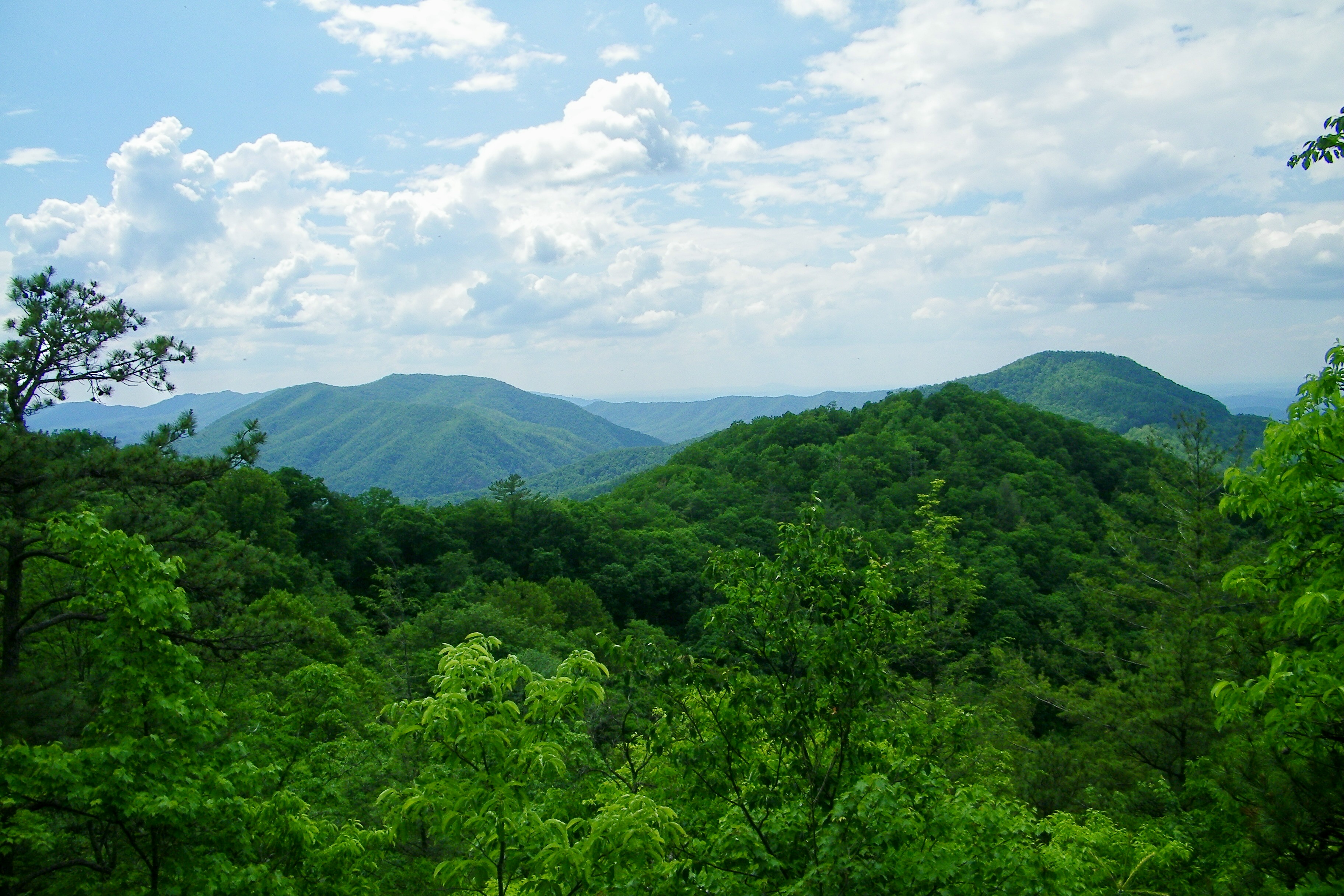
The World From the Top of Round Bald
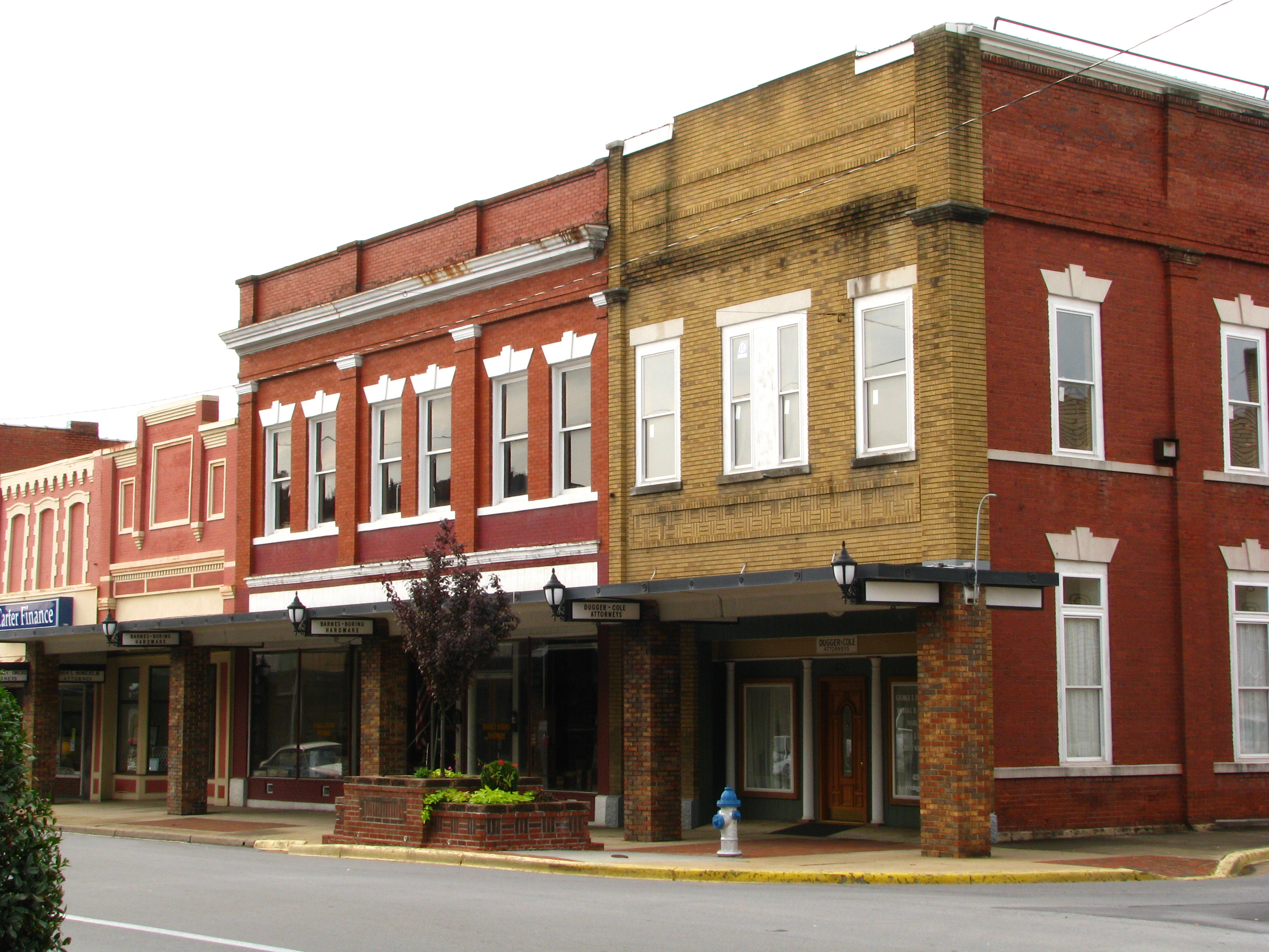
Storefronts of Historic Elizabethton - Barnes Boring Hardware

Johnson City Country Club

Birchfiel Building (Ritz Theater)
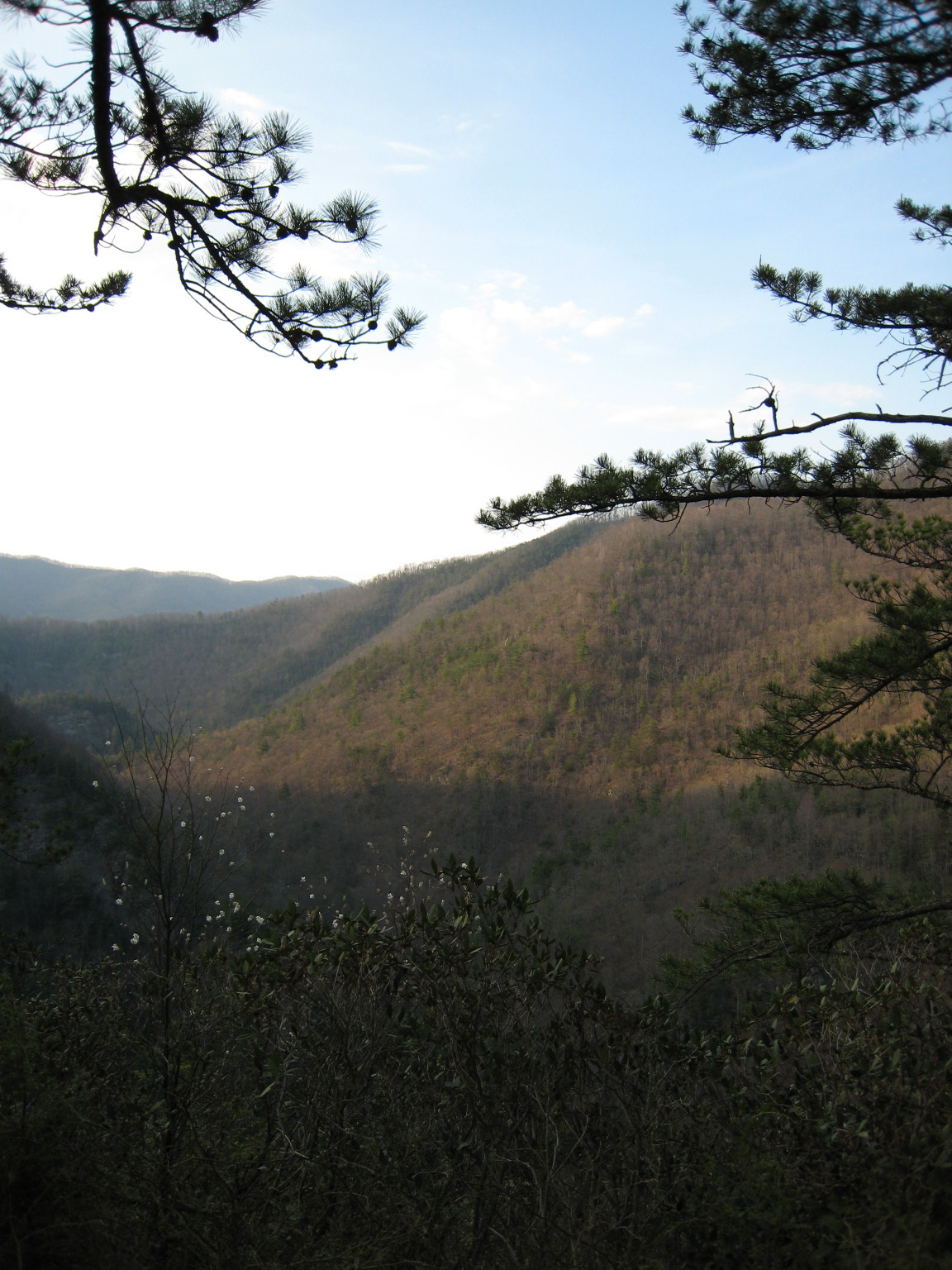
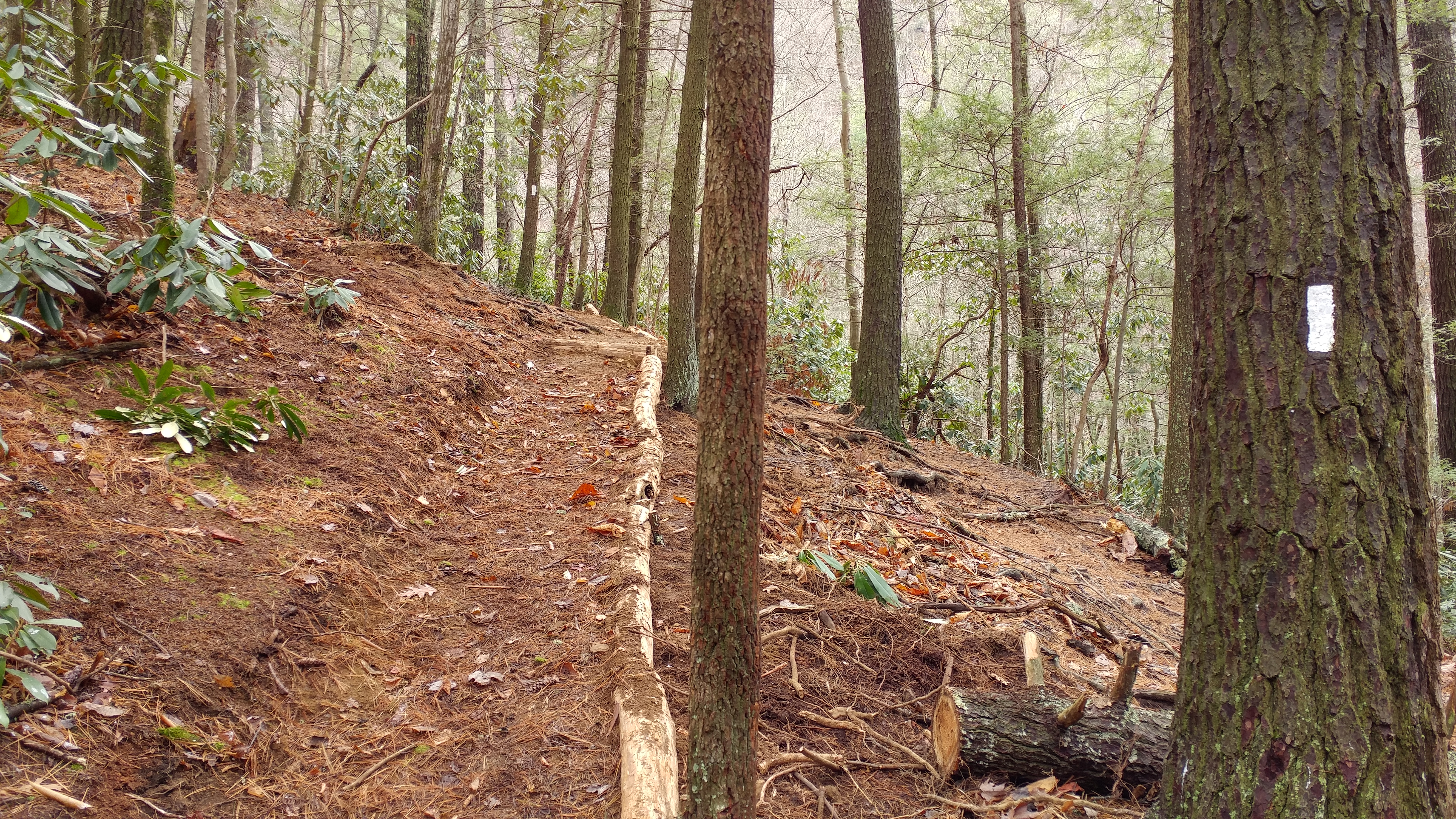
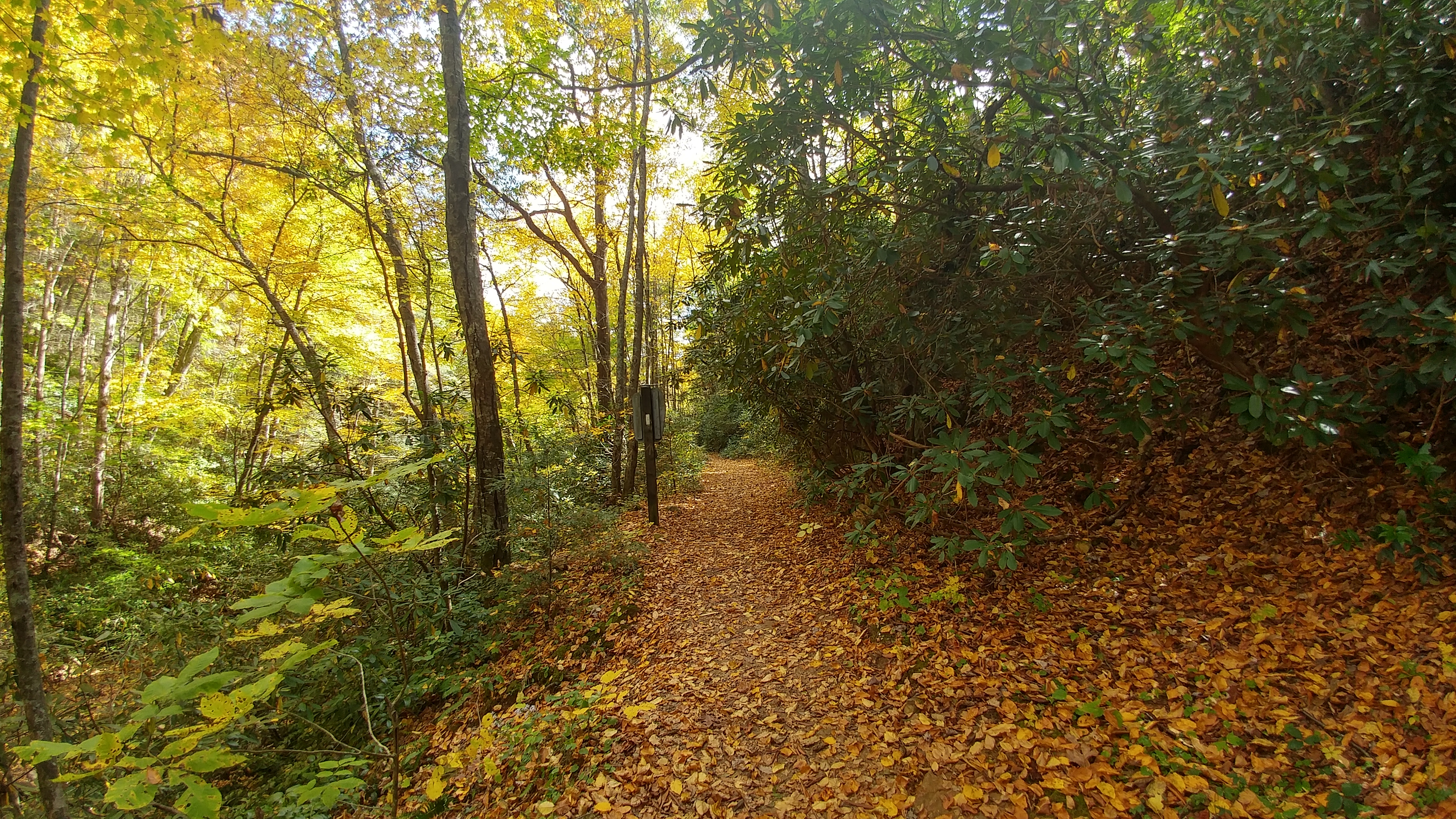
Appalachian Trail

You deserve a donut... with a view.
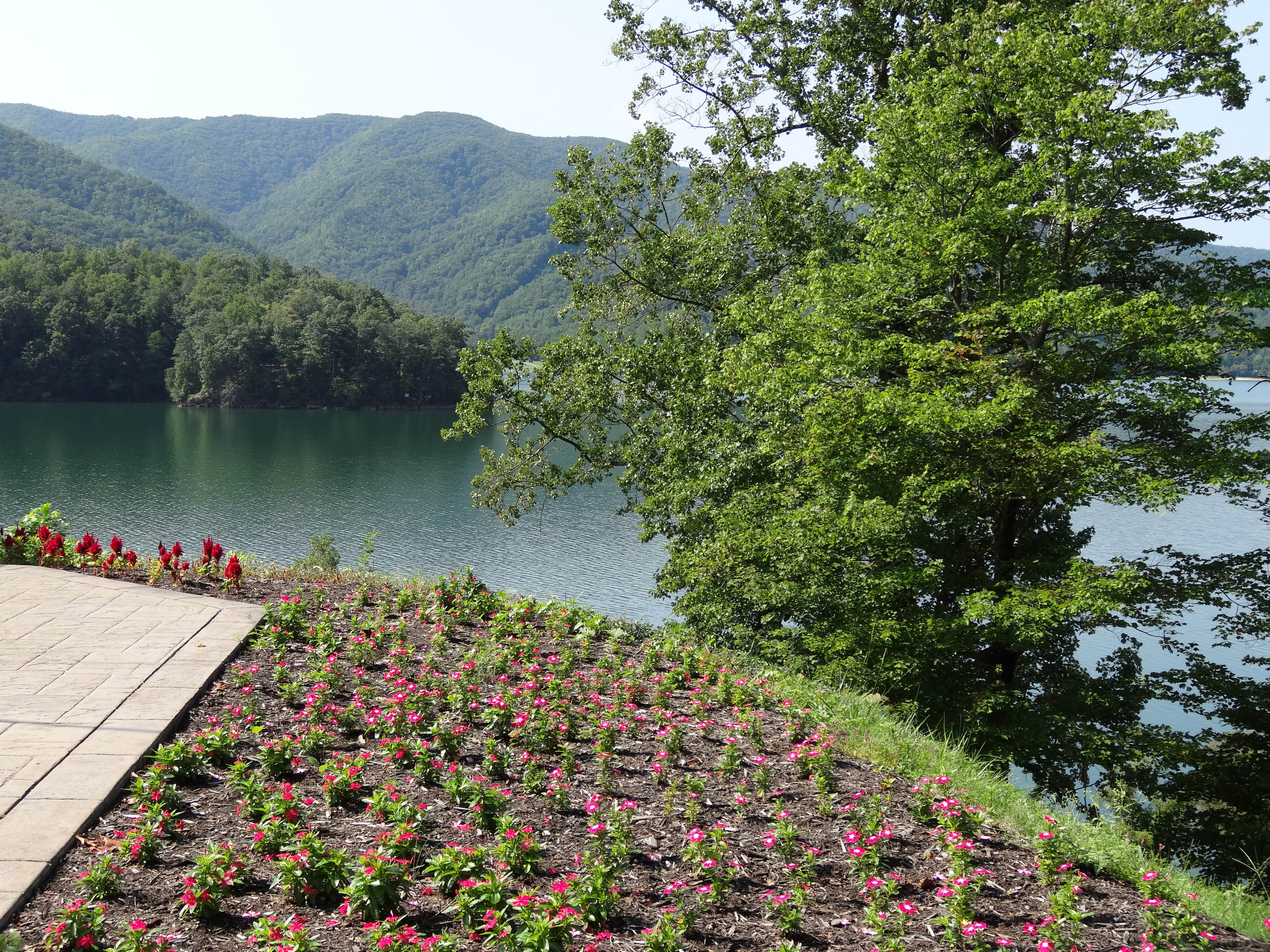
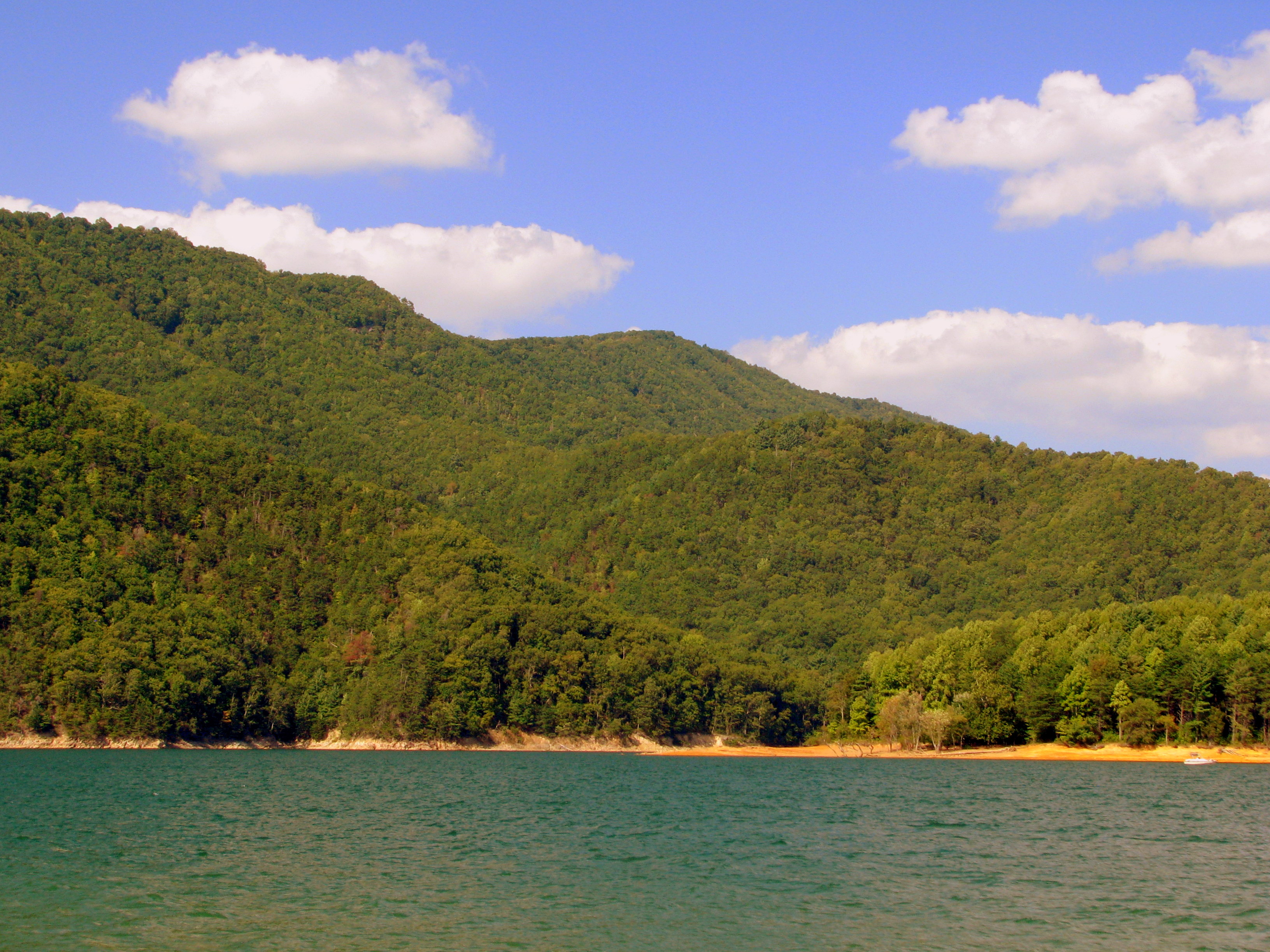
Watauga Lake, Carter County, TN

Buffalo Mountain Sunset_-1643-Edit

My view - what are you looking at right now?

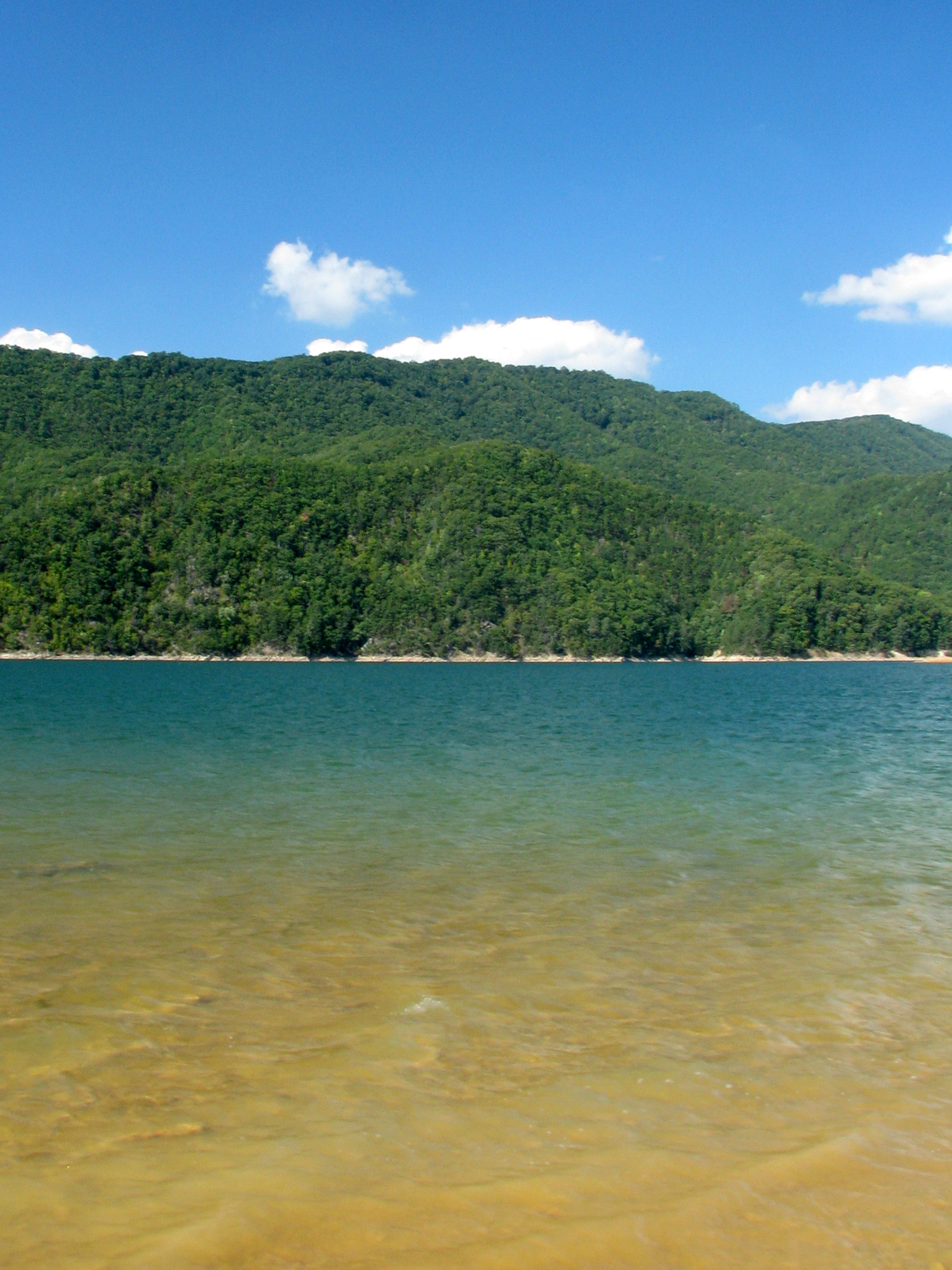
Watauga Lake, Carter County, TN5

Roan Mountain

Buffalo Pano
The view

2013.12.27 125K Views
Scenic View #2
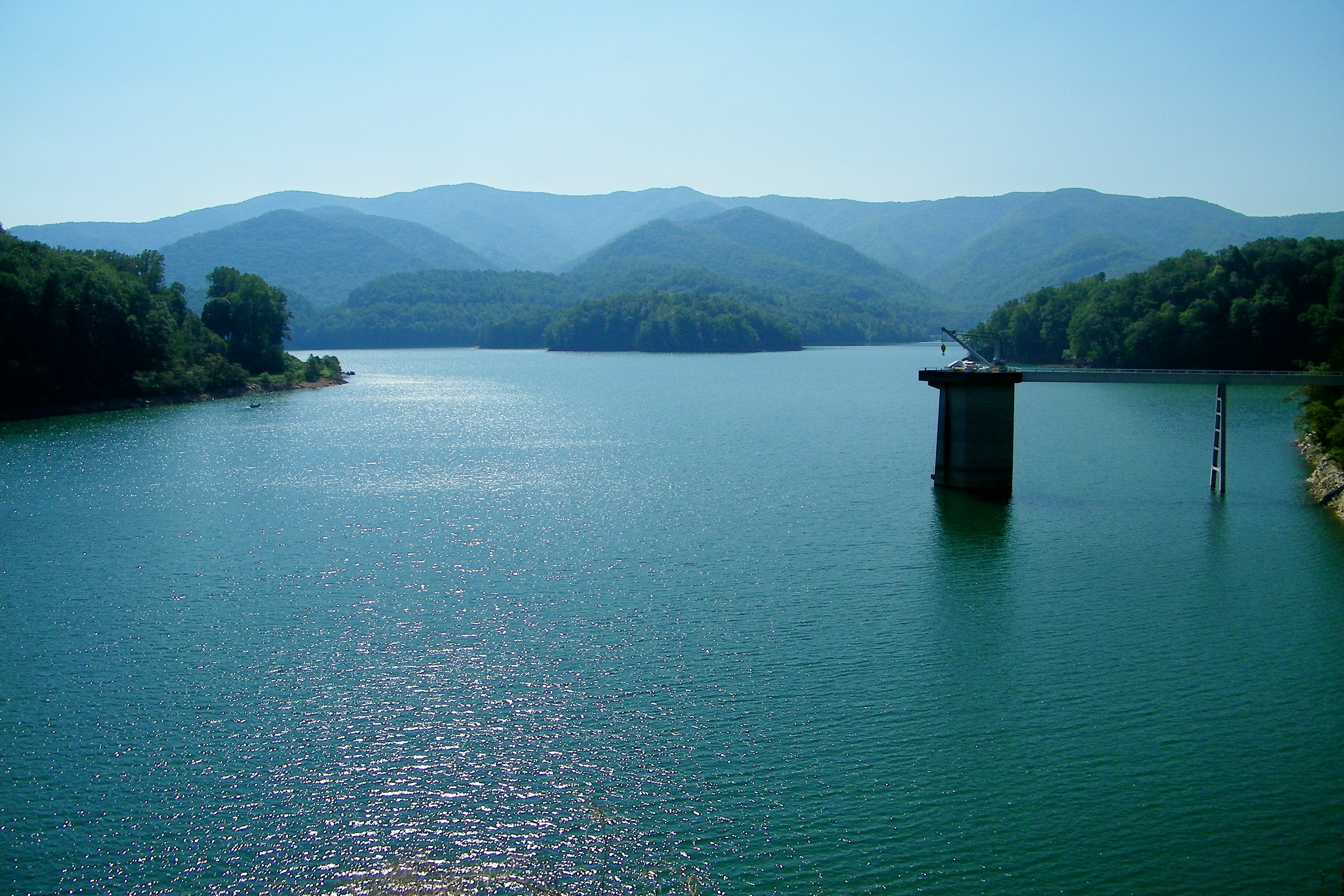
Watauga Lake
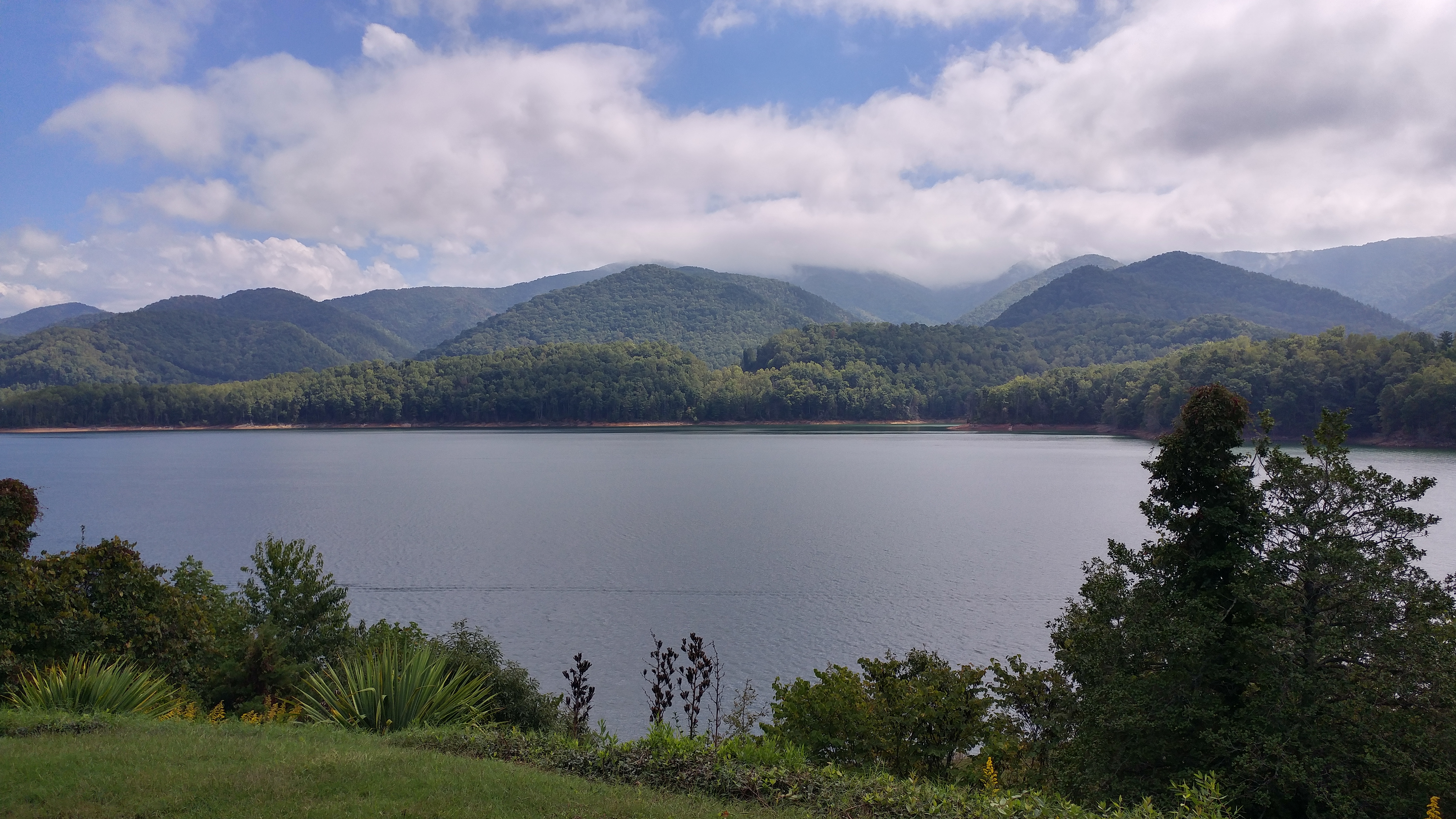
Watauga Lake, Carter County, TN3

myspace 022

Watauga Lake, Carter County, TN

IMG_5044- Lake Watauga- view across to Shook Branch

View from Vandeventer Shelter

C.R. "Doodle" White Overlook

Mountain Flame

Watauga Lake at Night
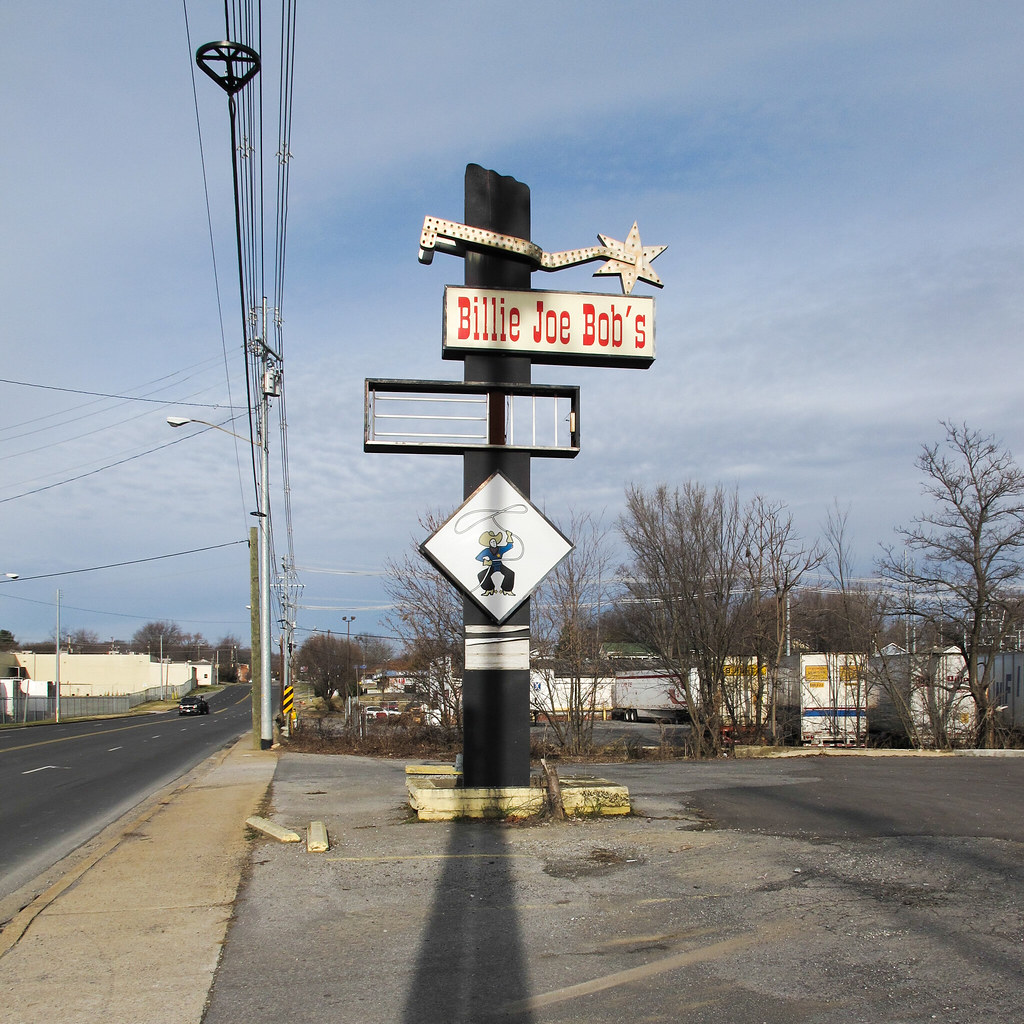
Cowboy drinking establishment of this urbanized region of the southern Appalachians.

Doe River Covered Bridge

#winter #hiking along the #appalachiantrail on the border of Tennessee/North Carolina during an amazing colorful #sunrise. The hiker pictured is @andrewwible #blueridgeoutdoors #blueridgemountains
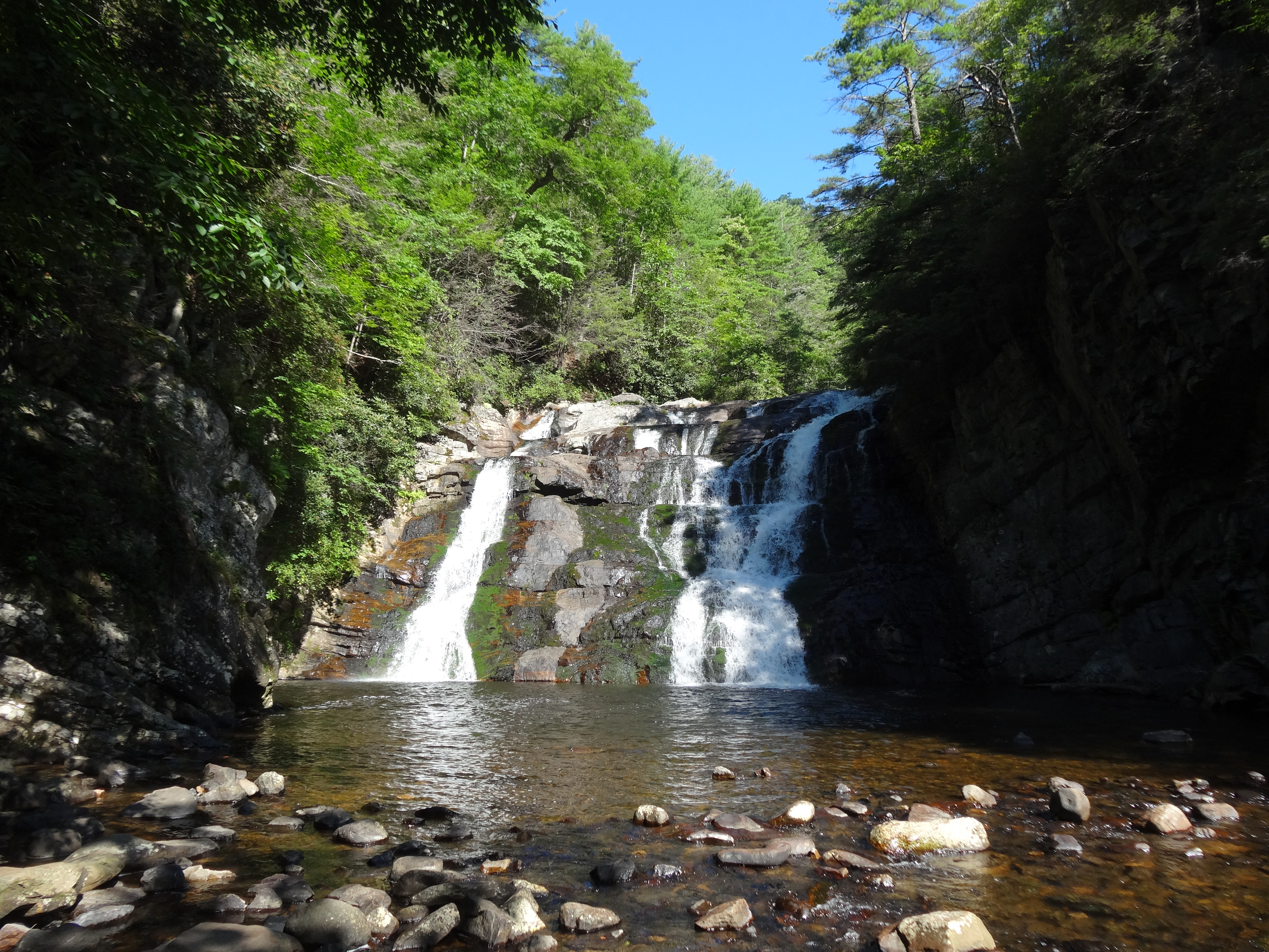
Laurel Fork Falls, Appalachian NST, TN

Double Exposer
Canute Place, Appalachian NST, TN2

A bitter cold dawn led to a bitter cold sunrise. :) this was a day only for the diehards at #roanmountain #roanmountainstatepark . This was taken on round bald as we were hiking to grassy ridge. By the time we got up to grassy ridge it was -12.2 F with 40
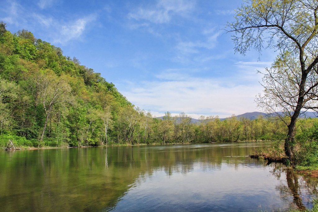
Morning on the Watauga

Mountains of Tennessee
north of Laurel Fork Falls, Appalachian NST, Hampton, TN2
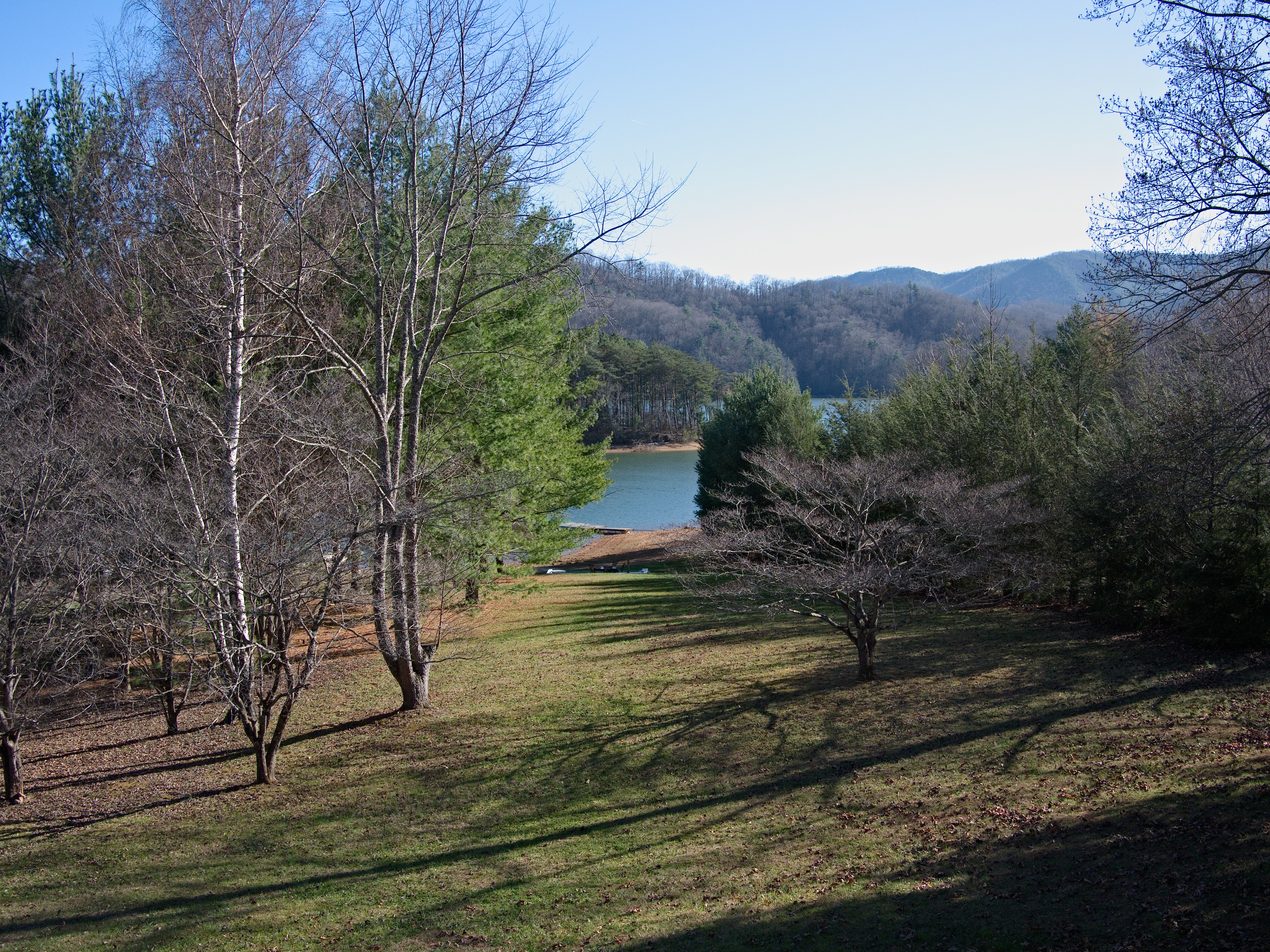
Watauga Lake

Laurel Falls
Watauga Lake
near Dennis Cove Rd, Appalachian NST, Hampton, TN2
Topographic Map of Edgewater Rd, Elizabethton, TN, USA
Find elevation by address:

Places near Edgewater Rd, Elizabethton, TN, USA:
142 Edgewater Rd
140 Edgewater Rd
149 Mill Pond Rd
149 Mill Pond Rd
128 Honeycutt St
108 Lyons Rd
Hampton
156 Mountain View Cir
147 Avon Ave
111 Mountain View Cir
102 Old Stateline Rd
144 Coal Chute Rd
115 Ruby Ave
140 Skeans Dr
228 Dogwood Acres Rd
207 Gasteiger Dr
230 Dogwood Acres Rd
110 Scaffold Branch Rd
103 Ed Stout Rd
2761 Siam Rd
Recent Searches:
- Elevation of Elwyn Dr, Roanoke Rapids, NC, USA
- Elevation of Congressional Dr, Stevensville, MD, USA
- Elevation of Bellview Rd, McLean, VA, USA
- Elevation of Stage Island Rd, Chatham, MA, USA
- Elevation of Shibuya Scramble Crossing, 21 Udagawacho, Shibuya City, Tokyo -, Japan
- Elevation of Jadagoniai, Kaunas District Municipality, Lithuania
- Elevation of Pagonija rock, Kranto 7-oji g. 8"N, Kaunas, Lithuania
- Elevation of Co Rd 87, Jamestown, CO, USA
- Elevation of Tenjo, Cundinamarca, Colombia
- Elevation of Côte-des-Neiges, Montreal, QC H4A 3J6, Canada