Elevation of Ed Burgess Rd, Ashland City, TN, USA
Location: United States > Tennessee > Cheatham County > Ashland City >
Longitude: -87.044879
Latitude: 36.2255656
Elevation: 124m / 407feet
Barometric Pressure: 100KPa
Elevation Map:
Satellite Map:
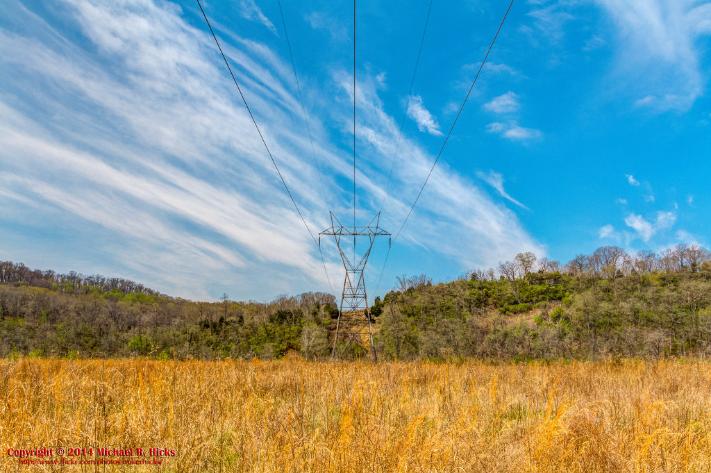
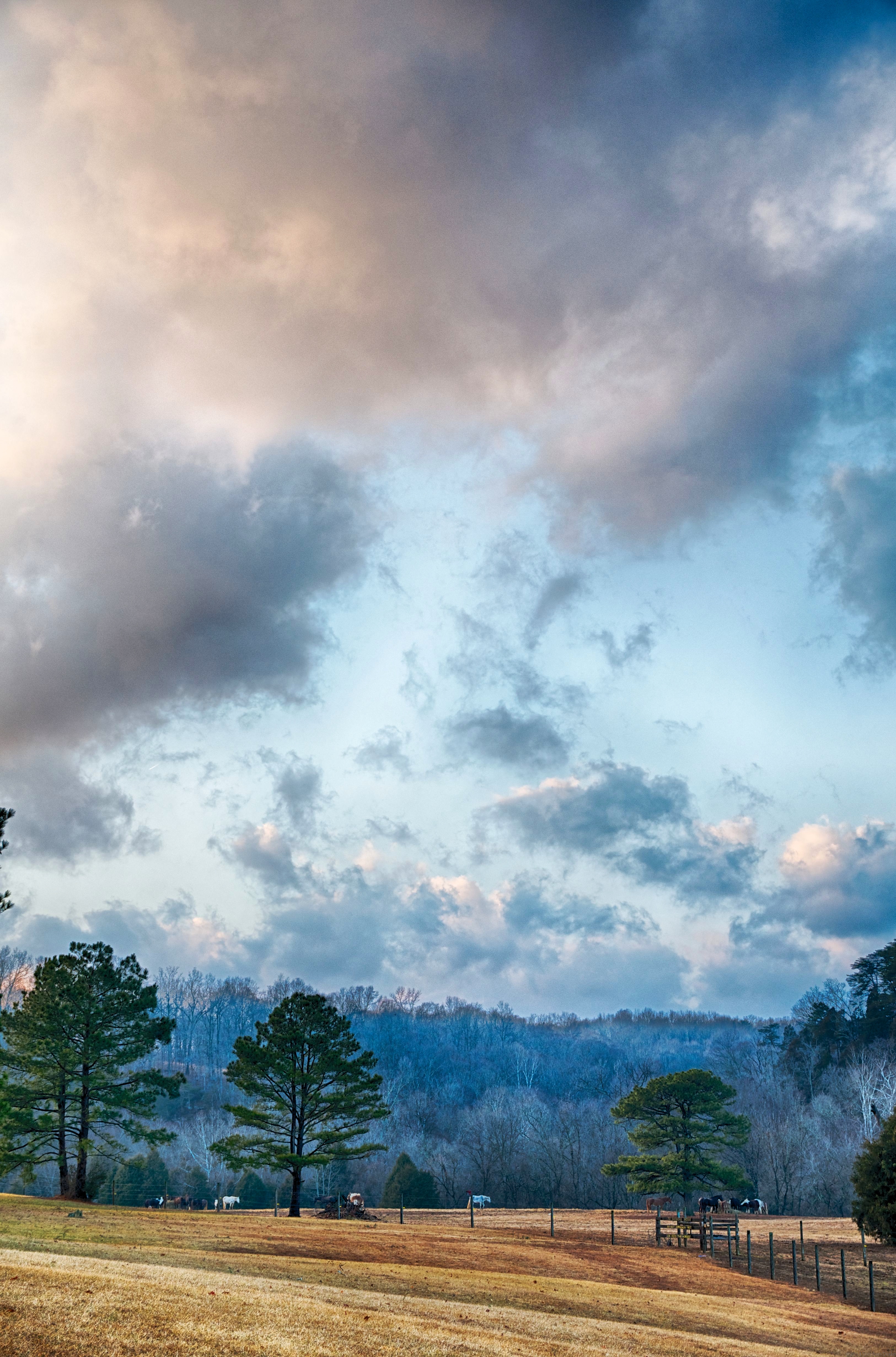
Related Photos:

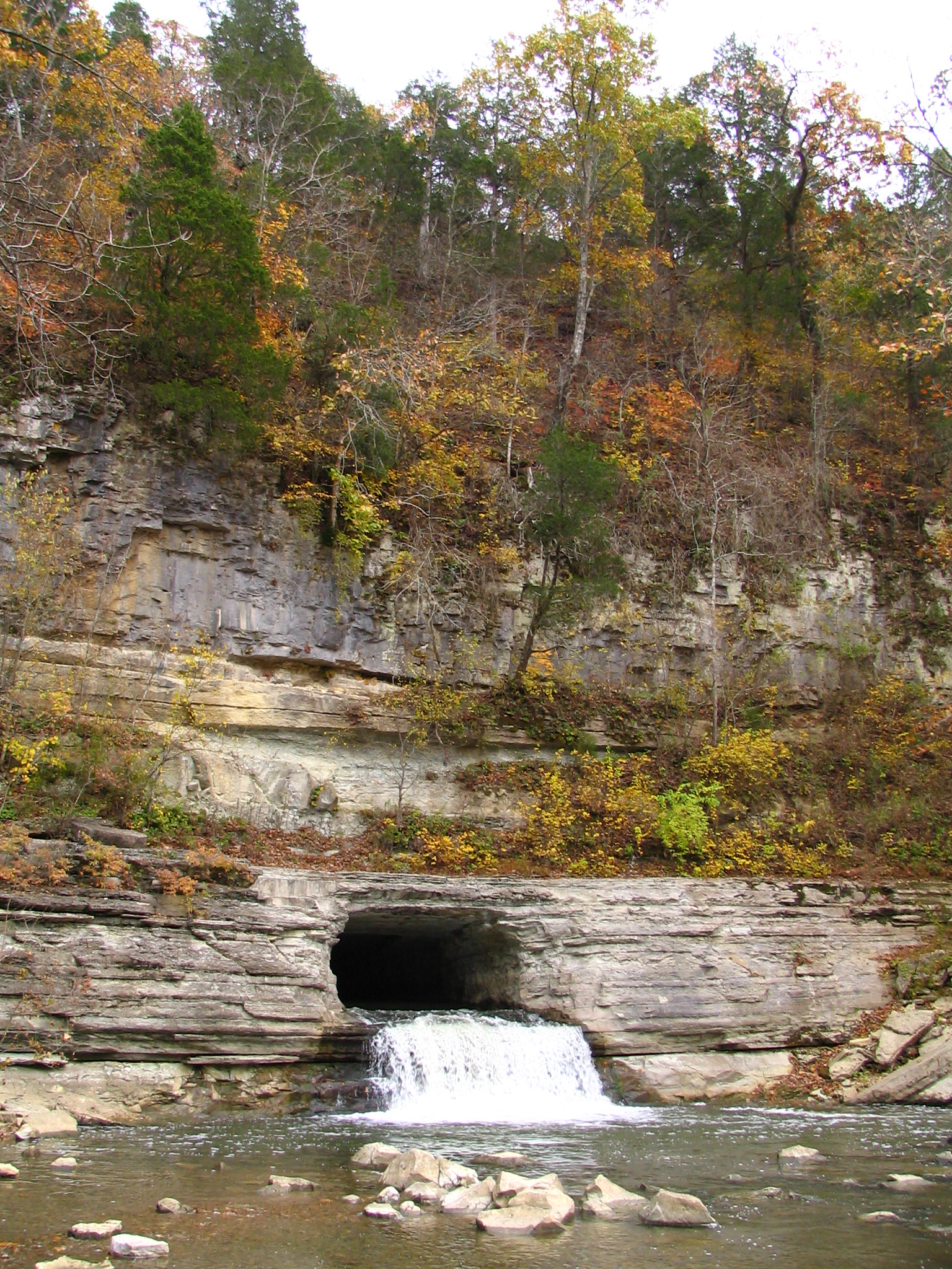
Montgomery Bell Tunnel, Narrows of the Harpeth
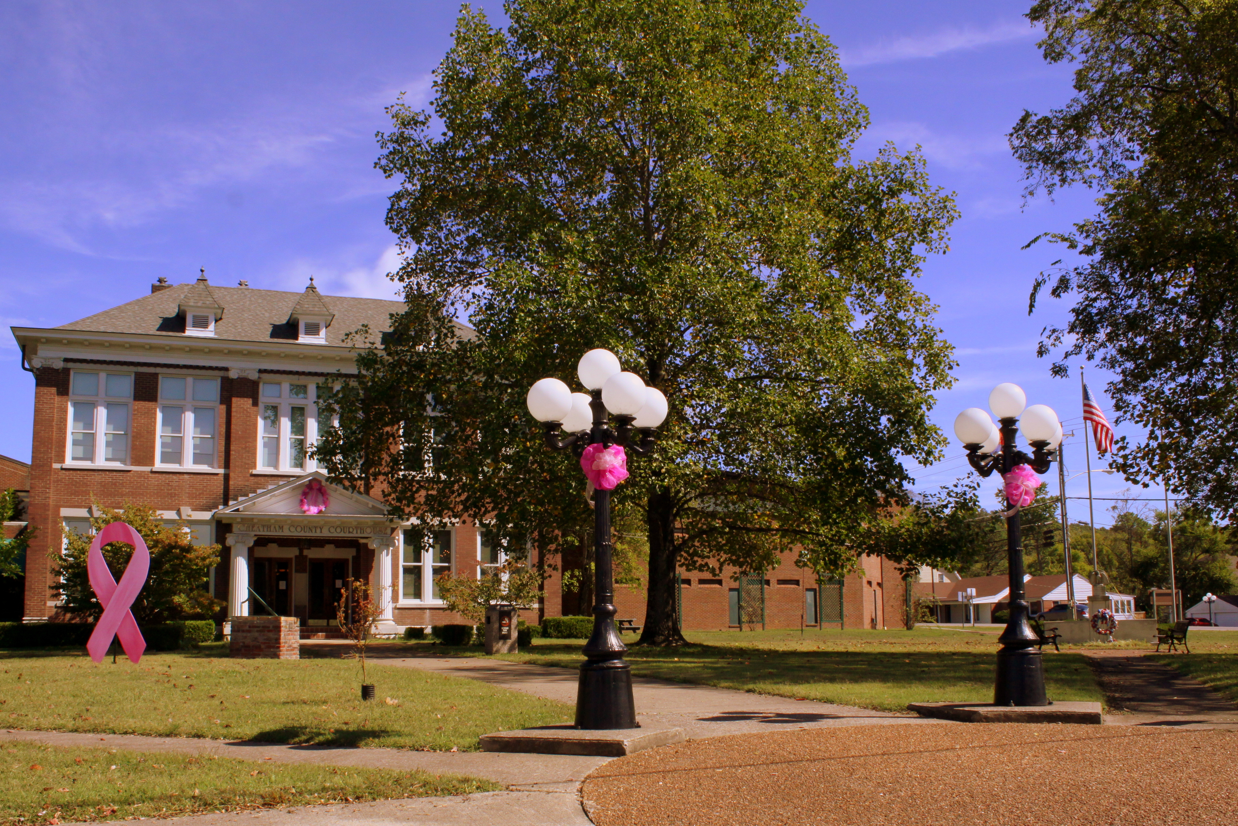
Cheatham County Courthouse and Lamps (Oct. 2014) - Ashland City, TN
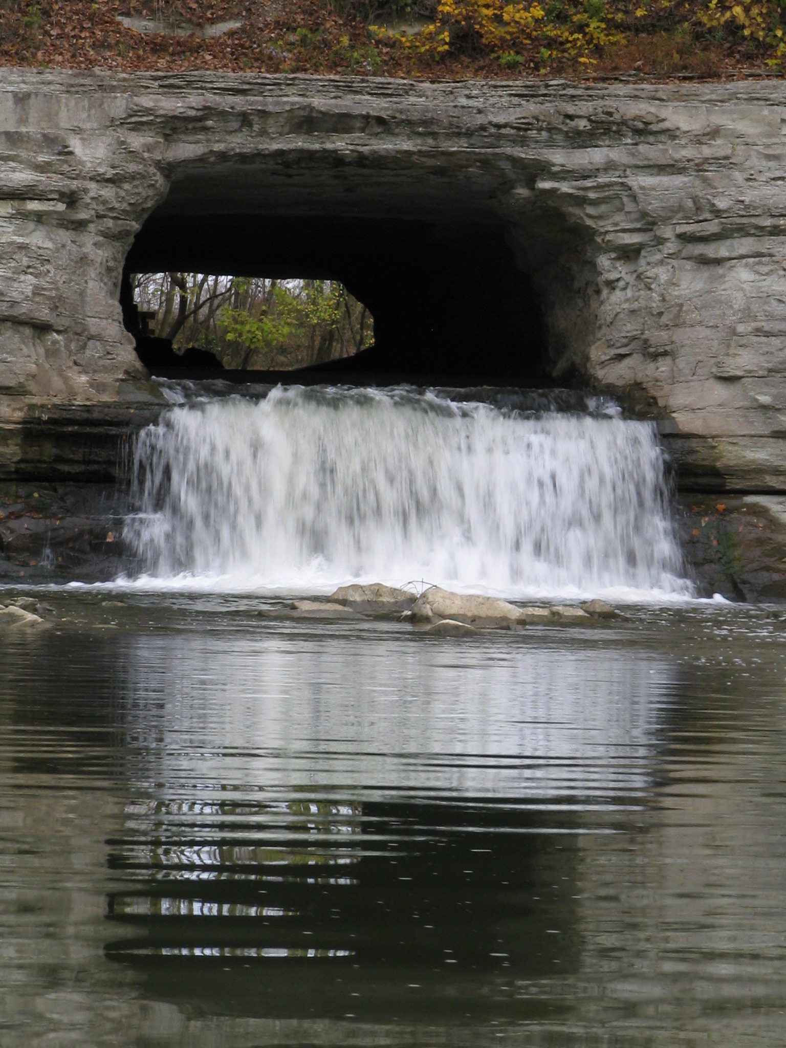
closeup view of Montgomery Bell Tunnel
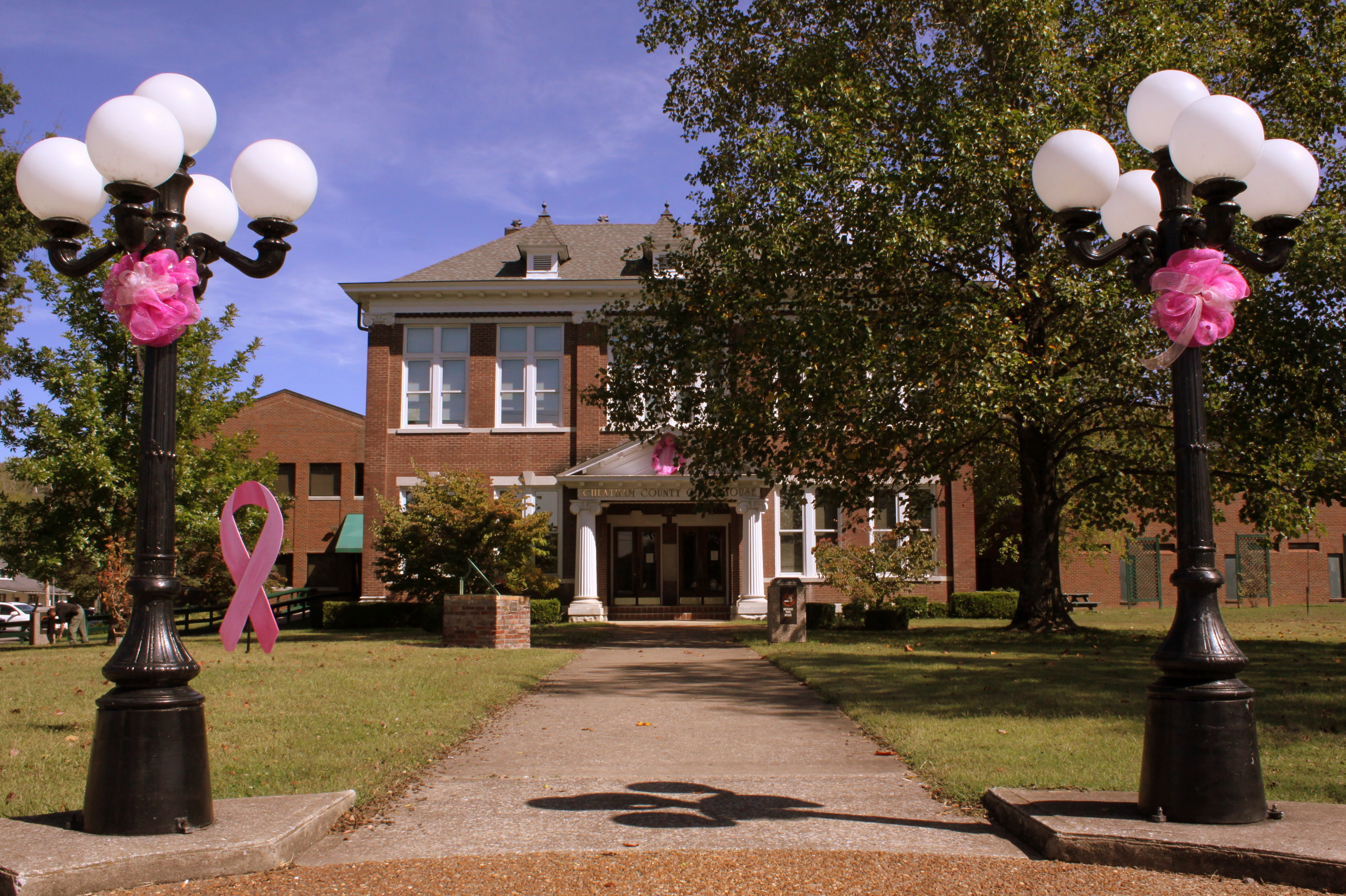
Cheatham County Courthouse Grounds(Oct. 2014) - Ashland City, TN
Cheatham County Courthouse at dusk - Ashland City, TN

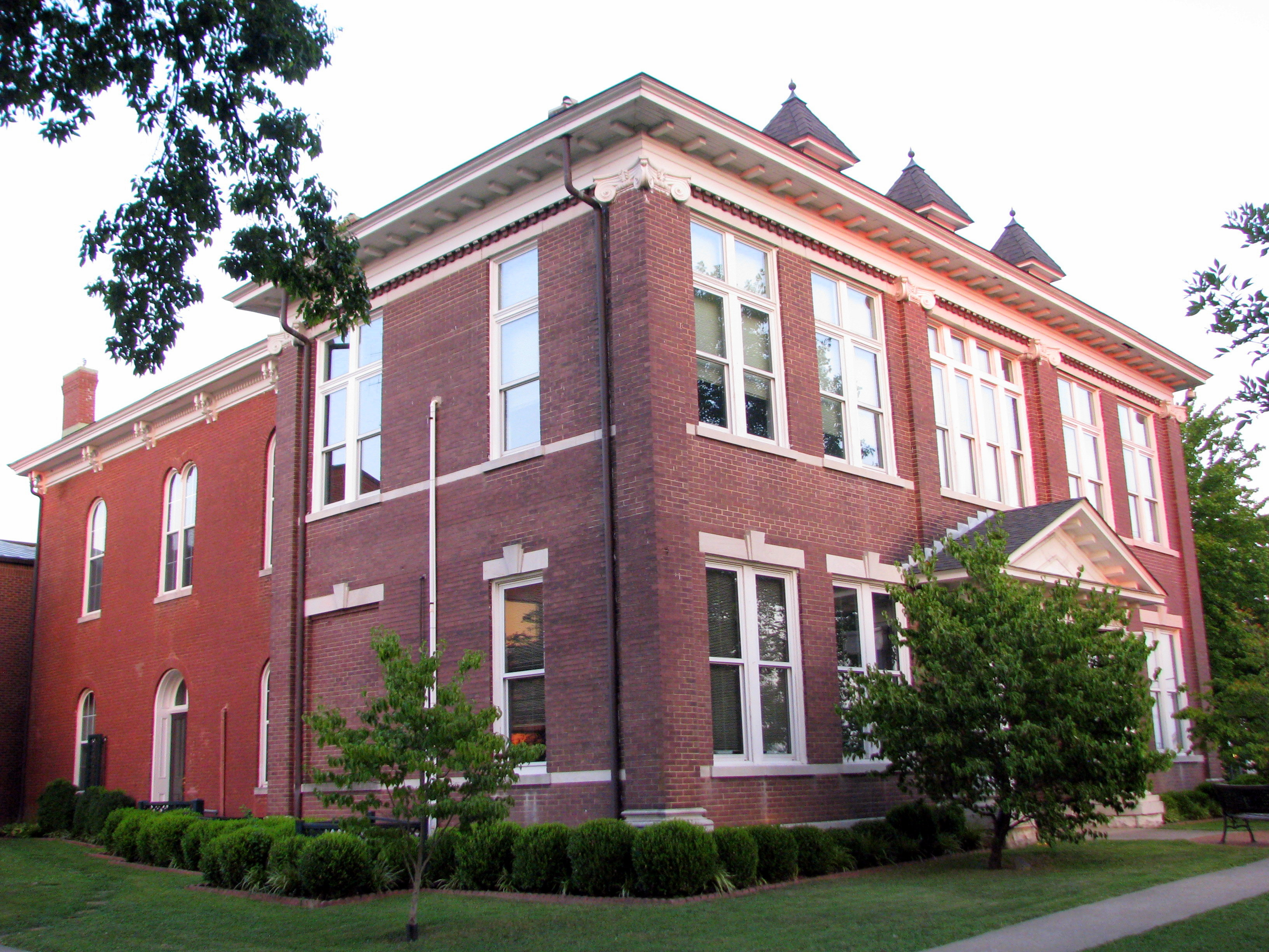
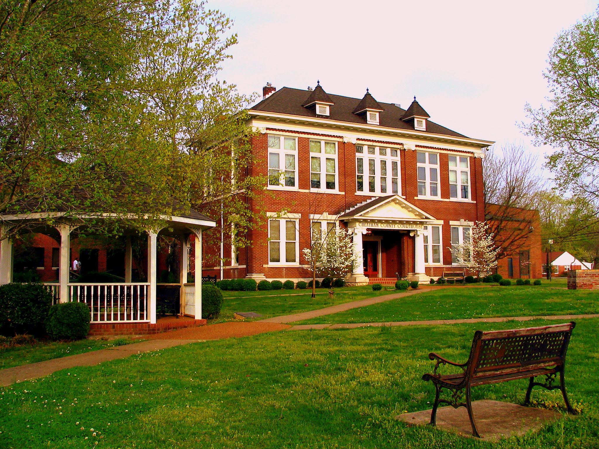
Cheatham County, TN Courthouse - Ashland City, TN
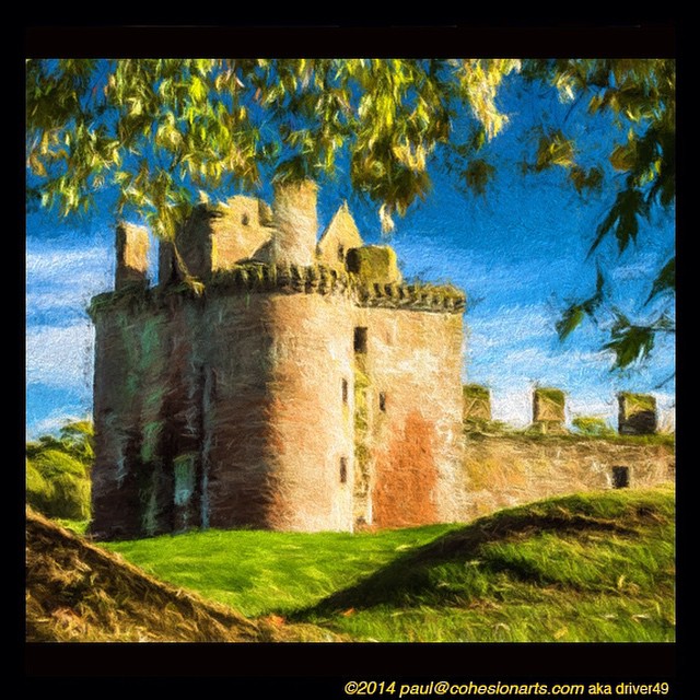
Anothere view of Caerlaverock Castle - as JMW Turner might have painted it. @tintedsteam @MrTurnerFilm @historicscotland @welovehistory @visitscotland @GreatBritain @TwitterUK The Instagram really doesn’t doesn’t do it justice… #Medieval #medievaleuro

Anothere view of Caerlaverock Castle - as JMW Turner might have painted it. @tintedsteam @MrTurnerFilm @historicscotland @welovehistory @visitscotland @GreatBritain @TwitterUK The Instagram really doesn’t doesn’t do it justice… #Medieval #medievaleuro
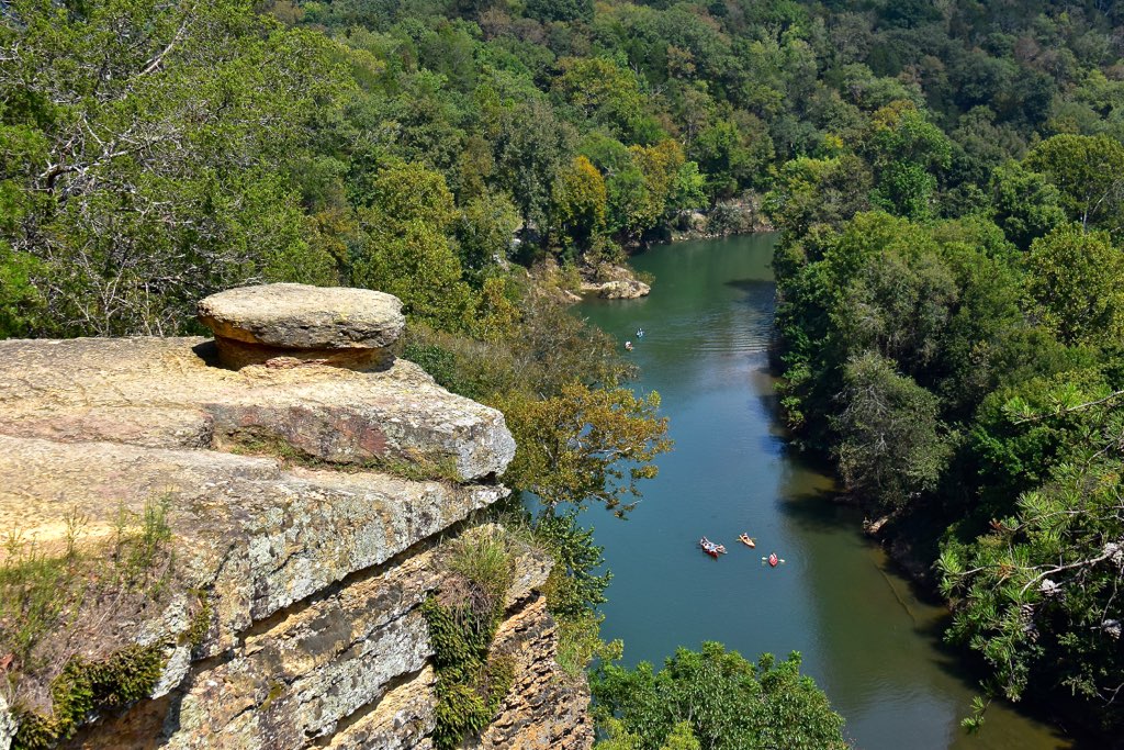
Narrows of the Harpeth Overlook
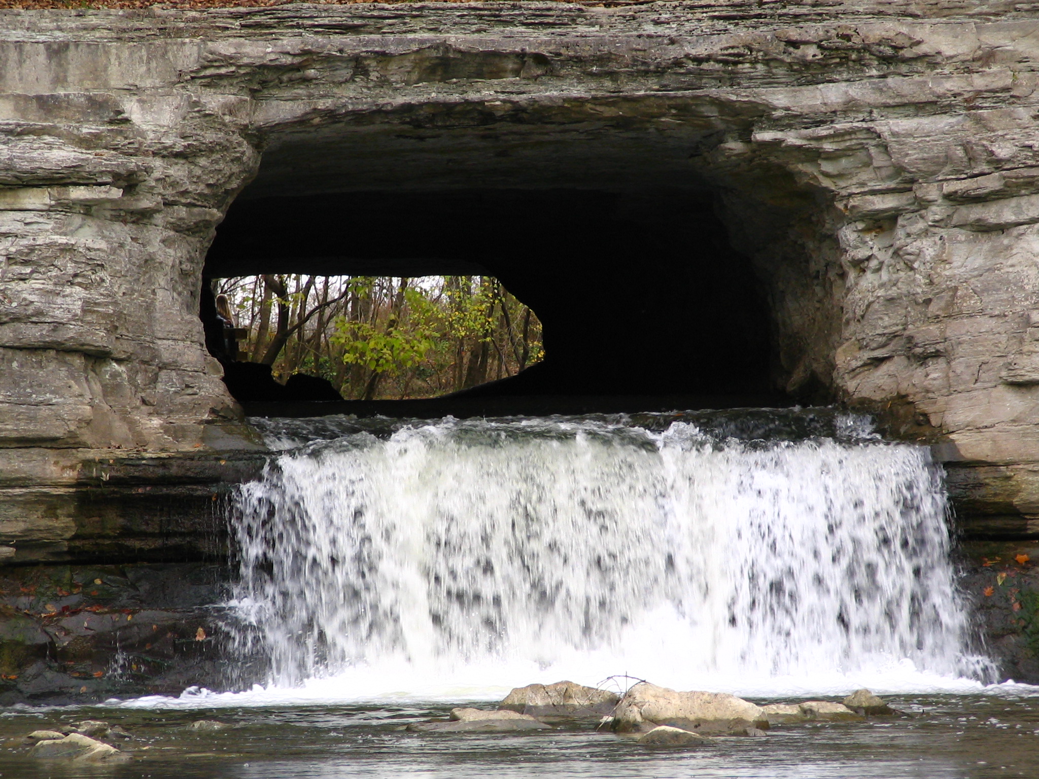
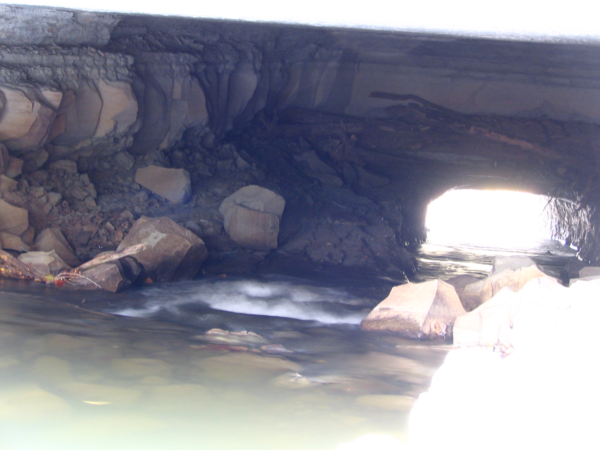
Extreme Closeup view of Montgomery Bell Tunnel
Alternate view of Montgomery Bell Tunnel
Cheatham County Courthouse, Ashland City, TN
Alternate view of Montgomery Bell Tunnel

Chelsea #1
Clear View of Montgomery Bell's Gravesite
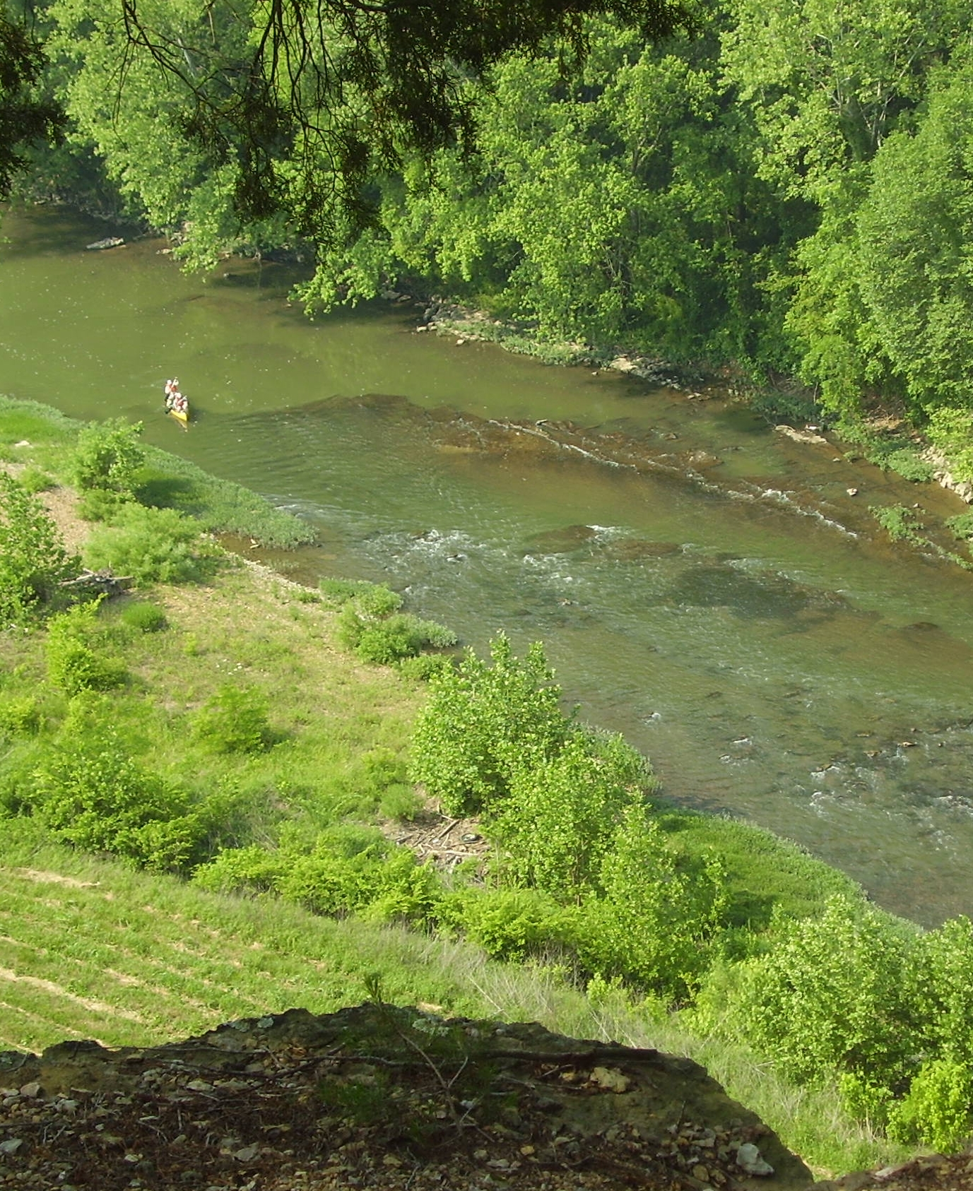
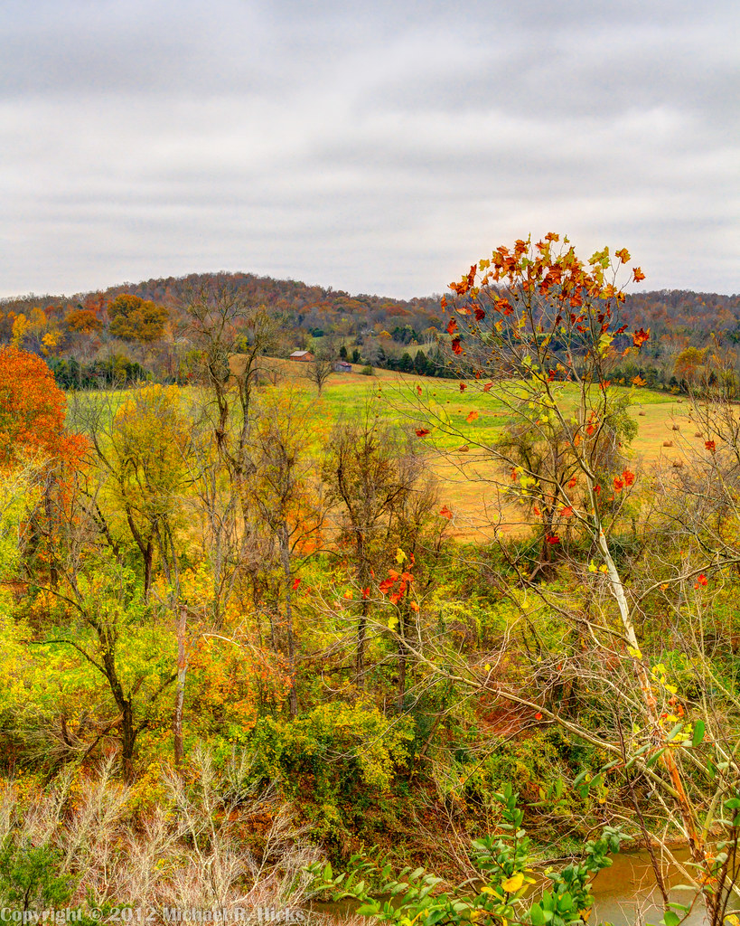
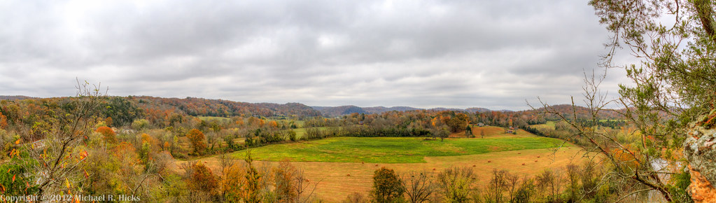
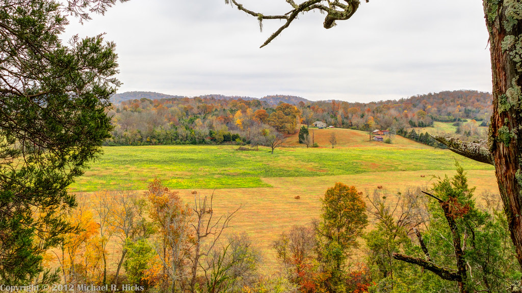
View from Mace Bluff
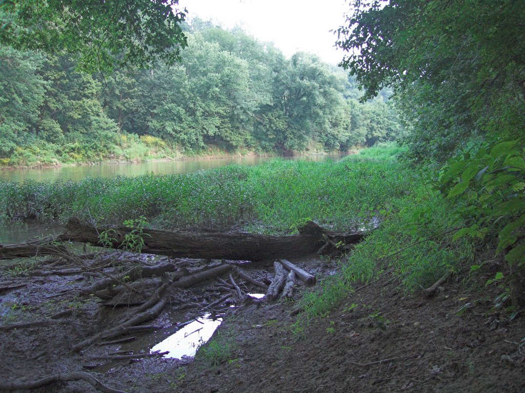
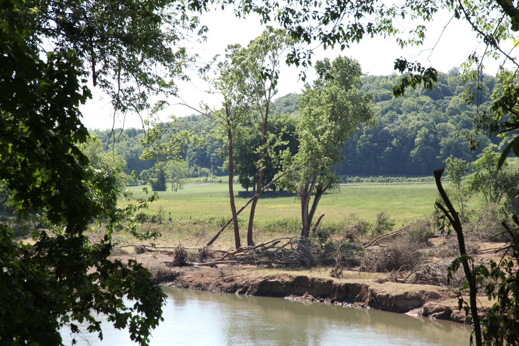
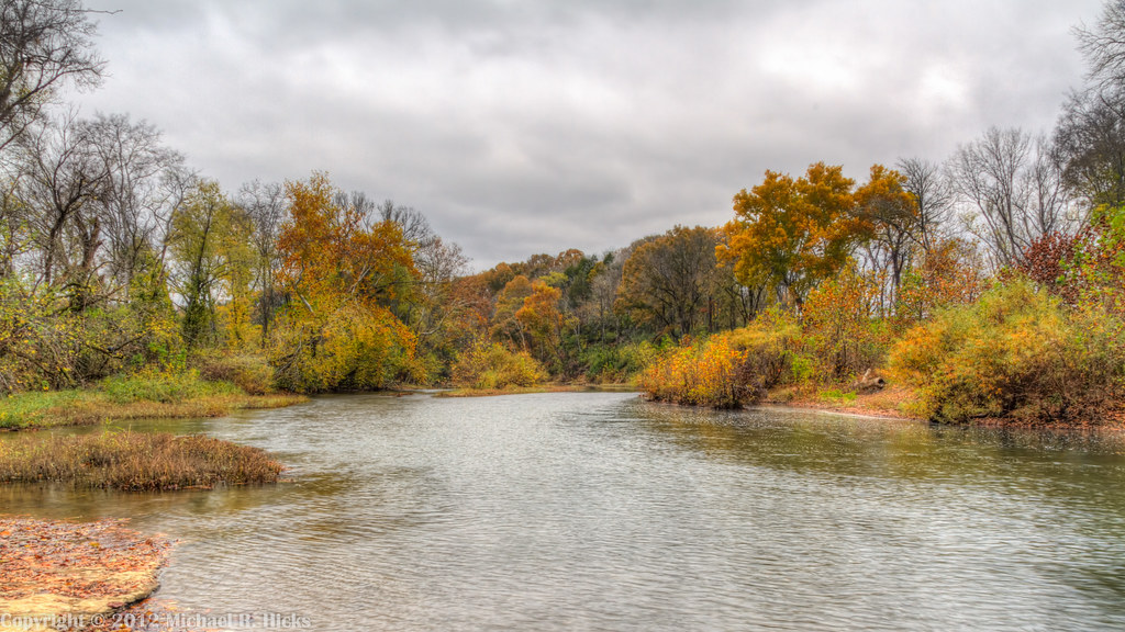
River View
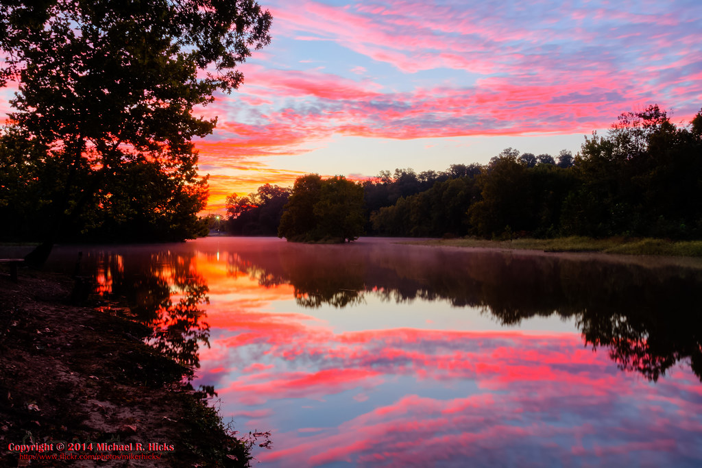
Good Morning

Cumberland River view
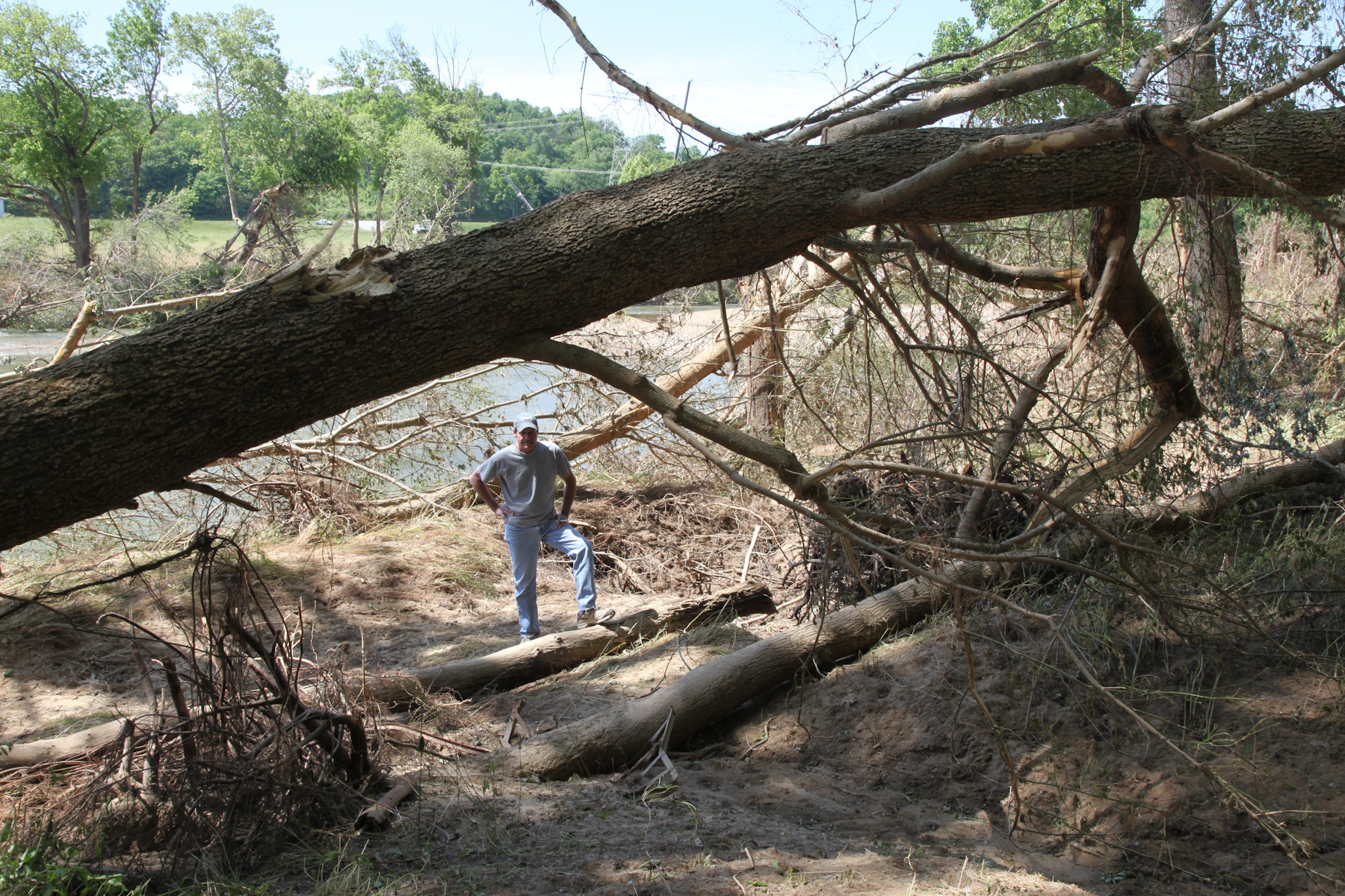
Viewing the Damage
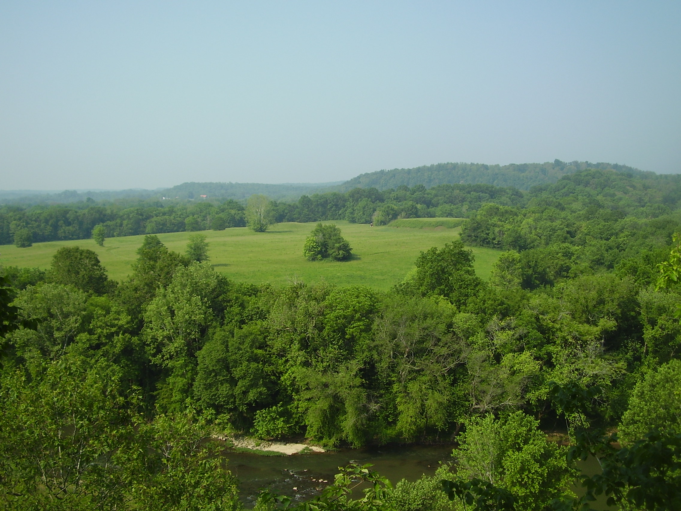
Mound Bottom viewed from Mace Bluff
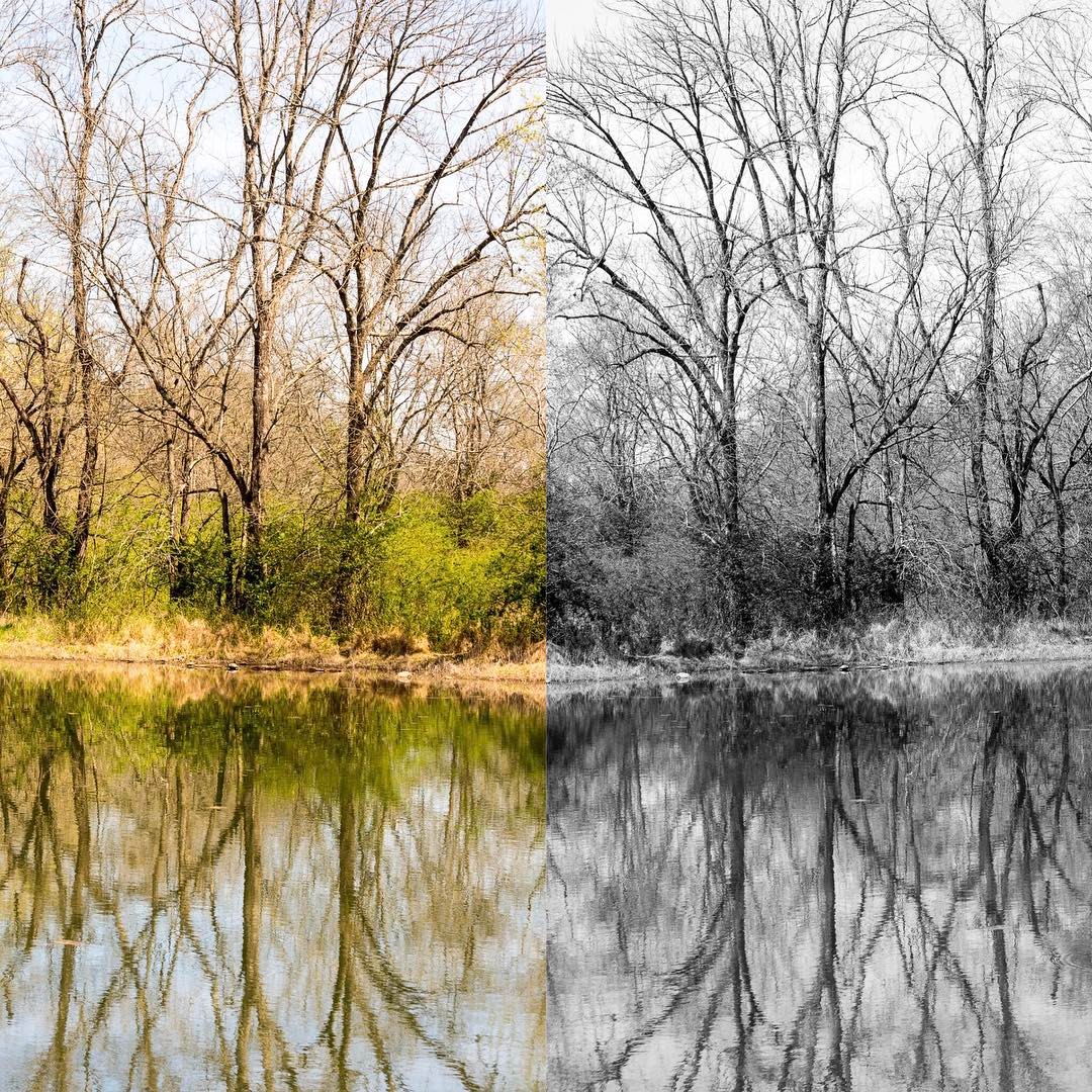
Leatherwood Creek
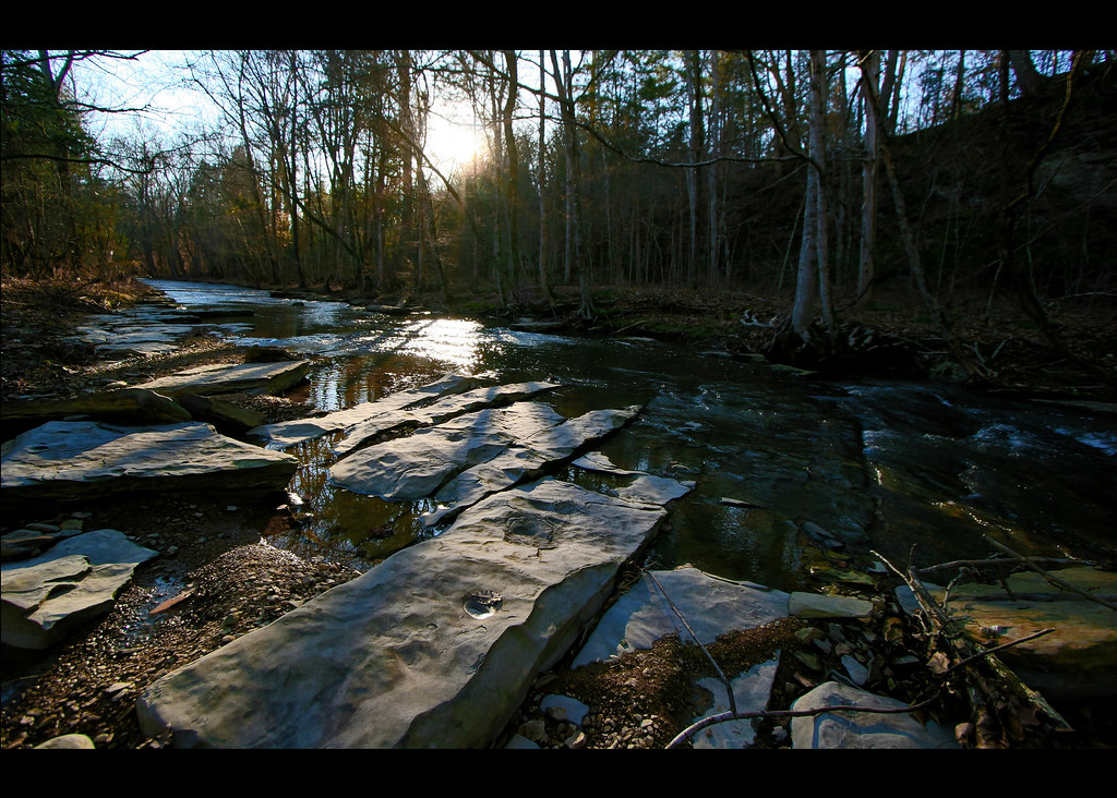
Harpeth River State Park - Narrows of the Harpeth

Harpeth River State Park - Narrows of the Harpeth
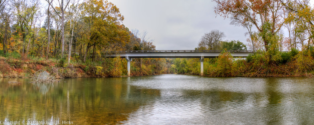
Harpeth River State Park - Harris Street Bridge Canoe Access
Harpeth River State Park - Narrows of the Harpeth
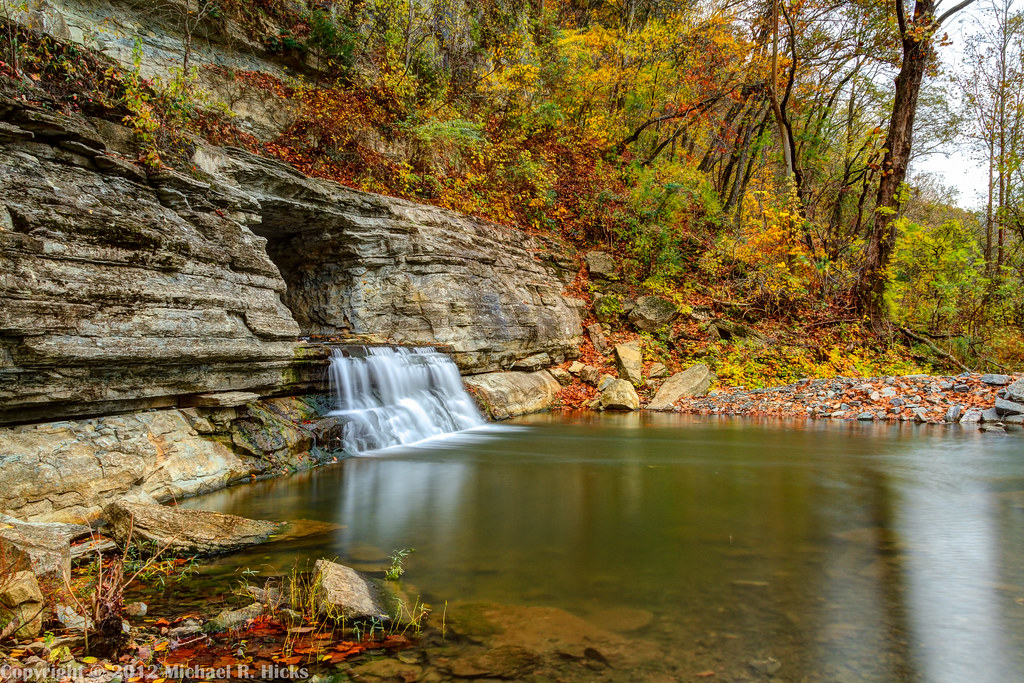
Harpeth River State Park - Narrows of the Harpeth
Harpeth River State Park - Narrows of the Harpeth
Beautiful hike in #bellsbend park. #hikenashville #nashville
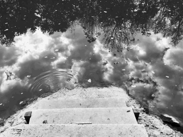
Stairway to heaven
Harpeth River State Park - Gossett Tract State Natural Area
Cedar Hill Road
getolympus @visitscotland All Roads Lead to Wester Ros - Scottish Highlands @Glasgow @Dumfries @AberdeenAngusUK @KingdomOfFife @historicscotland @welovehistory @GreatBritain @TwitterUK —>>> I'll he returning to the UK Oct 8-22, #Glasgow, #Dumfries
Leatherwood Creek
Harpeth River State Park - Gossett Tract State Natural Area
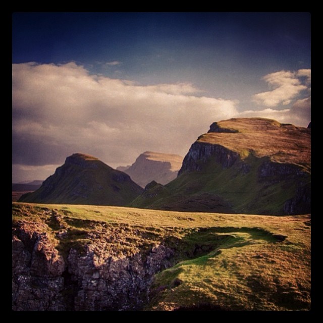
@visitscotland #brilliantmoments #queraing #scotland The Queraing on @isleoskye in @TwitterUK #scenic #travel @GreatBritain #highlands #blog #digest

@IsleOSkye @visitscotland @GreatBritain Just over the bridge, coming into the Isle of Skye in the #Scotish #Highlands - October 2012 #Scotland #photooftheday #thebest_capture #ig_masterpiece #nuriss_tag #awe_inspiringshots #pro_ig #global_highli
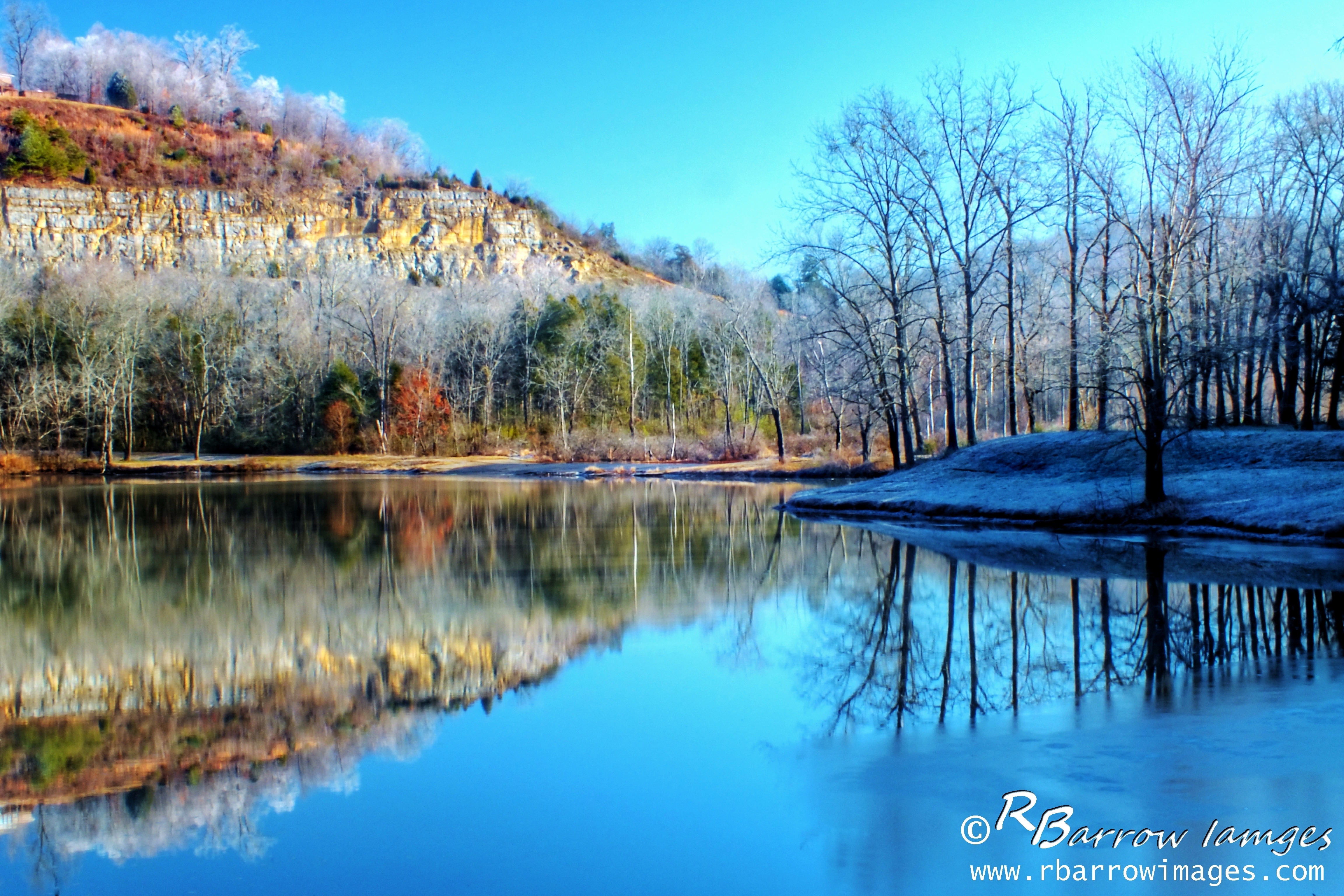
Winter Lake and Cliff
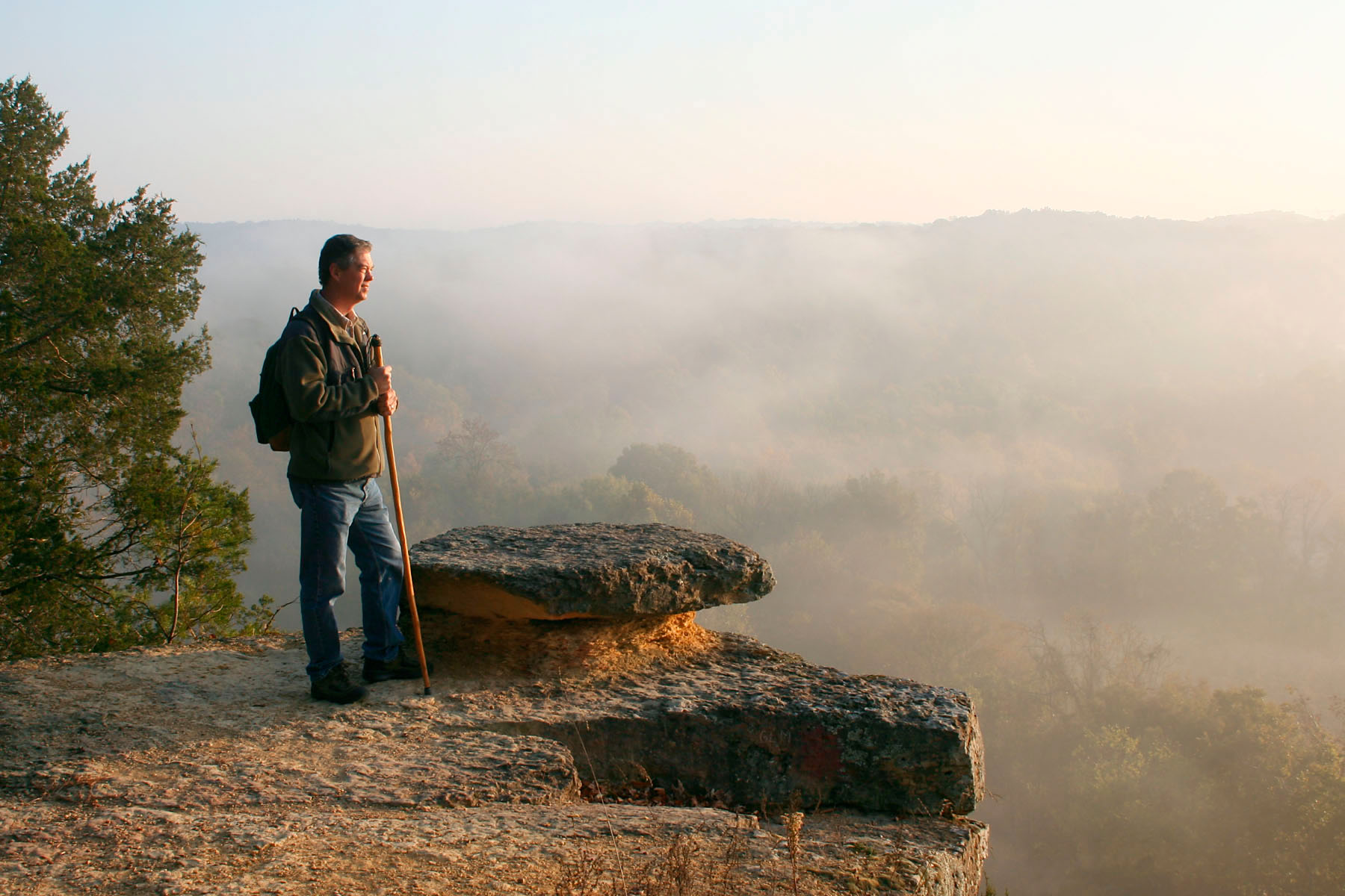
Sunrise - 3rd annual George McCabe Memorial Hike
Bells Bend Outdoor Expo - April 5, 2014
clouds after a storm
Topographic Map of Ed Burgess Rd, Ashland City, TN, USA
Find elevation by address:

Places near Ed Burgess Rd, Ashland City, TN, USA:
River Rd, Ashland City, TN, USA
1012 Sunrise Cir
Floy Ln, Ashland City, TN, USA
1020 Floy Ln
Ashland Farms Apartments
TN-12, Ashland City, TN, USA
Little Marrowbone Rd, Ashland City, TN, USA
Ashland City
100 N Main St
115 N Vine St
171 Shoals Landing
314 Bandy Rd
Bandy Road
275 Ed Harris Rd
277 Ed Harris Rd
1011 Greenbrier Rd
1101 Abernathy Rd
1836 Tn-12
1836 Tn-12
1533 Primm Rd
Recent Searches:
- Elevation of Badaber, Peshawar, Khyber Pakhtunkhwa, Pakistan
- Elevation of SE Heron Loop, Lincoln City, OR, USA
- Elevation of Slanický ostrov, 01 Námestovo, Slovakia
- Elevation of Spaceport America, Co Rd A, Truth or Consequences, NM, USA
- Elevation of Warwick, RI, USA
- Elevation of Fern Rd, Whitmore, CA, USA
- Elevation of 62 Abbey St, Marshfield, MA, USA
- Elevation of Fernwood, Bradenton, FL, USA
- Elevation of Felindre, Swansea SA5 7LU, UK
- Elevation of Leyte Industrial Development Estate, Isabel, Leyte, Philippines