Elevation of Eastville Village Rd, Newport, ME, USA
Location: United States > Maine > Penobscot County > Newport > Newport >
Longitude: -69.258108
Latitude: 44.824533
Elevation: 73m / 240feet
Barometric Pressure: 100KPa
Elevation Map:
Satellite Map:
Related Photos:
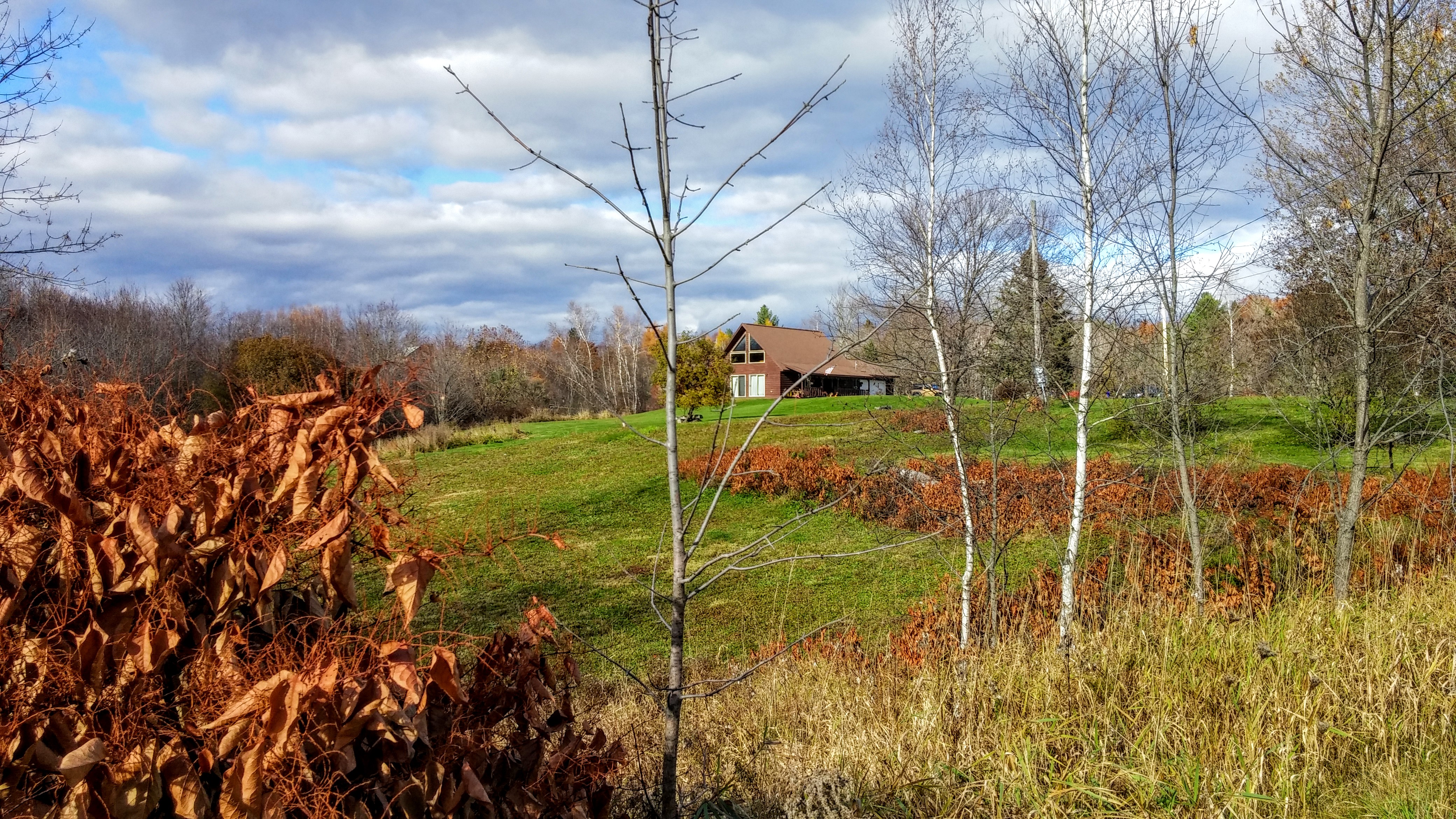
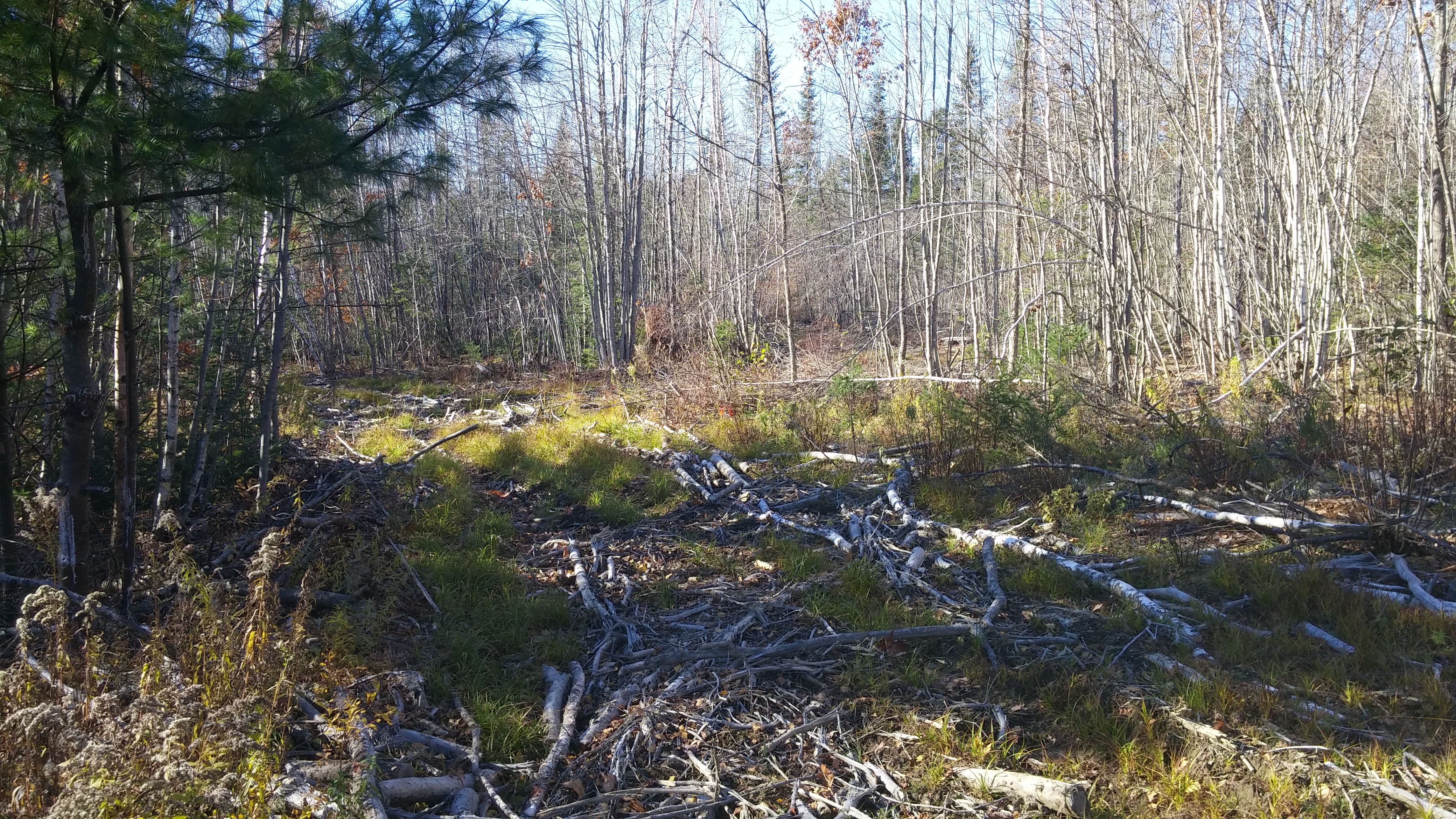
2015 11 02 USA ME Palmyra - out for a walk

lake view, left
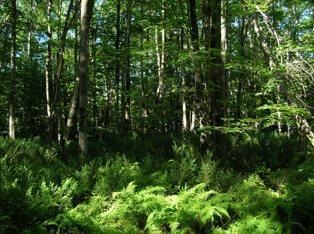
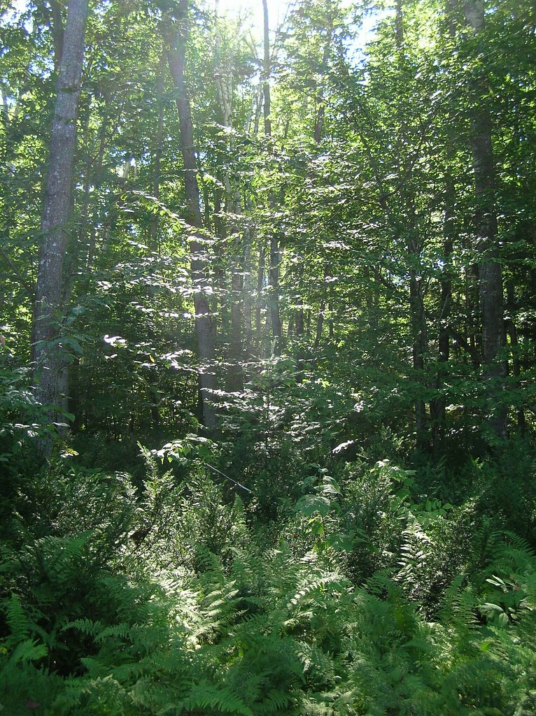
trees and ferns
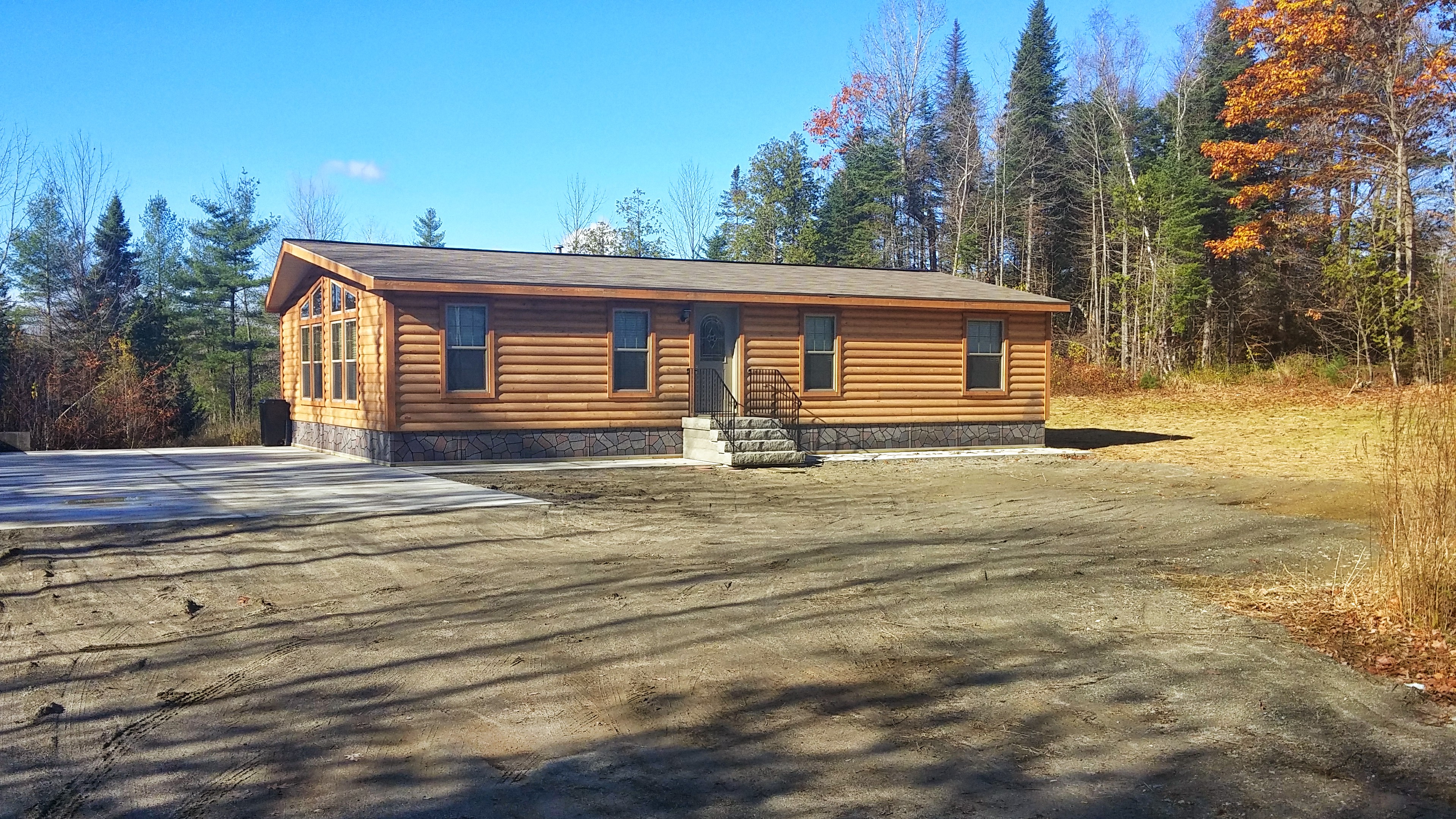
2014 10 08 USA ME Palmyra 76R

hammock view of a birch on Birch Island
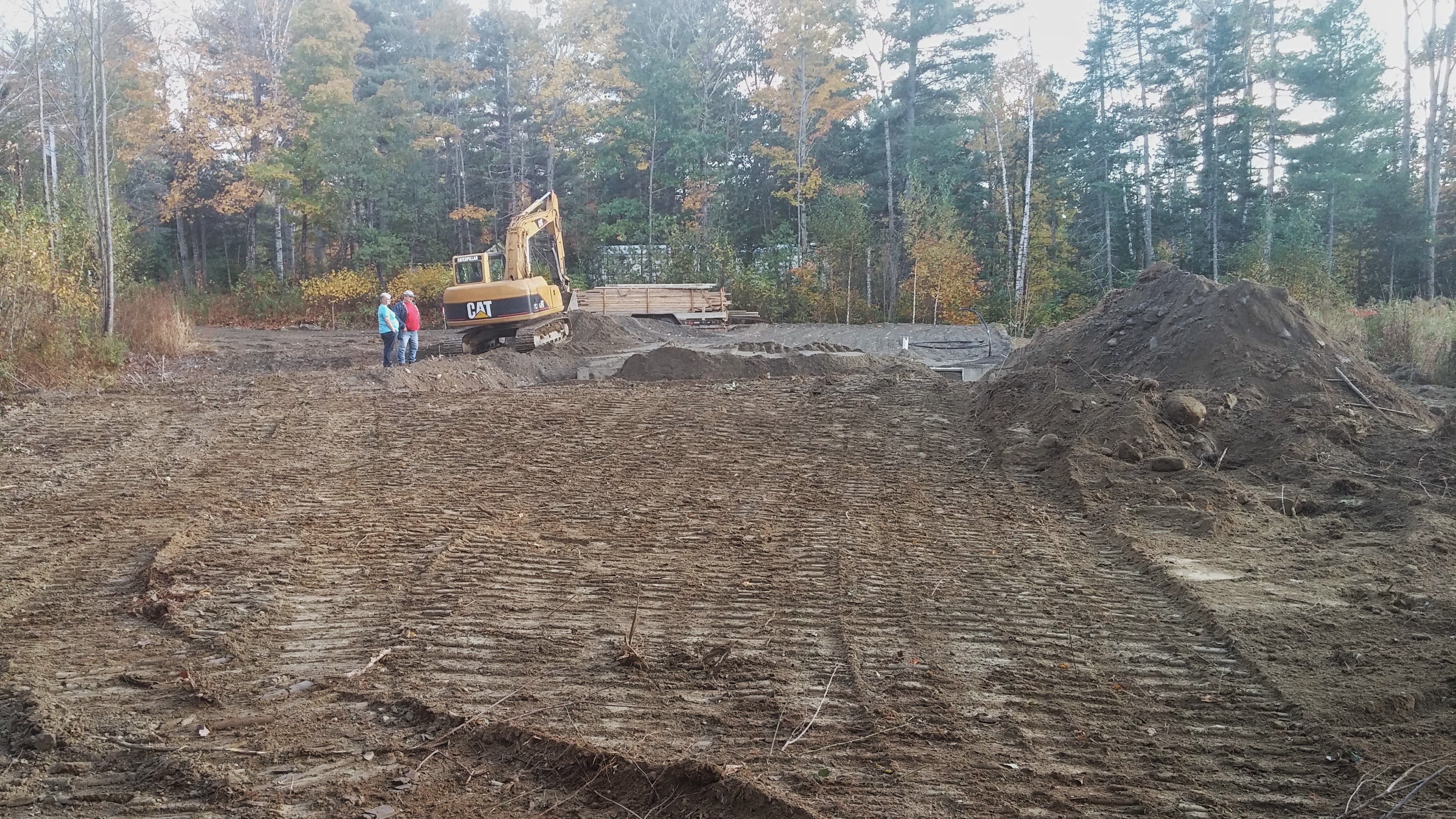
The stairs were delivered.

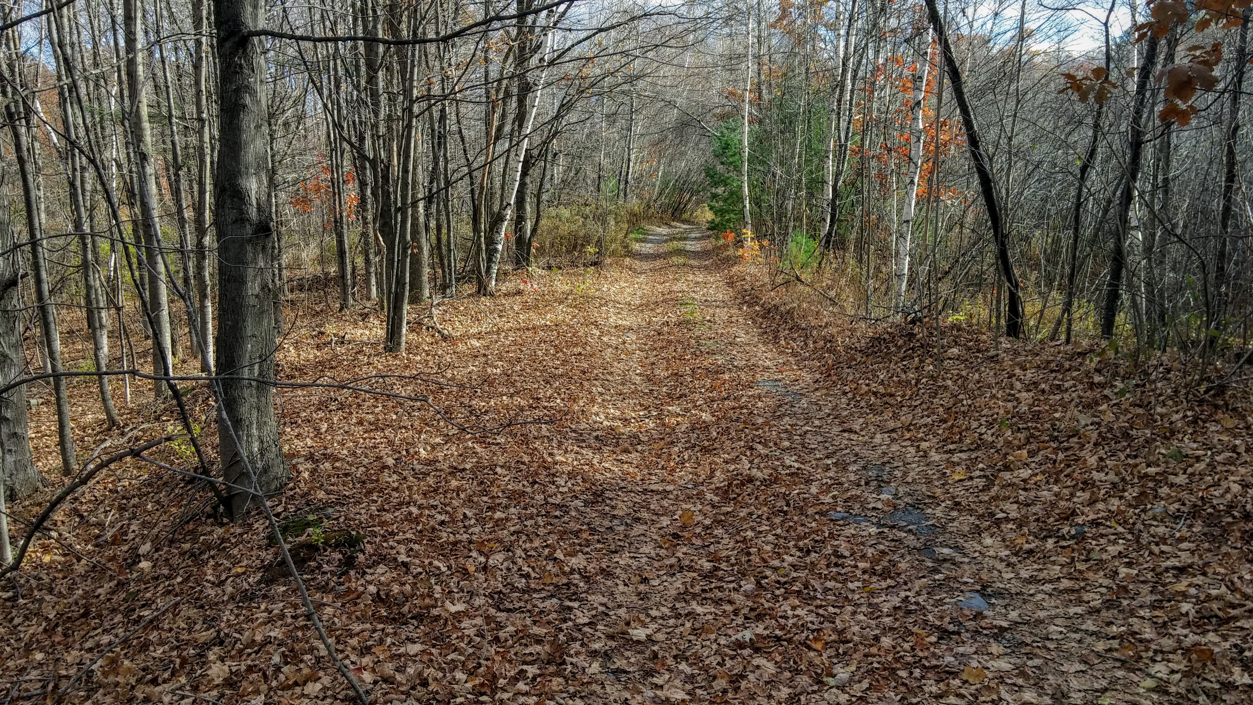
2015 11 04 USA ME Palmyra - walk through forest

Some pics of my landscapes

Some pics of my landscapes

Maine.

Sunset - HDR
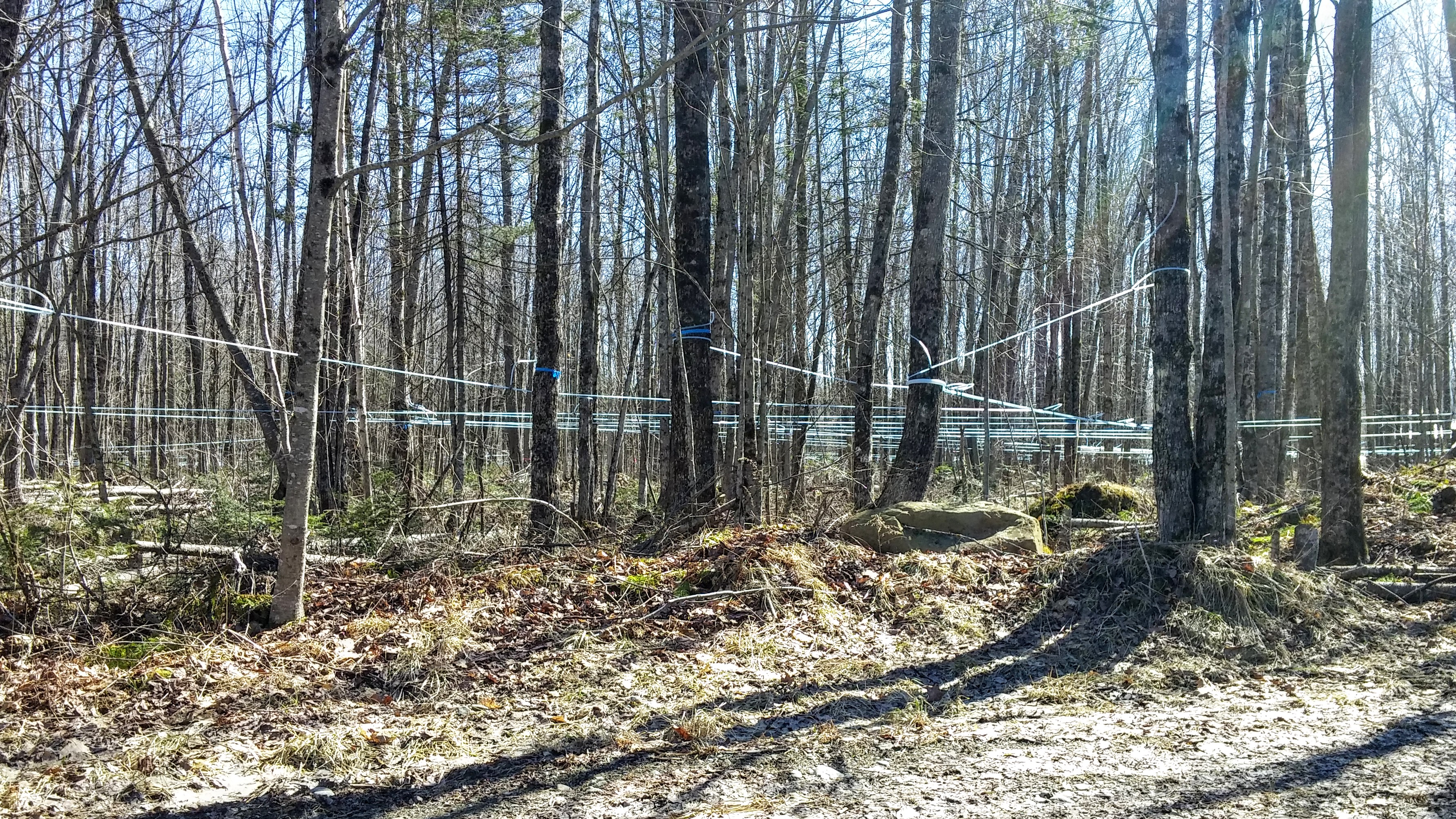
Maple Syrup 0320161319b

Waterfall in Maine
nice light at the edge of the woods
2015 11 02 USA ME Palmyra - out for a walk
2015 11 04 USA ME Palmyra - walk through forest
Topographic Map of Eastville Village Rd, Newport, ME, USA
Find elevation by address:

Places near Eastville Village Rd, Newport, ME, USA:
Newport
27 Old Bangor Rd
Newport
22 Stetson Rd, Newport, ME, USA
Oxbow Rd, Palmyra, ME, USA
797 Me-100
Woodpecker Avenue
177 Palmer Rd
Stetson Rd, Corinna, ME, USA
Corinna
339 Nokomis Rd
Palmyra
38 Brown Rd
10 Pleasant Vale Rd, Corinna, ME, USA
71 Brown Rd
500 Greenbush Rd
236 Madawaska Rd
265 Me-69
265 Me-69
Waverly Ave, Pittsfield, ME, USA
Recent Searches:
- Elevation of Tenjo, Cundinamarca, Colombia
- Elevation of Côte-des-Neiges, Montreal, QC H4A 3J6, Canada
- Elevation of Bobcat Dr, Helena, MT, USA
- Elevation of Zu den Ihlowbergen, Althüttendorf, Germany
- Elevation of Badaber, Peshawar, Khyber Pakhtunkhwa, Pakistan
- Elevation of SE Heron Loop, Lincoln City, OR, USA
- Elevation of Slanický ostrov, 01 Námestovo, Slovakia
- Elevation of Spaceport America, Co Rd A, Truth or Consequences, NM, USA
- Elevation of Warwick, RI, USA
- Elevation of Fern Rd, Whitmore, CA, USA