Elevation of East Side Capistrano, Oceanside, CA, USA
Location: United States > California > San Diego County > Oceanside >
Longitude: -117.37046
Latitude: 33.2099343
Elevation: 46m / 151feet
Barometric Pressure: 101KPa
Elevation Map:
Satellite Map:
Related Photos:

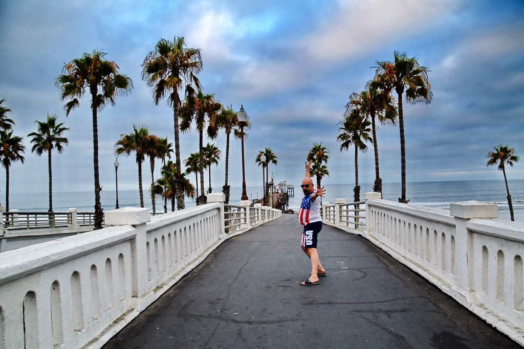
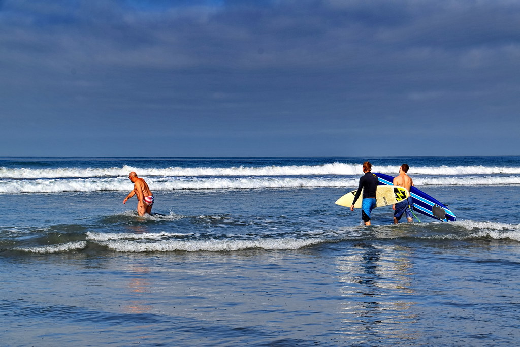
20170712 085051 1SL6

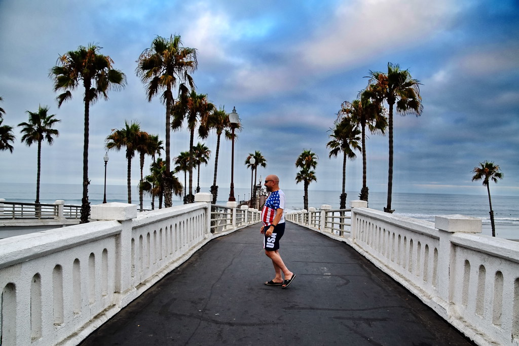
20170712 085043 1SL6

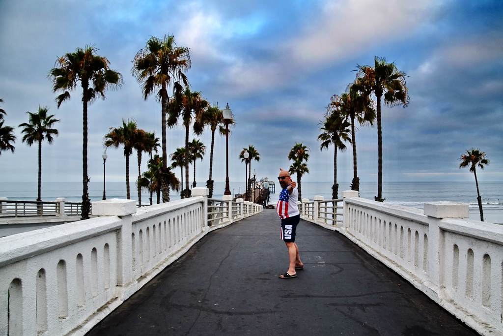
20170712 085049 1SL6
20170712 085240 1SL6

20170712 085052 1SL6
20170712 063521 1SL6

20170712 085224 1SL6
20170712 085221 1SL6

20170712 085058 1SL6
20170712 062943 1SL6
20170712 063124 1SL6

20170712 063335 1SL6
20170712 063126 1SL6

watching!

20170712 063115 1SL6
20170712 063125 1SL6
20170712 063534 1SL6

20170712 063128 1SL6

20170712 064426 1SL6

20170712 085219 1SL6
20170712 085312 1SL6

Whattup!
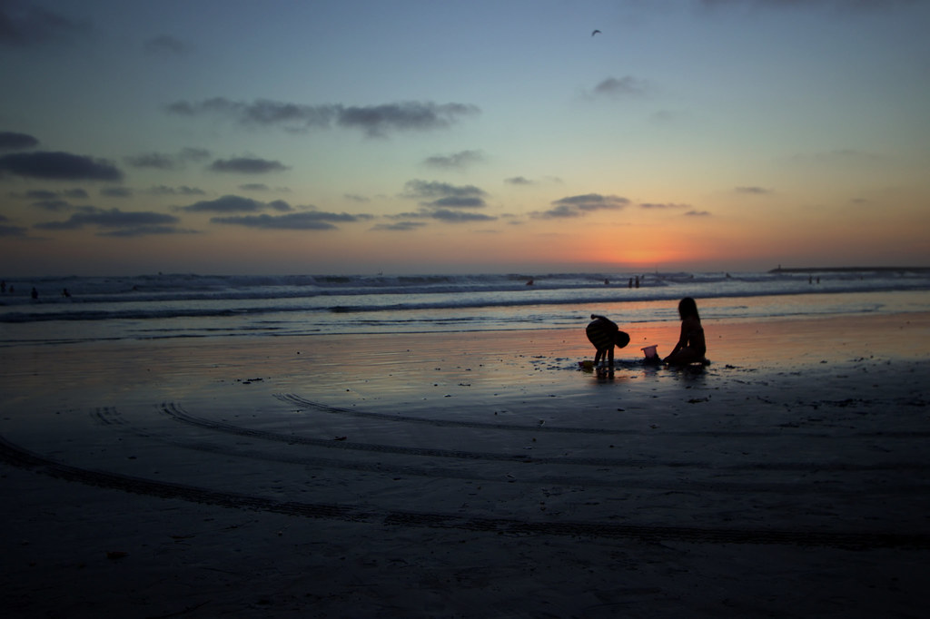
Sand Game too Fun
Oceanside 139

Cassidy St
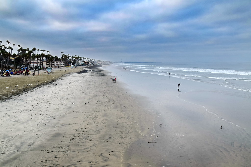
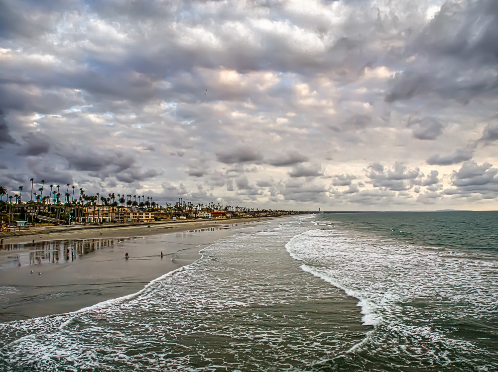
Morning walk on Carlsbad State Beach
104ViewsFromTheOffice2016Apr26-Pano.jpg

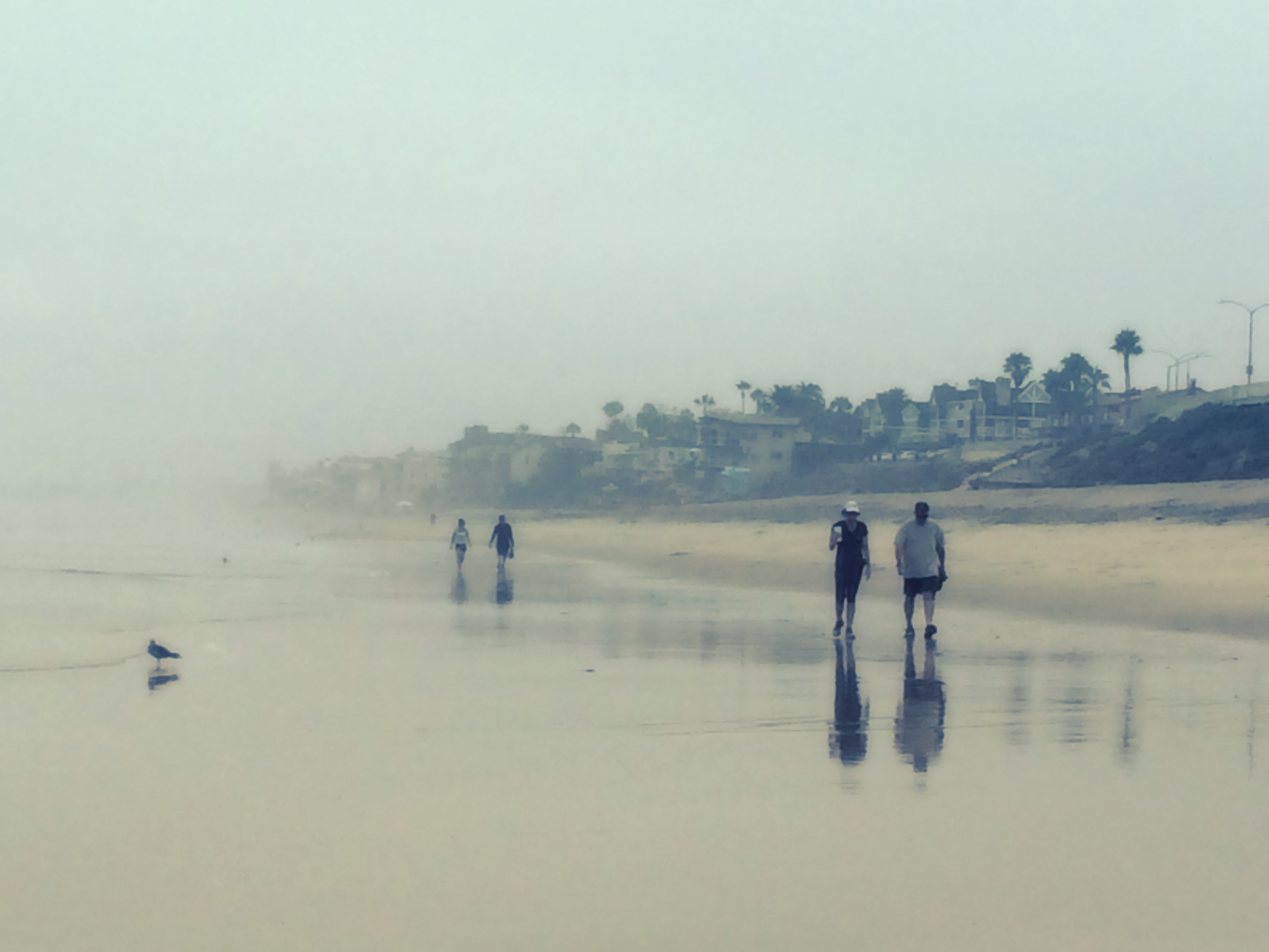
Oceanside 107
Motley Flinders
Topographic Map of East Side Capistrano, Oceanside, CA, USA
Find elevation by address:

Places near East Side Capistrano, Oceanside, CA, USA:
450 Stoney Point Way
400 Stoney Point Way
350 Isthmus Way
Crestline Drive
401 Jones Rd
214 S Ditmar St
Goat Hill Park
506 Canyon Dr
Townsite
637 Rockledge St
Loma Alta
Buddy Todd Park
1639 Mountain View Ave
798 S The Strand
1129 S Tremont St
933 S Pacific St
1133 S Tremont St
3307 Carolyn Cir
2717 Merlin Pl
S Coast Hwy, Oceanside, CA, USA
Recent Searches:
- Elevation of Congressional Dr, Stevensville, MD, USA
- Elevation of Bellview Rd, McLean, VA, USA
- Elevation of Stage Island Rd, Chatham, MA, USA
- Elevation of Shibuya Scramble Crossing, 21 Udagawacho, Shibuya City, Tokyo -, Japan
- Elevation of Jadagoniai, Kaunas District Municipality, Lithuania
- Elevation of Pagonija rock, Kranto 7-oji g. 8"N, Kaunas, Lithuania
- Elevation of Co Rd 87, Jamestown, CO, USA
- Elevation of Tenjo, Cundinamarca, Colombia
- Elevation of Côte-des-Neiges, Montreal, QC H4A 3J6, Canada
- Elevation of Bobcat Dr, Helena, MT, USA