Elevation of East Richmond, Richmond, CA, USA

Location: United States > California > Contra Costa County > Richmond >

Longitude: -122.32067

Latitude: 37.9393089

Elevation: 61m / 200feet

Barometric Pressure: 101KPa

Elevation Map:

elevation map of East Richmond, Richmond, CA, USA

Satellite Map:

Satellite map of East Richmond, Richmond, CA, USA

Related Photos:

sanfrancisco bridge bay bravo geoff richmond mount quinn tamalpais geoffrey mywinners mywinner platinumphoto platinumphotographer
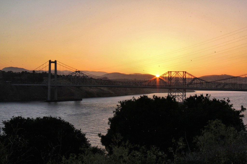
Bridge to Richmond-- the bridge
bw cemetery fog elcerrito sunsetviewcemetery fomapan100 minoltaautocord claytonf76 fixedshadows efo:site=1
She had an attitude that belied her place in society.
california winter color night dark oakland nikon highway view traffic over january eastbay piedmont alamedacounty d800 580 2015 lightstream macarthurmaze
macarther transitions
sanfrancisco california usa united unitedstates america bay baybridge bridge sunset sky skyline states skyblue sun water evening exposure expo epic reflection red reflecting travel trip amazing urban us island treasureisland awesome daylight day skyred city cityscape longexpo longexposure clouds view canon canon60d night bestshot beautiful blue nature nightlight ngc nationalgeographic natgeo national horizon holidays great goldenstate gold friends free freedom famouse downtown dark dream district architecture art alcatraz westcoast west real town landscape la
Bay Bridge on sunset
sanfrancisco california bridge night bay rocks downtown raw cityscape treasureisland clear hdr darkblue photomatix fav100 1xp nex6 selp1650
Lost at night
sanfrancisco art view panoramic painter oilpainting argusc44 fuji4791
San Francisco Bay
california sunset misty fog skyline night photography bay twilight nikon marine san francisco postcard bridges romance layer d90 mattgranz
The City in the Mists
sanfrancisco california longexposure landscape cityscape baybridge bayarea bluehour publish d600 landscapephotography wonderfulworld baylights
Ready for Fall
bay area bayarea sf sanfran san francisco sanfrancisco baybridge bridge oaklandsanfranciscobaybridge traffic lanes lights traffictrails lighttrails landmark icon iconic majestic skyline sfskyline downtown cali california usa urban cityscape cloud clouds cloudscape yerbabuenaisland treasureisland view vantagepoint
Oakland San Francisco Bay Bridge
road street bridge usa car america us highway strada unitedstates ponte freeway automobili statiuniti andreamoscato
Bay Bridge - San Francisco, California
ocean sanfrancisco california city longexposure trip travel bridge sea wild vacation sky nature beautiful clouds canon landscape island photography lights bay site rocks waves cityscape treasure treasureisland pacific crash outdoor tripod rustic scenic illumination wave visit scene hike cliffs trail filter baybridge wilderness rugged illuminate manfrotto 2010 giotto cablerelease 1635mm singhray 5dmkii jaredropelato ropelatophotography
Anchoring the Bay Bridge
sanfrancisco california ca sunshine northerncalifornia nikon ruins prison bayarea alcatraz vee lightrays kevinmacleod d800e nikond800e unrangedcom
Alcatraz Light
shadow sunlight macro grass weed dof bokeh dry explore explored mygearandme mygearandmepremium mygearandmebronze flickrexplorejune142012
Dry Grass (Explore June 14 2012)
square squareformat iphoneography instagramapp uploaded:by=instagram foursquare:venue=4c7d93bf724976b08b8ea20a
Rodeo view
california winter panorama motion color night dark oakland evening march nikon highway ramp view traffic over large overpass panoramic bayarea 24 rushhour eastbay stitched alamedacounty interchange d800 mosswood 580 2015 lightstream 980 boury pbo31
inside the loop
sanfrancisco california city longexposure morning bridge usa skyline island lights bay early treasure treasureisland nightshot fav50 earlymorning baybridge g1 geotag 2010 scurve fav10 1445mm fav25 fav100 fav200 fav150 flvonmirikr invisiblecirkussf2010 f64g24champ f64g24r5win top102010
Bay Bridge
grass wind erba gras pampasgrass pampas herbe hierba cortaderiaselloana
Pampas tendrils in the wind
explore
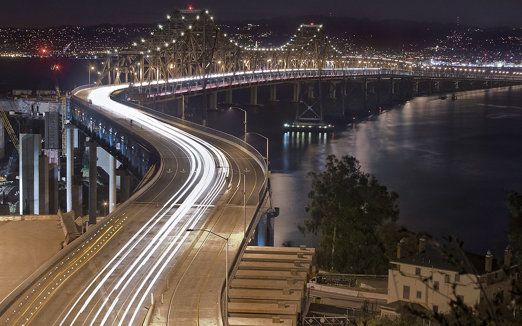
The Bay Bridge's Notorious S-Curve
chinacampstatepark superaplus aplusphoto artofimages bestcapturesaoi elitegalleryaoi
Lone Tree Island
california usa cemetery america delete2 oakland unitedstates fav50 10 unitedstatesofamerica save3 delete3 save7 save8 delete delete4 save save2 fav20 holly save9 save4 eastbay save5 save10 save6 fav30 mountainviewcemetery savedbythedeletemeuncensoredgroup fav10 fav25 fav100 fav200 fav300 fav40 fav60 fav90 fav80 fav70 superfave
Life Before Death
sanfrancisco california city sunset sky urban storm black color reflection rain skyline night dark oakland bay nikon december view over baybridge bayarea vista eastbay 80 alamedacounty d800 portofoakland 2014
zeus finally returns to the left coast
instagramapp square squareformat iphoneography uploaded:by=instagram lofi california san francisco grizzly peak
San Francisco from Grizzly Peak Road
california morning usa mist nature fog sunrise outdoors dawn oakland interestingness interesting hiking nopeople hike hills explore valley redwood fp frontpage huckleberry sibley ebrpd lastrampas explored sibleyvolcanicregionalpreserve efs1755mmf28isusm onearthnrdc ebparksok lifelover4 stickneydesign
Another Sibley Sunrise
california ca morning urban sunrise landscape oakland bay berkeley san francisco day cityscape view sunny hills clear area vista norcal northern development
Morning Over the City By The Bay
california usa mist nature fog canon landscape outdoors oakland islands interestingness interesting hiking hike explore mtdiablo fp frontpage circularpolarizer sibley ebrpd lastrampas explored 550d efs1755mmf28isusm t2i onearthnrdc ebparksok lifelover4 stickneydesign californiatnc11
Mt. Diablo & Las Trampas Vista
After ...
zampa carquinezstrait alzampamemorialbridge alzampamemorialvistapoint
Sunrise at the bridges
california oakland robertsibleyvolcanicpreserve ancient volcanic lava
Ancient Volcanic Lava
green water grass sunshine campus berkeley bokeh explore dew 2008 ucberkeley 50mmf18 sooc 2008yip yesthetungstenwasamistake
To find yourself, open yourself wide as the sky (300/366)
california park ca usa mist nature forest canon outdoors oakland bay interestingness interesting hiking stock hike explore bayarea laurel circularpolarizer huckleberry ebrpd bayarearidgetrail westernswordfern explored baylaurel umbellulariacalifornica canyonliveoak efs1755mmf28isusm skylinenationaltrail ebparksok lifelover4 stickneydesign californiatnc11 ocvbphoto2011
Enchanted Forest
california longexposure heron yup sanrafael chinacampstatepark nlwirth
Great Blue Heron
instagramapp square squareformat iphoneography uploaded:by=instagram
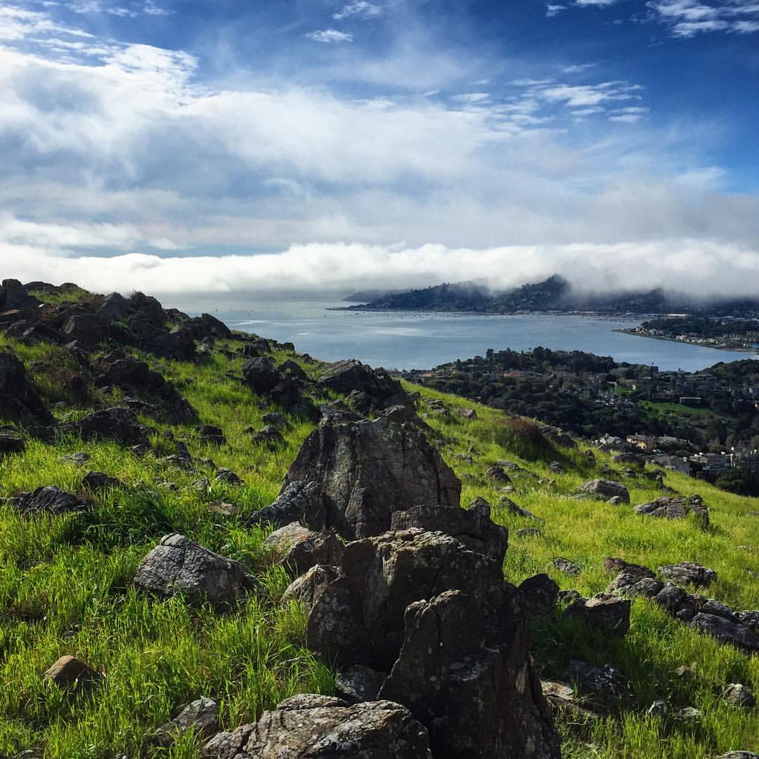
“Energy rightly applied and directed will accomplish anything.” ― Nellie Bly Morning fog over Sausalito and Richardson Bay, as seen from Ring Mountain.
sanfrancisco california city blue sunset sky usa skyline clouds cityscape dusk bayarea sanfran alcatraz citybythebay
From Alcatraz
california usa pier unitedstates fav50 marin unitedstatesofamerica marincounty sanrafael chinacamp fav10 fav25 chinacampstatepark fav100 sliceoftimesf
Stands Alone
california usa pier unitedstates fav50 10 marin unitedstatesofamerica fav20 marincounty sanrafael fav30 chinacamp fav10 fav25 chinacampstatepark fav40 fav60 fav90 fav80 fav70 superfave sliceoftimesf
Stands Alone
square sierra squareformat iphoneography instagramapp uploaded:by=instagram foursquare:venue=4c61637acd522d7ffc5ad03f
#alcatraz #sanfrancisco #goldengate #bayarea
california oakland robertsibleyvolcanicpreserve labyrinth 3
Labyrinth #3
california wood trees nature fog forest landscape hike eastbay tildenpark berkeleyhills iphone northerncalifonia peacefulplace 2013 eastbayregionalparks kanerphotography ebparksok snapseed redwoodsredwoodgrove
Forest Dream
Summer Breeze
baxtercreek fantasy art artsy dream dreamy psychedelic el cerrto calif ca scenery nature trees brambles landscape eos60d 60d canoneos60d canon eos wdbones99
Dreamy scenes from Baxter Creek.