Elevation of East Hawkesbury, ON, Canada

Location: Canada > Ontario > Prescott And Russell United Counties >

Longitude: -74.478027

Latitude: 45.5104445

Elevation: 59m / 194feet

Barometric Pressure: 101KPa

Elevation Map:

elevation map of East Hawkesbury, ON, Canada

Satellite Map:

Satellite map of East Hawkesbury, ON, Canada

Related Photos:

square squareformat iphoneography instagramapp uploaded:by=instagram
Lunch with a view part 2
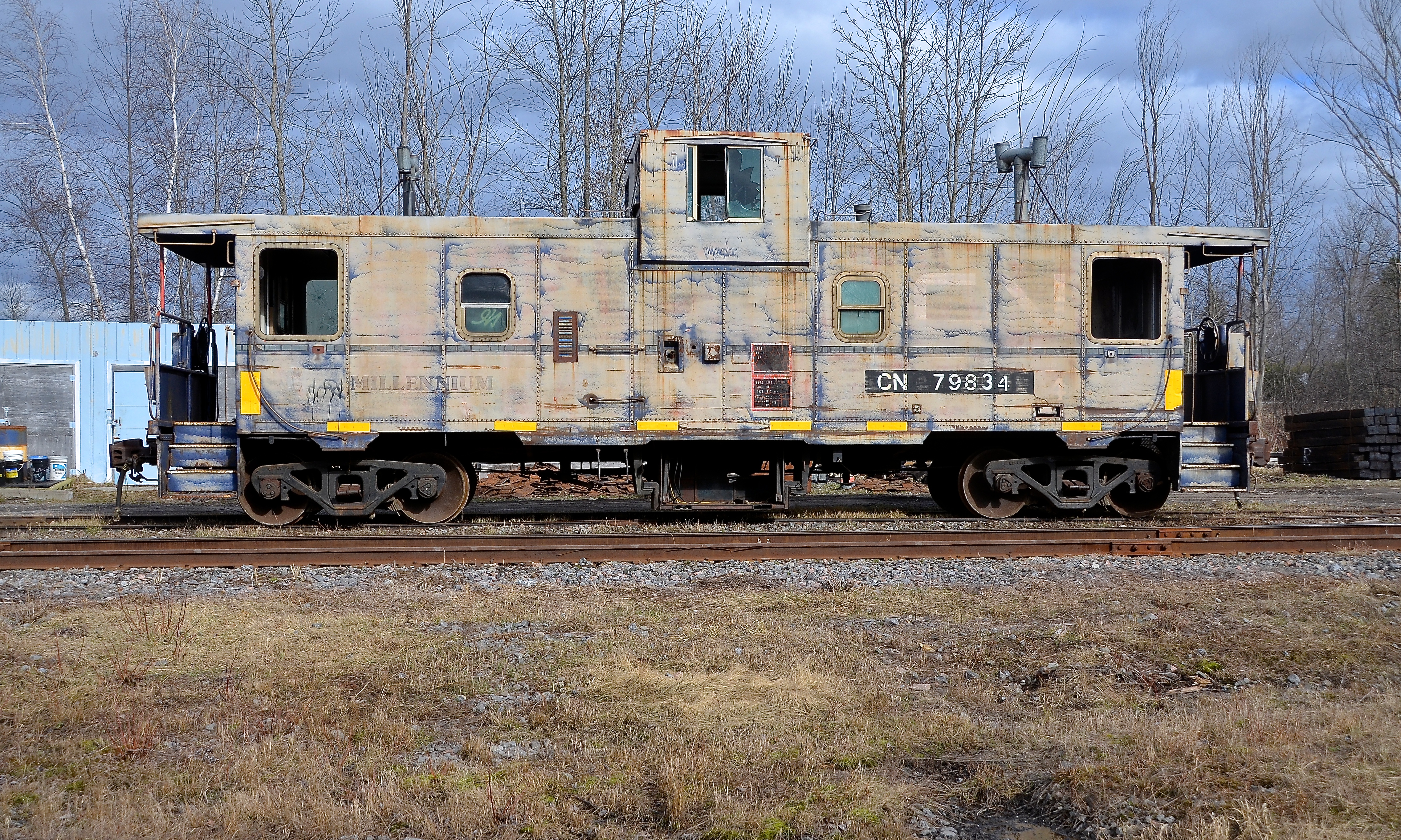
ontario cn caboose van canadiannational vankleekhill vankleekspur cn79834
Broadside view
church église saintandrédargenteuil pl29juil11
pl29juil11christchurch2 copy
church église saintandrédargenteuil pl29juil11
pl29juil11standrew2 copy
ontario hdr campsite voyageur voyageurprovincialpark
Around Our Site
church église carillon pl29juil11
pl29juil11stjoseph1 copy
geotagged geolat454584199755385 geolon743334272425883
DSC_1814.JPG
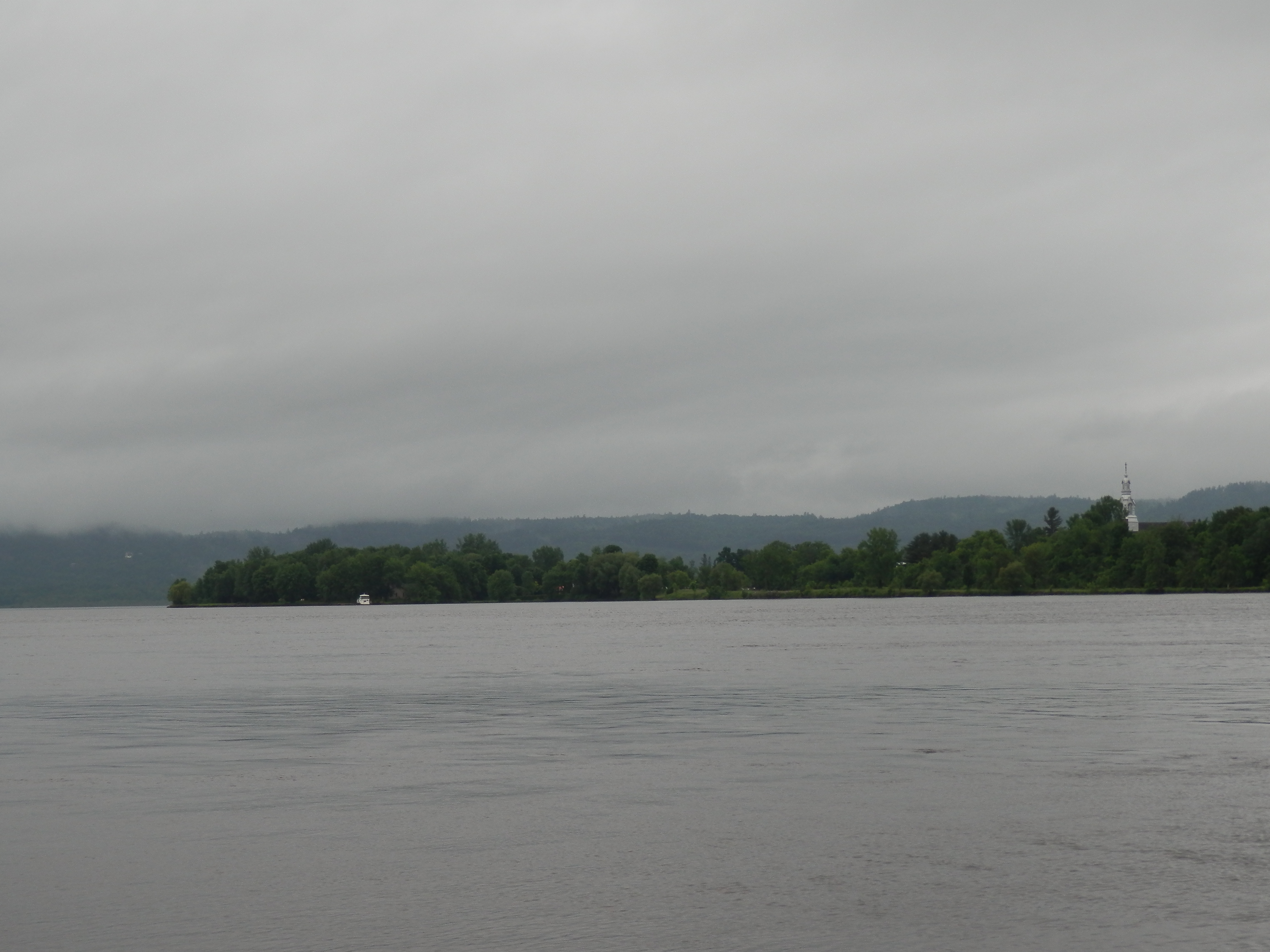
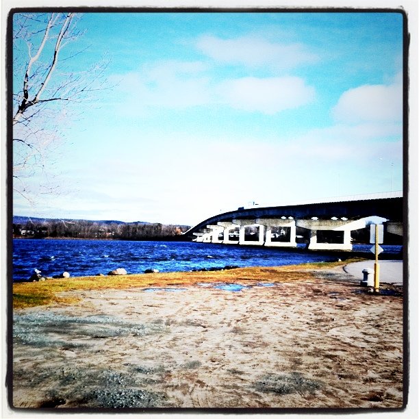
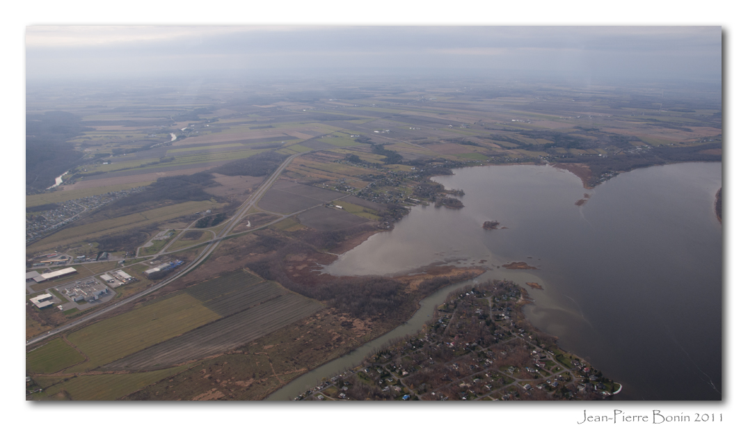
View from Hawkesbury of Quebec
canada church river québec ottawariver laurentides grenville rivièredesoutaouais fabriquenotredamedesseptdouleurschurch
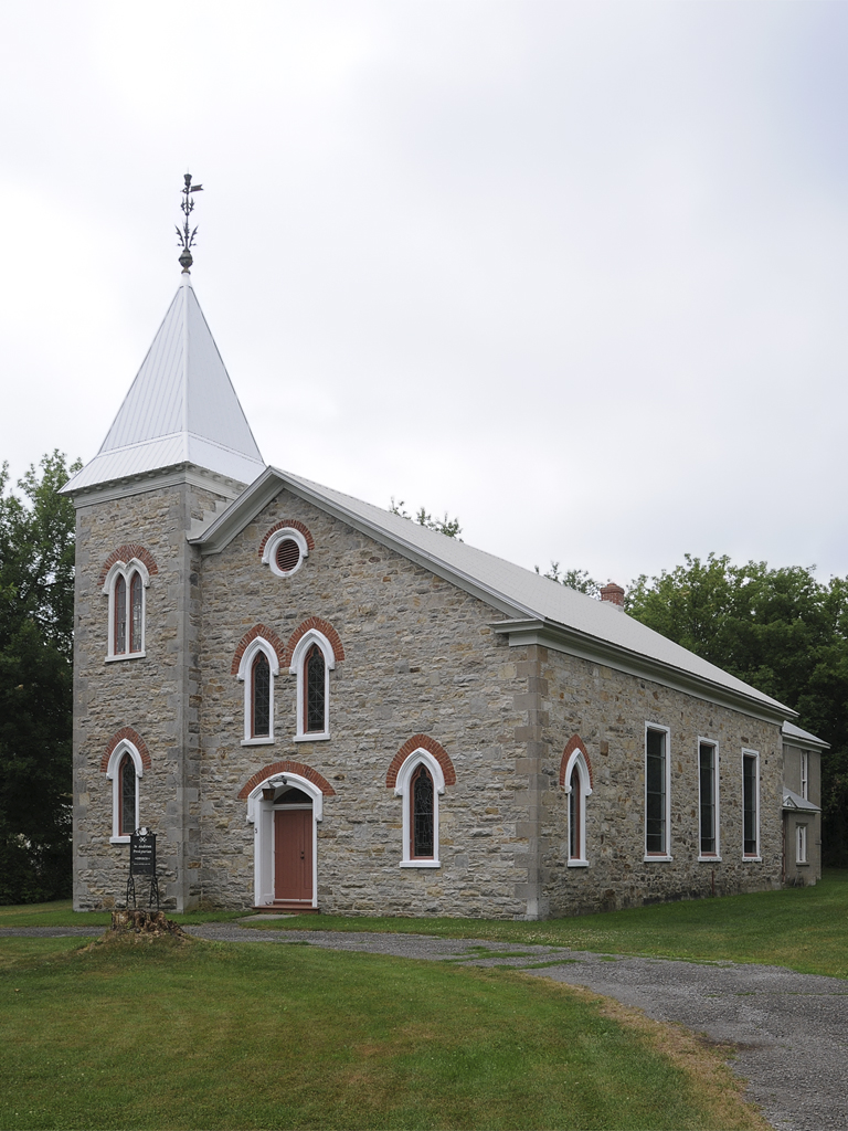
Church spire out of the trees
road camera city sunset summer sky sun white snow ontario canada storm mountains hot macro slr nature beautiful clouds sunrise canon airplane photography eos rebel dawn landscapes scenery driving skies view dusk britishcolumbia exploring ottawa jets jet trails windy stormy views heat gatineau cottoncandy imagination thunderstorm setting majestic birdseyeview mothernature cloudporn chemtrails cloudscapes t3i upupandaway ontheroadagain clearbluesky intheclouds redskyatnightsailorsdelight iphone5 redskyinthemorningsailorswarning follow4follow earthporn like4like
Clouds, Skies, Sunsets.
canada canadaday patriotism itsawonderfulworld captureasummer
canada flag
quote bubbles bubble captureasummer
the world as a bubble
canada sign photoshop canon eos quebec 5d curve rigaud lightroom canoneos5d canonef24105mmf4lisusm
Curve ahead
gaby edited bubbles bubble
bubble trouble
trees silhouette bluehour sooc aubergedesgallant x100s 2152015 image48215 215in2015
Blue hour, maple sugar edition | 48/215
big tree...
square squareformat walden iphoneography instagramapp uploaded:by=instagram foursquare:venue=4f46c59be4b01d17b7d855a5
50 East
square squareformat iphoneography instagramapp uploaded:by=instagram
#vscocam #camping
skyline square squareformat iphoneography instagramapp uploaded:by=instagram
into the storm #clouds #????
Beautiful day in November
square squareformat iphoneography instagramapp uploaded:by=instagram
#VSCOcam
clouds day214 vankleekhill project365 eosm day214365 3652013 365the2013edition 02aug13
The end of the road || 214/365
square squareformat iphoneography instagramapp uploaded:by=instagram
#VSCOcam
square squareformat iphoneography instagramapp uploaded:by=instagram
#VSCOcam
square squareformat iphoneography instagramapp uploaded:by=instagram foursquare:venue=4c812eb4e602b1f7dd3f907a
Wayward Sky #selfportrait #gorillapod
Moment présent
watercolor quebec aquarelle hydro encre stillman birn
Icône du paysage québécois :: Quebec Landscape Icon
Au travers
canada river rivière québec ottawariver laurentides grenville rivièredesoutaouais
Frozen Ottawa River
trees sky tree nature beautiful field standing canon landscape stand photo image outdoor mark farm wheat peaceful farmland photograph ii 5d markii canon5dmarkii bikesroads
Lonely Tree
photography photo photographie aviation air aerial aérienne rivesud rivenord
Lac des Deux-Montagnes, Rigaud, Rivière Rigaud, Bais des Jules, Baie de Rigaud, Île Rita
square squareformat iphoneography instagramapp uploaded:by=instagram
In The Field
Camera Roll-1997
park de photography photo airport photographie bradford 10 montreal aviation air sightseeing picture aerial route 28 vol circuit runway blvd rd touristic vta piste touristique principale villemarie aérienne richelieu aéroport 148 boul lachute cse4 aéroparc laéroparc
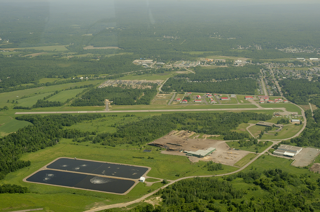
Aéroport de Lachute Airport CSE4 DSC_0901m