Elevation of East Fork Township, IL, USA
Location: United States > Illinois > Clinton County >
Longitude: -89.189643
Latitude: 38.7130735
Elevation: 145m / 476feet
Barometric Pressure: 100KPa
Elevation Map:
Satellite Map:
Related Photos:
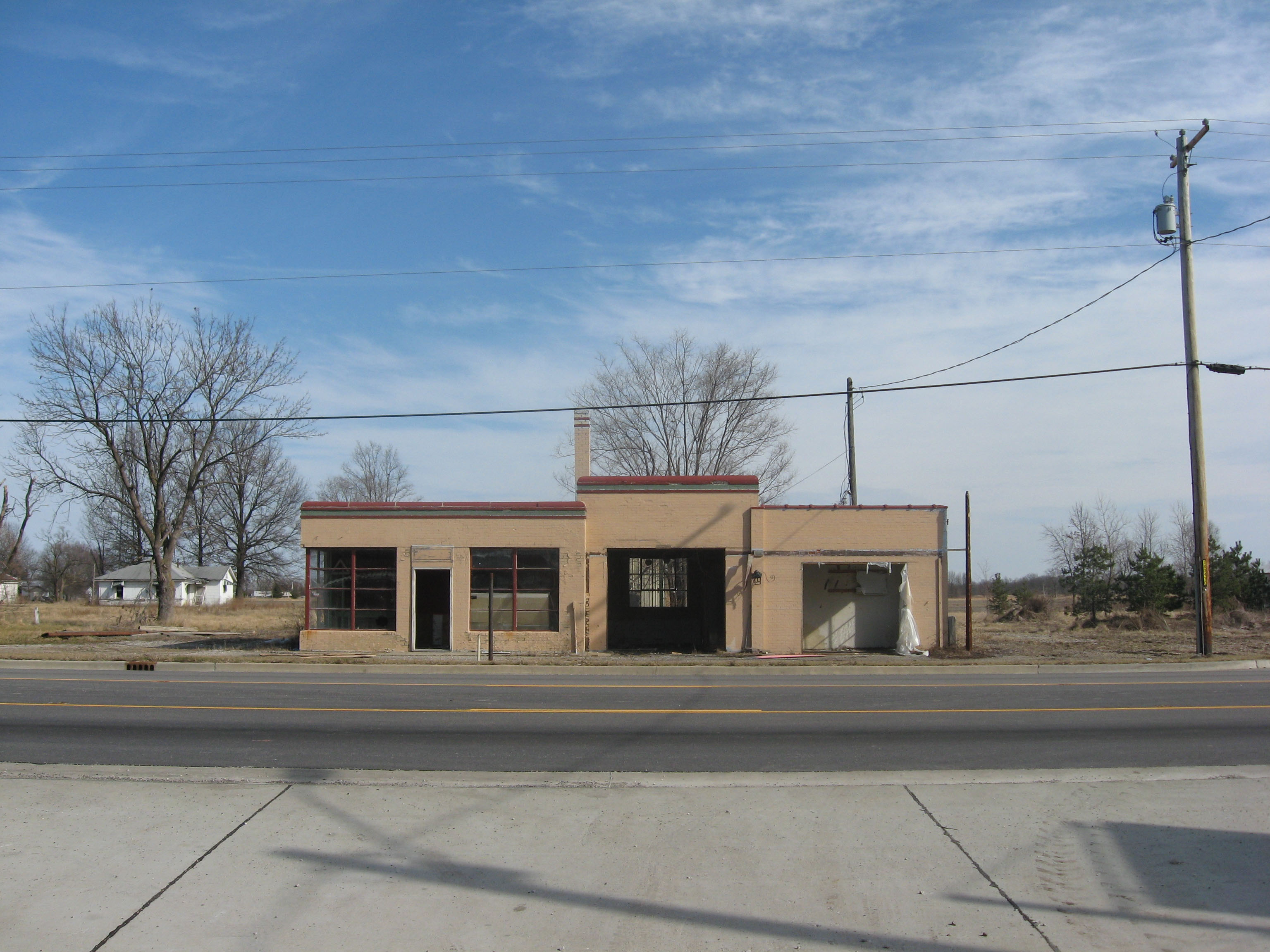
Old Shell station
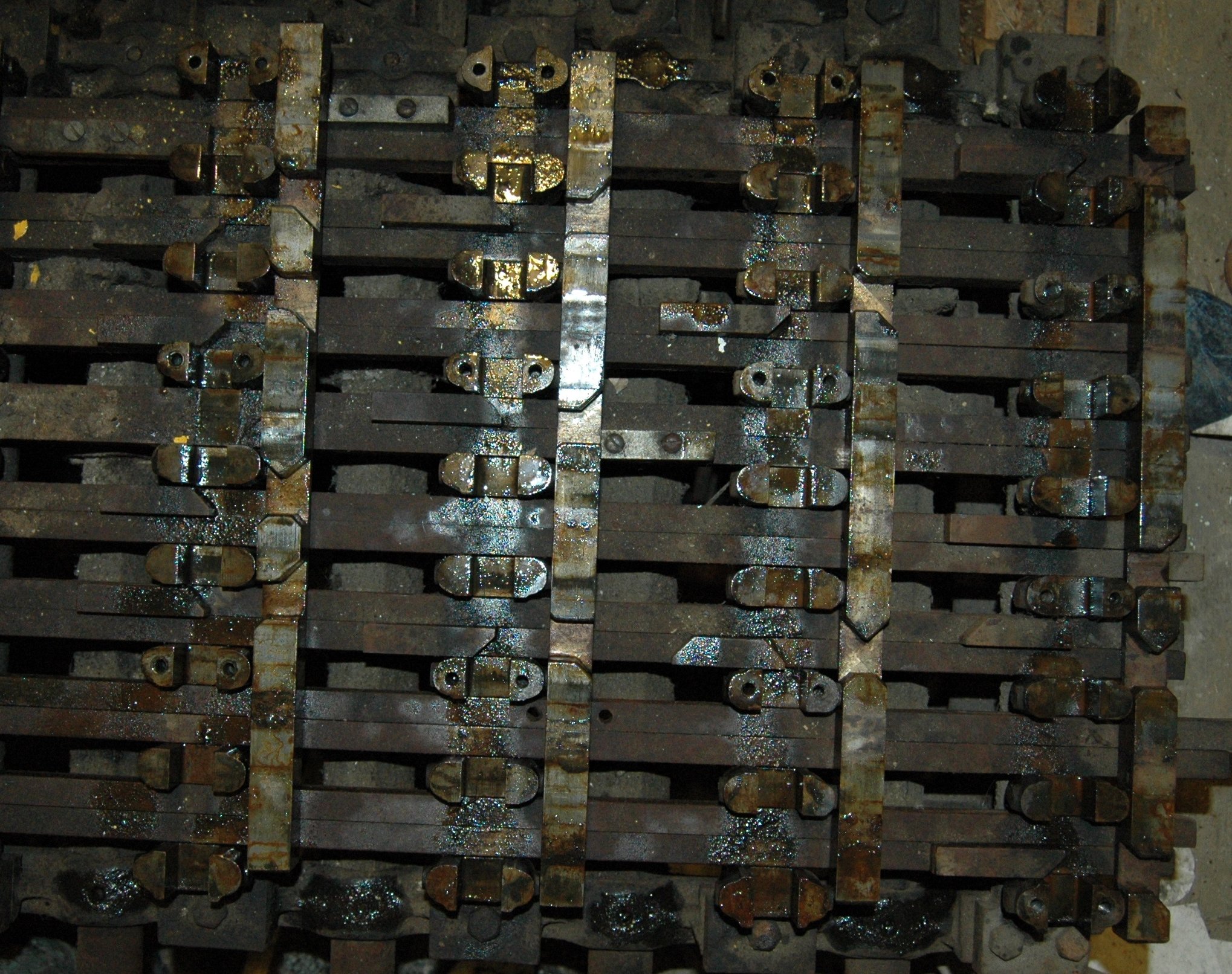
Cross Locking Bars and Locking Dogs.
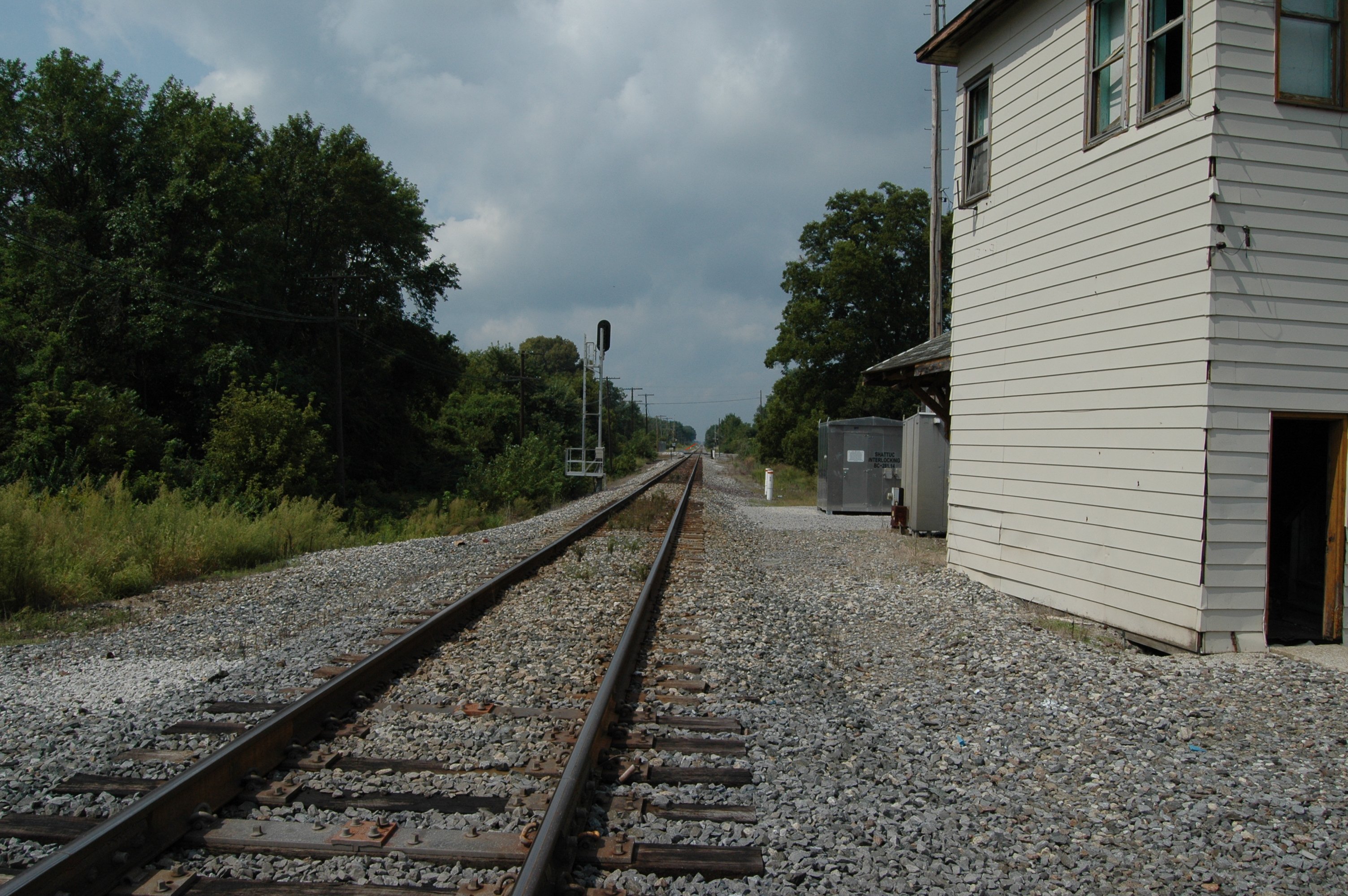
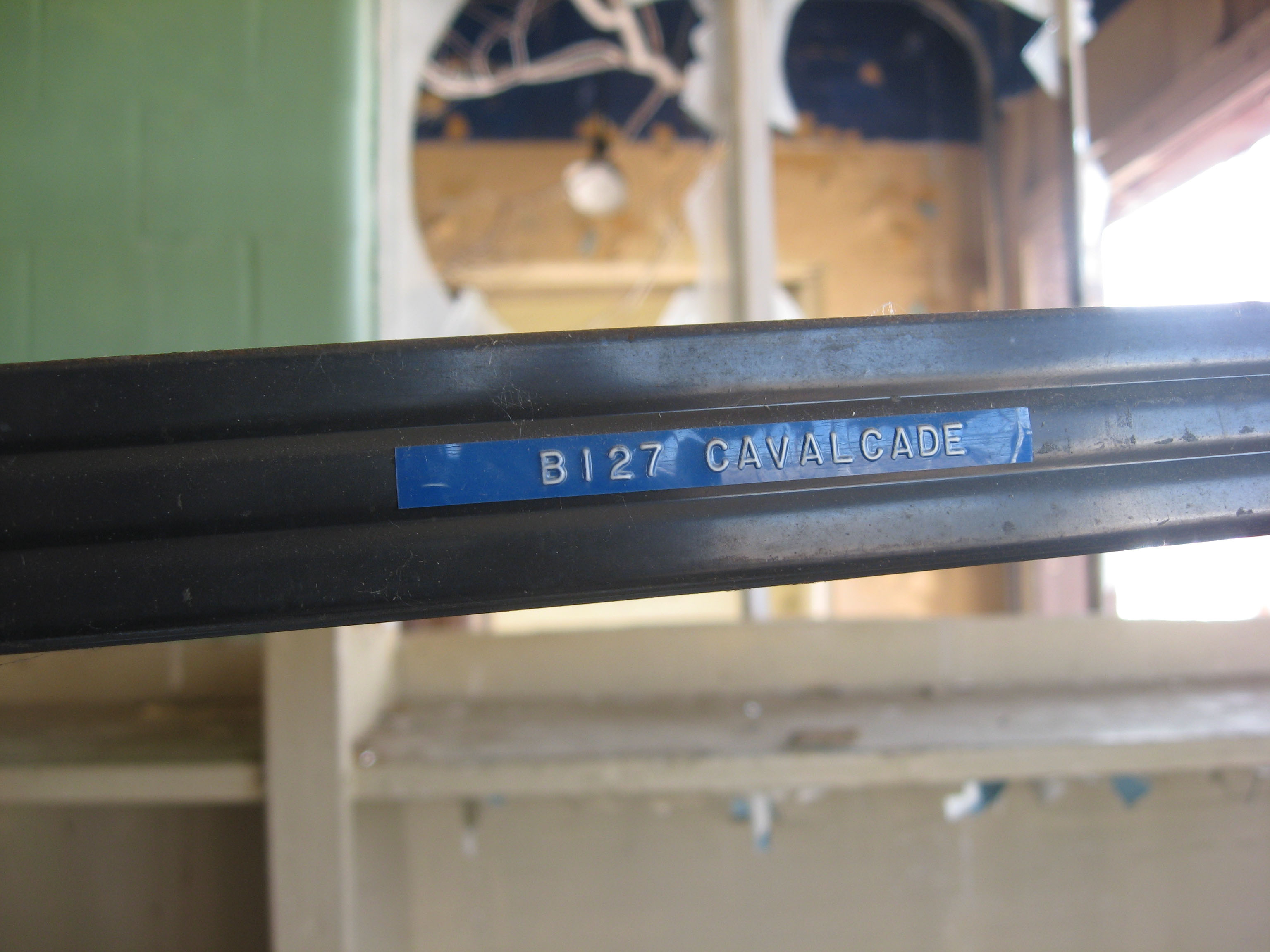
Looking West at the B&O Tracks
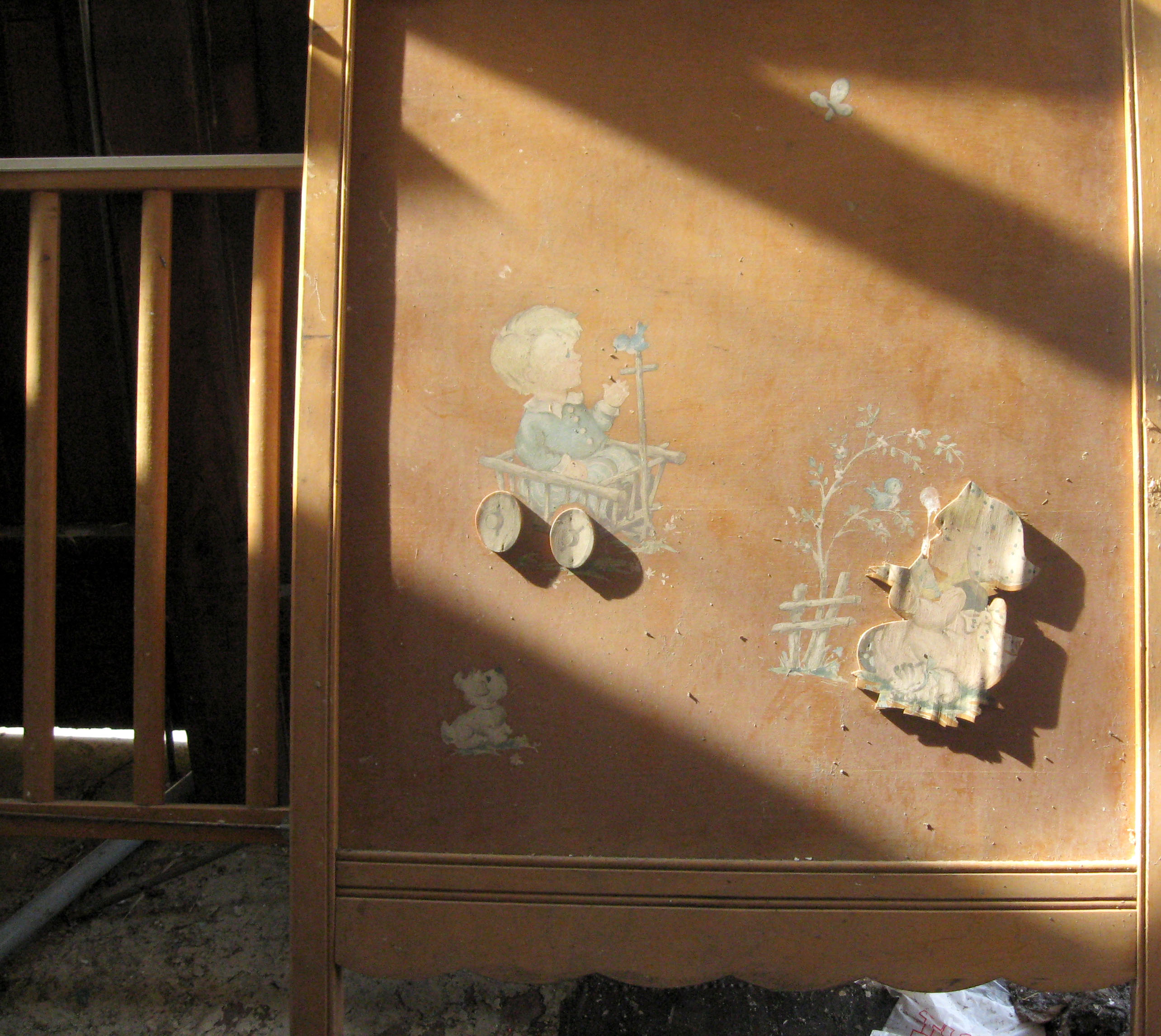
Crib in old Shell station
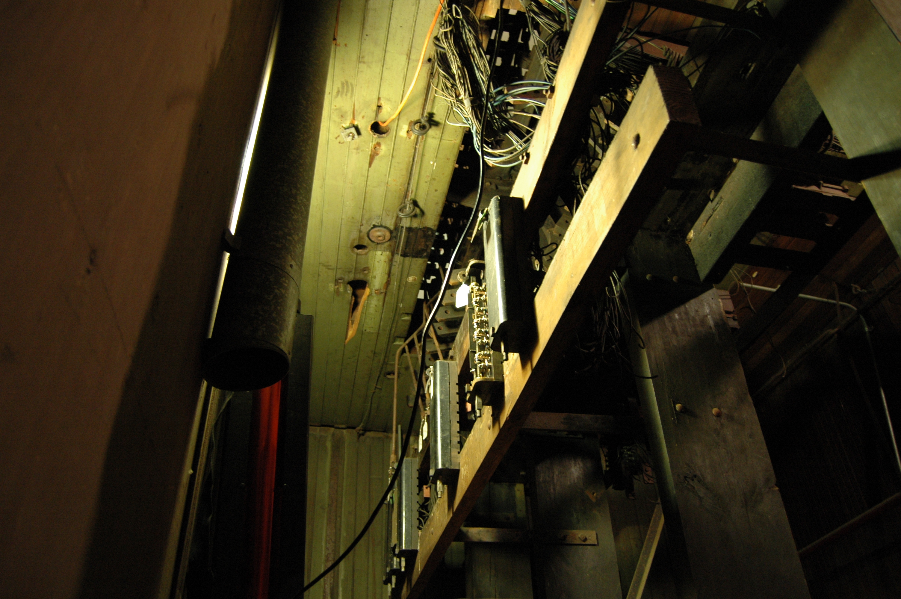
A brighter view of the circuit controllers.
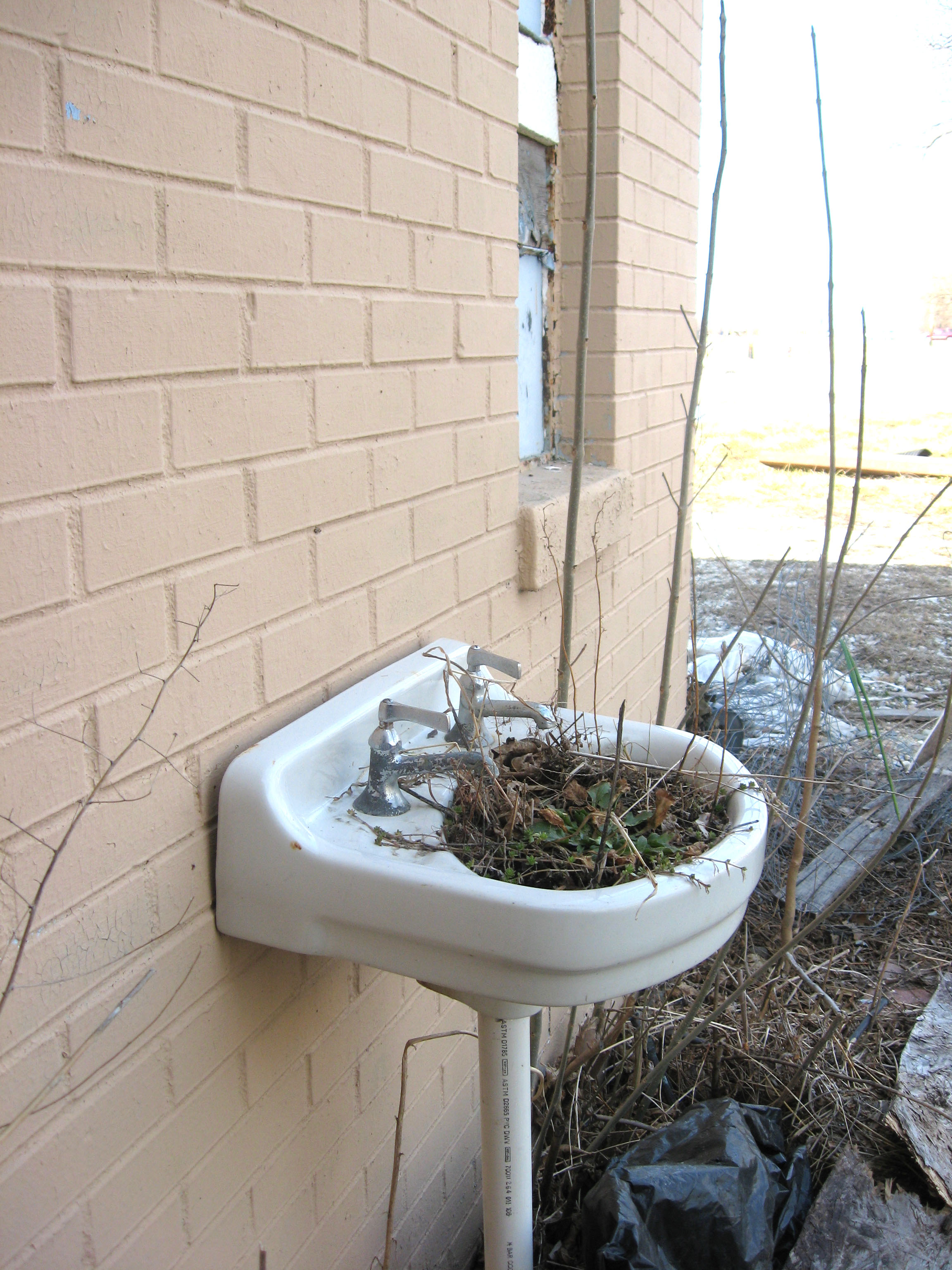
Old Shell station
In the old Shell station

White Flowers
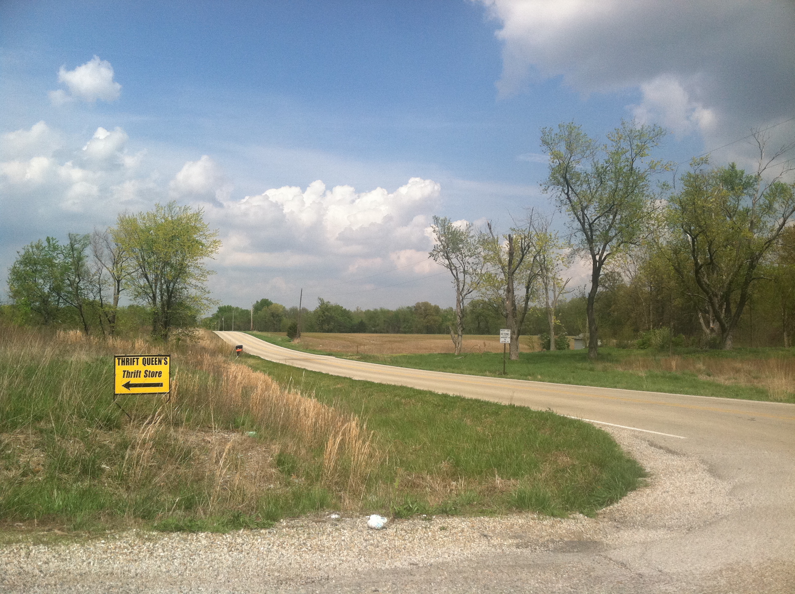
Thrift queen's thrift store
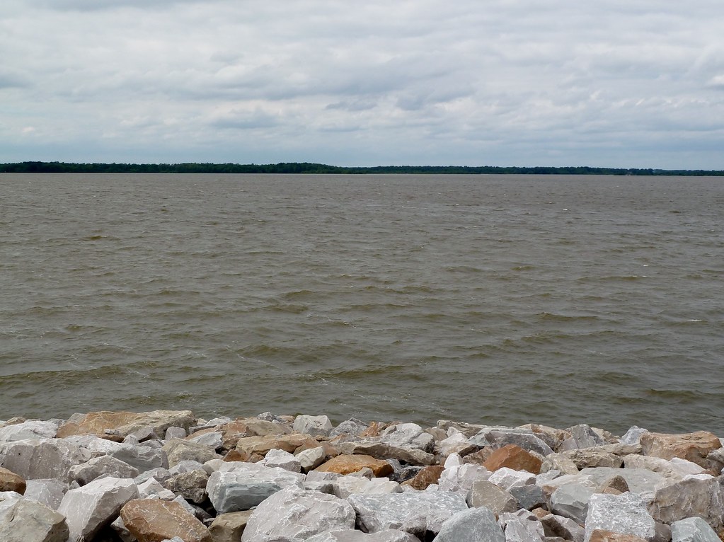
Carlyle Lake, Illinois
Topographic Map of East Fork Township, IL, USA
Find elevation by address:

Places in East Fork Township, IL, USA:
Places near East Fork Township, IL, USA:
Boulder Rd, Shattuc, IL, USA
14 County Rd 1100 N
Maple St, Carlyle, IL, USA
Po Box, Mascoutah, IL, USA
Irishtown Township
Clement Township
Sandoval Township
N Railroad St, Carlyle, IL, USA
Huey
Odin
Odin Township
Central City
Breese St, Centralia, IL, USA
Centralia
E 3rd St, Centralia, IL, USA
Fayette Road
Pleasant Mound Township
E Peach St, Centralia, IL, USA
Wamac
Mulberry Grove
Recent Searches:
- Elevation of Corso Fratelli Cairoli, 35, Macerata MC, Italy
- Elevation of Tallevast Rd, Sarasota, FL, USA
- Elevation of 4th St E, Sonoma, CA, USA
- Elevation of Black Hollow Rd, Pennsdale, PA, USA
- Elevation of Oakland Ave, Williamsport, PA, USA
- Elevation of Pedrógão Grande, Portugal
- Elevation of Klee Dr, Martinsburg, WV, USA
- Elevation of Via Roma, Pieranica CR, Italy
- Elevation of Tavkvetili Mountain, Georgia
- Elevation of Hartfords Bluff Cir, Mt Pleasant, SC, USA