Elevation of East Burke, Burke, VT, USA
Location: United States > Vermont > Caledonia County > Burke >
Longitude: -71.940455
Latitude: 44.589071
Elevation: 268m / 879feet
Barometric Pressure: 98KPa
Elevation Map:
Satellite Map:
Related Photos:

Kingdom Trails, Vermont - Mountain Biking

Looking Out the Barn Window

Mountain View Inn Barn
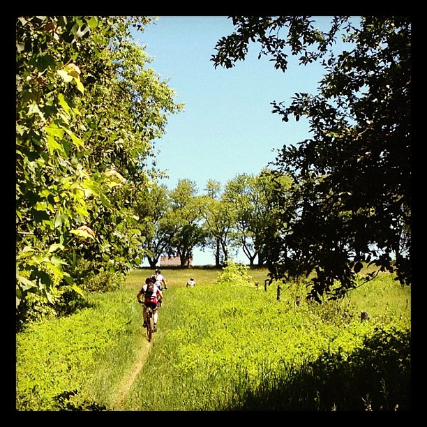
Riding the trails
View from the chapel
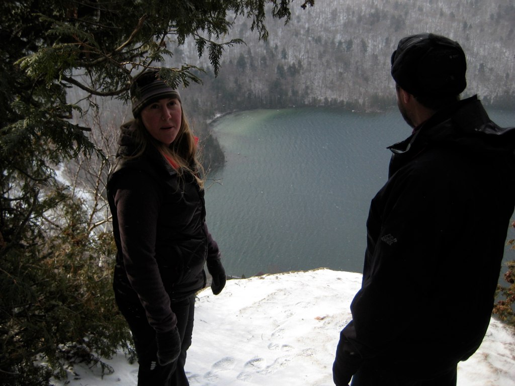
Lake view

Lake view

Lake view
A Gap
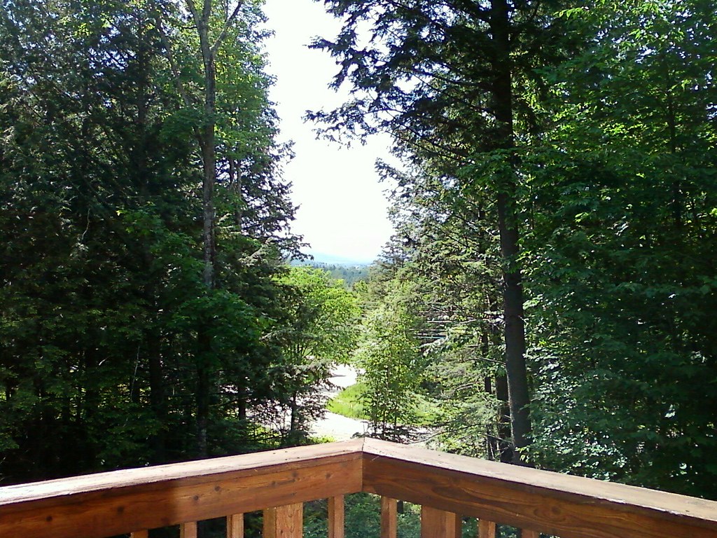
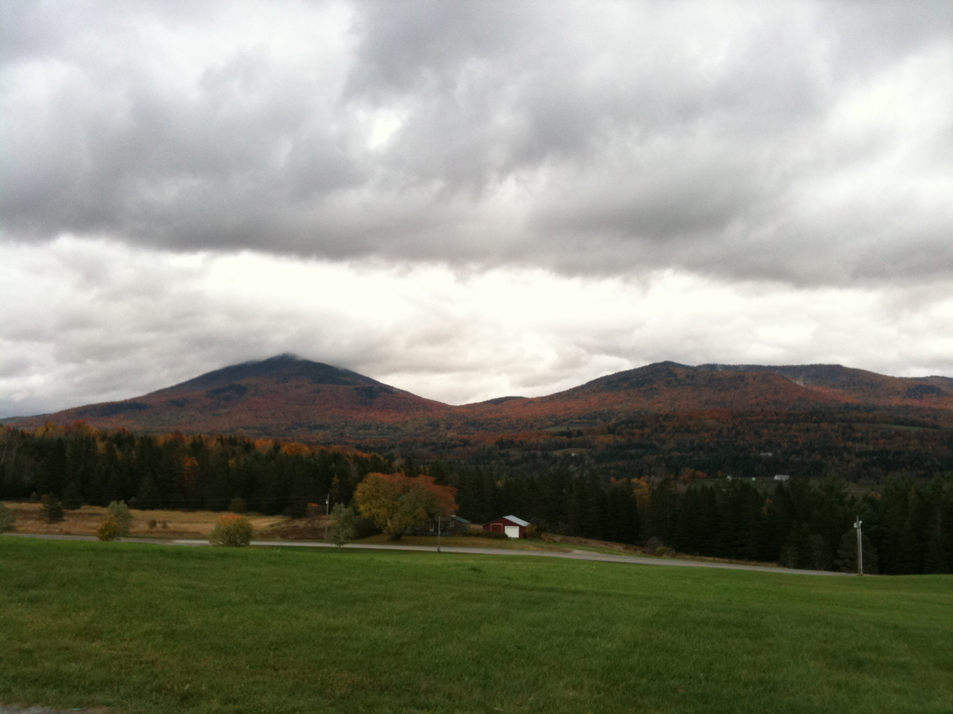
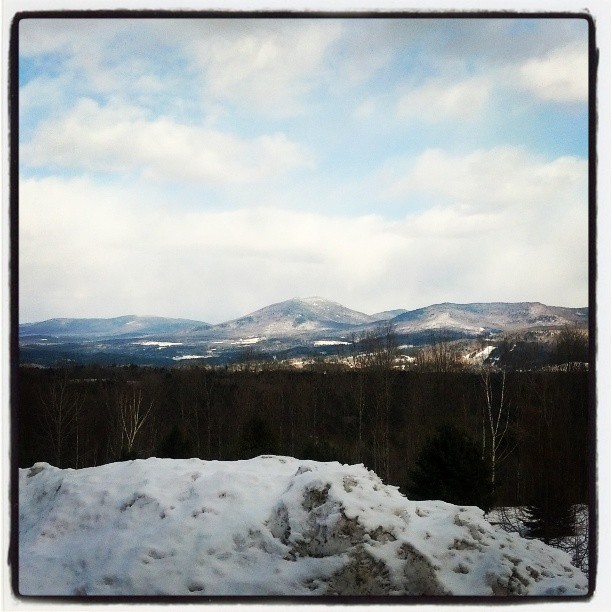
Mountain View
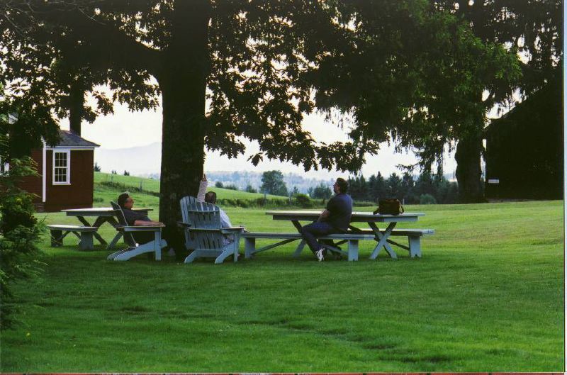
the view relaxing

The Back Barn

View from AirBnB Room
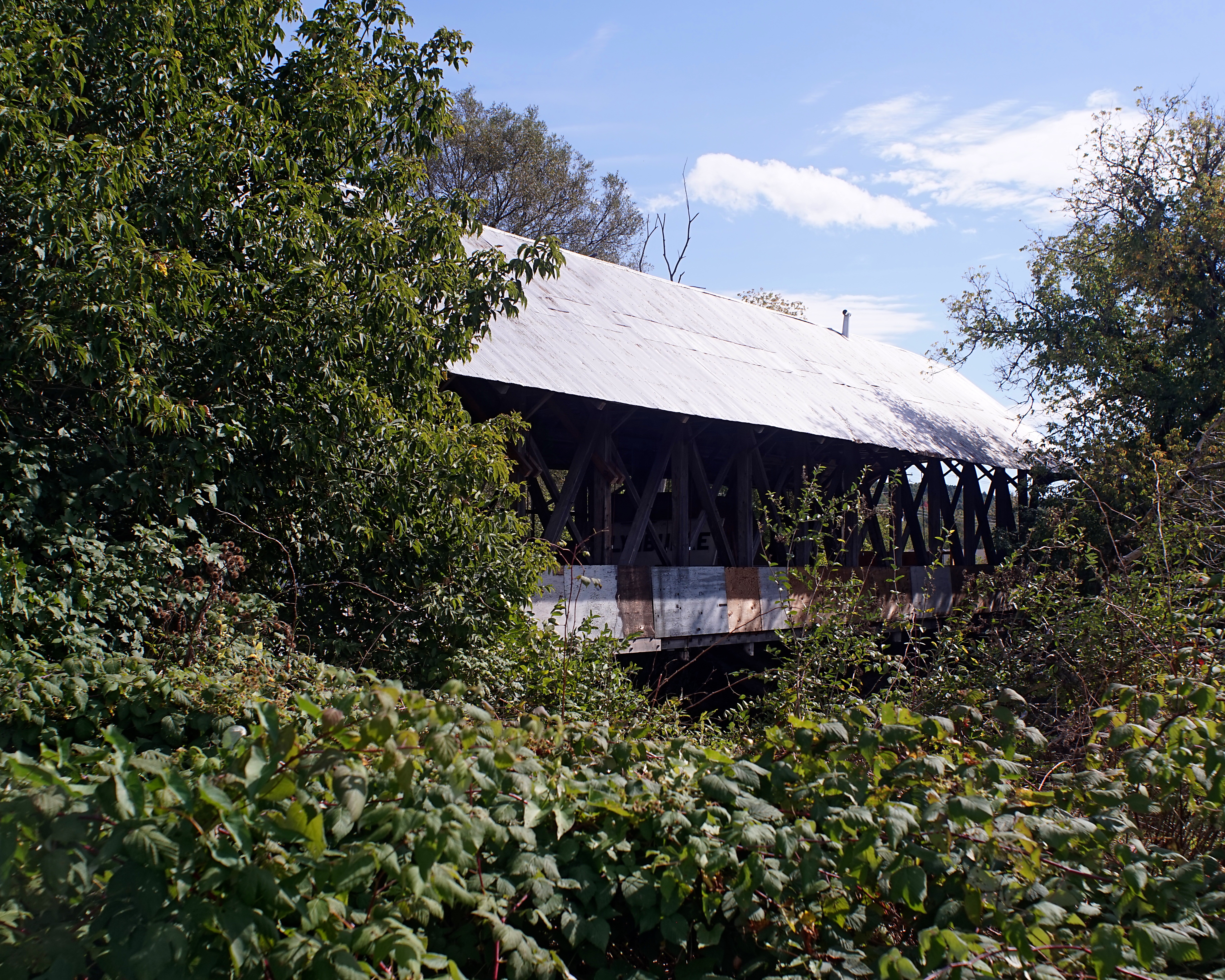
Sanborn Bridge II

And my view ... Getting to watch on as @ryanb24 officiated a beautiful ceremony. Congratulations to Taylor and Eli!! ❤️????

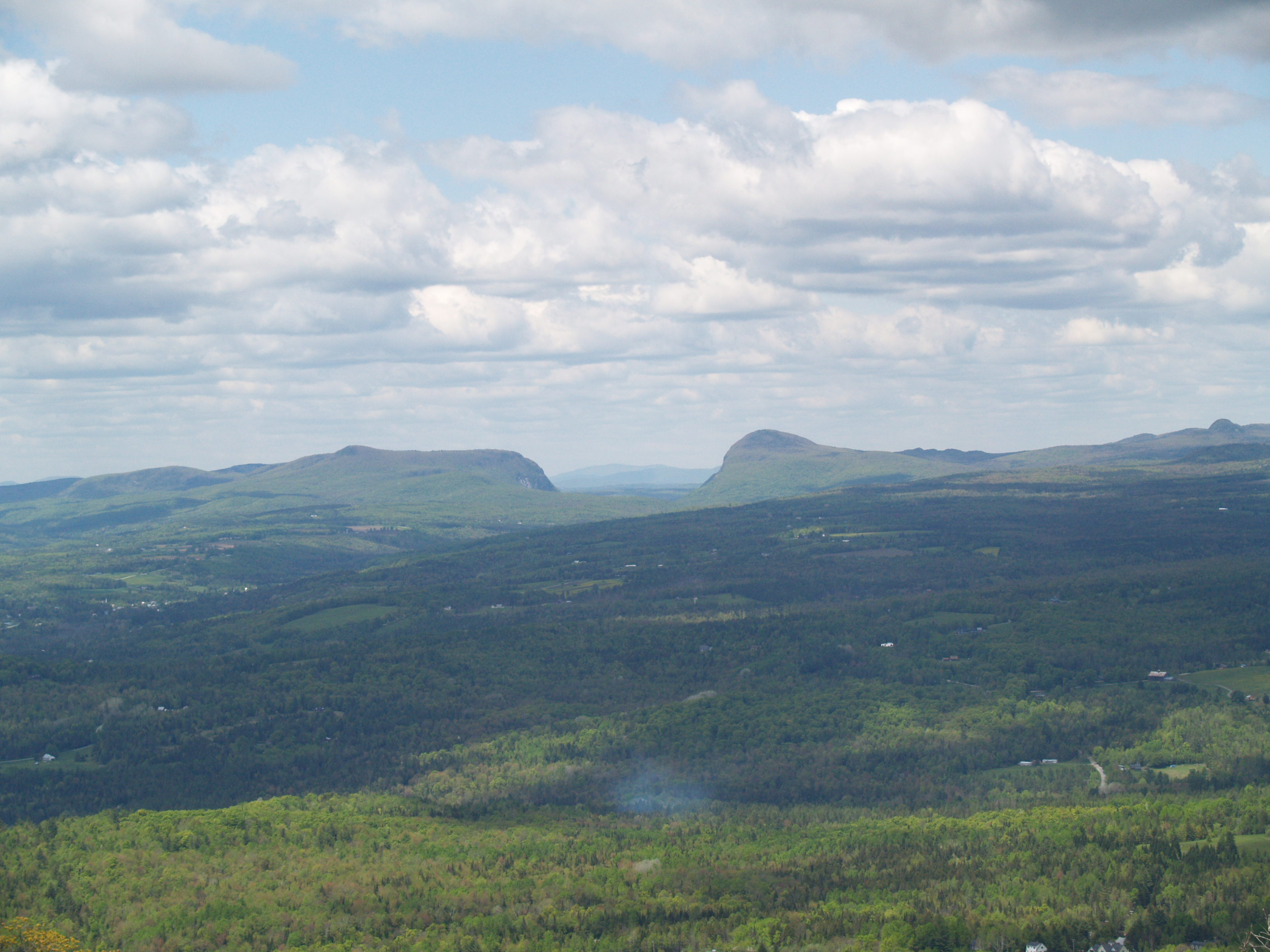
309/366: On Willoughby

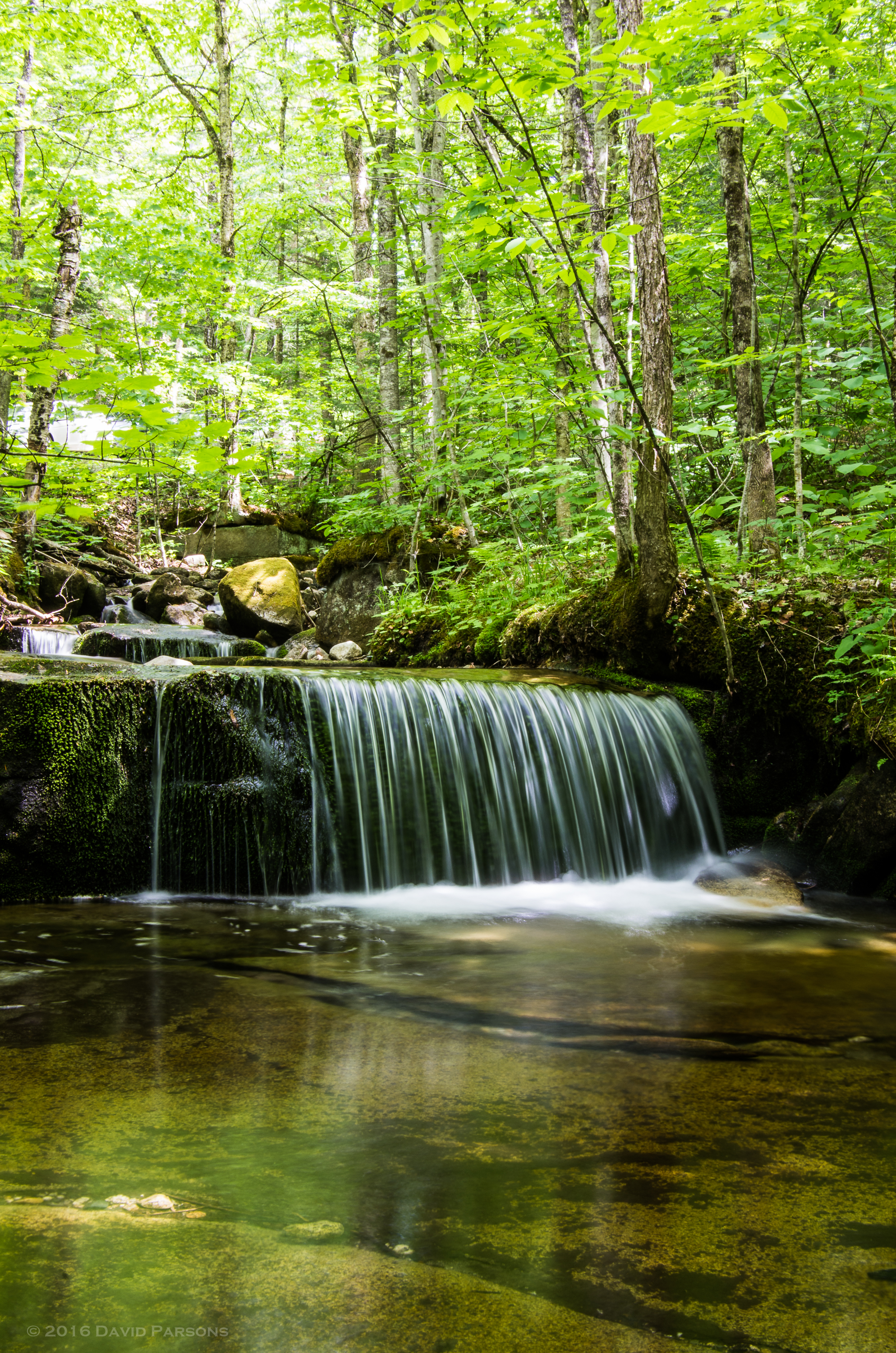
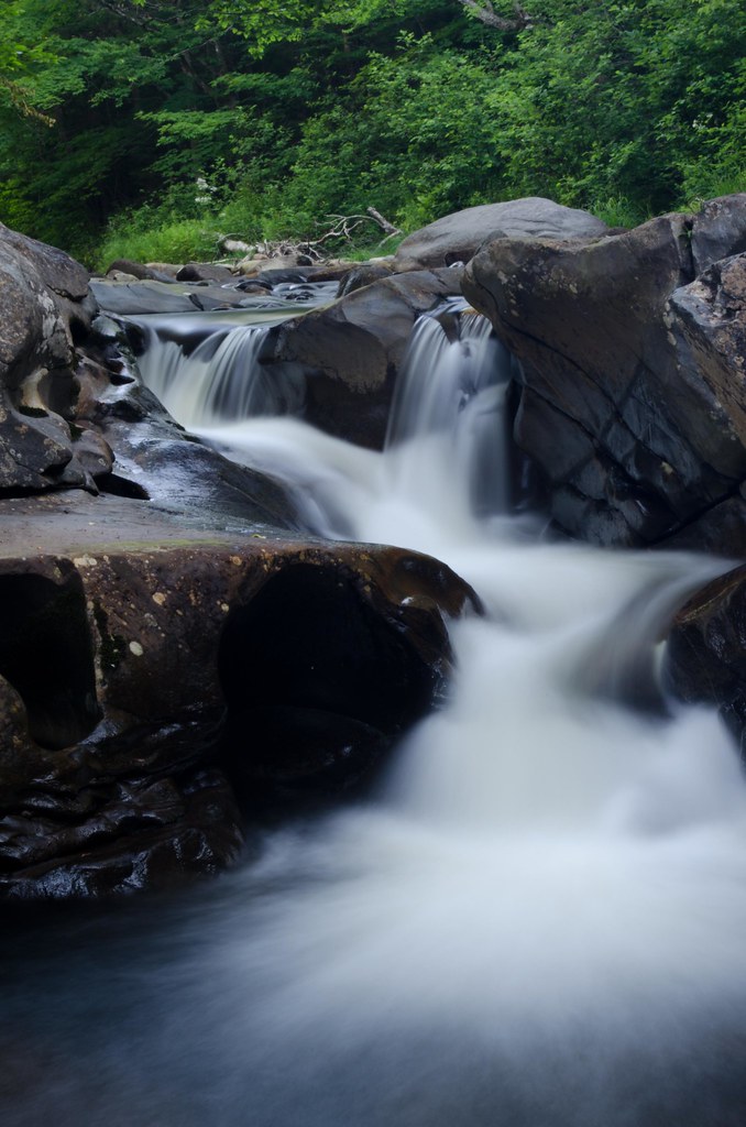
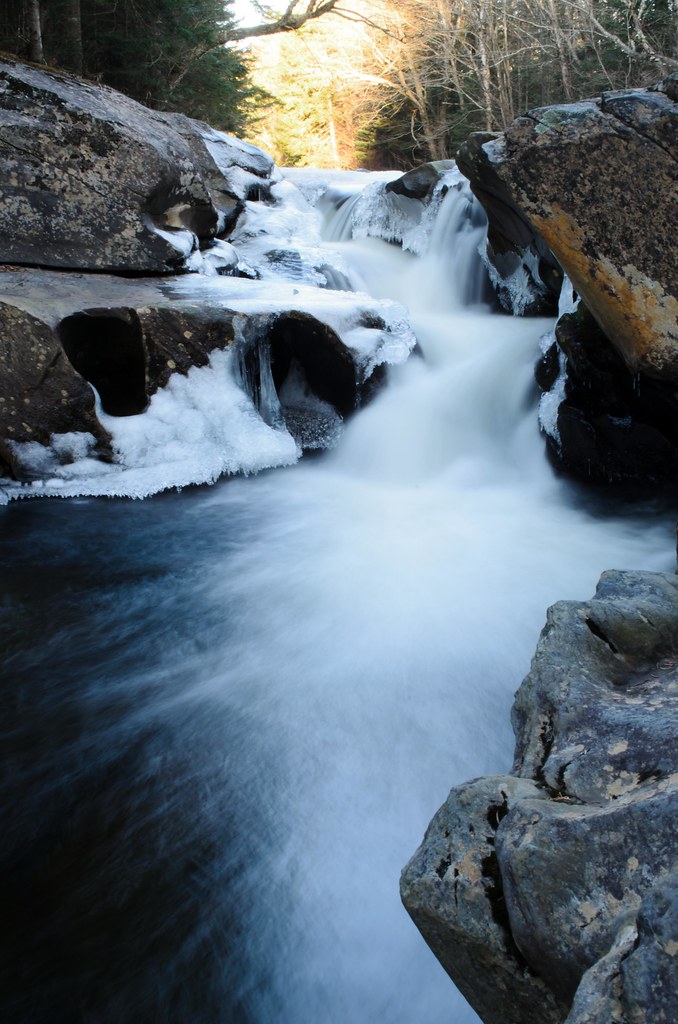
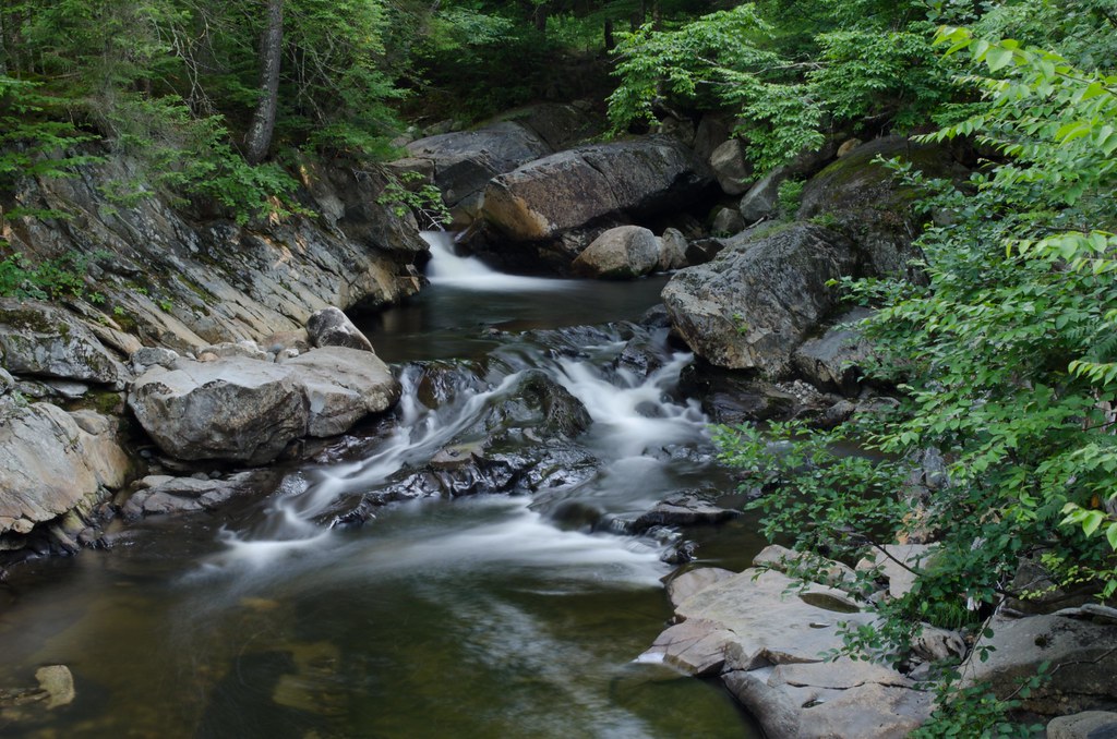
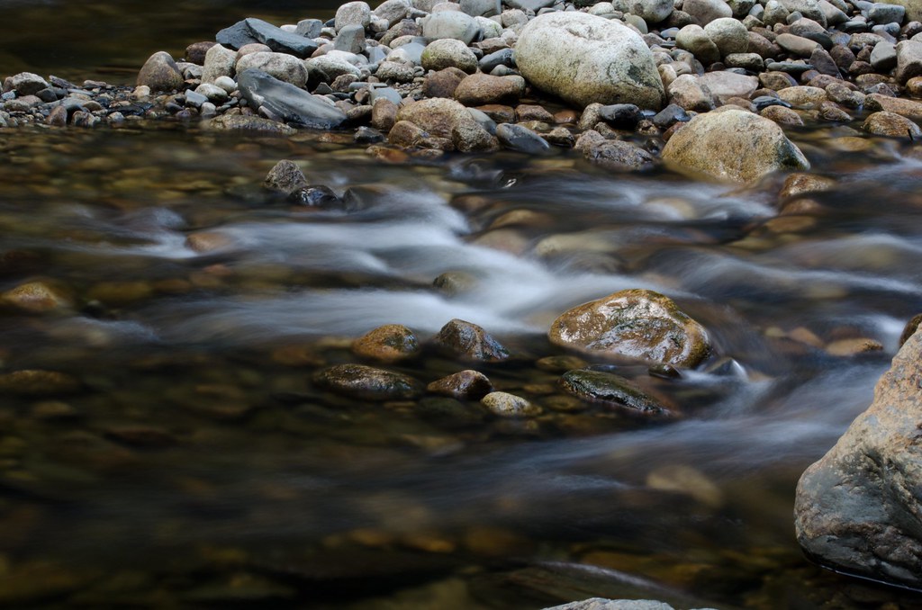
Jack Brook waterfall
Jack Brook waterfall

Icy Fall

Morning Fog
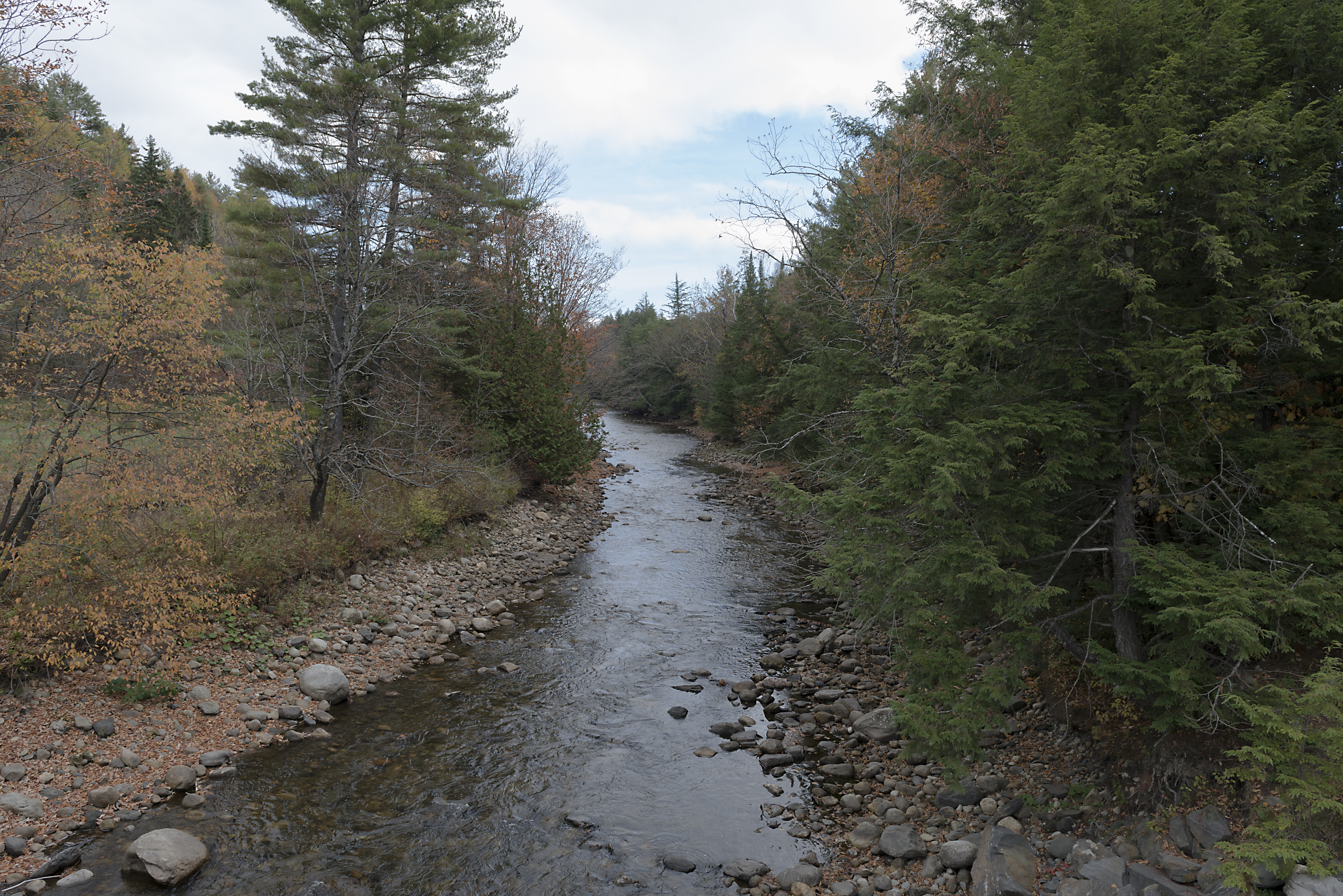
The East Branch of the Passumpsic River

Mile 22. #mrcktweekend #circumburke
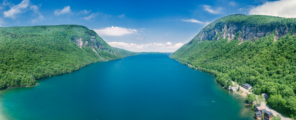
Lake Willoughby by DJI Phantom 4
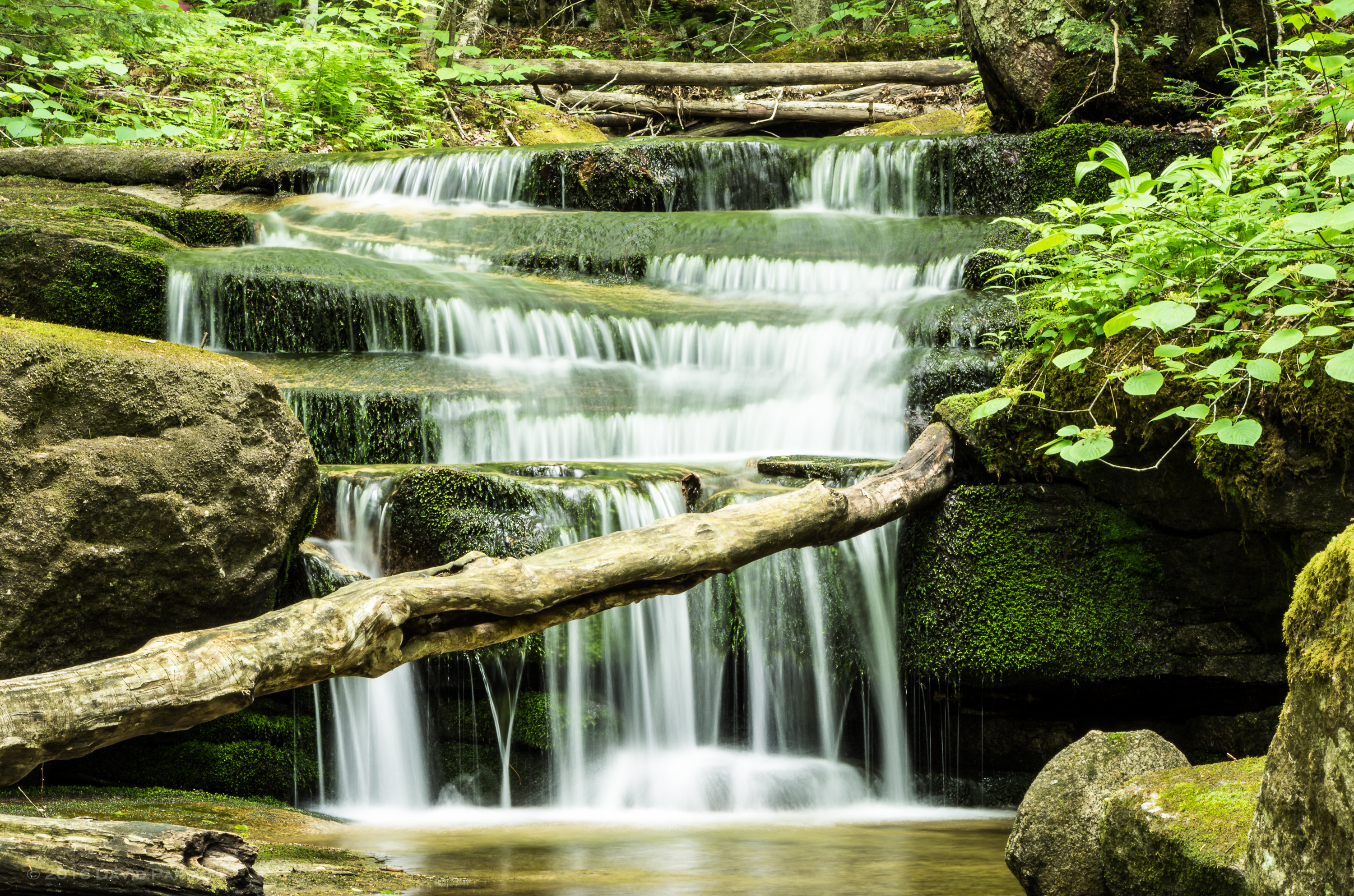
Jack Brook waterfall
Radar Ledges.NEF

#latergram #mrcktweekend
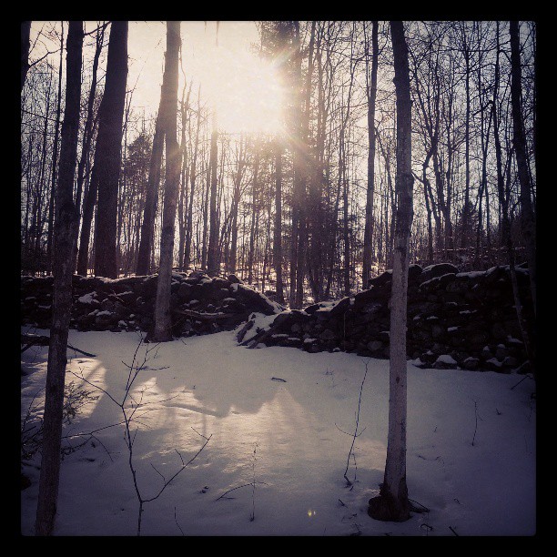
Wall, unmended
Icy Falls
In the frosty highlands
Vermont_20120708_310.NEF
Vermont_20120707_190.NEF
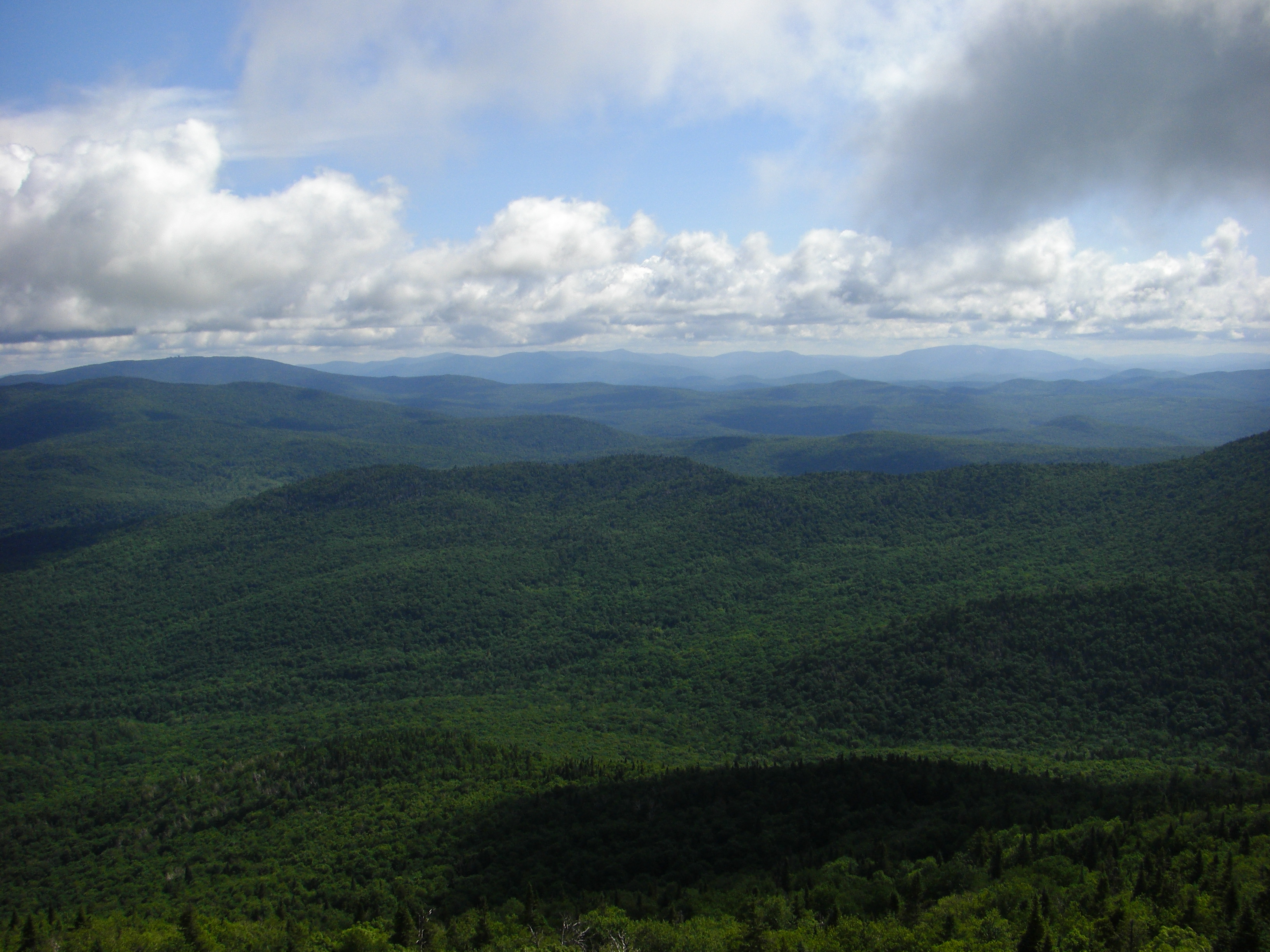
Northeast Kingdom, Vermont
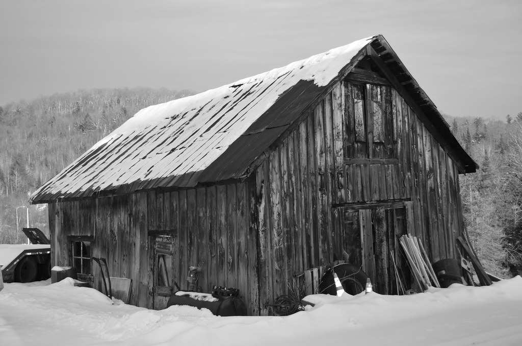
Old Barn
Topographic Map of East Burke, Burke, VT, USA
Find elevation by address:

Places in East Burke, Burke, VT, USA:
Places near East Burke, Burke, VT, USA:
101 Hunter Farm Rd
2264 Vt-114
Burke
60 Alpine Ln
Burke Mountain Hotel & Conference Center
Burke Mountain
14 Oakwood Ln
West Burke
Lyndon
1147 Brown Farm Rd
438 Charles St
Lyndonville
Back Center Rd, Lyndonville, VT, USA
668 Sheldon Brook Rd
3000 Victory Hill Rd
34 Burke Rd, Sutton, VT, USA
Sutton
95 Underpass Rd
23 York St, Lyndonville, VT, USA
37 Ledge Rd
Recent Searches:
- Elevation of Hercules Dr, Colorado Springs, CO, USA
- Elevation of Szlak pieszy czarny, Poland
- Elevation of Griffing Blvd, Biscayne Park, FL, USA
- Elevation of Kreuzburger Weg 13, Düsseldorf, Germany
- Elevation of Gateway Blvd SE, Canton, OH, USA
- Elevation of East W.T. Harris Boulevard, E W.T. Harris Blvd, Charlotte, NC, USA
- Elevation of West Sugar Creek, Charlotte, NC, USA
- Elevation of Wayland, NY, USA
- Elevation of Steadfast Ct, Daphne, AL, USA
- Elevation of Lagasgasan, X+CQH, Tiaong, Quezon, Philippines