Elevation of East Bayard, NE, USA
Location: United States > Nebraska > Morrill County >
Longitude: -103.24326
Latitude: 41.8021423
Elevation: 1184m / 3885feet
Barometric Pressure: 88KPa
Elevation Map:
Satellite Map:
Related Photos:

1987 06-21 1657-3 BN C30-7-5536 W/B Angora, NE

1987 06-21 1657-2 BN C30-7-5536 W/B Angora, NE

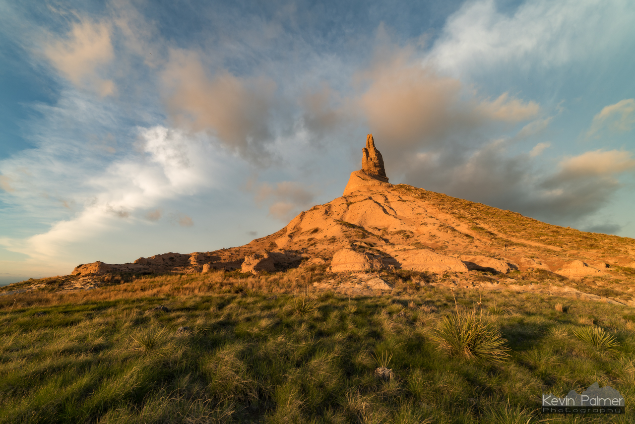
Chimney Rock backlit

Chimney Rock

View Near Chimney Rock

Chimney Rock

Nebraska Windmill

Tower of the Plains

Chimney Rock NHS

Lowering & Chimney Rock

Prairie Storm

Chimney Rock Redux

Chimney Rock

Rain Behind The Chimney Rock

Cows Grazing

Chimney Rock

Photographing The Storm
Last Light On Chimney

Chimney Rock, Nebraska

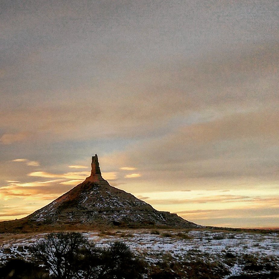
Chimney Rock in the wintertime

Chimney Rock Afternoon

Tree and Chimney Rock
Chimney Rock. #Nebraska #HighPlains #ChimneyRock #sunset #dusk

Cows pose for the camera at Chimney Rock

Cattle and Chimney Rock - Nebraska

Chimney Rock, Nebraska in black and white
Topographic Map of East Bayard, NE, USA
Find elevation by address:

Places in East Bayard, NE, USA:
Places near East Bayard, NE, USA:
Bayard
Road 130
West Bayard
West Camp Clarke
Bridgeport
Bentley St, Gering, NE, USA
Melbeta
Castle Rock
Morrill County
York Dr, Scottsbluff, NE, USA
240762 Lake Minatare Rd
East Winters Creek
Scotts Bluff County
Gilchrist
2100 E Overland
Funston
785 L St
795 P St
Gering
Box Butte-wright-lake
Recent Searches:
- Elevation of Congressional Dr, Stevensville, MD, USA
- Elevation of Bellview Rd, McLean, VA, USA
- Elevation of Stage Island Rd, Chatham, MA, USA
- Elevation of Shibuya Scramble Crossing, 21 Udagawacho, Shibuya City, Tokyo -, Japan
- Elevation of Jadagoniai, Kaunas District Municipality, Lithuania
- Elevation of Pagonija rock, Kranto 7-oji g. 8"N, Kaunas, Lithuania
- Elevation of Co Rd 87, Jamestown, CO, USA
- Elevation of Tenjo, Cundinamarca, Colombia
- Elevation of Côte-des-Neiges, Montreal, QC H4A 3J6, Canada
- Elevation of Bobcat Dr, Helena, MT, USA