Elevation of East Barriere Lake Forest Service Road, E Barriere Lake Forest Service Rd, Thompson-Nicola O, BC V0E, Canada
Location: Canada > British Columbia > Thompson-nicola > Thompson-nicola O >
Longitude: -119.80370
Latitude: 51.2642164
Elevation: 646m / 2119feet
Barometric Pressure: 94KPa
Elevation Map:
Satellite Map:
Related Photos:

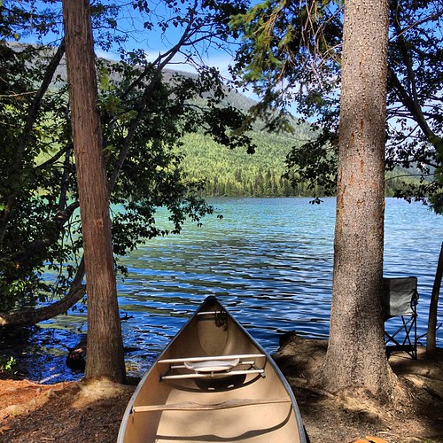
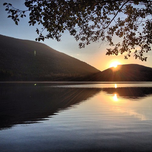
Johnson Lake BC

#sunset at #johnson #lake
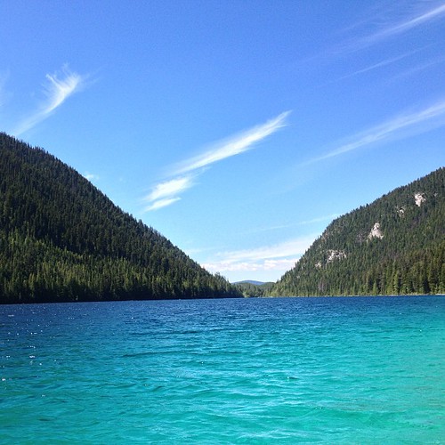
The super #clear water at #Johnsonlake . #colour was #amazing! #nofilter
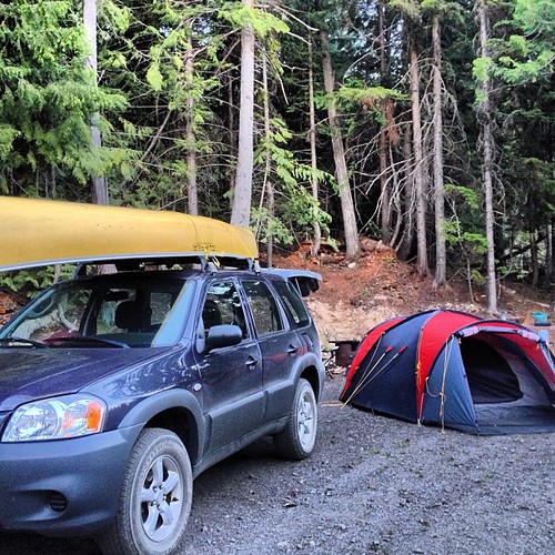
Can't wait for the next #camping trip
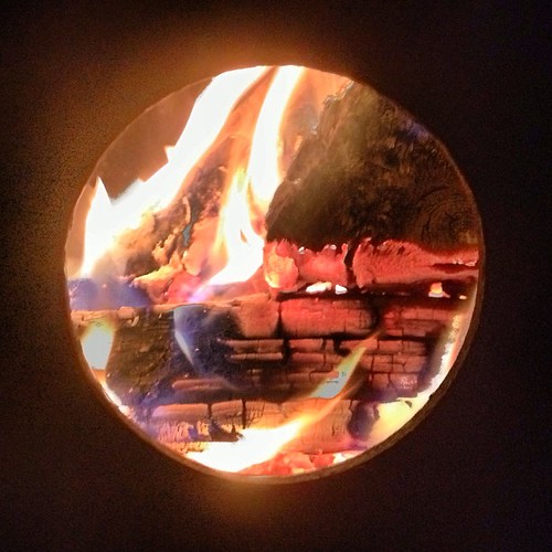
#fireinthehole
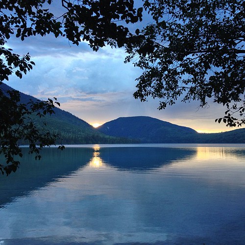
#sunset at #johnson #lake
#johnson #lake
#johnson #lake
Topographic Map of East Barriere Lake Forest Service Road, E Barriere Lake Forest Service Rd, Thompson-Nicola O, BC V0E, Canada
Find elevation by address:

Places near East Barriere Lake Forest Service Road, E Barriere Lake Forest Service Rd, Thompson-Nicola O, BC V0E, Canada:
East Barriere Lake Forest Service Road
Thompson-nicola O
3373 E Barriere Lake Forest Service Rd
3373 E Barriere Lake Forest Service Rd
4260 Barriere Lakes Rd
4260 Barriere Lakes Rd
737 Agate Bay Rd
Dunn Peak
2100 Agate Bay Rd
2100 Agate Bay Rd
2100 Agate Bay Rd
2100 Agate Bay Rd
Agate Bay Rd, Louis Creek, BC V0E 2E0, Canada
3459 Agate Bay Rd
3101 Agate Bay Rd
873 Harvie Rd
Vavenby
Barrière
3373 Barriere Town Rd
Re/max Integrity Realty
Recent Searches:
- Elevation of Lampiasi St, Sarasota, FL, USA
- Elevation of Elwyn Dr, Roanoke Rapids, NC, USA
- Elevation of Congressional Dr, Stevensville, MD, USA
- Elevation of Bellview Rd, McLean, VA, USA
- Elevation of Stage Island Rd, Chatham, MA, USA
- Elevation of Shibuya Scramble Crossing, 21 Udagawacho, Shibuya City, Tokyo -, Japan
- Elevation of Jadagoniai, Kaunas District Municipality, Lithuania
- Elevation of Pagonija rock, Kranto 7-oji g. 8"N, Kaunas, Lithuania
- Elevation of Co Rd 87, Jamestown, CO, USA
- Elevation of Tenjo, Cundinamarca, Colombia