Elevation of Eames Station Rd, Tennyson, IN, USA
Location: United States > Indiana > Warrick County > Skelton Township > Tennyson >
Longitude: -87.133951
Latitude: 38.077626
Elevation: 121m / 397feet
Barometric Pressure: 100KPa
Elevation Map:
Satellite Map:
Related Photos:

Wings in the Sun

An Impressionist's Dragonfly

Bidens Aristosa
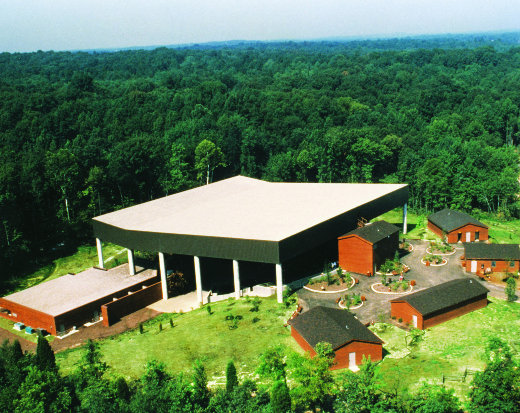
Lincoln Amphitheatre

B and W Barn

Another Indiana sunset
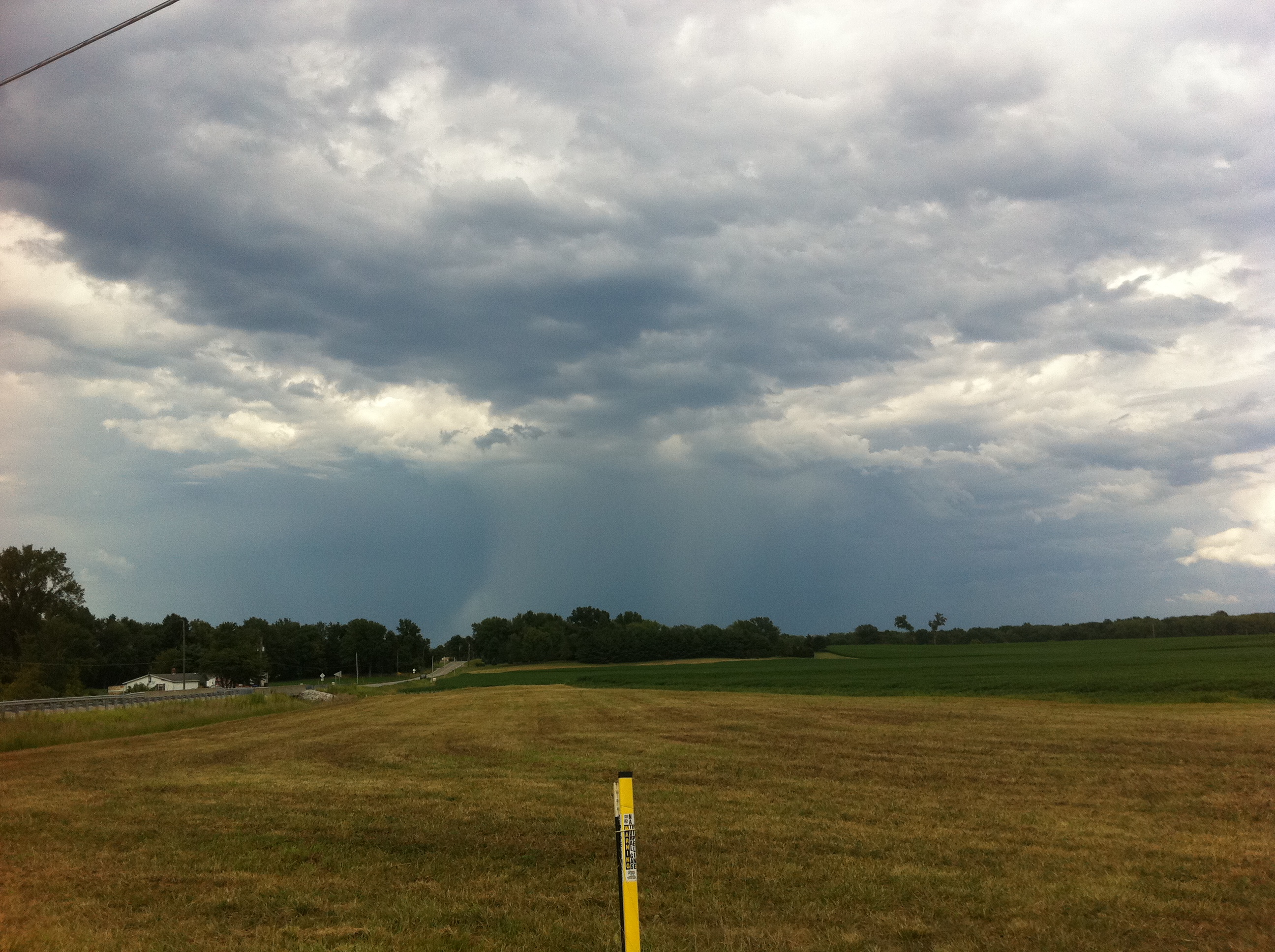
Deluge from a distance

Aurda's Landscape
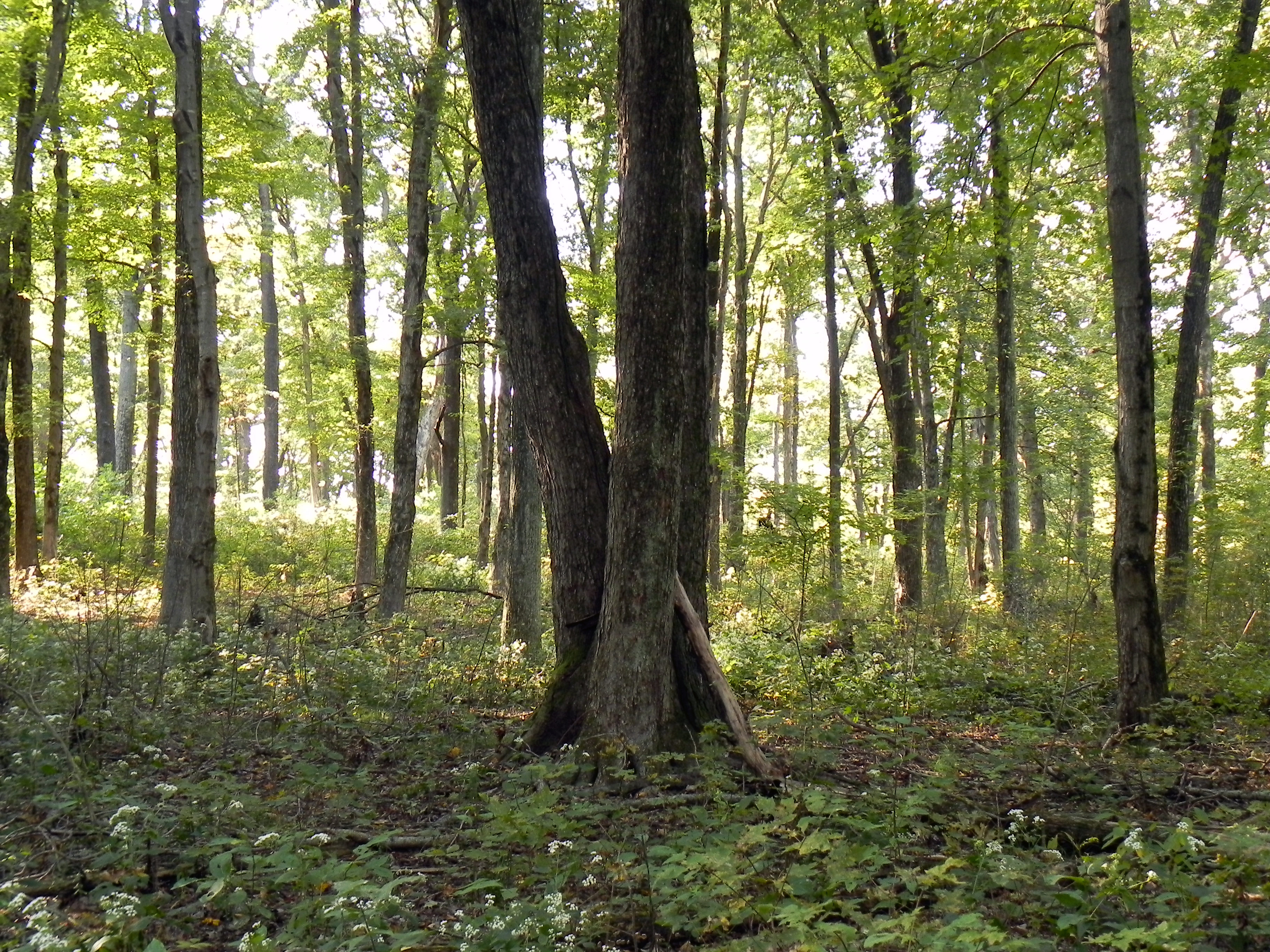
More Trees

Nowhere, In.
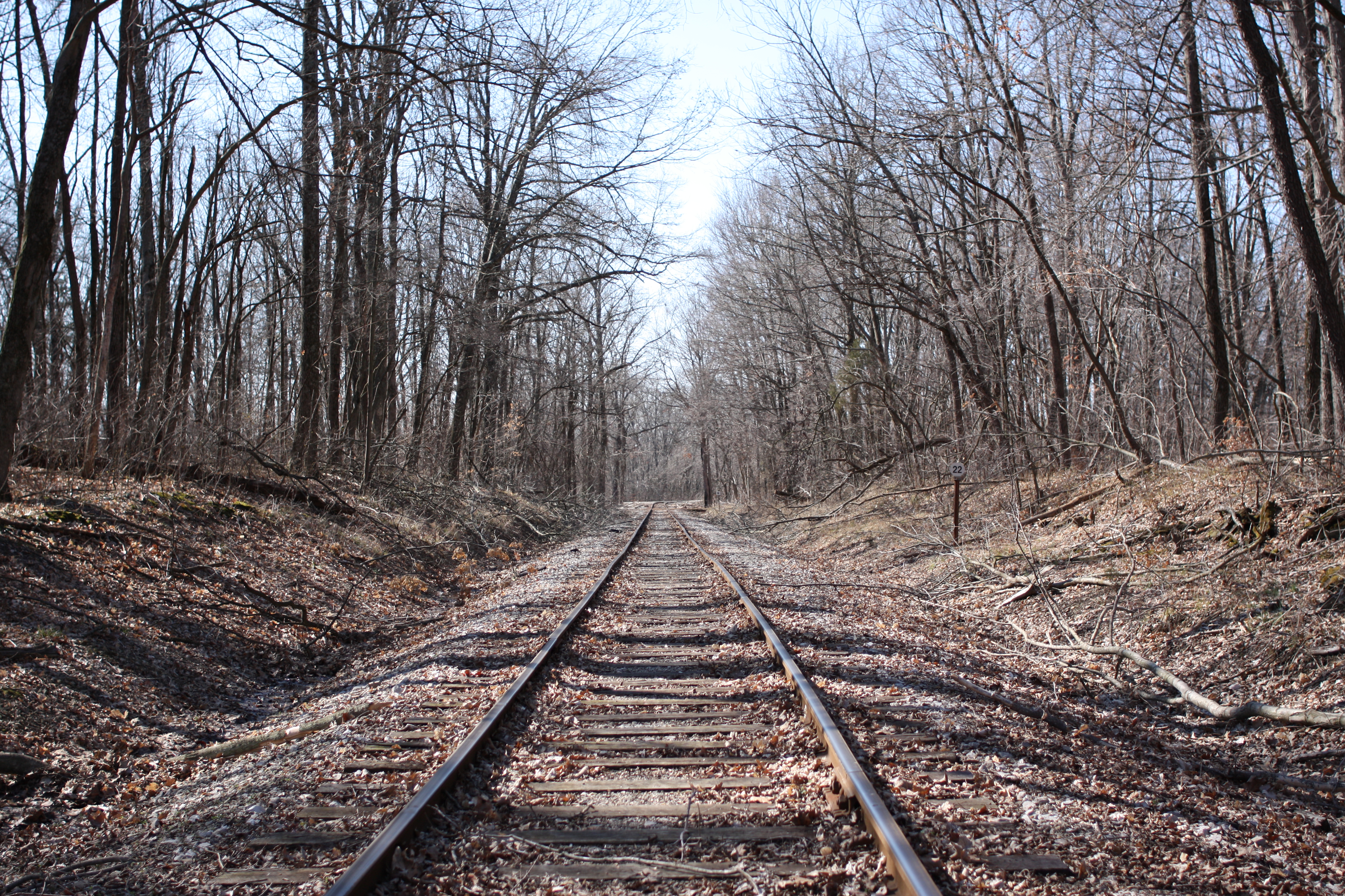
Down by the tracks

Lincoln memorial

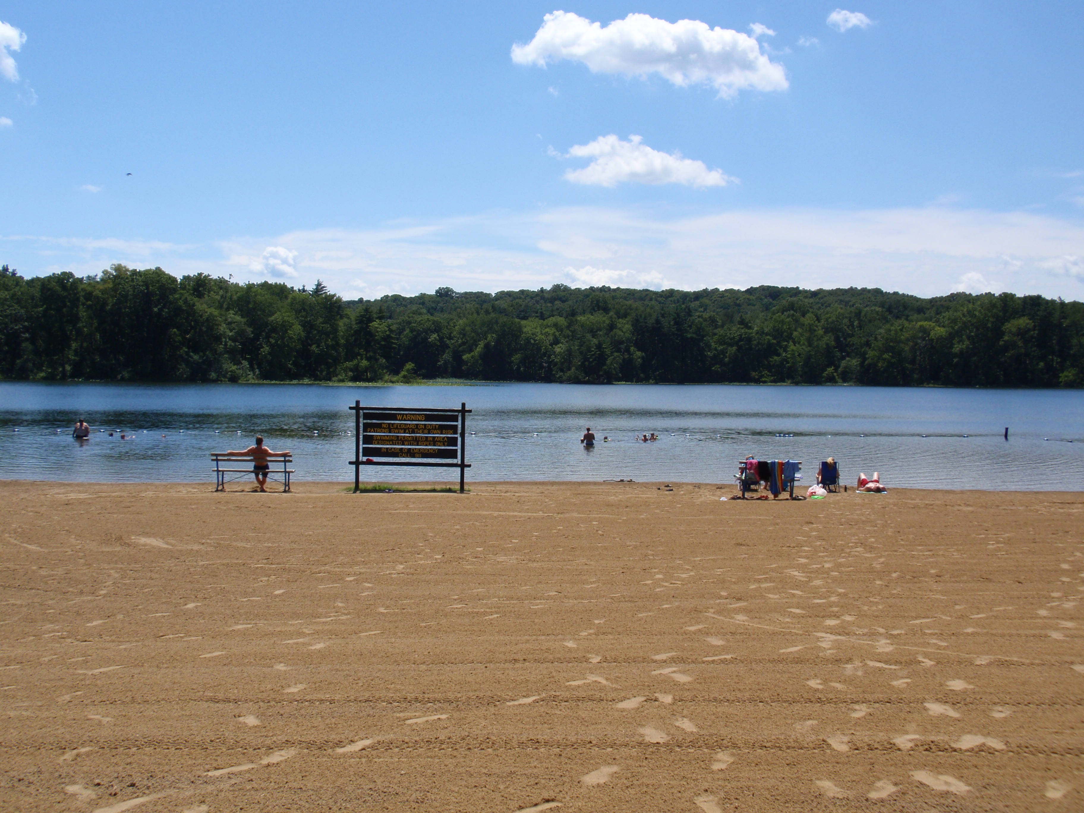
Park Bench

Bos taurus 6/1/2014
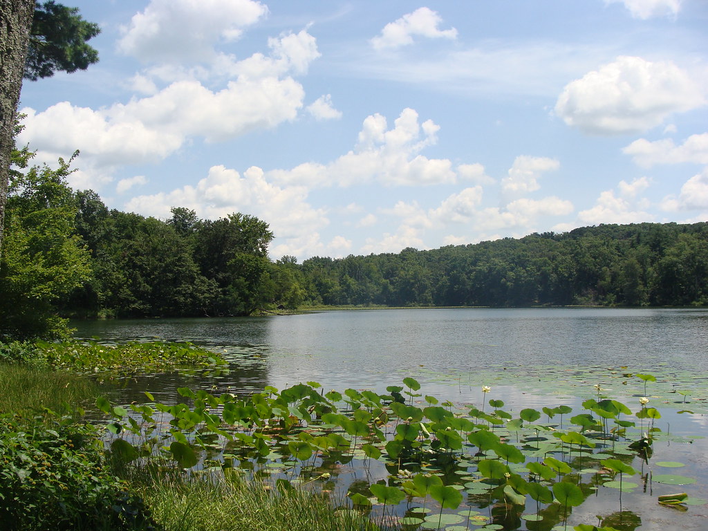
Lilly Pads
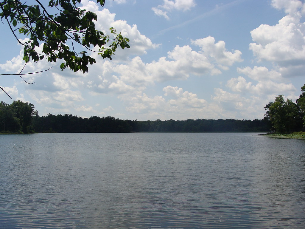
Peaceful Day at the Lake
Lincoln State Park

Lincoln Homestead (2 of 2)
Topographic Map of Eames Station Rd, Tennyson, IN, USA
Find elevation by address:

Places near Eames Station Rd, Tennyson, IN, USA:
S Main St, Tennyson, IN, USA
Tennyson
Skelton Township
Franz Rd, Boonville, IN, USA
N Folsomville Rd, Boonville, IN, USA
Ash Iron Rd, Boonville, IN, USA
County Rd N, Gentryville, IN, USA
Grass Township
Jackson Township
Gentryville
12 N Main St, Chrisney, IN, USA
Chrisney
N E, Santa Claus, IN, USA
Spencer County
Clay Township
645 Melchior Dr N
E County Rd N, Lamar, IN, USA
E N, Grandview, IN, USA
E County Rd N, Lamar, IN, USA
Santa Claus
Recent Searches:
- Elevation of Hercules Dr, Colorado Springs, CO, USA
- Elevation of Szlak pieszy czarny, Poland
- Elevation of Griffing Blvd, Biscayne Park, FL, USA
- Elevation of Kreuzburger Weg 13, Düsseldorf, Germany
- Elevation of Gateway Blvd SE, Canton, OH, USA
- Elevation of East W.T. Harris Boulevard, E W.T. Harris Blvd, Charlotte, NC, USA
- Elevation of West Sugar Creek, Charlotte, NC, USA
- Elevation of Wayland, NY, USA
- Elevation of Steadfast Ct, Daphne, AL, USA
- Elevation of Lagasgasan, X+CQH, Tiaong, Quezon, Philippines