Elevation of Eagle Run, Longs, SC, USA
Location: United States > South Carolina > Horry County > Longs >
Longitude: -78.687536
Latitude: 33.8894009
Elevation: 13m / 43feet
Barometric Pressure: 101KPa
Elevation Map:
Satellite Map:
Related Photos:

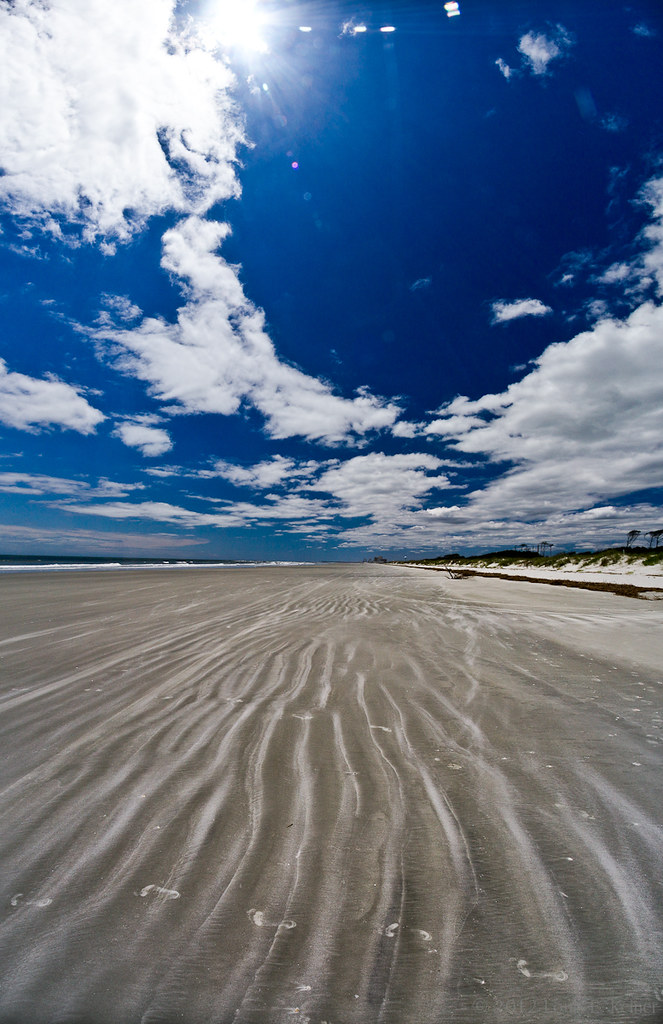
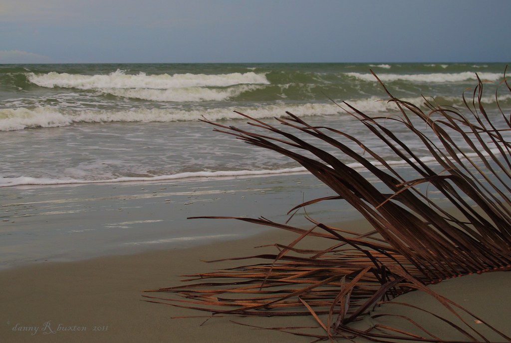
A wave crashes along the NC/SC boundary

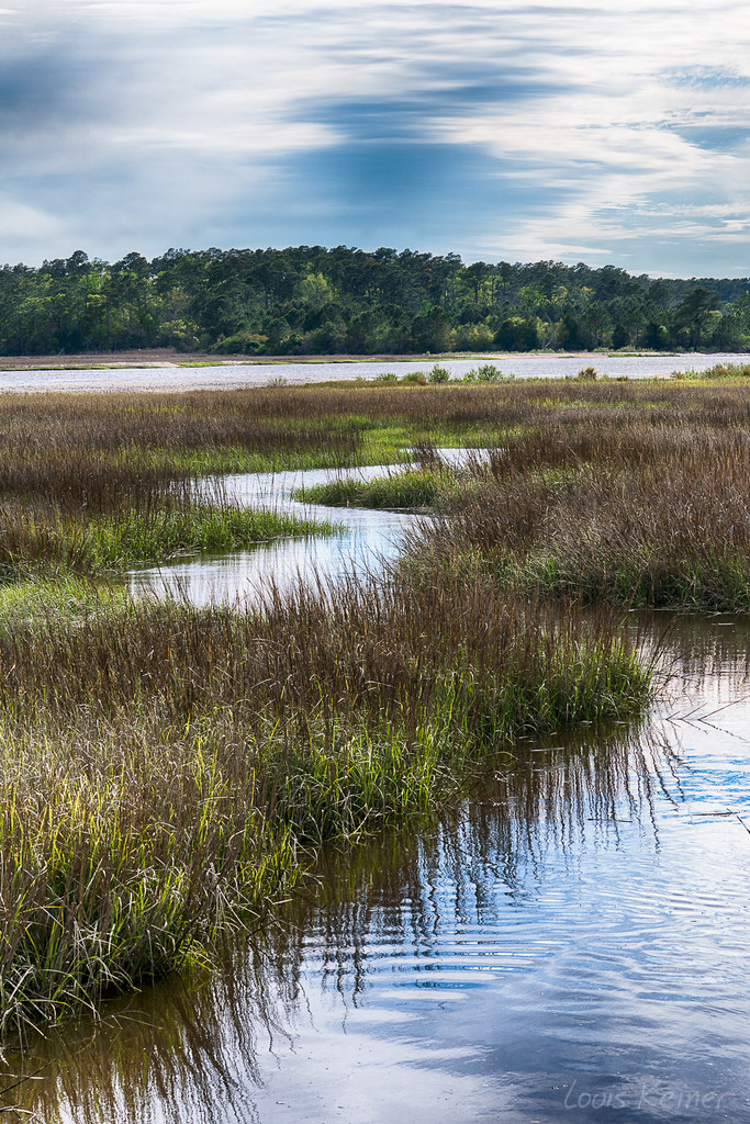
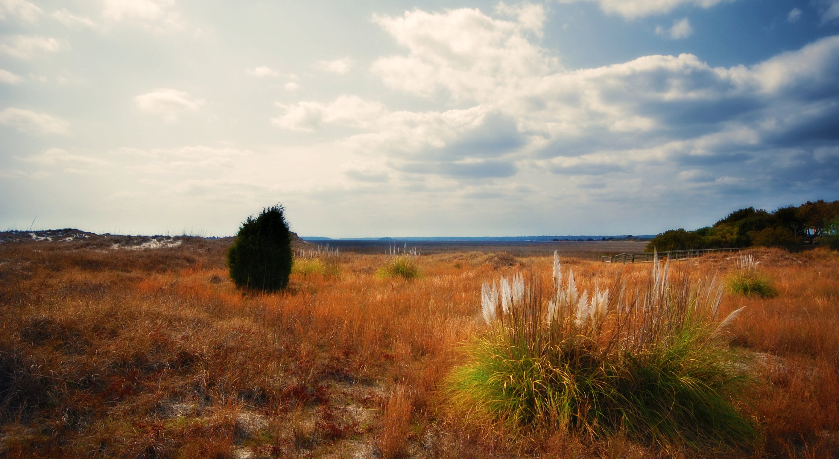
Day 901 - Sunset Over The Marsh

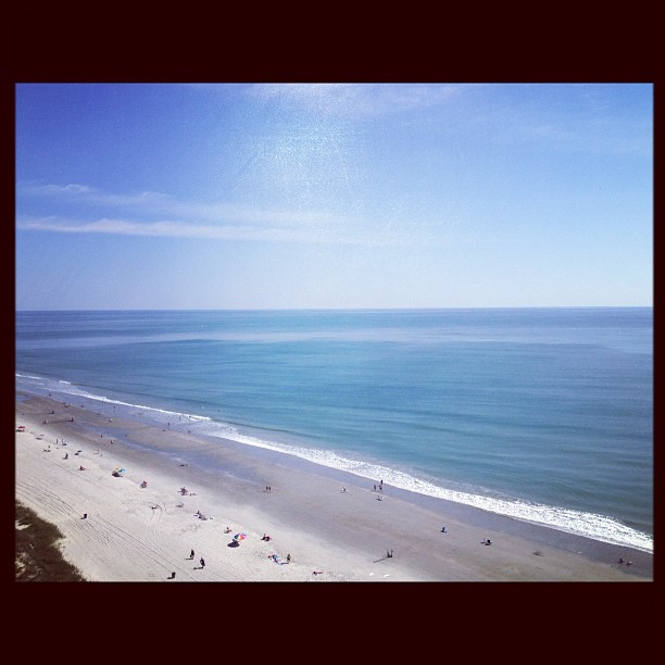
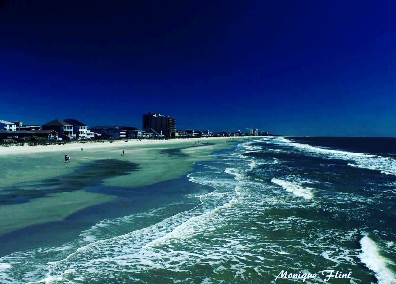
Morning at the Pier
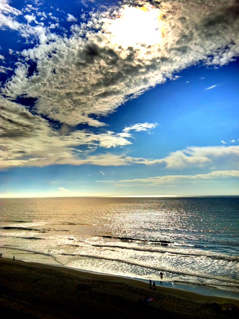
LK_20120520_0028-sm
LK_20170408_0170_HDR-sm

Great way to start the day #sunrise

Cold day on the #beach is better than a day at work.

Beach gallery-1

Under the Pier
#baywatch #myrtlebeach #vacation

Cherry Grove Pier

LK_20140727_0101_HDR-sm

2011-10-30-Myrtle-299

Coquina Harbor

"Super" moon on May 5, 2012
Looking North @NMB

ripples-1
Beachcombing 265/365
It will all be under water soon.
The shore

Ha ha drainage system.
Topographic Map of Eagle Run, Longs, SC, USA
Find elevation by address:

Places near Eagle Run, Longs, SC, USA:
248 Eagle Run
252 Eagle Run
263 Eagle Run
2181 Goodson Dr
256 Eagle Run
260 Eagle Run
2160 Goodson Dr
2144 Goodson Dr
2137 Goodson Dr
116 Staton Ln
190 Wiltshire Ct
100 Colonial Ct
Cheshire Court
Motor Vehicles Department
2337 Brick Dr
Cvs
2492 Sc-9
38 Palmetto Green Dr
38 Palmetto Green Dr
509 Joy Way Ct
Recent Searches:
- Elevation of W Granada St, Tampa, FL, USA
- Elevation of Pykes Down, Ivybridge PL21 0BY, UK
- Elevation of Jalan Senandin, Lutong, Miri, Sarawak, Malaysia
- Elevation of Bilohirs'k
- Elevation of 30 Oak Lawn Dr, Barkhamsted, CT, USA
- Elevation of Luther Road, Luther Rd, Auburn, CA, USA
- Elevation of Unnamed Road, Respublika Severnaya Osetiya — Alaniya, Russia
- Elevation of Verkhny Fiagdon, North Ossetia–Alania Republic, Russia
- Elevation of F. Viola Hiway, San Rafael, Bulacan, Philippines
- Elevation of Herbage Dr, Gulfport, MS, USA