Elevation of Eagle Rock Lane, Eagle Rock Ln, Egypt, NC, USA
Location: United States > North Carolina > Yancey County > Burnsville > Burnsville >
Longitude: -82.451755
Latitude: 35.9741043
Elevation: 897m / 2943feet
Barometric Pressure: 91KPa
Elevation Map:
Satellite Map:
Related Photos:

Blue Ridge Sunrise

Sunrise: Black Mountains, NC

The View From The Top: Mountains

Western North Carolina Mountain View

Mount Mitchell

THE MUMMY 3

Bald Mountain

Appalachian Trail

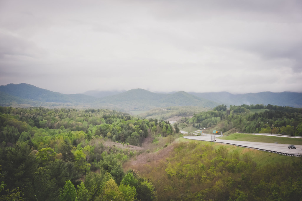
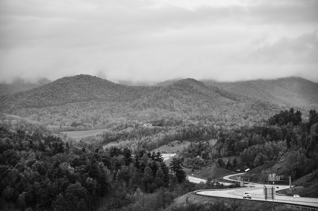
I-26 West view

Big Bald

Bald Mountain

Unaka Mountain View

Appalachian Trail

High Rock

Bald Mountain

Big Stamp

Mountain Layers

church in the rain

Big Bald

Appalachian Trail

View From our Tree
Tennesee Colors

Flow like water.jpg

Bald Mountains Panorama 1 2014-1102
Mountains in North Carolina

Blue Ridge Sunset (2014 07 03 -3796)
Around the Mountain at Sam's Gap

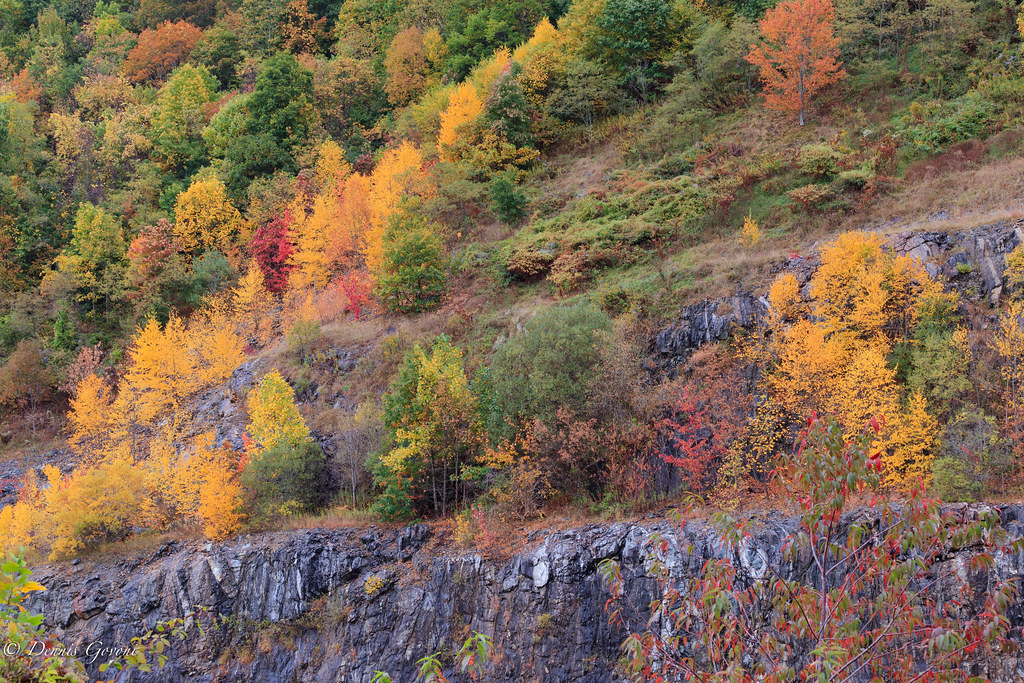
Autumn Frosting. . .

Tennessee Secinic Overlook

Cabin in the Woods - Selective Colorization
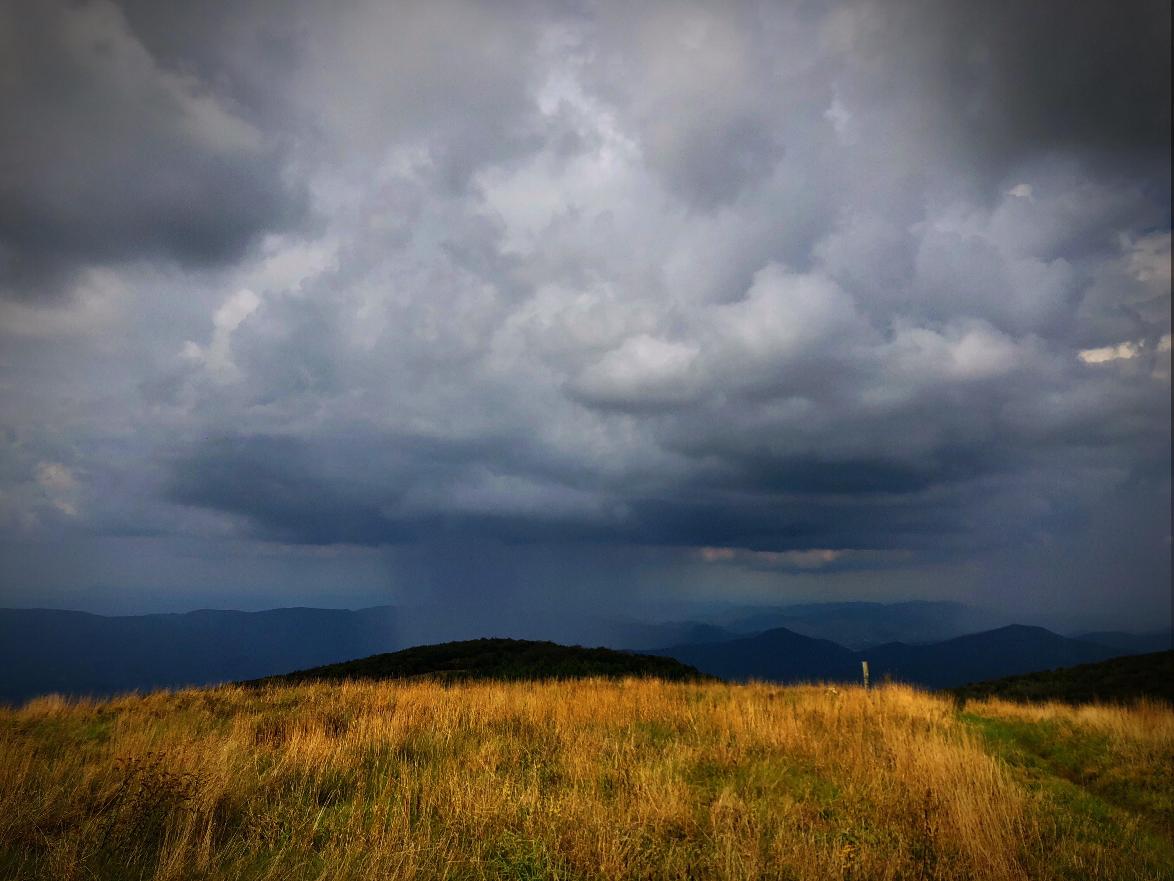
Raining in the Appalachian Mountains. Big Bald on the Appalachian Trail.

Eastern Tennessee
on the road outside Asheville, NC

Overlook in the Blue Ridge Mountains, NC/TN area

Overlook in the Blue Ridge Mountains, NC/TN area

Big Stamp, Pisgah National Forest, North Carolina

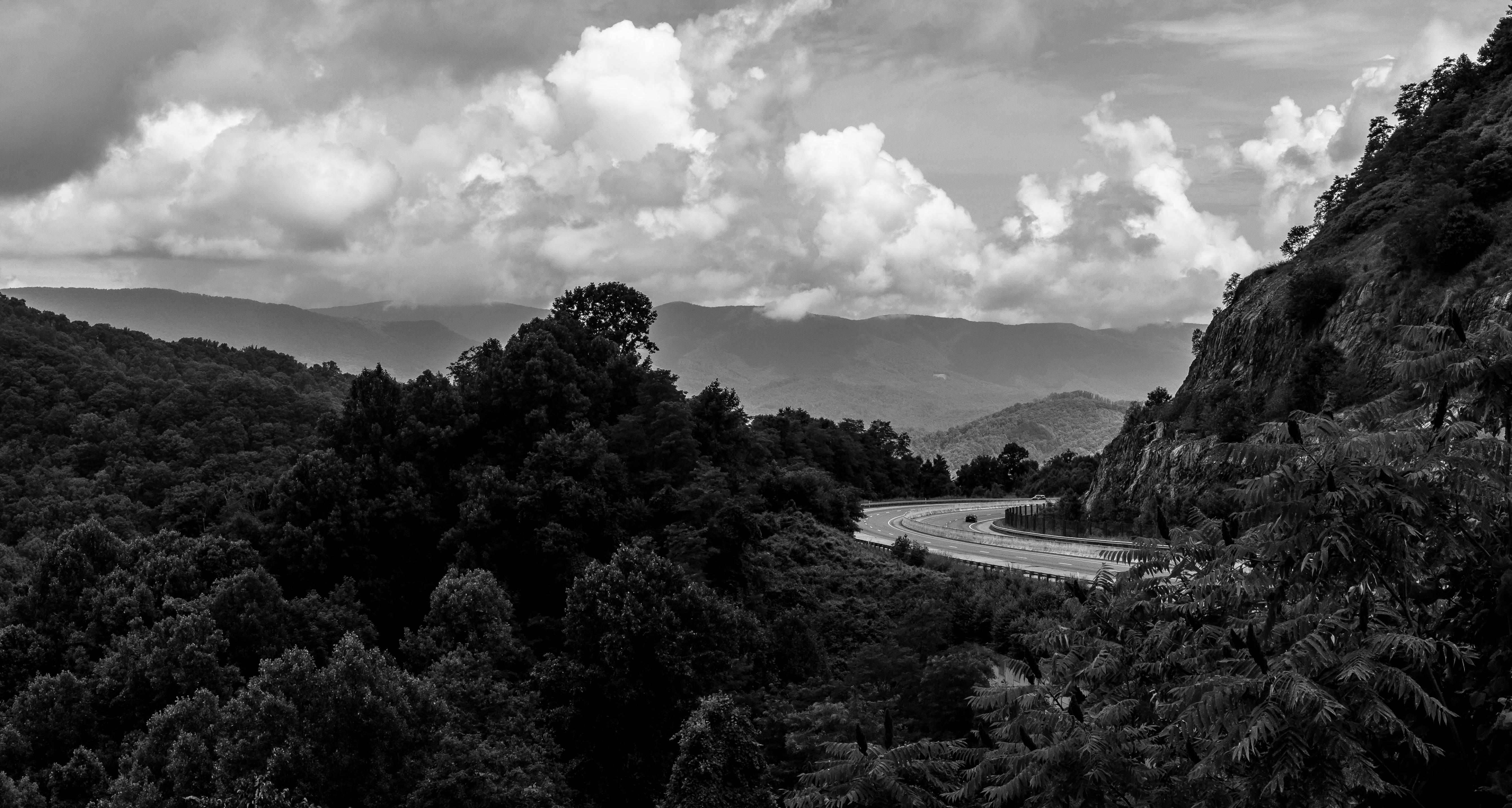
Heading to W4T/SU-024 - High Rock on the AT
Topographic Map of Eagle Rock Lane, Eagle Rock Ln, Egypt, NC, USA
Find elevation by address:

Places near Eagle Rock Lane, Eagle Rock Ln, Egypt, NC, USA:
Eagle Rock Lane
Eagle Rock Lane
Eagle Rock Lane
Eagle Rock Lane
Bald Mountain Church
4243 Bald Mountain Road
56 Roaring Fork Rd
Egypt
81 Locust Ramp Dr
Sampson Mountain
The Buck House Inn On Bald Mountain Creek
Bald Mountain Road
Bald Mountain Road
Bald Mountain Road
Bald Mountain Road
State Road 1395 & Scronce Creek Road
67 Pearl Way
310 Panther Knob Dr
Black Bear Run
489 Cherry Knob Dr
Recent Searches:
- Elevation of Congressional Dr, Stevensville, MD, USA
- Elevation of Bellview Rd, McLean, VA, USA
- Elevation of Stage Island Rd, Chatham, MA, USA
- Elevation of Shibuya Scramble Crossing, 21 Udagawacho, Shibuya City, Tokyo -, Japan
- Elevation of Jadagoniai, Kaunas District Municipality, Lithuania
- Elevation of Pagonija rock, Kranto 7-oji g. 8"N, Kaunas, Lithuania
- Elevation of Co Rd 87, Jamestown, CO, USA
- Elevation of Tenjo, Cundinamarca, Colombia
- Elevation of Côte-des-Neiges, Montreal, QC H4A 3J6, Canada
- Elevation of Bobcat Dr, Helena, MT, USA