Elevation of Eagle Peak, Colorado, USA
Location: United States > Colorado > Custer County >
Longitude: -105.72250
Latitude: 38.2291653
Elevation: 3970m / 13025feet
Barometric Pressure: 62KPa
Elevation Map:
Satellite Map:
Related Photos:

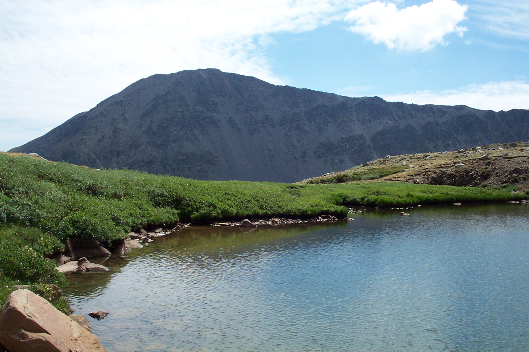
Rainbow Lake

Grizzly, Norwegian Elkhound, in tall grass.
ENJOY THE VIEW
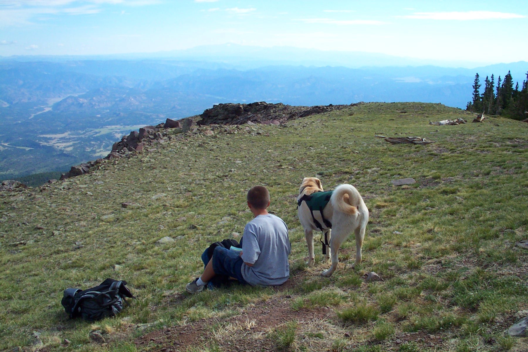
DOG WITH A VIEW

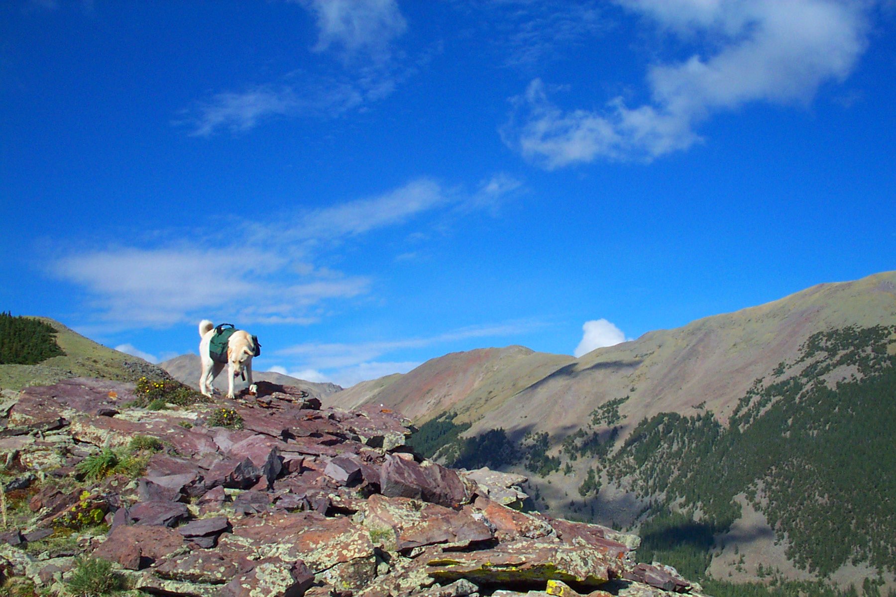
BUDDY GAZE / ABOVE THE CLOUDS
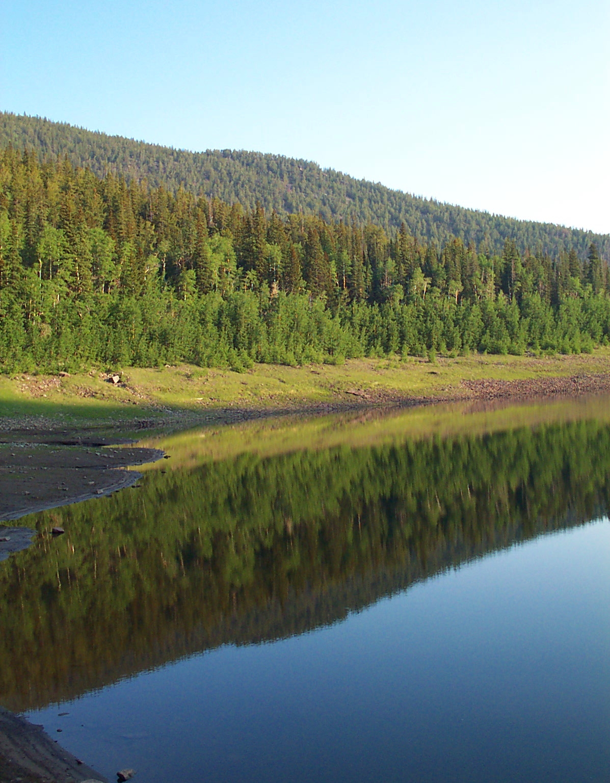
MIRROR 2
SILVER LAKE COLORADO
Waterfall Pool

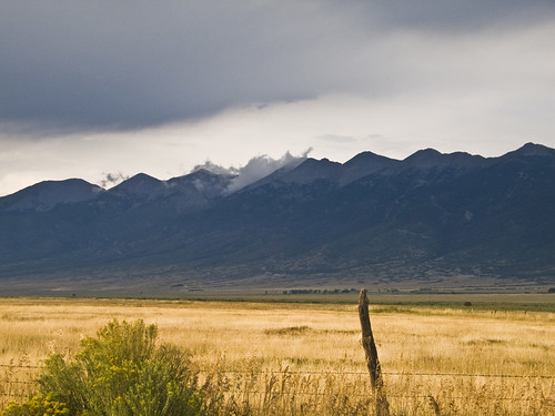
Valley View Panorama

Sally Takes in the View

Orient Land Trust

Scrub Oak Fall Colors

Orient Mine

Ghost Town of Orient

Orient Mine
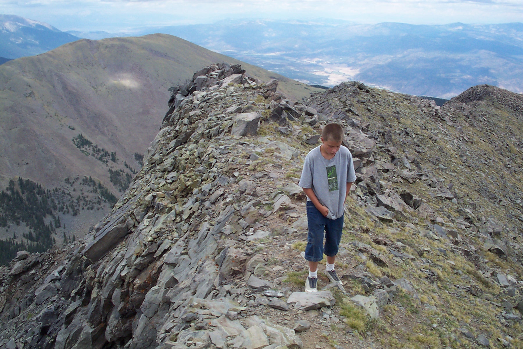
Eagle Peak Hike
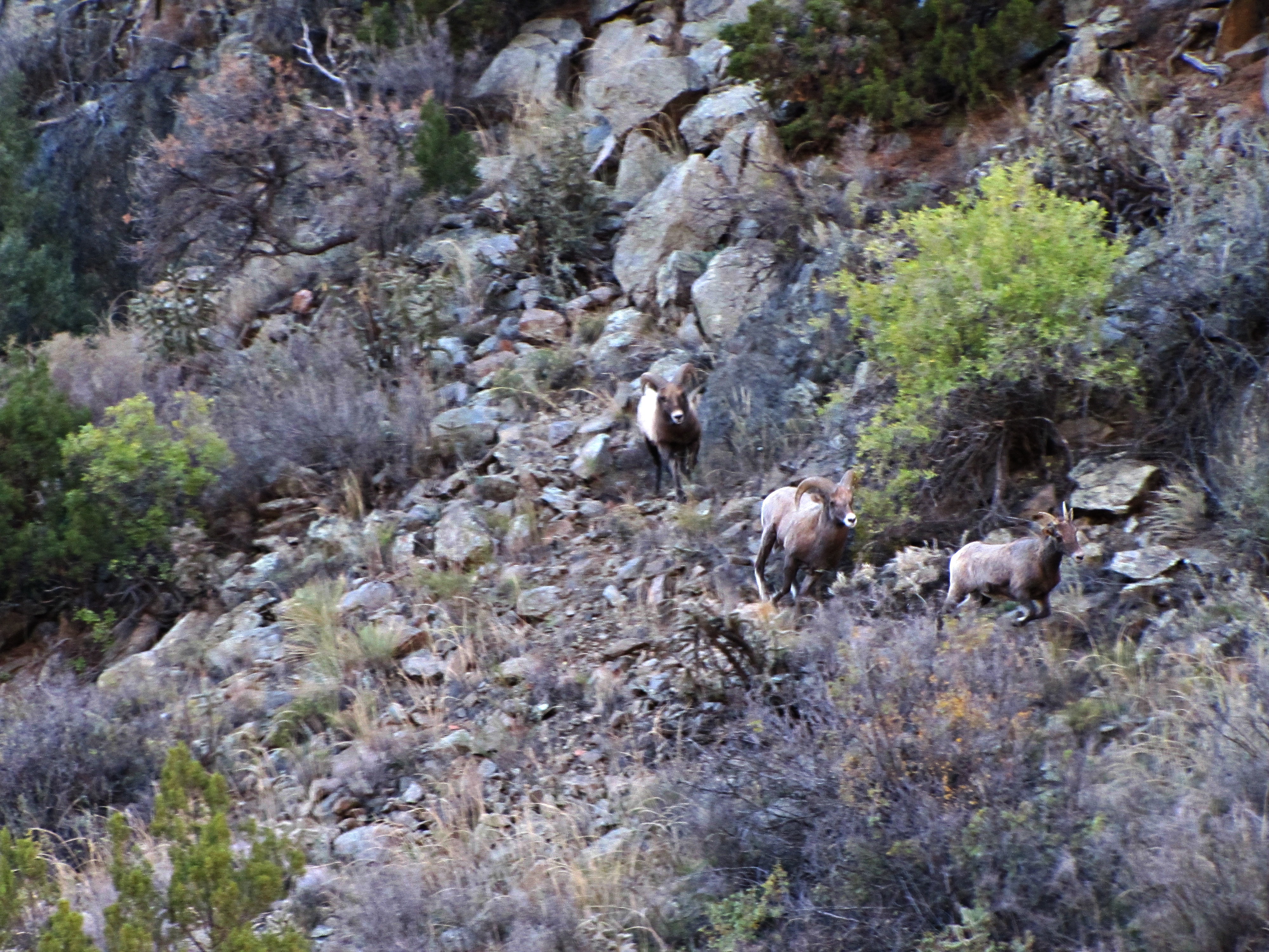
The rut (4 of 6)
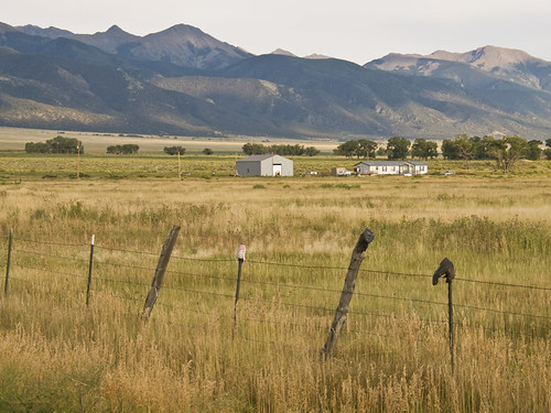
Everson Ranch
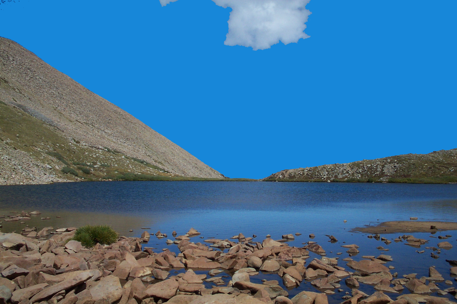
silver lake
Sangre de Cristo
+
Topographic Map of Eagle Peak, Colorado, USA
Find elevation by address:

Places near Eagle Peak, Colorado, USA:
Cottonwood Peak
Electric Peak
Gibbs Peak
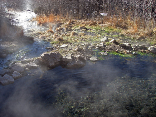
Valley View Hot Springs
CO-69, Hillside, CO, USA
Hillside
4155 Co Rd 182
1285 Chalice Dr
Oak Drive
Oak Drive
Oak Drive
Looters Lane
504 Mears Rd
1200 Corral S
Buck Mountain
1662 11th Trail
13th Trail
1526 M Path
1562 19th Trail
1139 18th Trail
Recent Searches:
- Elevation of Corso Fratelli Cairoli, 35, Macerata MC, Italy
- Elevation of Tallevast Rd, Sarasota, FL, USA
- Elevation of 4th St E, Sonoma, CA, USA
- Elevation of Black Hollow Rd, Pennsdale, PA, USA
- Elevation of Oakland Ave, Williamsport, PA, USA
- Elevation of Pedrógão Grande, Portugal
- Elevation of Klee Dr, Martinsburg, WV, USA
- Elevation of Via Roma, Pieranica CR, Italy
- Elevation of Tavkvetili Mountain, Georgia
- Elevation of Hartfords Bluff Cir, Mt Pleasant, SC, USA