Elevation of Eagle Dr NW, Stewartville, MN, USA
Location: United States > Minnesota > Olmsted County >
Longitude: -92.493230
Latitude: 43.8718025
Elevation: 374m / 1227feet
Barometric Pressure: 97KPa
Elevation Map:
Satellite Map:
Related Photos:

Warmer Days
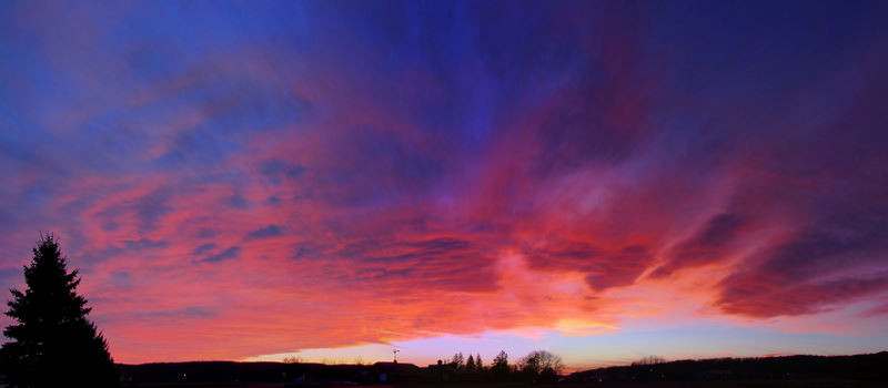
60th Ave. Sunset

∩∩∩∩∩∩∩
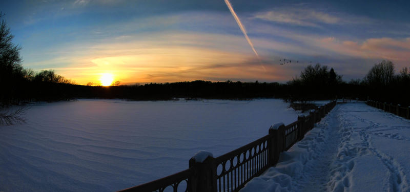
Mayowood Lake Sunset

View from Above

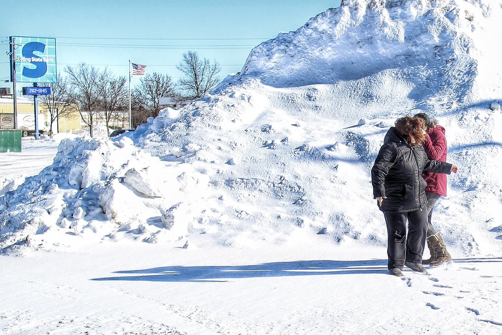
stars & stripes
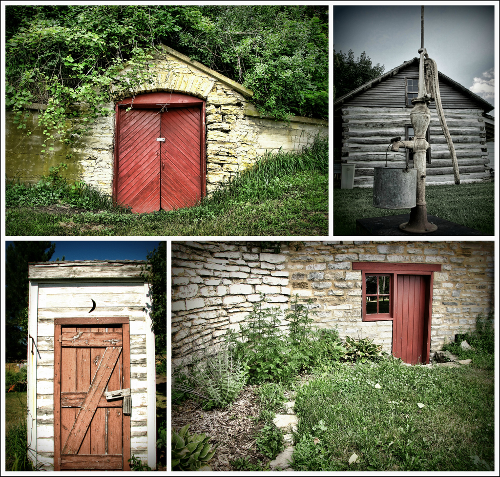
Scenes From The OCHS
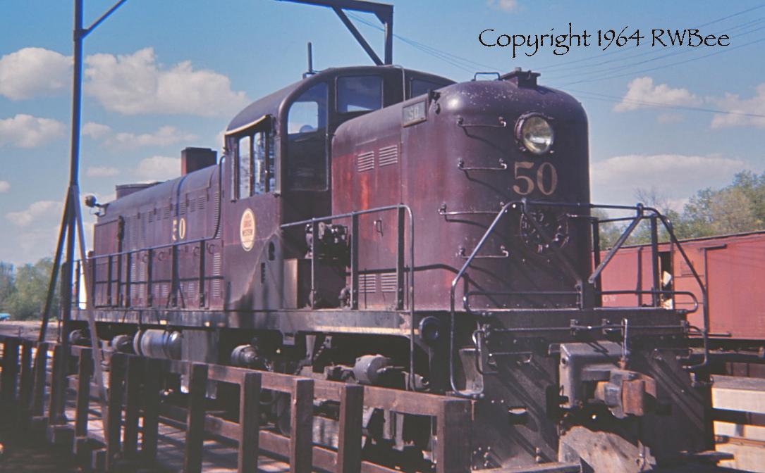
VINTAGE EKTACHROME

Screw Day 64 of 365

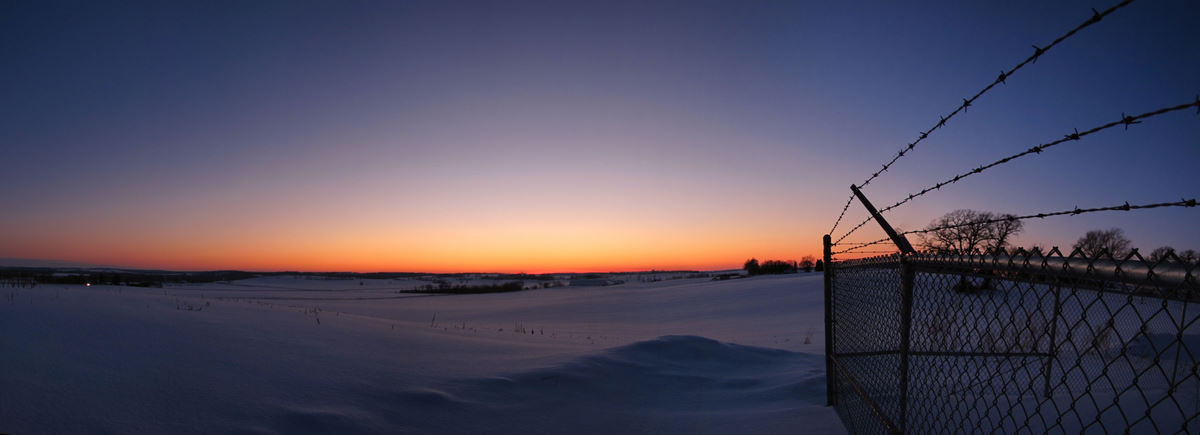
Salem Road Sundown

Wetland Wildflowers
Sunday Sunset
View from Room 248

Snappy Stop

Soldiers Field Park

Izaak Walton Wetlands

Cloud Burst

Thresher on the Hill

Memorial Day
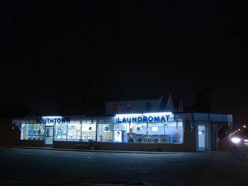
The Deserted Laundromat
School days day 2 of 365
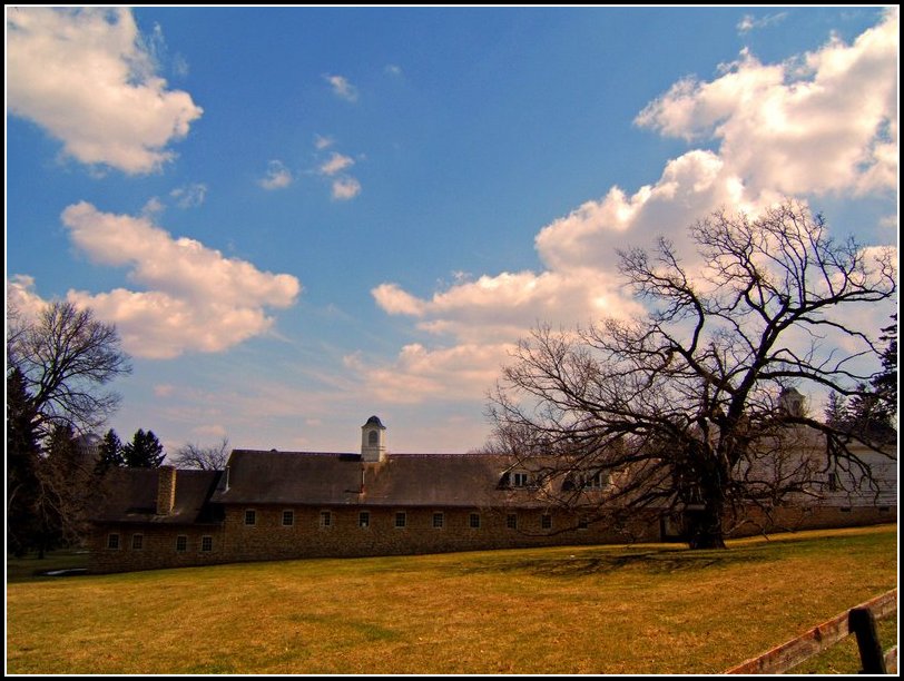
Barn, Tree, & Sky

Becky's Flowers
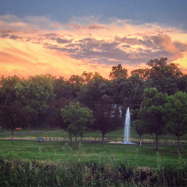
#sunset #dusk #fountain #park #run #running
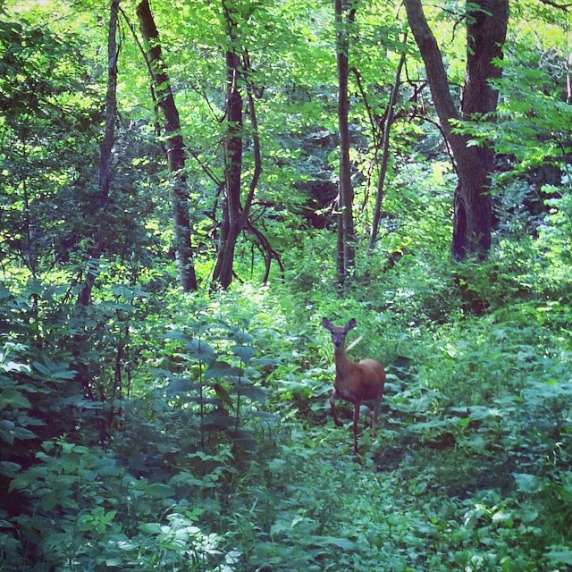
#running #run #wildlife #deer
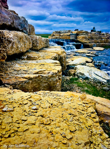
The Water Falls Mainly on the Maine
too cold to pose... -20F windchill...
...and that's a wrap. (139/365) #project365 #365
I'm listening...

Water falls @ Shoppes on Main shopping center
20071027-CRW_4253.jpg
Cub Scout camp - heading to storm shelters. Can someone close my tent please.

A fountain in the lower garden of the Plummer House
Topographic Map of Eagle Dr NW, Stewartville, MN, USA
Find elevation by address:

Places near Eagle Dr NW, Stewartville, MN, USA:
311 2nd St Sw
Stewartville
31 85th St SE, Rochester, MN, USA
High Forest Township
1067 Autumn Woods Cir Sw
Stoddard St SW, Stewartville, MN, USA
40th Street Southwest
Rochester Township
305 28th St Se
Mayowood Hills
8101 Maple Valley Rd Se
2533 Hawk Hill Ln Sw
Mower Fillmore Rd, Racine, MN, USA
3100 Mayowood Hills Dr Sw
3304 Mayowood Rd Sw
3365 Mayowood Rd Sw
1734 Lakeview Dr Sw
1744 Lakeview Dr Sw
1332 4th Ave Sw
Rochester
Recent Searches:
- Elevation of Co Rd 87, Jamestown, CO, USA
- Elevation of Tenjo, Cundinamarca, Colombia
- Elevation of Côte-des-Neiges, Montreal, QC H4A 3J6, Canada
- Elevation of Bobcat Dr, Helena, MT, USA
- Elevation of Zu den Ihlowbergen, Althüttendorf, Germany
- Elevation of Badaber, Peshawar, Khyber Pakhtunkhwa, Pakistan
- Elevation of SE Heron Loop, Lincoln City, OR, USA
- Elevation of Slanický ostrov, 01 Námestovo, Slovakia
- Elevation of Spaceport America, Co Rd A, Truth or Consequences, NM, USA
- Elevation of Warwick, RI, USA