Elevation of E Wilke Rd, Holton, MI, USA
Location: United States > Michigan > Oceana County > Greenwood Township >
Longitude: -86.097221
Latitude: 43.5114667
Elevation: 215m / 705feet
Barometric Pressure: 99KPa
Elevation Map:
Satellite Map:
Related Photos:

Early Morning Lake Haze

And disc golf

Perfect day

B29CC8DF-292F-4F2D-8392-672A71FE7A27
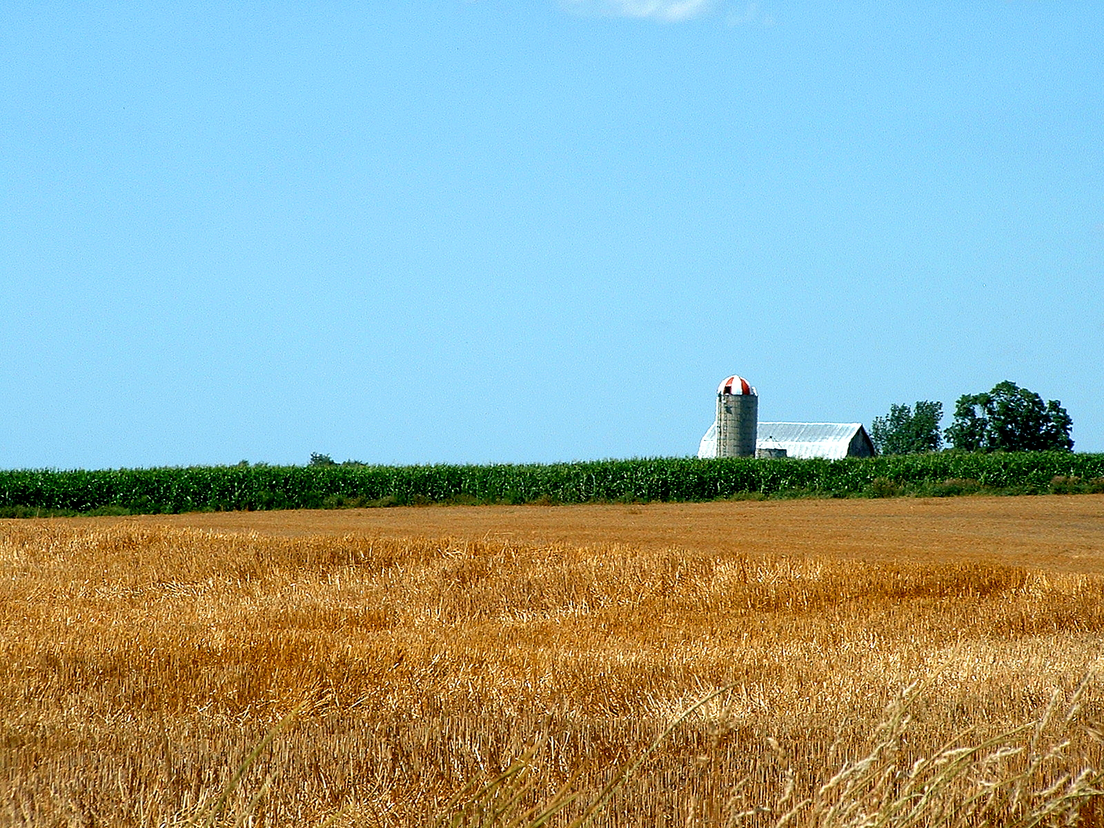
Farm 1

Labor Day Weekend 020

Labor Day Weekend 017

Labor Day Weekend 034

Labor Day Weekend 018

July-Aug2010 021

20year 004

Labor Day Weekend 065

Labor Day Weekend 019

Labor Day Weekend 037

Labor Day Weekend 045

Labor Day Weekend 050

Labor Day Weekend 014
Labor Day Weekend 078

Labor Day Weekend 093

Labor Day Weekend 011

Labor Day Weekend 071
Topographic Map of E Wilke Rd, Holton, MI, USA
Find elevation by address:

Places near E Wilke Rd, Holton, MI, USA:
Greenwood Township
Holton Township
29 E Adams Rd
6048 Syers Rd
6049 Syers Rd
Holton
Dayton Township
Holton Gun & Bow Club
2252 E Arthur Rd
2252 E Arthur Rd
Otto Township
Fremont
332 Birch St
5847 Staple Rd
W th St, Grant, MI, USA
Dalton Township
Muskegon County
Grant Township
869 West Michillinda Rd
Whitehall Township
Recent Searches:
- Elevation of Congressional Dr, Stevensville, MD, USA
- Elevation of Bellview Rd, McLean, VA, USA
- Elevation of Stage Island Rd, Chatham, MA, USA
- Elevation of Shibuya Scramble Crossing, 21 Udagawacho, Shibuya City, Tokyo -, Japan
- Elevation of Jadagoniai, Kaunas District Municipality, Lithuania
- Elevation of Pagonija rock, Kranto 7-oji g. 8"N, Kaunas, Lithuania
- Elevation of Co Rd 87, Jamestown, CO, USA
- Elevation of Tenjo, Cundinamarca, Colombia
- Elevation of Côte-des-Neiges, Montreal, QC H4A 3J6, Canada
- Elevation of Bobcat Dr, Helena, MT, USA