Elevation of E Washington St, Mt Cory, OH, USA
Location: United States > Ohio > Hancock County >
Longitude: -83.822243
Latitude: 40.936413
Elevation: 248m / 814feet
Barometric Pressure: 98KPa
Elevation Map:
Satellite Map:
Related Photos:

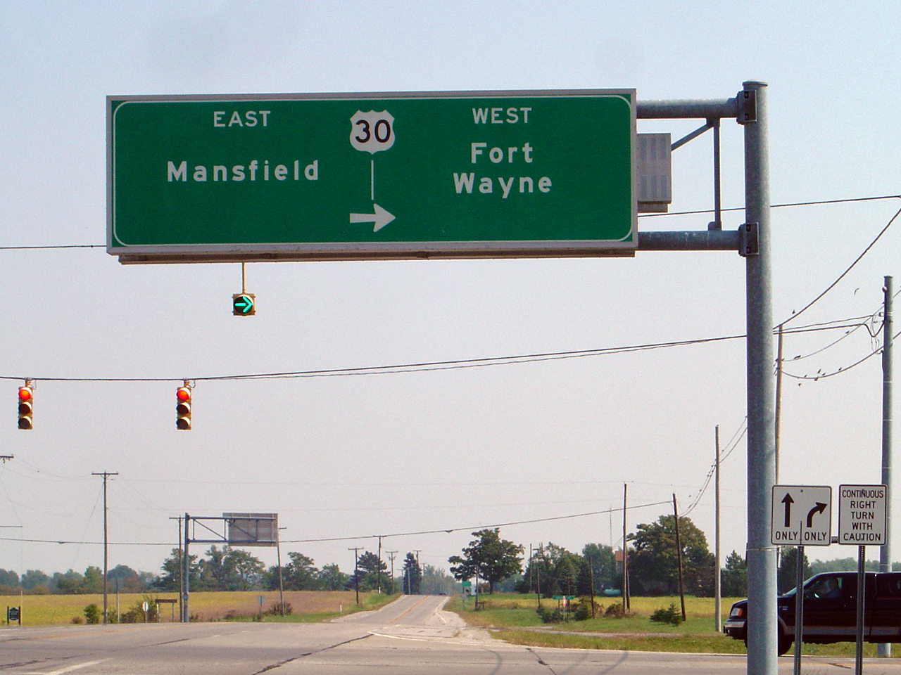
Ohio Farmlands
Story of my Life

Some pics of my landscapes

Lonely tree

Sunset over a field

The Plains

20051126-122610

CSX Q219 - Hancock, OH

20051126-124234

20060603-131336

20060603-131328

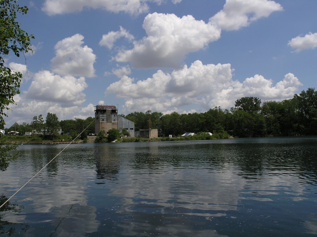
Quarry morning

geocaching with Dad

creek behind
20060603-134720

Some pics of my landscapes

20060603-131314

20060603-131420

Camp Berry - Session 1-6

Camp Berry - Session 2-8

Barn No More

aug sunset platform
Topographic Map of E Washington St, Mt Cory, OH, USA
Find elevation by address:

Places near E Washington St, Mt Cory, OH, USA:
Co Rd 12, Rawson, OH, USA
18750 Township Rd 59
Bluffton
Orange Township
Bluffton University
Jenera
Railroad St, Jenera, OH, USA
Van Buren Township
8990 Augsburger Rd
4600 Co Rd 1
5932 Us-224
Pandora
E Main St, Pandora, OH, USA
Liberty Township
14716 Rd 5n
7370 Grismore Rd
Richland Township
15336 Rd 6
County Road 31
23105 Co Rd 9
Recent Searches:
- Elevation of Dog Leg Dr, Minden, NV, USA
- Elevation of Dog Leg Dr, Minden, NV, USA
- Elevation of Kambingan Sa Pansol Atbp., Purok 7 Pansol, Candaba, Pampanga, Philippines
- Elevation of Pinewood Dr, New Bern, NC, USA
- Elevation of Mountain View, CA, USA
- Elevation of Foligno, Province of Perugia, Italy
- Elevation of Blauwestad, Netherlands
- Elevation of Bella Terra Blvd, Estero, FL, USA
- Elevation of Estates Loop, Priest River, ID, USA
- Elevation of Woodland Oak Pl, Thousand Oaks, CA, USA