Elevation of E Tonopah Trail, Benson, AZ, USA
Location: United States > Arizona > Pima County > Benson > J - Six Ranchettes >
Longitude: -110.47008
Latitude: 31.9522005
Elevation: 1268m / 4160feet
Barometric Pressure: 87KPa
Elevation Map:
Satellite Map:
Related Photos:

View of the Apron

Do the Right Thing

123/365 = Amazing Color from Rocks & Dirt-for May 03 2010

Arizona Mountains
Dragoon Mountains

View of Dragoon Mountains

Another view of the Cochise Stronghold
Another view from our highpoint

1212 View from just below the Saddle

Sunrise from New House

Vacant lot I own next to the train tracks

Pantano AZ Feb 1990

Sunset at Benson

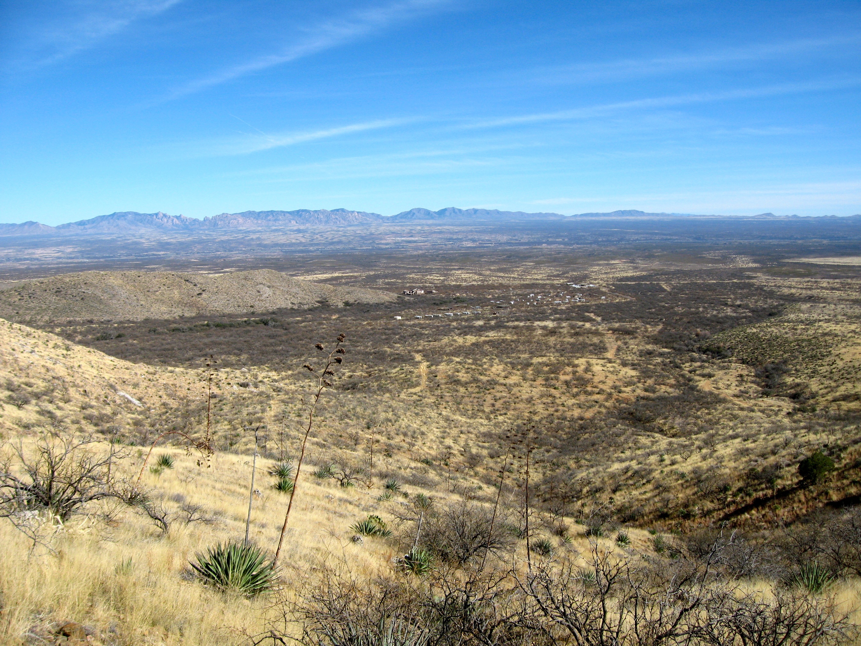
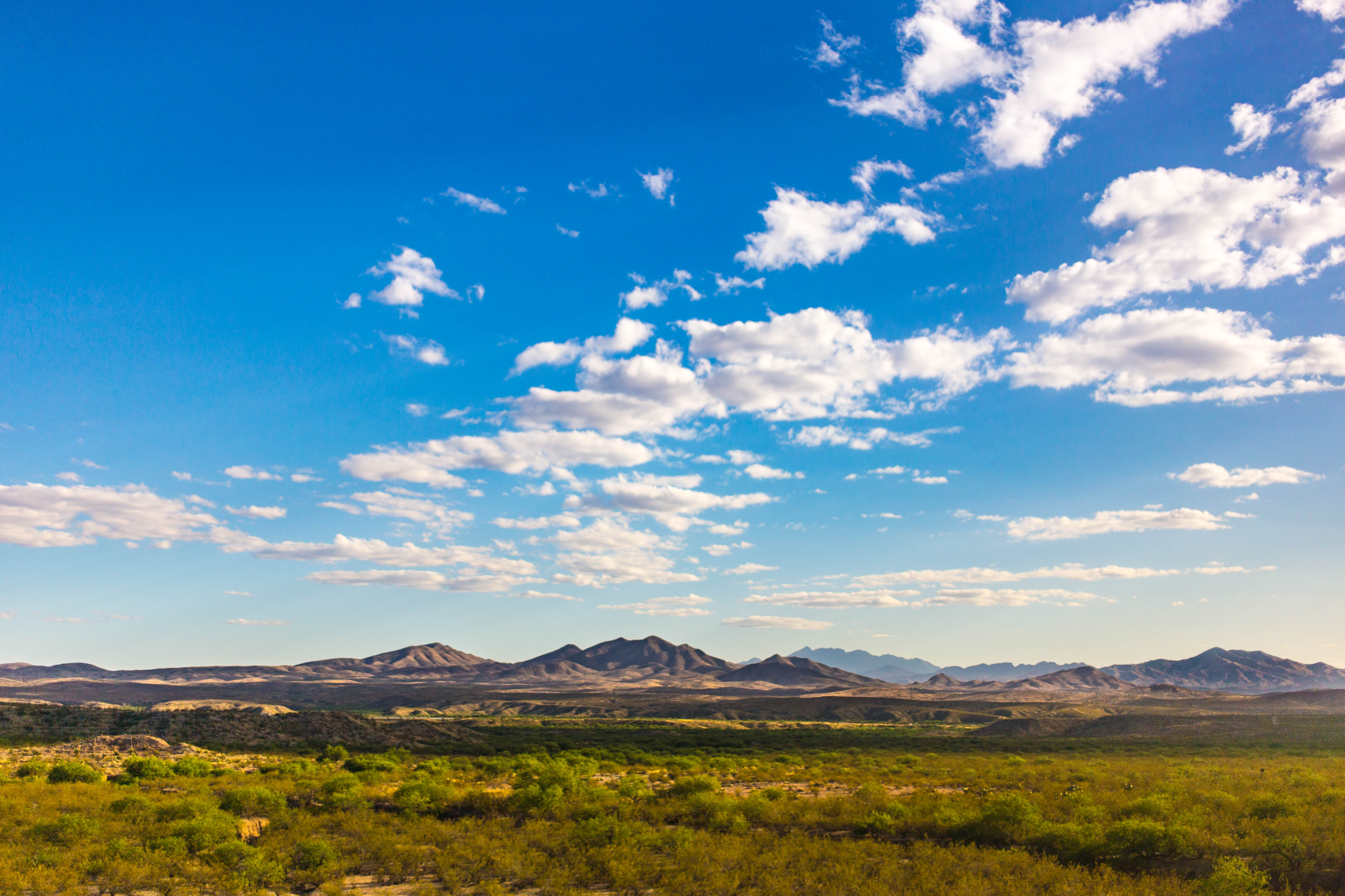
Looking into the Valley

Light on the Mountains

Snow Covered Hills

DSCF7169.jpg

Snow Flurries

SP Sunset Limited

Cloud Front
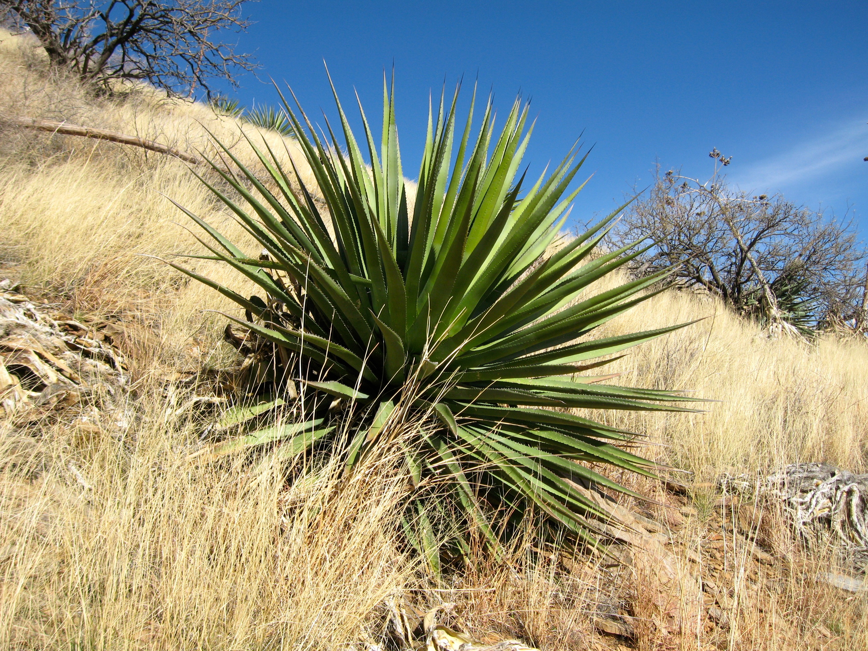
Palmer agave

Quarter Horse Motel
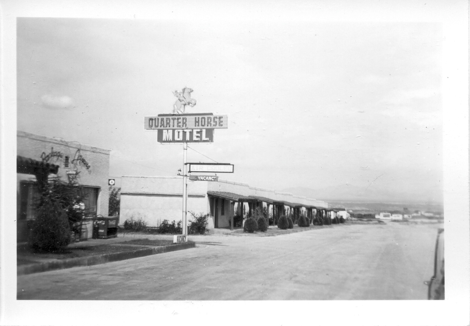
Quarter Horse Motel

Pinal Schist

124/365 = Cactus Garden Outside Benson Wendy's-for May 04 2010

Palmer agave
The American Southwest
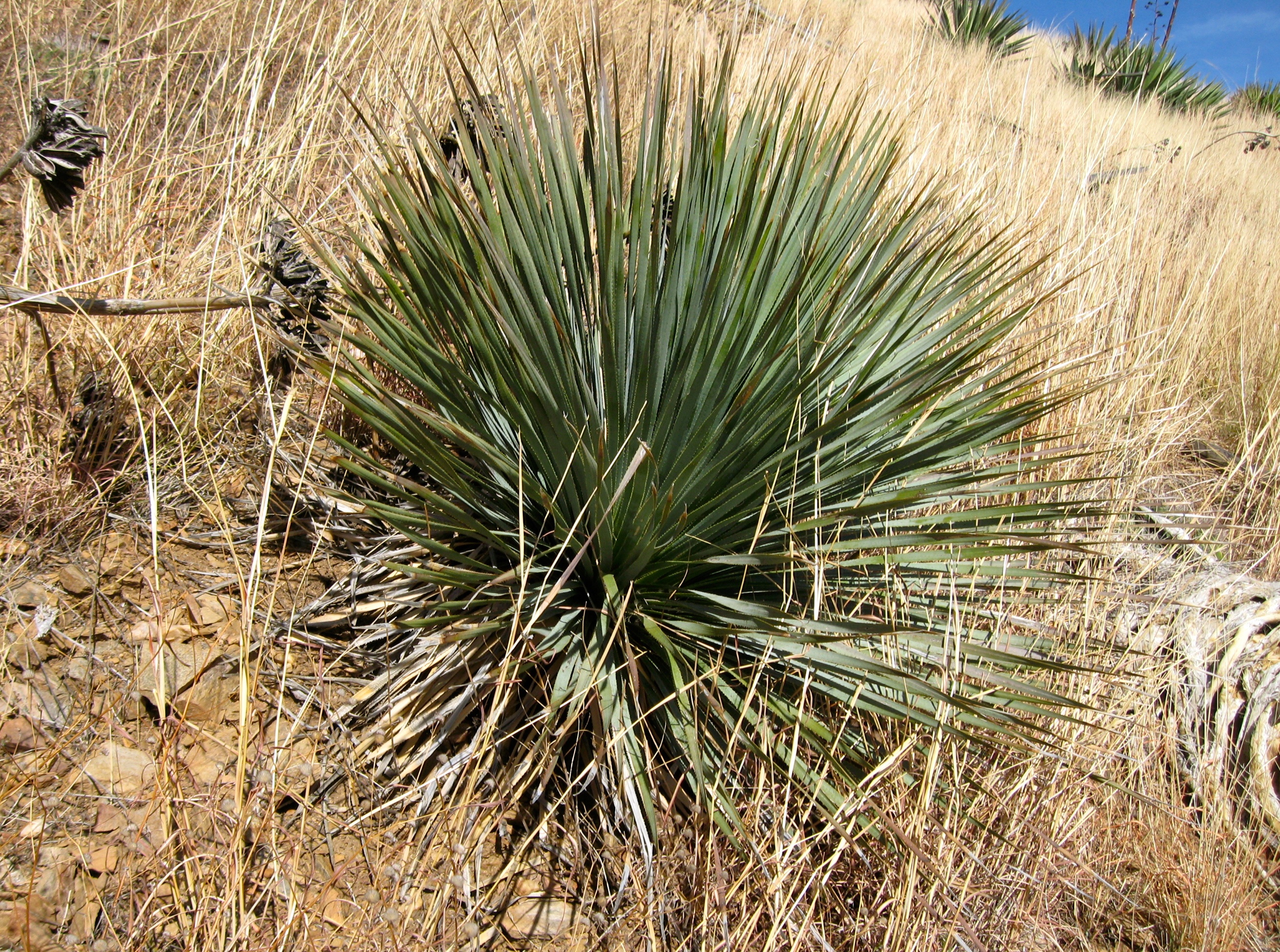
Desert spoon, or sotol
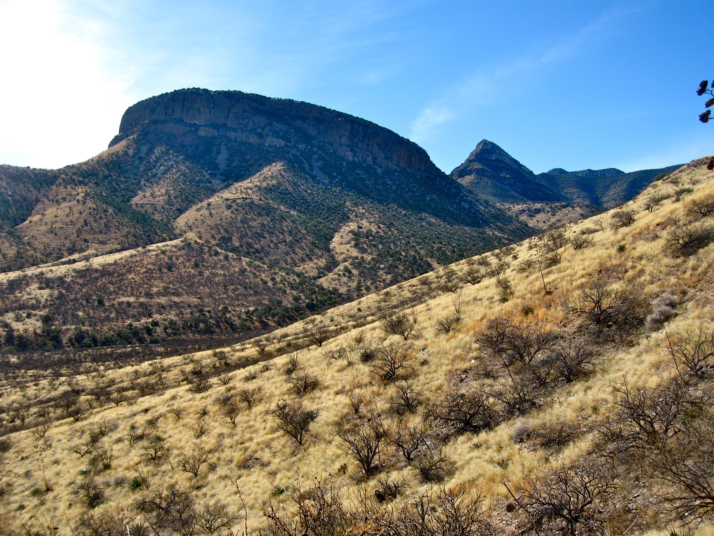
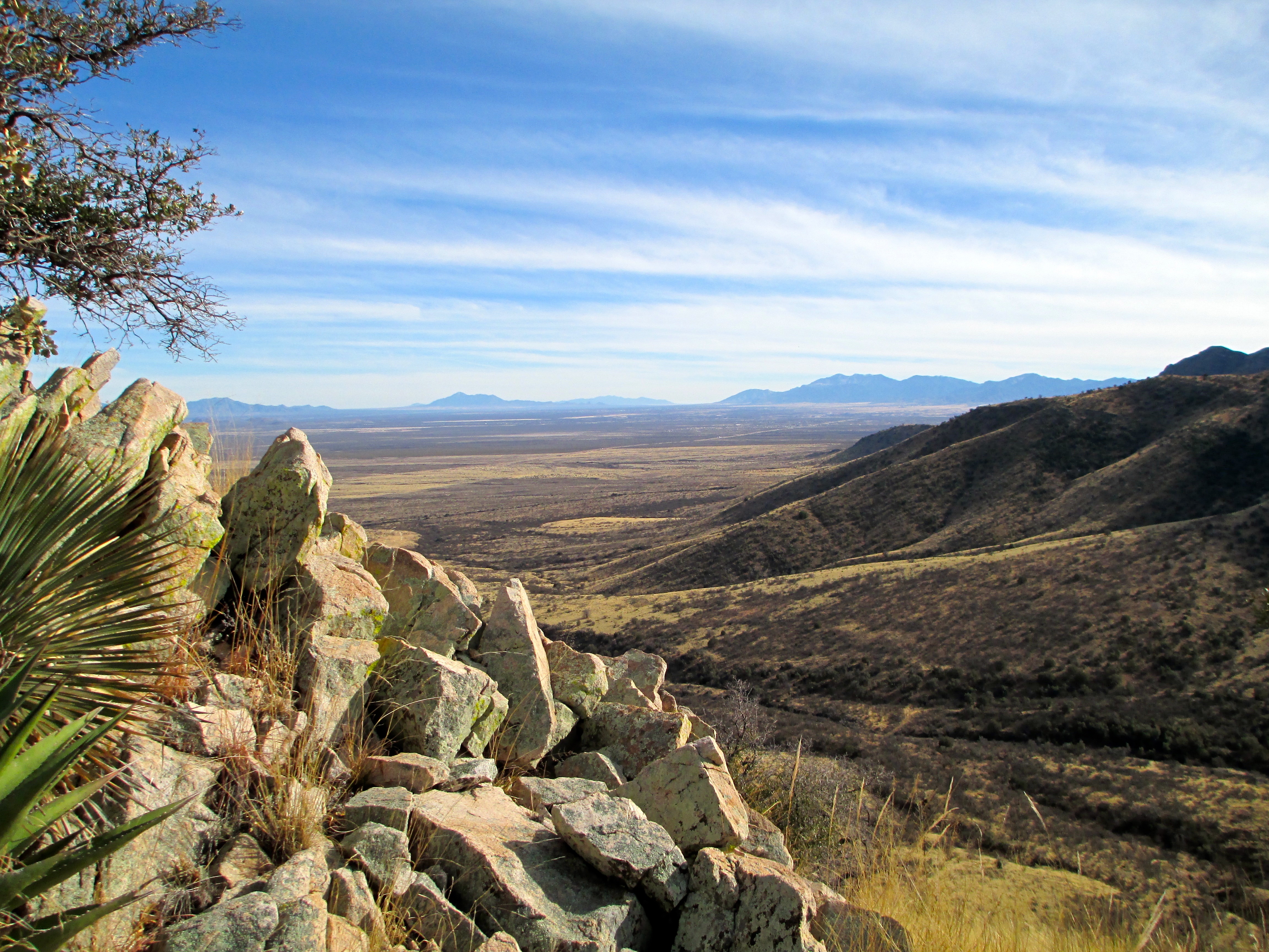
Whetstone cliffs
Topographic Map of E Tonopah Trail, Benson, AZ, USA
Find elevation by address:

Places near E Tonopah Trail, Benson, AZ, USA:
J - Six Ranchettes
25265 E Apache Trail
S Whetstone Ave, Benson, AZ, USA
16261 S Whetstone Ave
252 S Broken Arrow Ln
3349 W Jemez Pl
327 S Pima Ln
3166 W Clark Rd
300 N Dorothy Ave
West Conaway Circle
N Mescal Rd, Benson, AZ, USA
Coronado National Forest
East Hillton Ranch Road
19395 Az-83
201 N Slate Dr
1599 N Blazing Saddle Rd
825 N Drystone Ct
E Wetstones Rd, Vail, AZ, USA
17401 S Copper Collar Trail
New Tucson
Recent Searches:
- Elevation of 6 Rue Jules Ferry, Beausoleil, France
- Elevation of Sattva Horizon, 4JC6+G9P, Vinayak Nagar, Kattigenahalli, Bengaluru, Karnataka, India
- Elevation of Great Brook Sports, Gold Star Hwy, Groton, CT, USA
- Elevation of 10 Mountain Laurels Dr, Nashua, NH, USA
- Elevation of 16 Gilboa Ln, Nashua, NH, USA
- Elevation of Laurel Rd, Townsend, TN, USA
- Elevation of 3 Nestling Wood Dr, Long Valley, NJ, USA
- Elevation of Ilungu, Tanzania
- Elevation of Yellow Springs Road, Yellow Springs Rd, Chester Springs, PA, USA
- Elevation of Rēzekne Municipality, Latvia