Elevation of E S, Sandy, UT, USA
Location: United States > Utah > Salt Lake County > Sandy >
Longitude: -111.87026
Latitude: 40.604205
Elevation: 1369m / 4491feet
Barometric Pressure: 86KPa
Elevation Map:
Satellite Map:
Related Photos:
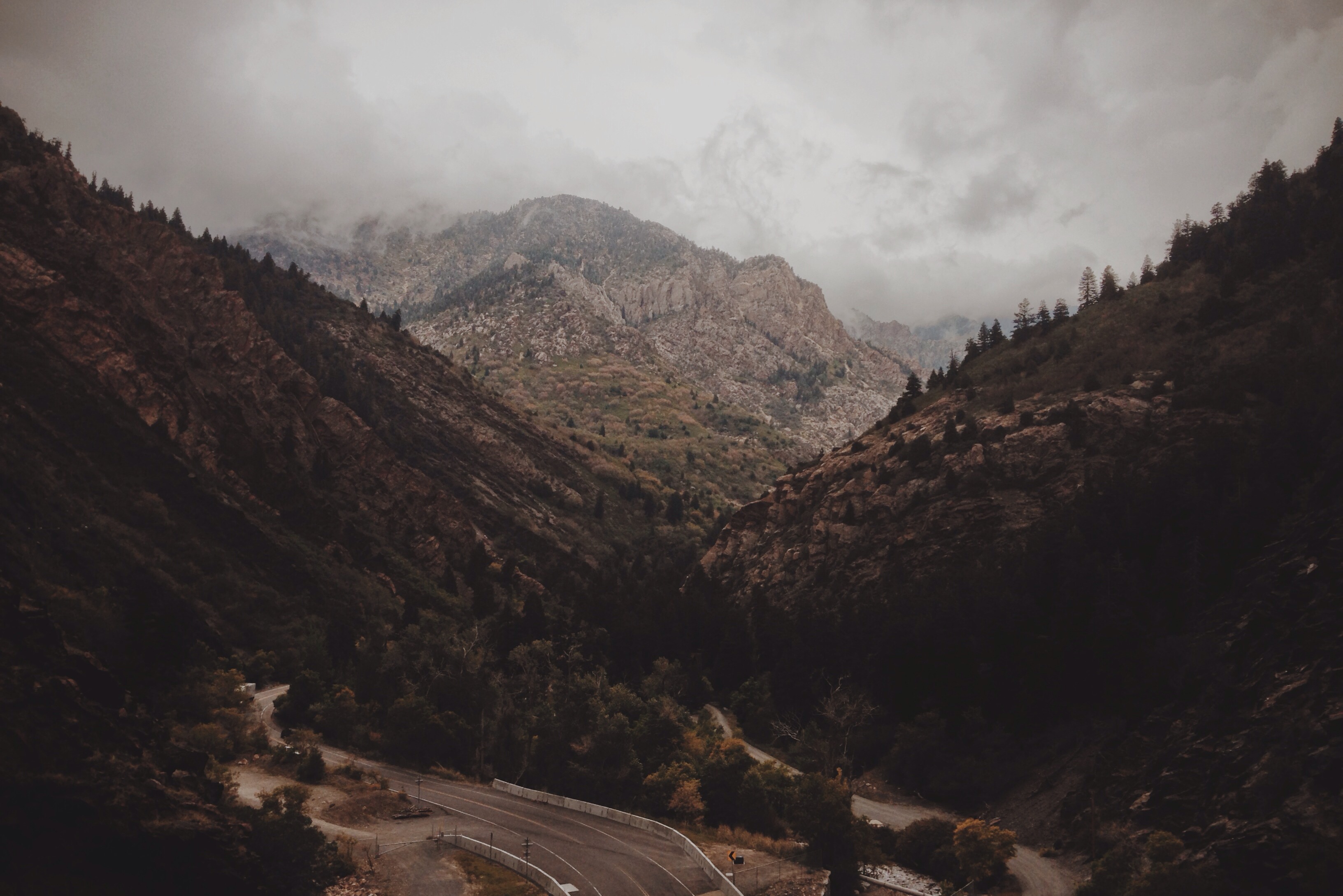
Little Cottonwood

23/365 Into the Darkness: Walking

Spotter: "Over, 5 right." FCO: "Left 20, drop 50, fire for effect!" [Explored]
Chief Wasatch In Murray Park

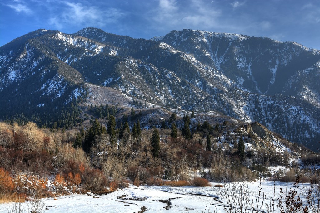
View up the Mouth of LIttle Cottonwood Canyon
"Why a duck?"

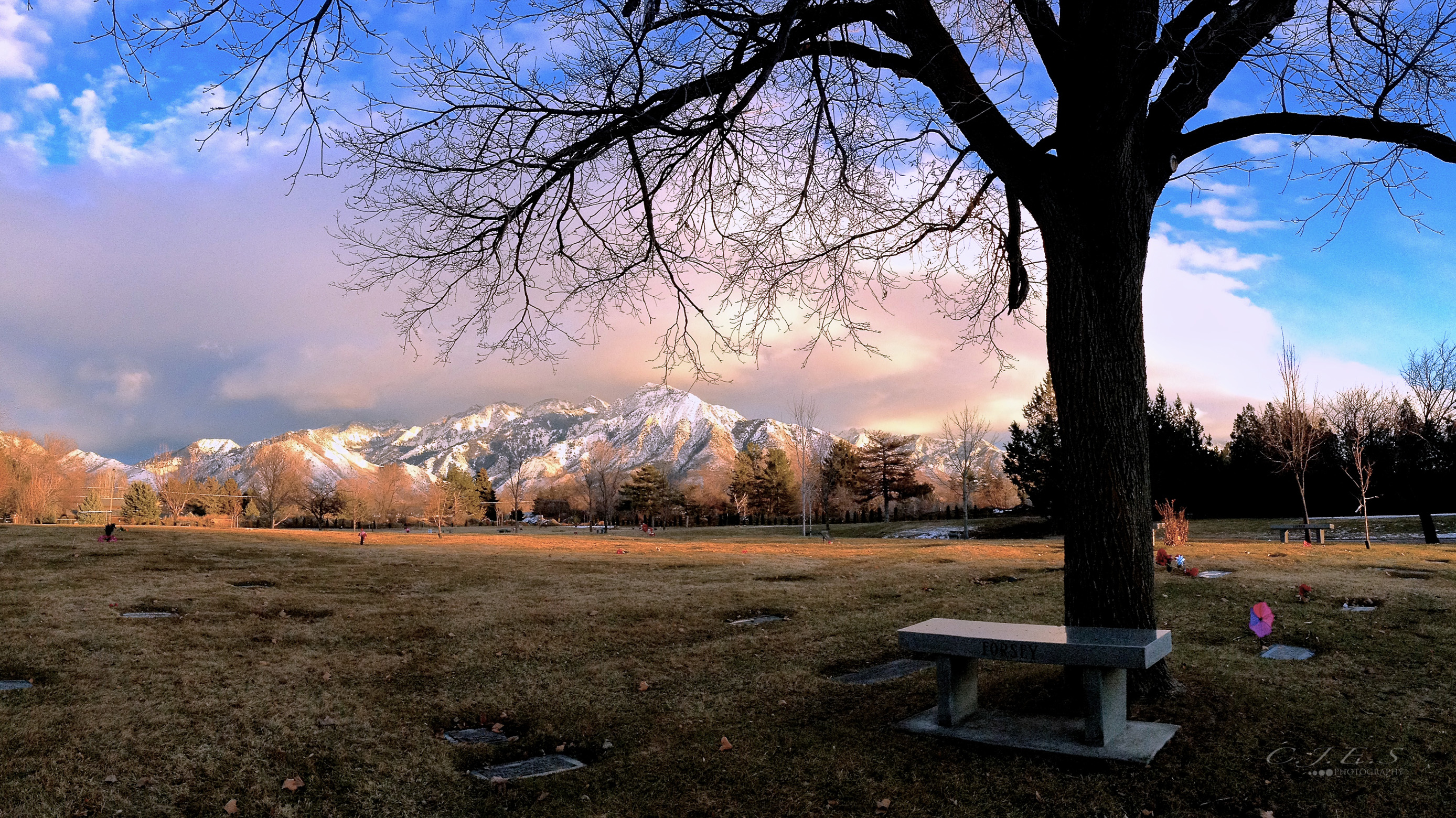
View from Cottonwood Heights

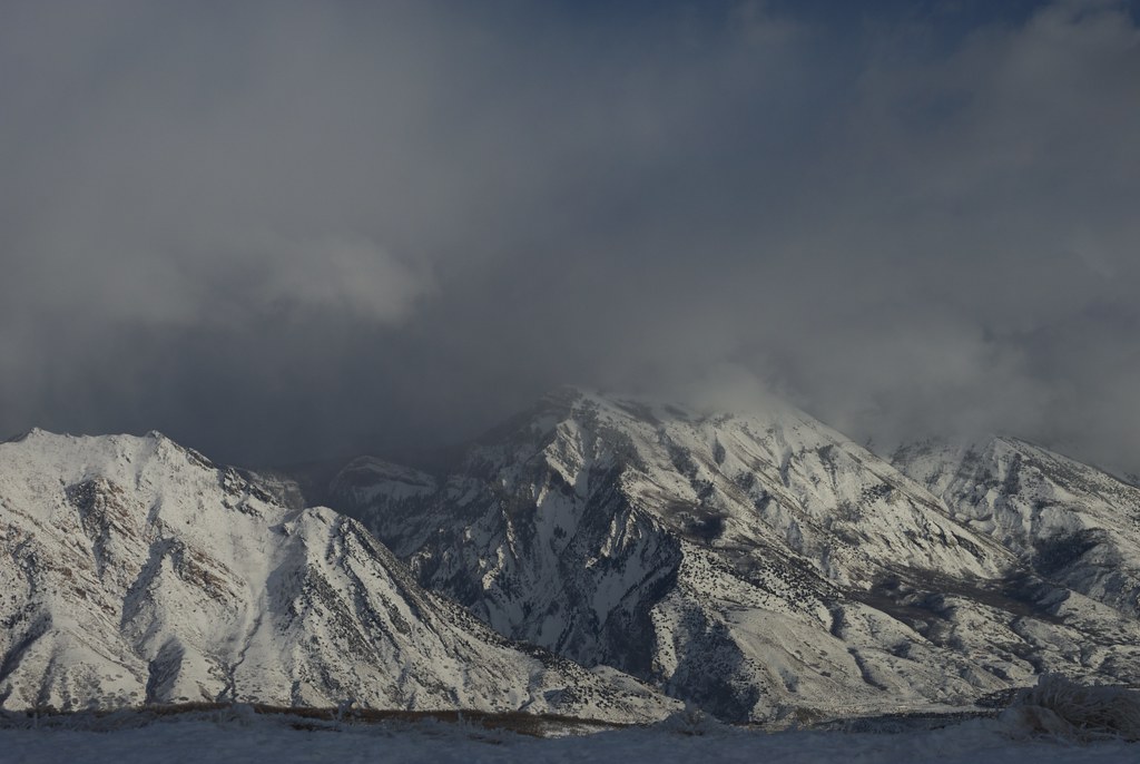
View from Mouth of LIttle Cottonwood Canyon
The Swan
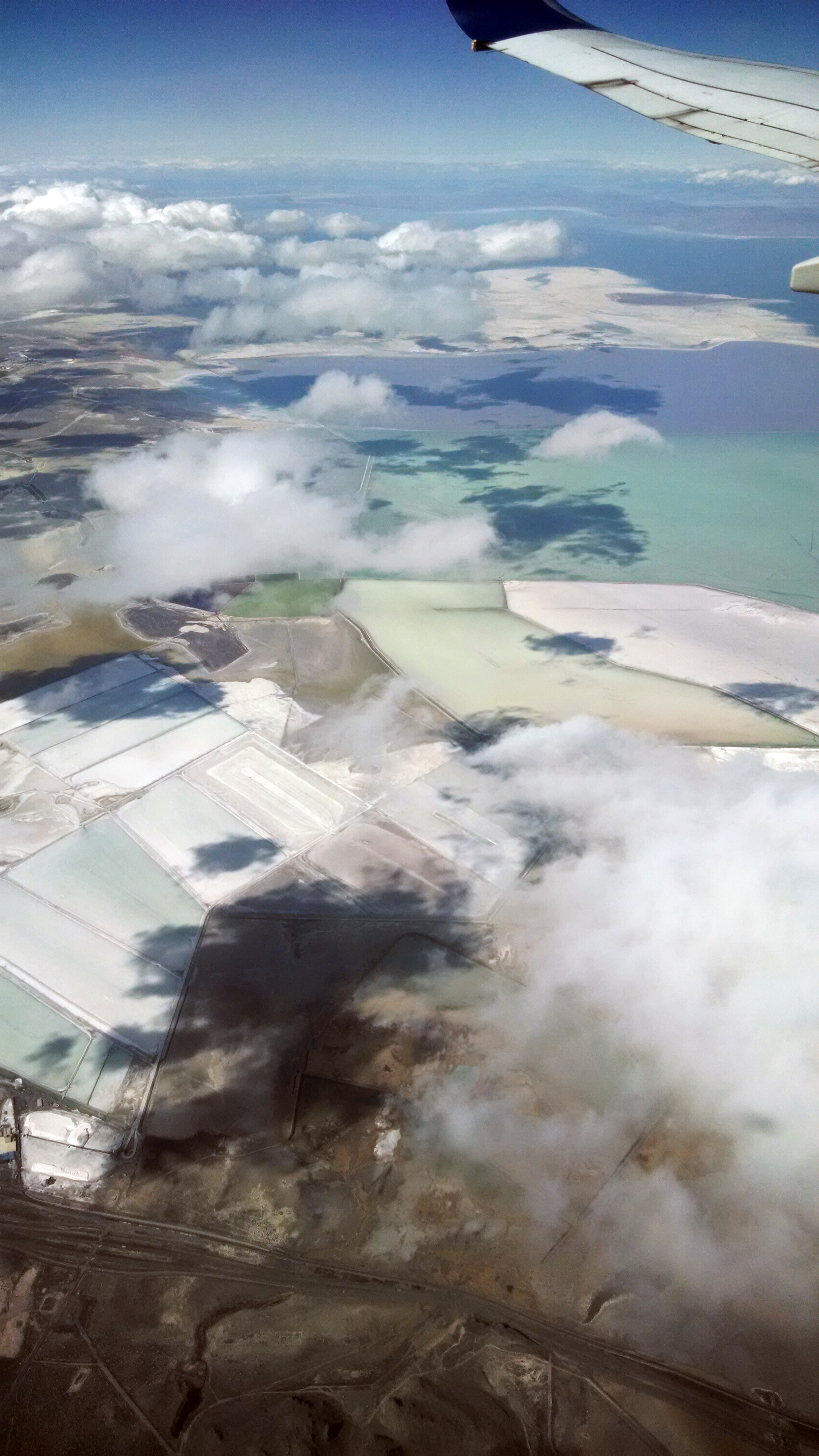
Salt Lake City from the air

View from South Mountain
time study #2

State Route 175 / 114th South

View from Mouth of LIttle Cottonwood Canyon

View from Mouth of LIttle Cottonwood Canyon

View from Cottonwood Heights

View from Mouth of LIttle Cottonwood Canyon

View from Mouth of LIttle Cottonwood Canyon

Majestic Draper Temple at Blue Hour
Fields For Furrows

The killer view
20150127-_JBS8307
Lower Bell Canyon Reservoir

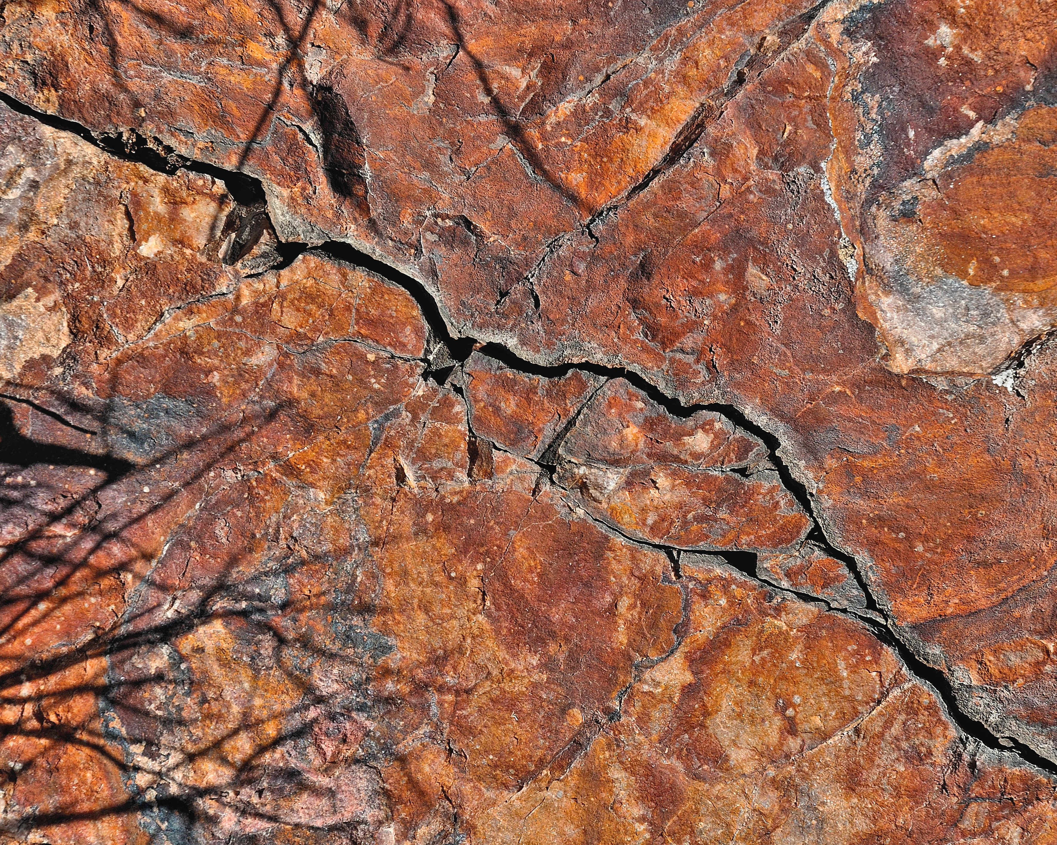
Endless Fracture Formative

Pieces Of My Shattered Mirror
Dissociation Station
" Old Souls "

LDS Temple Spire

A Throne for the Solitary

stream - Millcreek Canyon - 9-03-08 01
A farewell to the sun, and a welcome to the dark day. [to see more of my mobile photography using iPhone, check out my Instagram :: @jordan_is]

The Wasatch Life [Big Cottonwood Canyon, Utah]
Panorama of Lake Blanche

the Fog goes on

You Cannot Hide In The Sky
Wintery Wasatch - Salt Lake City, Utah
The Wasatch Life [Big Cottonwood Canyon, Utah]
Stair Of The Grain

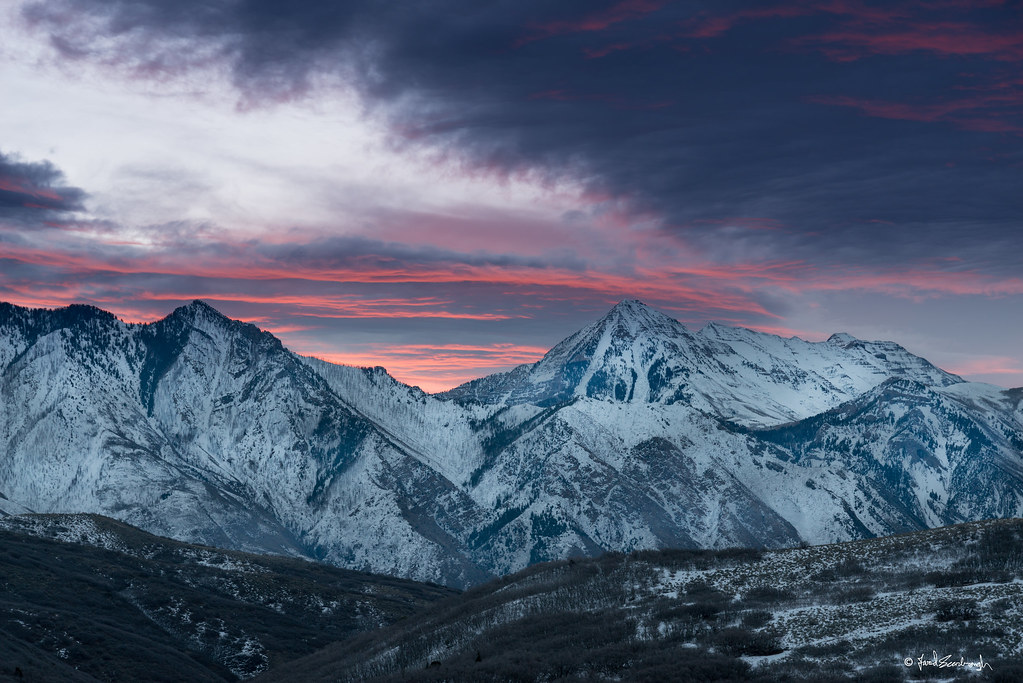
Moonrise over Wasatch Mountains, Utah
Topographic Map of E S, Sandy, UT, USA
Find elevation by address:

Places near E S, Sandy, UT, USA:
742 Village Way
329 Old Sandy Ct
8956 Ledge Stone Dr
1091 Garden Bend Pl
1575 E 8425 S
9046 S 1300 E
9385 S Sneddon Dr
834 E 9400 S
8034 S 1715 E
Sandy Senior Citizens Center
8152 S 1715 E
9350 S 1300 E
8871 S 1700 E
1720 Misty Meadow Cir
9218 Sterling Dr
9660 1300 E
9765 Mumford Dr
9757 S 1210 E
1353 Indian Ridge Cir
10600 S 300 E
Recent Searches:
- Elevation of Congressional Dr, Stevensville, MD, USA
- Elevation of Bellview Rd, McLean, VA, USA
- Elevation of Stage Island Rd, Chatham, MA, USA
- Elevation of Shibuya Scramble Crossing, 21 Udagawacho, Shibuya City, Tokyo -, Japan
- Elevation of Jadagoniai, Kaunas District Municipality, Lithuania
- Elevation of Pagonija rock, Kranto 7-oji g. 8"N, Kaunas, Lithuania
- Elevation of Co Rd 87, Jamestown, CO, USA
- Elevation of Tenjo, Cundinamarca, Colombia
- Elevation of Côte-des-Neiges, Montreal, QC H4A 3J6, Canada
- Elevation of Bobcat Dr, Helena, MT, USA