Elevation of E S, Bluffton, IN, USA
Location: United States > Indiana > Wells County > Nottingham Township >
Longitude: -85.089633
Latitude: 40.611999
Elevation: 259m / 850feet
Barometric Pressure: 98KPa
Elevation Map:
Satellite Map:
Related Photos:
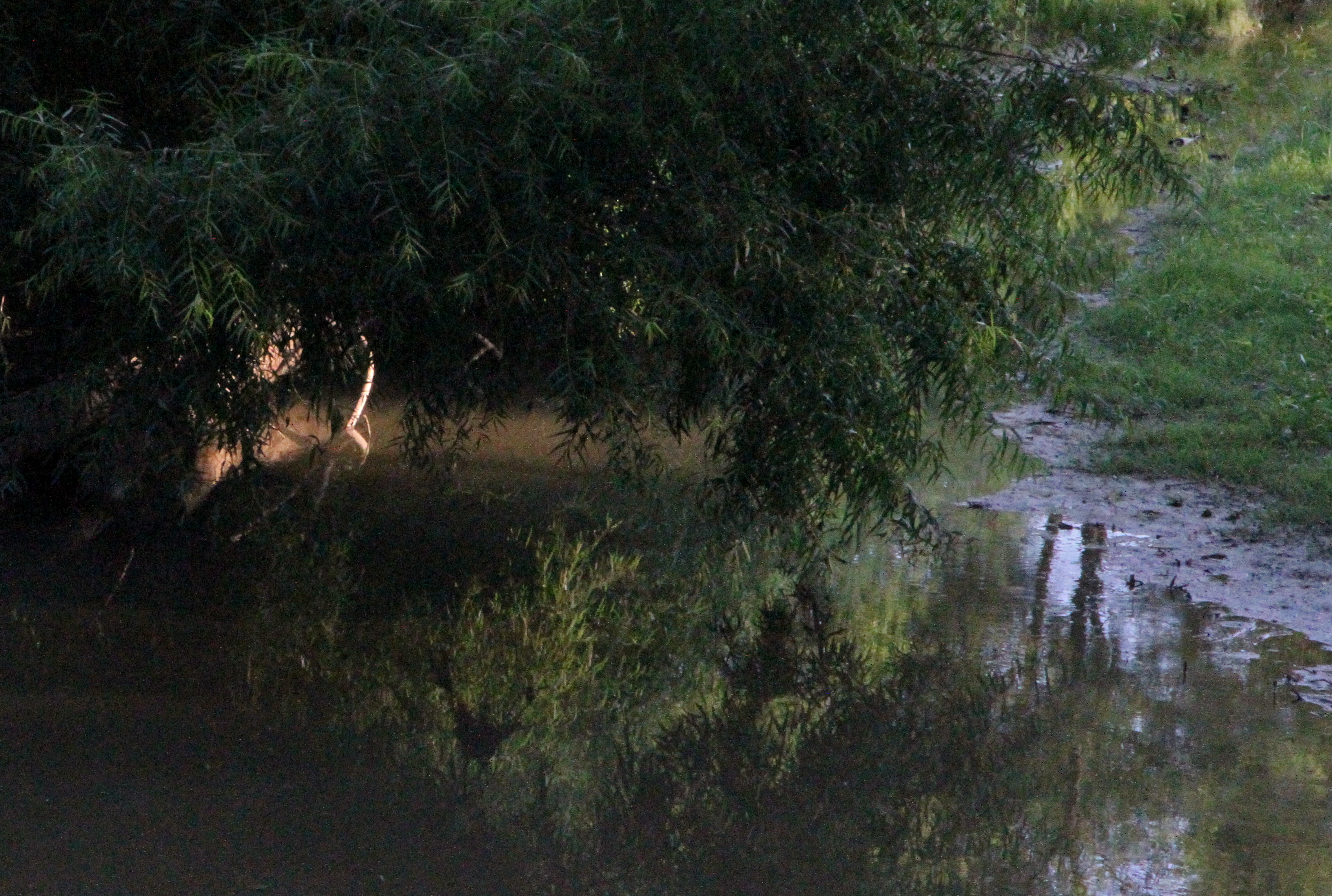
Limberlost Creek

Wabash River
Ouabache SP

Skull-Face
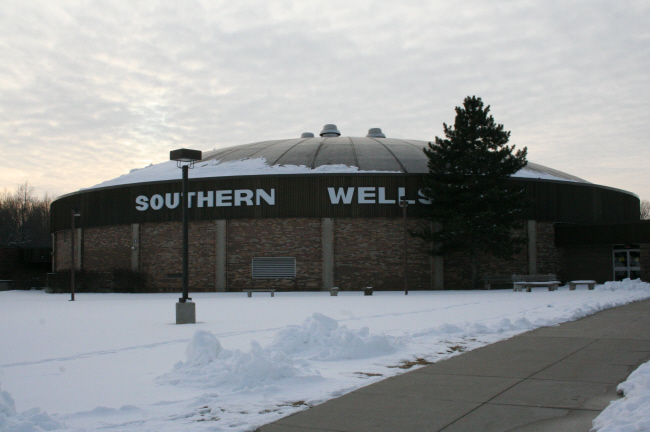
Southern Wells Gym

Twin Hills 1910

shadow's view
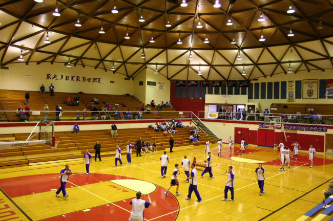
Southern Wells High School Gym

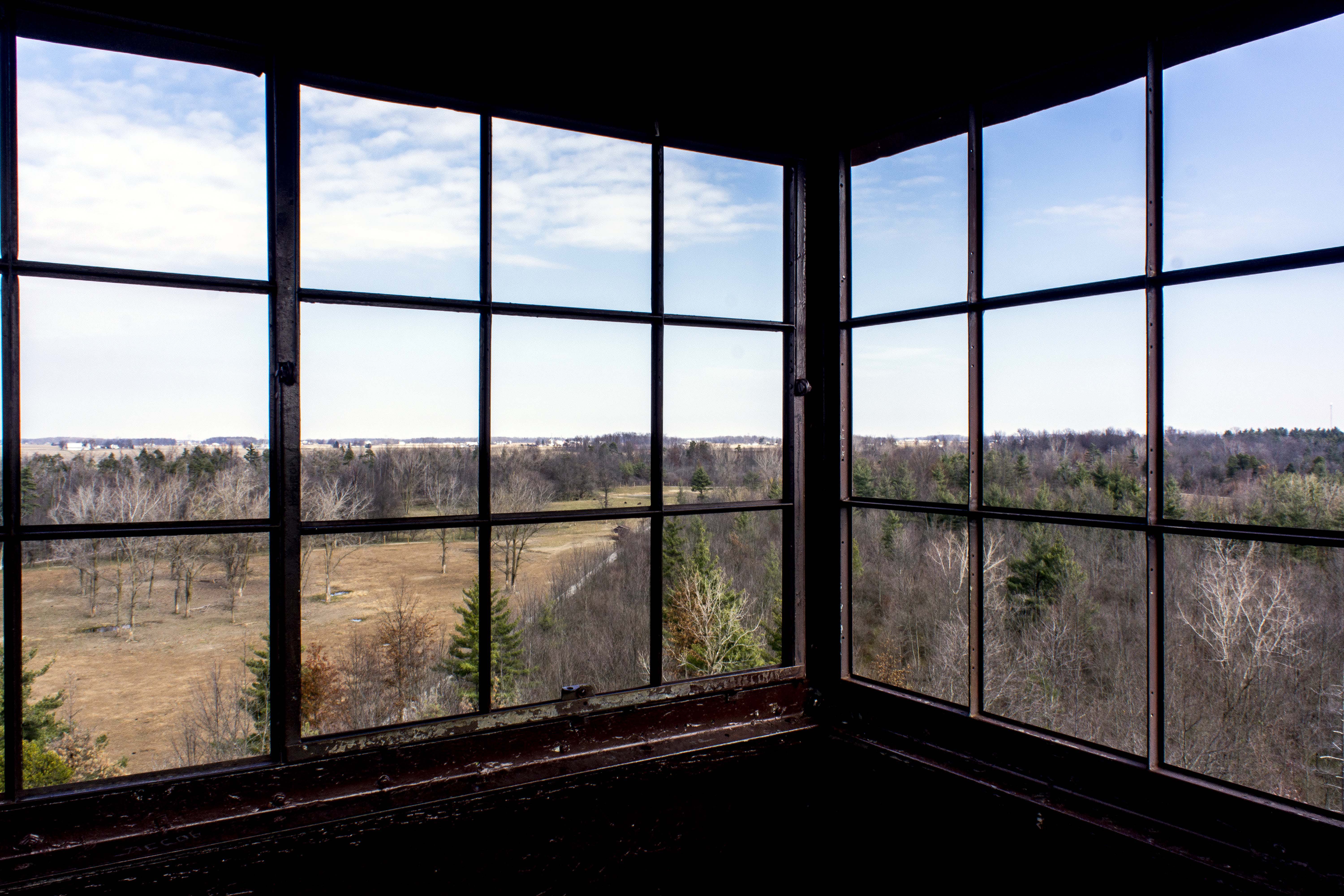
View from the Altar
Wabash River, Bluffton
Fall Color

Photo Sep 01, 7 30 24 PM
Ouabache State Park Fire Tower Panorama 1
Field Next to Wabash River, Bluffton IN

Poneto Sunset

Wabash River, Bluffton IN

Snipe?
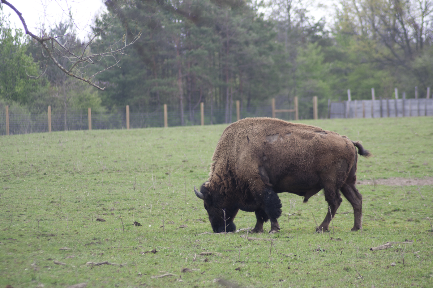
Quabache Buffalo 1

Clouds!
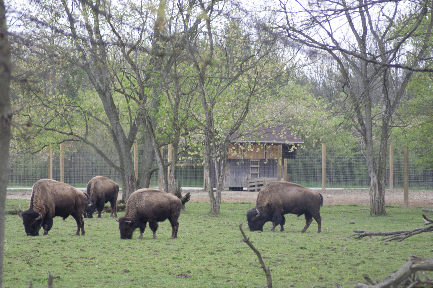
Grazing Buffalo
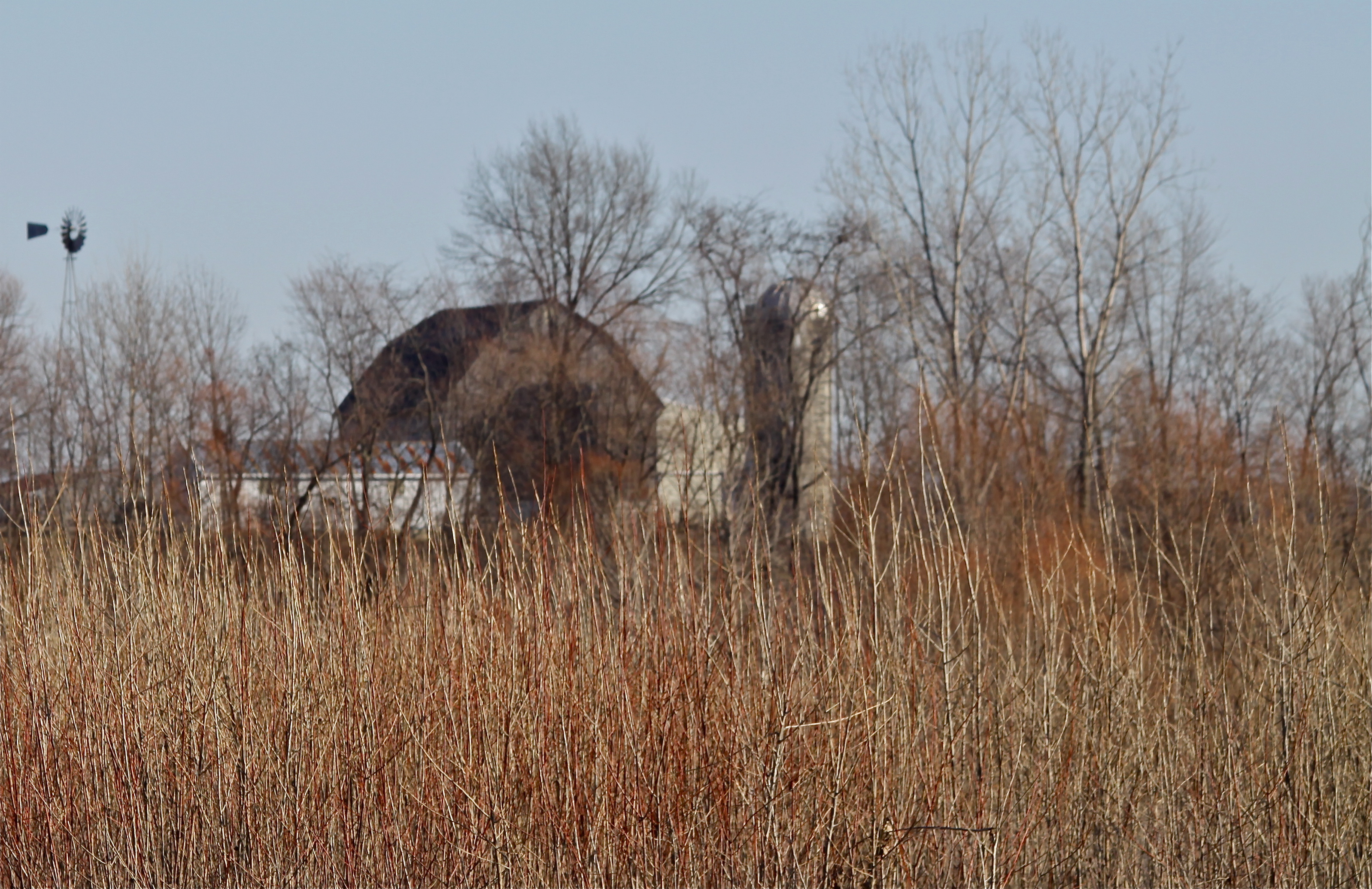
Rainbow Bottom Farm

Linn Grove
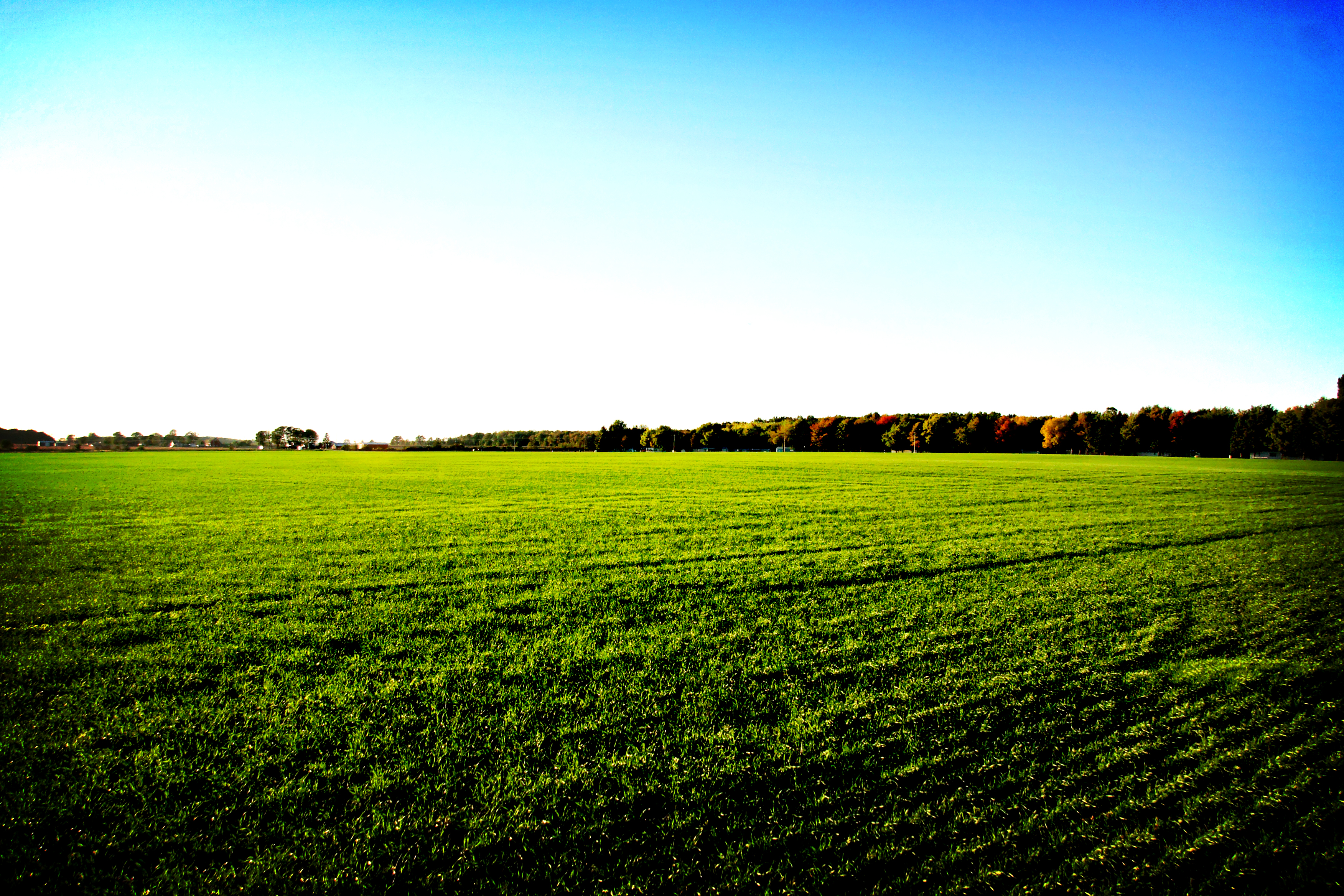
Field of Green
Topographic Map of E S, Bluffton, IN, USA
Find elevation by address:

Places near E S, Bluffton, IN, USA:
Petroleum
IN-1, Petroleum, IN, USA
IN-1, Bluffton, IN, USA
SE Mulberry St, Bluffton, IN, USA
Harrison Township
1332 Ridgewood Ln
Poneto
9 W Walnut St, Poneto, IN, USA
Hoosier Hwy, Bluffton, IN, USA
Bluffton
3406 Meridian Rd
Wells County
W Cherry St, Liberty Center, IN, USA
Liberty Center
Liberty Township
S W, Warren, IN, USA
N W, Bluffton, IN, USA
8545 Se Jeff Rd-90
S E, Warren, IN, USA
Salamonie Township
Recent Searches:
- Elevation of Unnamed Road, Respublika Severnaya Osetiya — Alaniya, Russia
- Elevation of Verkhny Fiagdon, North Ossetia–Alania Republic, Russia
- Elevation of F. Viola Hiway, San Rafael, Bulacan, Philippines
- Elevation of Herbage Dr, Gulfport, MS, USA
- Elevation of Lilac Cir, Haldimand, ON N3W 2G9, Canada
- Elevation of Harrod Branch Road, Harrod Branch Rd, Kentucky, USA
- Elevation of Wyndham Grand Barbados Sam Lords Castle All Inclusive Resort, End of Belair Road, Long Bay, Bridgetown Barbados
- Elevation of Iga Trl, Maggie Valley, NC, USA
- Elevation of N Co Rd 31D, Loveland, CO, USA
- Elevation of Lindever Ln, Palmetto, FL, USA