Elevation of E Riverside Dr, St George, UT, USA
Location: United States > Utah > Washington County > St. George >
Longitude: -113.52500
Latitude: 37.106475
Elevation: 797m / 2615feet
Barometric Pressure: 92KPa
Elevation Map:
Satellite Map:
Related Photos:

Morning walk

Moving Light

"Freedom Reigns" was created on my recent trip to NYC and it stands as a tribute to the tenacity and resilience of the people of NYC and America.

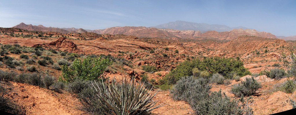
Snow Canyon, Utah

Sunrise over SunRiver

Desert Drive
a place to get lost
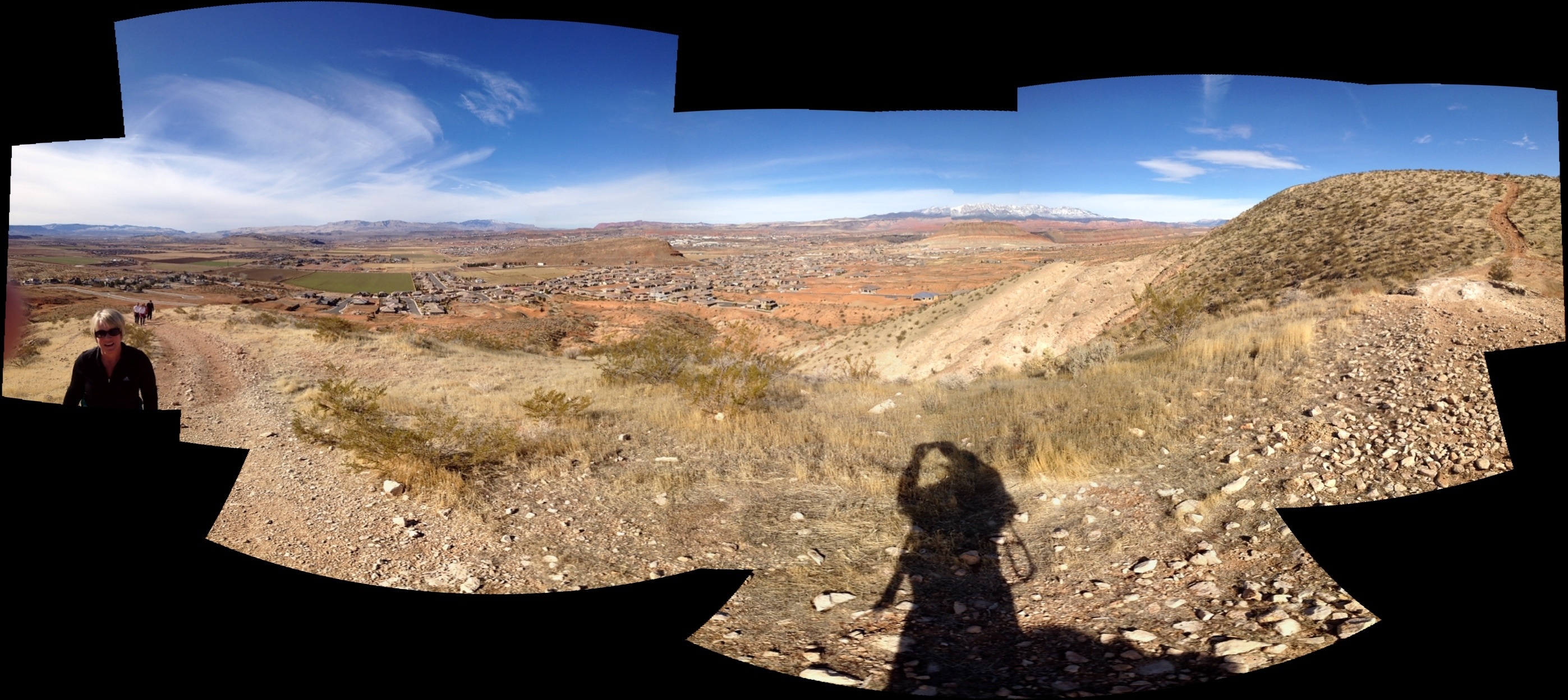
View from the hills near my parents' home in Utah
The Light of Day
Afternoon out the window
The View
Zen Wall right

Pearly Whites for the Dinosaur Enthusiast!
Virgin river from Reflections Park

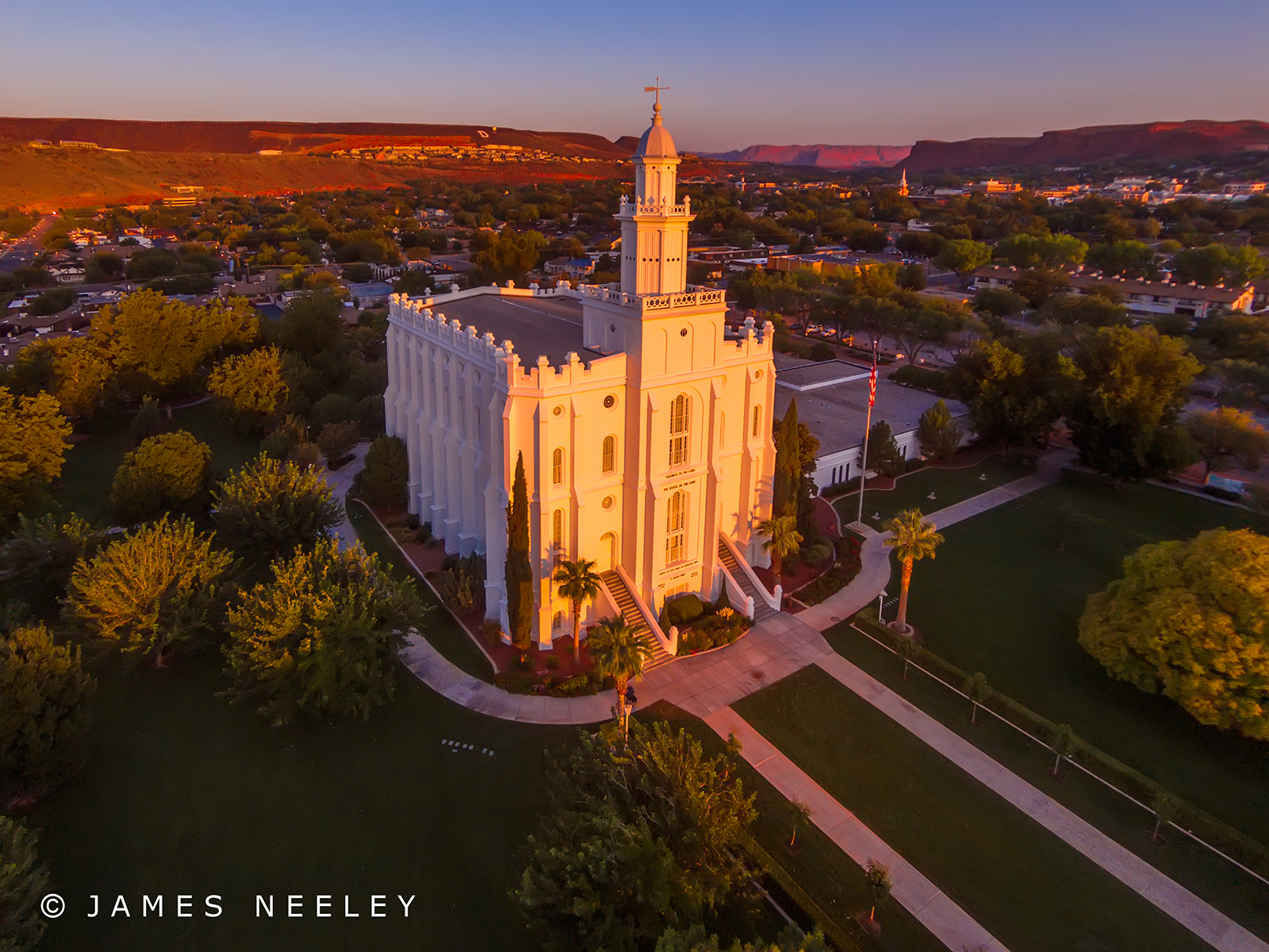
Saint George Utah Temple
Sunny Afternoon

Quail Creek Reservior
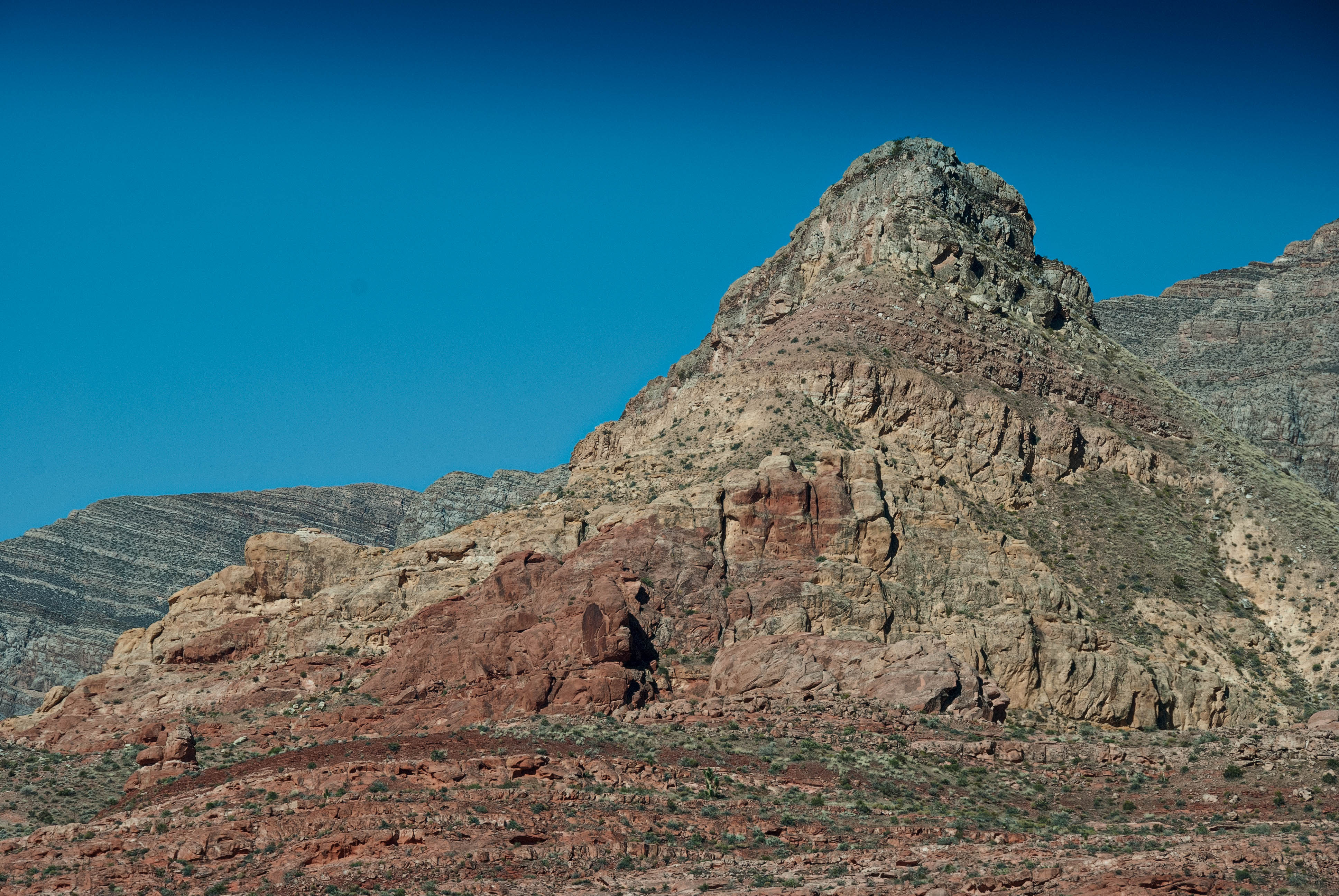
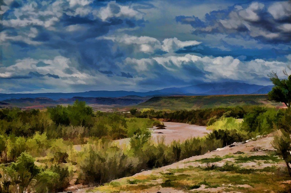
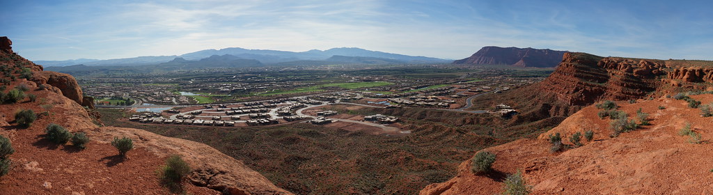
On the Road near St. George
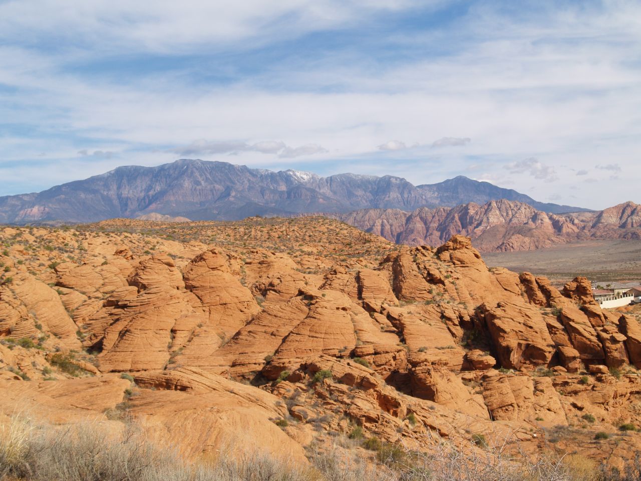
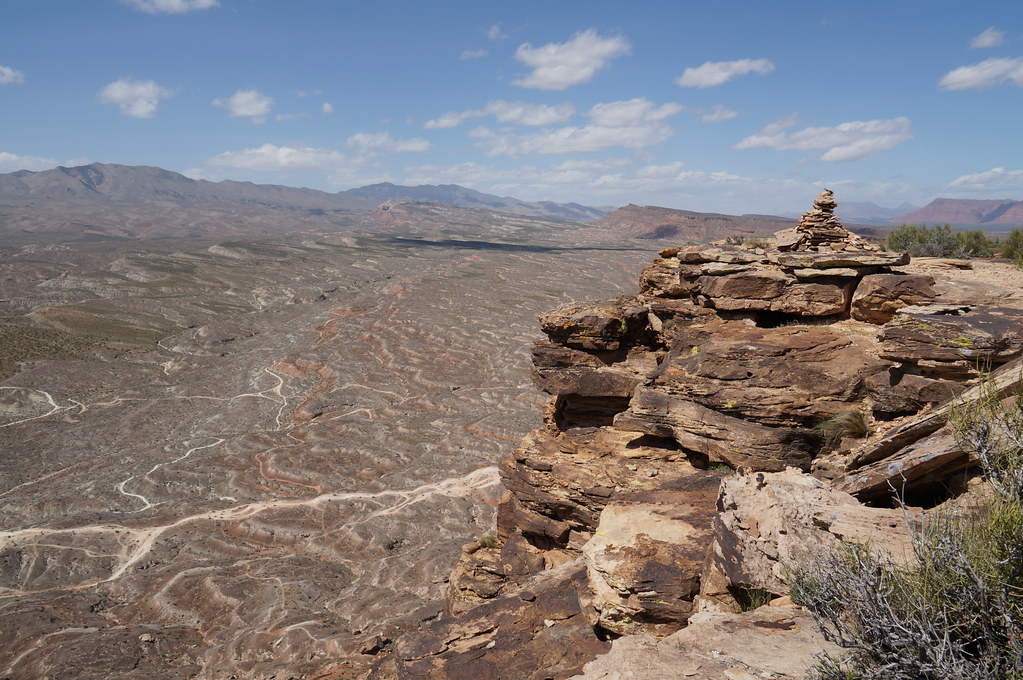
Utah - View From Petrified Sand Dunes Trail - Snow Canyon State Park
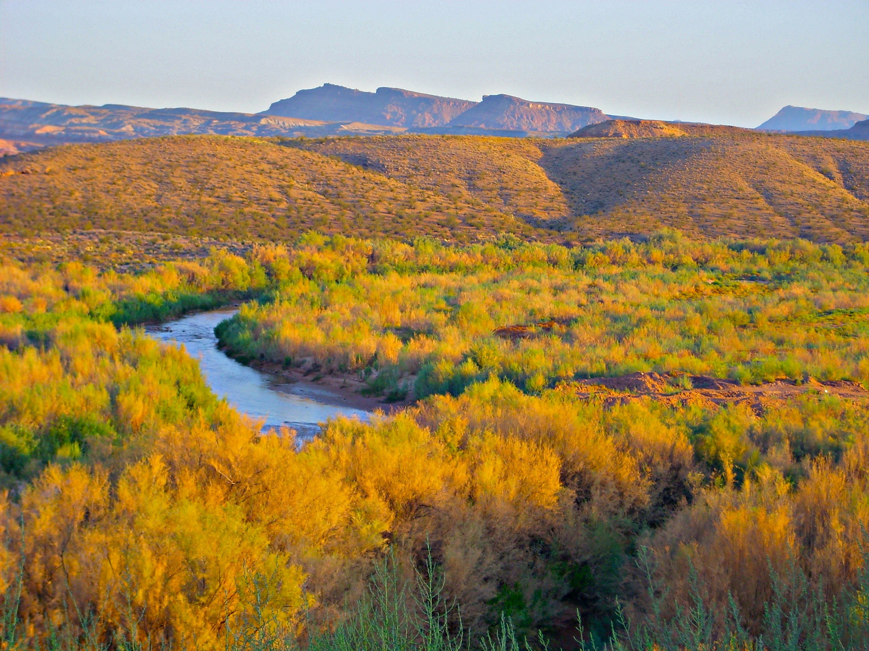
The Virgin River starts its spring meandering.
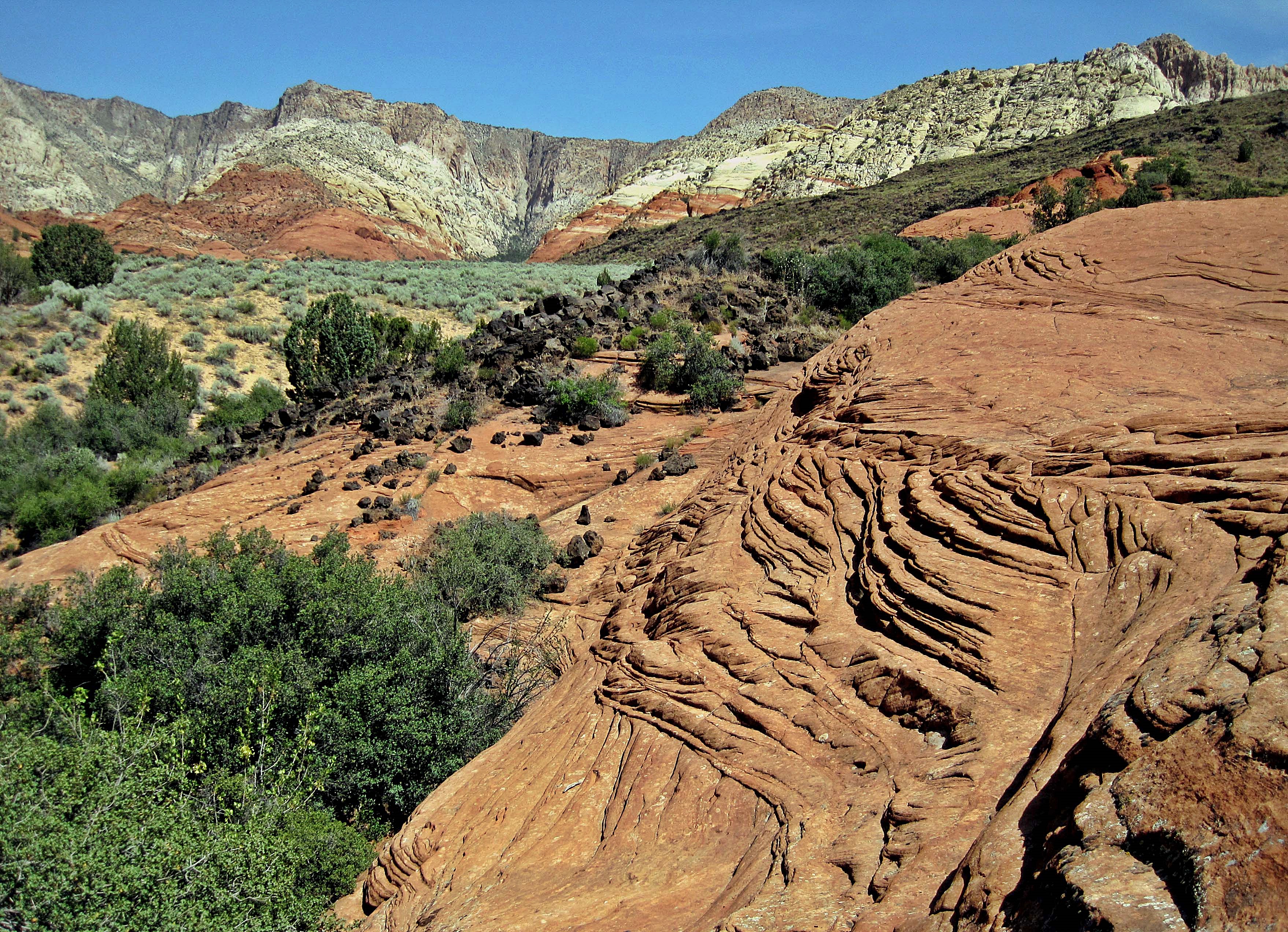
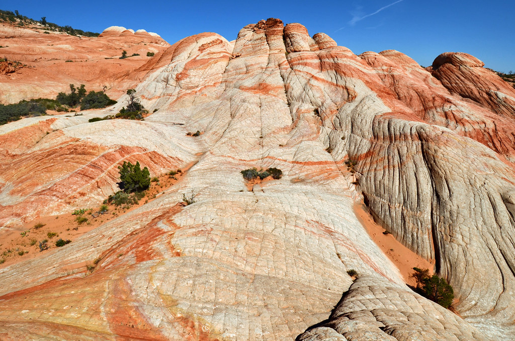
View From Petrified Sand Dunes Trail - Snow Canyon S P

Snow Canyon B/W
in it
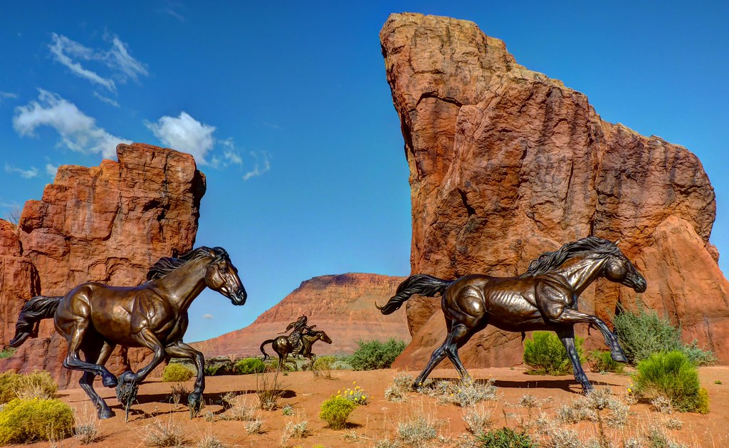
Roundabout Sculpture
Tree and Texture, Yant Flat, Utah
lava flow trail

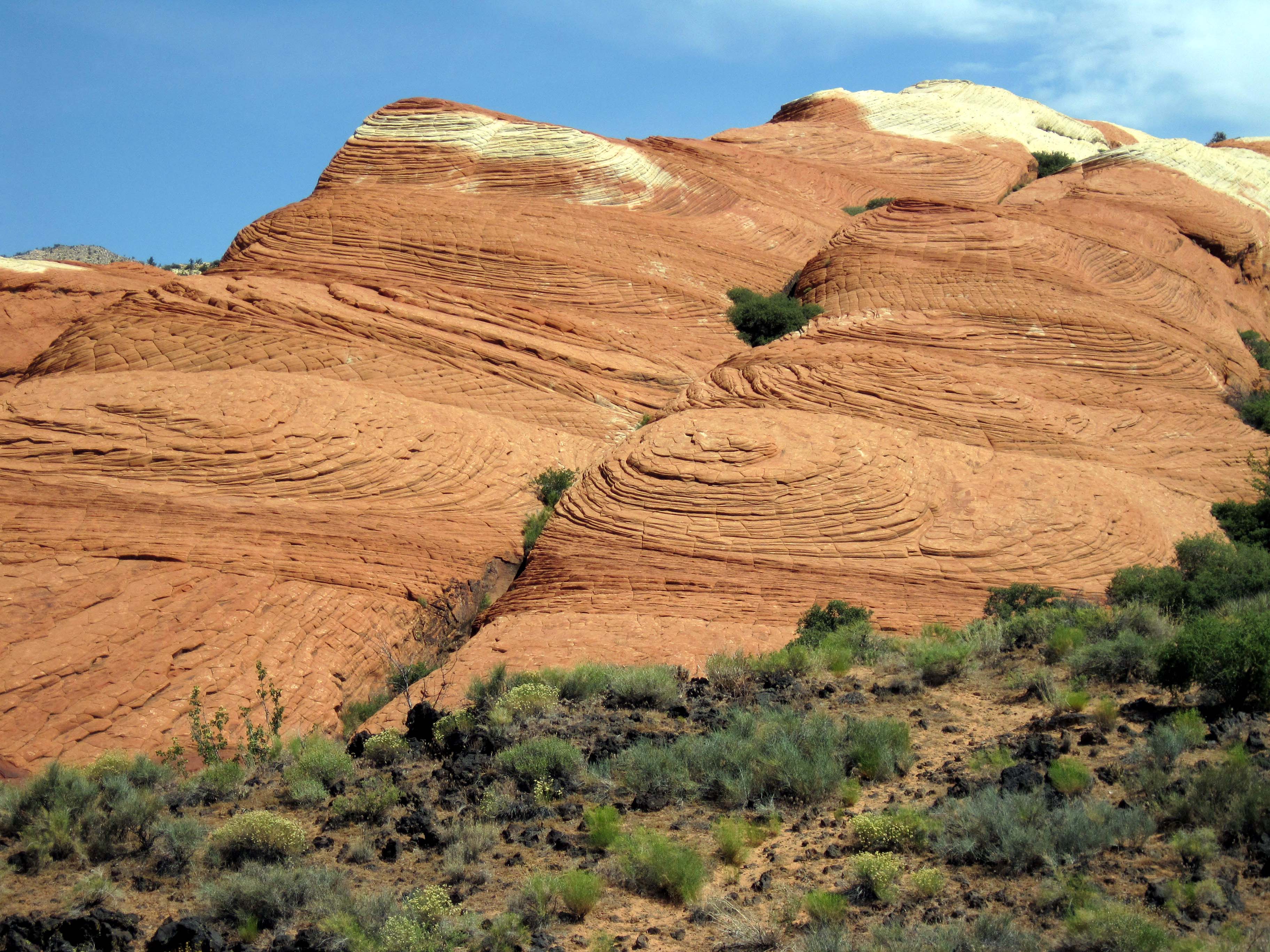
Petrified Dunes
big D
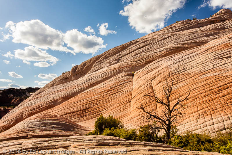
Two Domes, Yant Flat, Utah
touristy shot

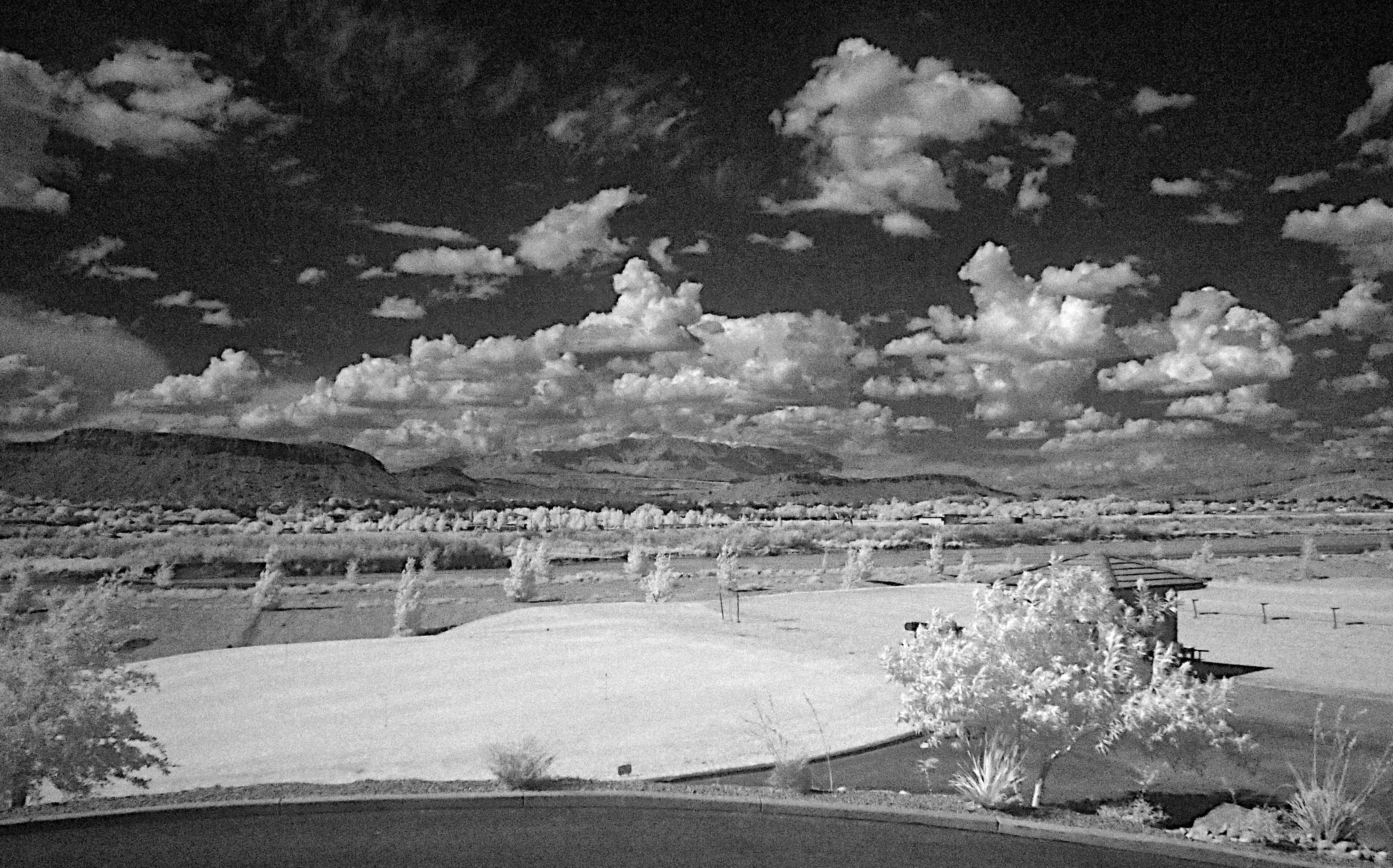
Winter Golf the easy way.

2011-08-30-145341_vom Valley of Fire zum Zion NP
2011-08-30-144350_vom Valley of Fire zum Zion NP

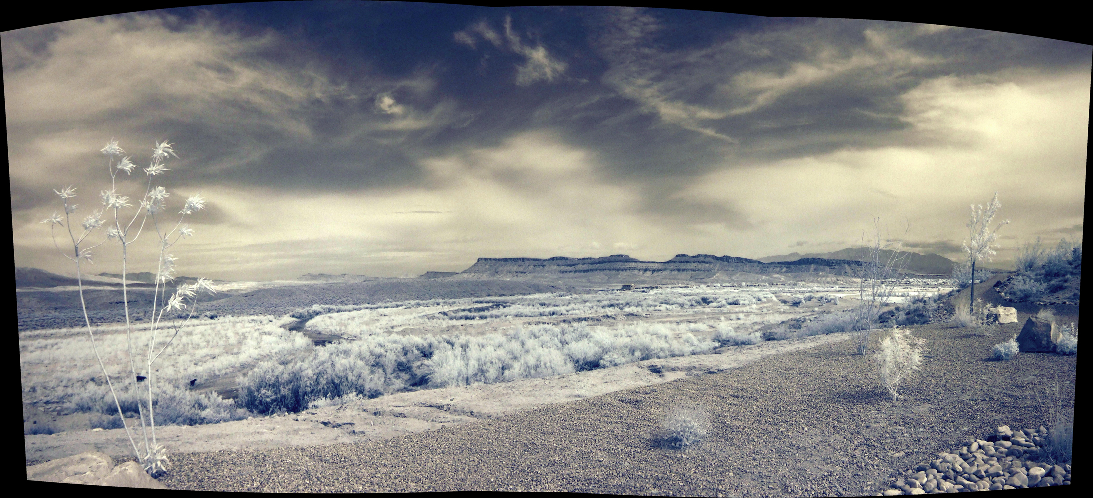
Yant Flat Panorama
weather, Virgin River
2011-08-30-144912_vom Valley of Fire zum Zion NP
Yant Flat
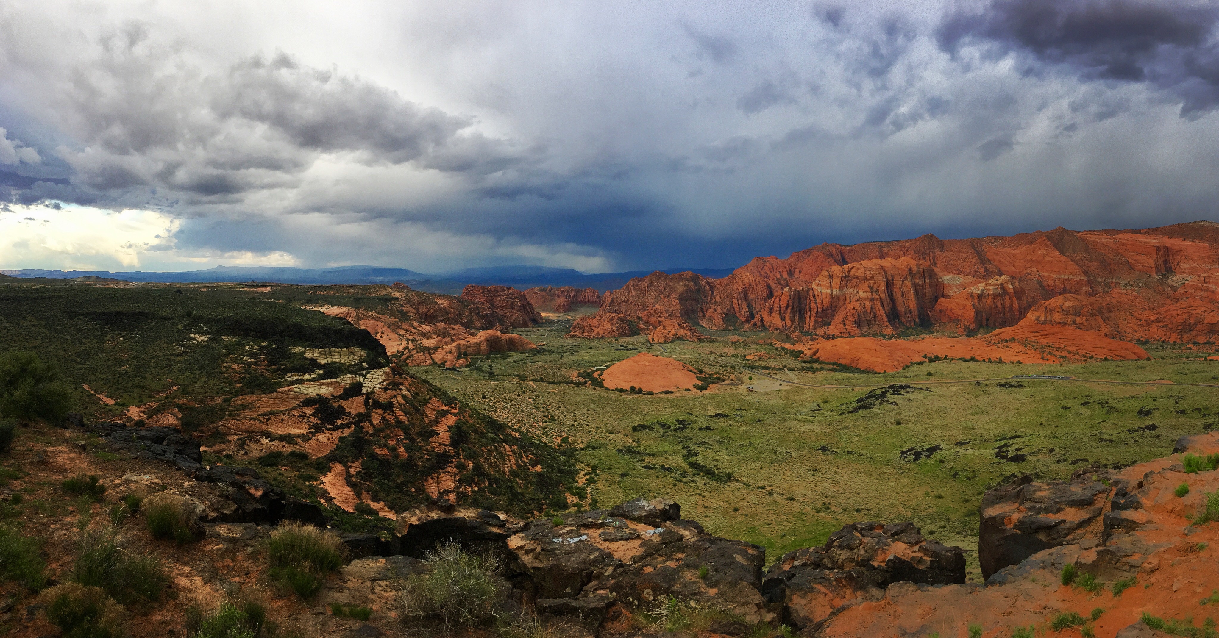
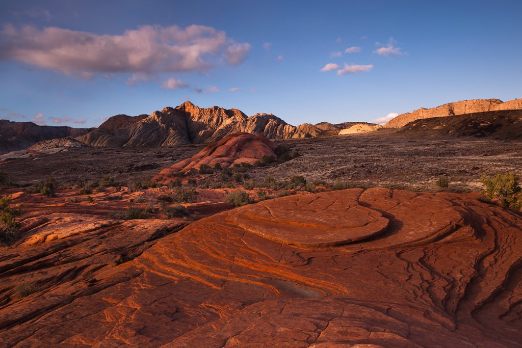
Snow Canyon as the storm rolls in.
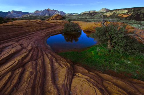
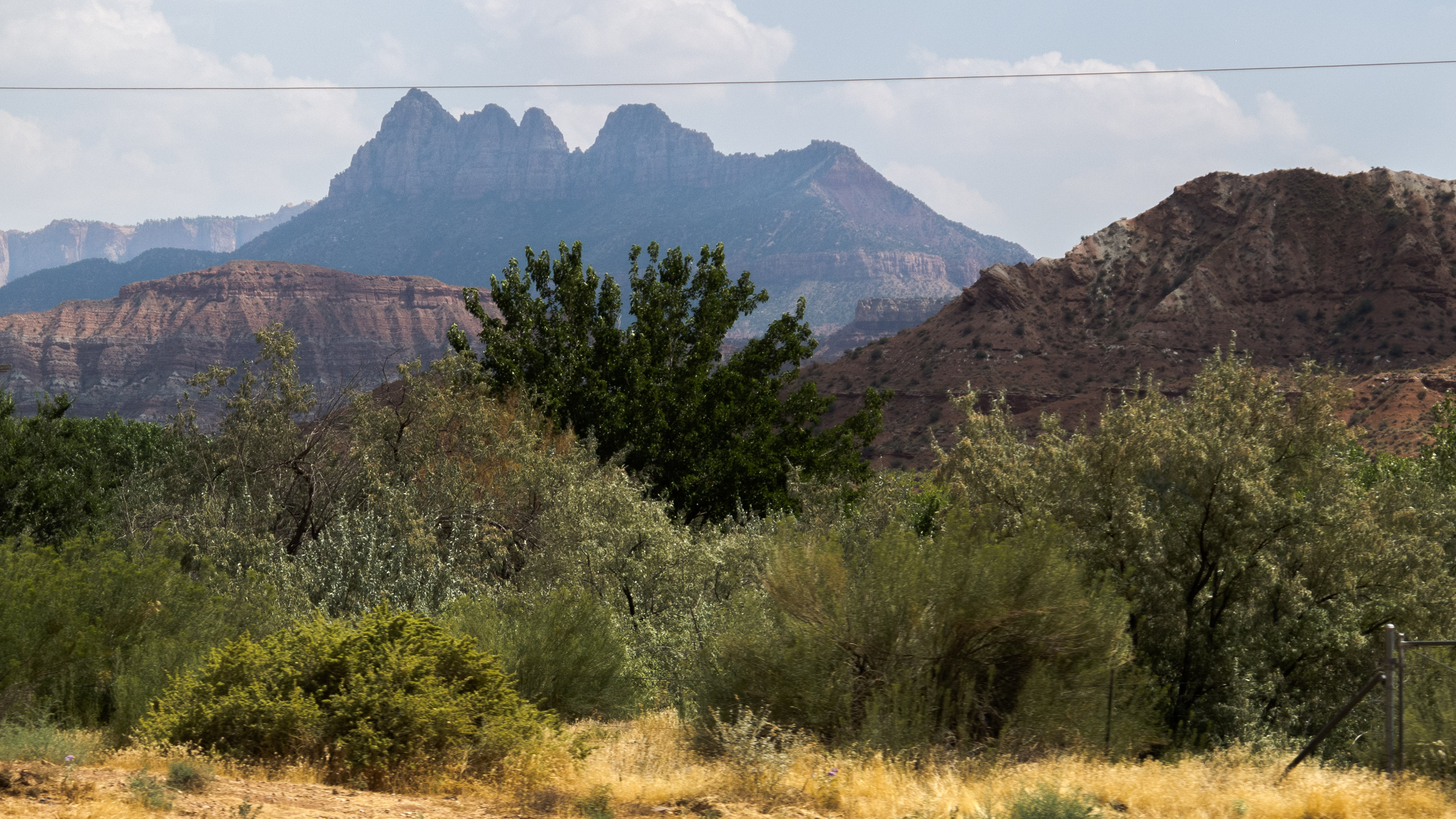
Snow Canyon, Utah
Santa Clara
Topographic Map of E Riverside Dr, St George, UT, USA
Find elevation by address:

Places near E Riverside Dr, St George, UT, USA:
109 N 2790 E
2396 E 50 S
3172 Deseret Dr
2435 E 350 N
514 S 1990 E St
138 S Arroyo Dr
230 N 1680 E
1030 N 1800 E
Washington
E Telegraph St, Washington, UT, USA
158 N Main St
1000 E Silver Shadows Dr
1445 W Bluff Hill Dr
1030 Quail Ridge Dr
1618 N 775 W
954 N Ocotillo Dr
1078 Catalpa Drive
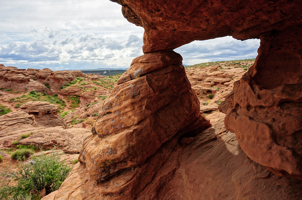
Elephant Arch
5662 West Clubhouse Drive
The Beach At Sand Hollow
Recent Searches:
- Elevation of Felindre, Swansea SA5 7LU, UK
- Elevation of Leyte Industrial Development Estate, Isabel, Leyte, Philippines
- Elevation of W Granada St, Tampa, FL, USA
- Elevation of Pykes Down, Ivybridge PL21 0BY, UK
- Elevation of Jalan Senandin, Lutong, Miri, Sarawak, Malaysia
- Elevation of Bilohirs'k
- Elevation of 30 Oak Lawn Dr, Barkhamsted, CT, USA
- Elevation of Luther Road, Luther Rd, Auburn, CA, USA
- Elevation of Unnamed Road, Respublika Severnaya Osetiya — Alaniya, Russia
- Elevation of Verkhny Fiagdon, North Ossetia–Alania Republic, Russia