Elevation of E Rd, Grove, OK, USA
Location: United States > Oklahoma >
Longitude: -94.658068
Latitude: 36.5736988
Elevation: 285m / 935feet
Barometric Pressure: 98KPa
Elevation Map:
Satellite Map:
Related Photos:

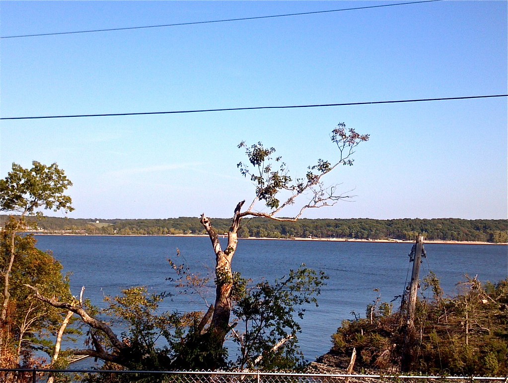
My View from My Deck - 2
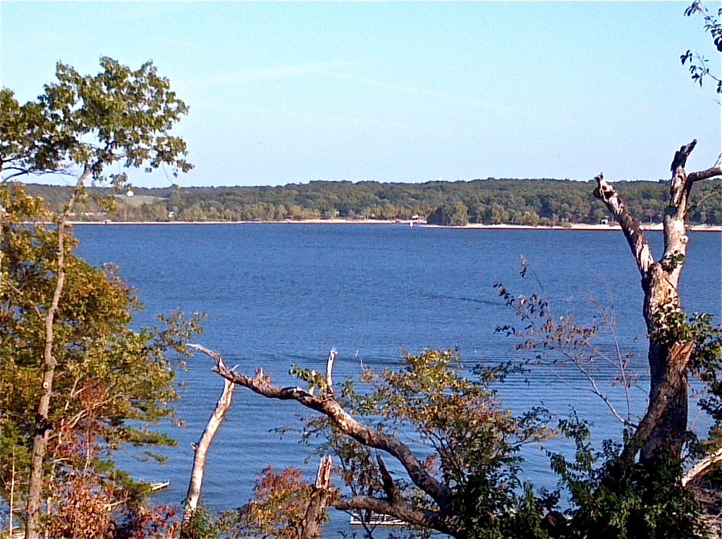
My View from My Deck - 1
My View from My Deck - 4
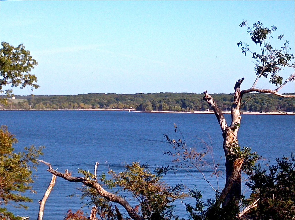
My View from My Deck - 3
Buffalo Creek-Deck View
Side View: Cave Springs Branch
Buffalo Creek-Side View

Ozark Autumn Sunrise 2

A Mid-Summer Evening Dream

Grand.

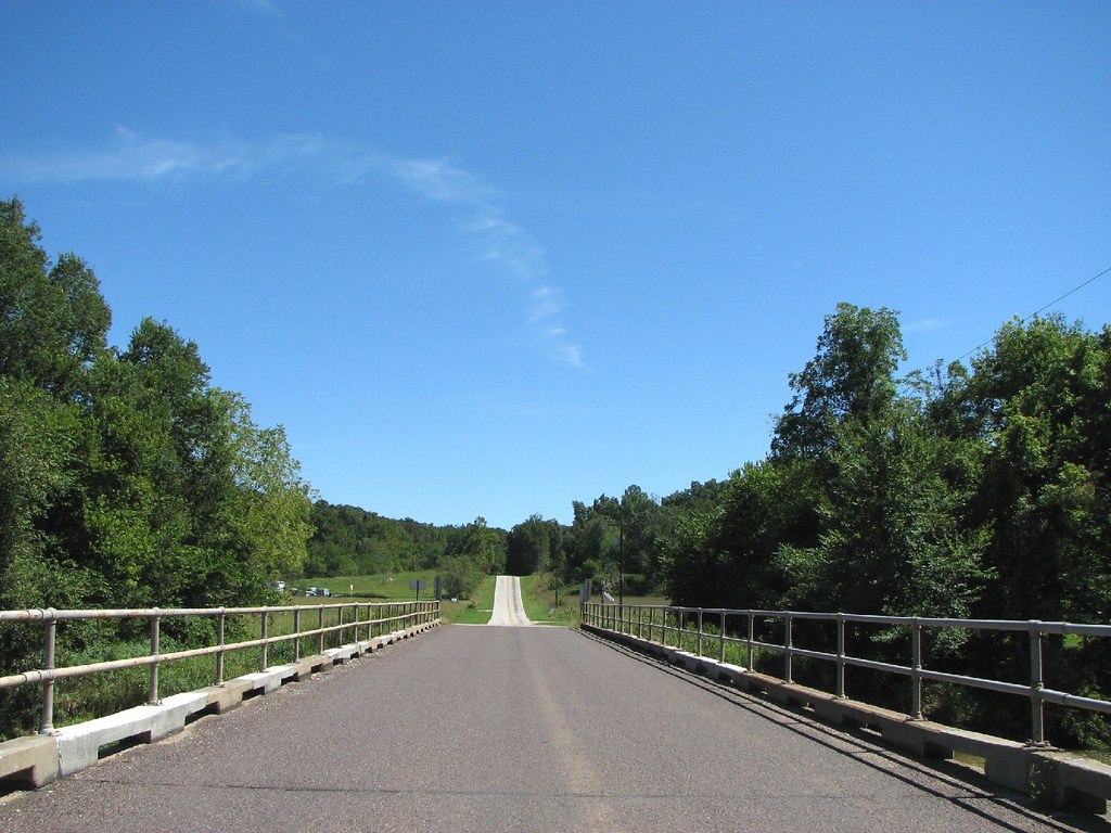
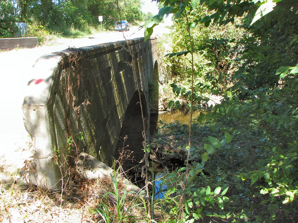
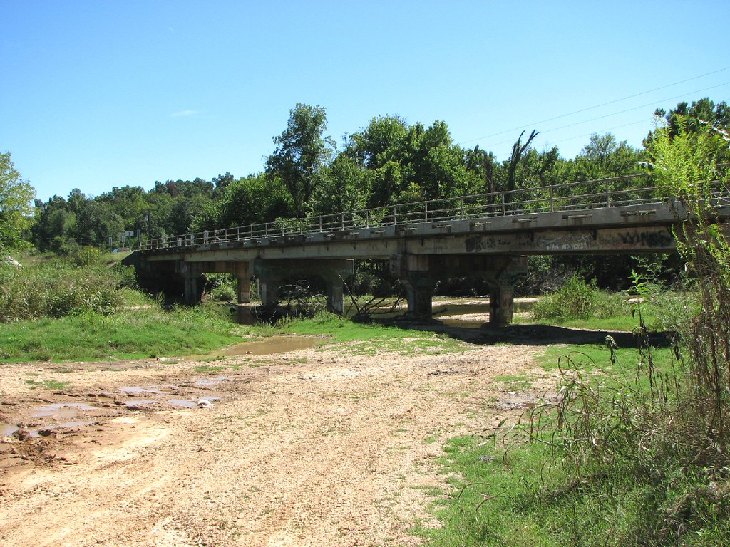
noel ms bridge-1

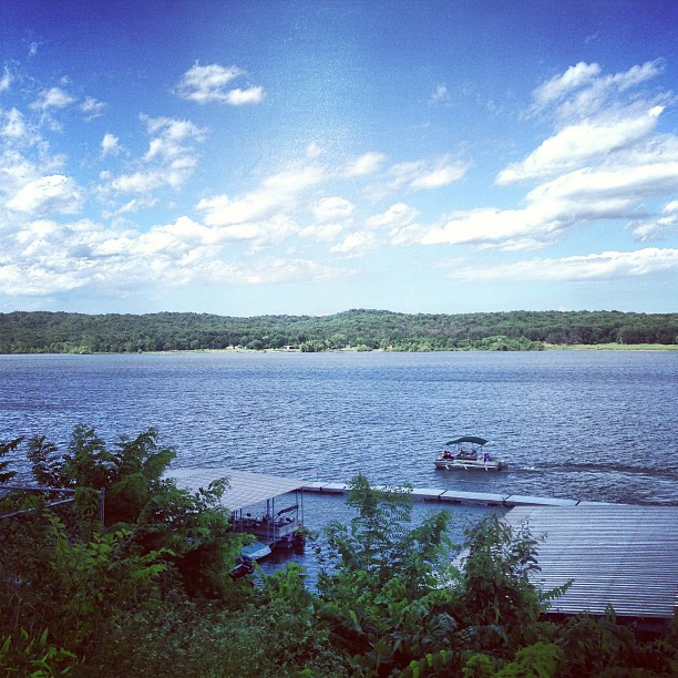
Grand Lake Sunset No. 2
#happiness

:)
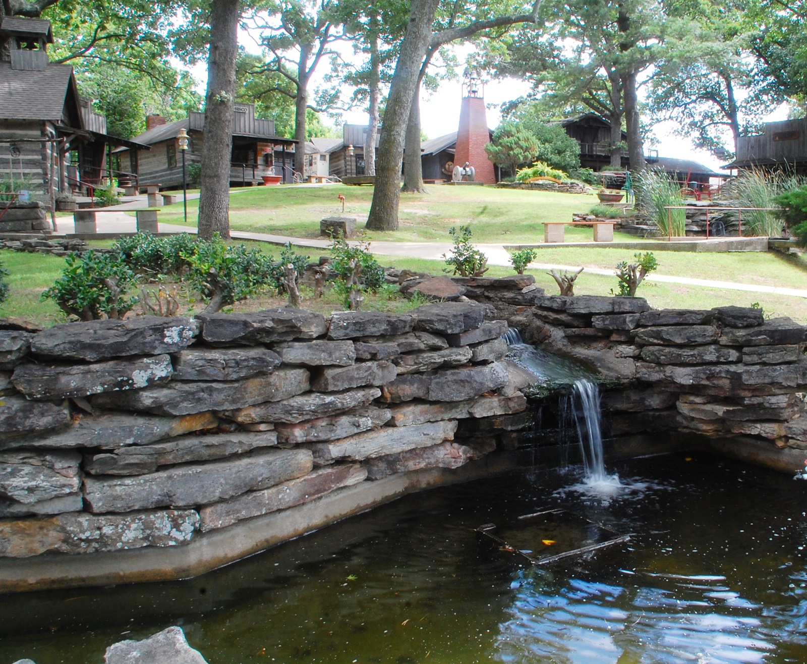
HarBer Village Museum 15, Grove OK 7-14-2014
IMG_0236.JPG

On the edge of Autumn
Southwestern Missouri Landscape (Southwest City, Missouri)

Tri-Point Monument (Southwest City, Missouri)
Northwestern Arkansas and Northeastern Oklahoma Landscape (Southwest City, Missouri)

My Photo Stream-343

Tree beside the pond at Lendenwood Gardens
Topographic Map of E Rd, Grove, OK, USA
Find elevation by address:

Places near E Rd, Grove, OK, USA:
Zachary T. Bechtol M.d., Pllc
Grove
Long's Resort & Fish Haven
25230 S 607 Ln
S Ln, Grove, OK, USA
Copeland
25939 S 579 Loop
Mount Shira Road
Eagle Nest Ln, Noel, MO, USA
Monkey Island, Oklahoma
May
Anderson
Wyandotte
Indian Creek Campground
79 Rivers Edge Ln
Anderson East Township
Harps Food Stores
Grand Lake O' The Cherokees
State Hwy H, Noel, MO, USA
Ottawa County
Recent Searches:
- Elevation of Corso Fratelli Cairoli, 35, Macerata MC, Italy
- Elevation of Tallevast Rd, Sarasota, FL, USA
- Elevation of 4th St E, Sonoma, CA, USA
- Elevation of Black Hollow Rd, Pennsdale, PA, USA
- Elevation of Oakland Ave, Williamsport, PA, USA
- Elevation of Pedrógão Grande, Portugal
- Elevation of Klee Dr, Martinsburg, WV, USA
- Elevation of Via Roma, Pieranica CR, Italy
- Elevation of Tavkvetili Mountain, Georgia
- Elevation of Hartfords Bluff Cir, Mt Pleasant, SC, USA