Elevation of E Player Rd, Sandy, UT, USA

Location: United States > Utah > Salt Lake County > Sandy >

Longitude: -111.84768

Latitude: 40.5408894

Elevation: 1456m / 4777feet

Barometric Pressure: 85KPa

Elevation Map:

elevation map of E Player Rd, Sandy, UT, USA

Satellite Map:

Satellite map of E Player Rd, Sandy, UT, USA

Related Photos:

eechillington nikond90 viewnx2 corelpaintshoppro rocks texture patterns abstract bigcottonwoodcanyon stormmountain utah
It's complicated
eechillington nikond90 rocks patterns texture mountolympus utah hiking viewnx2 corelpaintshoppro
Variations on a theme
blue light sunset color yellow architecture clouds temple lights utah view sunsets cannon mormon bluehour lds hdr starburst draper postsunset ldstemples drapertemple hdrprocessing canoneosrebelt3i
Majestic Draper Temple at Blue Hour
sunset sky mountain mountains tree clouds evening utah spring rocks wasatch view aerial trail saltlakecity saltlake valley vista overlook overview mountolympus jamesudall
Salt Lake Valley from Mount Olympus Trail
longexposure autumn plants usa mountain lake hot tree sexy fall nature water colors leaves america canon river landscape flow outdoors eos rebel utah pond flora rocks wasatch slow little background babe pebbles canyon hike h2o nationalforest climbing trail watershed cottonwood rockymountains vegitation hdr ecosystem shutterspeed t3i bawden saltlakecounty spazoto spencerbawden
Little Cottonwood
city trees light sunset red sky orange sun white lines yellow clouds fence temple utah twilight parkinglot day shadows view explosion processing cannon mormon bushes lds hdr draper latterdaysaint saltlakecounty drapertemple hdrprocessing cannonpowershota495 pwpartlycloudy
Draper Temple at Sunset
sky cloud snow landscape utah pattern wind horizon snowdrift shrub drift draper suncrest saltlakecounty traversemountains deerridgedrive lebarodea viewbenchmark
Fields For Furrows
road travel sky panorama storm mountains clouds canon outdoors utah highway hiking sigma hike trail saltlakecity valley 7d photomerge recreation hikers mountolympus wasatchfront wasatchrange 1750mm
The killer view
Natacha and Rudolph
winter cliff cloud mountain snow rock landscape wasatch peak canyon ridge highland alpine summit utahcounty americanforkcanyon utahvalley americanfork uintanationalforest mounttimpanogos boxelderpeak mahoganymountain traversemountains deerridgedrive lebarodea viewbenchmark
Dissociation Station
sculpture tree statue utah indian nativeamerican cottonwood murraypark chiefwasatch uteindiantribe
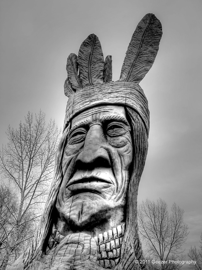
Chief Wasatch In Murray Park
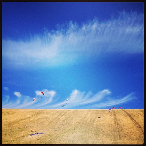
longexposure light sky storm clouds utah view wideangle saltlakecity lighttrails lightning lightroom herriman sigma1020 canon7d bwsterlingphotography
Touching Down
utah military medical 350 artillery metaphor murray usnavy usarmy ihc caliber murraypark intermountainmedicalcenter gunihcintermountain centermurraymurray parkutah350calibergun
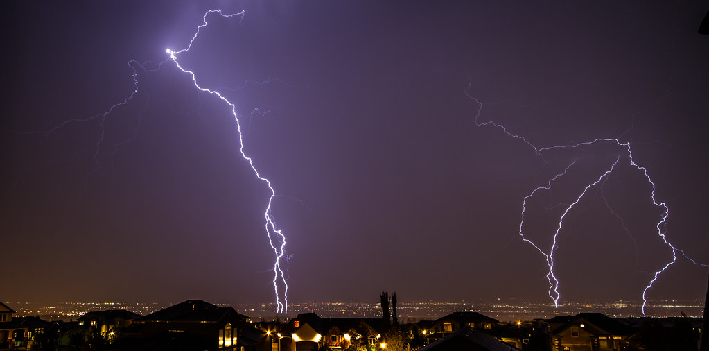
Spotter: "Over, 5 right." FCO: "Left 20, drop 50, fire for effect!" [Explored]
tulips hotairballoon blythe misssallyrice simplyvanilla
Balloon Tour - Butterfly Garden
eechillington nikond90 viewnx2 corelpaintshoppro nature water rocks patterns texture abstract utah bellscanyon hiking
The return of Spring.
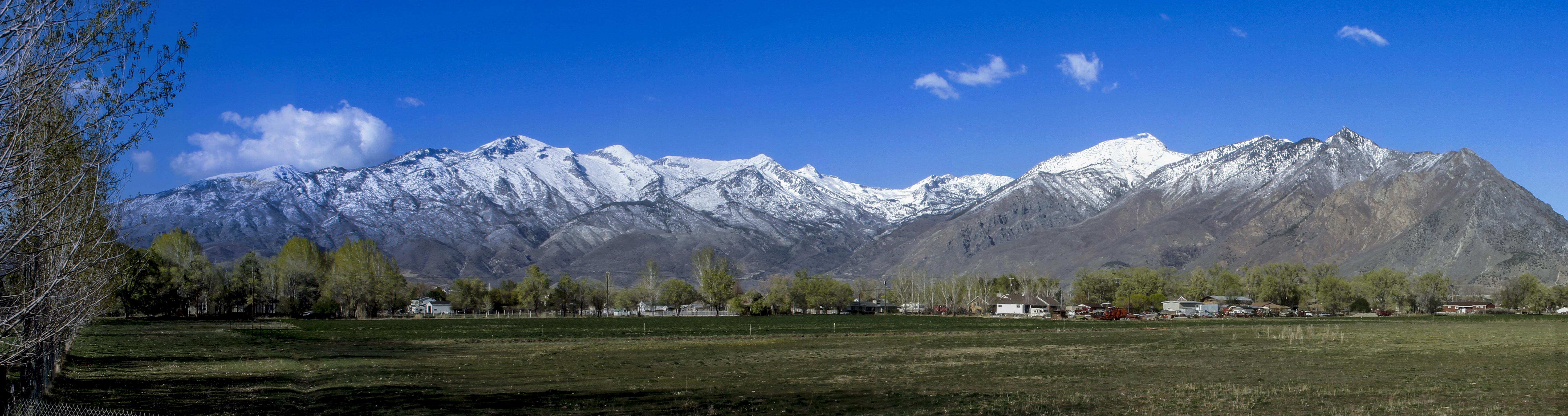
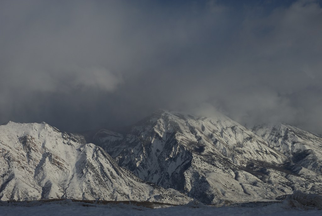
Panoramic view of the Wasatch mountains [Explore 3 March 2016]
county city white lake water coffee river flow utah big log nikon long exposure salt canyon cameras cottonwood heights blueribbonwinner d80 aplusphoto theperfectphotographer
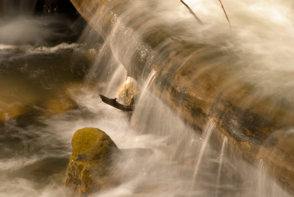
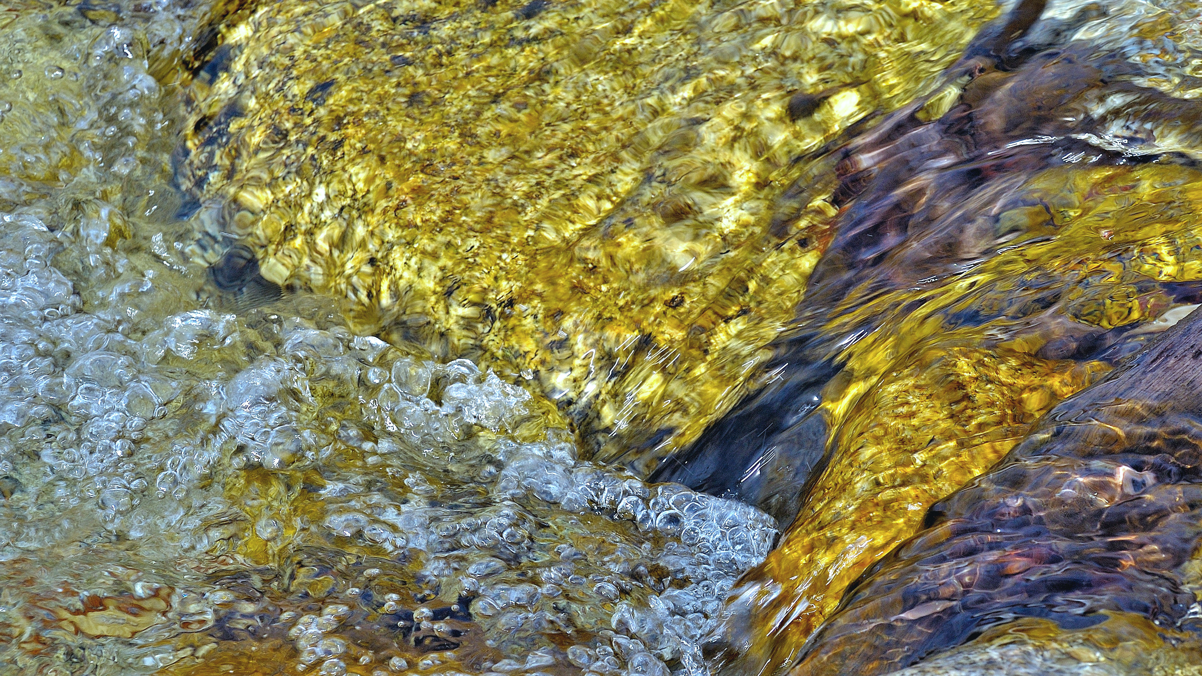
Water Rolling over a Log
flowers bench utah smokestacks metaphor murray asarco smelter ihc murraypark peteseeger peterpaulandmary intermountainmedicalcenter murrayladiesclub
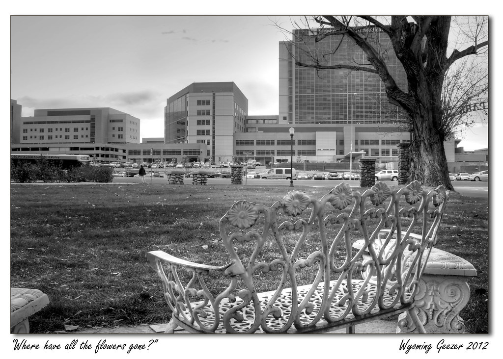
Where have all the flowers gone?
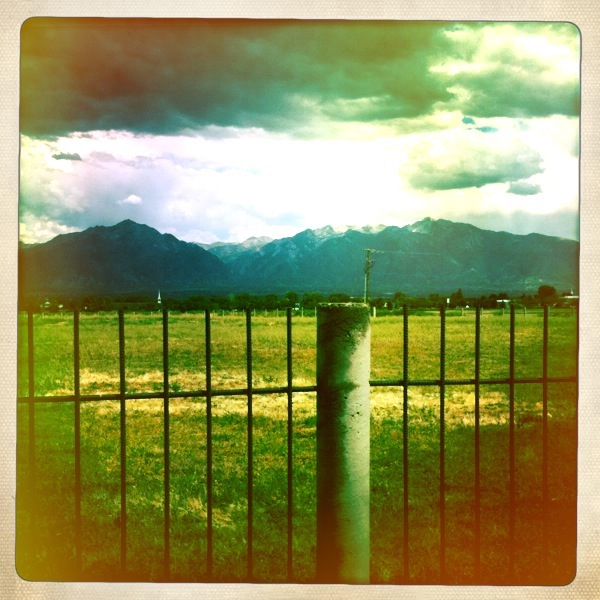
Wasatch mountains
building architecture religious temple mormon draper thechurchofjesuschristoflatterdaysaints ldstemple thechurchoflatterdaysaints draperutahtemple
Draper Utah Temple, Aged
geotagged 20070923
View up the Mouth of LIttle Cottonwood Canyon
utah wasatch lebarodea lonepeakwilderness bellscanyon road pine flocked cirque belltowers thunder mountain thundermountain oak rubberrabbitbrush forest conifer granite ridge curleafmountainmahogany footprints mud quartzite trail hiking evening sunset
Salted Path
mountain lake mountains utah big scenery unitedstates canyon saltlakecity cottonwood blanche ilce6000
Lake Blanche - Big Cottonwood Canyon, Utah
iphoneography uploaded:by=flickrmobile flickriosapp:filter=nofilter
A Throne for the Solitary
winter snow mountains clouds sunrise landscape utah nikon cloudy sigma draper 24105mmf4 cornercanyon sigmaart d800e
20150127-_JBS8307
originalfilter uploaded:by=flickrmobile flickriosapp:filter=original
A farewell to the sun, and a welcome to the dark day. [to see more of my mobile photography using iPhone, check out my Instagram :: @jordan_is]
Utah Valley
longexposure mountain water creek utah stream long exposure saltlakecity millcreekcanyon blueribbonwinner flickrsbest mywinners impressedbeauty diamondclassphotographer
stream - Millcreek Canyon - 9-03-08 01
park city winter nature james utah day bell cloudy sandy peak canyon hike reservoir trail lone lower hdr dima photomatix d7100 pwwinter pwpartlycloudy
Lower Bell Canyon Reservoir
winter usa mountain temple utah ut steeple spire mormon lds daybreak 2012 moroni southjordan wasatchmountain saltlakecounty oquirrhtemple ldstemplespire
LDS Temple Spire
sunset utah valley citylights statestreet highway89 interstate15 saltlakevalley oquirrh binghamcanyon oquirrhmountains bonnevilleshorelinetrail lowepeak lebarodea orsonsmithtrailhead
Pieces Of My Shattered Mirror
railroad mountains landscape utah nikon dusk tracks sigma rail draper 24105mmf4 sigmaart d800e
Draper-West
cloud snow pine forest utah spring wasatch peak ridge summit quartzite steep mountolympus conifer saltlakevalley neffscanyon mountolympuswilderness curlleafmountainmahogany lebarodea
You Cannot Hide In The Sky
iphoneography uploaded:by=flickrmobile flickriosapp:filter=nofilter
Winter in the Wasatch
utah unitedstates draper
the Fog goes on
blue sky moon mountain rising twilight wasatch dusk moonrise area wilderness range lunar rugged
Moonrise over Wasatch Mountains, Utah
fergusoncanyon saltlake utah lebarodea twinpeakswilderness wasatch canyon granite fergusoncreek acernegundo boxeldertree sediment creek moss wood steep rocky rugged light golden springwater
Stair Of The Grain
breathtakinglandscapes
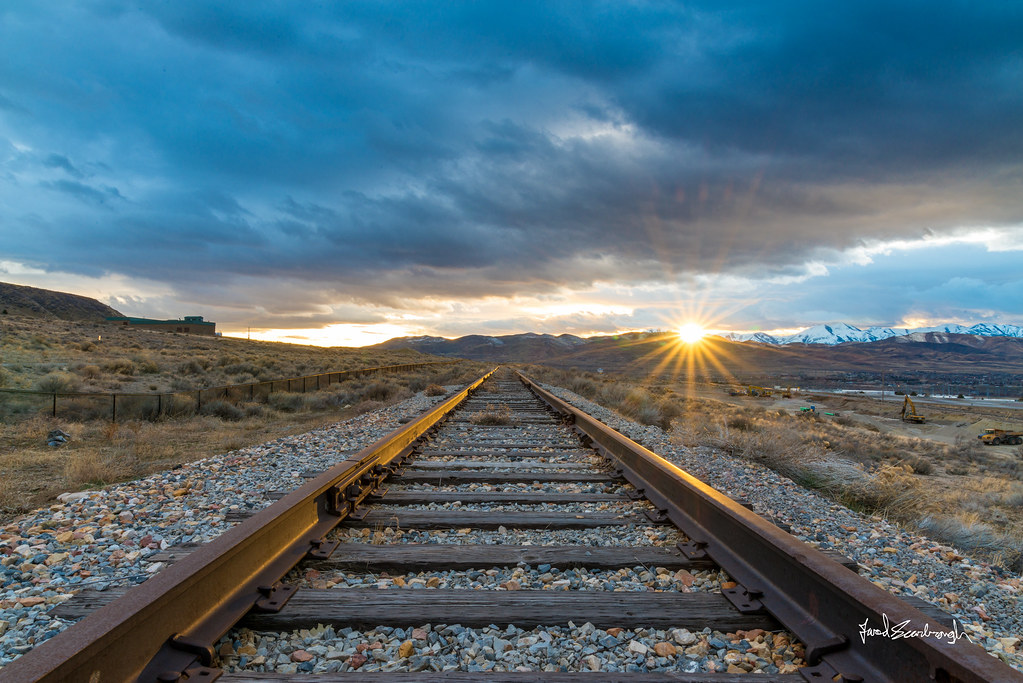
Evening's last rays of sun on Lone Peak
square squareformat mayfair iphoneography instagramapp uploaded:by=instagram foursquare:venue=4bfda53cf61dc9b677579fde
#paragliders #paragliding in #utah #summer2013 Awesome morning. Sweetness!!
railroad sunset lines clouds landscape utah nikon cloudy tracks sigma rail parallel draper leadinglines tresspass 24105mmf4 sigmaart d800e
20150203-_JBS8454.jpg