Elevation of E N, Logan, UT, USA
Location: United States > Utah > Cache County > Logan >
Longitude: -111.82407
Latitude: 41.7574718
Elevation: 1389m / 4557feet
Barometric Pressure: 86KPa
Elevation Map:
Satellite Map:
Related Photos:

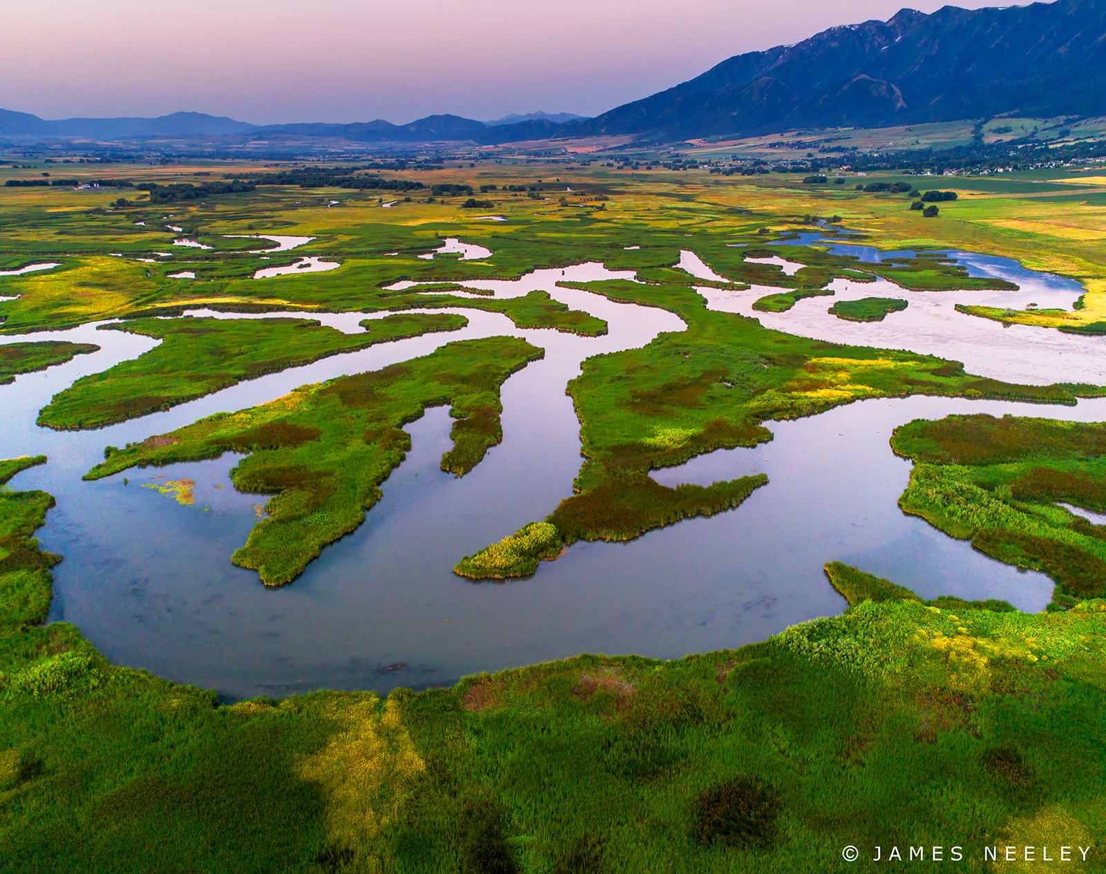
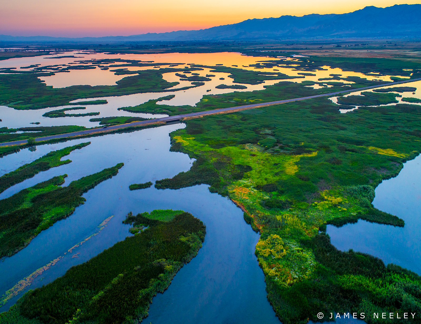
Cutler Marsh
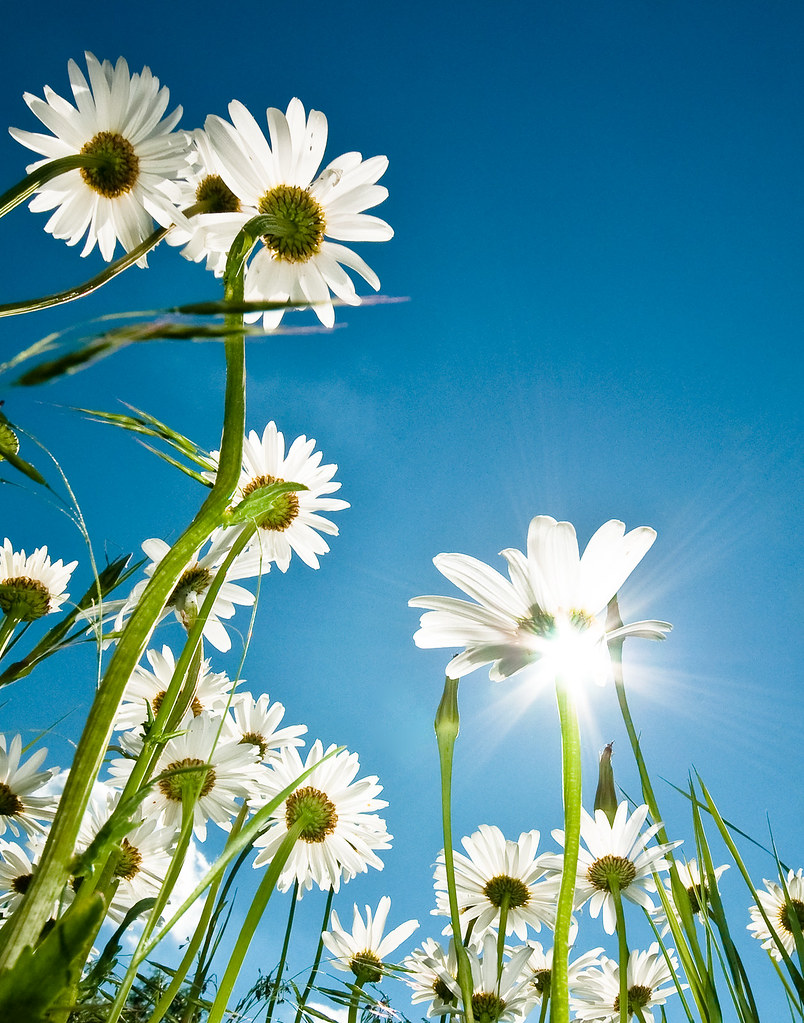
Sometimes You Get A Better View From Behind
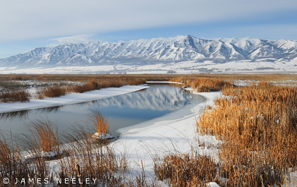
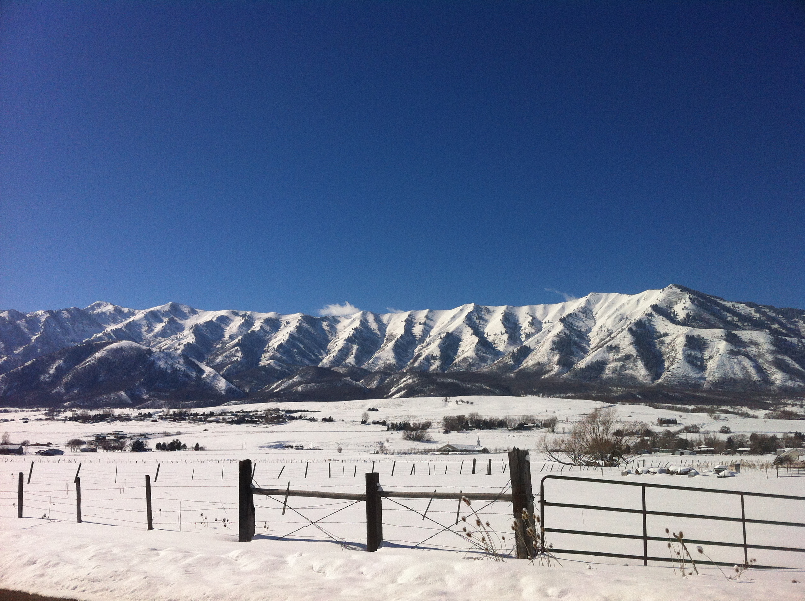
Luxurious Winter
Elevated Perspective
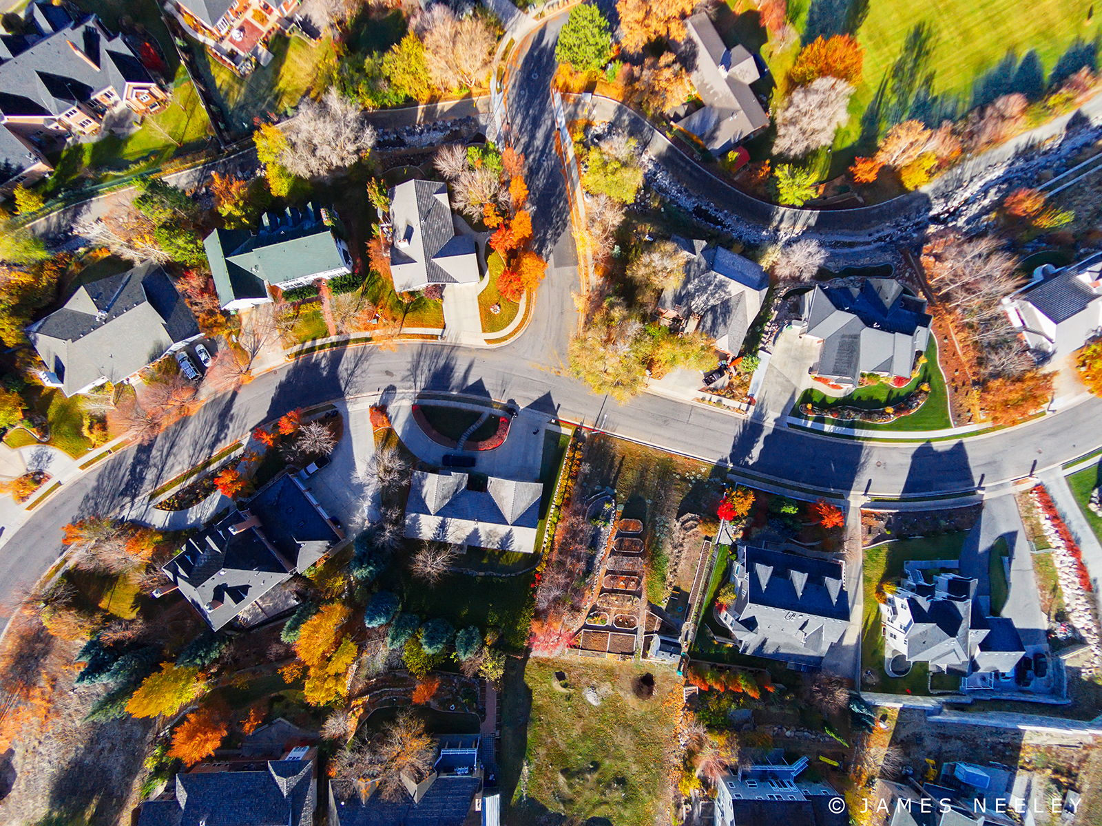
Air View
Light the Way
Anchoring the Past
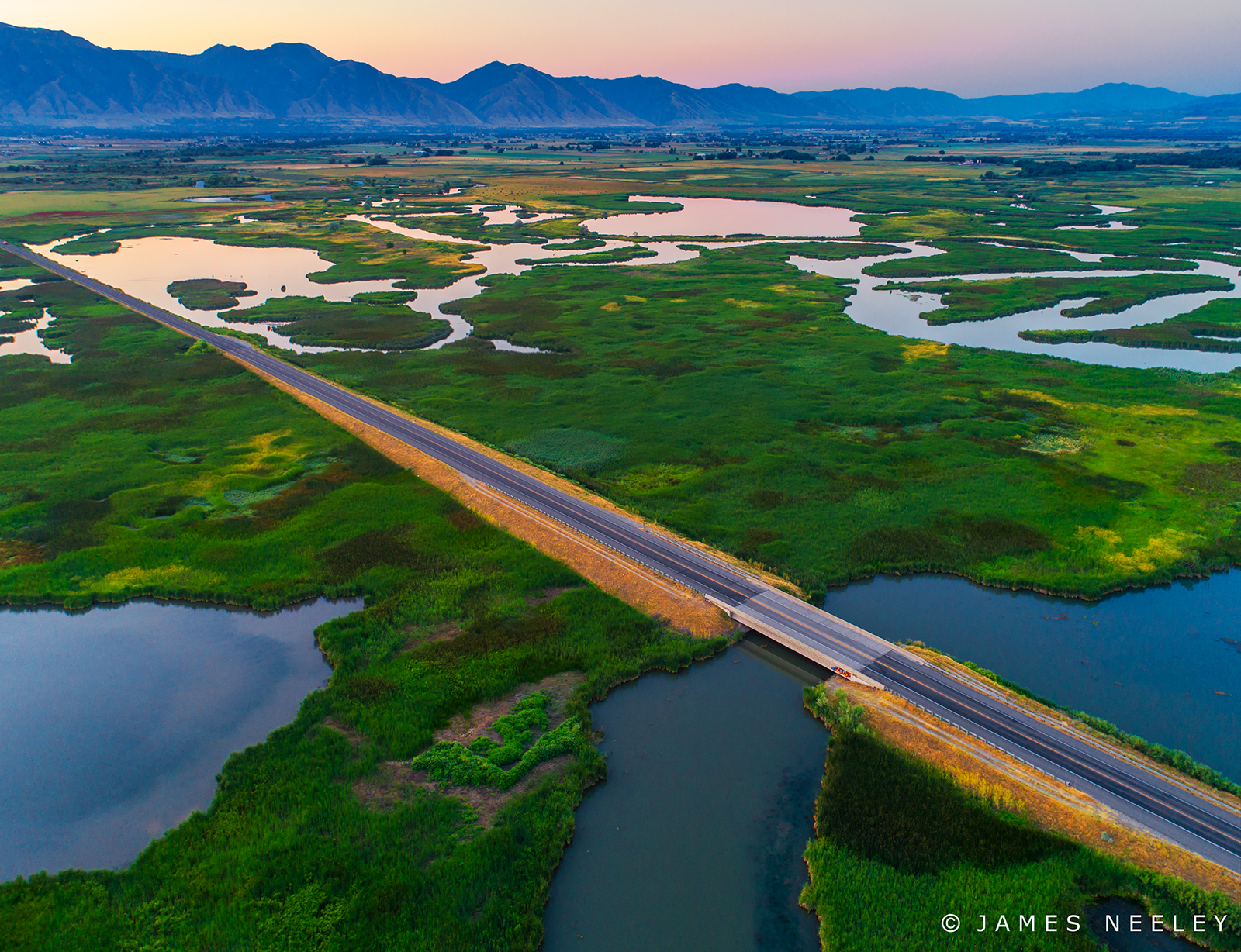
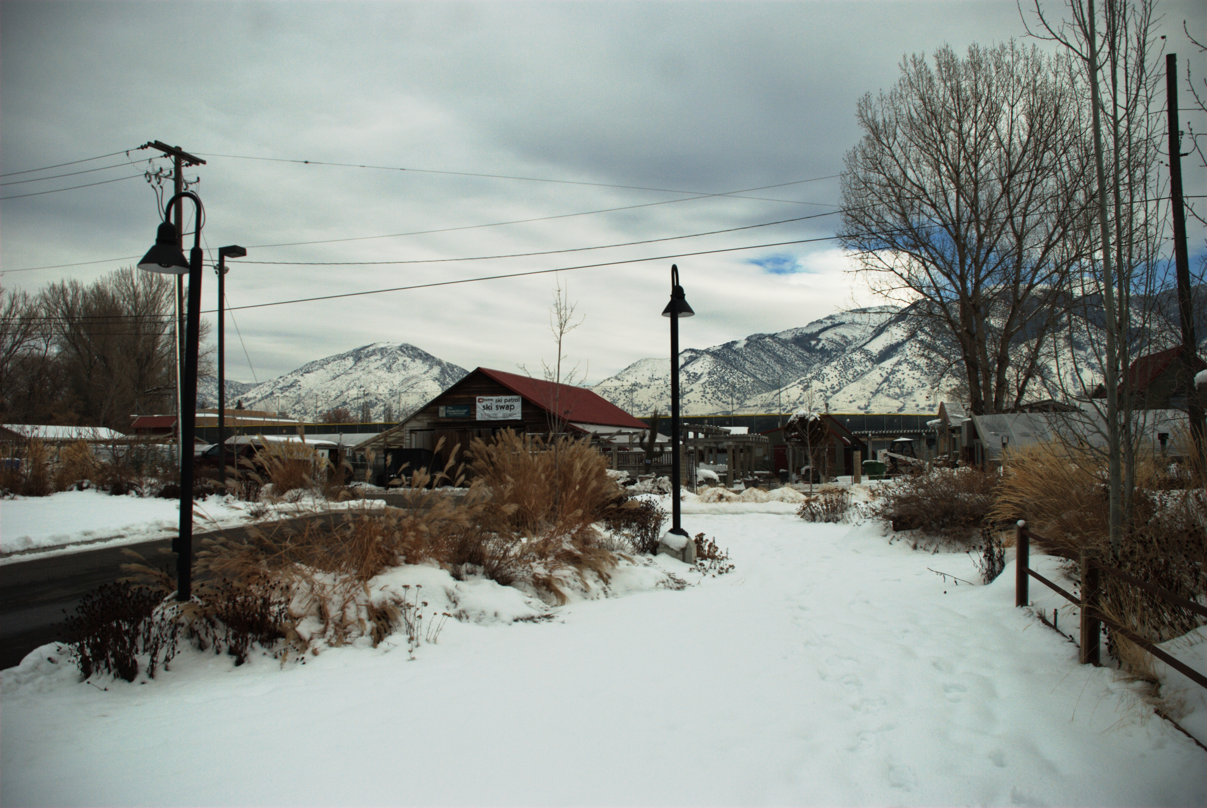
The High Way
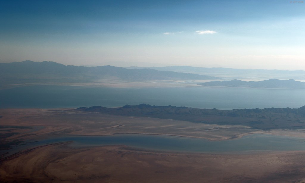
Salt Lake Pastels
Piece 1 of 6
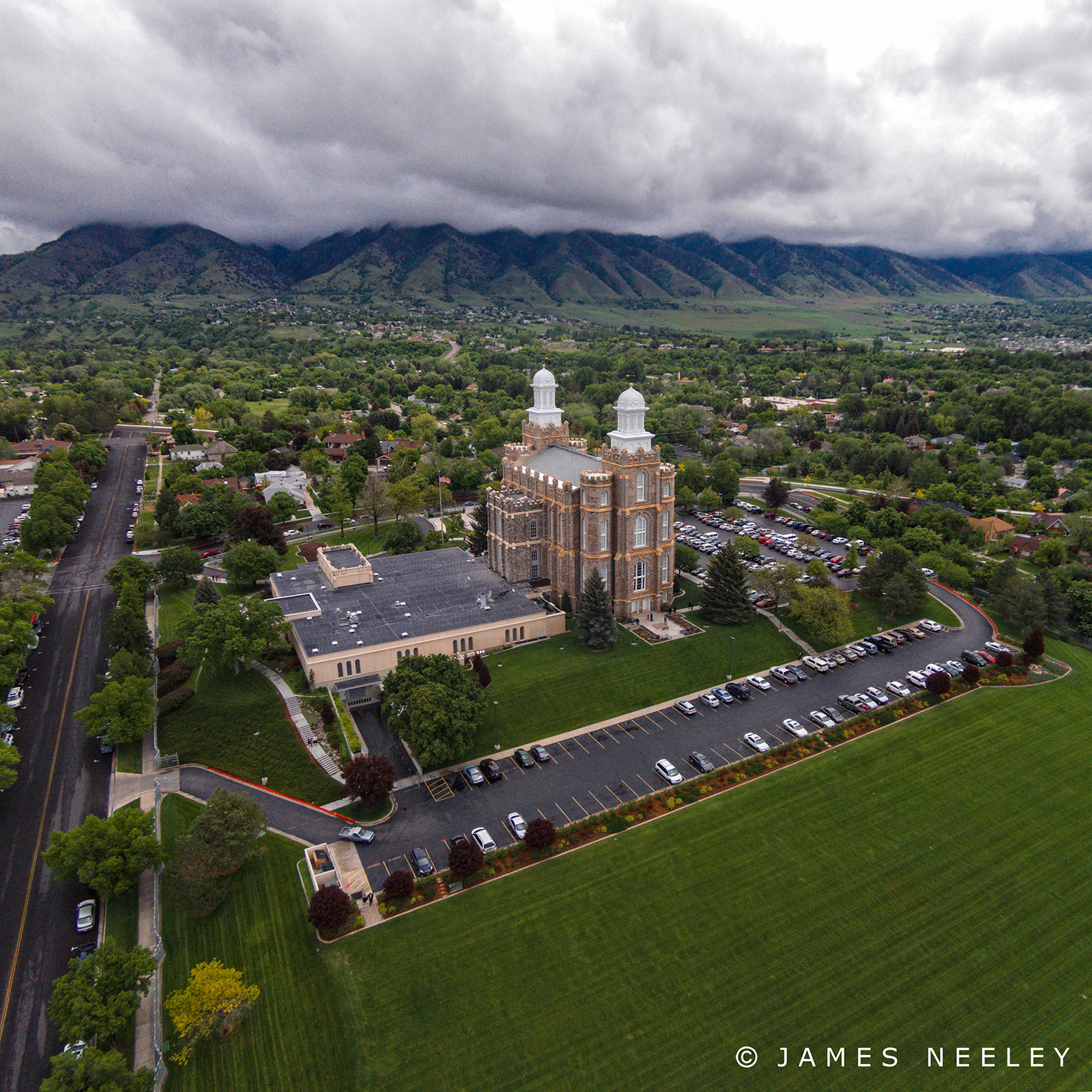
Temple on the Hill
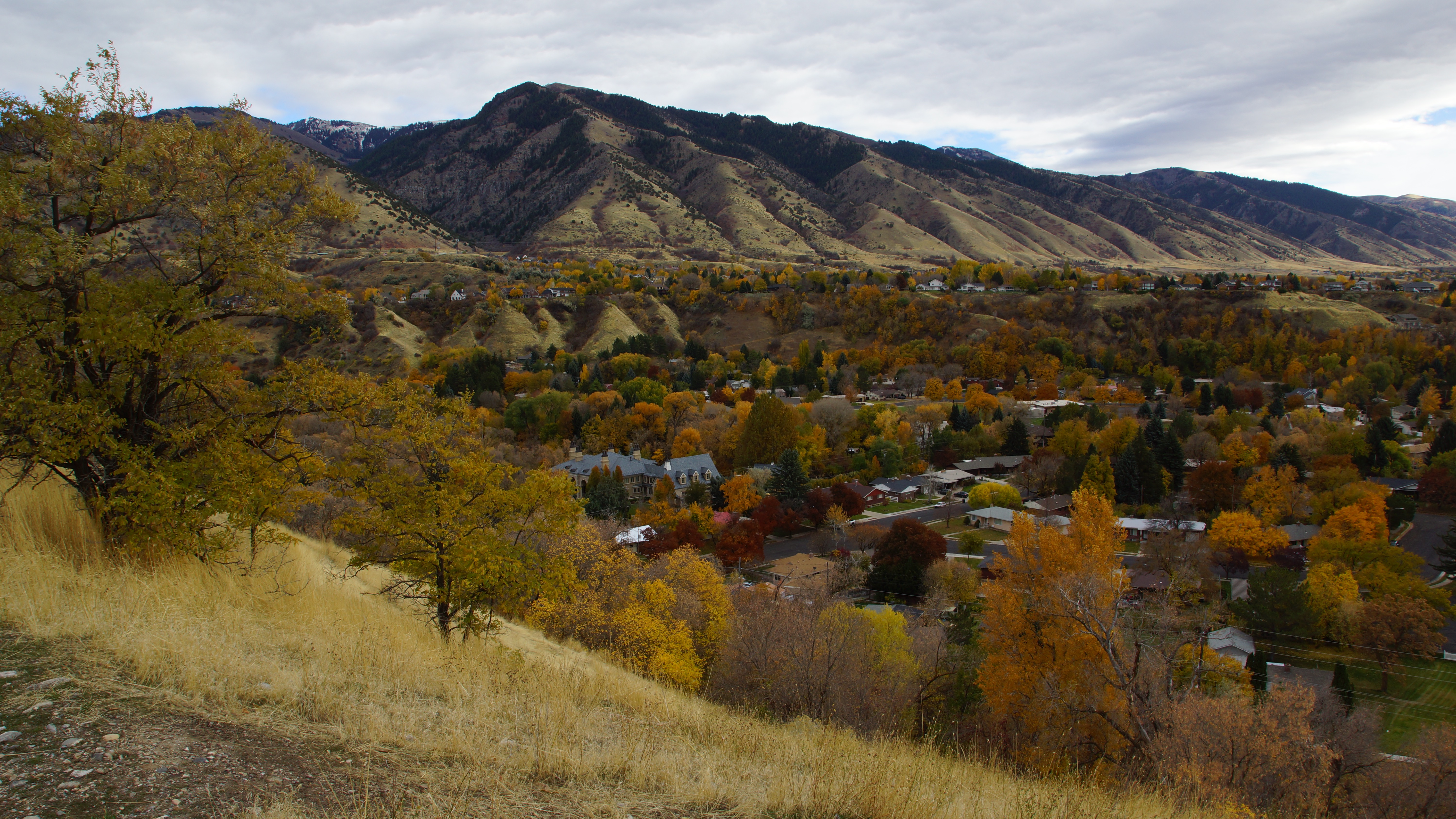
Mendon Utah view of Cache National Forrest
A Room with a view

Clear Tracks Ahead

Bear River Bird Refuge
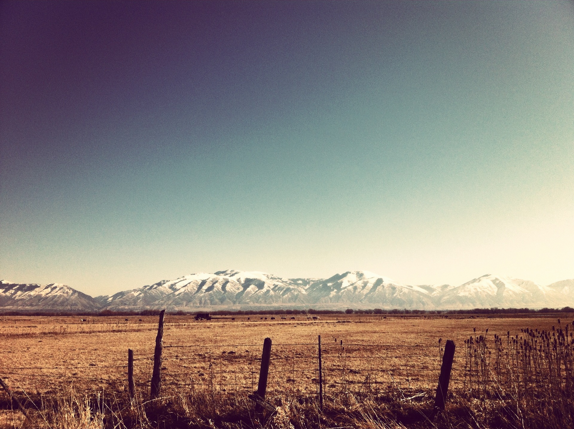
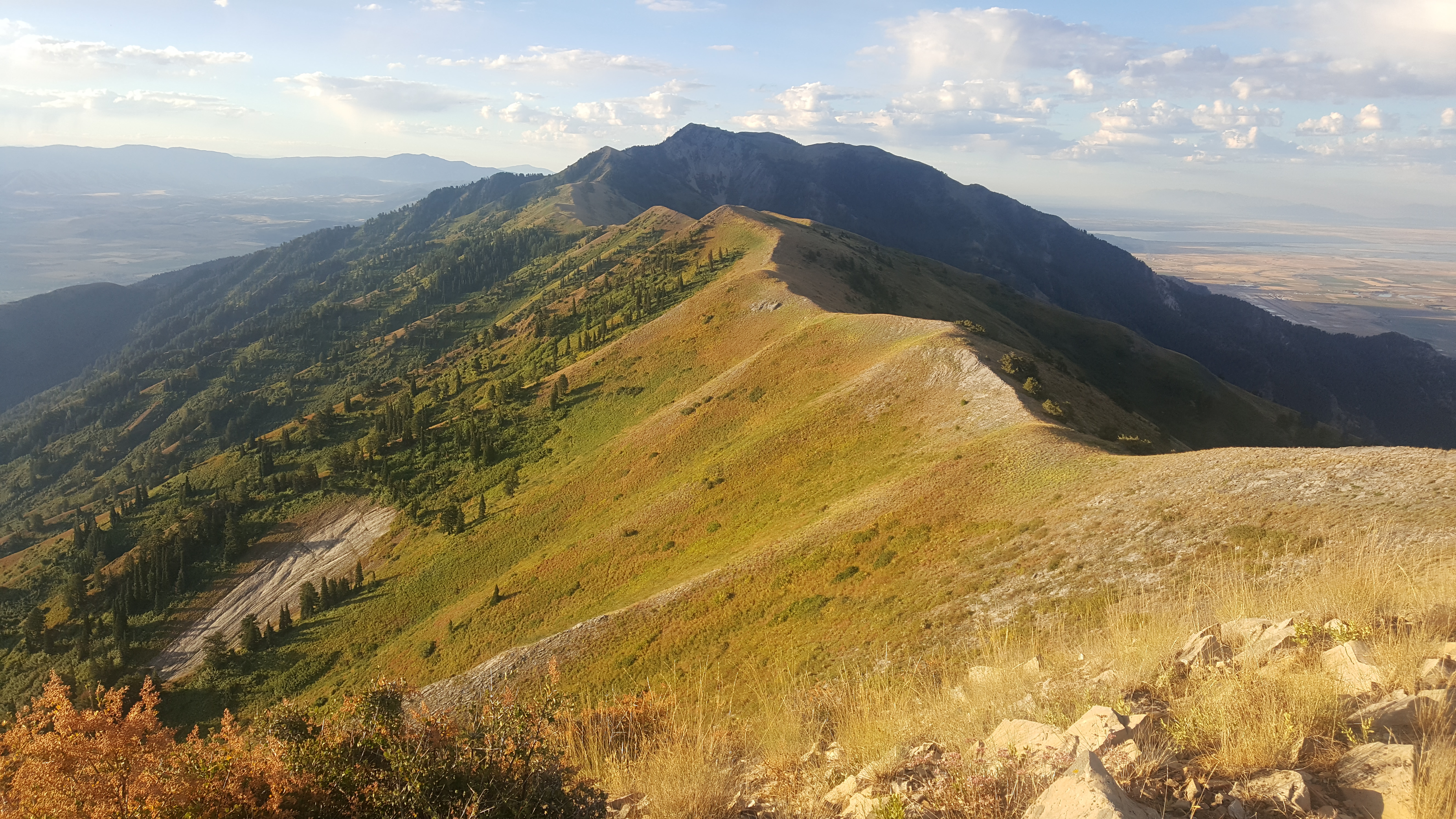
Wasatch Mountains
Crumb Brothers View

The Main Road through USU Campus
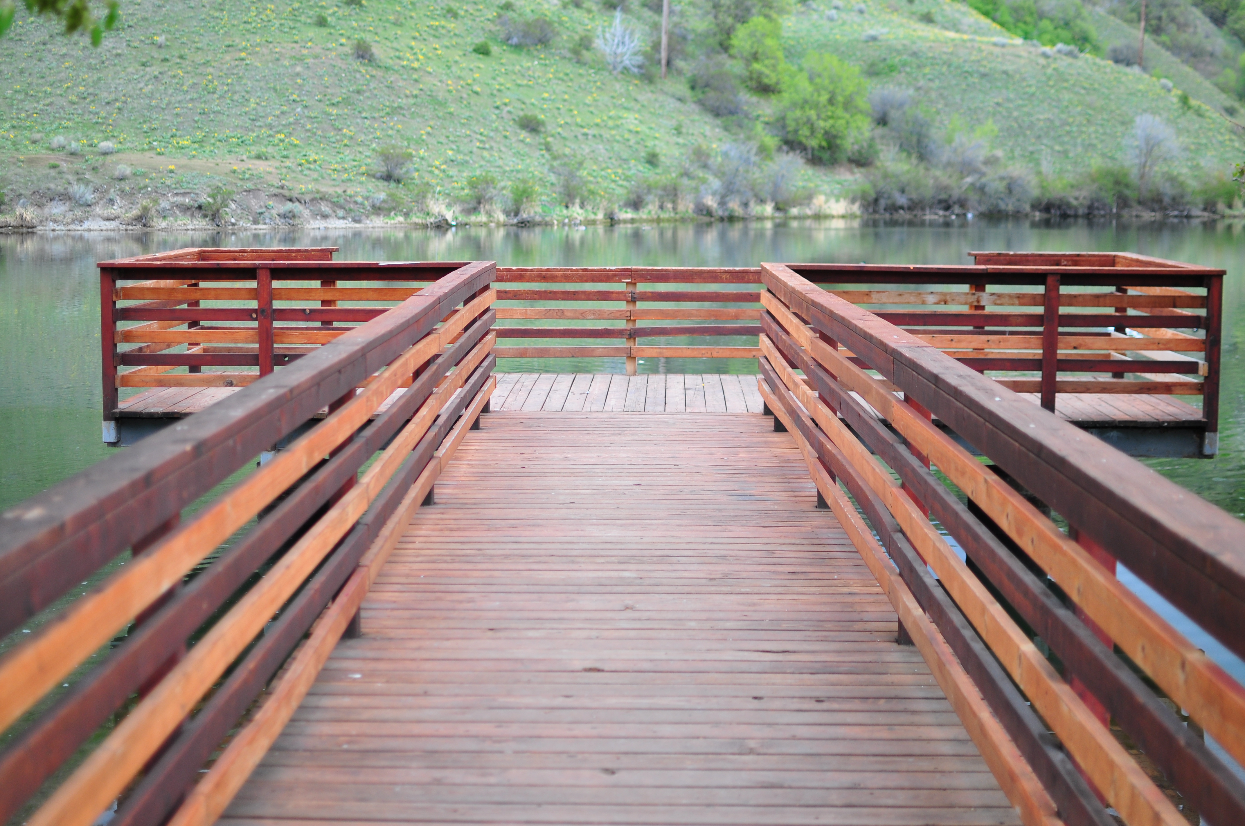
View from the Bridge
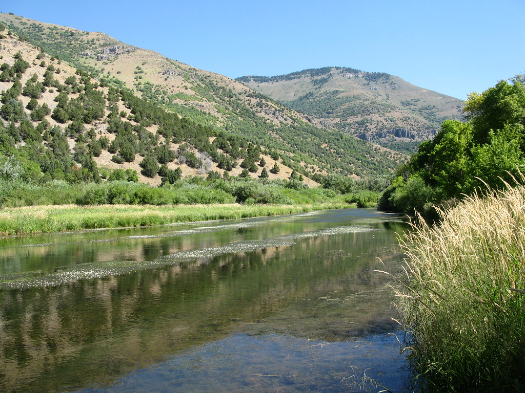
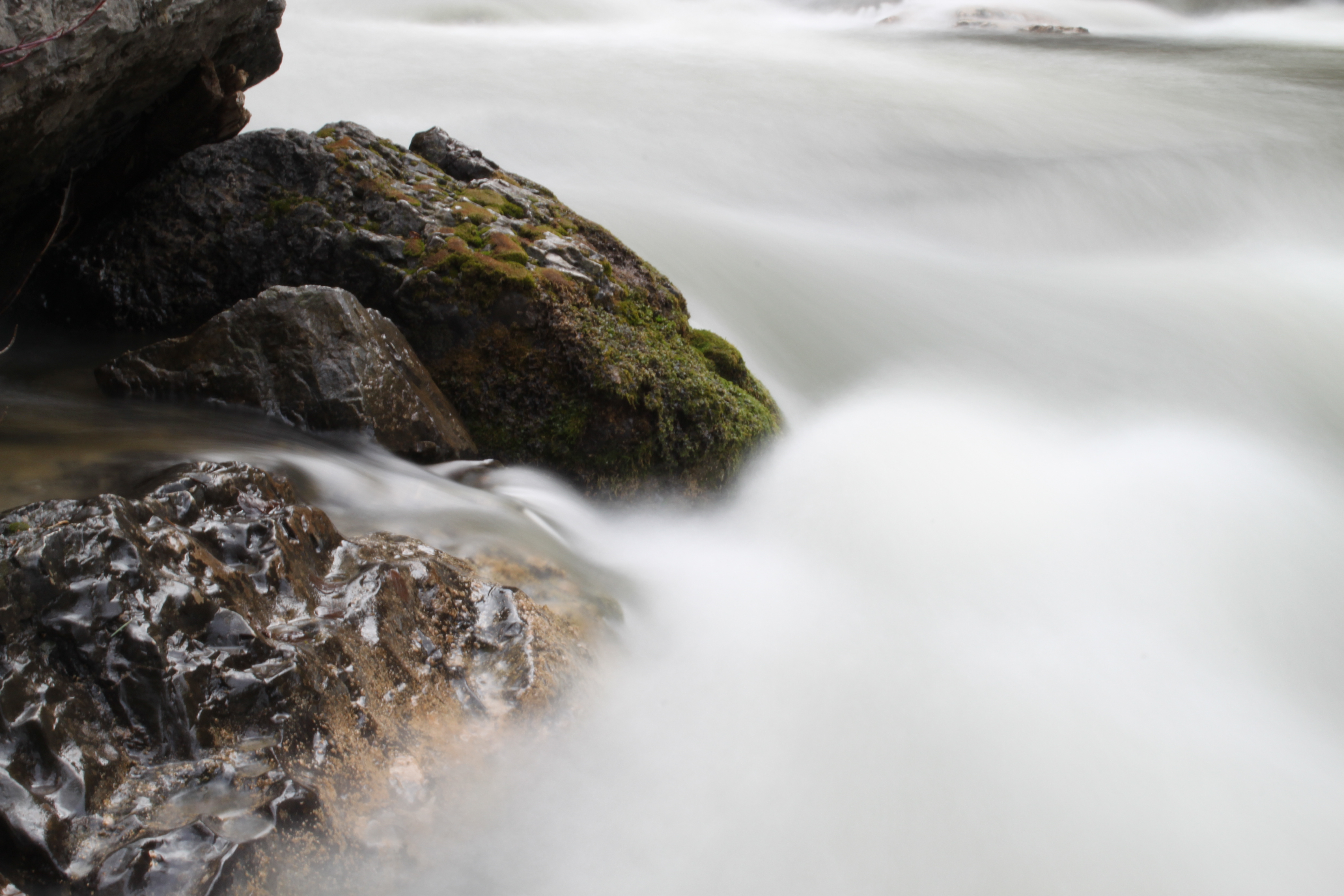
Logan River
First Dam Lookout

Evening Calm
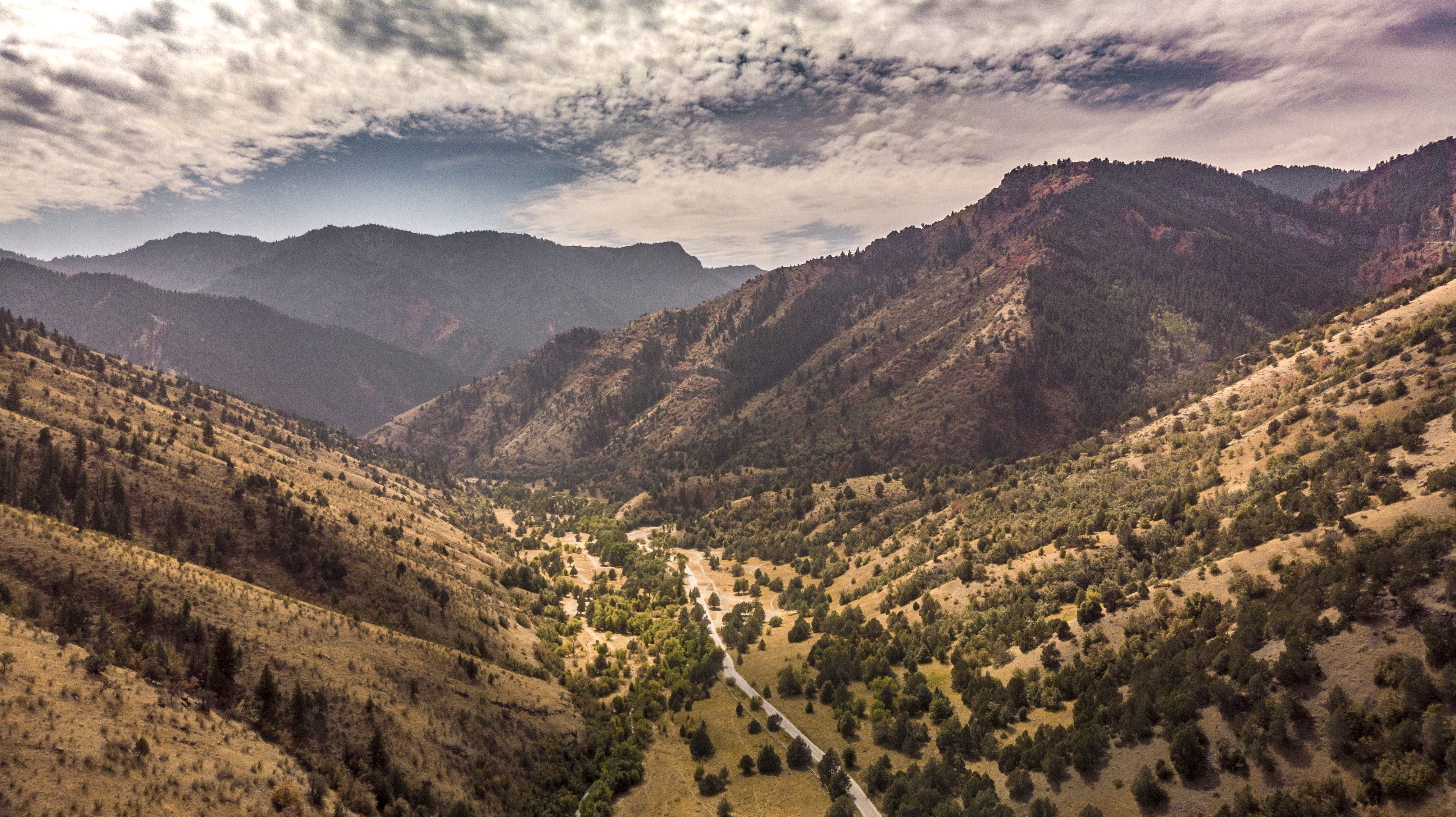
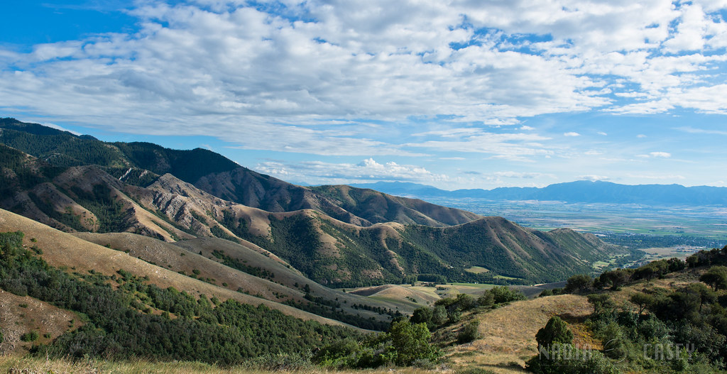
Mountain Landscape
Left hand Fork off Black Smith Fork
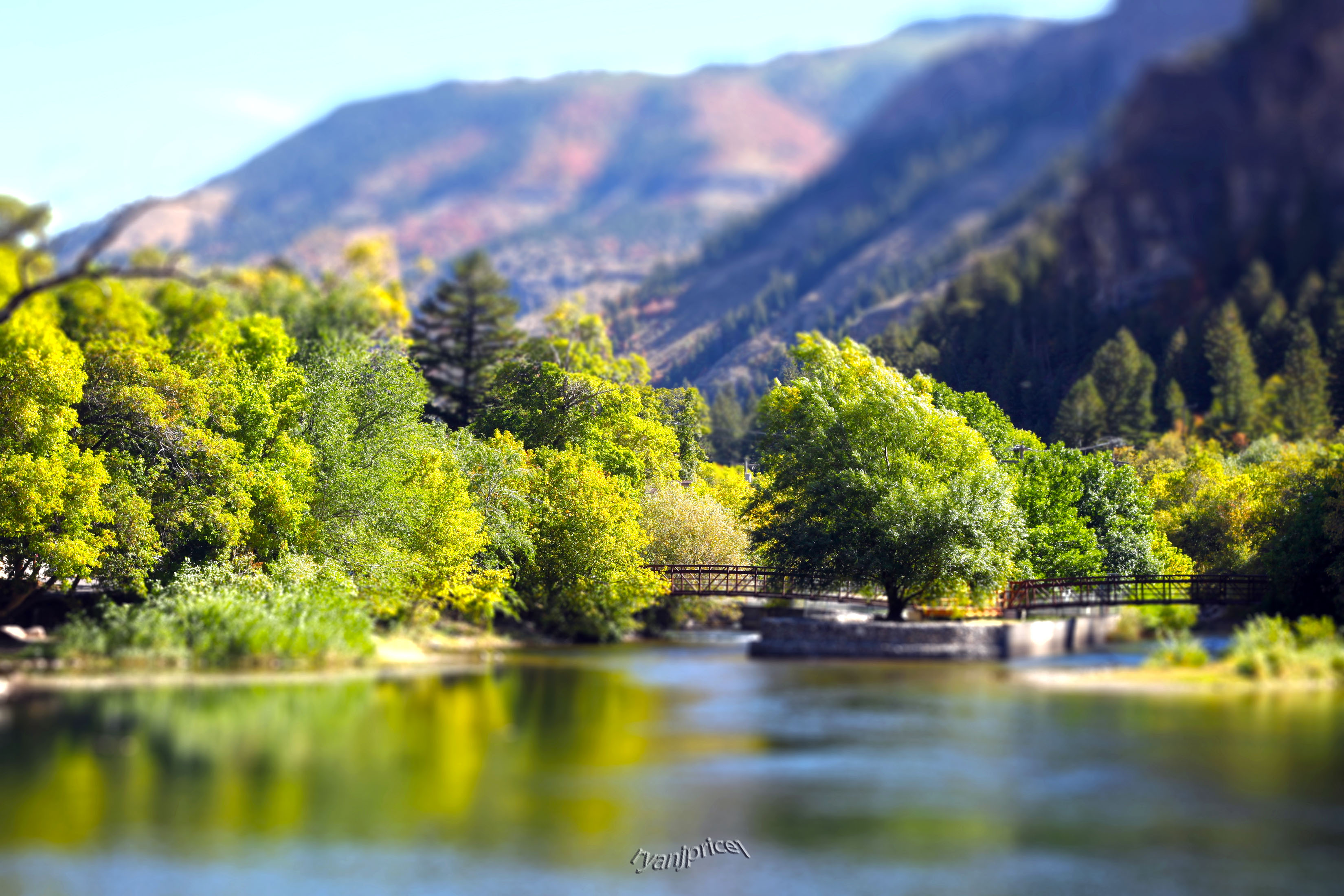
Logan River with Tiltshift
2017-08-26 07.35.17

Logan River near Wood Camp in Logan Canyon
Smithfield Canyon - Utah, USA
Logan River near Wood Camp in Logan Canyon

Wellsville Mountains

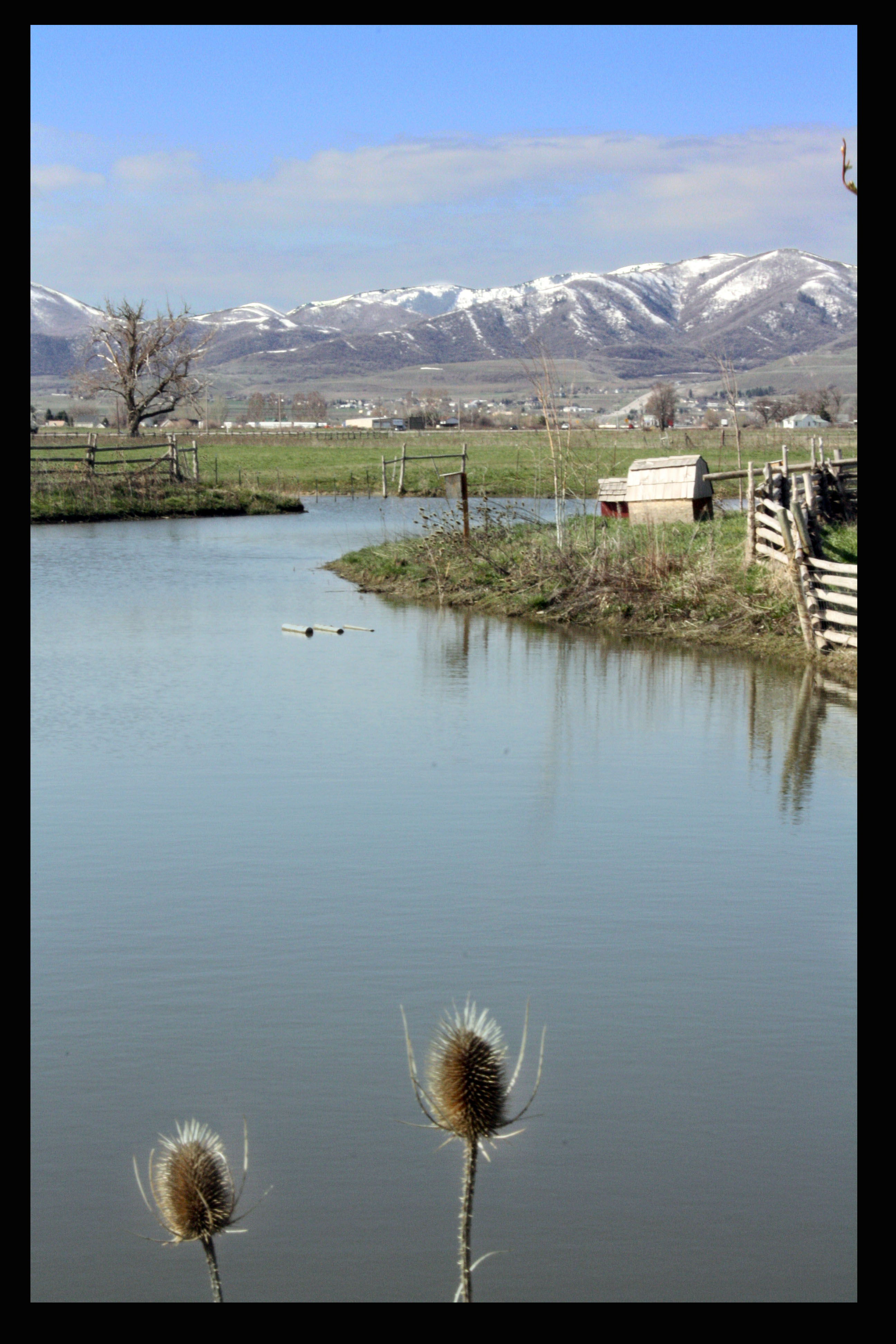
Winter 2013 Inversion Cache Valley Utah
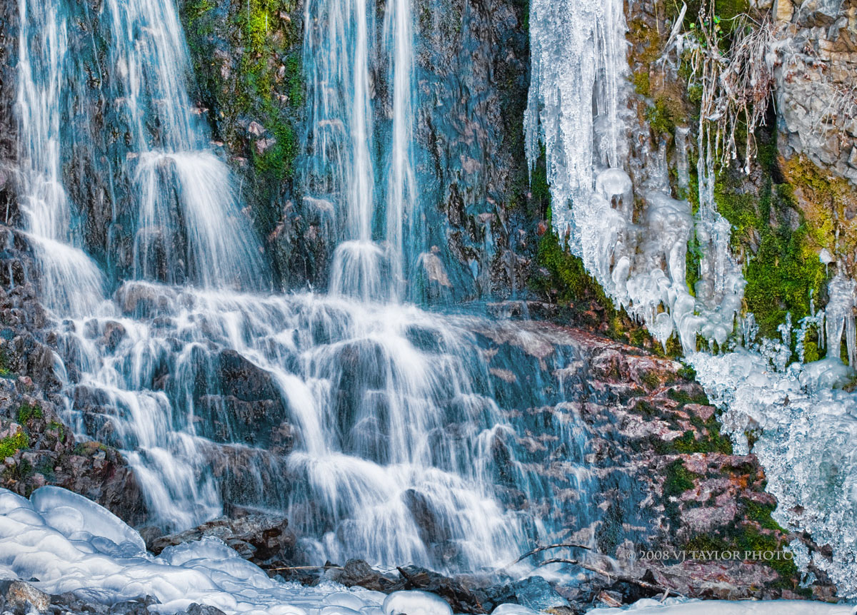
Water and Ice

The woman's tonic !
Looking over the Island.
Clouds at pumpkin walk
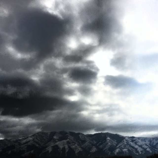
It Is Coming
Topographic Map of E N, Logan, UT, USA
Find elevation by address:

Places near E N, Logan, UT, USA:
543 E 1800 N
1050 N Main St
Track (ralph Maughan)
2100 N Main St
Utah State University
341 E 300 N
E N, North Logan, UT, USA
200 N 300 E
Logan
North Logan
175 N 300 E
Daryl Chase Fine Arts Center
East 2100 North
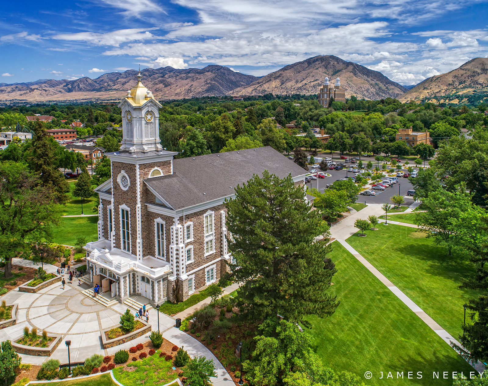
Logan Utah Temple
1379 E 1700 N
200 N 300 W
Logan, UT, USA
River Heights
867 W 400 N
1358 E 3100 N
Recent Searches:
- Elevation of East W.T. Harris Boulevard, E W.T. Harris Blvd, Charlotte, NC, USA
- Elevation of West Sugar Creek, Charlotte, NC, USA
- Elevation of Wayland, NY, USA
- Elevation of Steadfast Ct, Daphne, AL, USA
- Elevation of Lagasgasan, X+CQH, Tiaong, Quezon, Philippines
- Elevation of Rojo Ct, Atascadero, CA, USA
- Elevation of Flagstaff Drive, Flagstaff Dr, North Carolina, USA
- Elevation of Avery Ln, Lakeland, FL, USA
- Elevation of Woolwine, VA, USA
- Elevation of Lumagwas Diversified Farmers Multi-Purpose Cooperative, Lumagwas, Adtuyon, RV32+MH7, Pangantucan, Bukidnon, Philippines