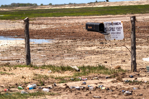
Elevation of E Matagorda Dr, Port Mansfield, TX, USA
Location: United States > Texas > Willacy County > Port Mansfield >
Longitude: -97.420868
Latitude: 26.5403417
Elevation: 2m / 7feet
Barometric Pressure: 101KPa
Related Photos:
Topographic Map of E Matagorda Dr, Port Mansfield, TX, USA
Find elevation by address:

Places near E Matagorda Dr, Port Mansfield, TX, USA:
Port Mansfield
935 W Port Dr
FM, Rio Hondo, TX, USA
San Perlita
Willacy County
Fernando East Rd, Rio Hondo, TX, USA
Texon Rd, Rio Hondo, TX, USA
FM, Rio Hondo, TX, USA
Rio Hondo
Monterrey St, Raymondville, TX, USA
Raymondville
Los Angeles Subdivision
N Sam Houston Blvd, Rio Hondo, TX, USA
Dario St, Lyford, TX, USA
Valley International Airport
Breedlove St, Harlingen, TX, USA
140 Madelyn Rose
142 Madelyn Rose
Cameron County
FM, Raymondville, TX, USA
Recent Searches:
- Elevation of Lust Road, Lust Rd, Florida, USA
- Elevation of Pleasant Valley Rd NW, Adairsville, GA, USA
- Elevation of Općina Šodolovci, Croatia
- Elevation of Šodolovci, Croatia
- Elevation of Old Clairton Rd, Jefferson Hills, PA, USA
- Elevation of st Ave SE, Lisbon, ND, USA
- Elevation of Steamboat Island Road Northwest, Olympia, WA, USA
- Elevation of Kootenai Trail Rd, Bonners Ferry, ID, USA
- Elevation of Hickory Blvd, Bonita Springs, FL, USA
- Elevation of Lalagbene, Bayelsa, Nigeria
