Elevation of E Main St, Little Falls, NY, USA
Location: United States > New York > Herkimer County > Little Falls >
Longitude: -74.859421
Latitude: 43.0435366
Elevation: 128m / 420feet
Barometric Pressure: 100KPa
Elevation Map:
Satellite Map:
Related Photos:
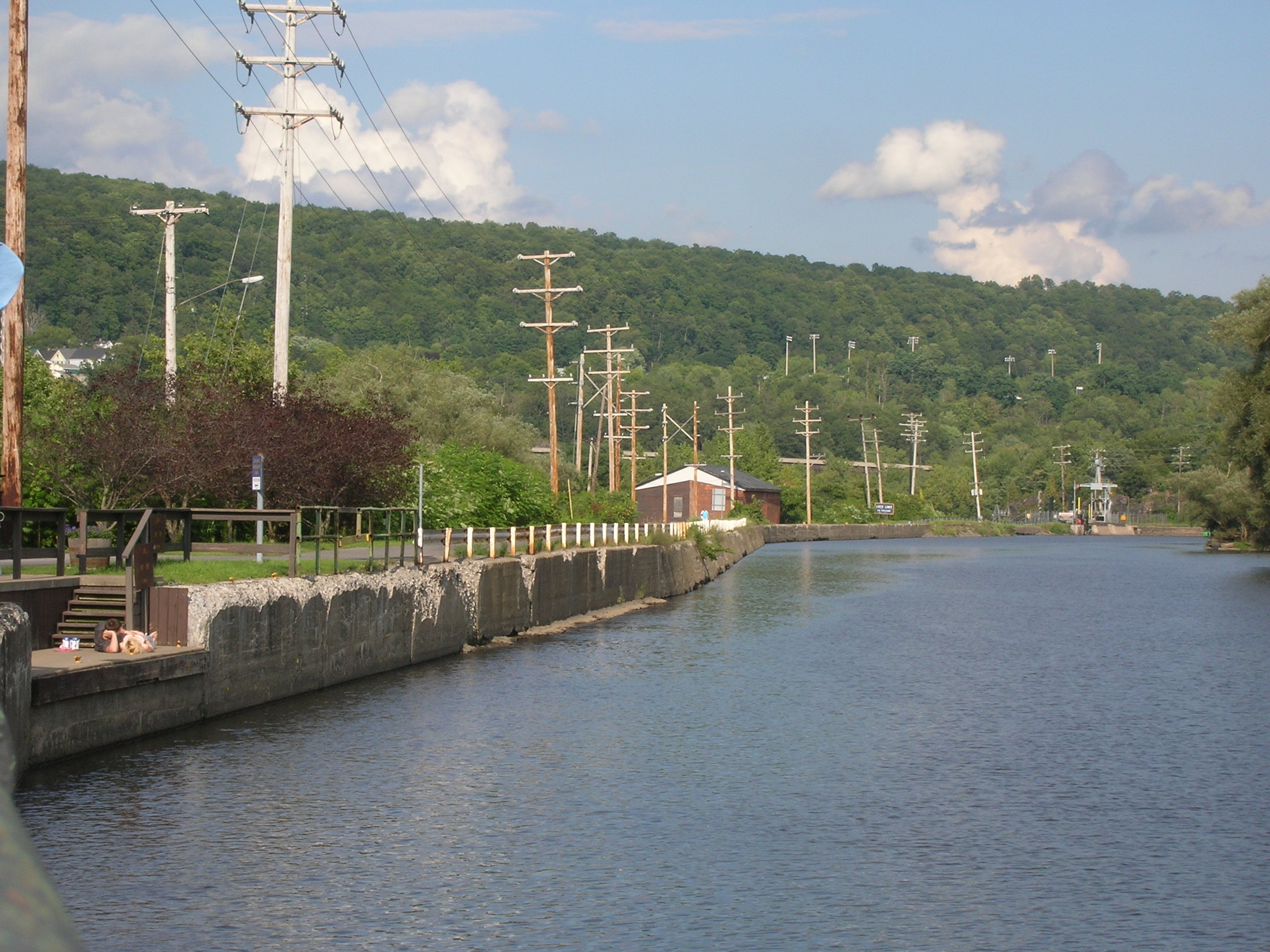
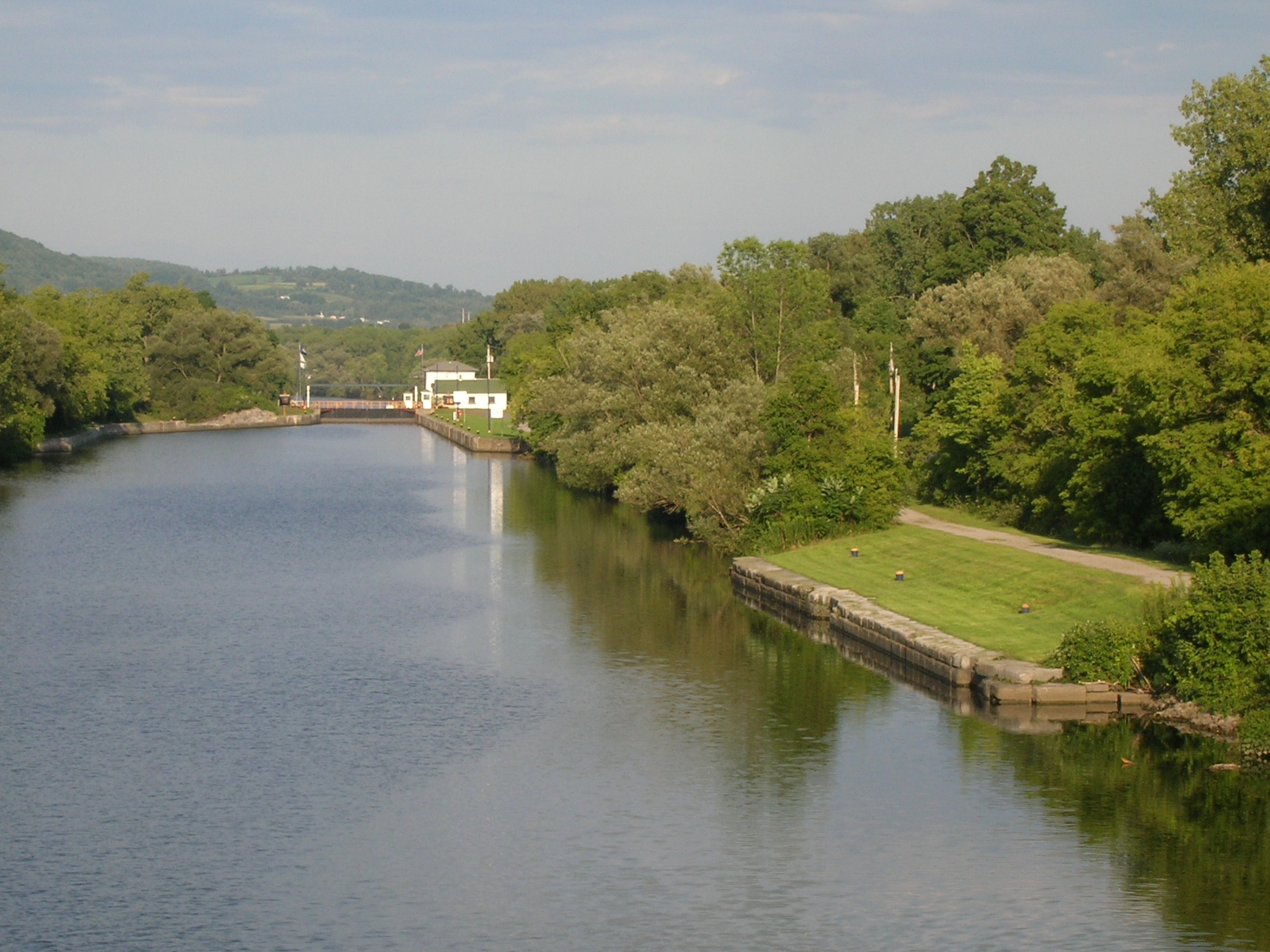
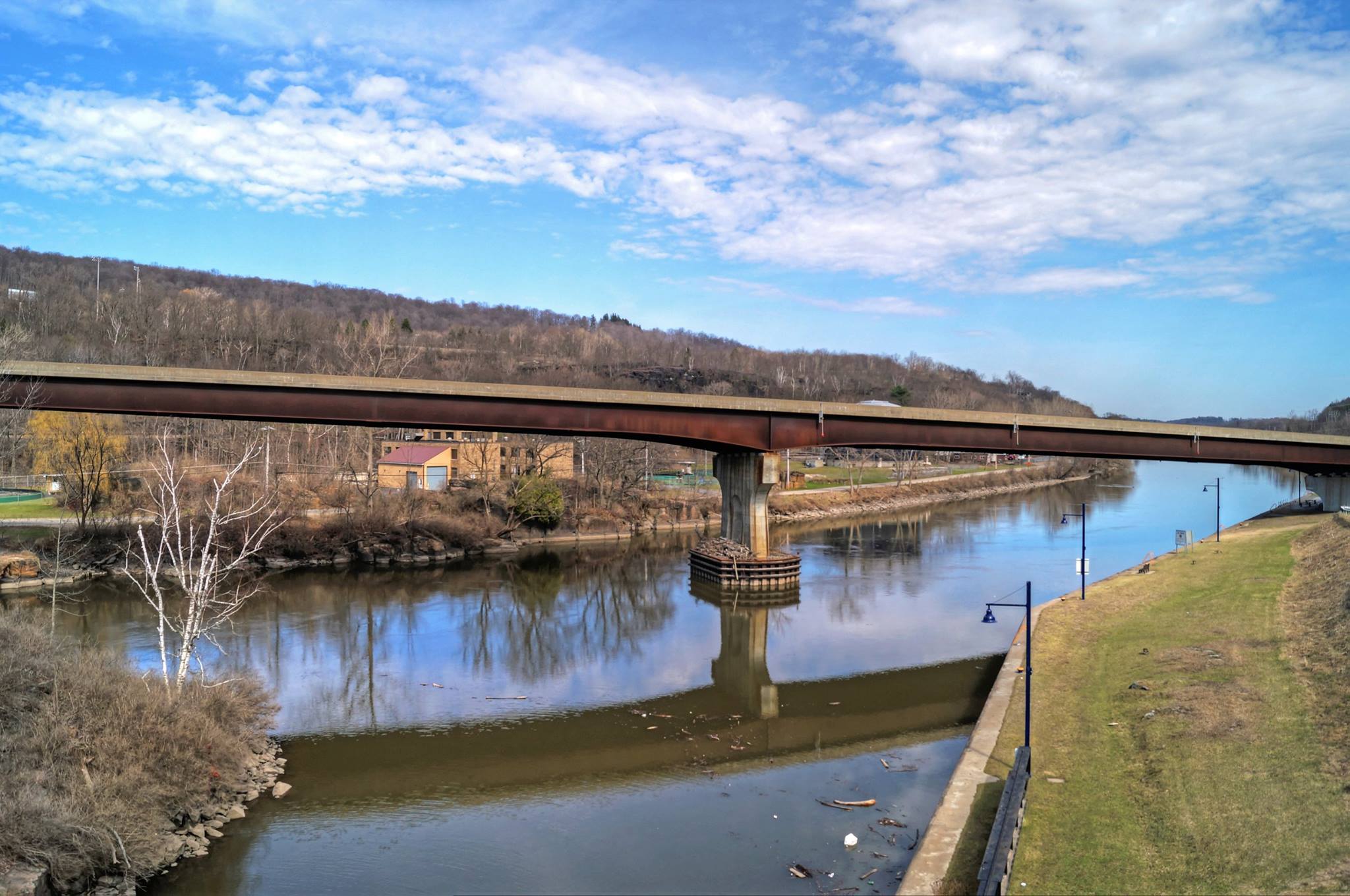
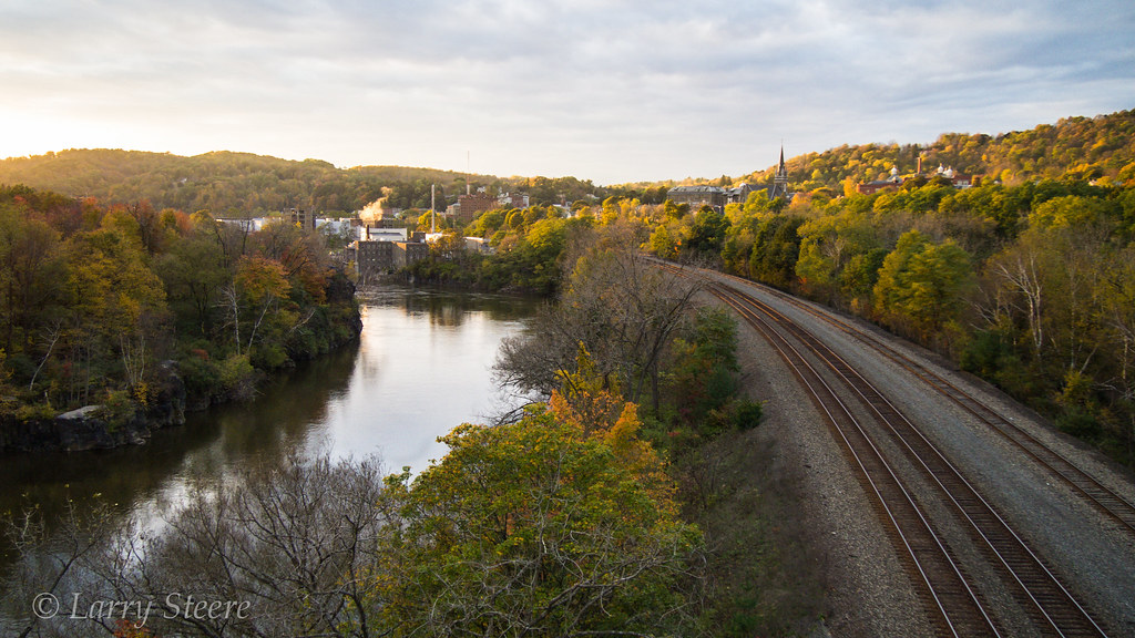
Lock 38 - Little Falls

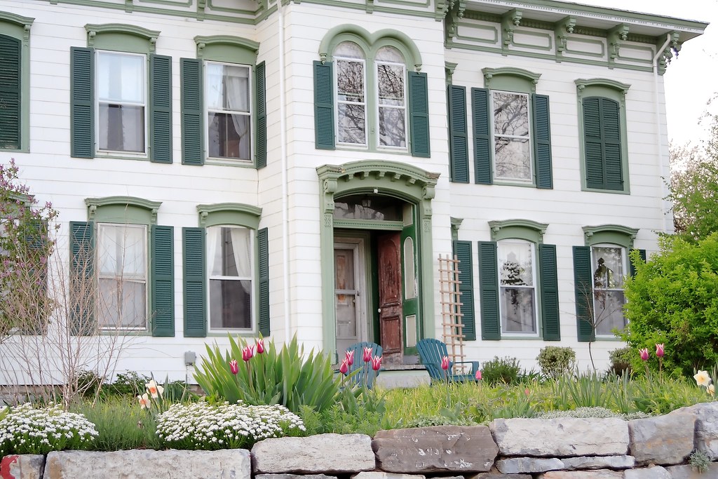
Hazelnut Farm - View of House #9
Hazelnut Farm - View of House #13
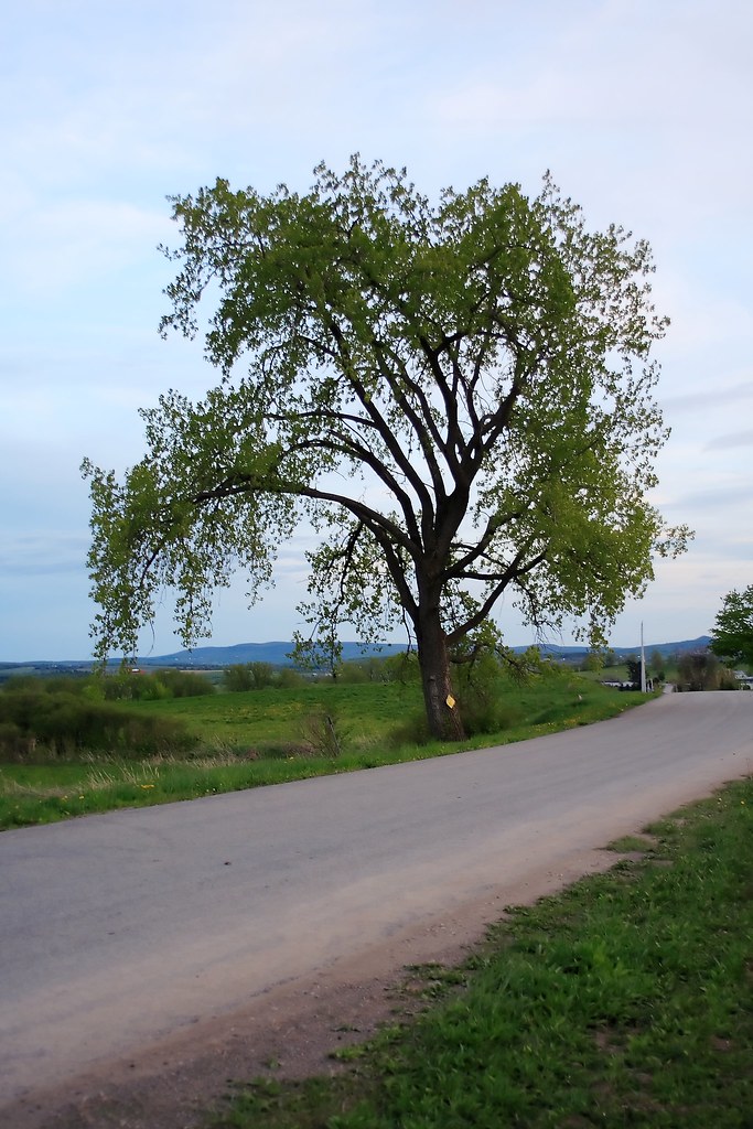
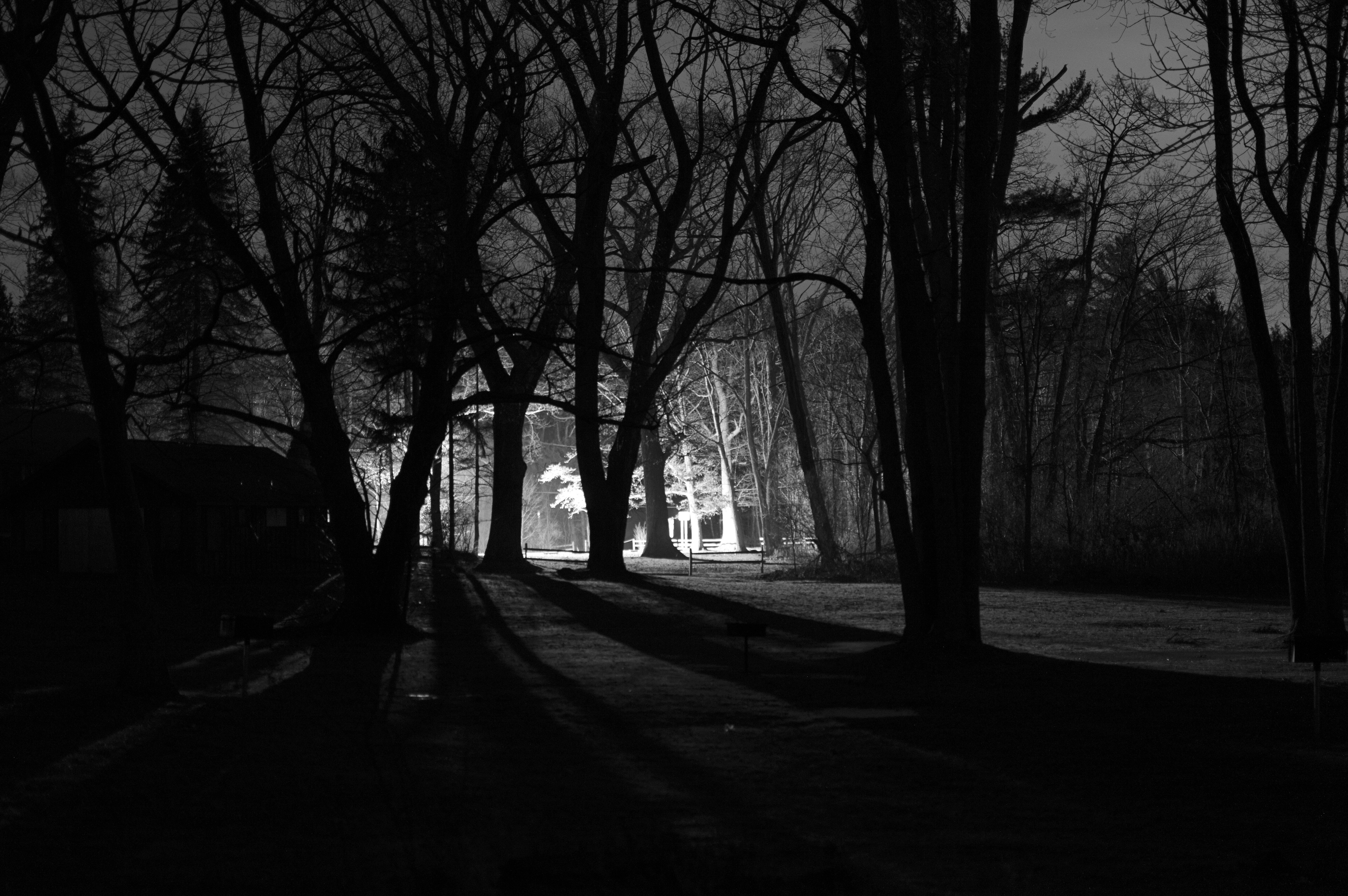
Tree at Twilight - View #1
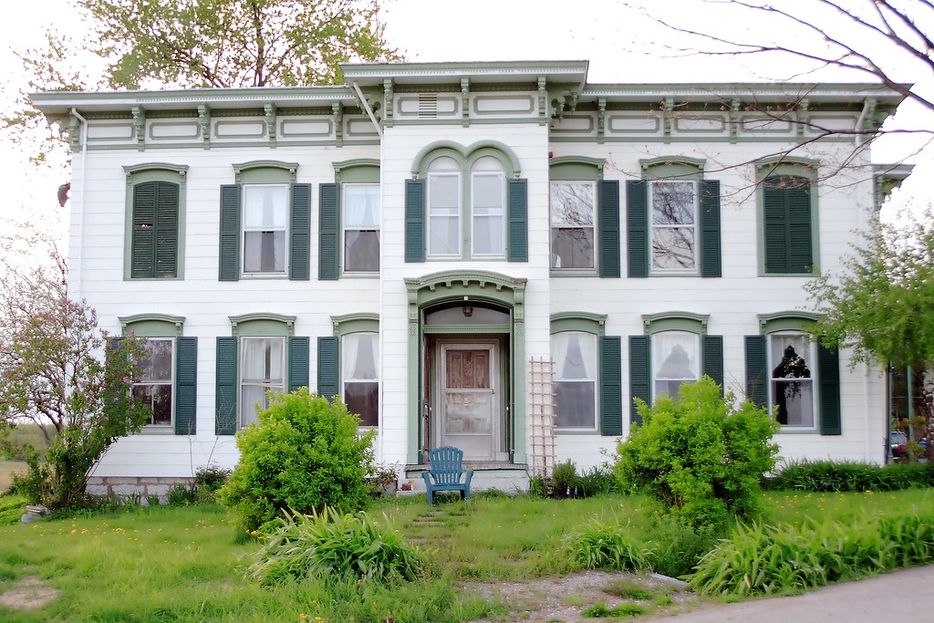
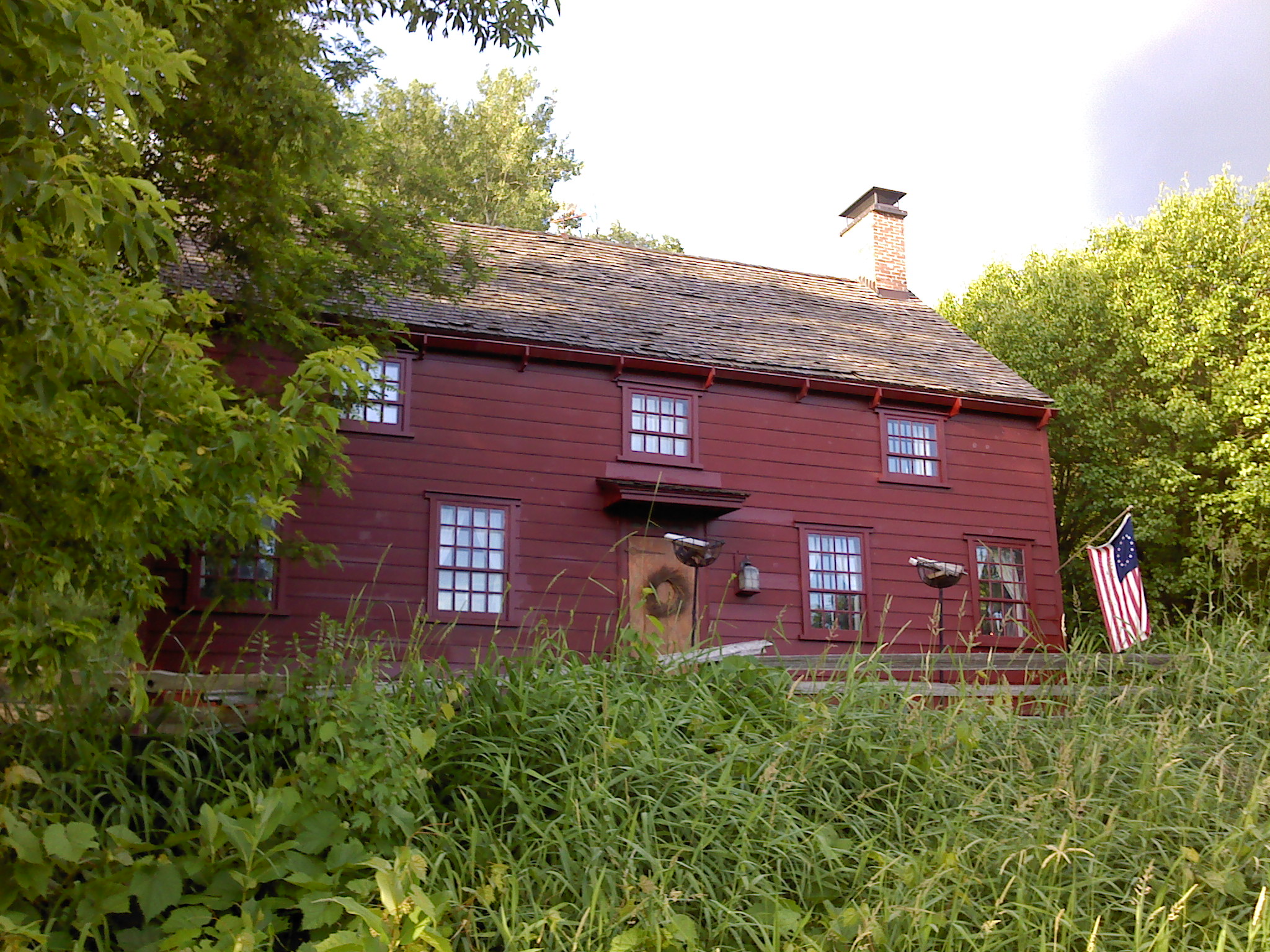
Hazelnut Farm - View of House #8
Another glamorous hotel view...
Hazelnut Farm - View of House #7
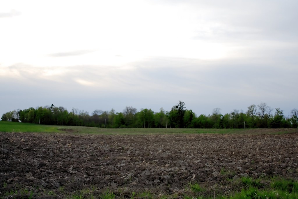
Fields and Evening Sky - View #8
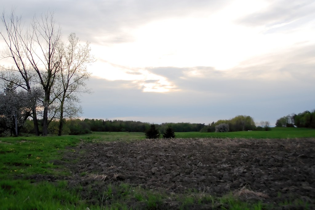
Fields and Evening Sky - View #2
Roadside Flowers - View #4
A lack of barges

Roadside Flowers - View #9

Tables 008

Back view

Erie Canal gates
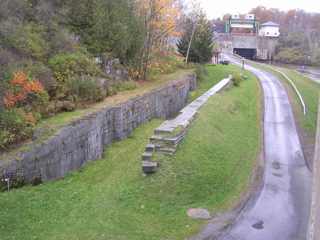
Old Erie Canal Lock 36 - Little Falls
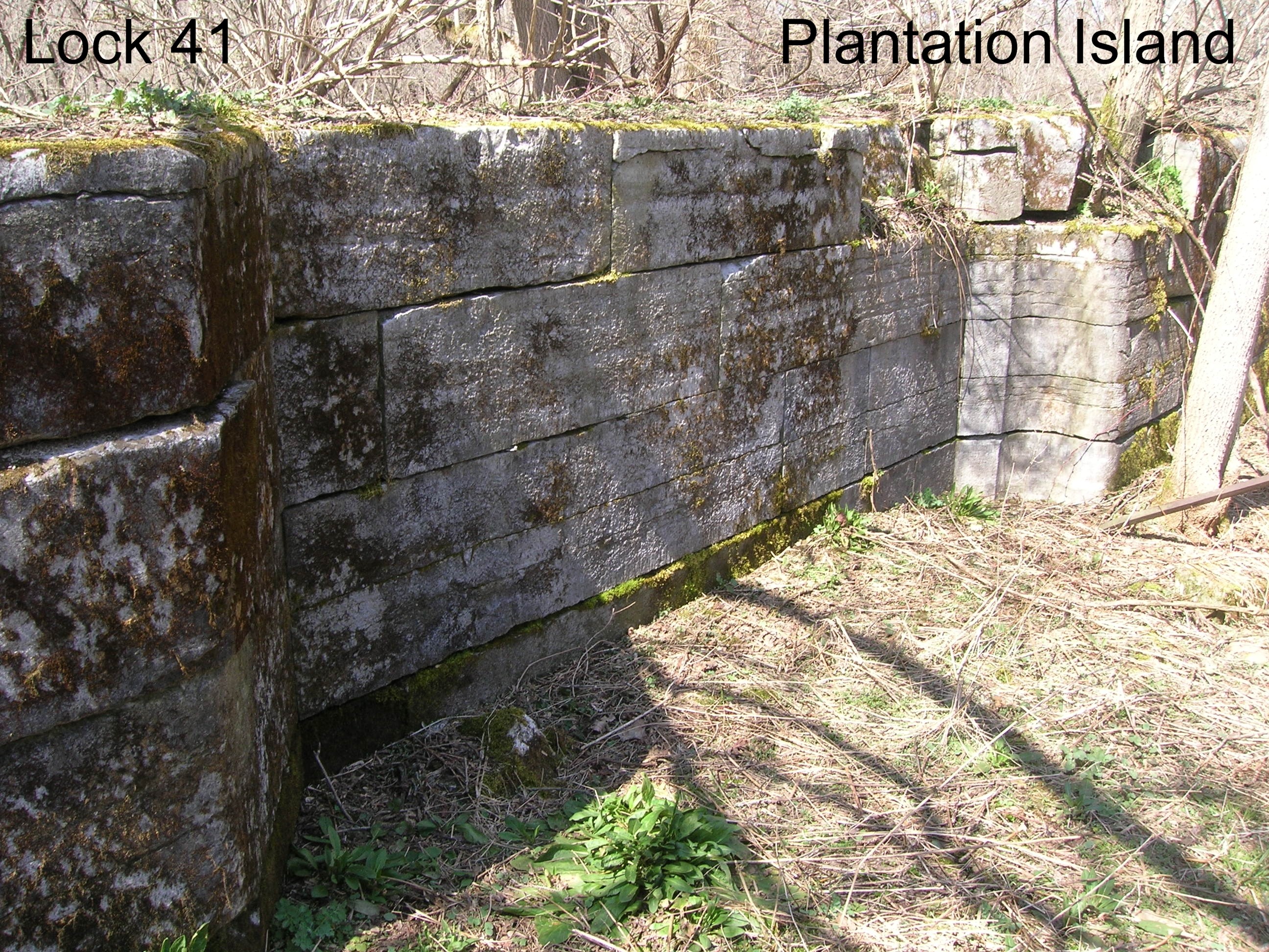
Lock 41 - Plantation Island
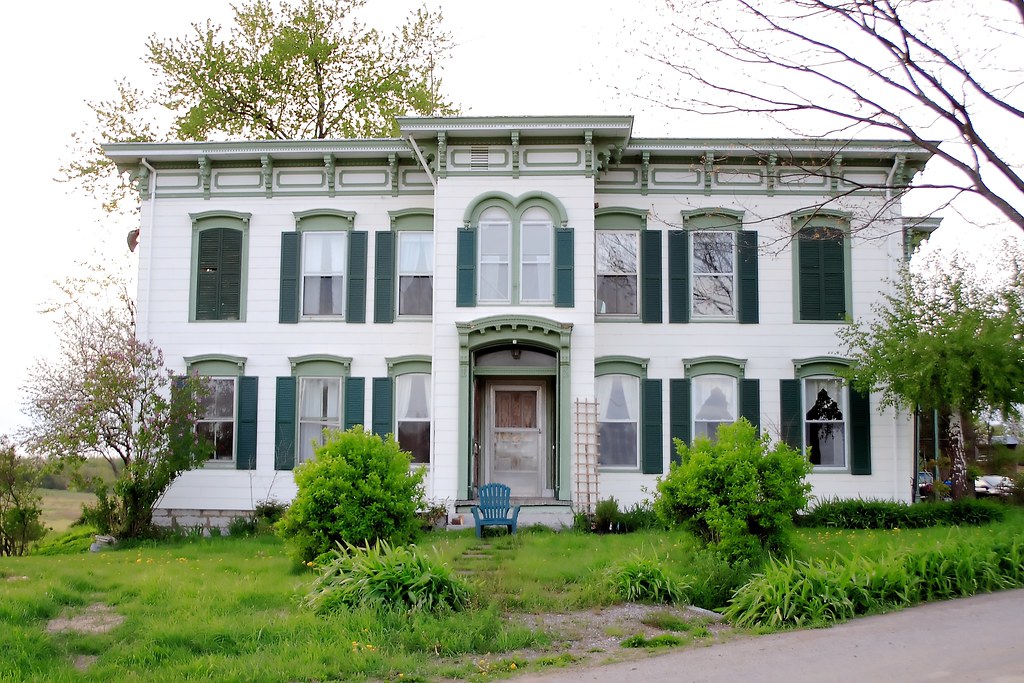
Wohleben House

greenbelt 019

Ward's View, Herkimer Co., NY

Ward's View, Herkimer Co., NY
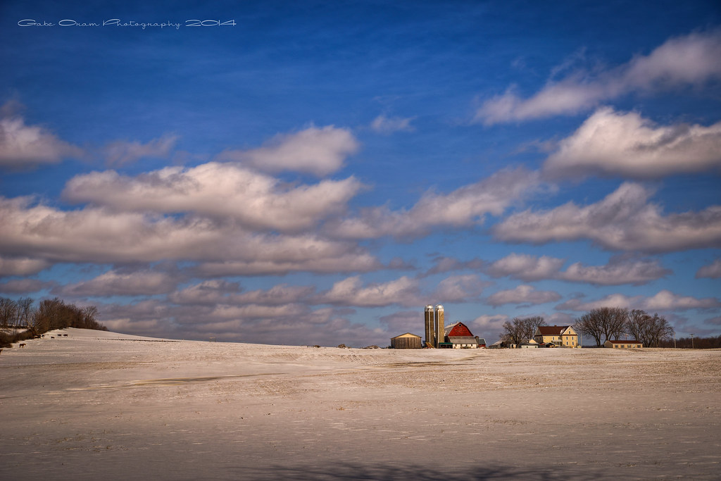
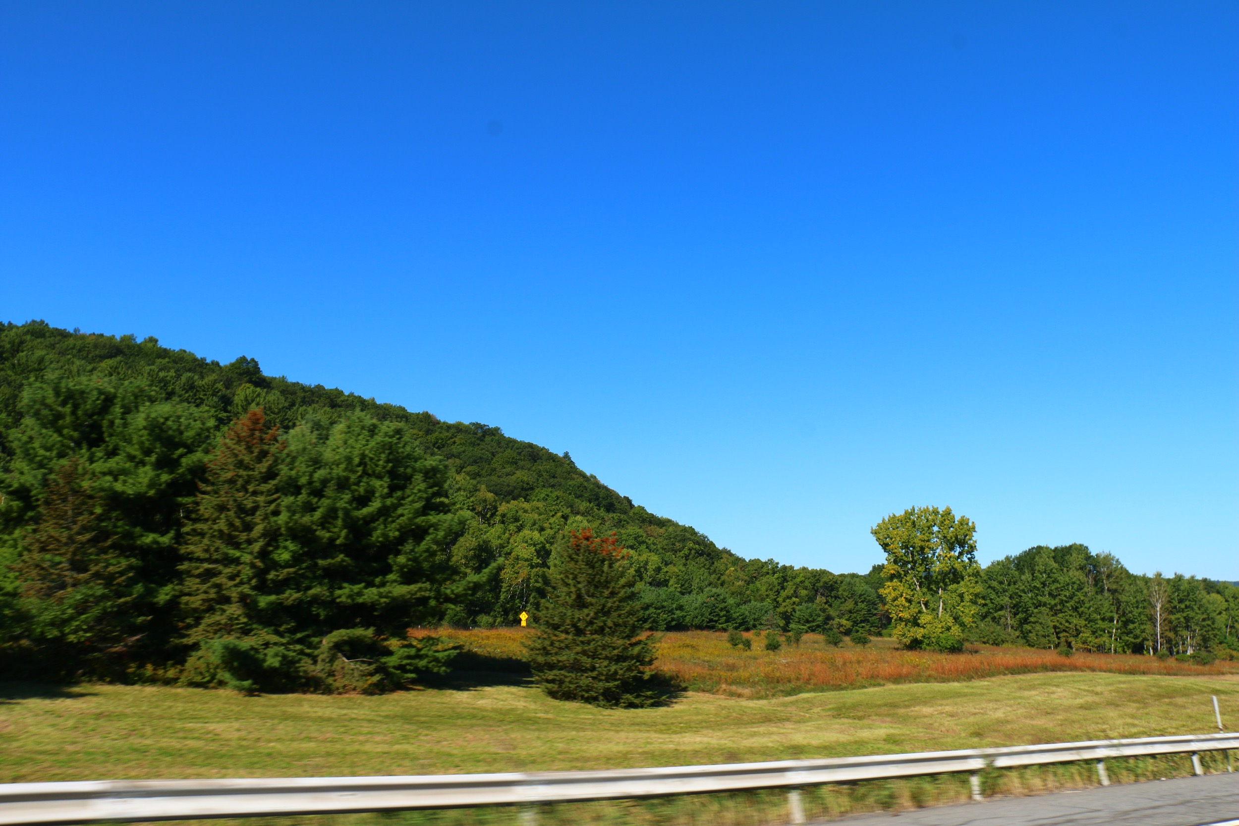
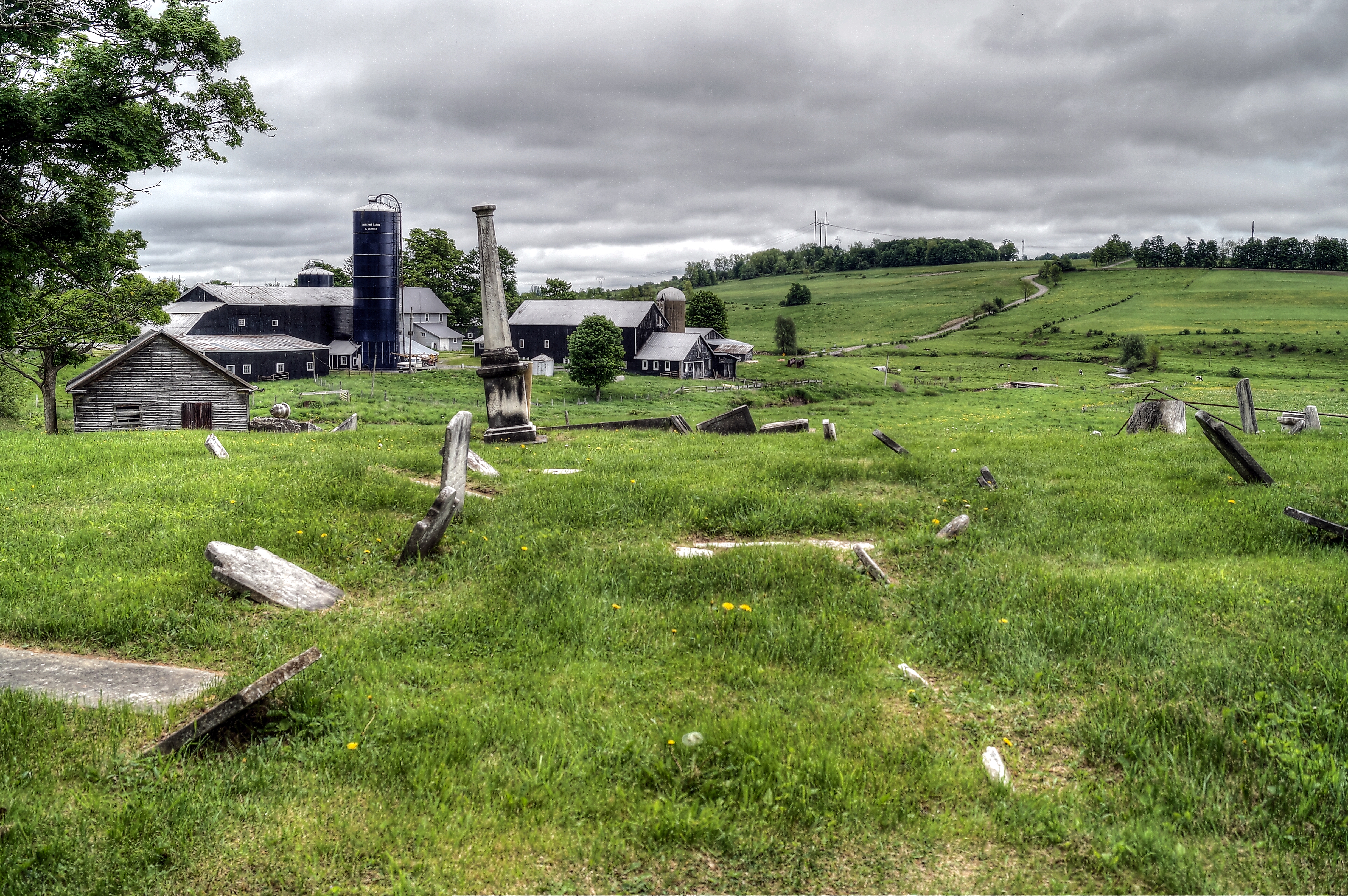
This is Farm Country
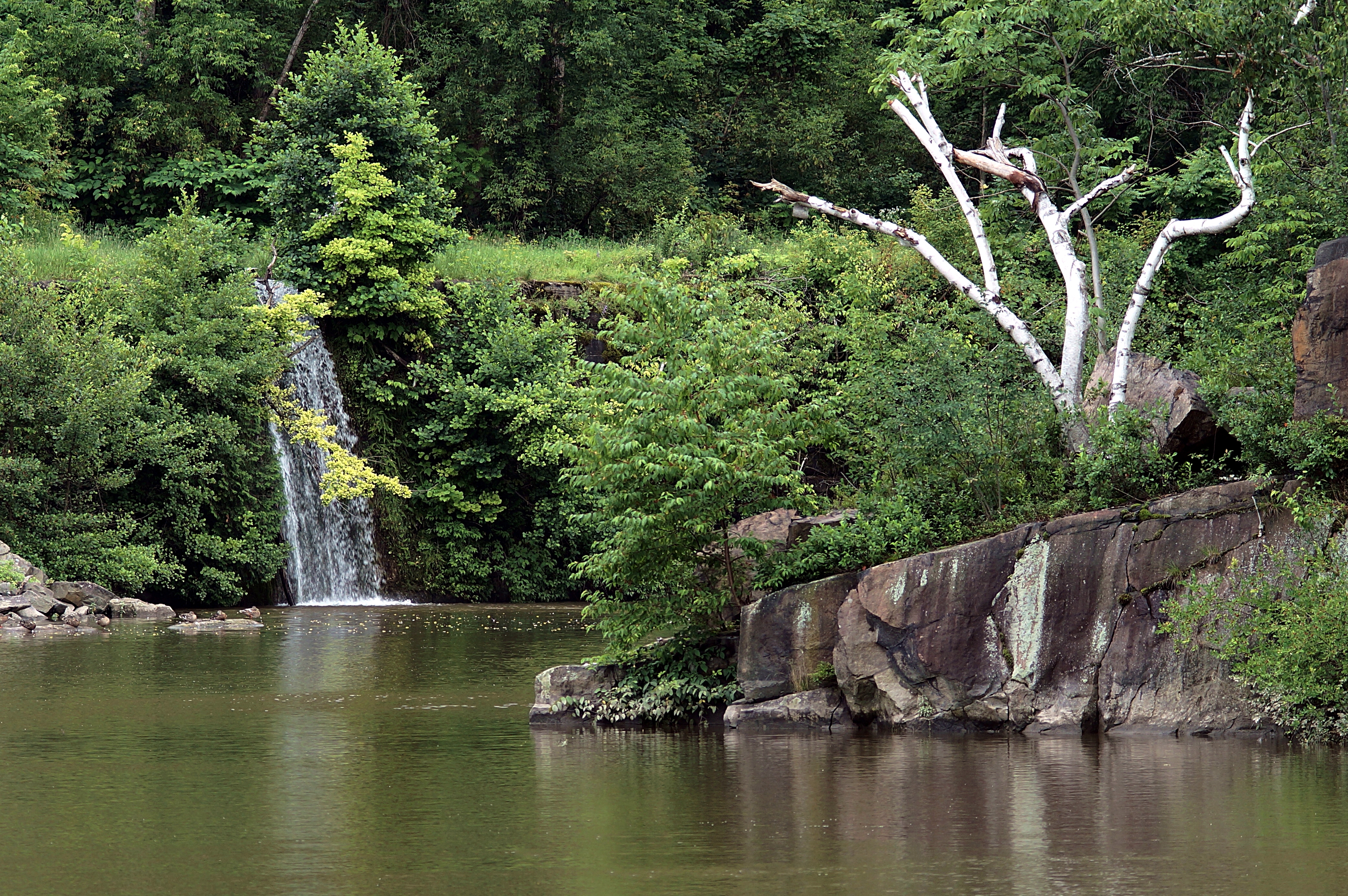
Moss Island Beauty
Unterwegs von Herkimer nach Bar Harbor
Unterwegs von Herkimer nach Bar Harbor
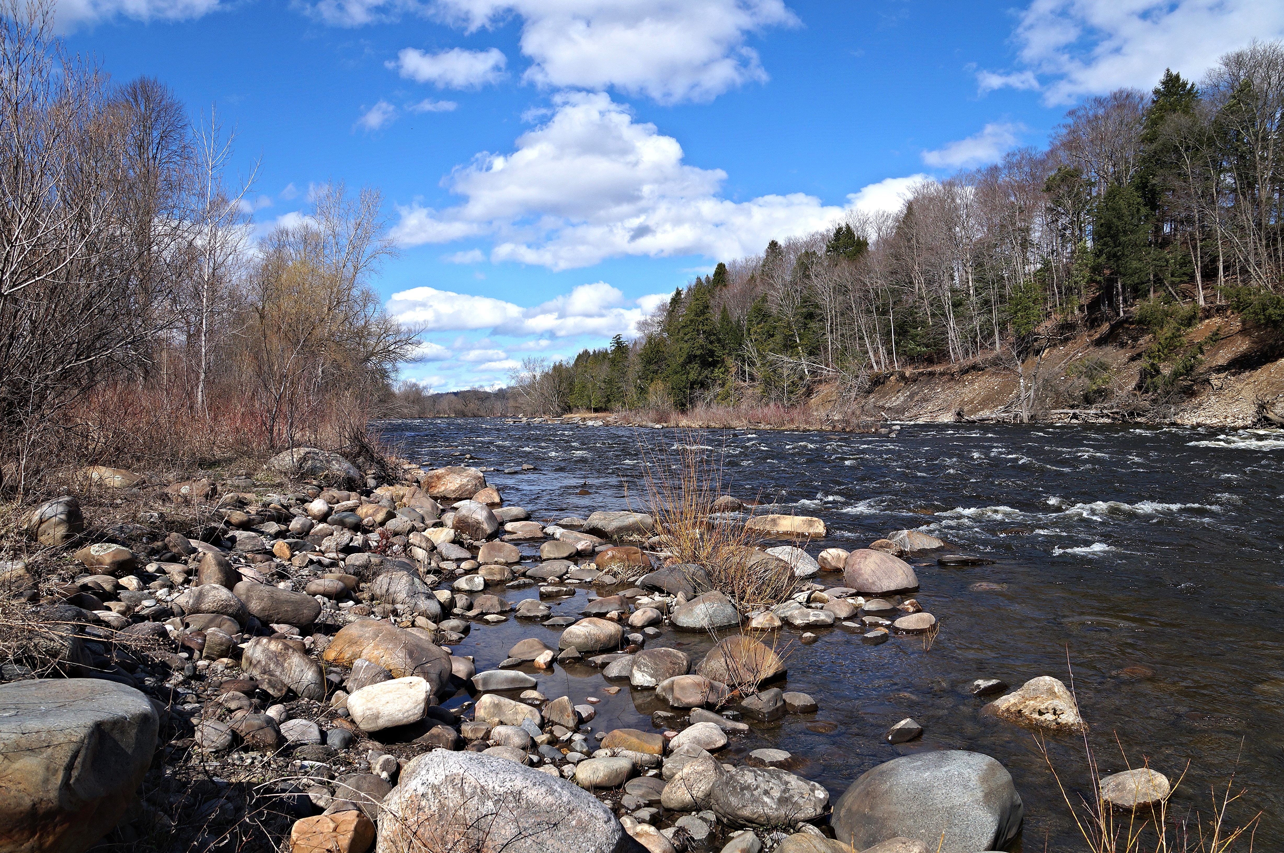
West Canada Creek
The Beauty Of The West Canada Creek
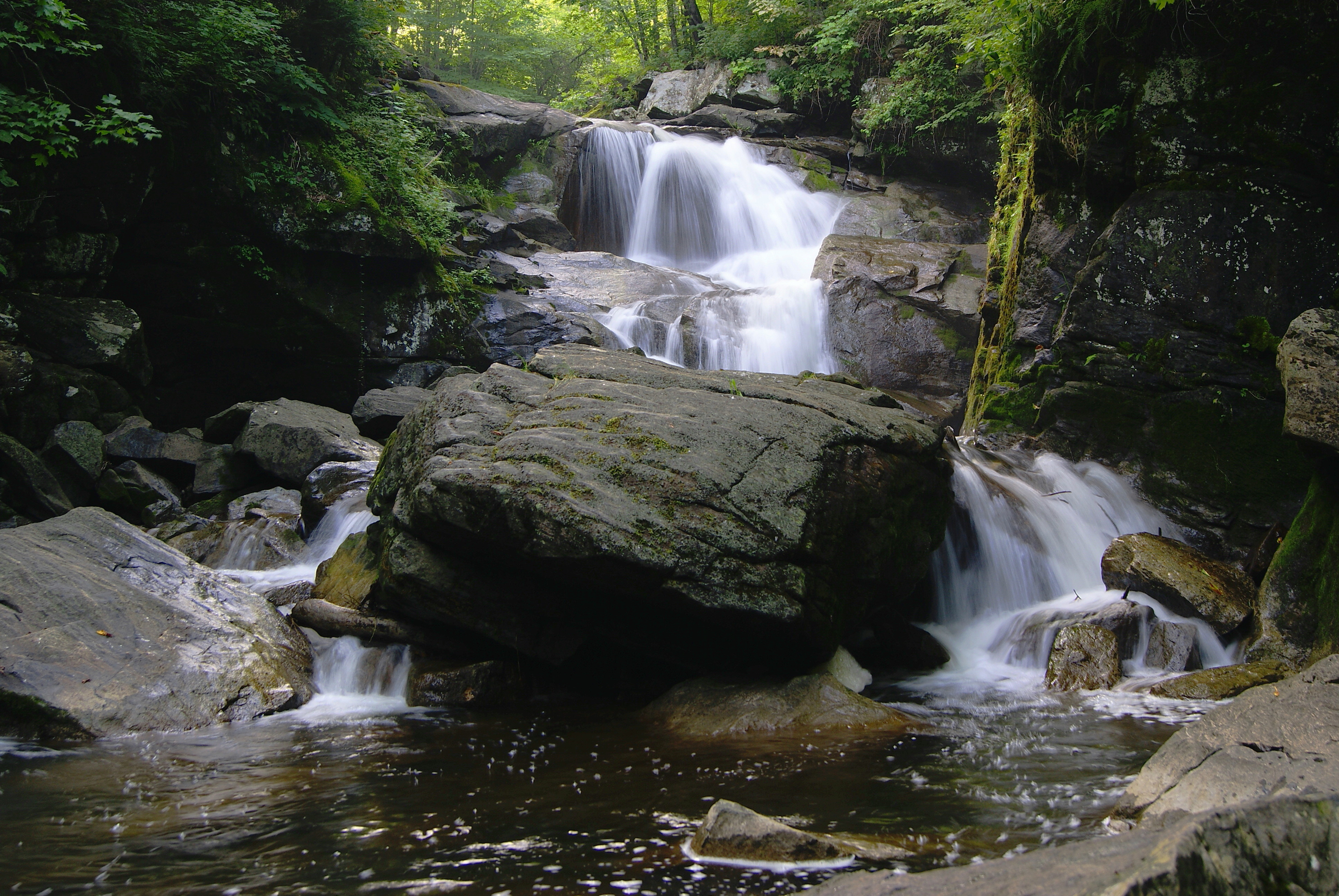
Faville Falls

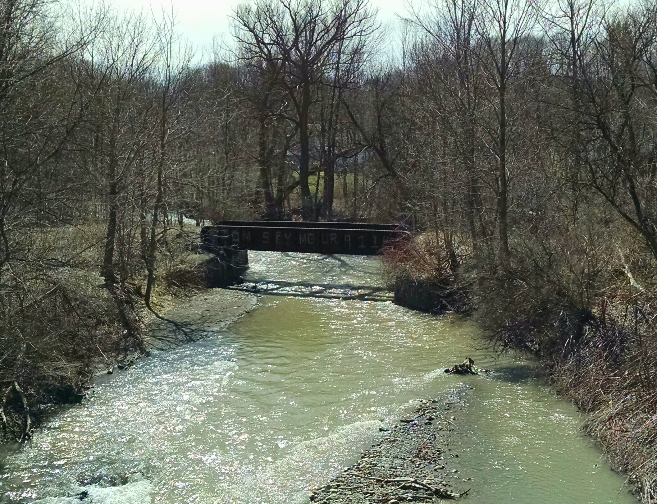
Bridge Over Spruce Creek
Lock 34 - Mindenville
A Country Landscape
After The Thaw
A Scene On The Erie
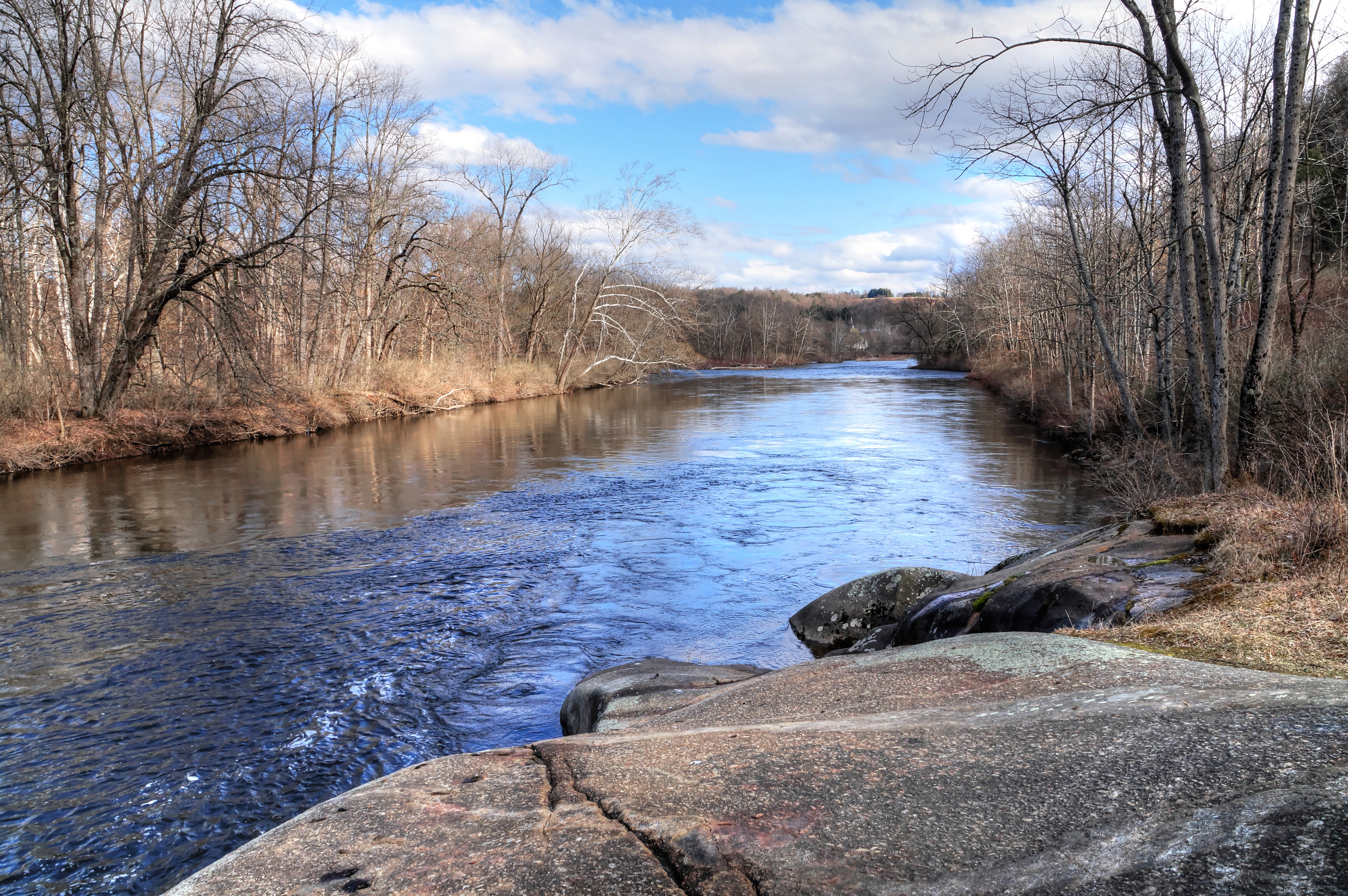
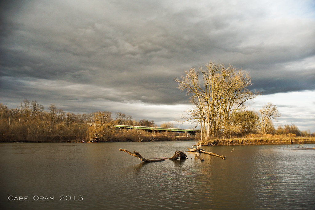
The Mohawk and The Erie Merge
I want to believe
West Shore Railroad Bridge, Ilion, NY
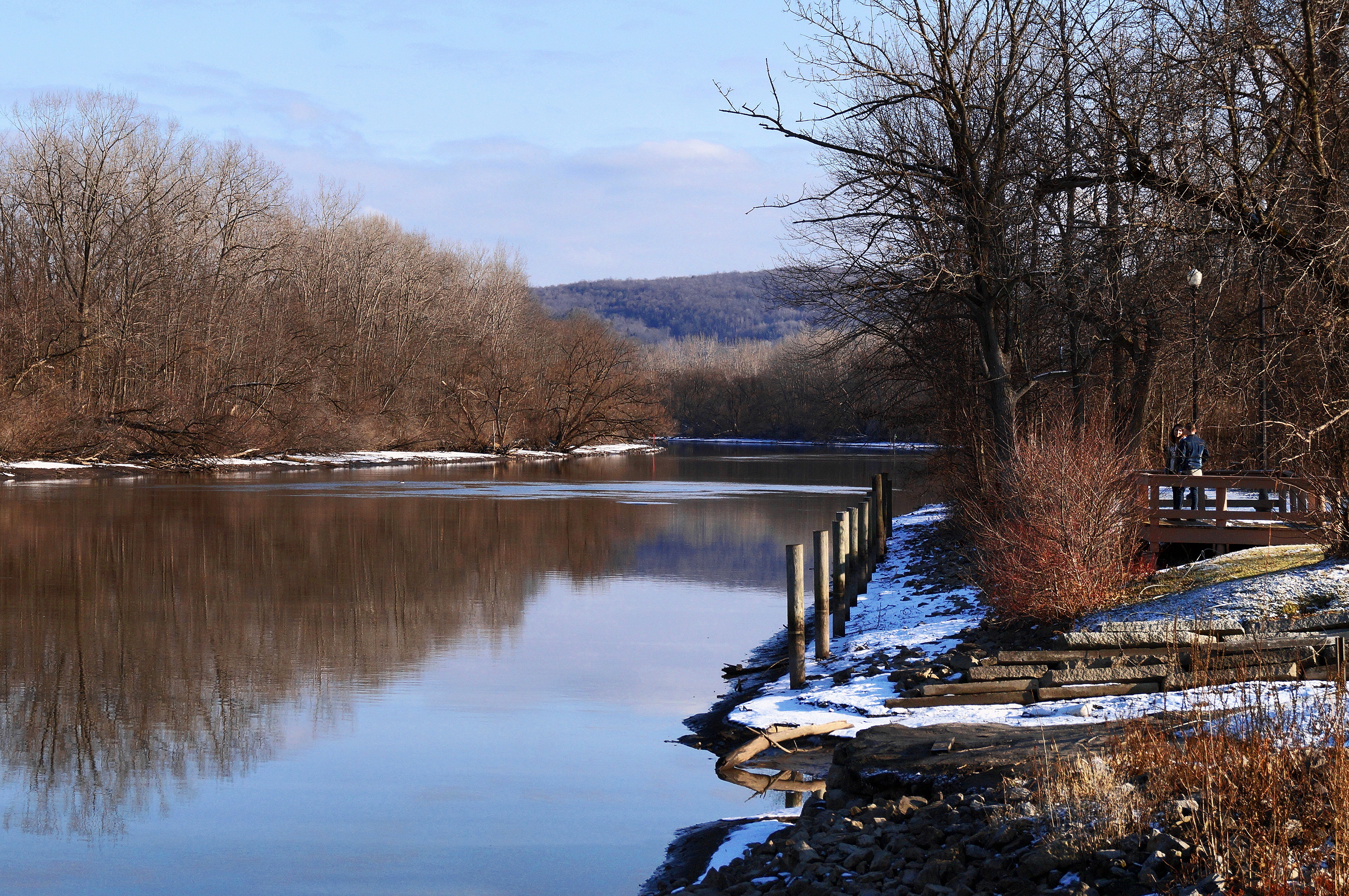
Muddy Waters
PA172128.jpg
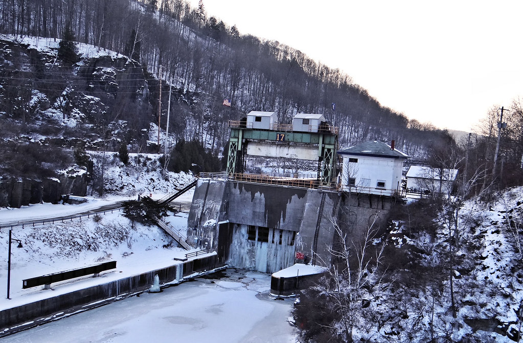
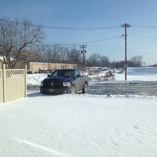
Frozen Lock 17 Little Falls NY

Hydro Power getting bypassed

October 01, 2015 at 06:56PM

Inside Lock 18
Topographic Map of E Main St, Little Falls, NY, USA
Find elevation by address:

Places near E Main St, Little Falls, NY, USA:
Little Falls
524 E Main St
M&t Bank
8 W Main St
United States Postal Service
500 E Gansevoort St
525 E Mill St
582 E Gansevoort St
South Side Alignment
East Jefferson Street
25 Flint Ave
668 E Monroe St
18 Churchill St
Little Falls Garden Apartment
415 W Monroe St
Little Falls High School
147 Sabin Rd
5037 Ny-167
Paradise Road
395 Bidleman Rd
Recent Searches:
- Elevation of Corso Fratelli Cairoli, 35, Macerata MC, Italy
- Elevation of Tallevast Rd, Sarasota, FL, USA
- Elevation of 4th St E, Sonoma, CA, USA
- Elevation of Black Hollow Rd, Pennsdale, PA, USA
- Elevation of Oakland Ave, Williamsport, PA, USA
- Elevation of Pedrógão Grande, Portugal
- Elevation of Klee Dr, Martinsburg, WV, USA
- Elevation of Via Roma, Pieranica CR, Italy
- Elevation of Tavkvetili Mountain, Georgia
- Elevation of Hartfords Bluff Cir, Mt Pleasant, SC, USA