Elevation of E Main St, Elma, WA, USA
Location: United States > Washington > Grays Harbor County > Elma >
Longitude: -123.39946
Latitude: 47.004399
Elevation: 21m / 69feet
Barometric Pressure: 101KPa
Elevation Map:
Satellite Map:
Related Photos:
20120818.STSP.JO©.063
20120818.STSP.JO©.052
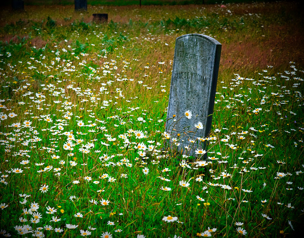
Sharon Cemetery . mr. witsman
Fallen 2008.10.24
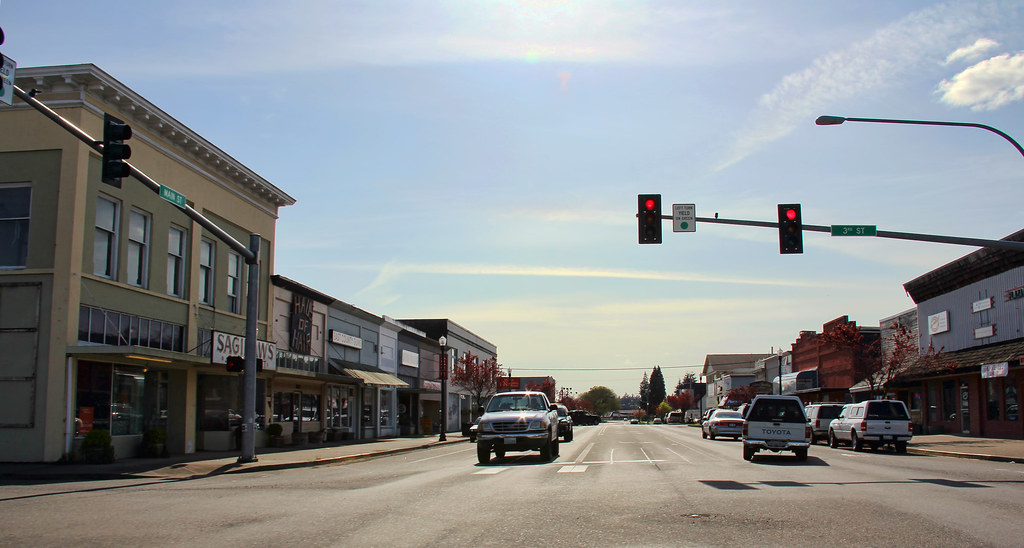
Main Street Elma

We're headin on home, and the sun sets behind us....
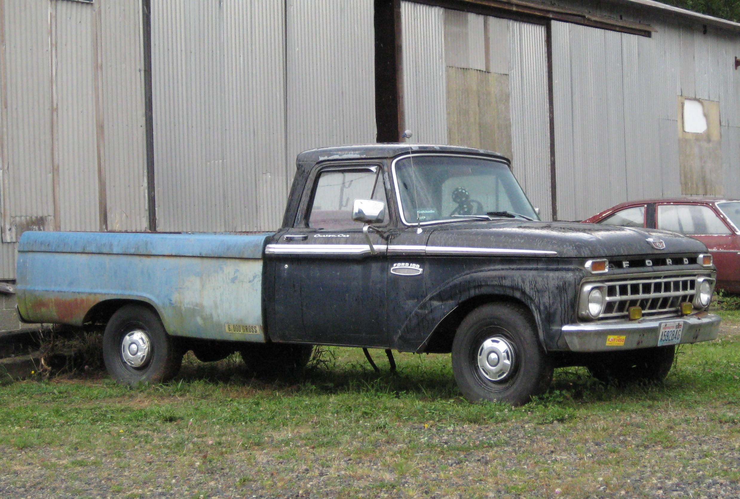
Been Here A Long Time
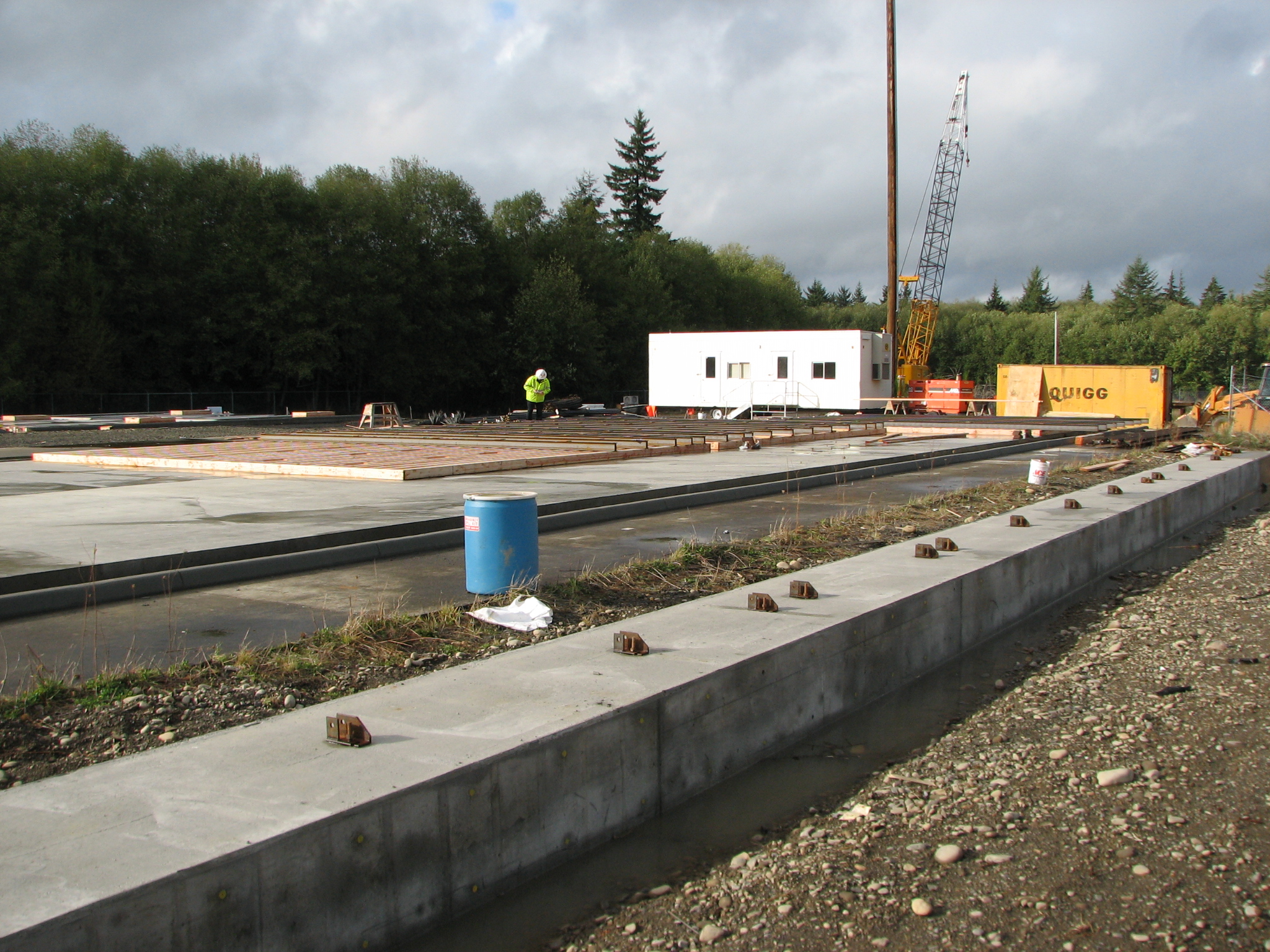
Satsop testing site
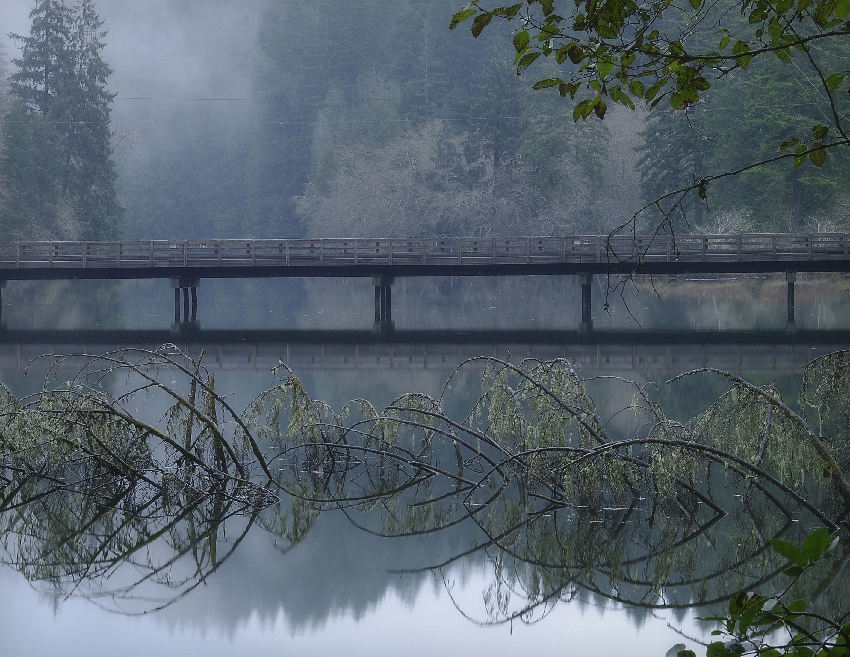
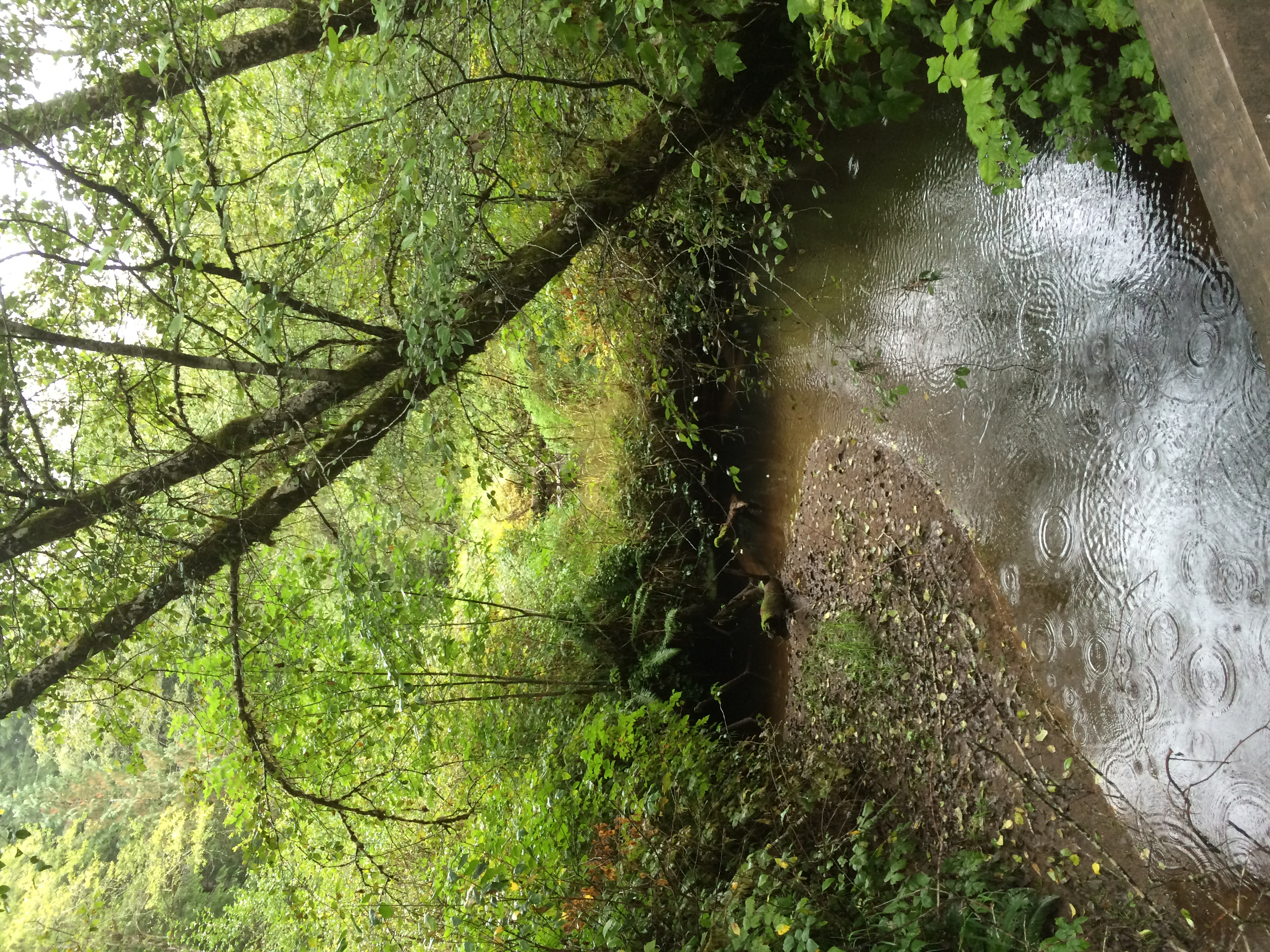
Lake Sylvia Bridge
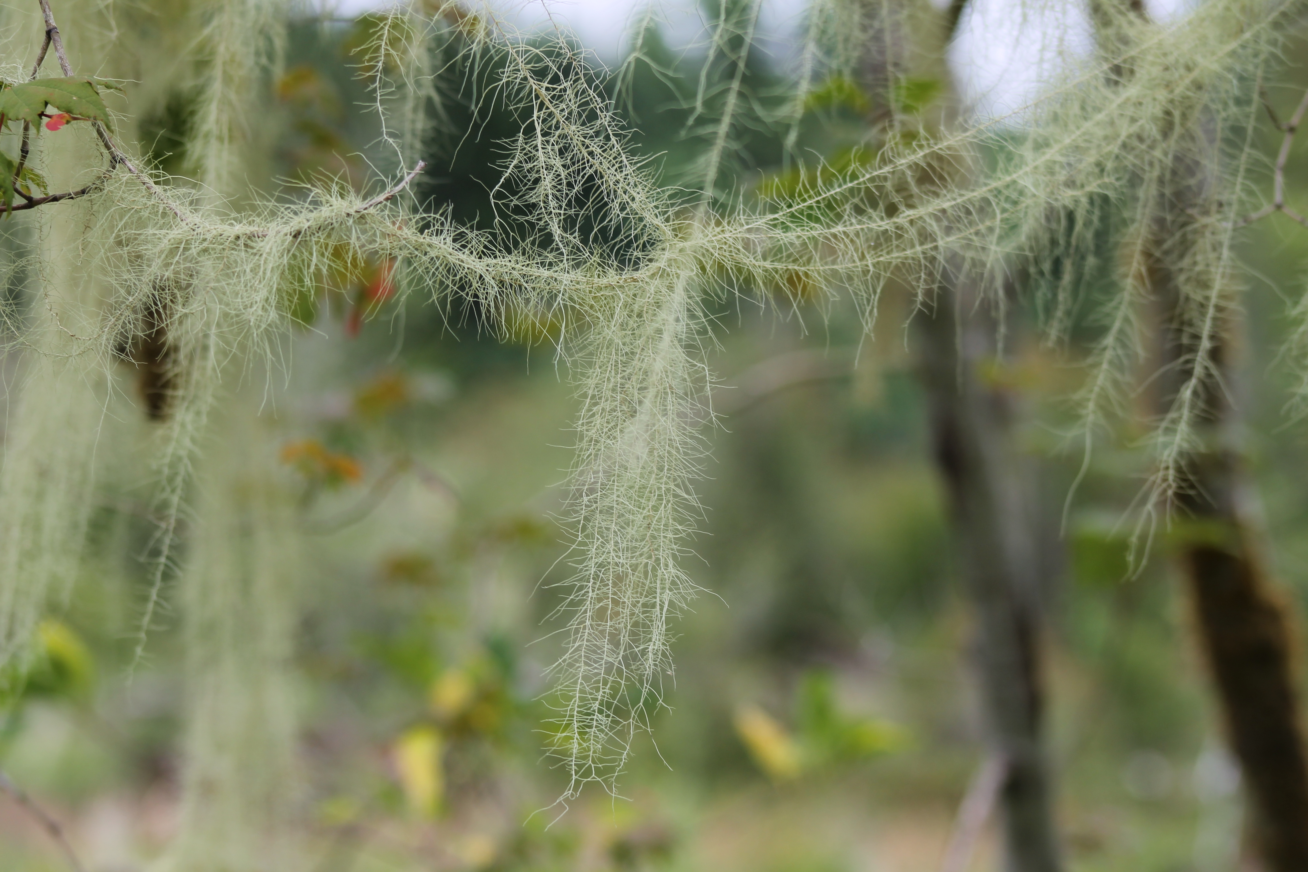
IMG_1451 Usnea longissima
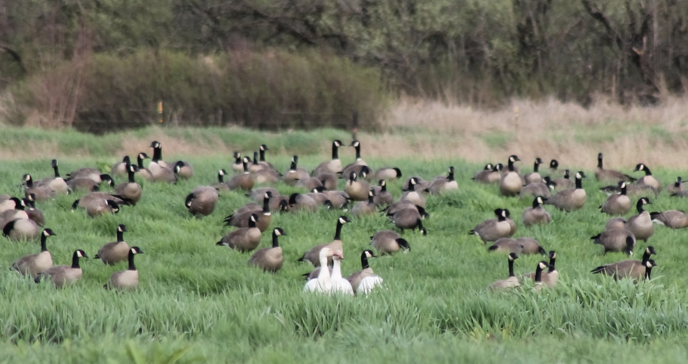
IMG_4273 Cacklers and Snow Geese
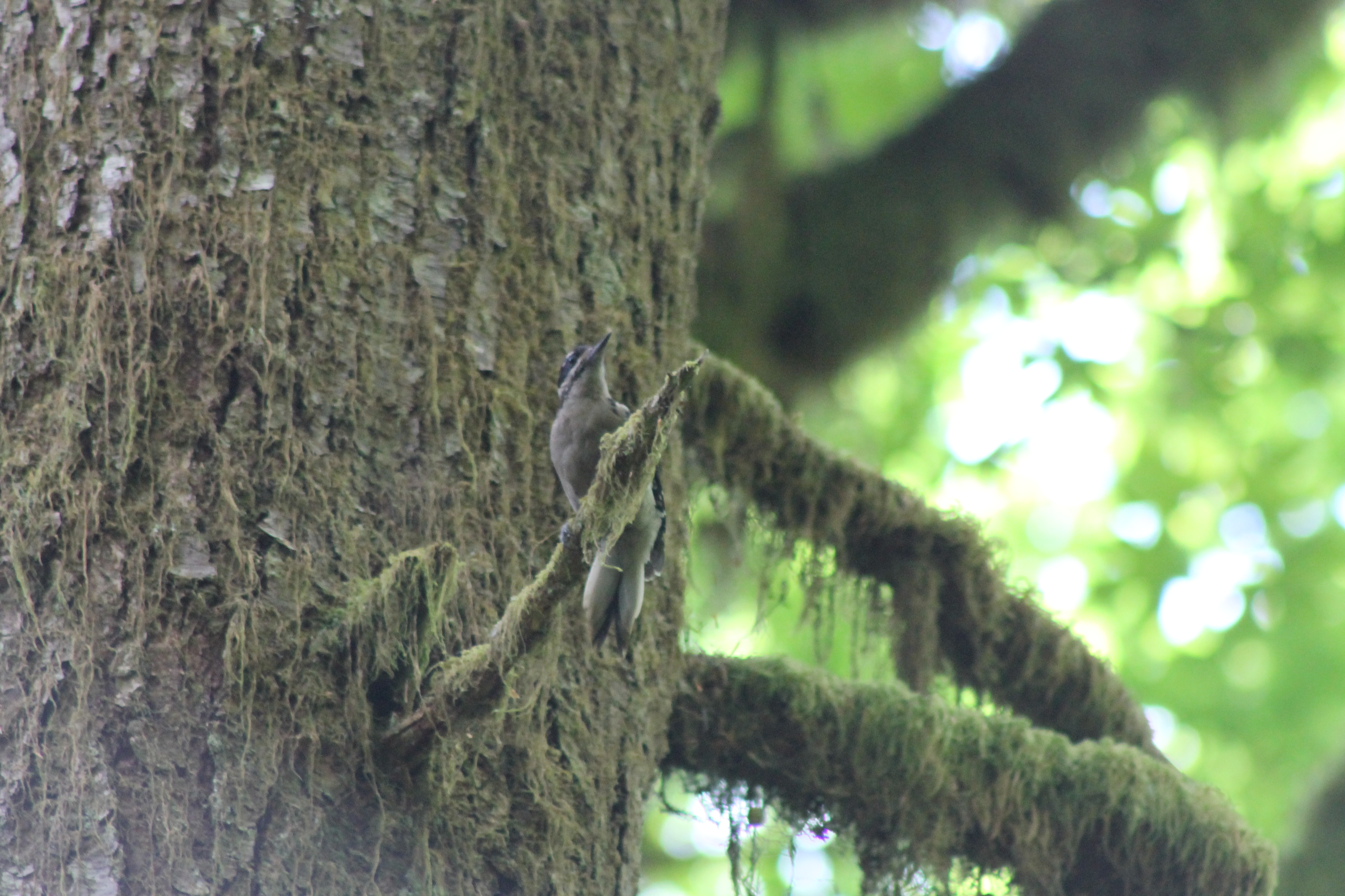
IMG_1461 Hairy Woodpecker
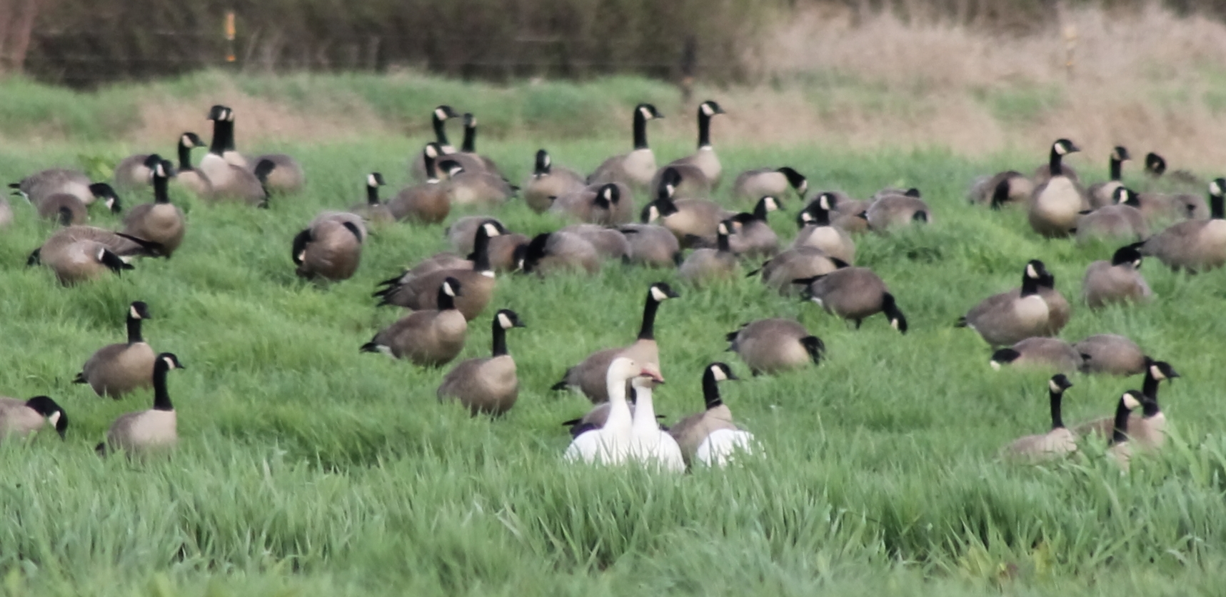
IMG_4274 Snow Geese and Cacklers
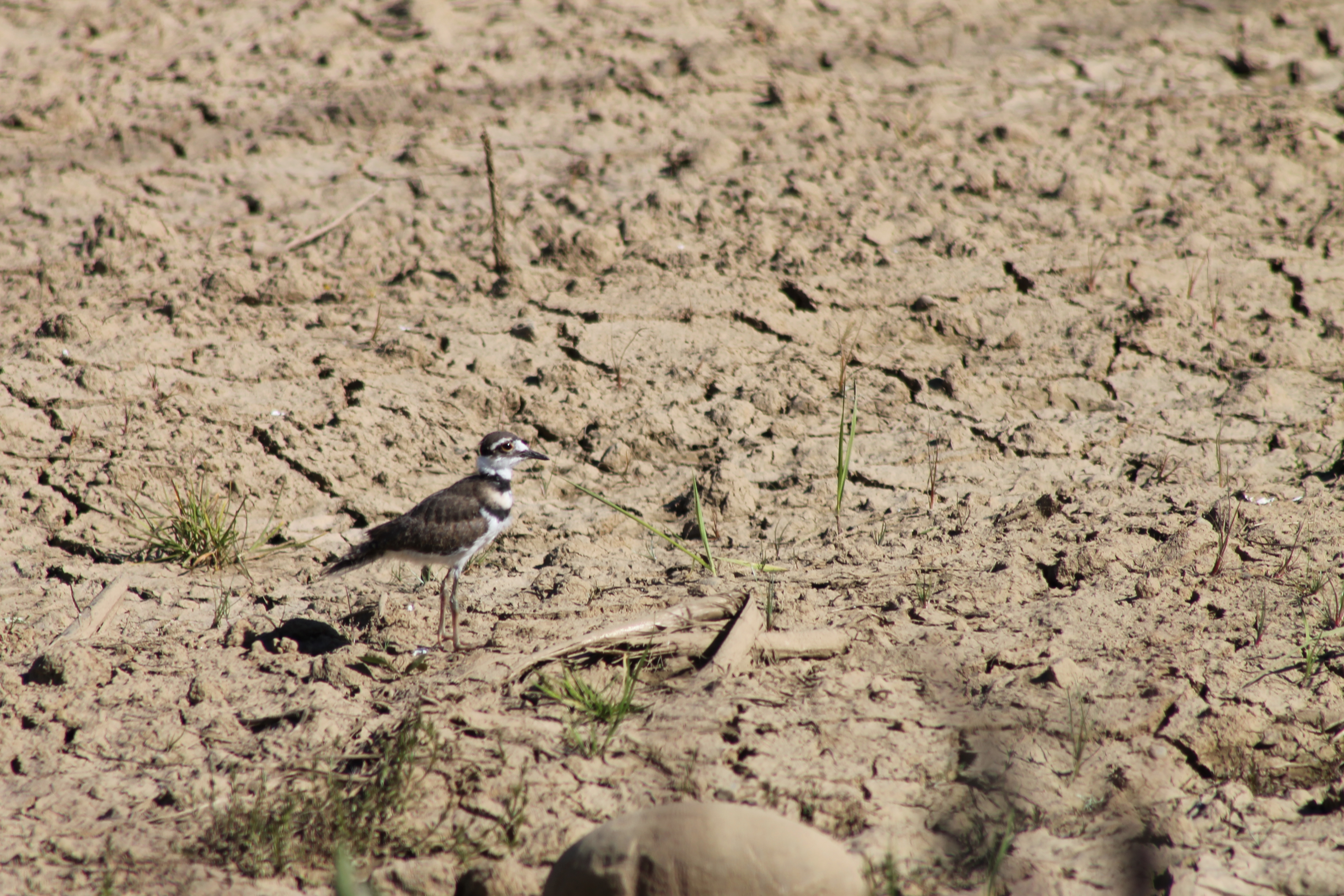
IMG_0813 Killdeer Chick
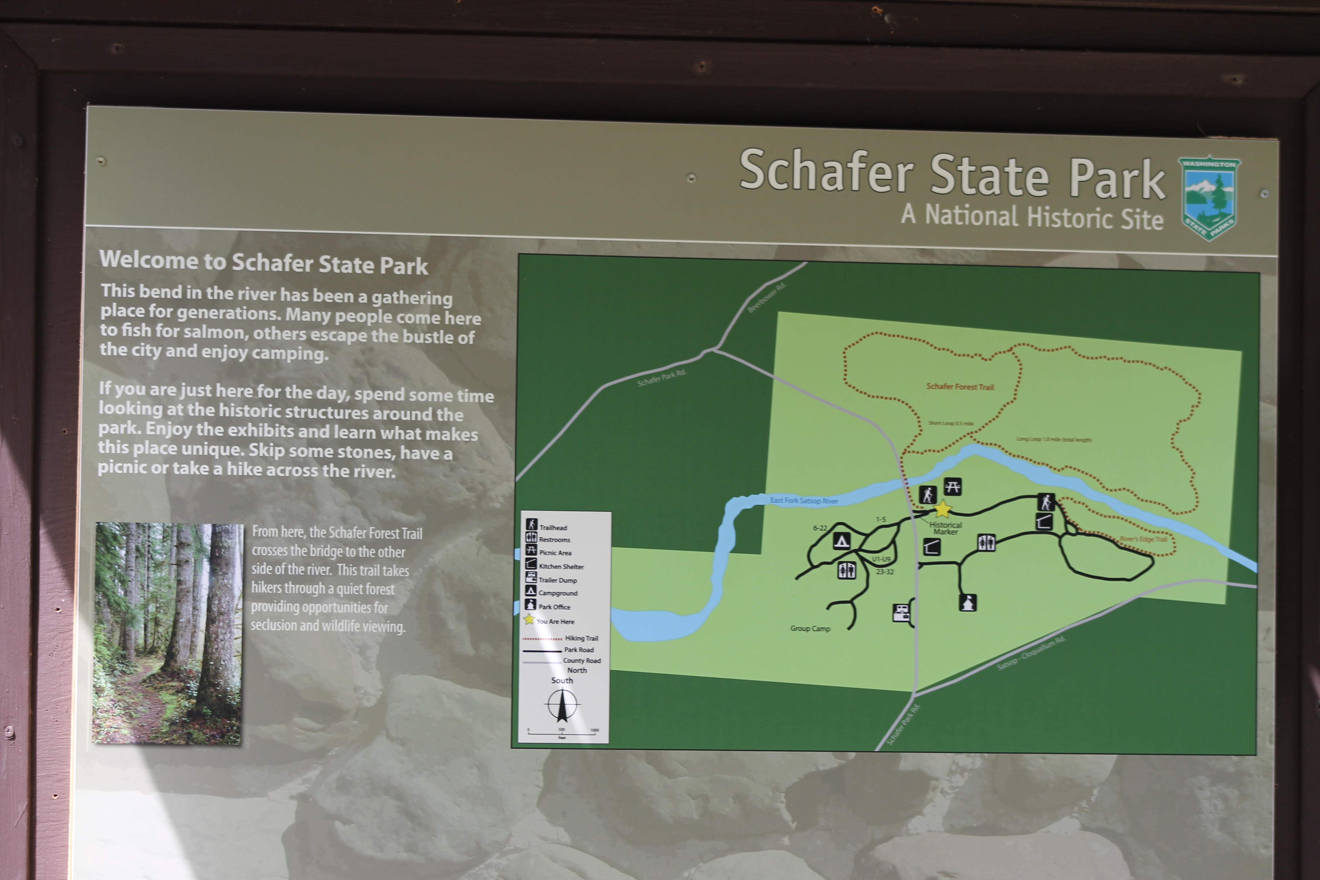
IMG_1467 Schafer Park
Reeling in the Gold
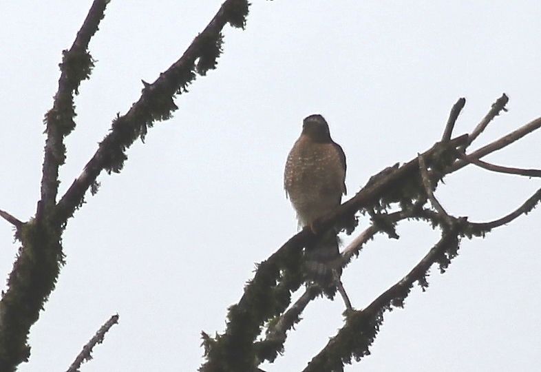
IMG_9703 Cooper's Hawk - Accipiter cooperii
Another View
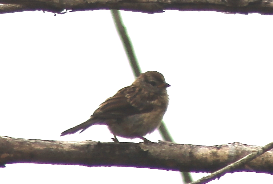
IMG_8259 Juvenile White-crowned Sparrow
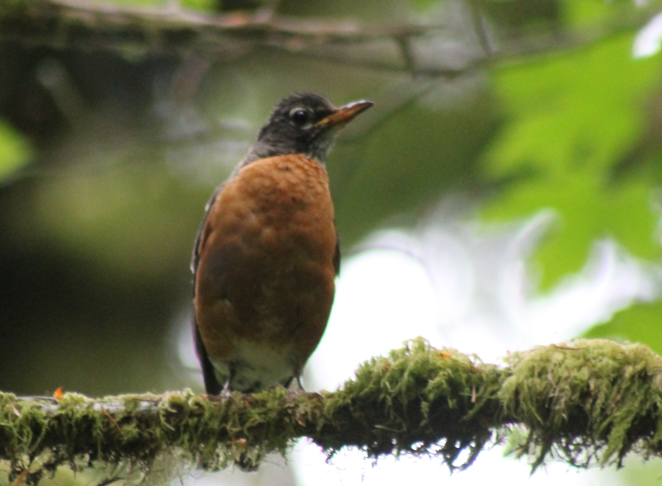
IMG_8263 American robin - Turdus migratorius
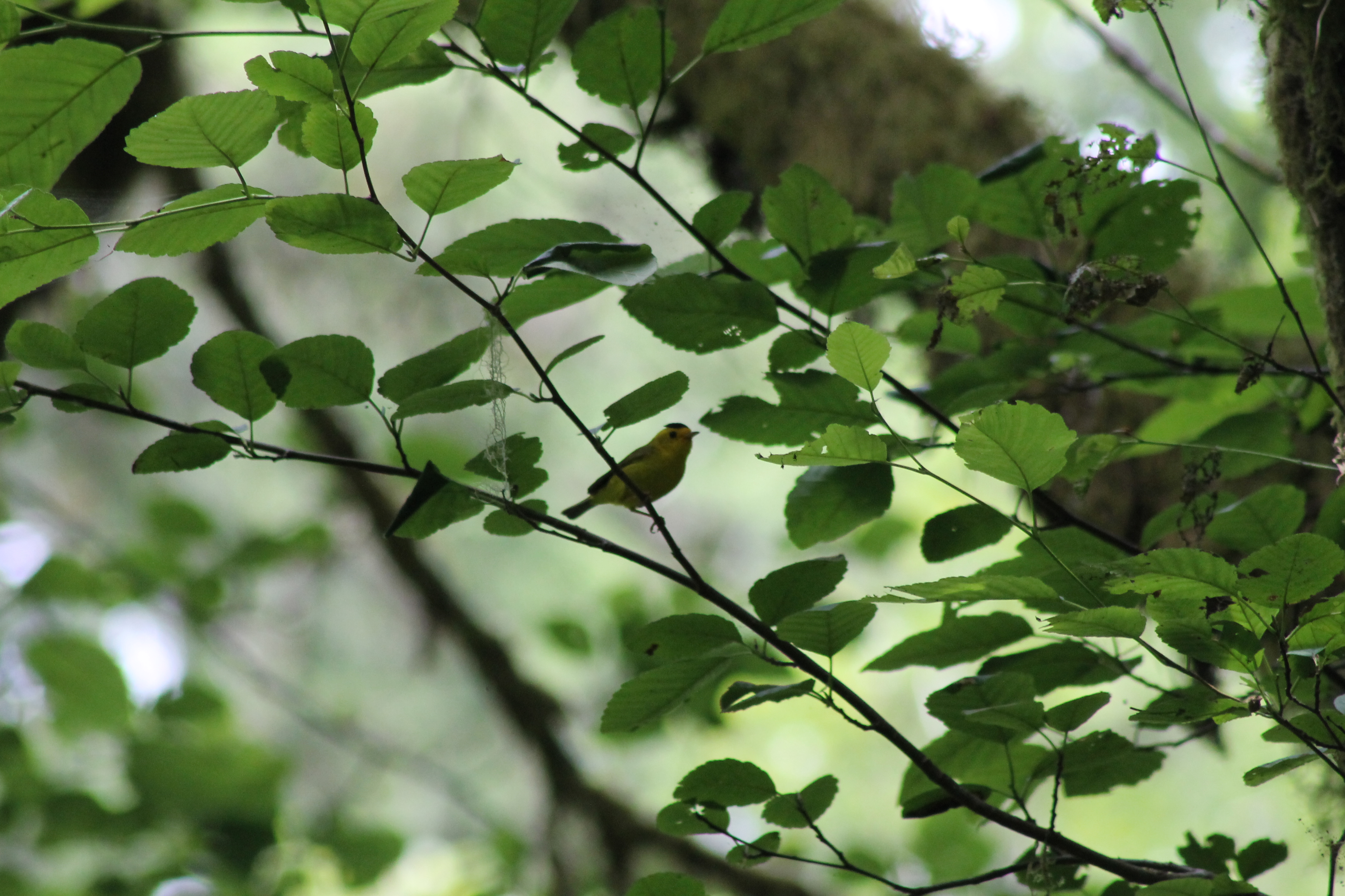
IMG_1463 Wilsons Warbler
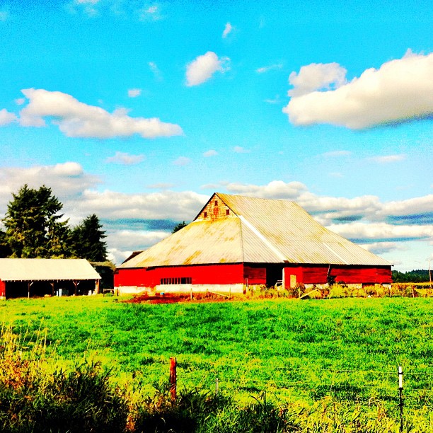
#washington #clouds #scenic #barns #old #driving #hiking
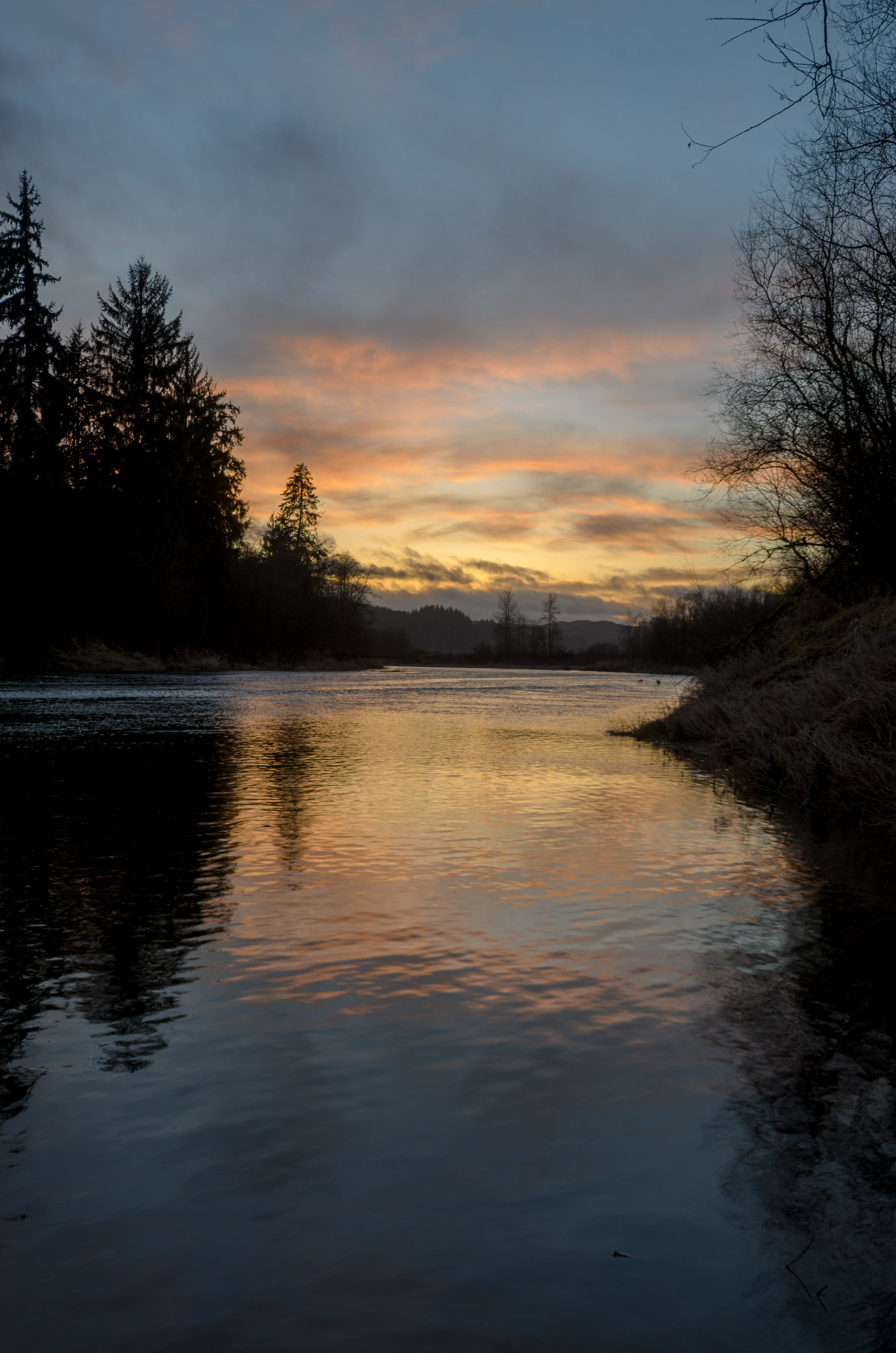
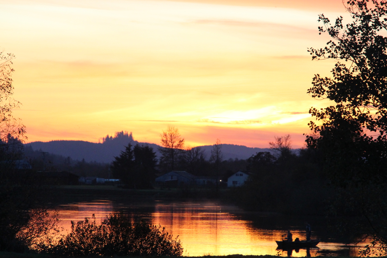
Day's End
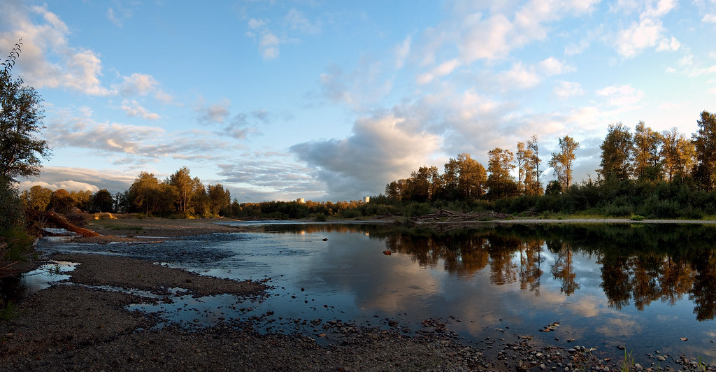
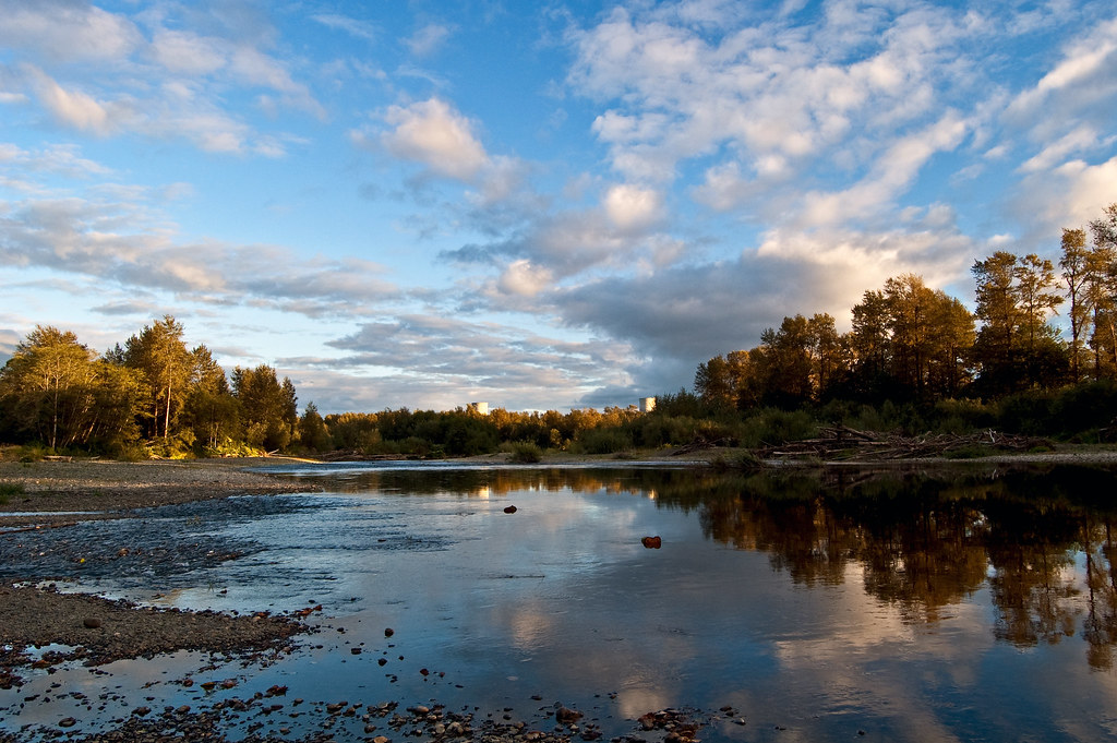
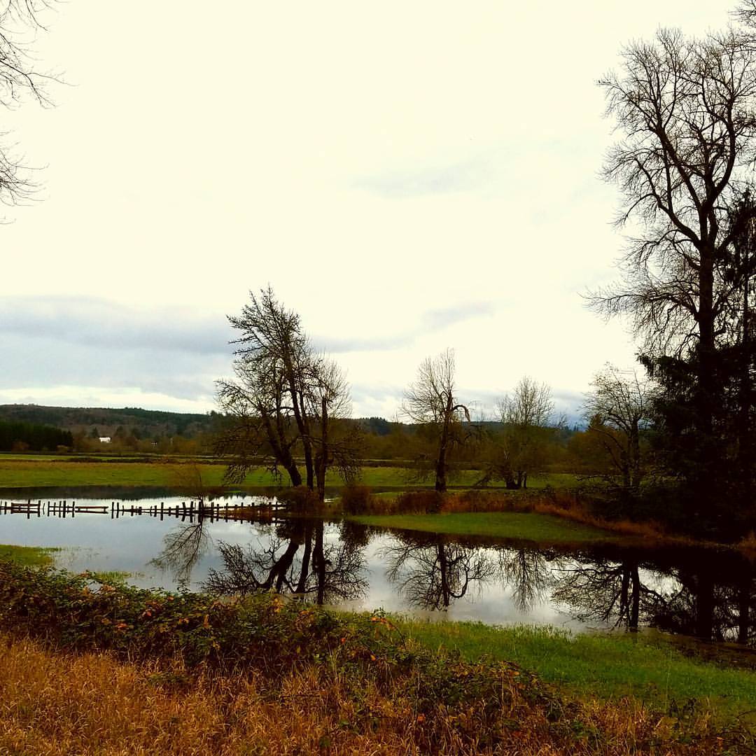
Satsop River Mirroring Action

Mount Rainier From The Air
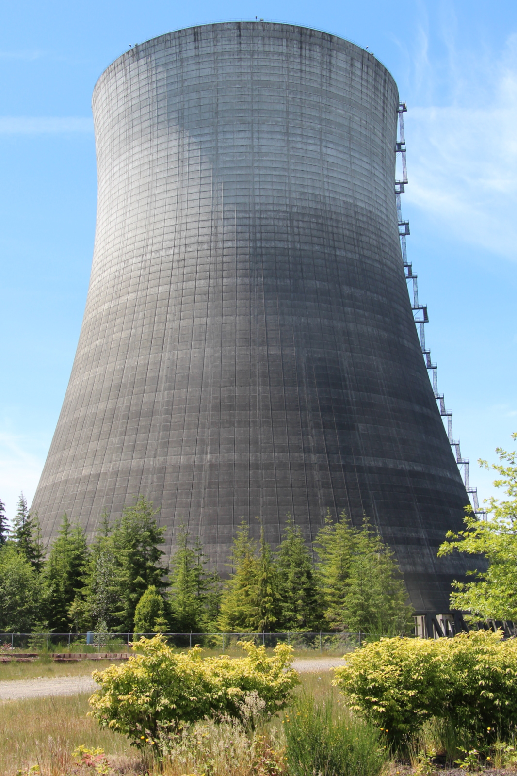
Nuclear Nature
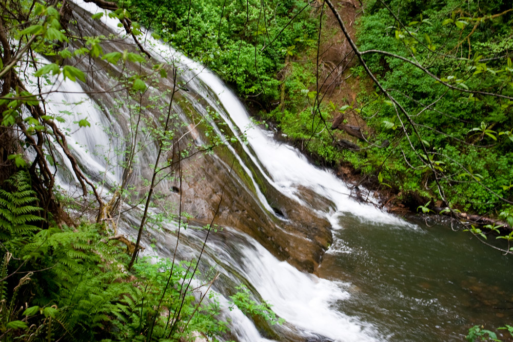
Photo that nearly cost me my life
lunch spot
The Two Towers
A nice spot for a break
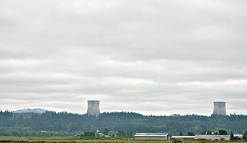
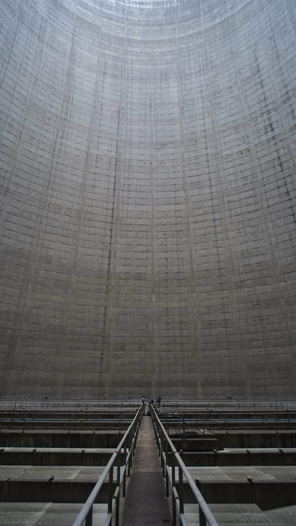
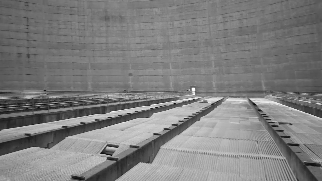
cooling towers
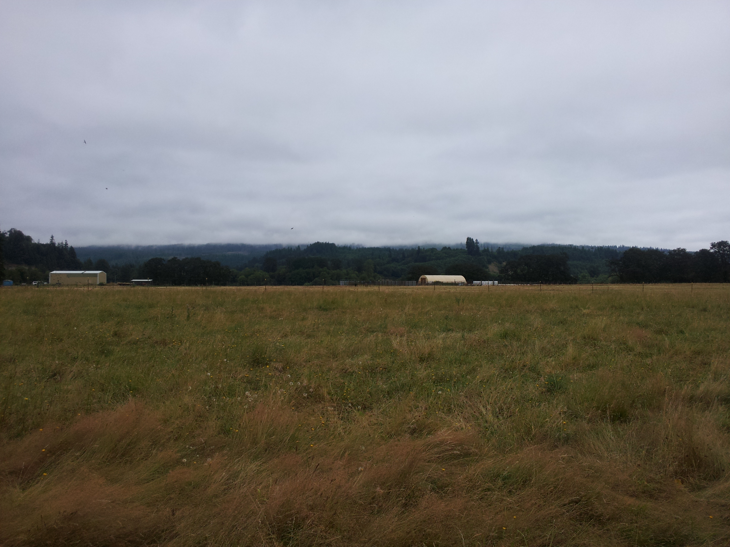
Chehalis river valley

iPhone Dump
Lake Sylvia, Montesano

SR-8

The Rape of Brady
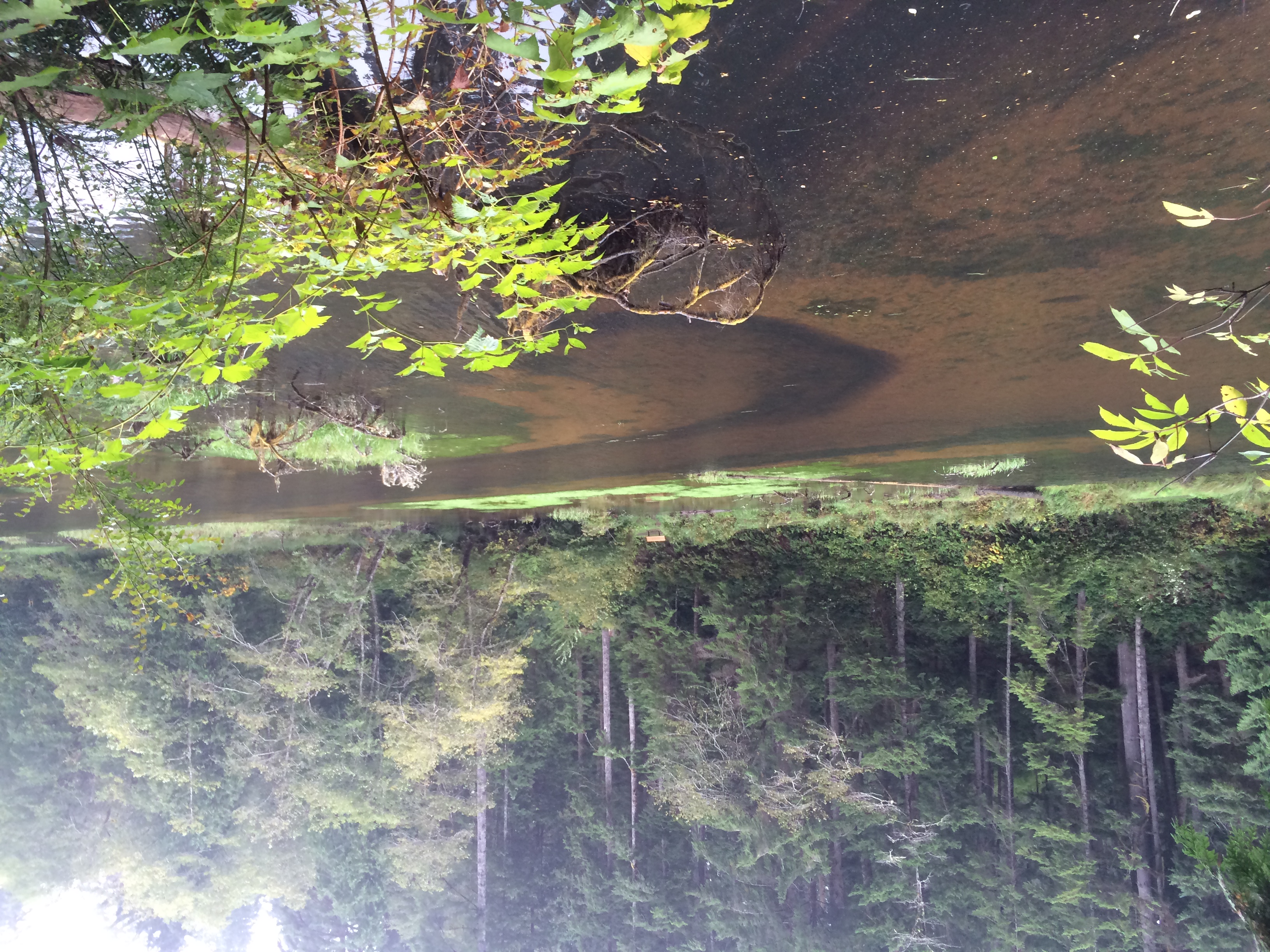
Lake Sylvia, Montesano

The Bio-Intensity of Washington State
Near days end
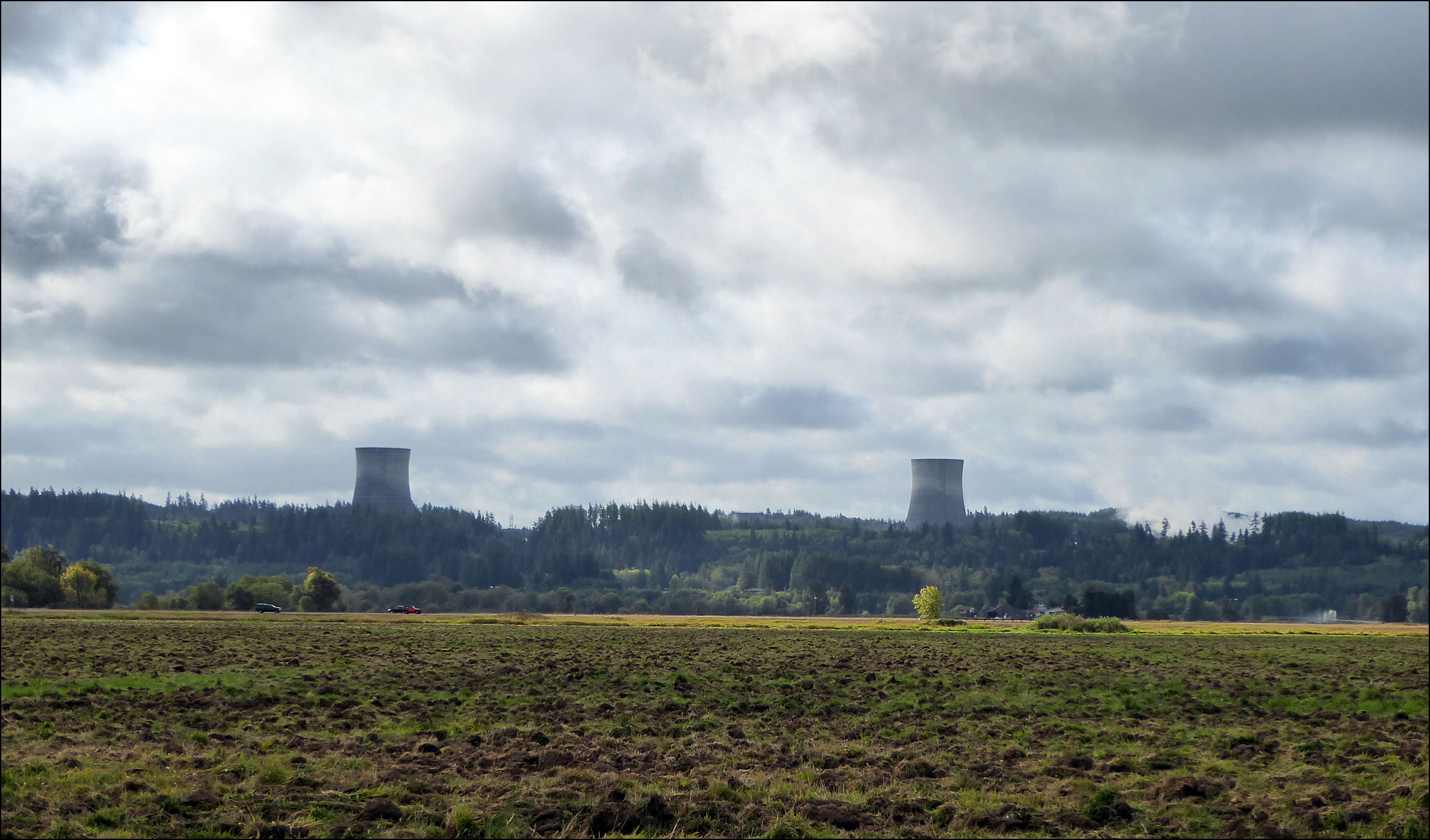
Abandoned Nuclear Plant, Satsop WA
Topographic Map of E Main St, Elma, WA, USA
Find elevation by address:

Places near E Main St, Elma, WA, USA:
South 1st Street
301 W Main St
615 W Main St
Elma
113 Heritage Dr
502 N 13th St
118 Blossom Ln
109 Cedarwood Dr
921 Garden Hill Rd W
60 Hurd Rd
1041 Monte Elma Rd
11 Fuller Rd, Elma, WA, USA
20 Keys Rd S
Brady
Monte Elma Rd, Montesano, WA, USA
Satsop Riviera Loop
21 Barcelona Lane
21 Barcelona Lane
Middle Satsop Road
4 Fairbairn Rd
Recent Searches:
- Elevation of Congressional Dr, Stevensville, MD, USA
- Elevation of Bellview Rd, McLean, VA, USA
- Elevation of Stage Island Rd, Chatham, MA, USA
- Elevation of Shibuya Scramble Crossing, 21 Udagawacho, Shibuya City, Tokyo -, Japan
- Elevation of Jadagoniai, Kaunas District Municipality, Lithuania
- Elevation of Pagonija rock, Kranto 7-oji g. 8"N, Kaunas, Lithuania
- Elevation of Co Rd 87, Jamestown, CO, USA
- Elevation of Tenjo, Cundinamarca, Colombia
- Elevation of Côte-des-Neiges, Montreal, QC H4A 3J6, Canada
- Elevation of Bobcat Dr, Helena, MT, USA