Elevation of E Hwy 12, Valley Springs, CA, USA
Location: United States > California > Calaveras County > Valley Springs >
Longitude: -120.76666
Latitude: 38.205911
Elevation: 303m / 994feet
Barometric Pressure: 98KPa
Elevation Map:
Satellite Map:
Related Photos:
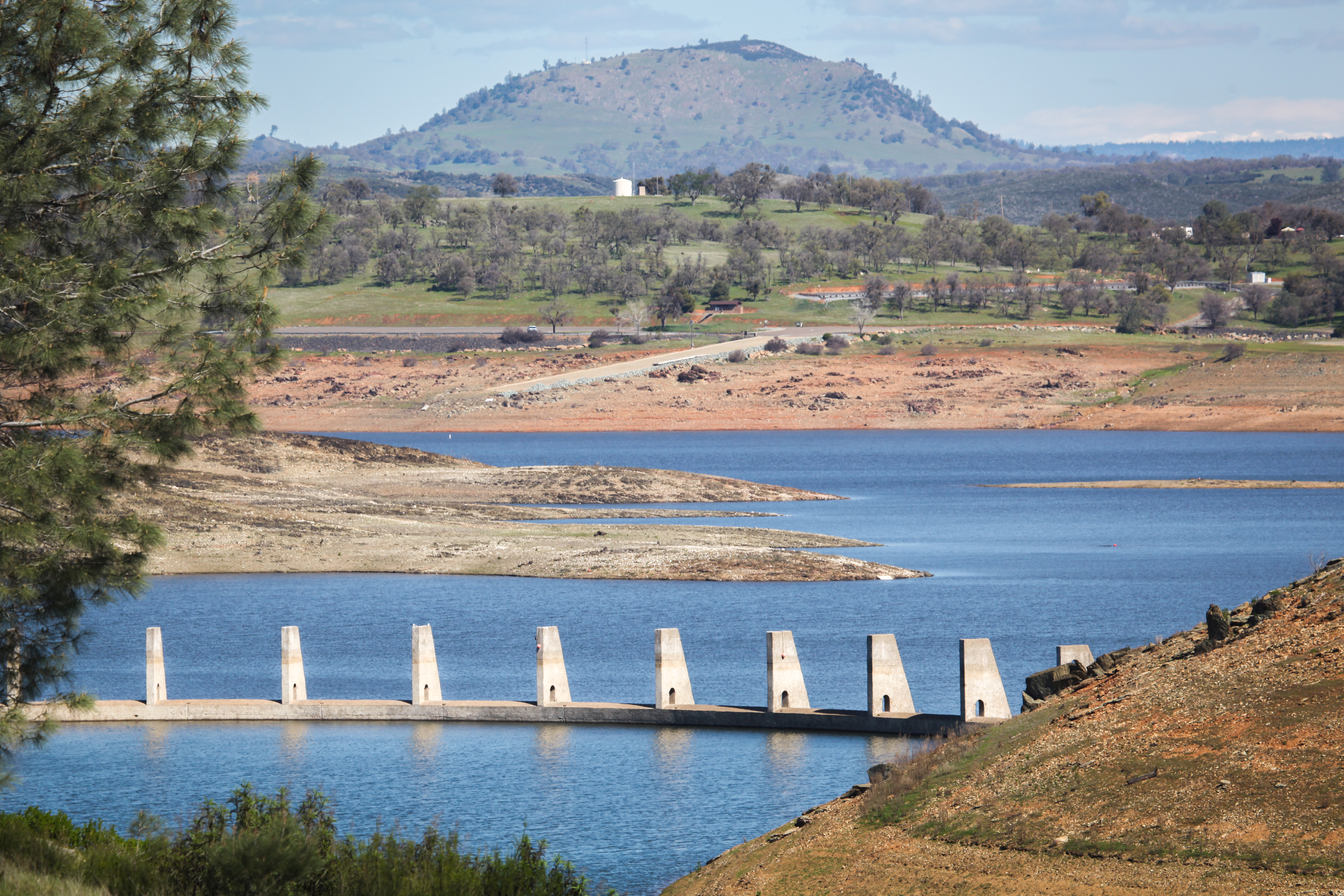
New gates for New Hogan Dam
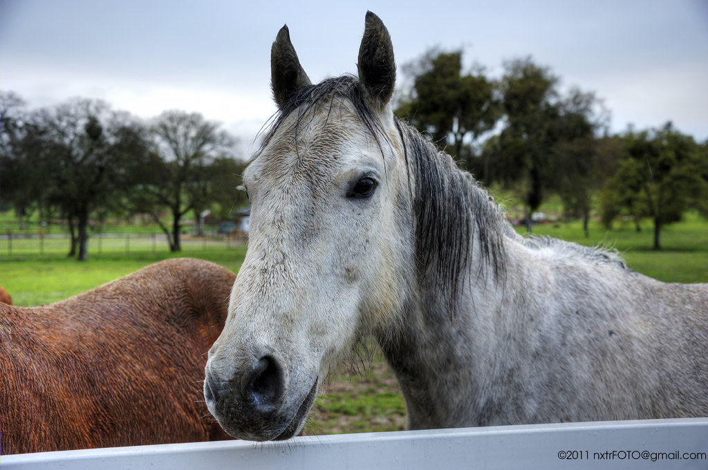
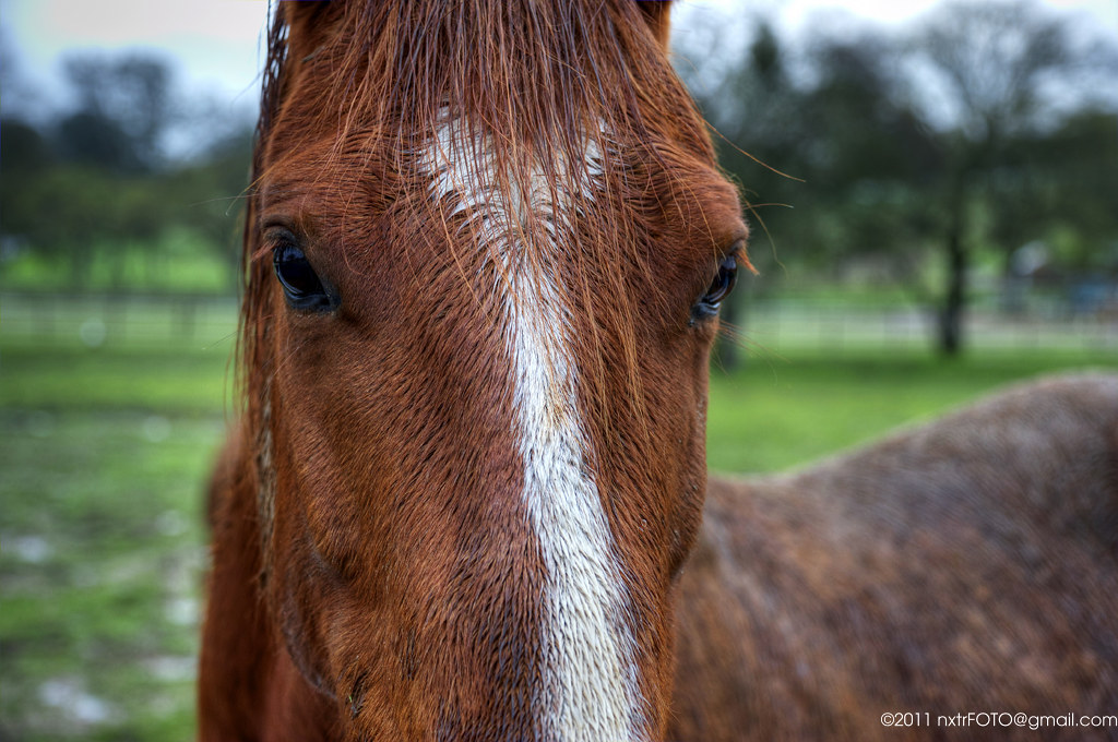
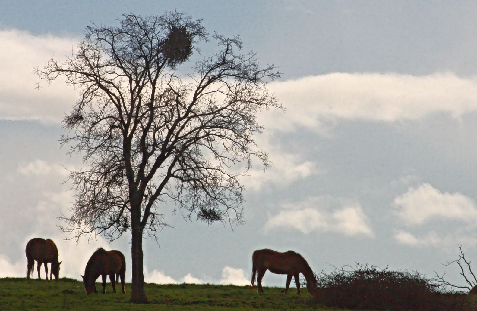
Rain-soaked horses #2

Jackson, California
DSC_0051-a21
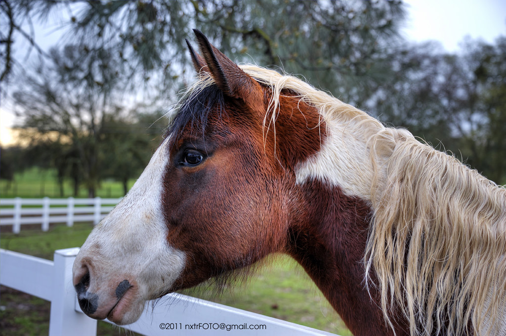
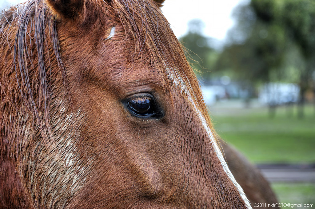
Rain-soaked horses #1
Rain-soaked horse #4
Rain-soaked horses #3
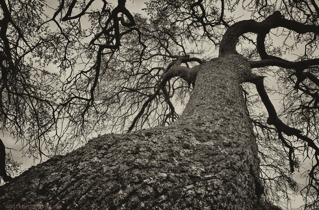
Eerie Oak Tree
DSC_0019-a5

DSC_0017-a6
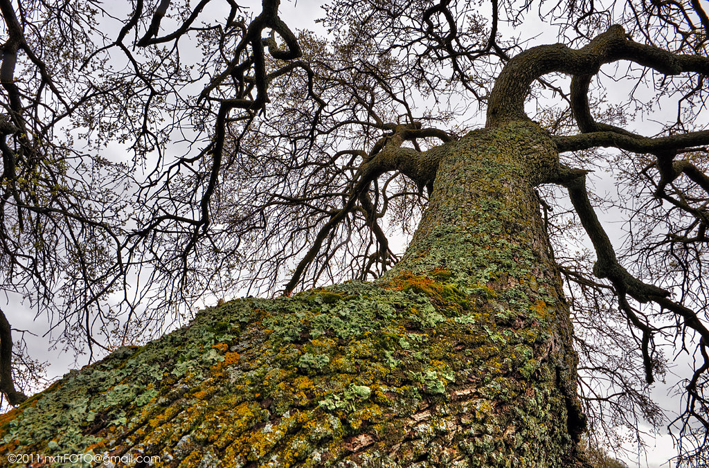
Old Oak Tree
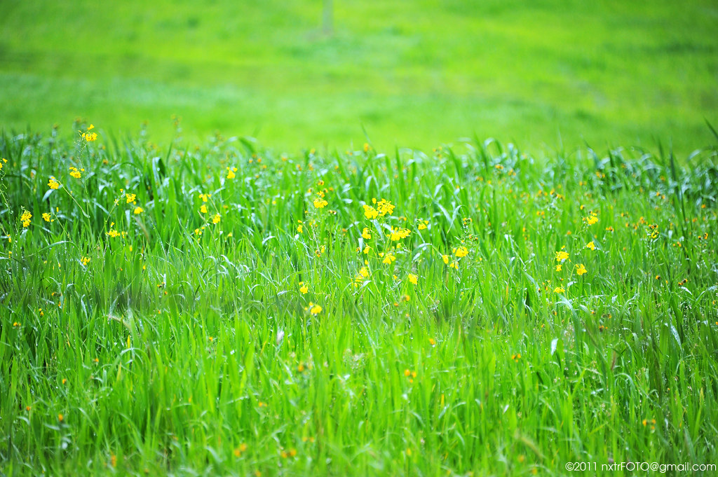
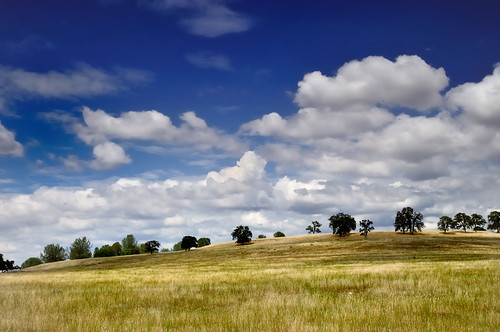
Green field - In Bloom

DSC_0037-a11
Green field - Sharp
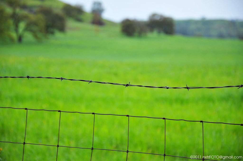
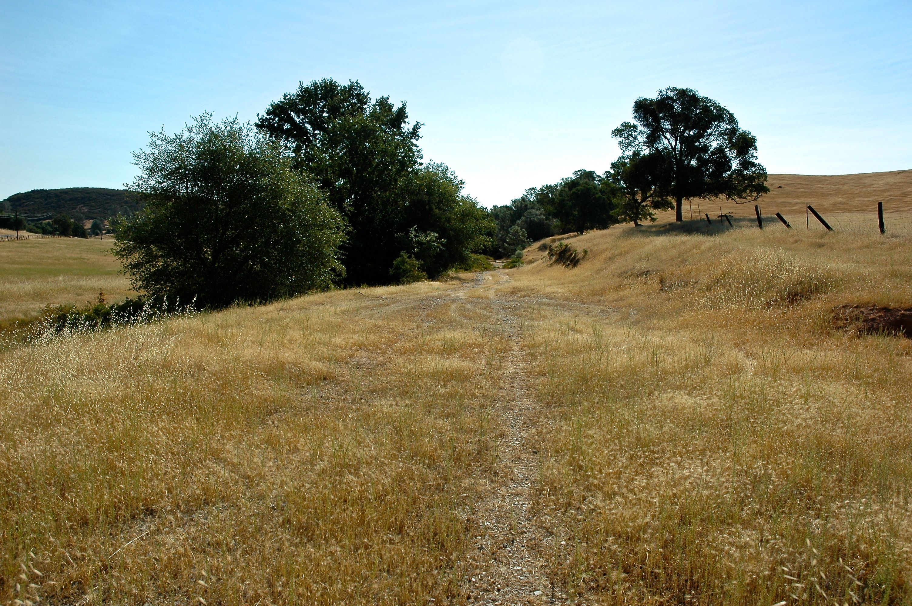
Horse Pasture
DSC_0008-a3

DSC_0025-a9
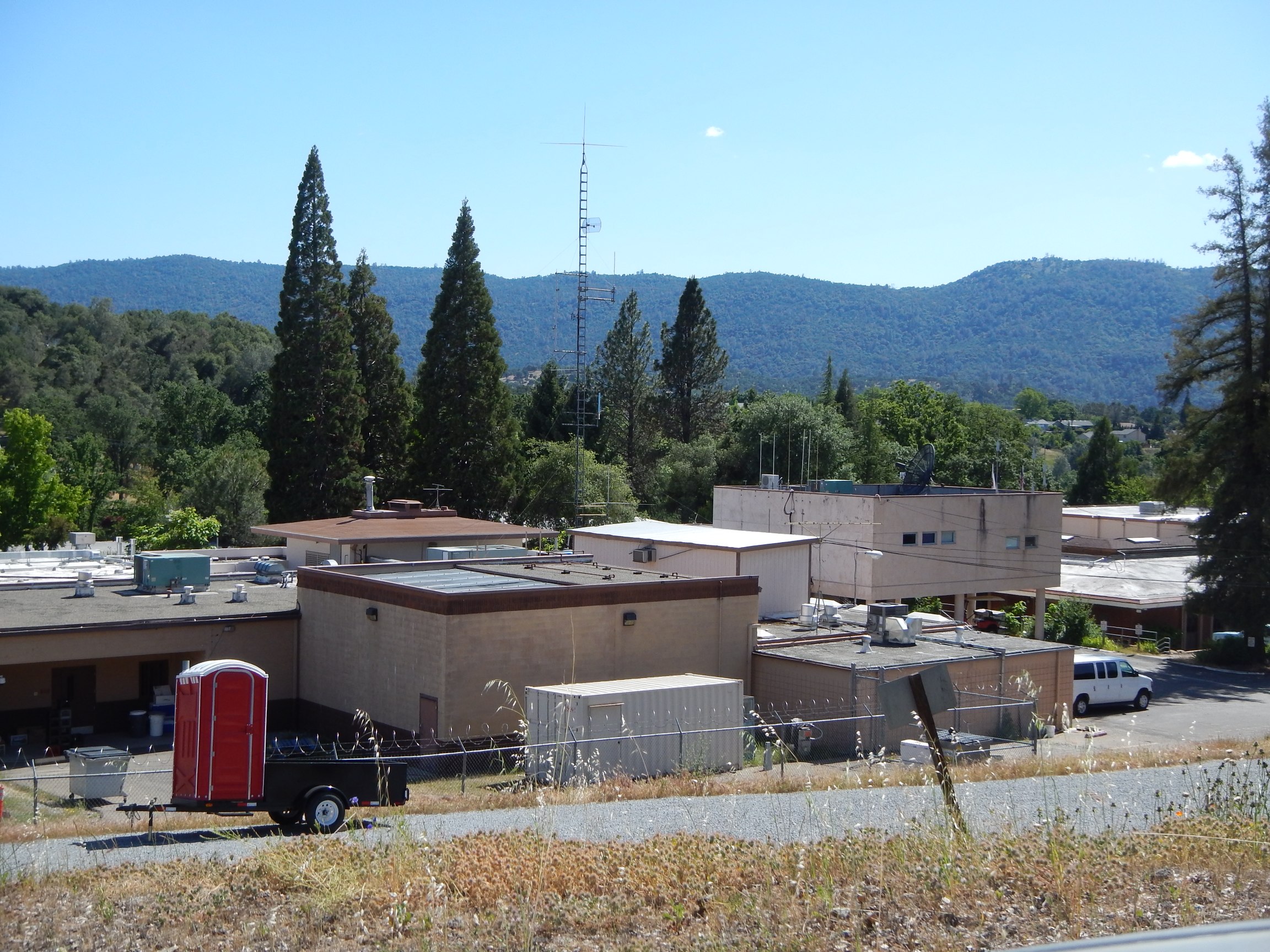
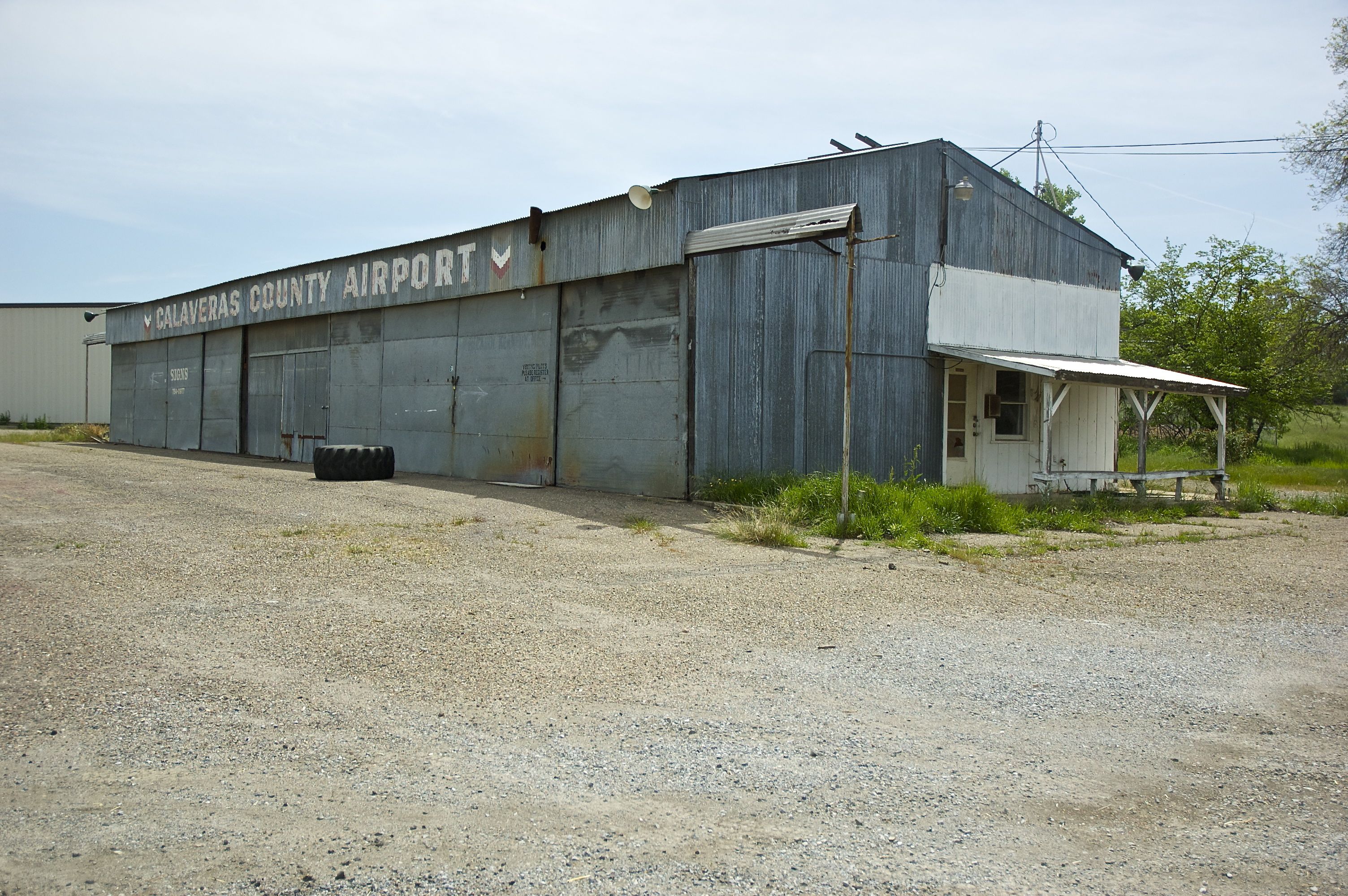
Calaveras County Government Offices

DSC_0032-a10
DSC_0040-a13
DSC_0024-a8
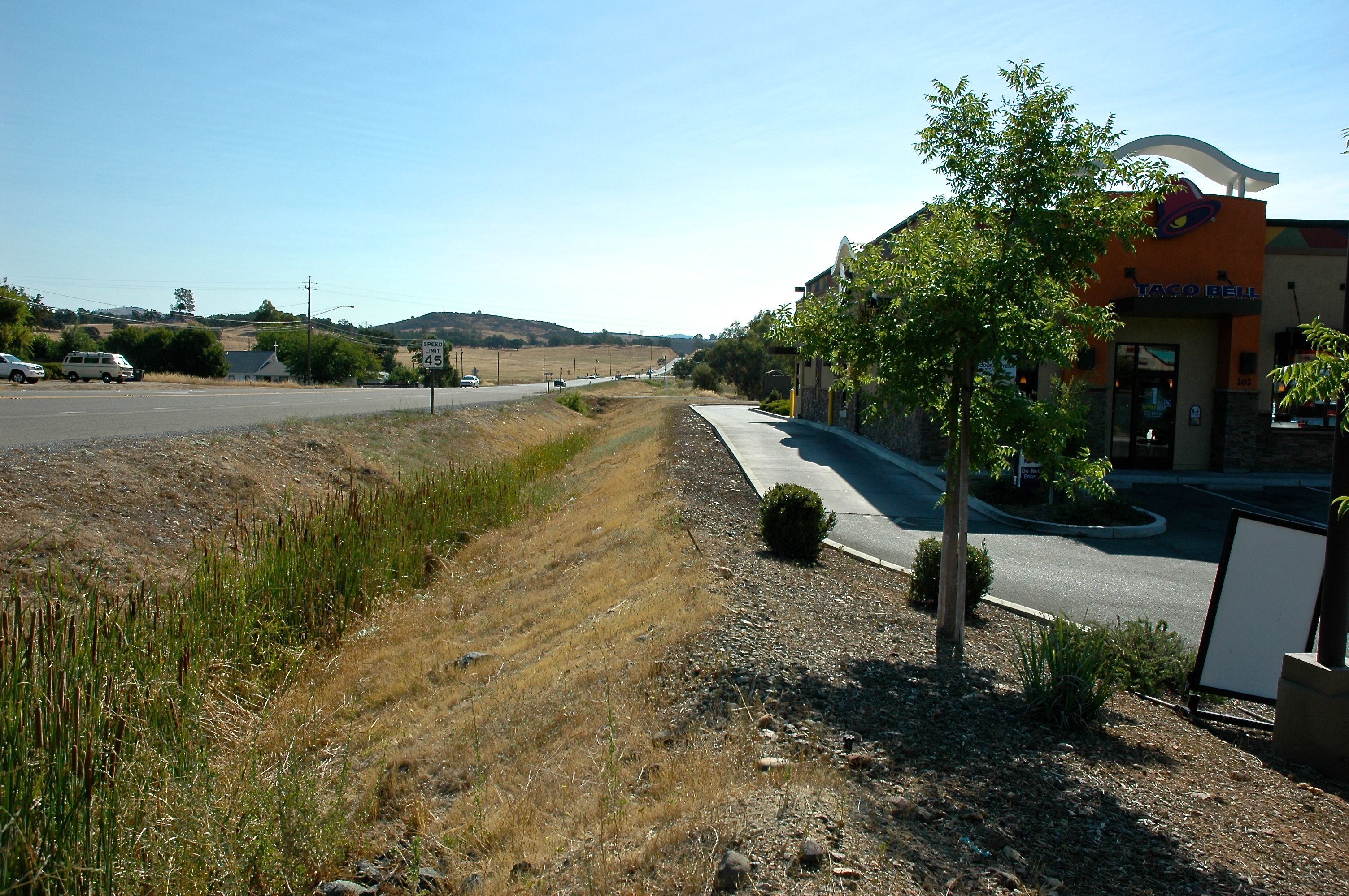
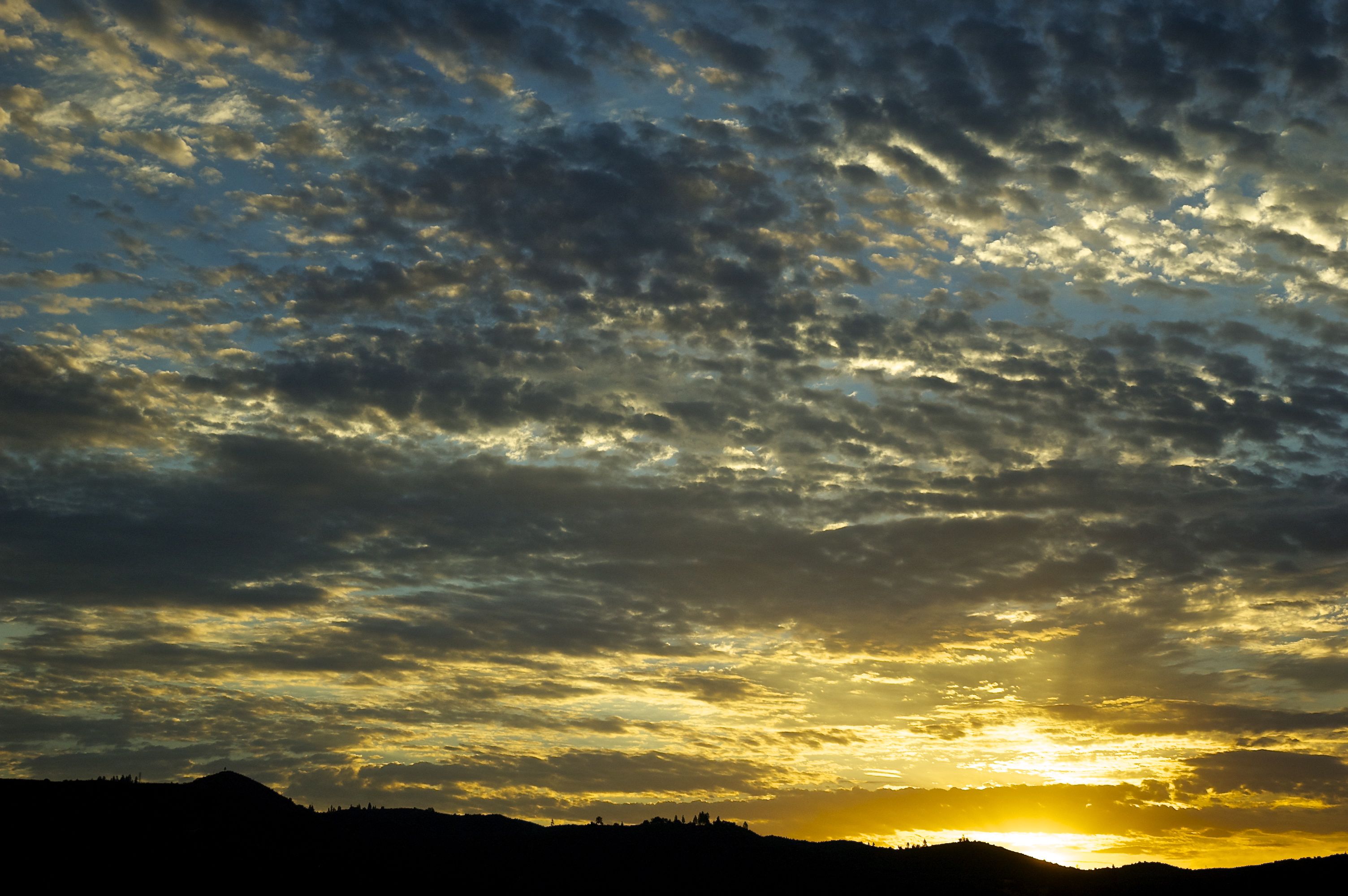
California Roadsides - I
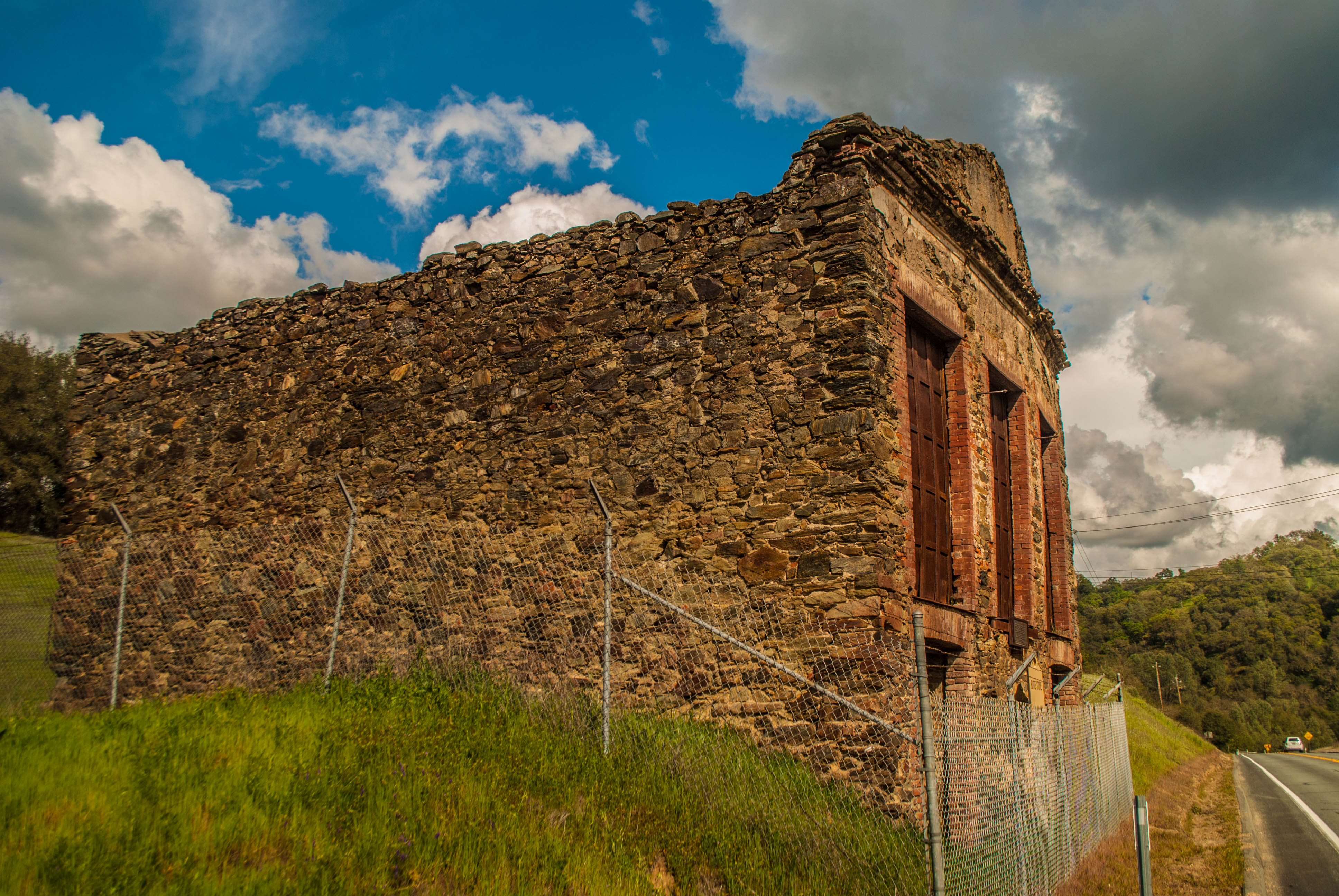
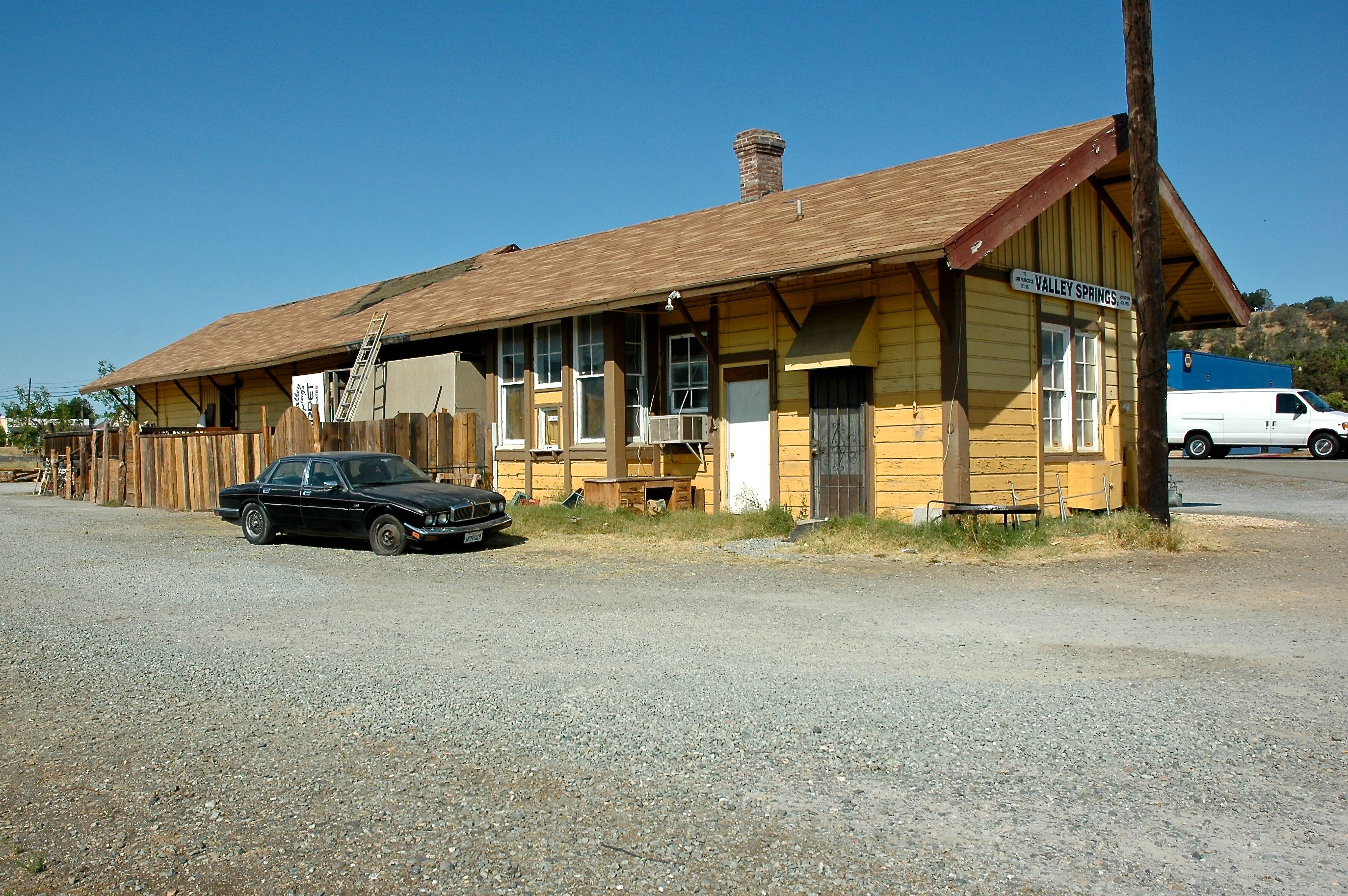
Butte Store Ruins
DSC_0132-a9

DSC_0003-a3
DSC_0032-a9
DSC_0008-a3

DSC_0004-a4
DSC_0024-a8

DSC_0053-a23
DSC_0024-a11

DSC_0023-a10

DSC_0055-a24

DSC_0018-a8

DSC_0015-a5
DSC_0030-a12

DSC_0124-a4
DSC_0025-a9
DSC_0045-a15

DSC_0009-a8

DSC_0036-a18

DSC_0007-a6
Topographic Map of E Hwy 12, Valley Springs, CA, USA
Find elevation by address:

Places near E Hwy 12, Valley Springs, CA, USA:
Paloma Rd, Valley Springs, CA, USA
1653 Ca-12 3 Mile
1653 Ca-12 3 Mile
3186 Golden Gate Dr
4108 Ca-49
1264 Gill Ranch Rd
Valley Springs
Valley Springs
Valley Springs
Valley Springs
Valley Springs
Valley Springs
Valley Springs
Valley Springs
Valley Springs
Valley Springs
Valley Springs
Valley Springs
Valley Springs
Valley Springs
Recent Searches:
- Elevation of Unnamed Road, Respublika Severnaya Osetiya — Alaniya, Russia
- Elevation of Verkhny Fiagdon, North Ossetia–Alania Republic, Russia
- Elevation of F. Viola Hiway, San Rafael, Bulacan, Philippines
- Elevation of Herbage Dr, Gulfport, MS, USA
- Elevation of Lilac Cir, Haldimand, ON N3W 2G9, Canada
- Elevation of Harrod Branch Road, Harrod Branch Rd, Kentucky, USA
- Elevation of Wyndham Grand Barbados Sam Lords Castle All Inclusive Resort, End of Belair Road, Long Bay, Bridgetown Barbados
- Elevation of Iga Trl, Maggie Valley, NC, USA
- Elevation of N Co Rd 31D, Loveland, CO, USA
- Elevation of Lindever Ln, Palmetto, FL, USA