Elevation of E Dorton Blvd, Staffordsville, KY, USA
Location: United States > Kentucky > Johnson County > Staffordsville >
Longitude: -82.844983
Latitude: 37.8272189
Elevation: 190m / 623feet
Barometric Pressure: 99KPa
Elevation Map:
Satellite Map:
Related Photos:
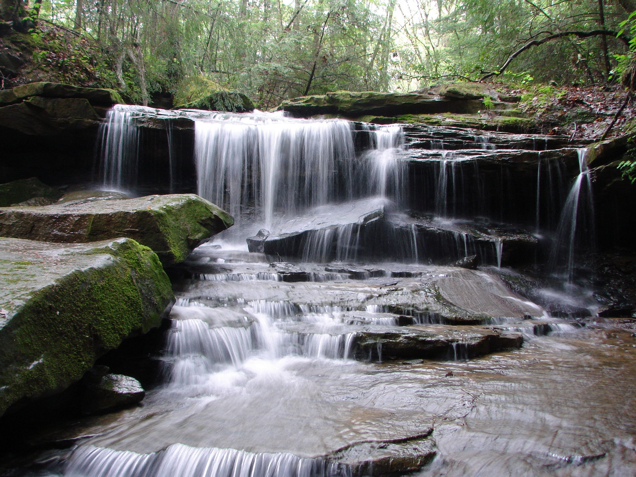
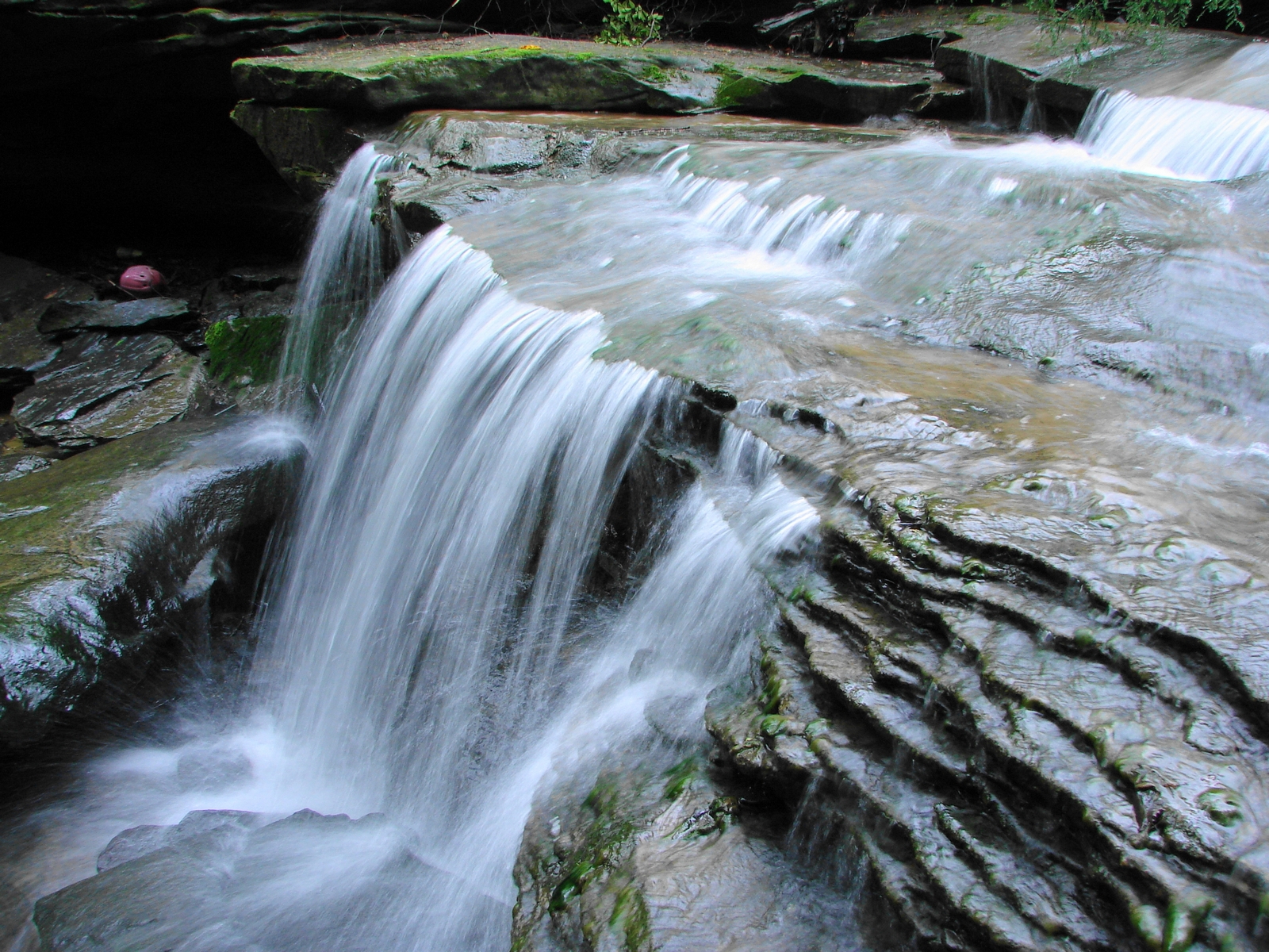
LML Upper Falls 027

Swainson's Warbler (Limnothlypis swainsonii)
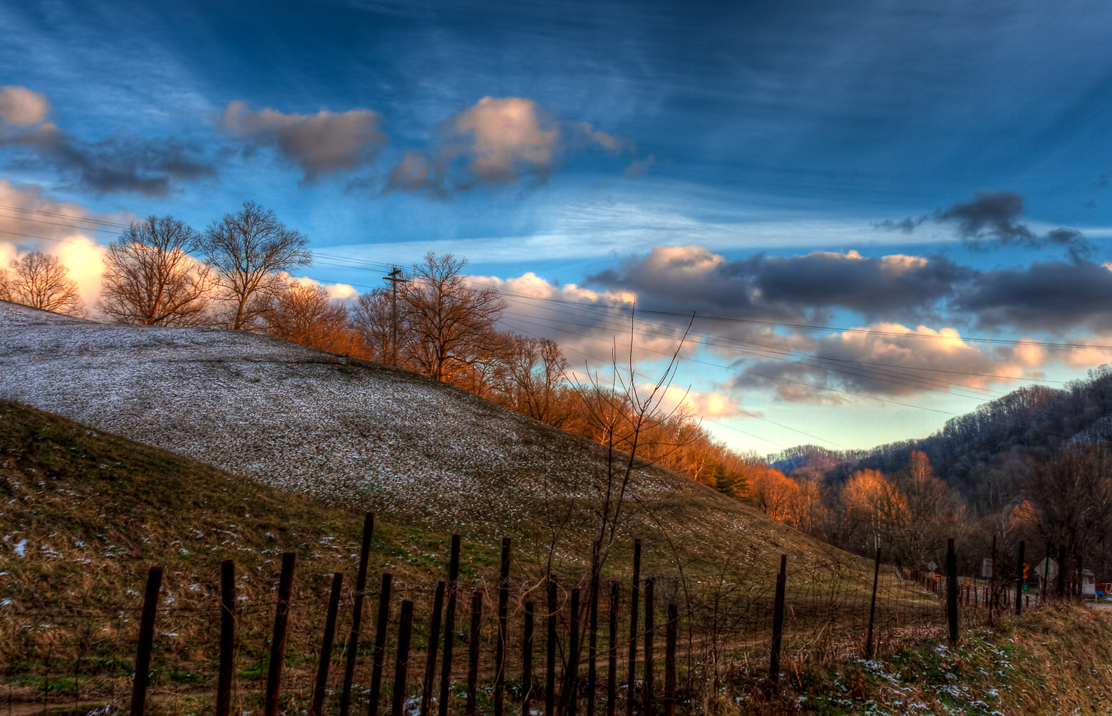
IMG_9591_2_3_tonemapped_2-Edit.jpg
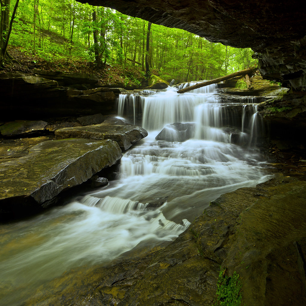
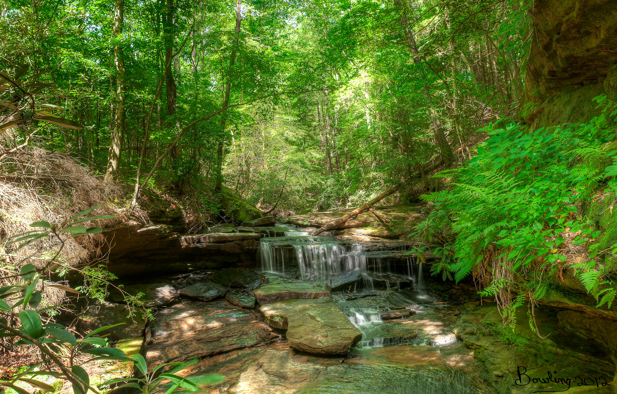
Upper Mud Lick Falls in Johnson County, KY
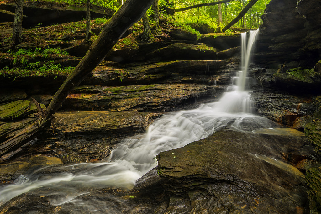
Lower Mud Lick Falls
LML Upper Falls 011
20120520- Little Mudlick - KY
an inside job

Remnants: Path to Jenny Wiley's Grave Site
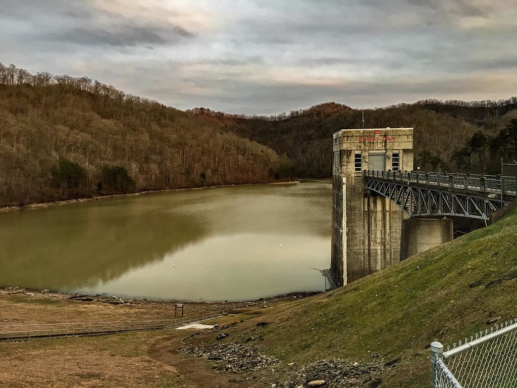
Dewey Dam
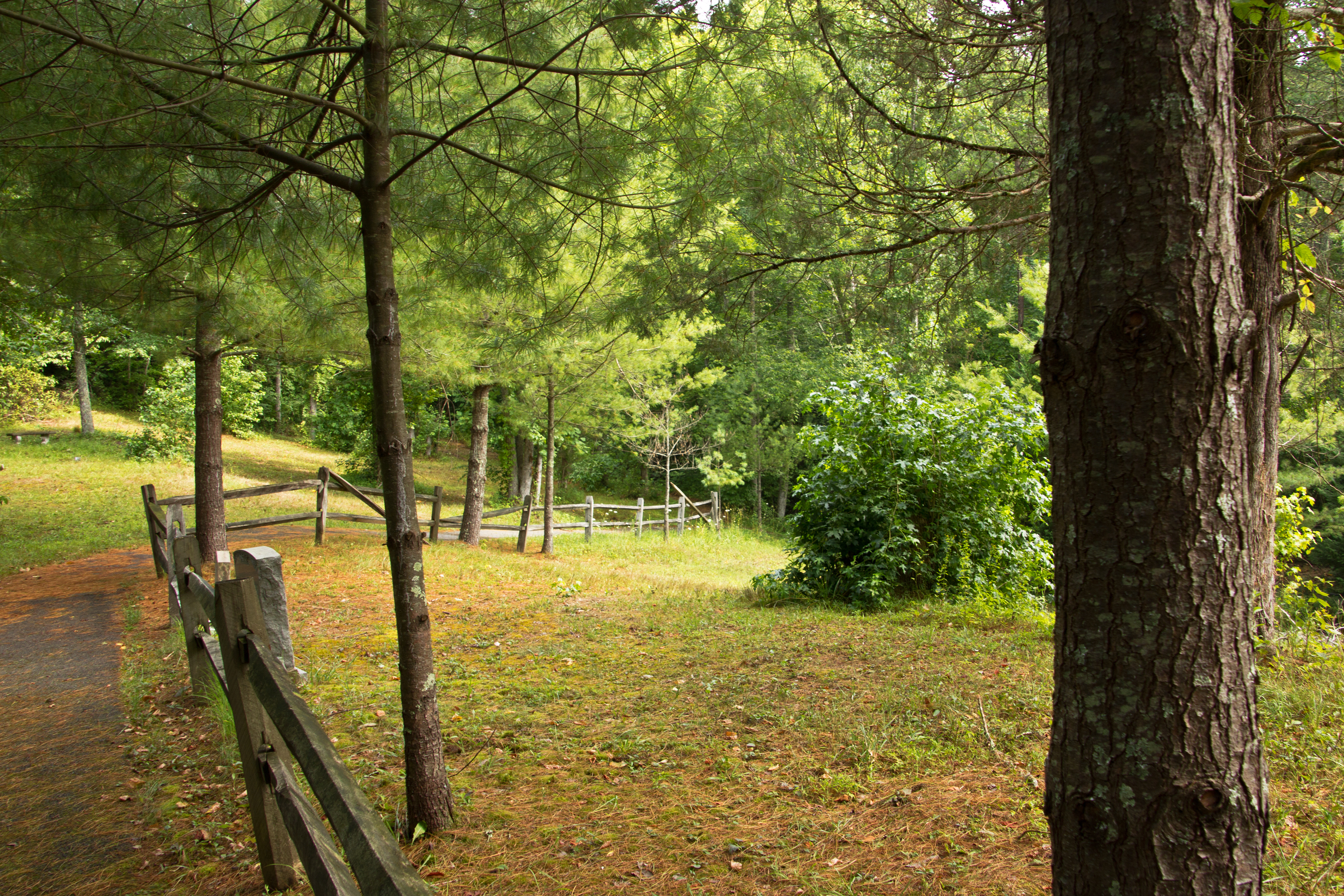
Path to Jenny Wiley's Grave Site
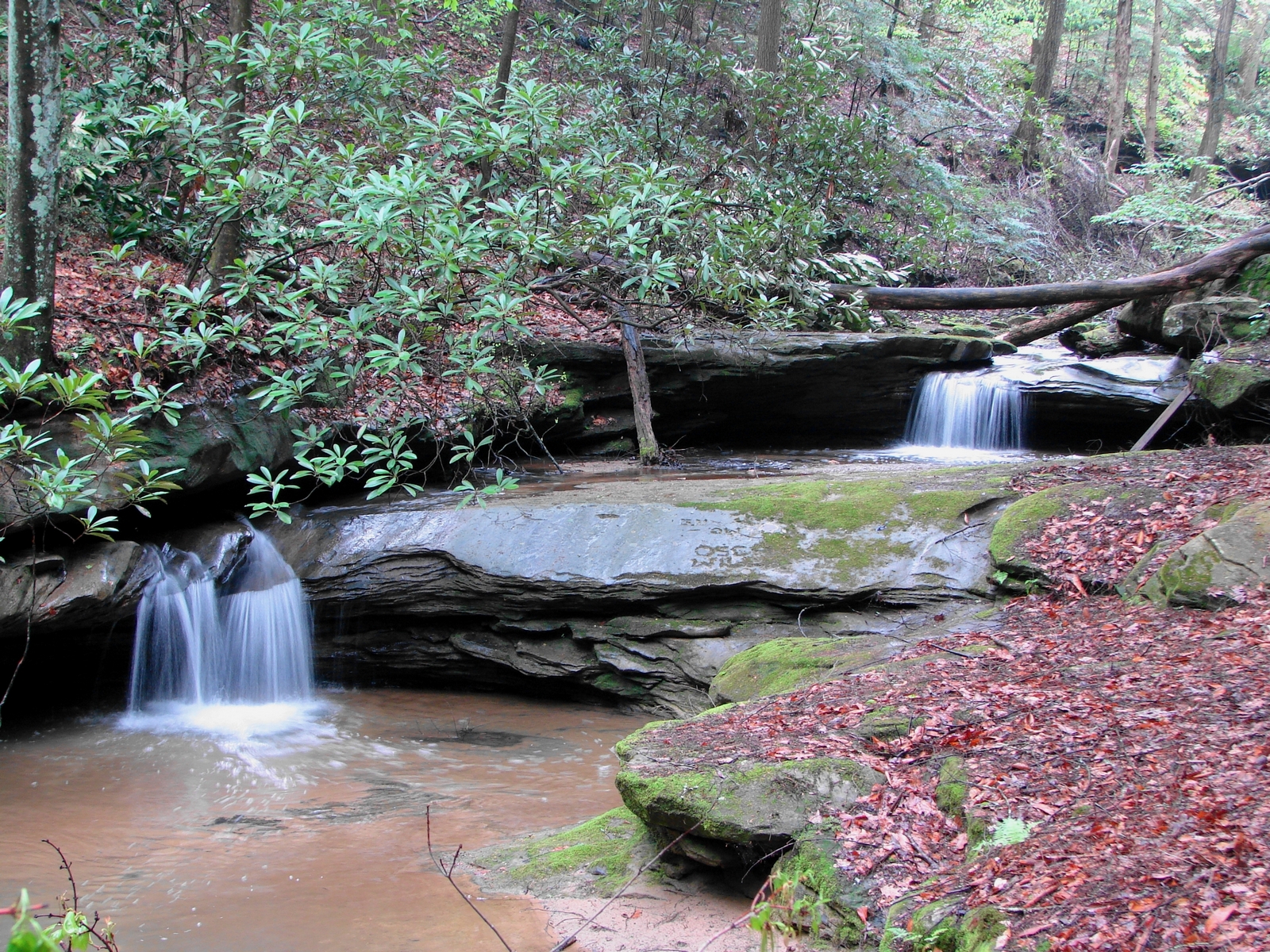
LML Middle Falls 048
coal leaves
Dawkins Line MP 0.4 - Hagerhill - DSC00942

Butcher Hollow

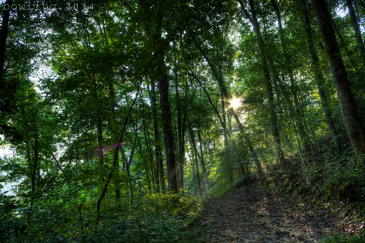
Rainy, foggy trail hike
Dawkins Line MP 2.4 - Collista - DSC00944
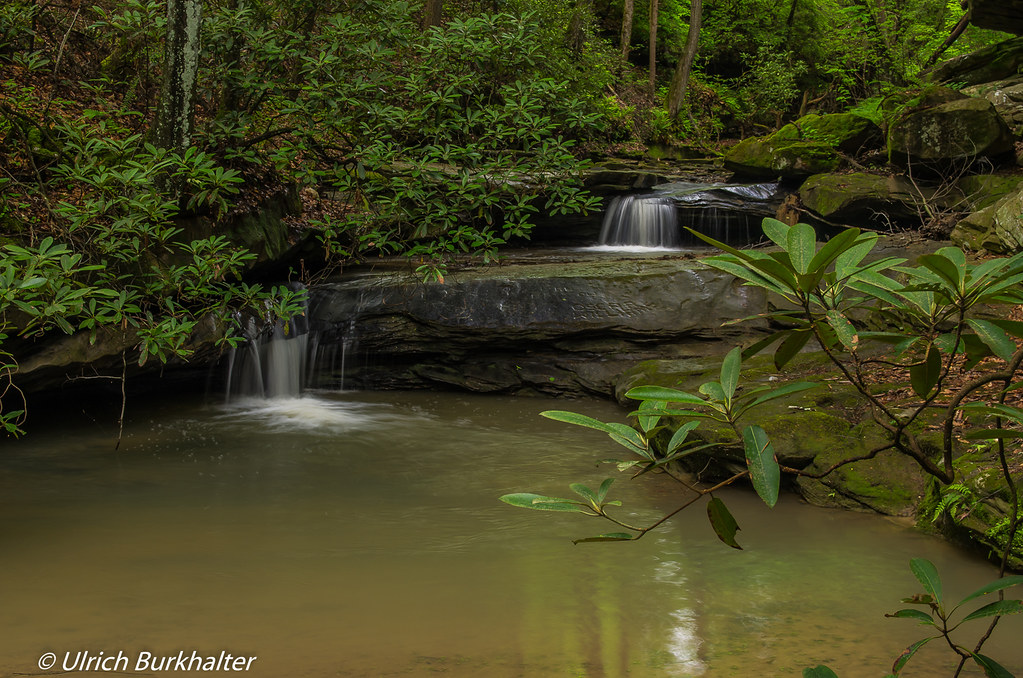
Little Mudlick Creek
Topographic Map of E Dorton Blvd, Staffordsville, KY, USA
Find elevation by address:

Places near E Dorton Blvd, Staffordsville, KY, USA:
Staffordsville
Johnson County
KY-40, Staffordsville, KY, USA
Paintsville
Sitka
72 Combs Dr, Paintsville, KY, USA
Lyons Ave, Paintsville, KY, USA
Tutor Key Rd, Tutor Key, KY, USA
80 Riverdale Dr, Thelma, KY, USA
Thelma
Tutor Key
KY-, Sitka, KY, USA
KY-, Sitka, KY, USA
Flatgap
Hatfield Branch Road
680 Lost Creek Rd
673 Lost Creek Rd
660 Lost Creek Rd
Lost Creek Road
222 Lost Creek Rd
Recent Searches:
- Elevation of Groblershoop, South Africa
- Elevation of Power Generation Enterprises | Industrial Diesel Generators, Oak Ave, Canyon Country, CA, USA
- Elevation of Chesaw Rd, Oroville, WA, USA
- Elevation of N, Mt Pleasant, UT, USA
- Elevation of 6 Rue Jules Ferry, Beausoleil, France
- Elevation of Sattva Horizon, 4JC6+G9P, Vinayak Nagar, Kattigenahalli, Bengaluru, Karnataka, India
- Elevation of Great Brook Sports, Gold Star Hwy, Groton, CT, USA
- Elevation of 10 Mountain Laurels Dr, Nashua, NH, USA
- Elevation of 16 Gilboa Ln, Nashua, NH, USA
- Elevation of Laurel Rd, Townsend, TN, USA