Elevation of E County Line Rd, Atlanta, IN, USA
Location: United States > Indiana > Tipton County > Jefferson Township >
Longitude: -86.130657
Latitude: 40.2172212
Elevation: 278m / 912feet
Barometric Pressure: 98KPa
Elevation Map:
Satellite Map:
Related Photos:
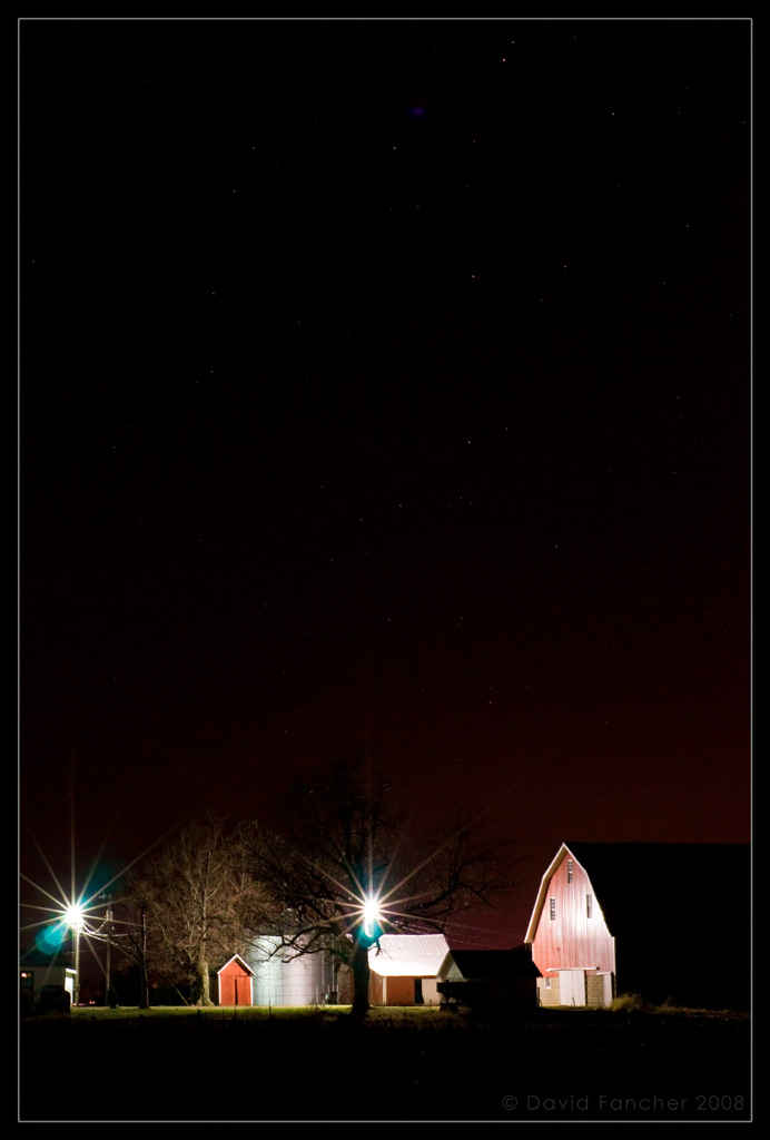
Indiana Night

Tobacco sky

My favorite view in Grandma Spelbring's house... Great breeze, perfect temps, all windows open.... So peaceful. Don't want to leave. #family #indiana
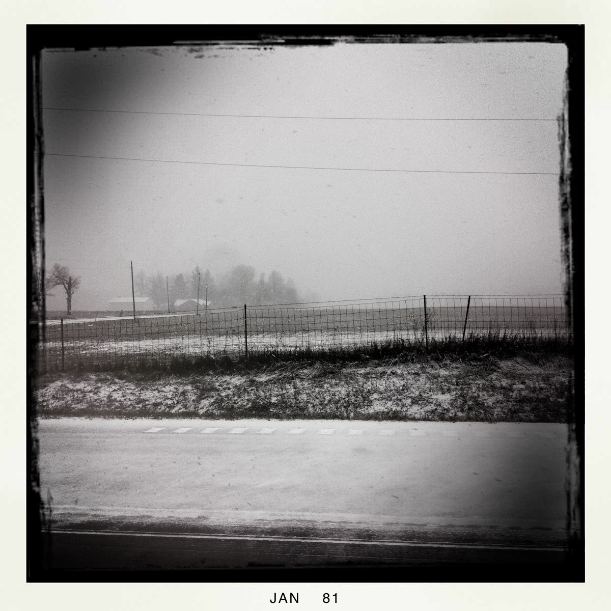
Flurry 2
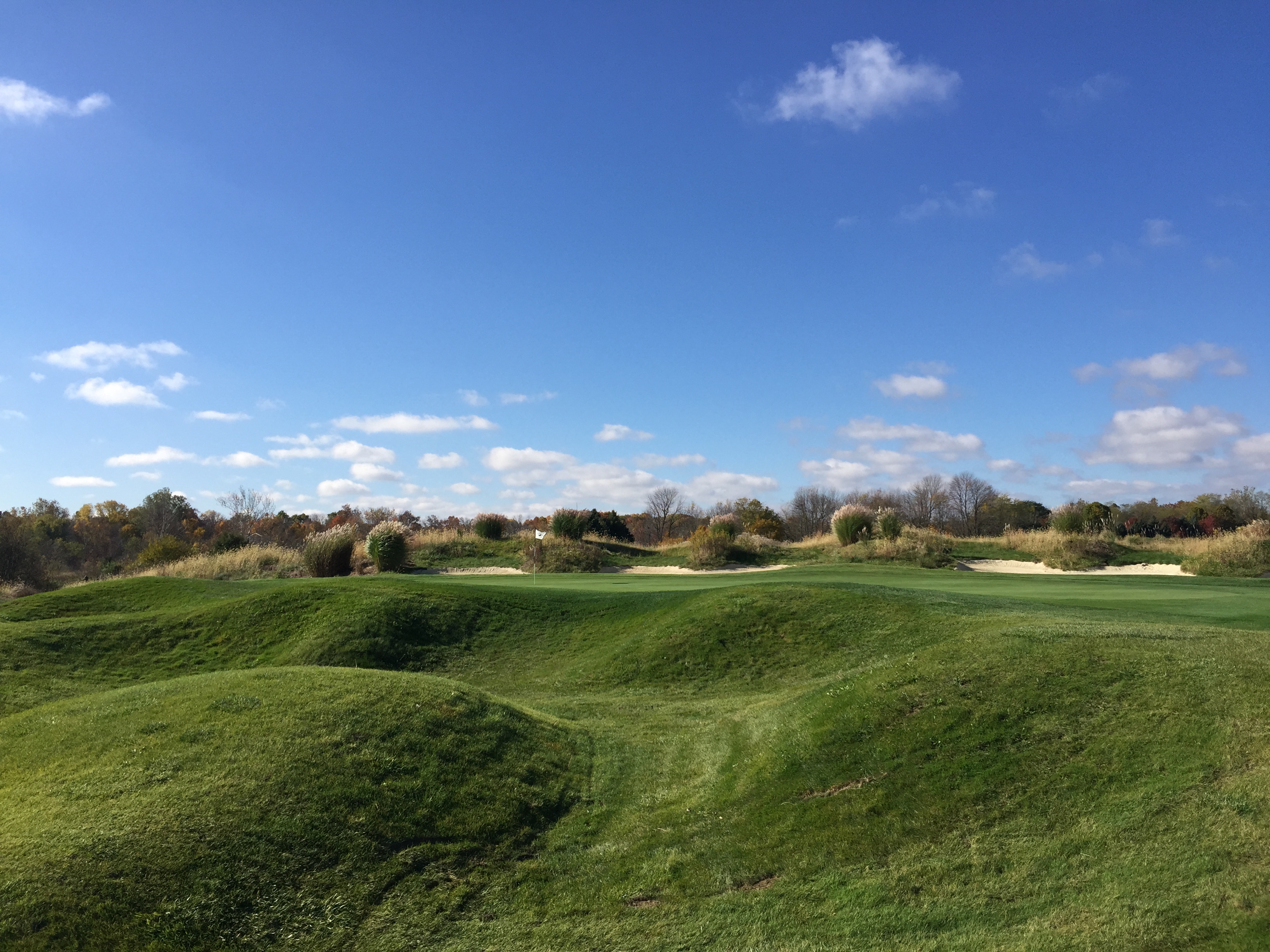
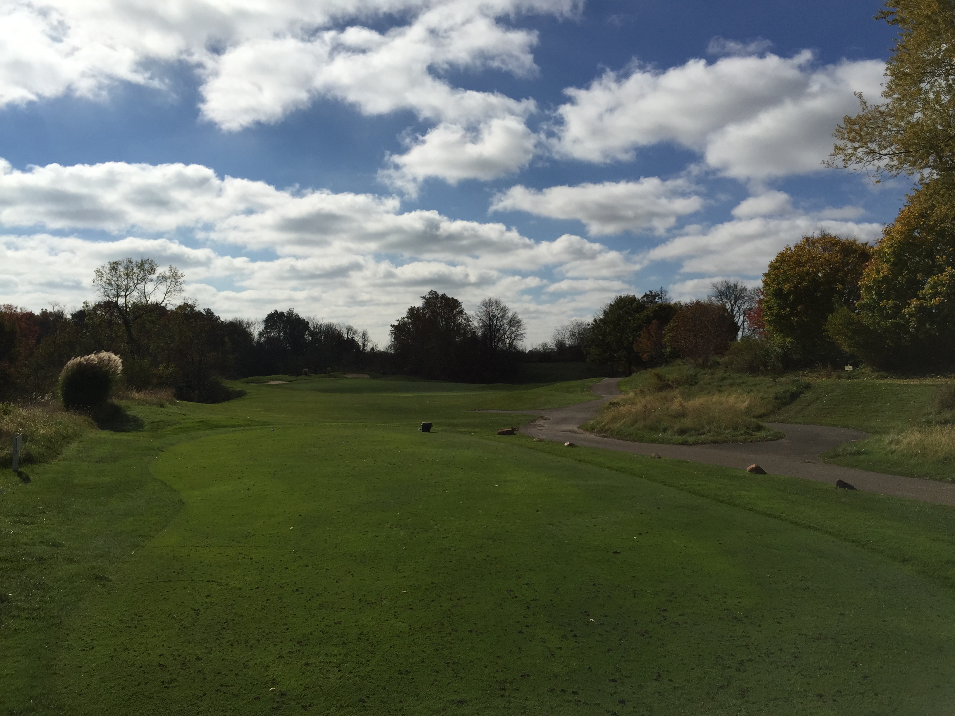
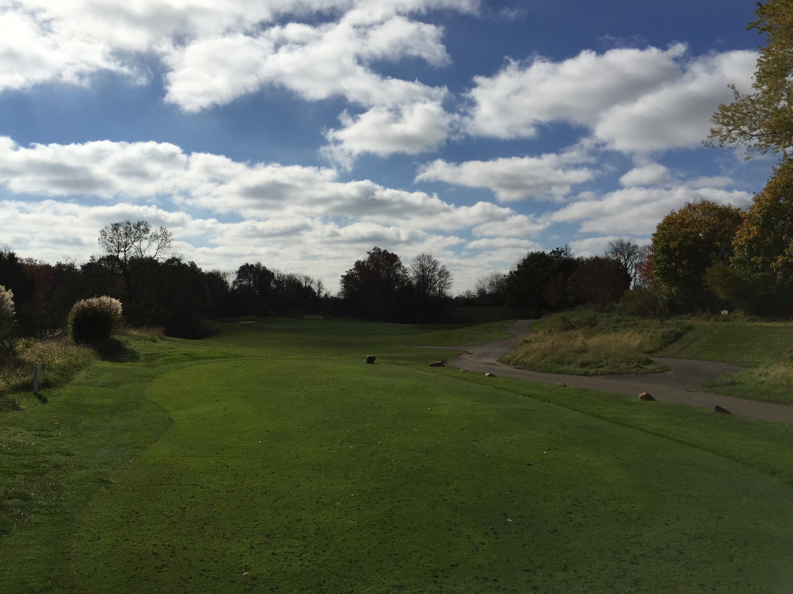
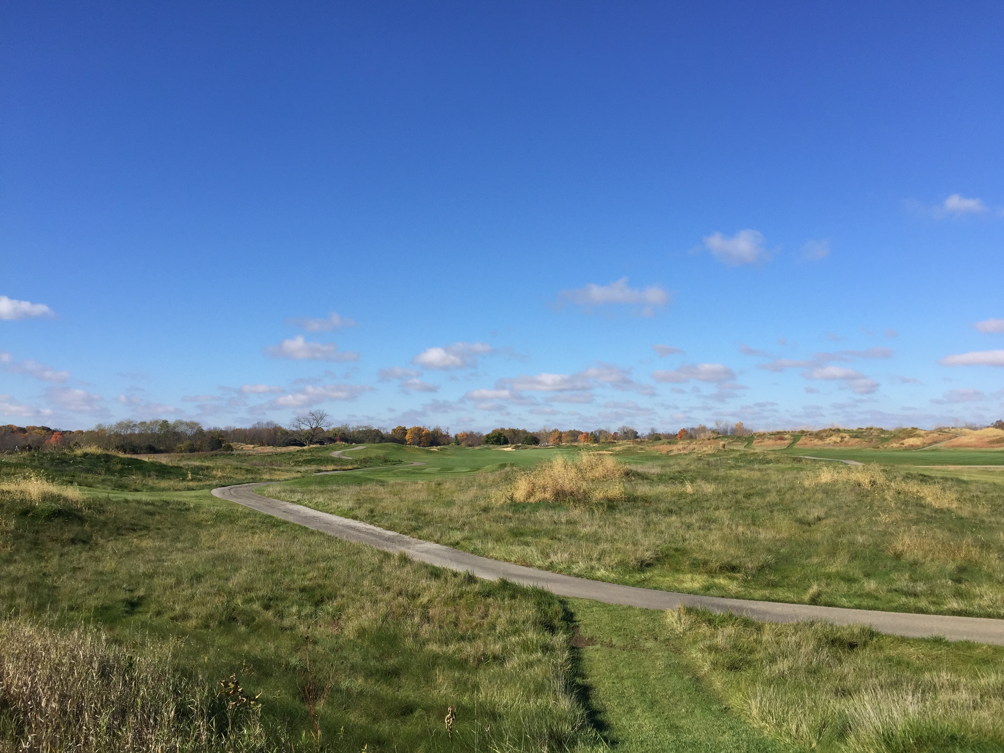
Bearslide Golf Club
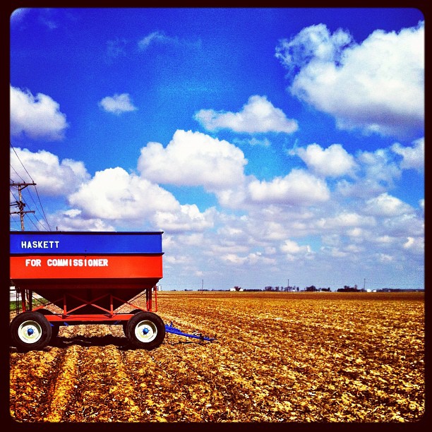
a local county #candidate utilizes a...
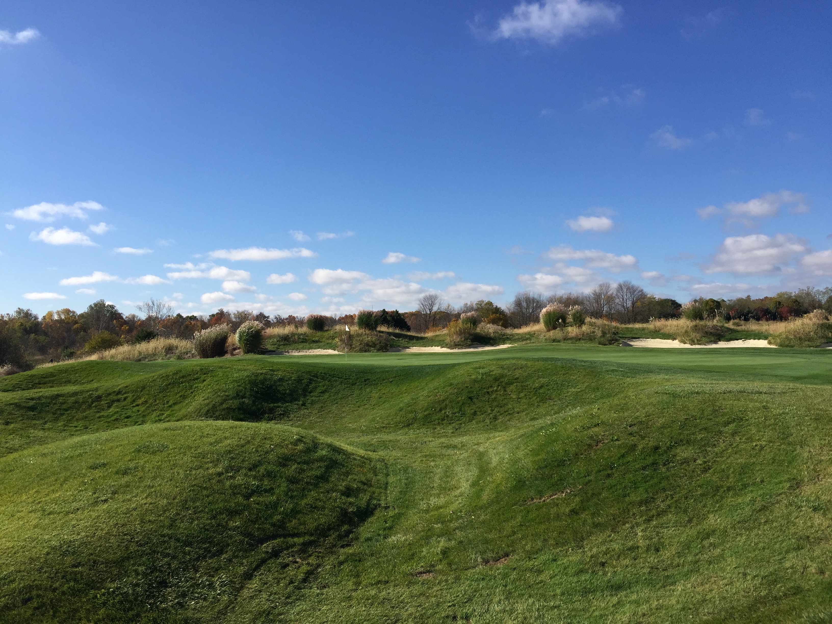
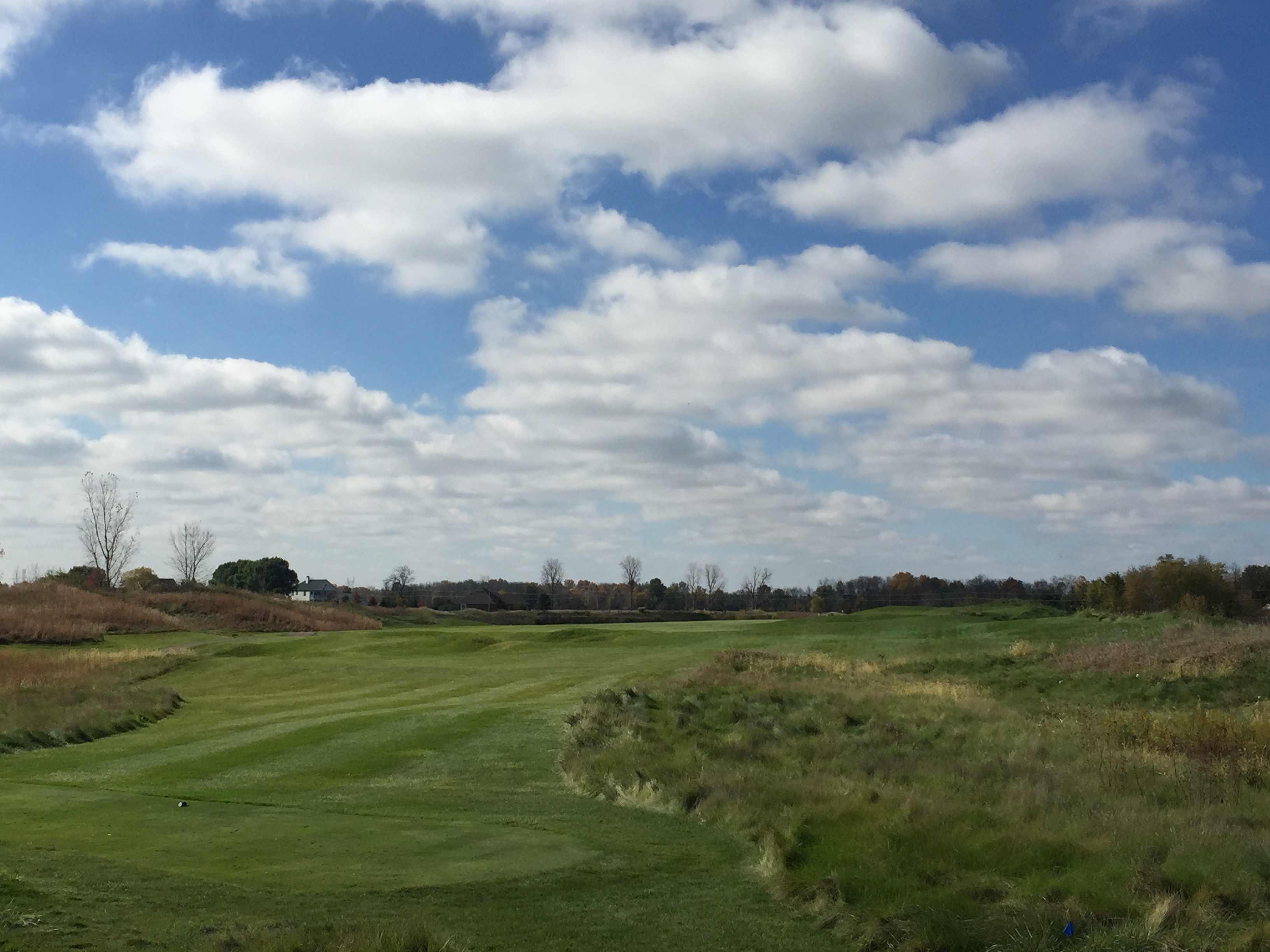
Bearslide Golf Club
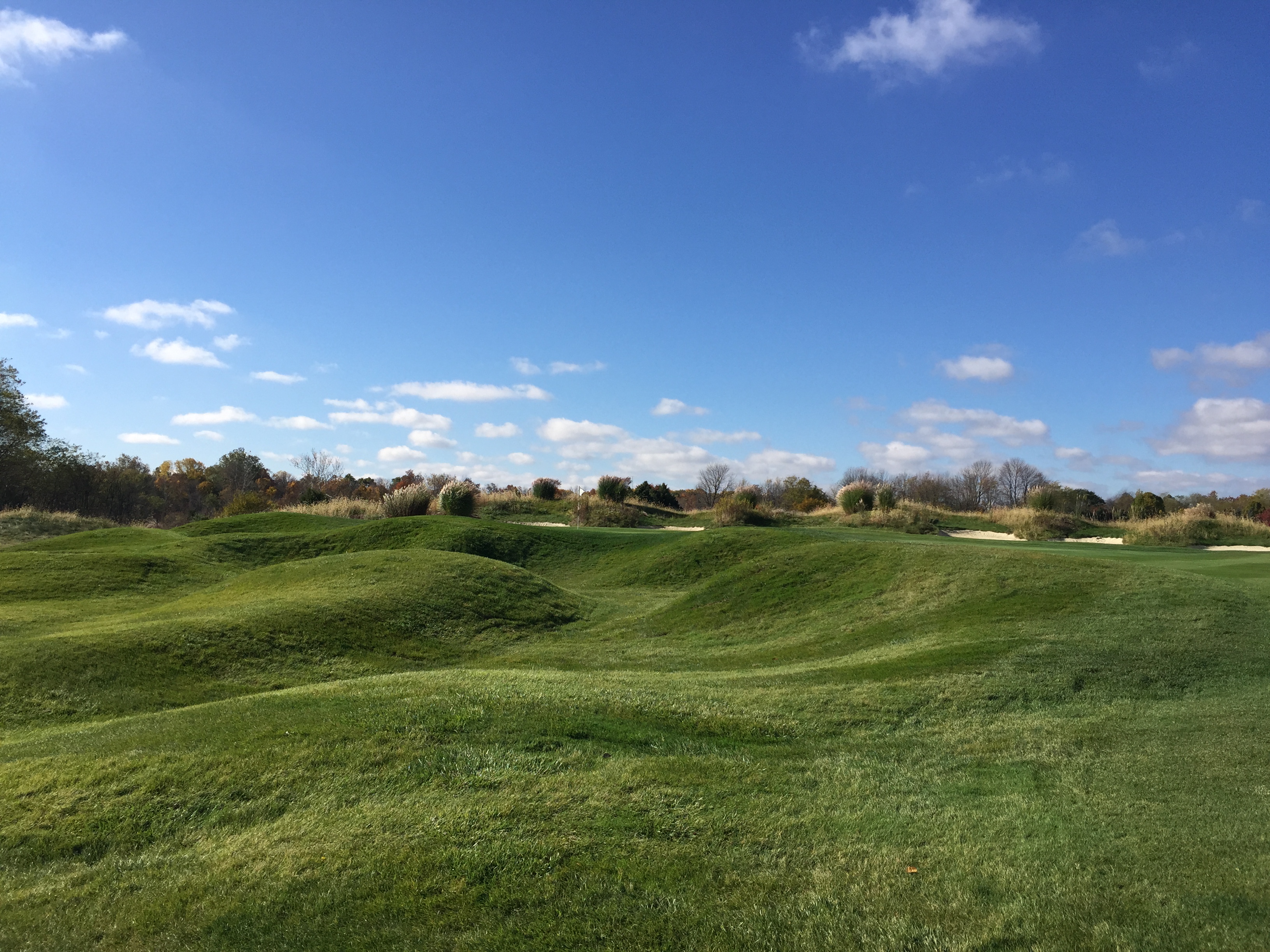
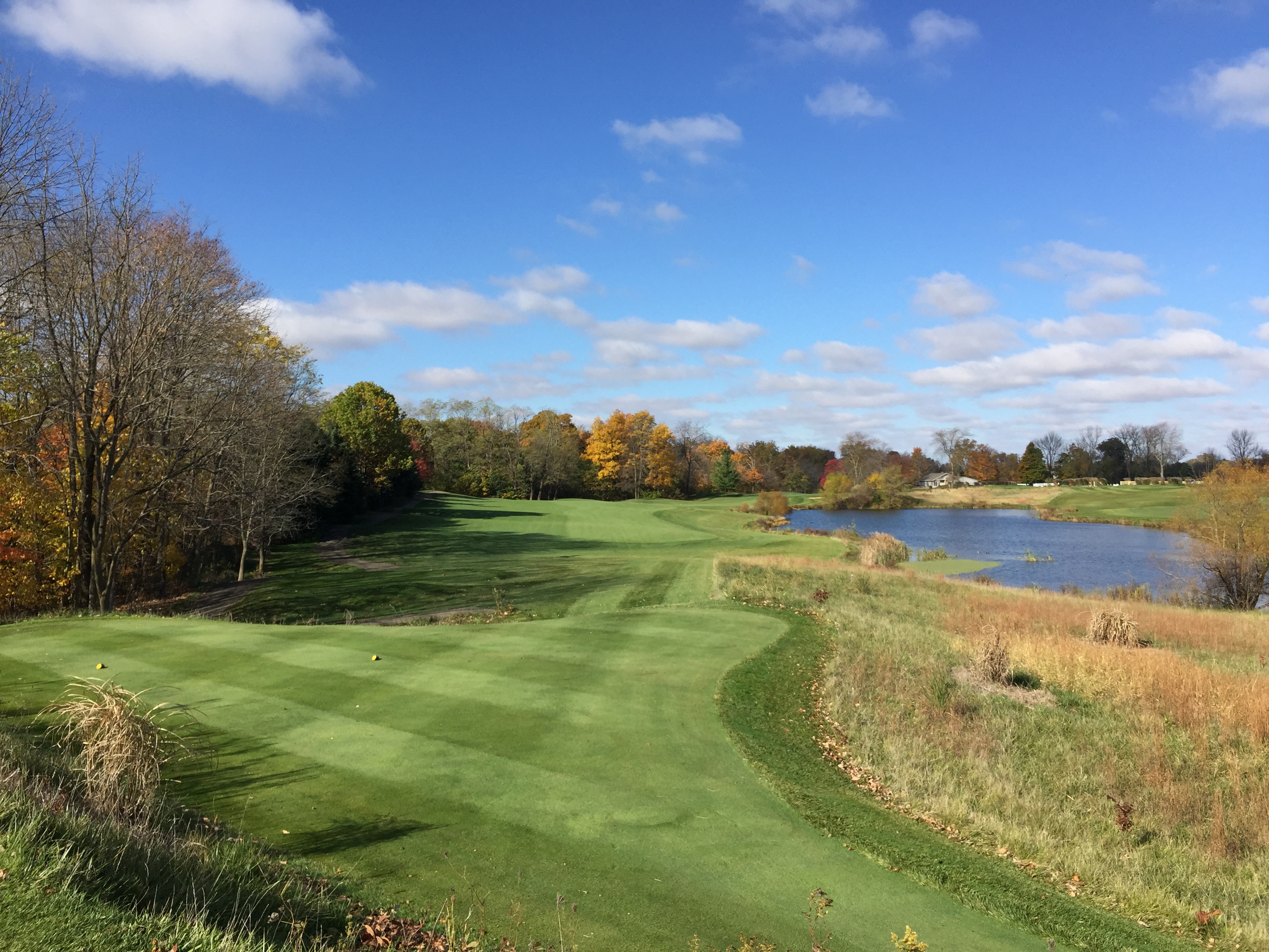
Bearslide Golf Club
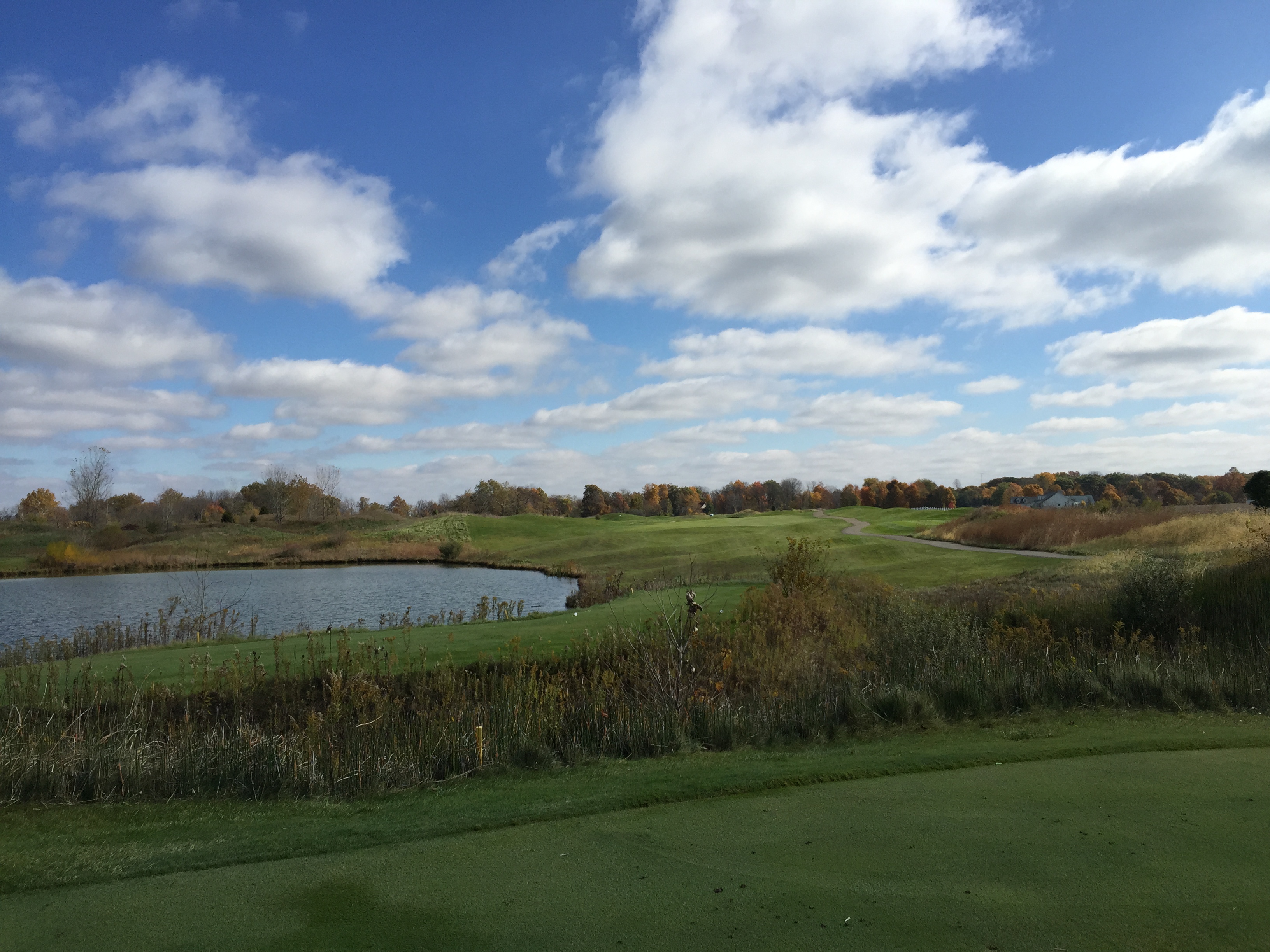
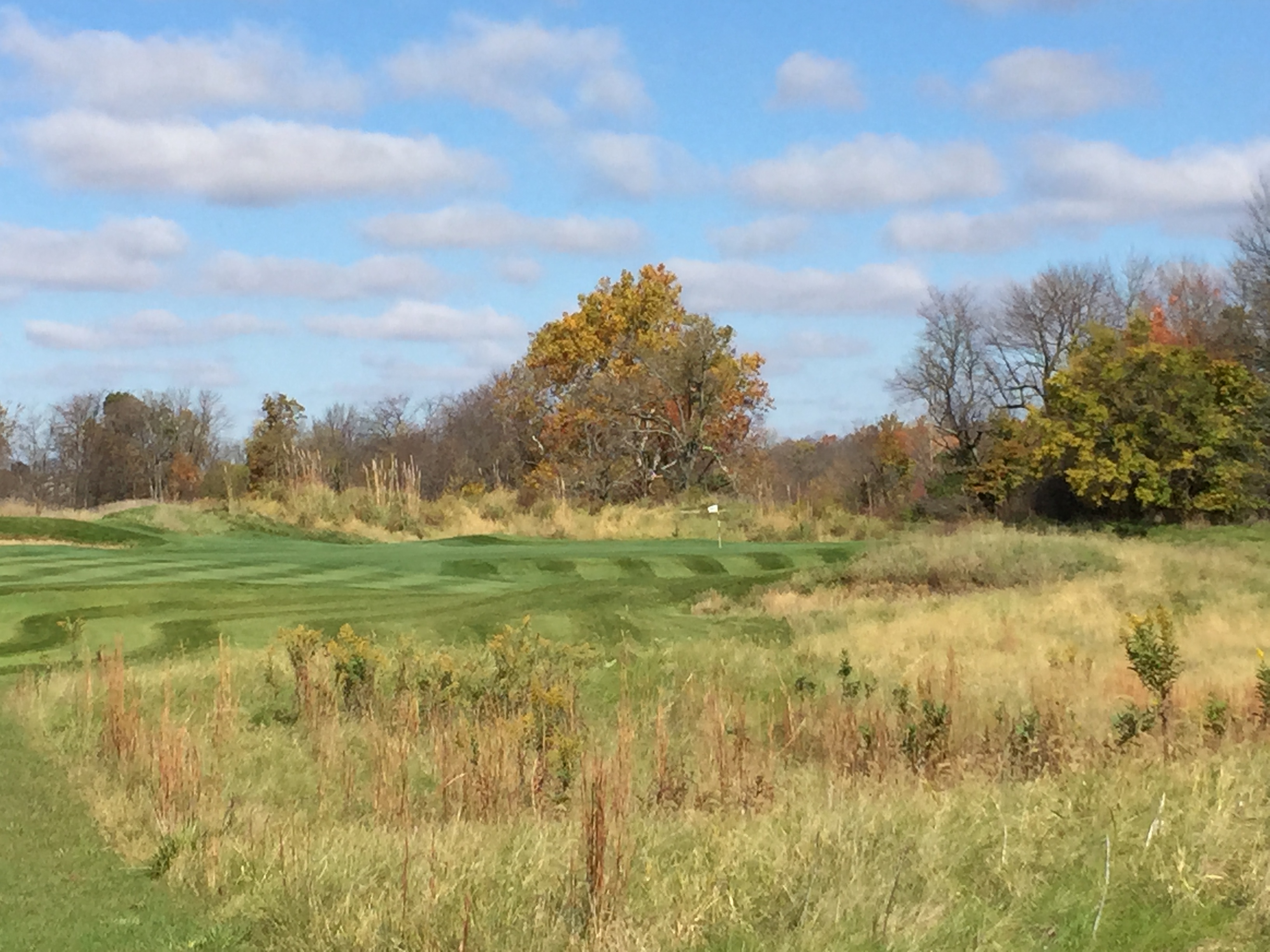
Bearslide Golf Club

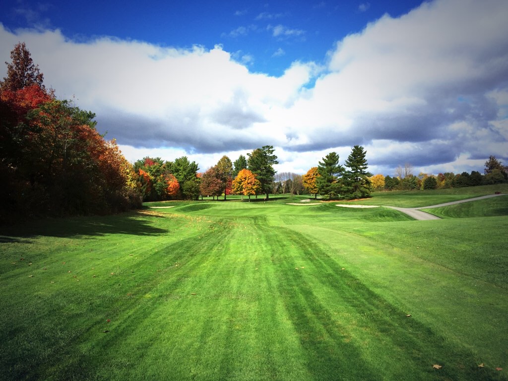
The green
Bearslide Golf Club

River of Flames
Bearslide Golf Club
Bearslide Golf Club
Bearslide Golf Club

Seriously? Could there be a more beautiful sunrise?! #sunrise #indiana #morning #beauty #simplethings
Bearslide Golf Club
Bearslide Golf Club
Bearslide Golf Club
Bearslide Golf Club
Bearslide Golf Club
Bearslide Golf Club
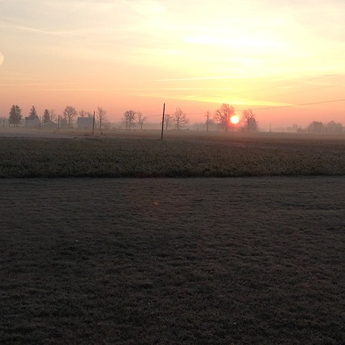
Good morning, Indiana country. #indiana #fall #haze #sunrise #nofilter
Bearslide Golf Club
Topographic Map of E County Line Rd, Atlanta, IN, USA
Find elevation by address:

Places near E County Line Rd, Atlanta, IN, USA:
Jackson Township
Atlanta
S Railroad St, Atlanta, IN, USA
E Main St, Cicero, IN, USA
Millersburg Rd, Arcadia, IN, USA
Arcadia
Cicero
S Peru St, Cicero, IN, USA
Teter Retreat And Organic Farm
E st St, Arcadia, IN, USA
Koteewi Dr, Noblesville, IN, USA
E th St, Cicero, IN, USA
Strawtown Ave, Noblesville, IN, USA
White River Township
E st St, Atlanta, IN, USA
29334 In-37
W Center St, Anderson, IN, USA
Jackson
Stony Creek Township
Pipe Creek Township
Recent Searches:
- Elevation of Woolwine, VA, USA
- Elevation of Lumagwas Diversified Farmers Multi-Purpose Cooperative, Lumagwas, Adtuyon, RV32+MH7, Pangantucan, Bukidnon, Philippines
- Elevation of Homestead Ridge, New Braunfels, TX, USA
- Elevation of Orchard Road, Orchard Rd, Marlborough, NY, USA
- Elevation of 12 Hutchinson Woods Dr, Fletcher, NC, USA
- Elevation of Holloway Ave, San Francisco, CA, USA
- Elevation of Norfolk, NY, USA
- Elevation of - San Marcos Pass Rd, Santa Barbara, CA, USA
- Elevation of th Pl SE, Issaquah, WA, USA
- Elevation of 82- D Rd, Captain Cook, HI, USA