Elevation of E 2nd St, Colorado City, TX, USA
Location: United States > Texas >
Longitude: -100.86517
Latitude: 32.388217
Elevation: 632m / 2073feet
Barometric Pressure: 94KPa
Elevation Map:
Satellite Map:
Related Photos:
rest stop?

Road trip finds. #roadtrip #texas #travel #adventure #holiday #truck #rust #retirement

Good morning #texas #sweetwater #middleofnowhere #boring #longdrive #roadtrip #lexus

The Deserted Desert

Sunrise over Fog

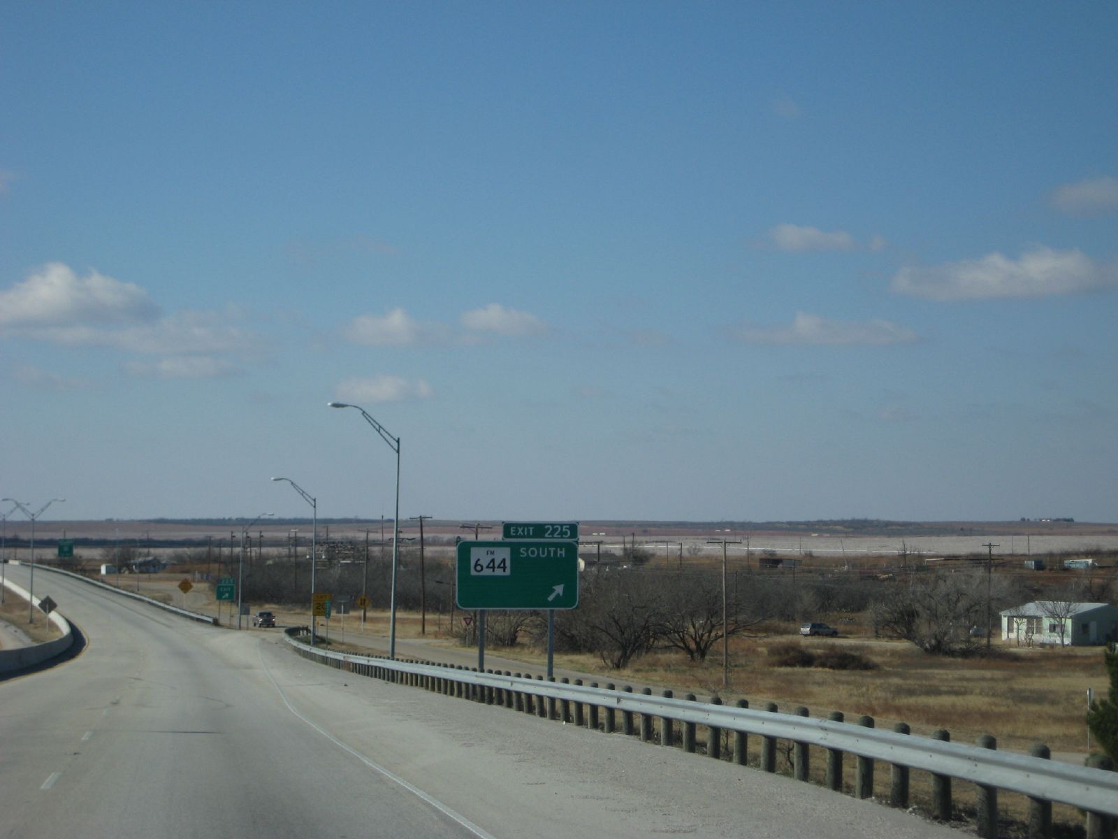
TX Colorado City April 2015 8386

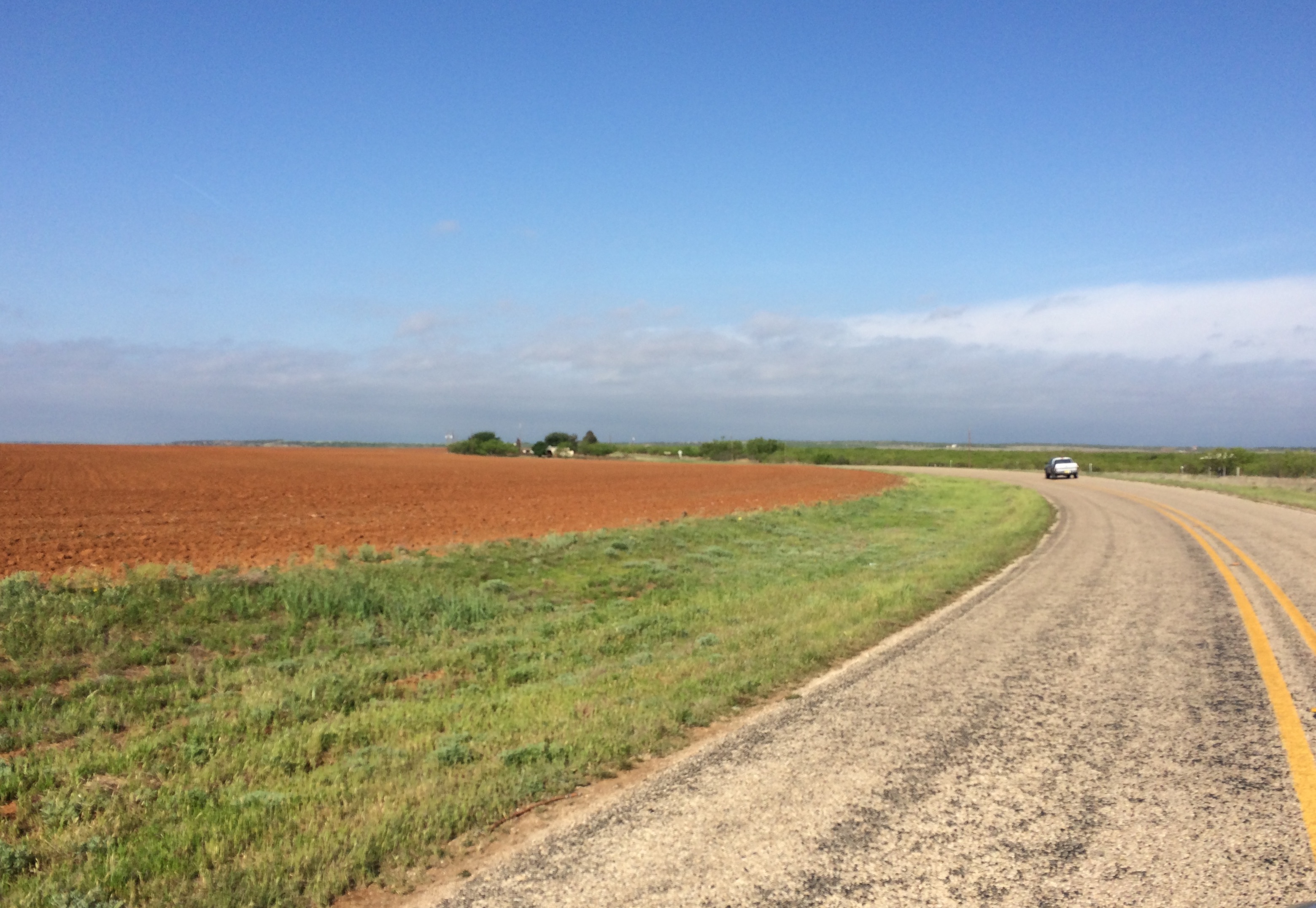
TX Colorado City April 2015 8389

TX Colorado City April 2015 8394

TX Colorado City April 2015 8387
SOTF Bankhead Highway TX Apr 2016 12542
Topographic Map of E 2nd St, Colorado City, TX, USA
Find elevation by address:

Places near E 2nd St, Colorado City, TX, USA:
Colorado City
Westbrook
Loraine
Ira
Hermleigh
Scurry County
3006 Crockett Ave
Roscoe
Snyder
1003 Avenue E
Co Rd, Sweetwater, TX, USA
Sweetwater
600 Tx-70 Bus
600 Tx-70
Nolan County
Dermott, TX, USA
596 County Rd 310
Fluvanna
FM57, Roby, TX, USA
Roby
Recent Searches:
- Elevation of Hercules Dr, Colorado Springs, CO, USA
- Elevation of Szlak pieszy czarny, Poland
- Elevation of Griffing Blvd, Biscayne Park, FL, USA
- Elevation of Kreuzburger Weg 13, Düsseldorf, Germany
- Elevation of Gateway Blvd SE, Canton, OH, USA
- Elevation of East W.T. Harris Boulevard, E W.T. Harris Blvd, Charlotte, NC, USA
- Elevation of West Sugar Creek, Charlotte, NC, USA
- Elevation of Wayland, NY, USA
- Elevation of Steadfast Ct, Daphne, AL, USA
- Elevation of Lagasgasan, X+CQH, Tiaong, Quezon, Philippines