Elevation of Dysart and Others, ON, Canada
Location: Canada > Ontario > Haliburton County >
Longitude: -78.426398
Latitude: 45.239608
Elevation: 476m / 1562feet
Barometric Pressure: 96KPa
Elevation Map:
Satellite Map:
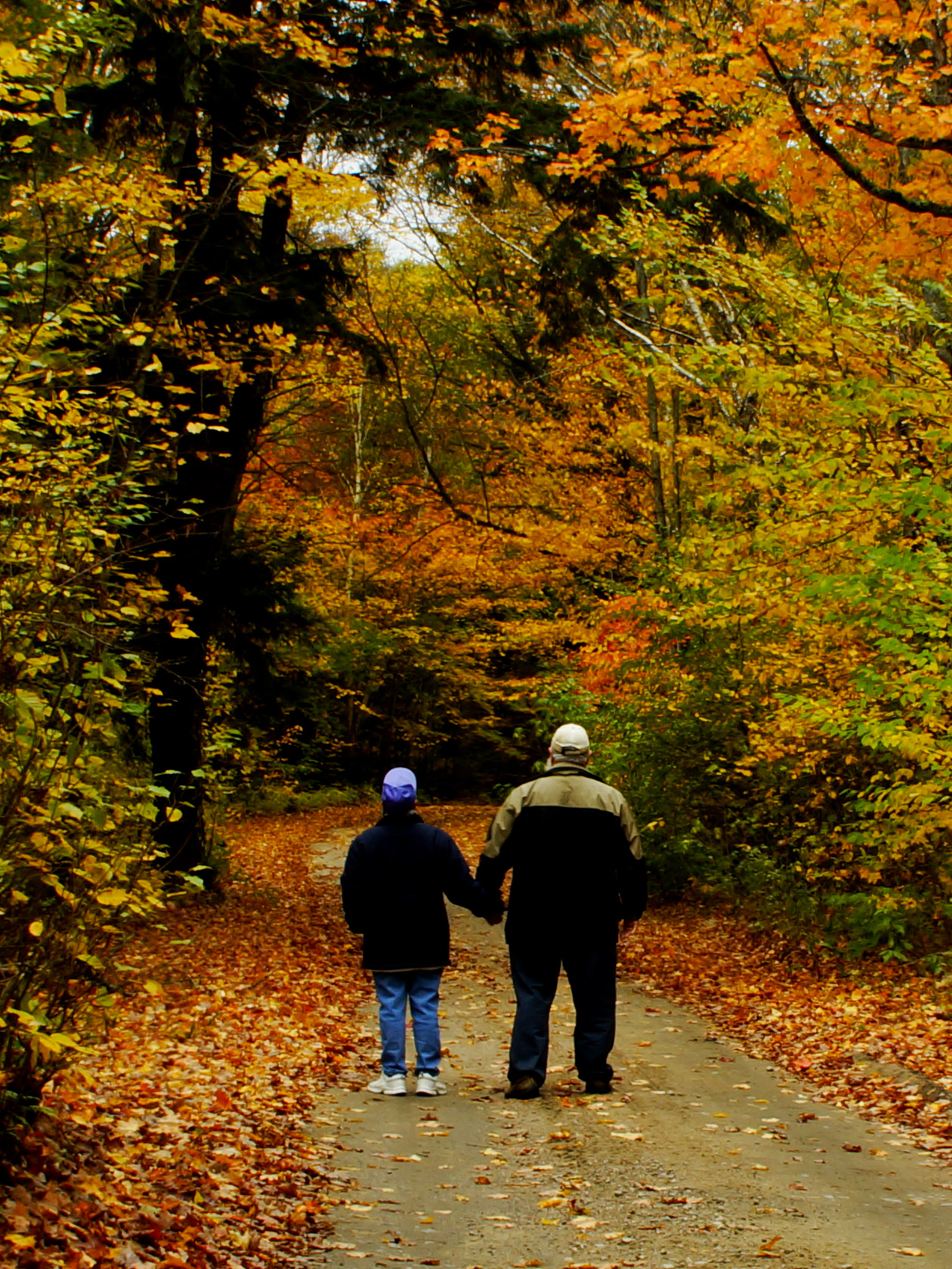
Related Photos:
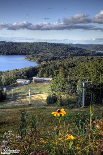
Sir Sams Ski Hill
Sir Sams Ski Hill{Fall_Parker}
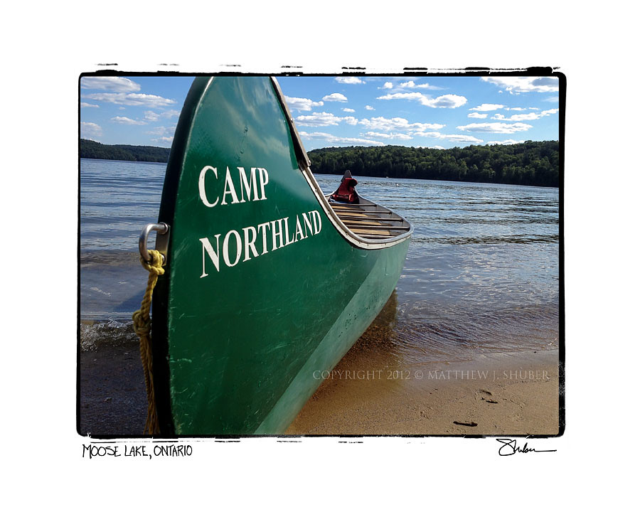
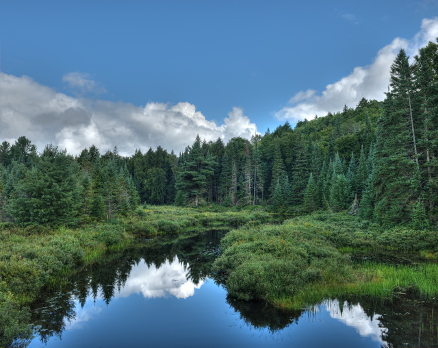
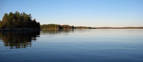
Moose Lake viewed from Camp Northland
View from Tony's balcony

Sir Sam's panorama
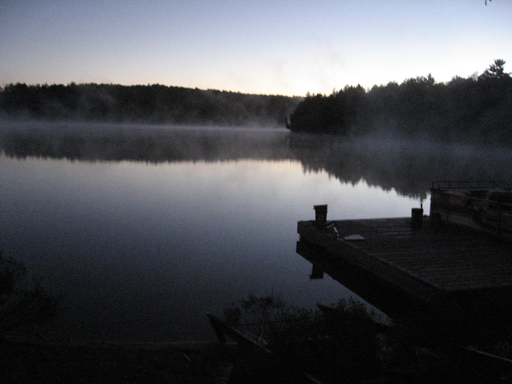
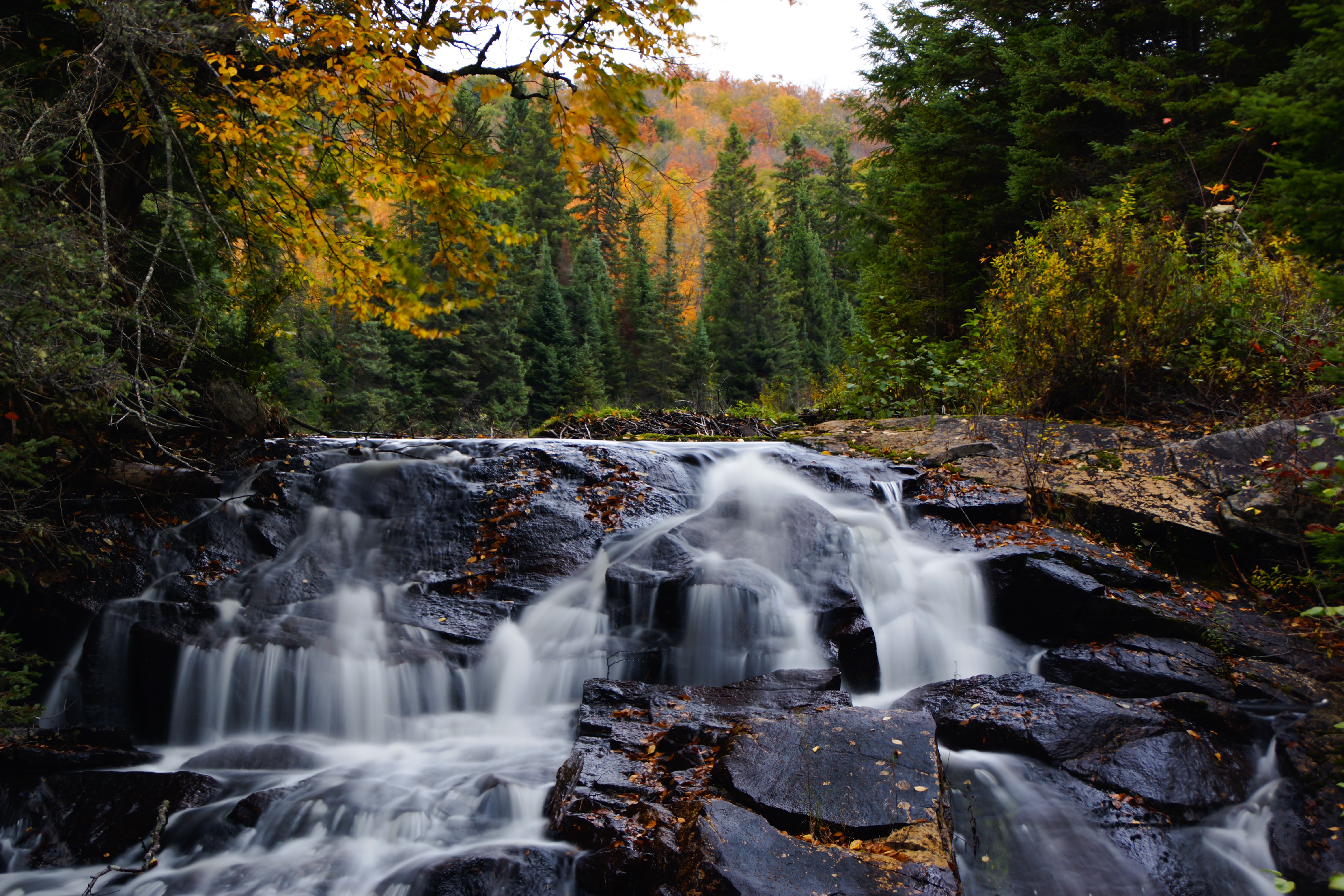
Haliburton Forest 100 - MacDonald Lake
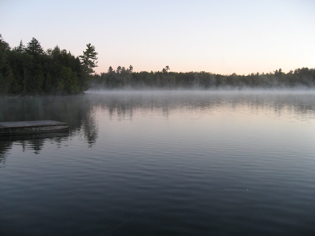
Haliburton Forest 100 - MacDonald Lake
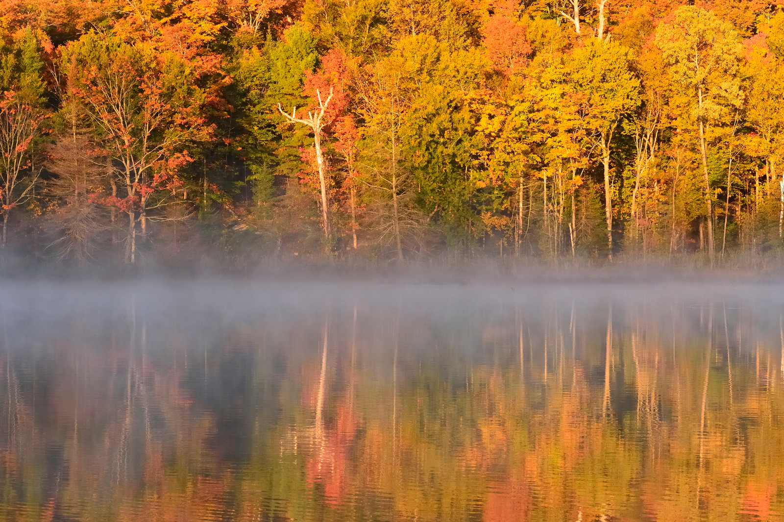
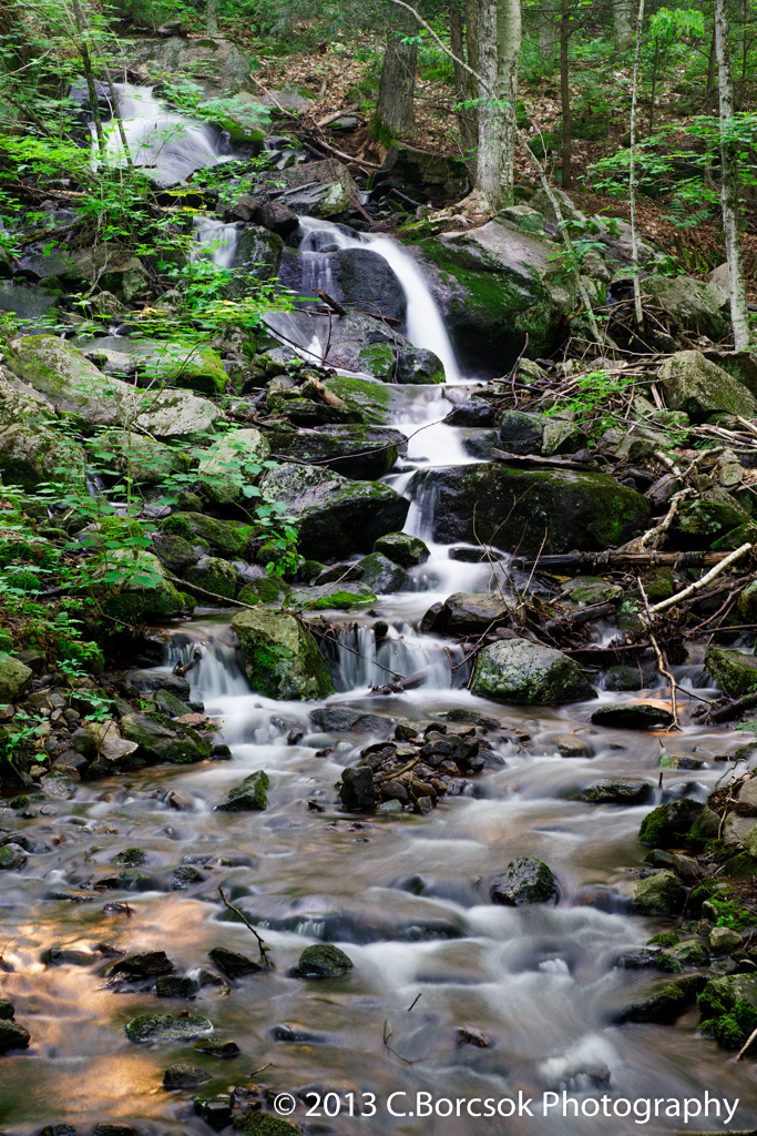
Fall Colours, Haliburton: Light, temperature, sugar and pigments
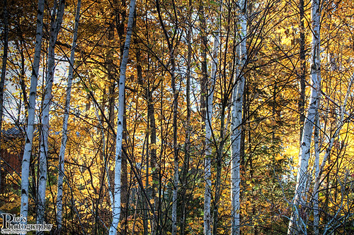
backlit birch
DSC00288.jpg

Eagle River
Haliburton wildlife forrest ont canada
_DSC3196_1.jpg
jane clouds october
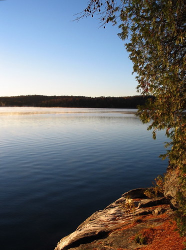
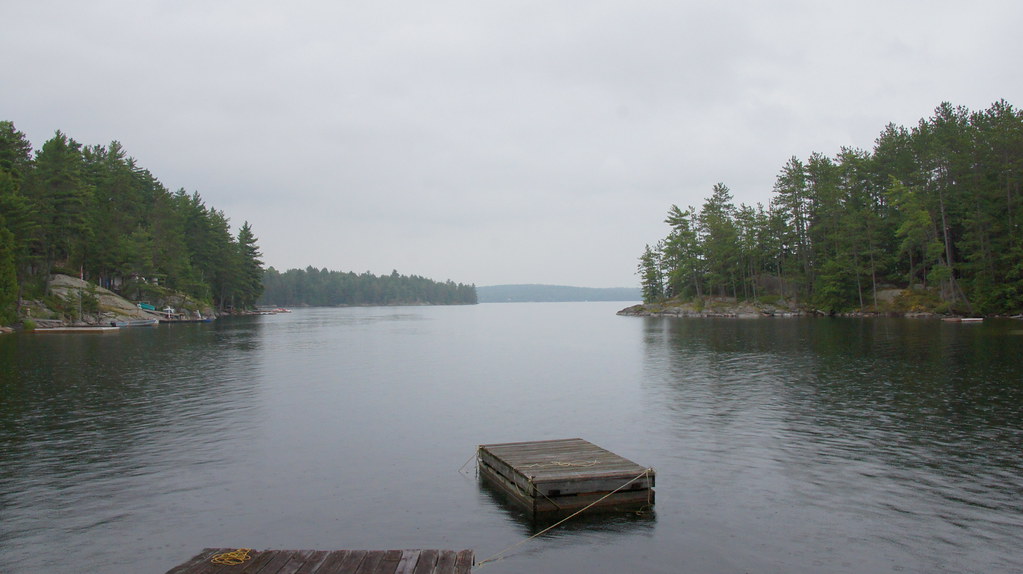
Shore, sunrise
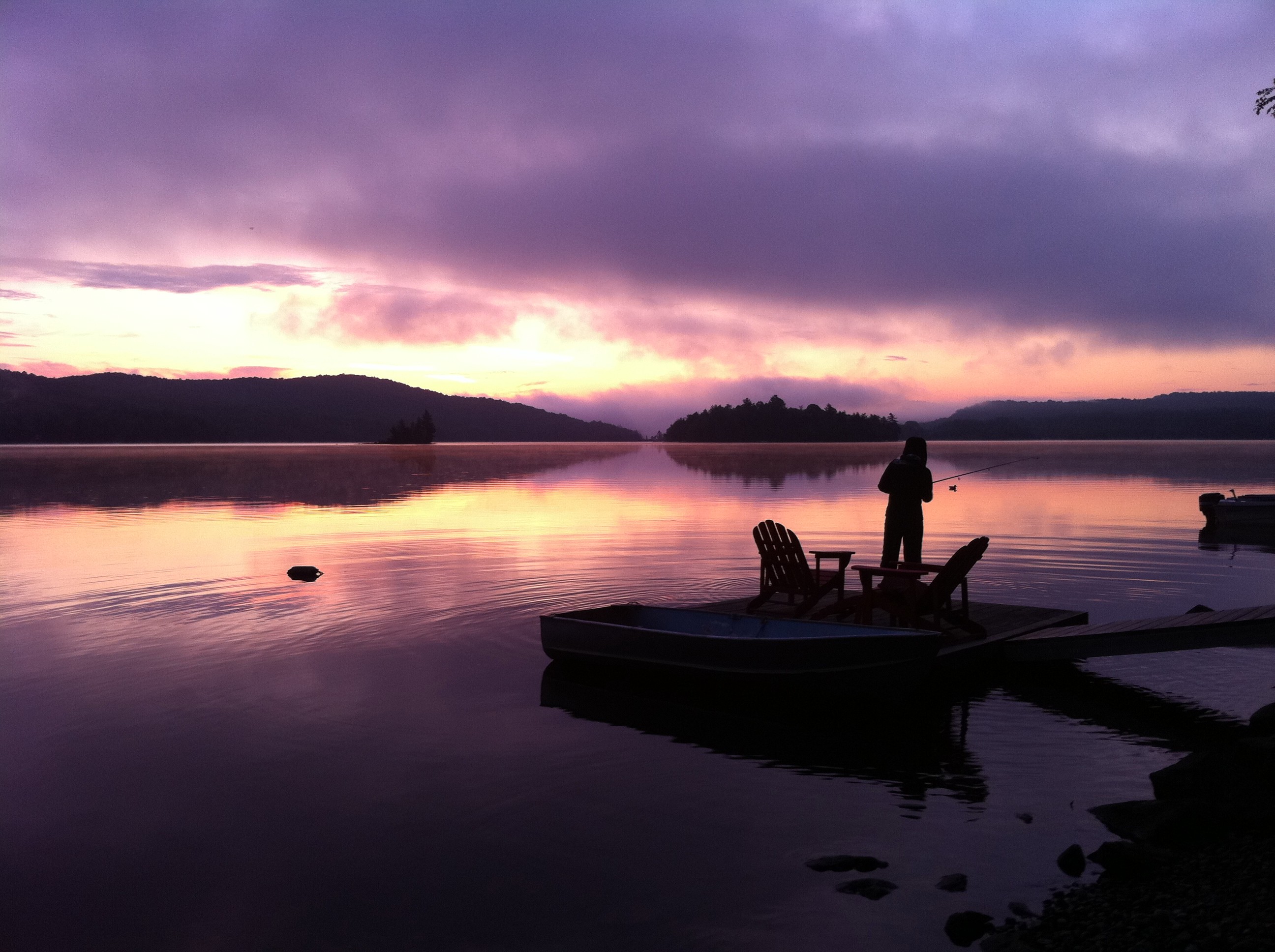
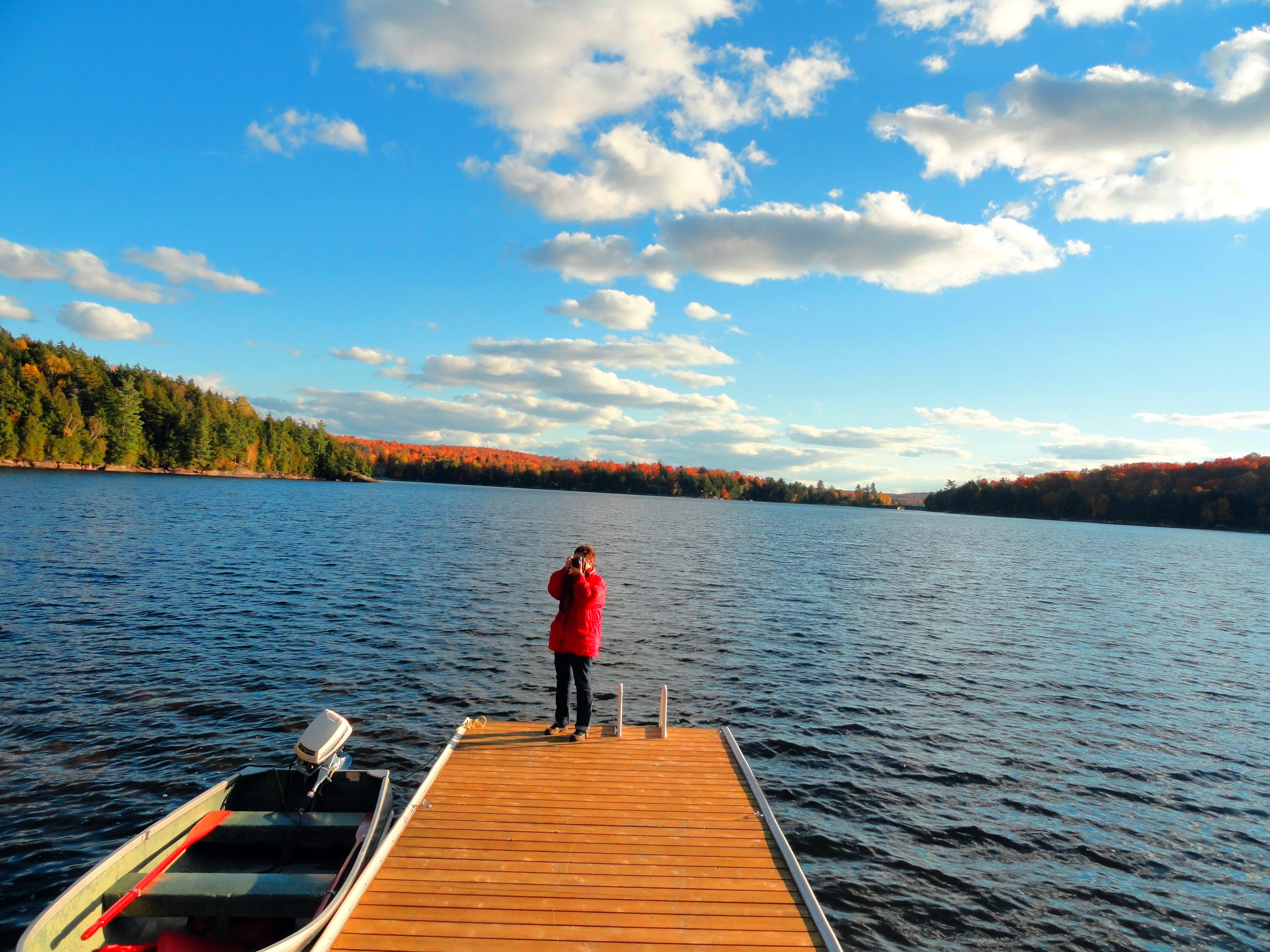
Fishing in the morning on Eagle Lake, ON
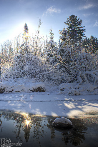
Winter at a glance_pt2
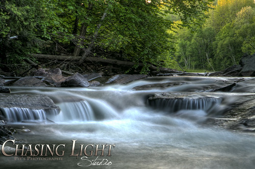
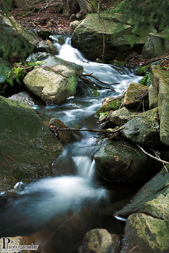
The rapids into Eagle Lake
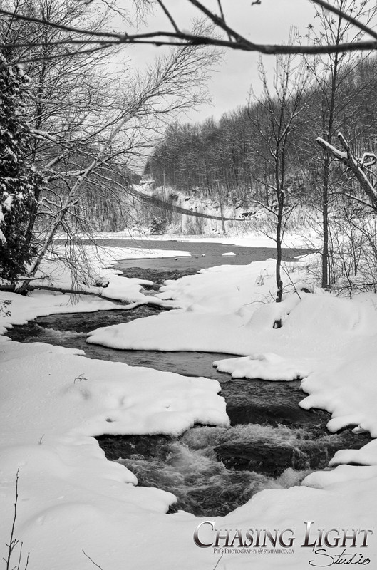
& back to memories of winter
Marsh Lake Bridge Vista
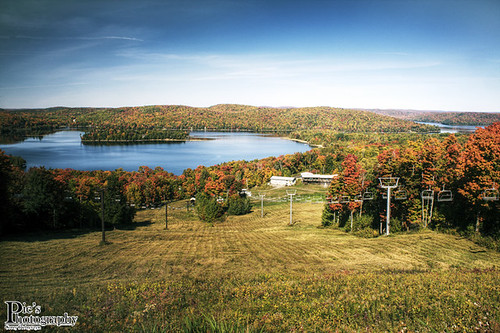
Sir Sams Ski Hill{Fall}
At Pinewood North
Lake, shore (1)
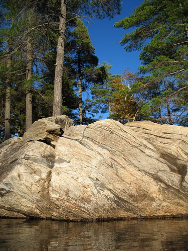
Blueberry Island (6)
My Backyard
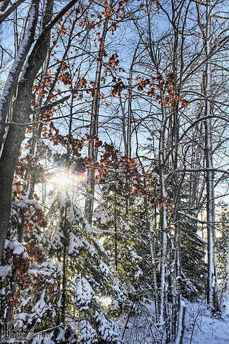
Winter at a glance
Topographic Map of Dysart and Others, ON, Canada
Find elevation by address:

Places in Dysart and Others, ON, Canada:
Tory Hill
Eagle Lake
Haliburton
Long Lake Road
Woods Road
Outlet Bay Lane
Fred Jones Road
Grass Lake Road
Loon Lake
Donald
Grass Lake
Drag Lake
Long Lake Road
Places near Dysart and Others, ON, Canada:
K0m 1s0
Sir Sam's Inn
1083 Basshaunt Lake Rd
Basshaunt Lake Road
2138 Redkenn Rd
Eagle Lake
Drag Lake
Fred Jones Road
Outlet Bay Lane
Long Lake Road
Long Lake Road
Haliburton
2835 Trapper's Trail Rd
Skyline Park Road
Haliburton County
3141 Trapper's Trail Rd
3141 Trapper's Trail Rd
3141 Trapper's Trail Rd
1691 Wenona Lake Rd
80 Halbiem Crescent
Recent Searches:
- Elevation of Holloway Ave, San Francisco, CA, USA
- Elevation of Norfolk, NY, USA
- Elevation of - San Marcos Pass Rd, Santa Barbara, CA, USA
- Elevation of th Pl SE, Issaquah, WA, USA
- Elevation of 82- D Rd, Captain Cook, HI, USA
- Elevation of Harlow CM20 2PR, UK
- Elevation of Shenyang Agricultural University, Dong Ling Lu, Shen He Qu, Shen Yang Shi, Liao Ning Sheng, China
- Elevation of Alpha Dr, Melbourne, FL, USA
- Elevation of Hiroshima University, 1-chōme-3-2 Kagamiyama, Higashihiroshima, Hiroshima -, Japan
- Elevation of Bernina Dr, Lake Arrowhead, CA, USA