Elevation of Dygert Rd, Canajoharie, NY, USA
Location: United States > New York > Montgomery County > Canajoharie > Canajoharie >
Longitude: -74.630339
Latitude: 42.865547
Elevation: 252m / 827feet
Barometric Pressure: 98KPa
Elevation Map:
Satellite Map:
Related Photos:
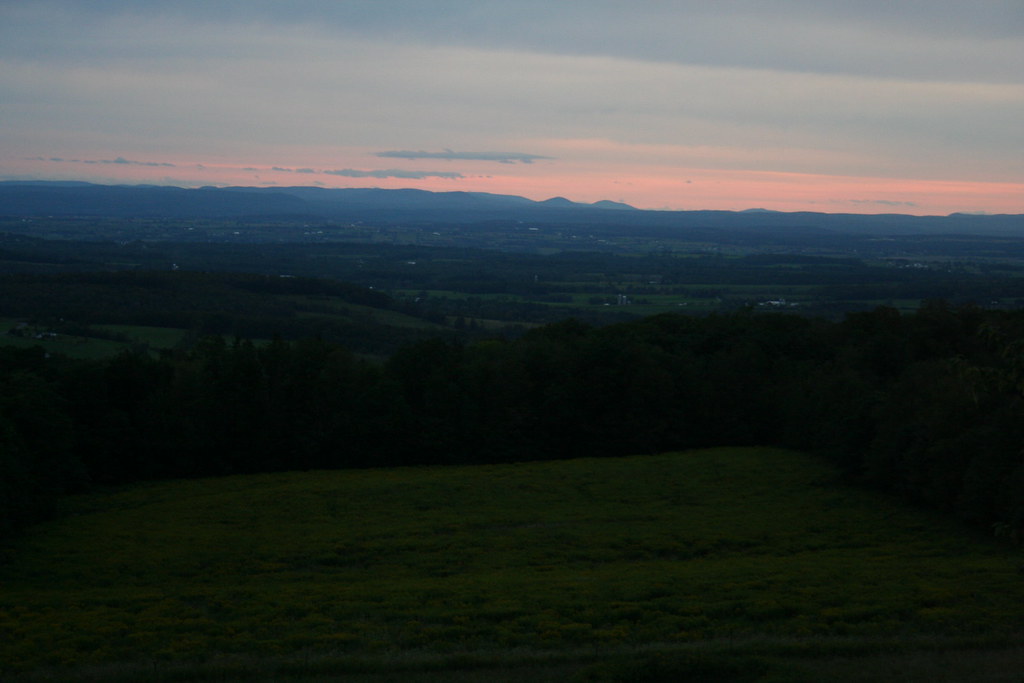
Red sky at night with views from Clausen Farm
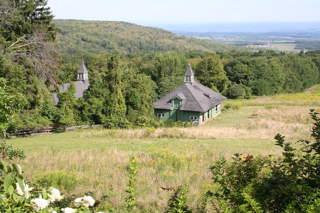
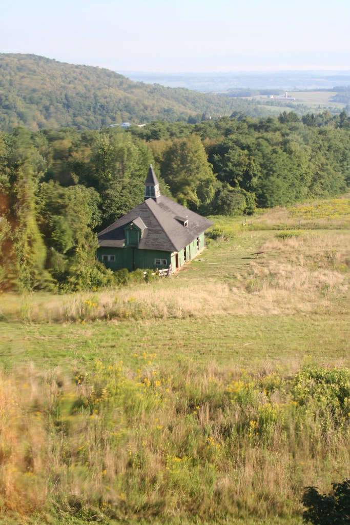
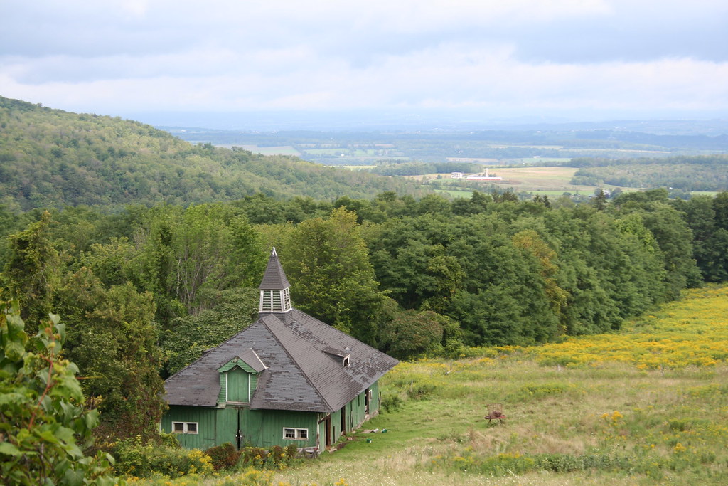
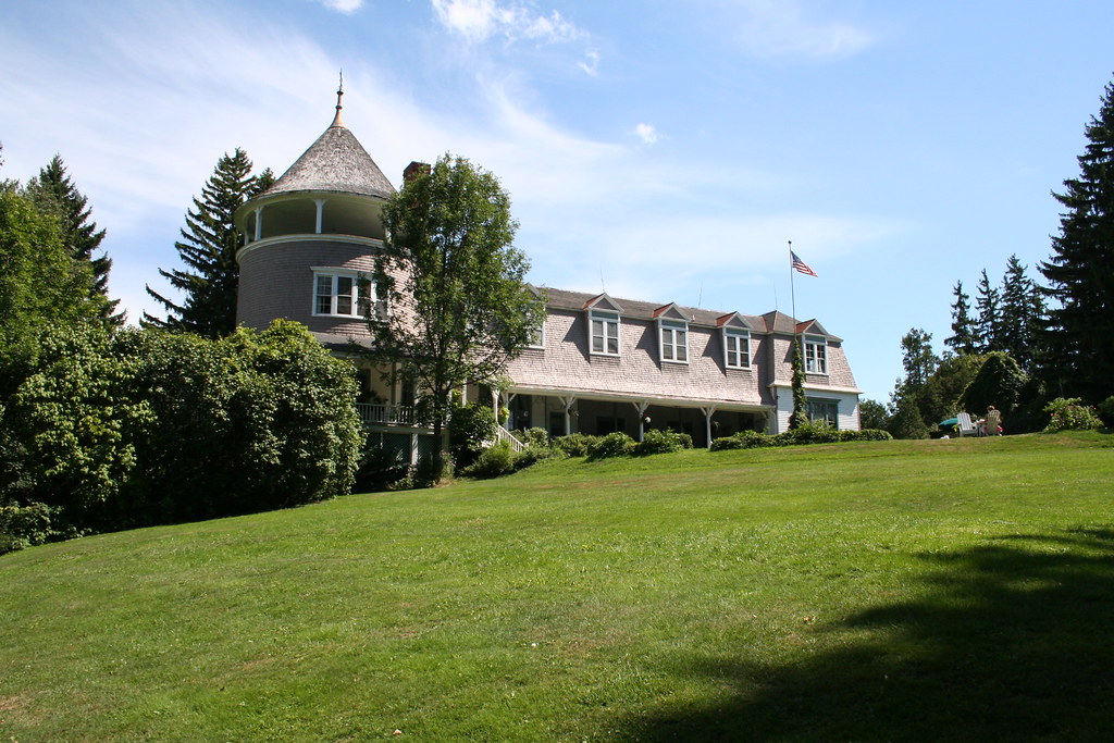
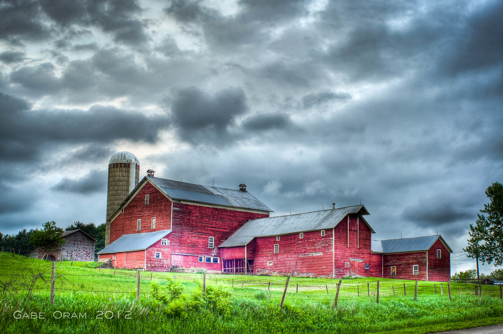
Victorian barns at Clausen Farm
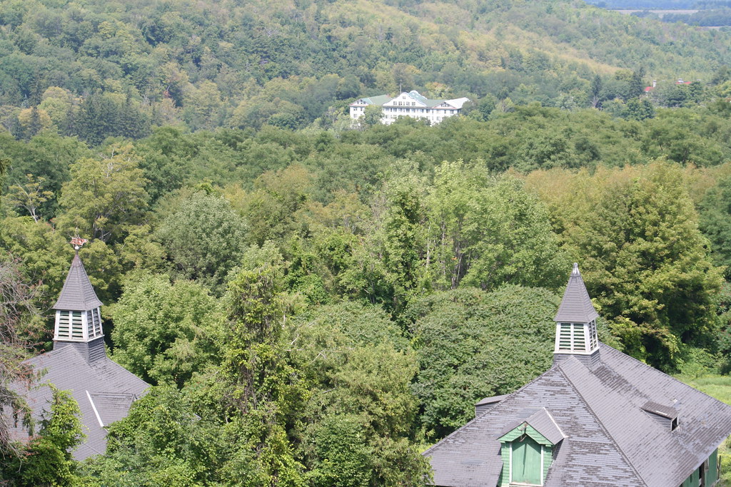
View of Adler Hotel from Clausen Farm
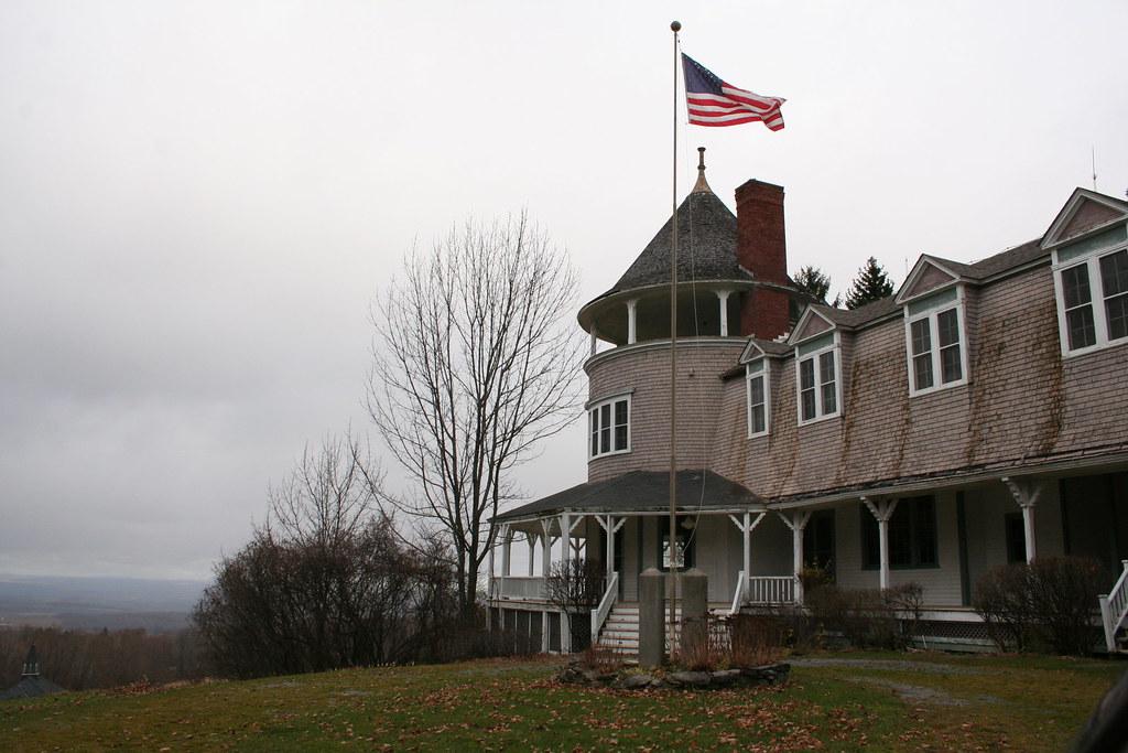
Old Glory waves above the Casino at Clausen Farm
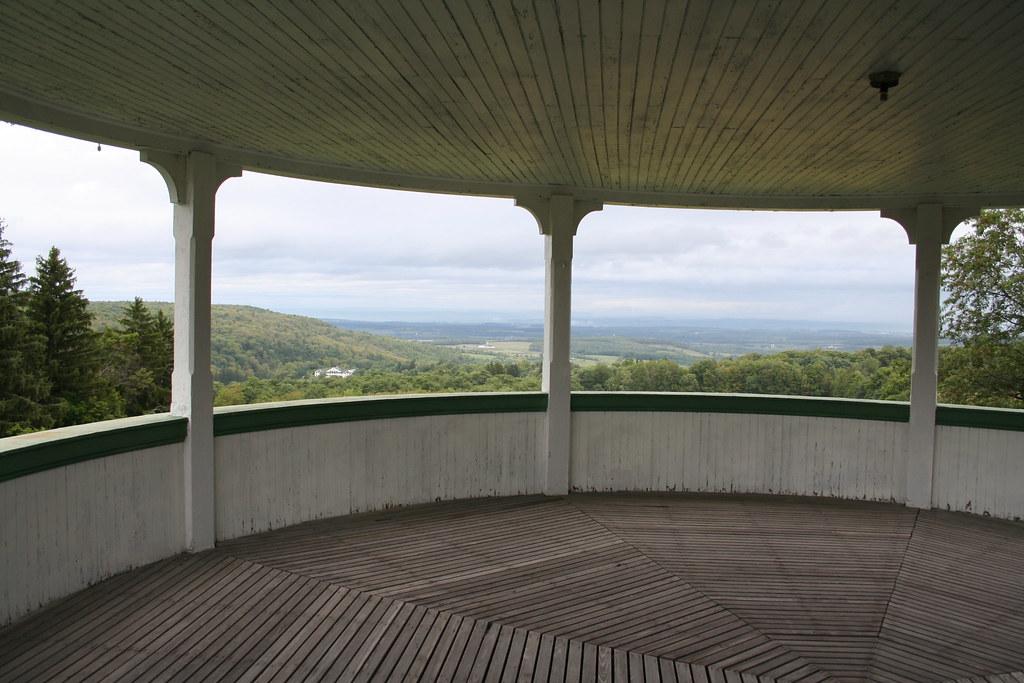
Views from Clausen's Casino 3rd fl
view down the Mohawk Valley
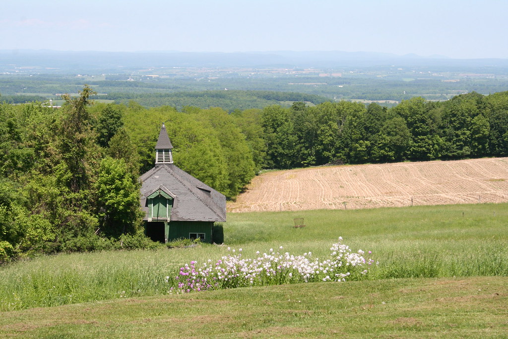
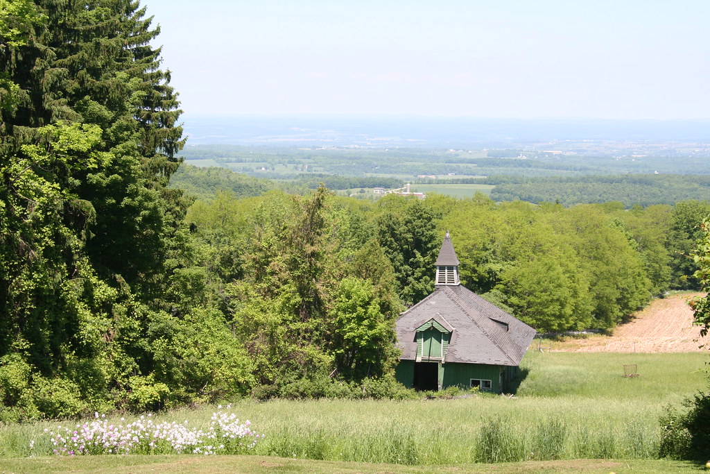
Lower meadow and Victorian barn (circa 1870)
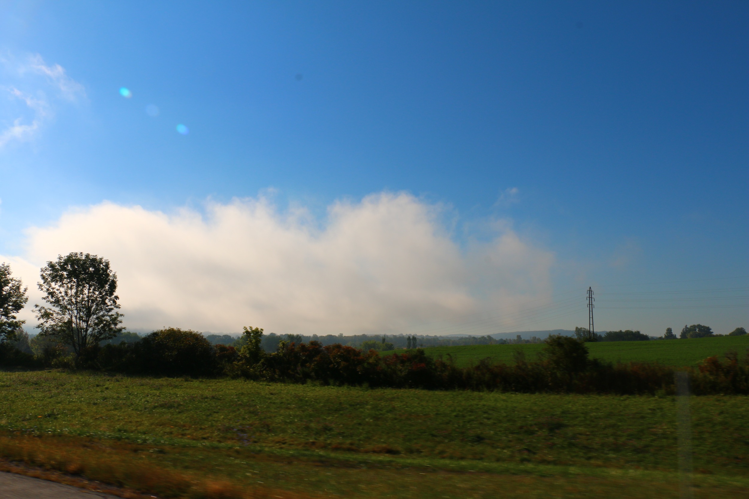
Valley views for dozens of miles
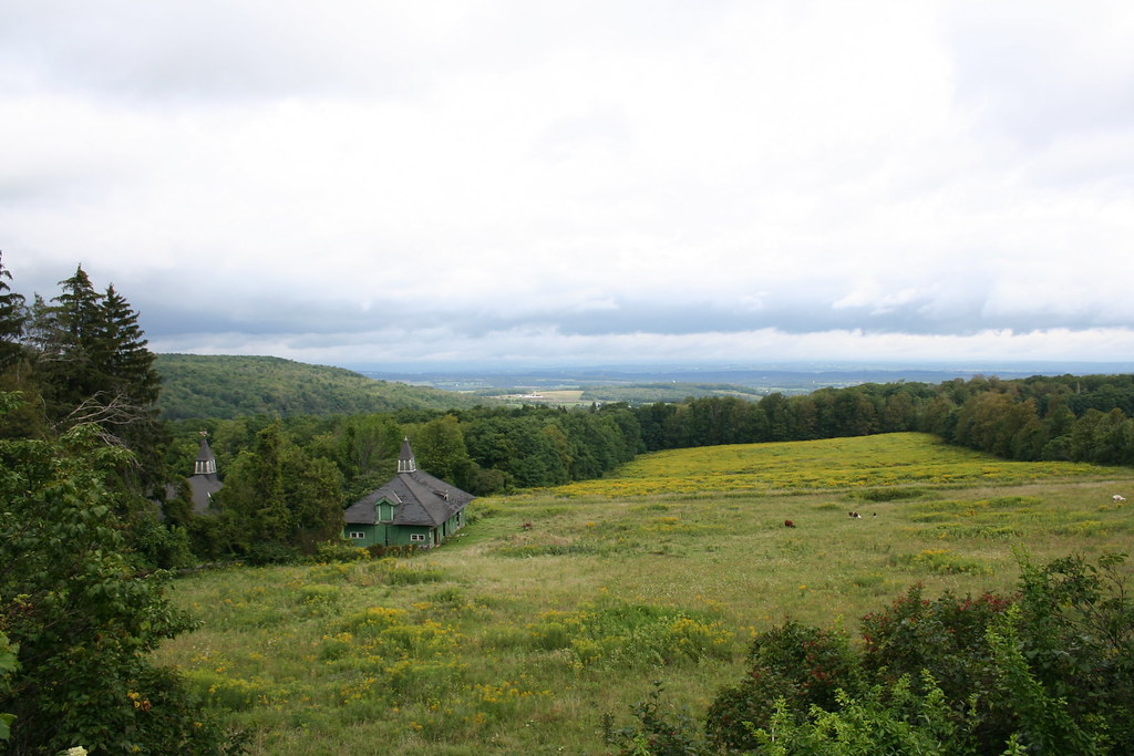
Wide view of the Valley afar as well as the lower meadow
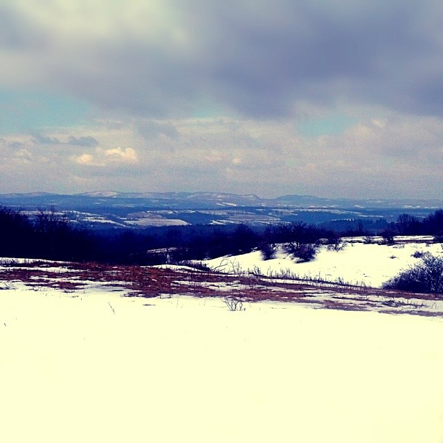
Purportedly a view of 90-miles on a clear day across the valley
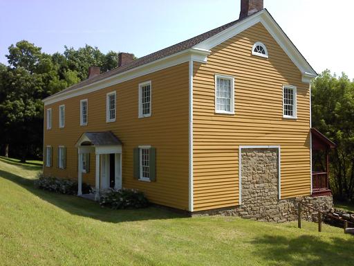
Nellis Tavern

Fort Klock

White Sulfur Temple

Hotel Adler

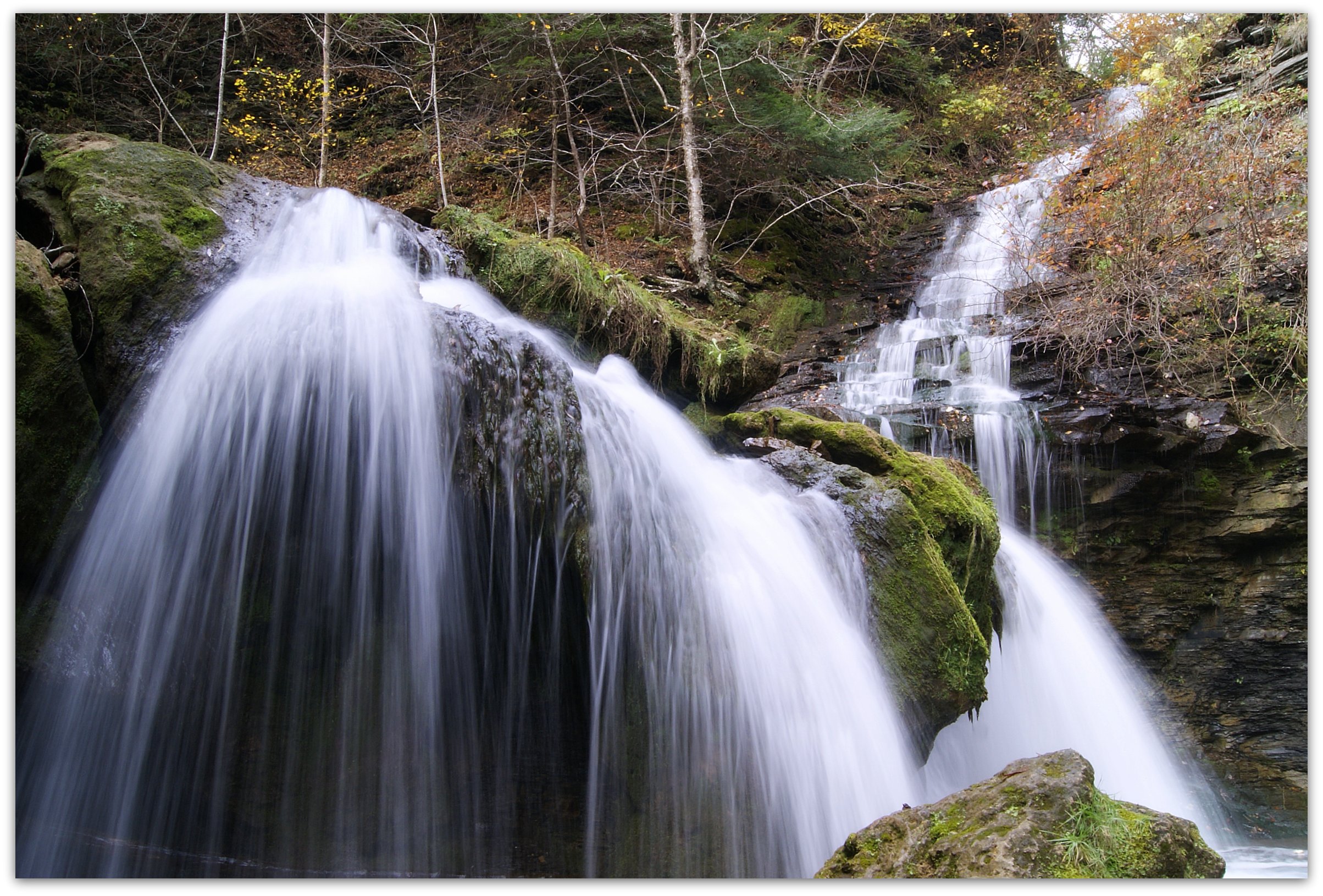
Yatesville Falls

Washington Hotel
My view for today

life is strange, life is good, life is all that it should be
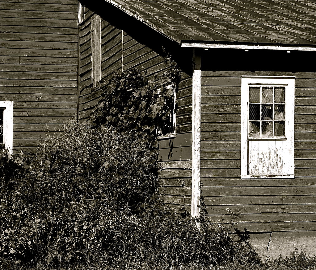
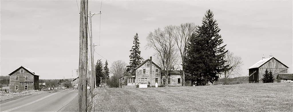
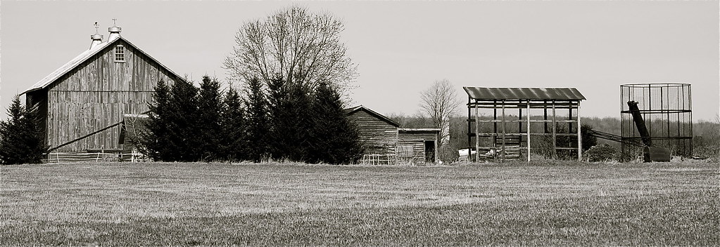
old barns
Casino at Clausen Farm
Valley views, Sharon Spings NY (Route 20)
Saw Mill Falls
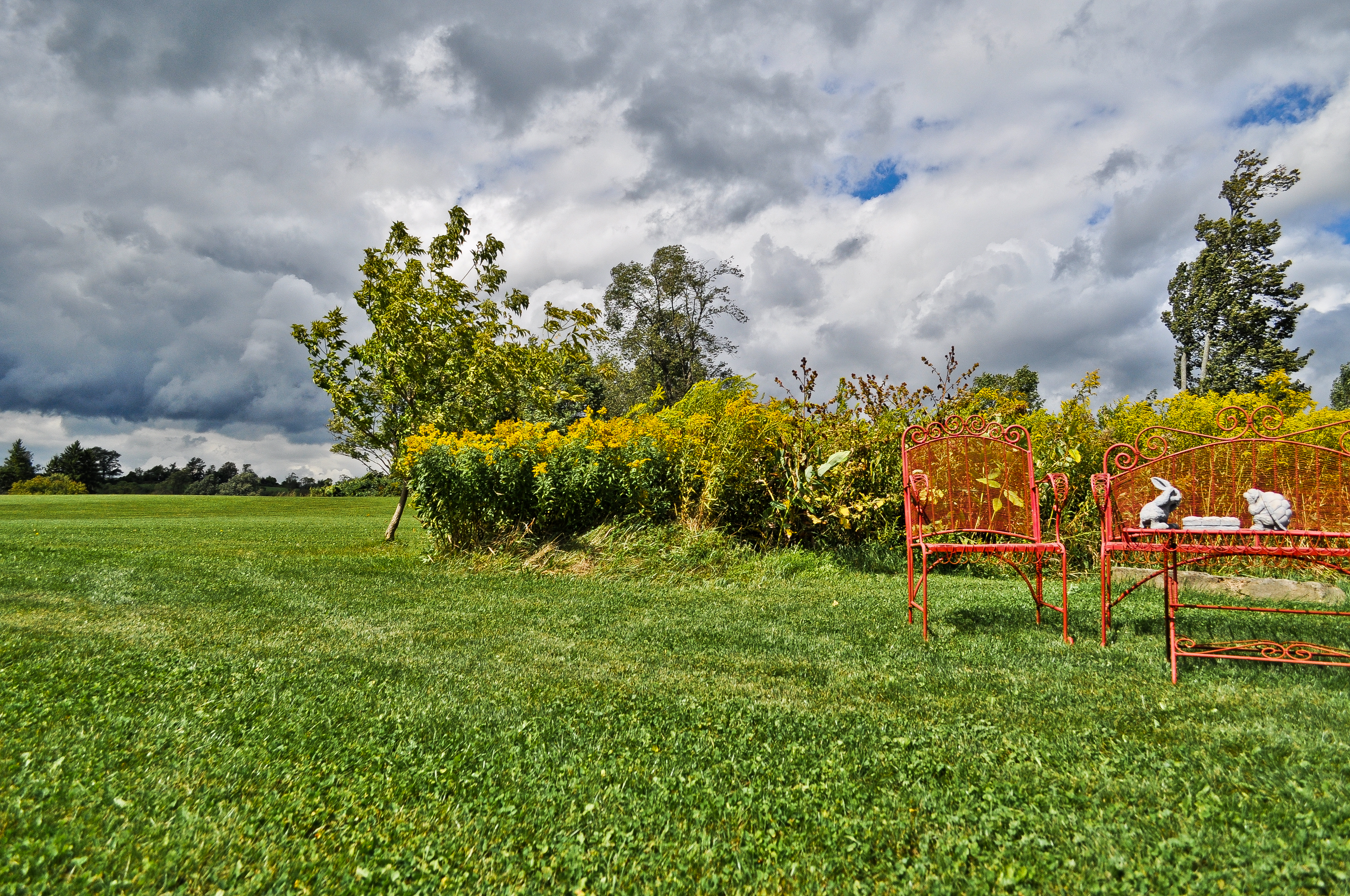
elements of the rural landscape
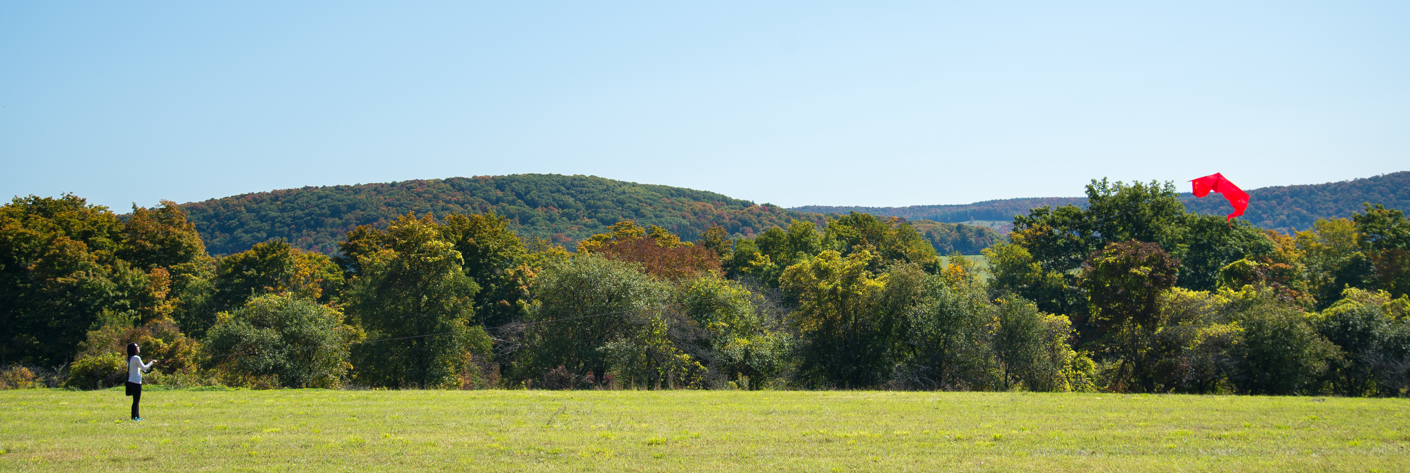
kite-1-36
rural landscape 2

Making hay while the sun is up at Clausen Farm

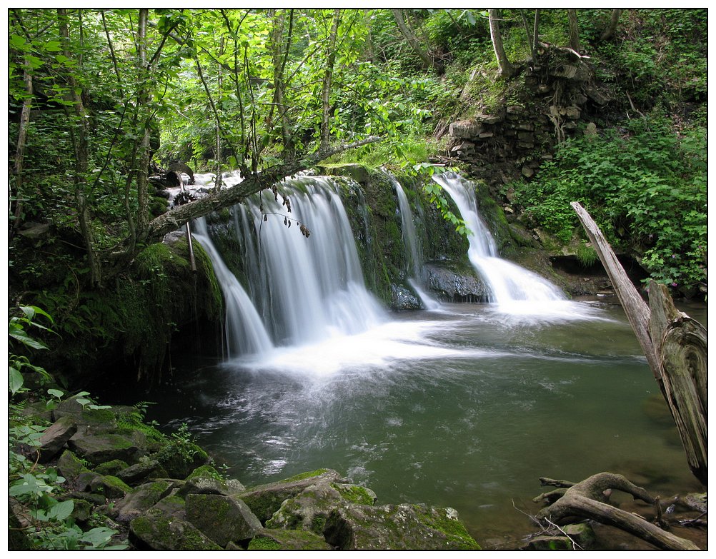
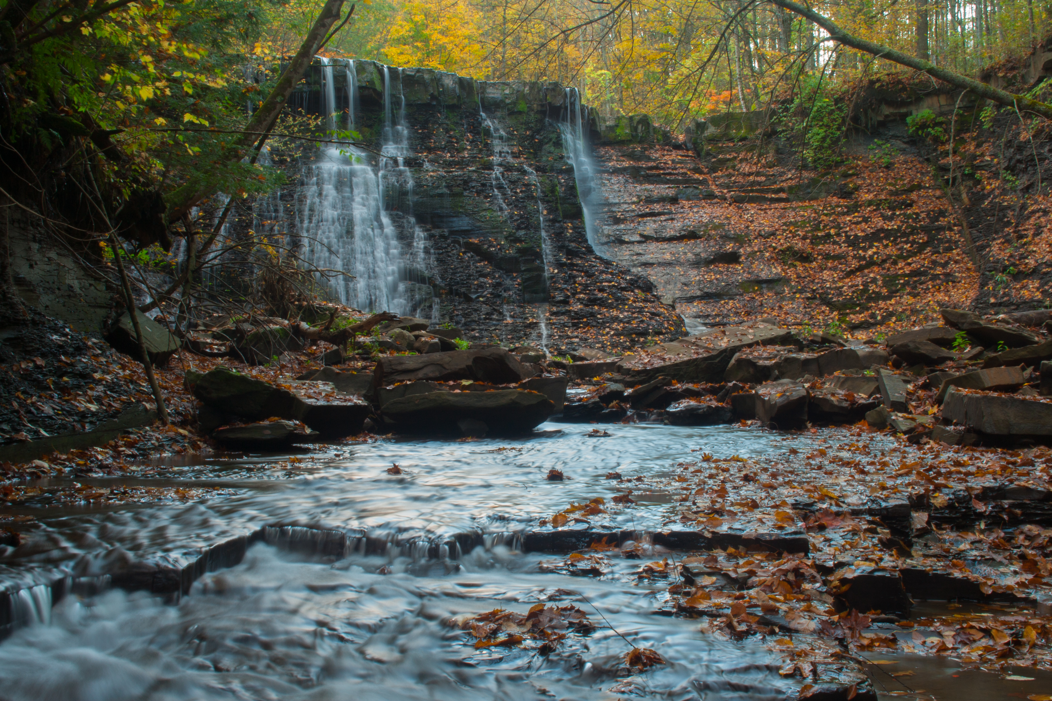
Creamery Falls
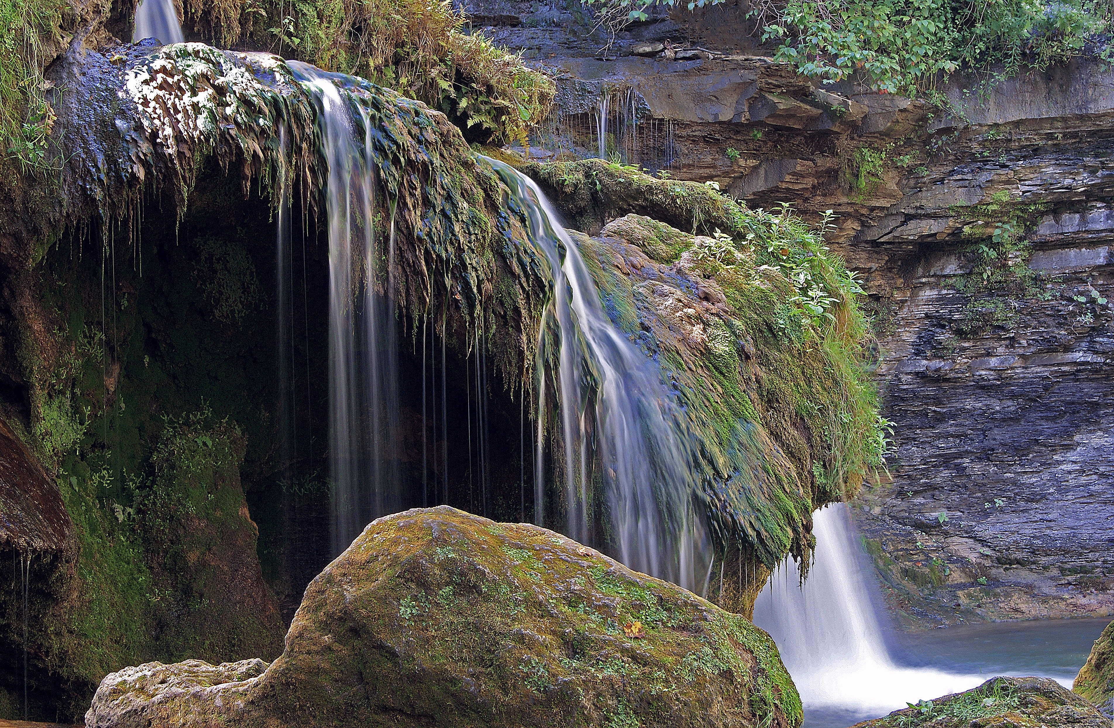
Creamery Falls

Creamery Falls
Yatesville Falls
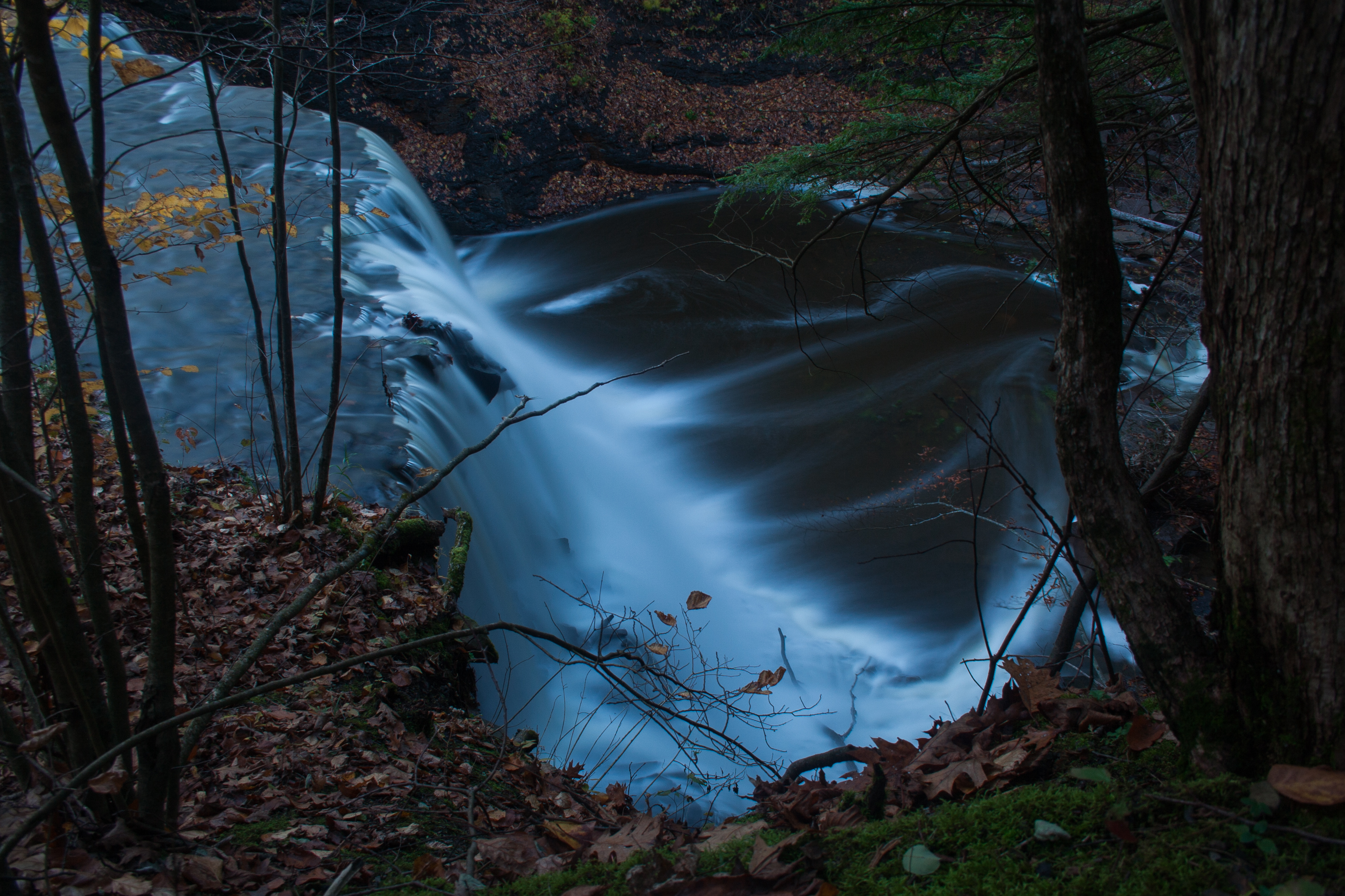
Over the Edge
Creamery Falls

On a Rock
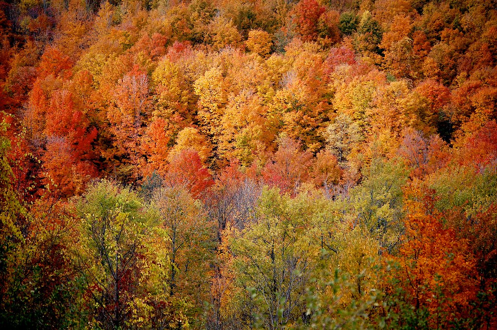
autumn color. . . . .
Unterwegs von Herkimer nach Bar Harbor
on the farm
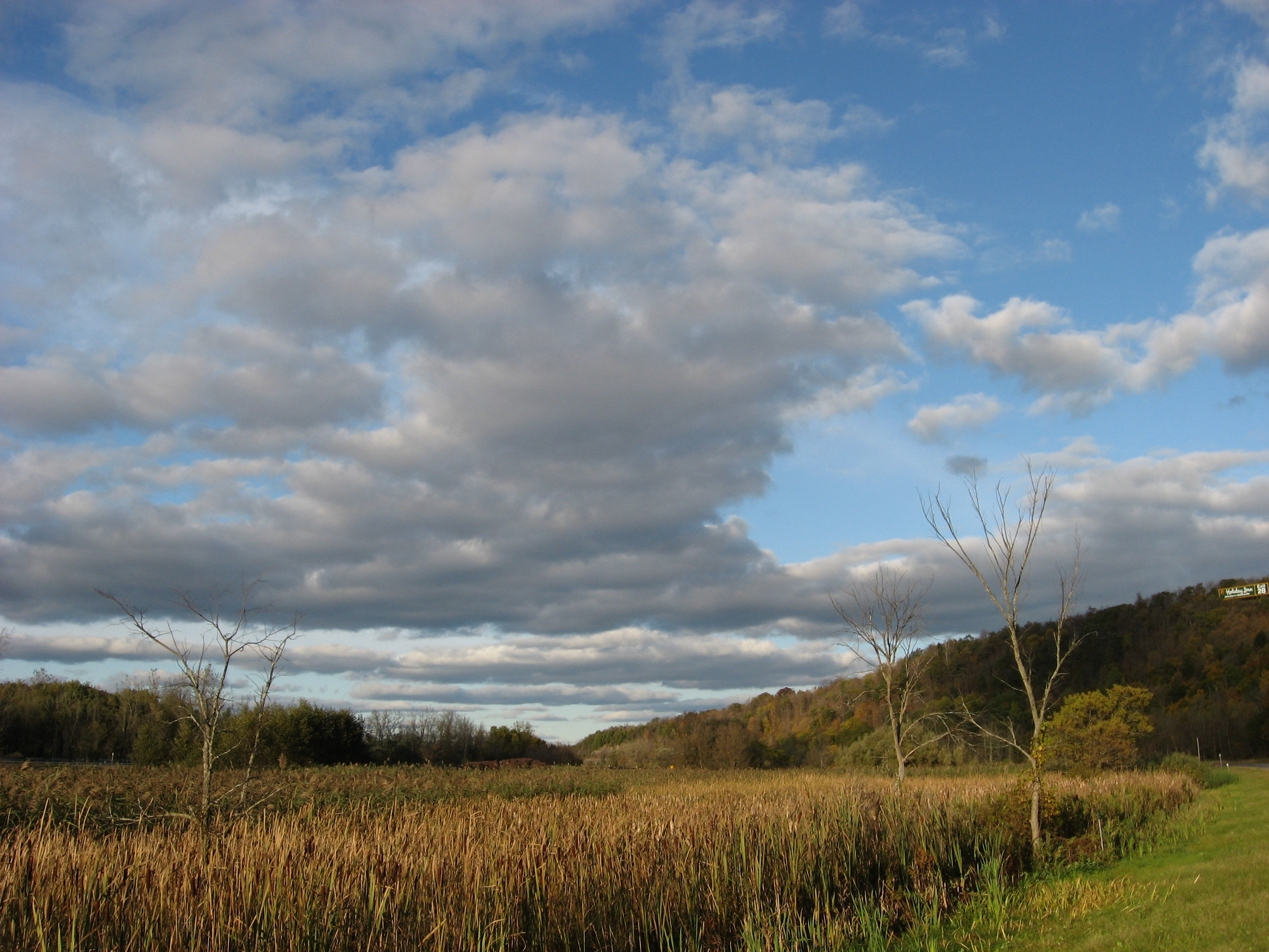
Big Sky in East Springfield NY
Topographic Map of Dygert Rd, Canajoharie, NY, USA
Find elevation by address:

Places near Dygert Rd, Canajoharie, NY, USA:
Canajoharie
431 Fredericks St
Buel Rd, Canajoharie, NY, USA
573 W Ames Rd
Ames
977 Ny-163
Herman Rd, Sharon Springs, NY, USA
Sharon Springs
949 Latimer Hill Rd
Mapletown Rd, Canajoharie, NY, USA
240 Conway Rd
131 Johnson St
Cherry Valley
US-20, Sharon Springs, NY, USA
509 Salt Springville Rd
Sharon
108 Pine Ridge Rd
1402 Co Rd 50
1402 Co Rd 50
1402 Co Rd 50
Recent Searches:
- Elevation of Elwyn Dr, Roanoke Rapids, NC, USA
- Elevation of Congressional Dr, Stevensville, MD, USA
- Elevation of Bellview Rd, McLean, VA, USA
- Elevation of Stage Island Rd, Chatham, MA, USA
- Elevation of Shibuya Scramble Crossing, 21 Udagawacho, Shibuya City, Tokyo -, Japan
- Elevation of Jadagoniai, Kaunas District Municipality, Lithuania
- Elevation of Pagonija rock, Kranto 7-oji g. 8"N, Kaunas, Lithuania
- Elevation of Co Rd 87, Jamestown, CO, USA
- Elevation of Tenjo, Cundinamarca, Colombia
- Elevation of Côte-des-Neiges, Montreal, QC H4A 3J6, Canada