Elevation of Dyer Road, Dyer Rd, Sharon, VT, USA
Location: United States > Vermont > Windsor County > Sharon >
Longitude: -72.418897
Latitude: 43.7980672
Elevation: 367m / 1204feet
Barometric Pressure: 97KPa
Elevation Map:
Satellite Map:
Related Photos:

Sugarbush Farm

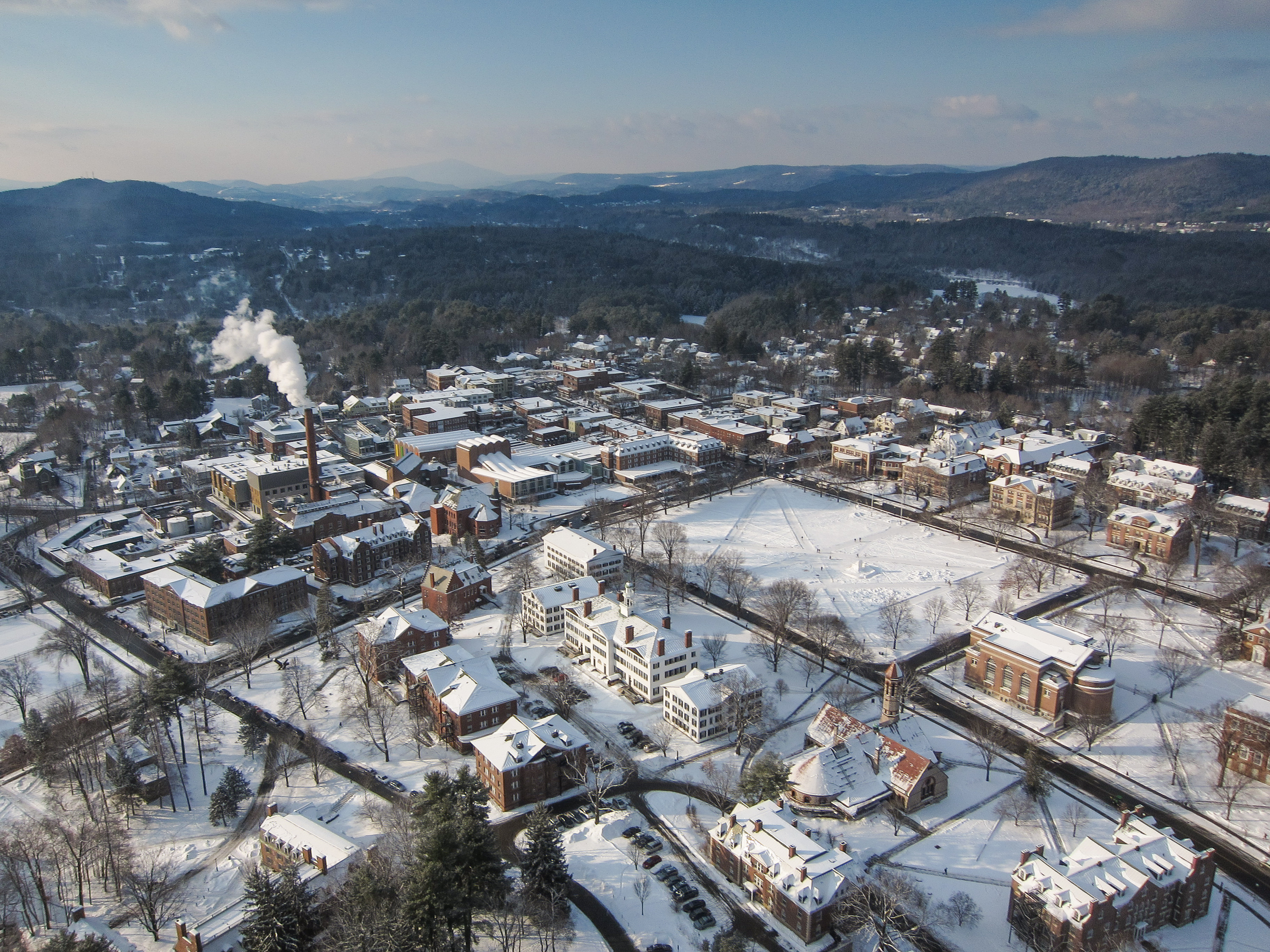
Views From the Green

Views From the Green

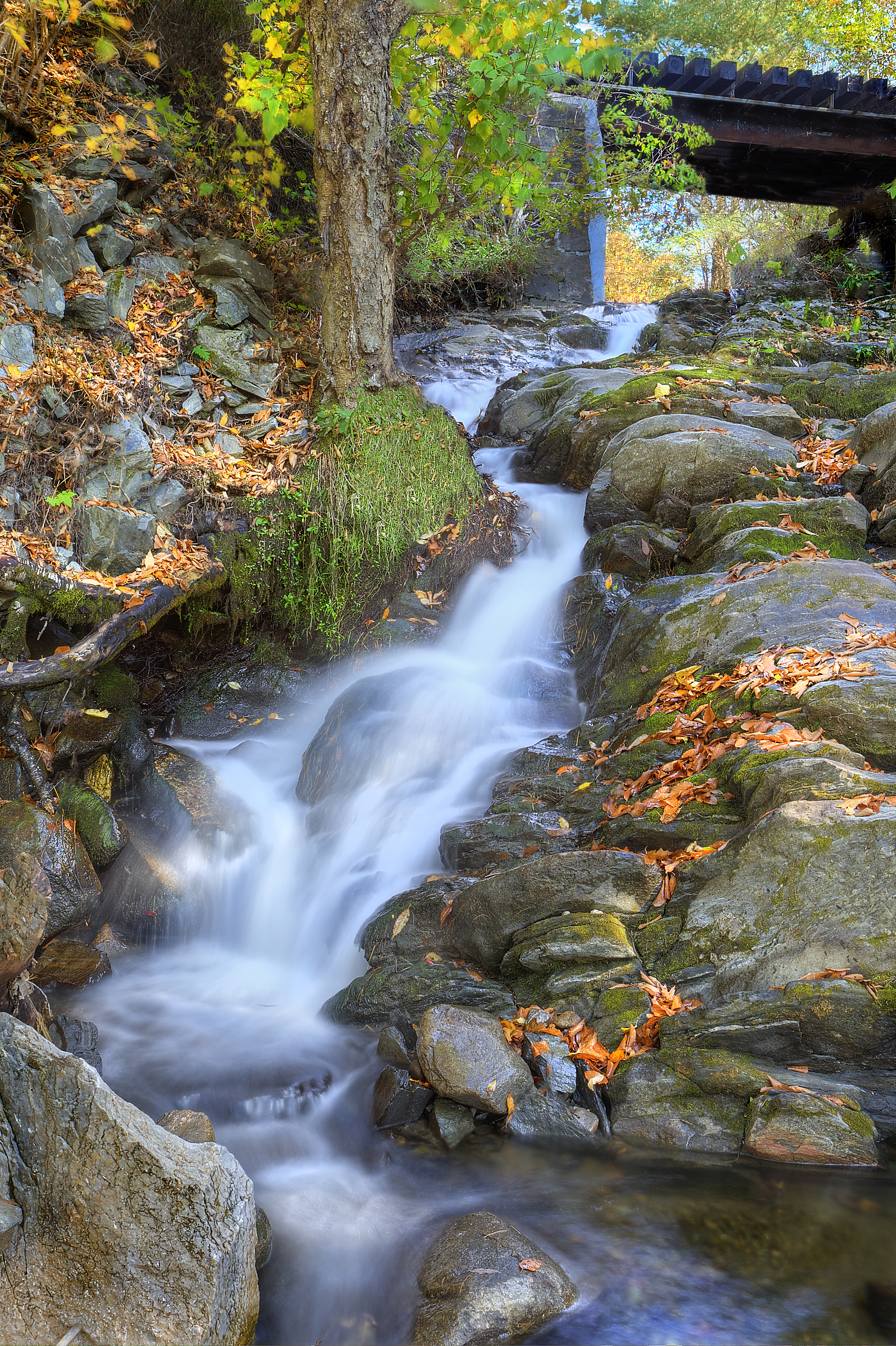
Old City Falls Vermont
Views From the Green

winter light, winter ice

Views From the Green

Views From the Green
Views From the Green, Winter Favorites

Views From the Green
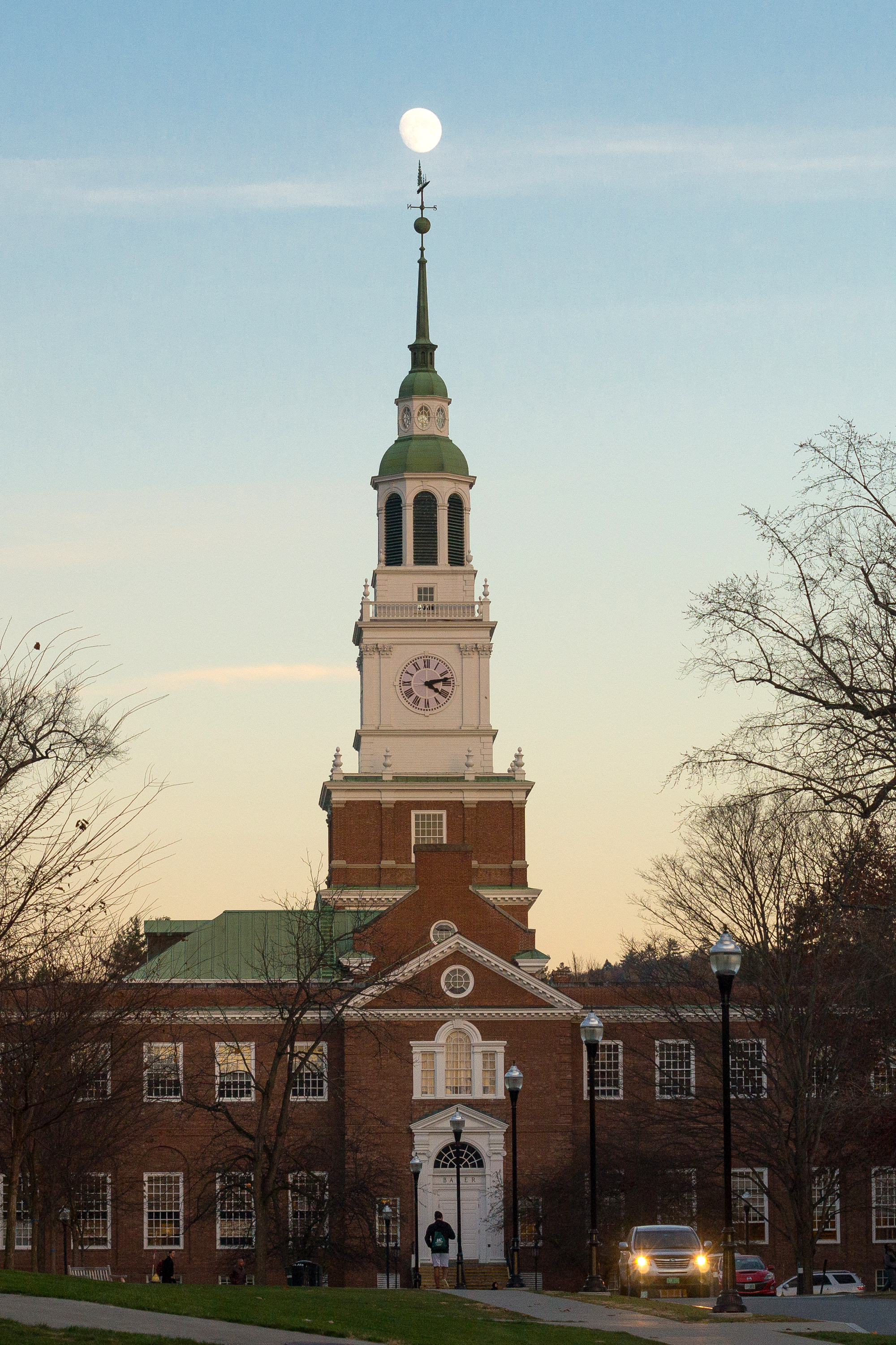
Moon Rising Over Baker Tower

Views From the Green

Views From the Green

Dartmouth on Instagram

Views From the Green
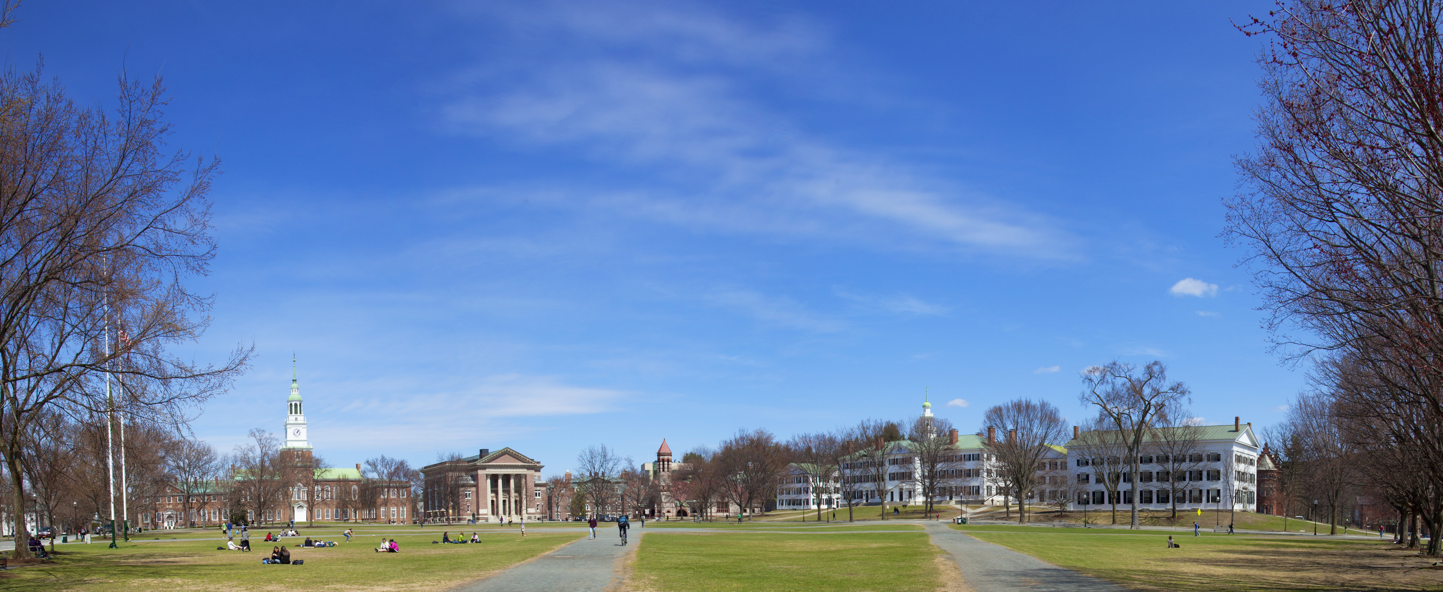
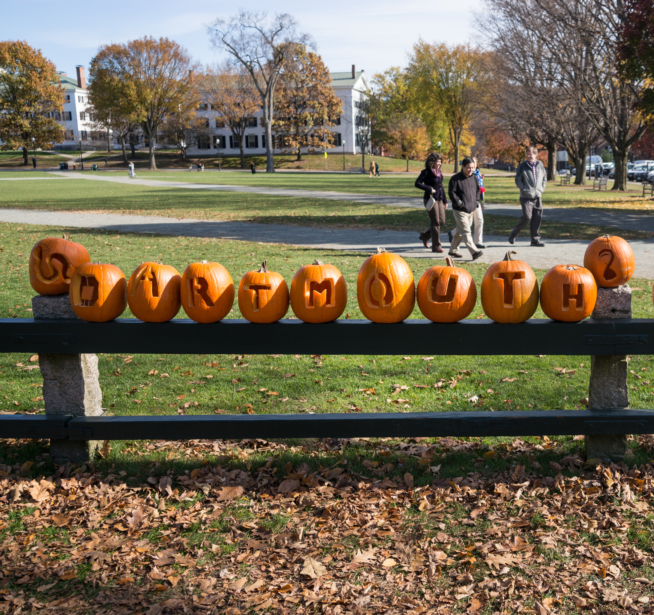
A view across the Green on April 22, 2011
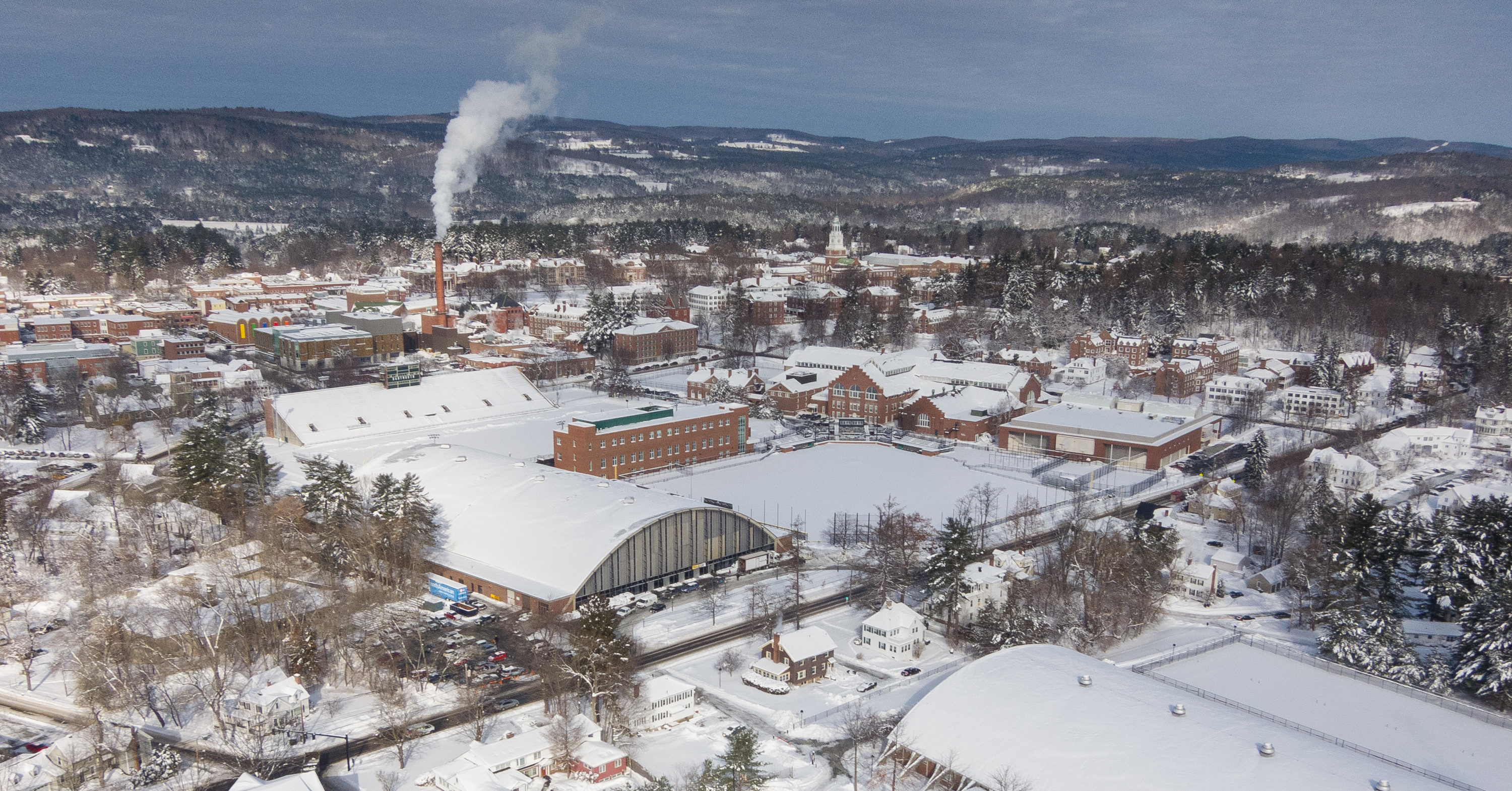
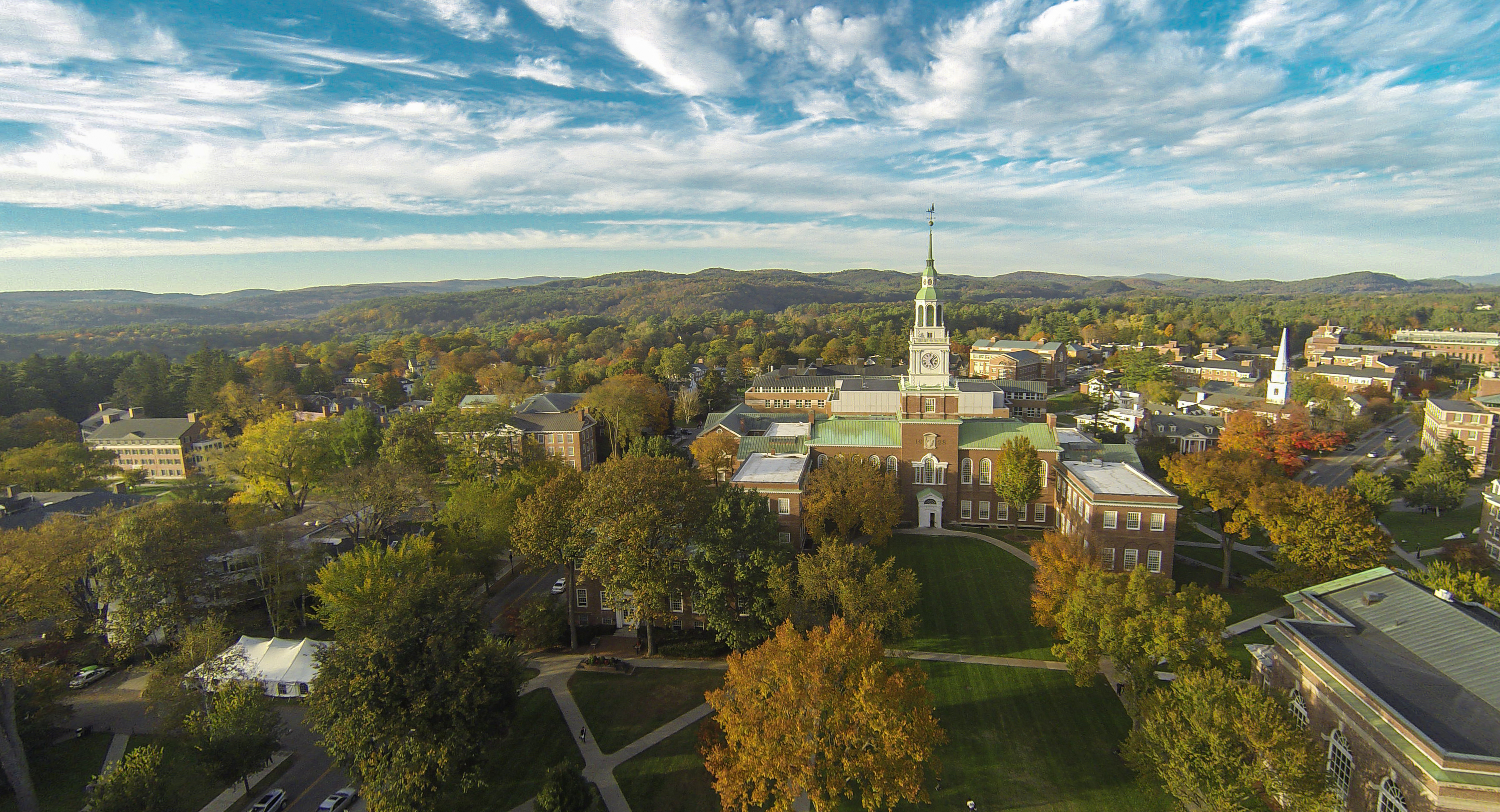
Aerial View of Dartmouth

Views From the Green
Views From the Green

Views From the Green

Views From the Green
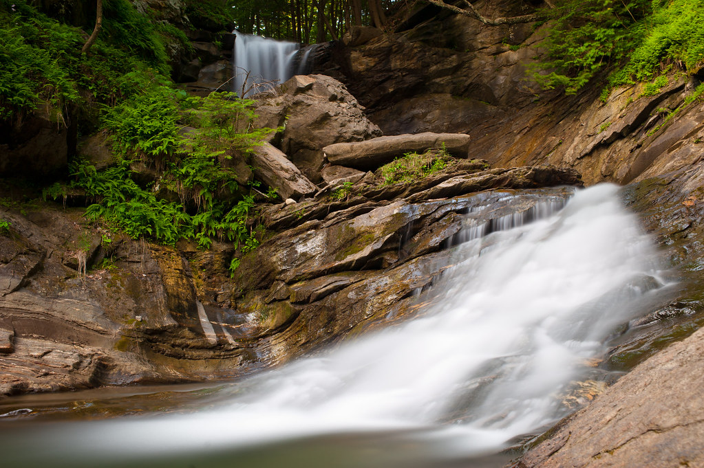
Jericho Brook Falls, Hartford, VT.

HIP_313783584.287002

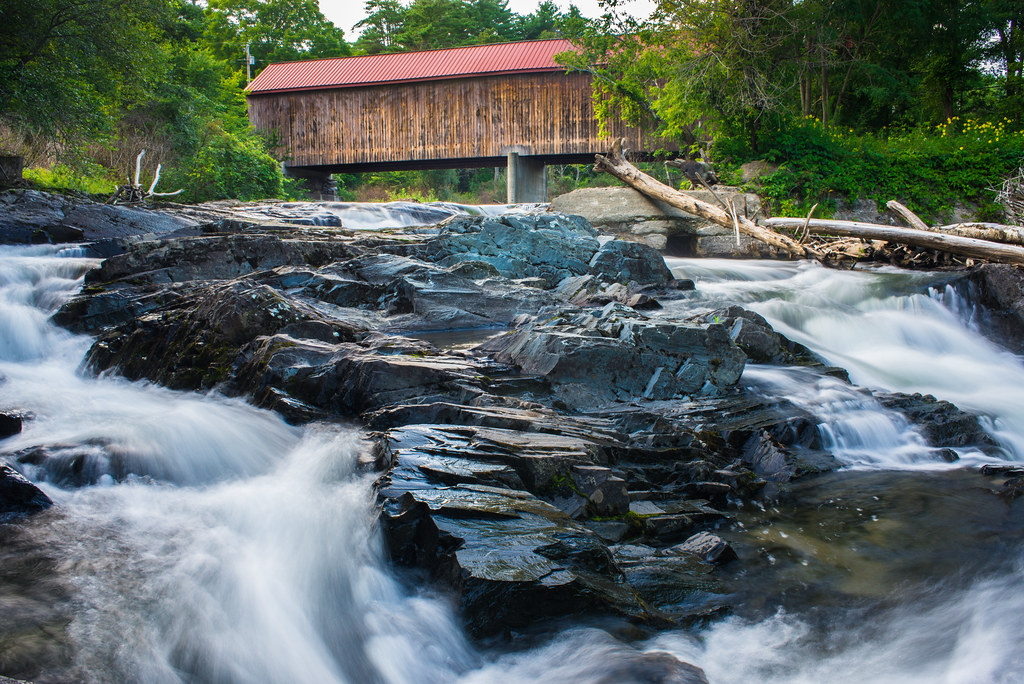
Old City Falls - Vermont

HIP_313783455.255393

HIP_313783651.644859

The Falls at Sayers Covered Bridge in Thetford, Vermont

Crossing Boundaries
Old City Falls (VT)

0E3A8258.jpg

Old City Falls - Vermont

Good 'Moo'rning
Sayers Bridge in Thetford, Vermont

Dartmouth on Instagram

Spring in North Park
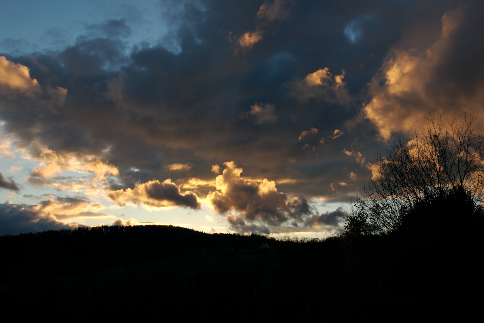
Sunset 9
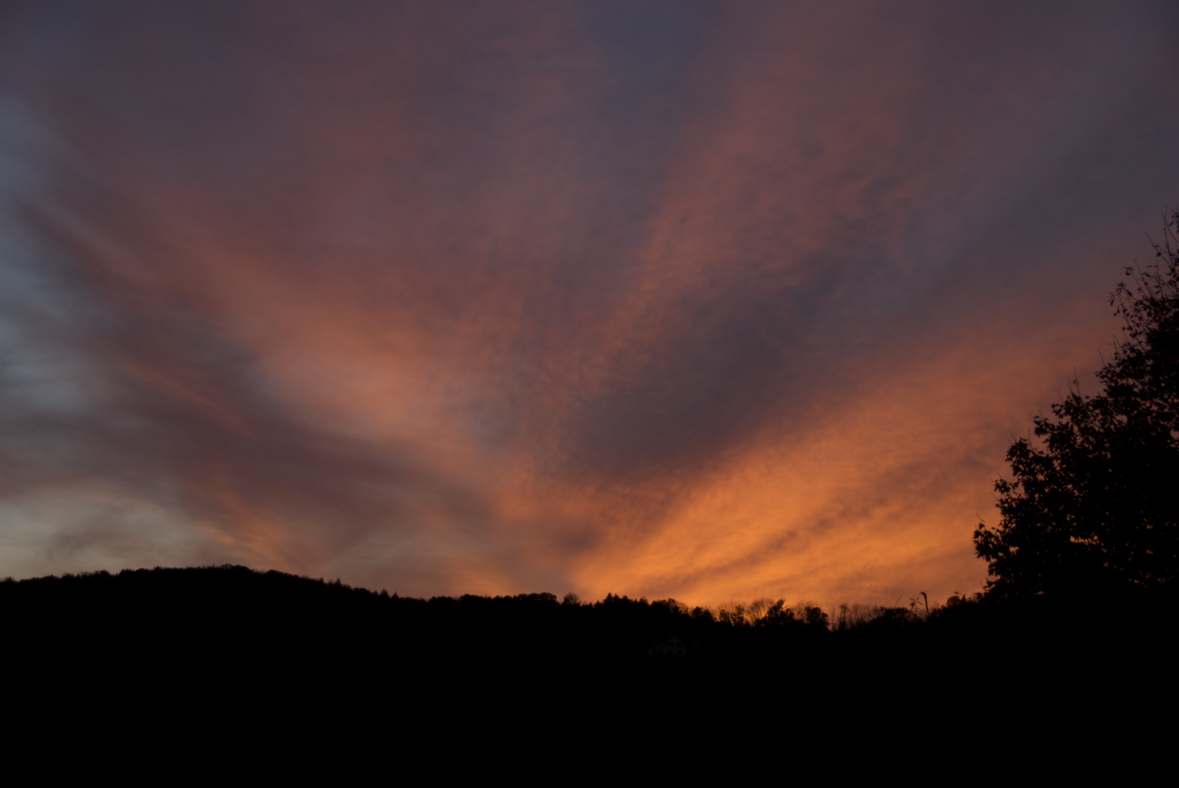
Sunset 15

Hay Field
Topographic Map of Dyer Road, Dyer Rd, Sharon, VT, USA
Find elevation by address:

Places near Dyer Road, Dyer Rd, Sharon, VT, USA:
355 Dyer Rd
Drum Heller Road
1850 Downer Rd
27 Star Mountain Rd
Rock Bottom Road
South Strafford
18 Justin Morrill Memorial Hwy
Strafford
74 Old City Falls Branch, Strafford, VT, USA
149 Old City Falls Branch
VT-, Thetford Center, VT, USA
1359 New Boston Rd
1226 New Boston Rd
102 Brocklebank Rd
1024 New Boston Rd
223 Miller Pond Rd
189 Jackson Brook Rd
51 Gove Hill Rd
552 Pero Hill Rd
1123 Poor Farm Rd S
Recent Searches:
- Elevation of Gateway Blvd SE, Canton, OH, USA
- Elevation of East W.T. Harris Boulevard, E W.T. Harris Blvd, Charlotte, NC, USA
- Elevation of West Sugar Creek, Charlotte, NC, USA
- Elevation of Wayland, NY, USA
- Elevation of Steadfast Ct, Daphne, AL, USA
- Elevation of Lagasgasan, X+CQH, Tiaong, Quezon, Philippines
- Elevation of Rojo Ct, Atascadero, CA, USA
- Elevation of Flagstaff Drive, Flagstaff Dr, North Carolina, USA
- Elevation of Avery Ln, Lakeland, FL, USA
- Elevation of Woolwine, VA, USA