Elevation of Dvůr Králové nad Labem, Czechia
Location: Czech Republic > Hradec Králové Region > Trutnov District >
Longitude: 15.8140269
Latitude: 50.4317202
Elevation: 297m / 974feet
Barometric Pressure: 98KPa
Elevation Map:
Satellite Map:
Related Photos:

Les Království dam
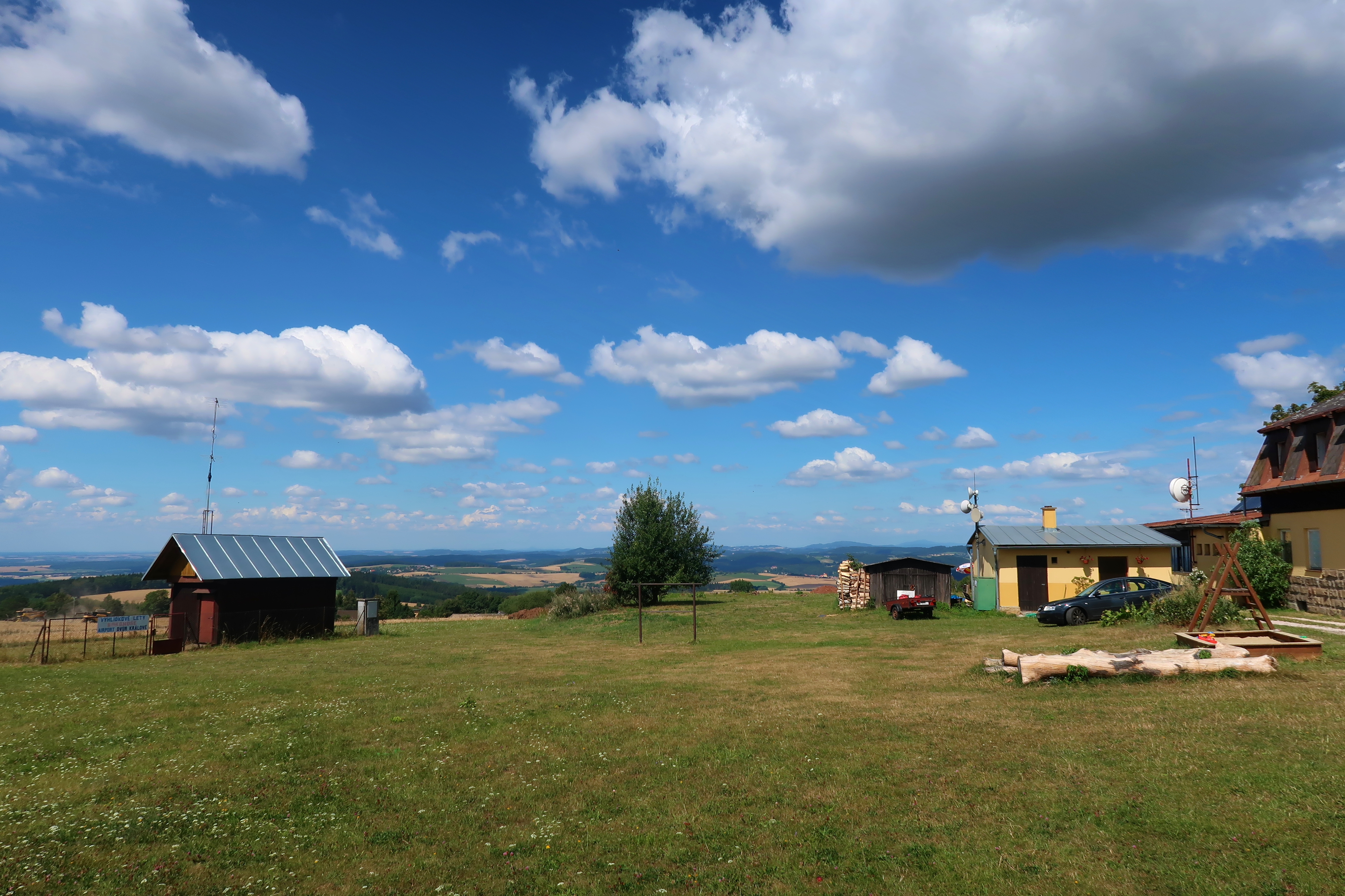
View from Zvičina Hill (671m)
Barunka's Lookout (Hoř)
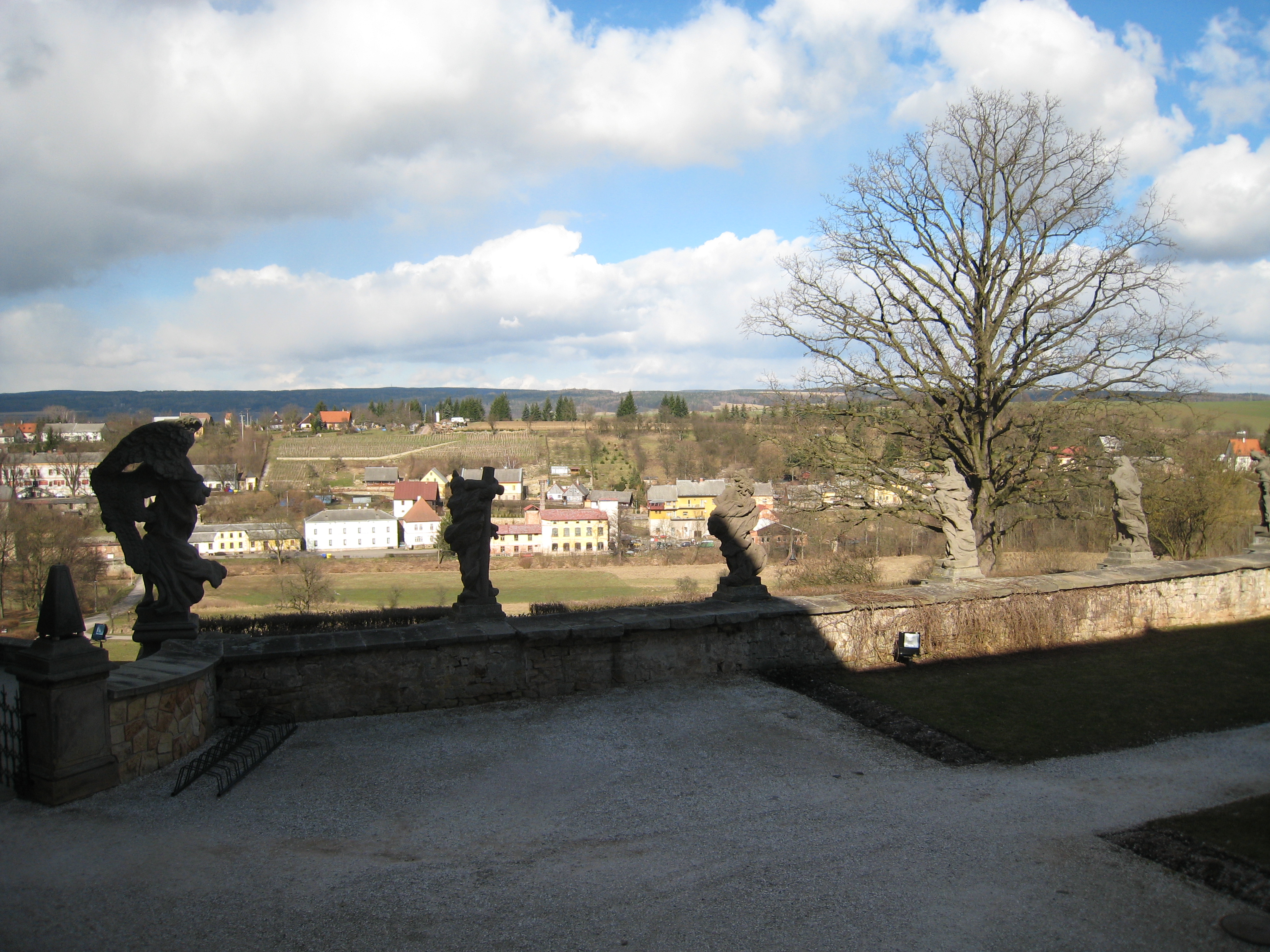
view of Kuks from the hospital
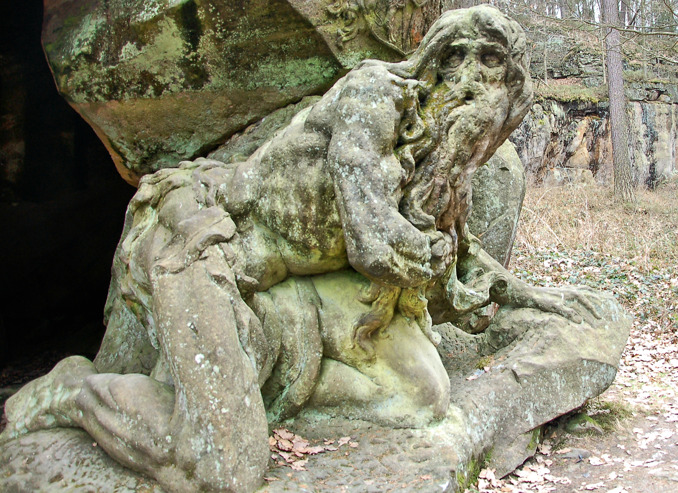
Matthias Bernard Braun: Hermit - DSC_7915p

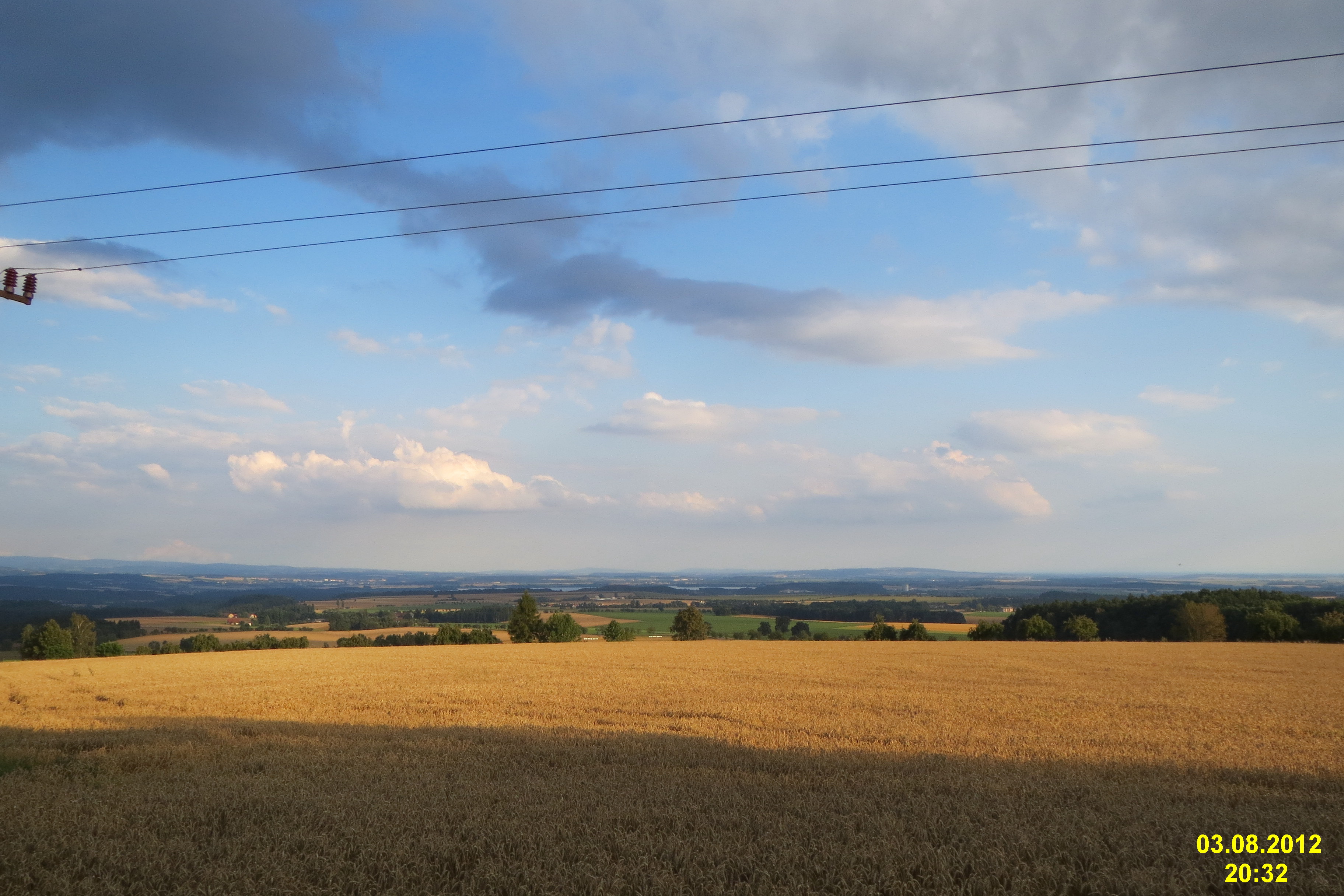
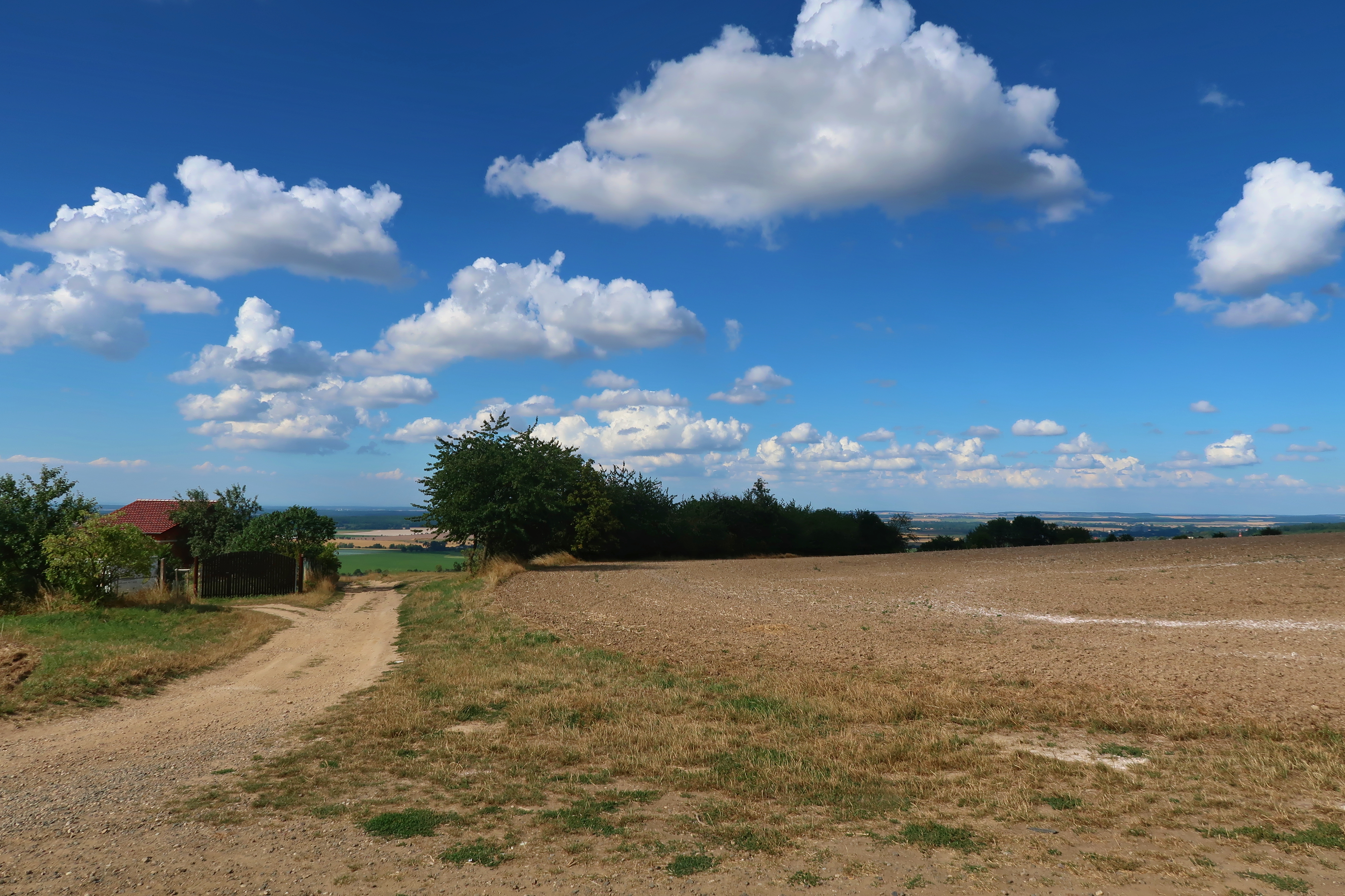
Rural Landscape
Landscape near the town of Hořice
Fucking weather

ZOO-120909-668

ZOO-120909-629

ZOO-120909-630

ZOO-120909-630

ZOO-120909-707

ZOO-120909-651

ZOO-120909-588

ZOO-120909-588

ZOO-120909-651

130907-348

ZOO-120909-652

ZOO-120909-631

ZOO-120909-618

ZOO-120909-631

130907-365
Topographic Map of Dvůr Králové nad Labem, Czechia
Find elevation by address:

Places near Dvůr Králové nad Labem, Czechia:
Royal Forest Dam
Kašov
Kašov 17, 01 Kuks, Czech Republic
Kuks
Hradec Králové Region
Třebihošť
Třebihošť, 01 Třebihošť, Czech Republic
Mostek
Trutnov District
Jaromer
Mostek 21, 75 Mostek, Czech Republic
Brzice
Rasošky 93, 21 Rasošky, Czech Republic
Rasošky
Proruby 5, 05 Brzice, Czech Republic
Proruby
Borek
Trutnov
Skalice 66, 03 Skalice, Czech Republic
Skalice
Recent Searches:
- Elevation of Woodland Oak Pl, Thousand Oaks, CA, USA
- Elevation of Brownsdale Rd, Renfrew, PA, USA
- Elevation of Corcoran Ln, Suffolk, VA, USA
- Elevation of Mamala II, Sariaya, Quezon, Philippines
- Elevation of Sarangdanda, Nepal
- Elevation of 7 Waterfall Way, Tomball, TX, USA
- Elevation of SW 57th Ave, Portland, OR, USA
- Elevation of Crocker Dr, Vacaville, CA, USA
- Elevation of Pu Ngaol Community Meeting Hall, HWHM+3X7, Krong Saen Monourom, Cambodia
- Elevation of Royal Ontario Museum, Queens Park, Toronto, ON M5S 2C6, Canada