Elevation of Duryea St, Raymond, WA, USA
Location: United States > Washington > Pacific County > Raymond >
Longitude: -123.72364
Latitude: 46.686912
Elevation: 12m / 39feet
Barometric Pressure: 101KPa
Elevation Map:
Satellite Map:
Related Photos:
19277.jpg
17011.jpg
16951.jpg
19188.jpg
16904.jpg

19320.jpg
16938.jpg
16751.jpg
16954.jpg
19209.jpg
16907.jpg
16988.jpg
16945.jpg
16818.jpg
17008.jpg
16950.jpg
16793.jpg
16909.jpg
19323.jpg
17019.jpg
16821.jpg
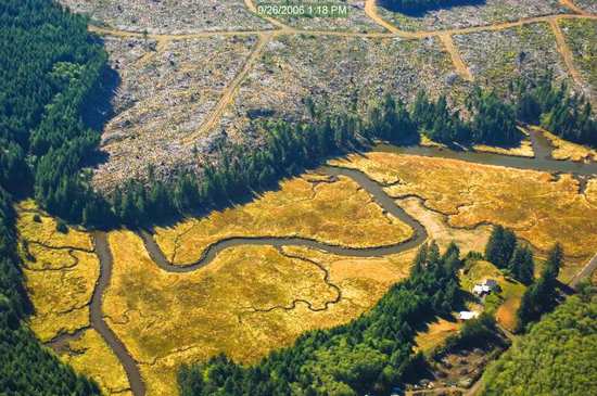
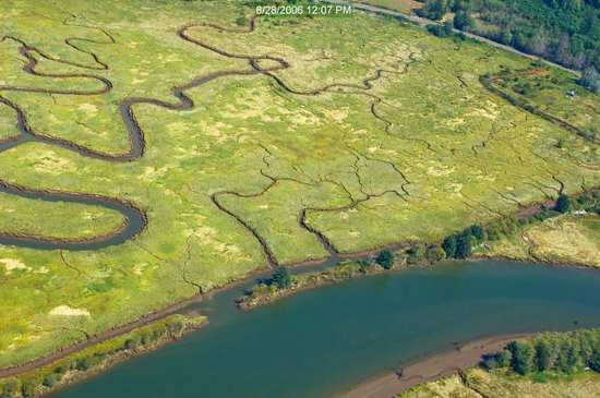
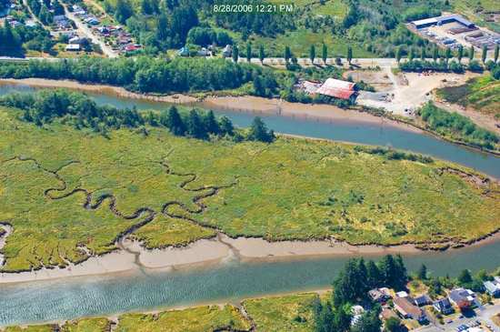
Willapa River Landscape
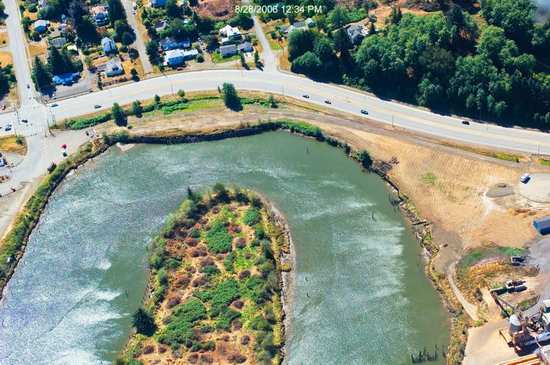
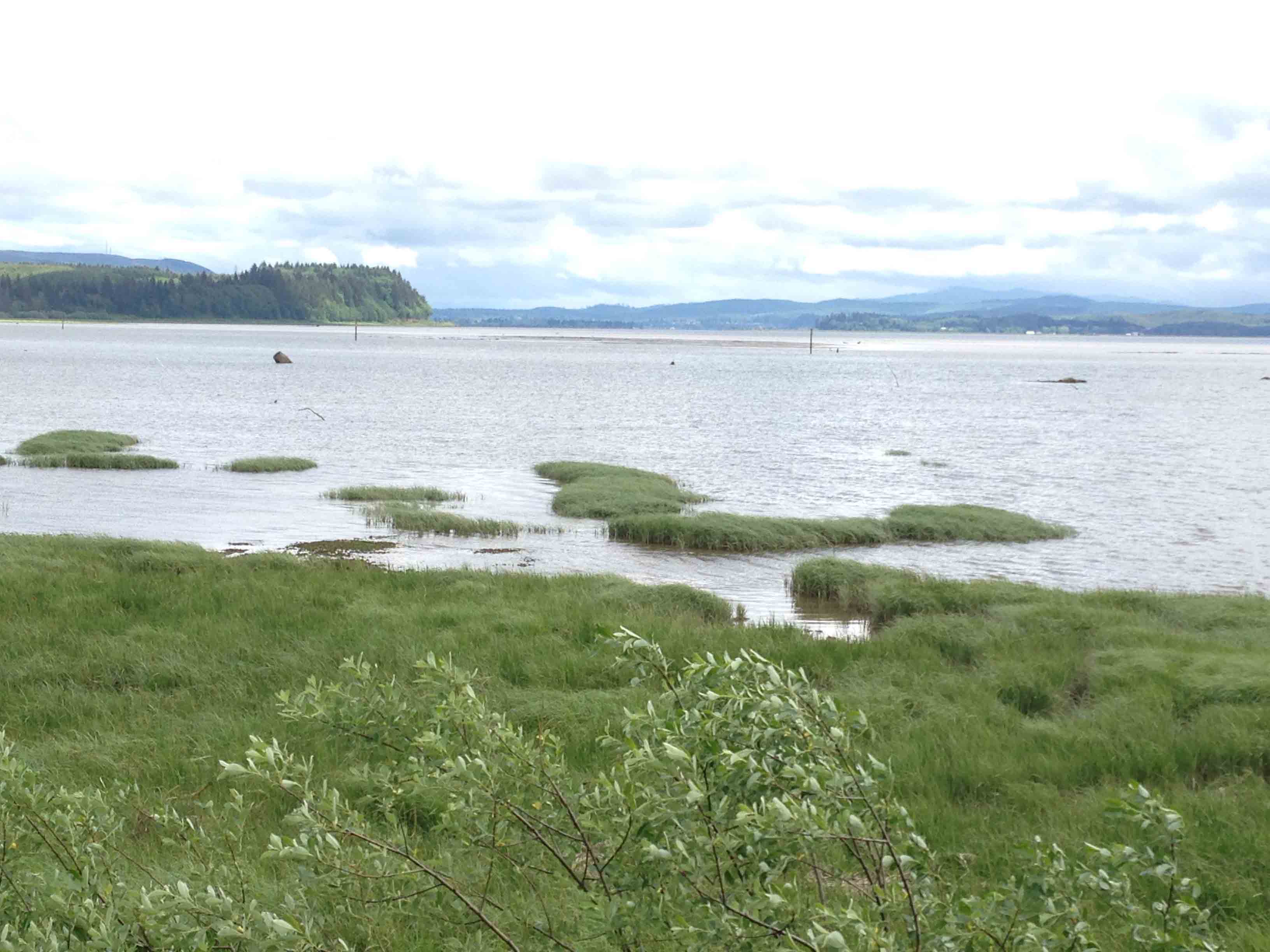
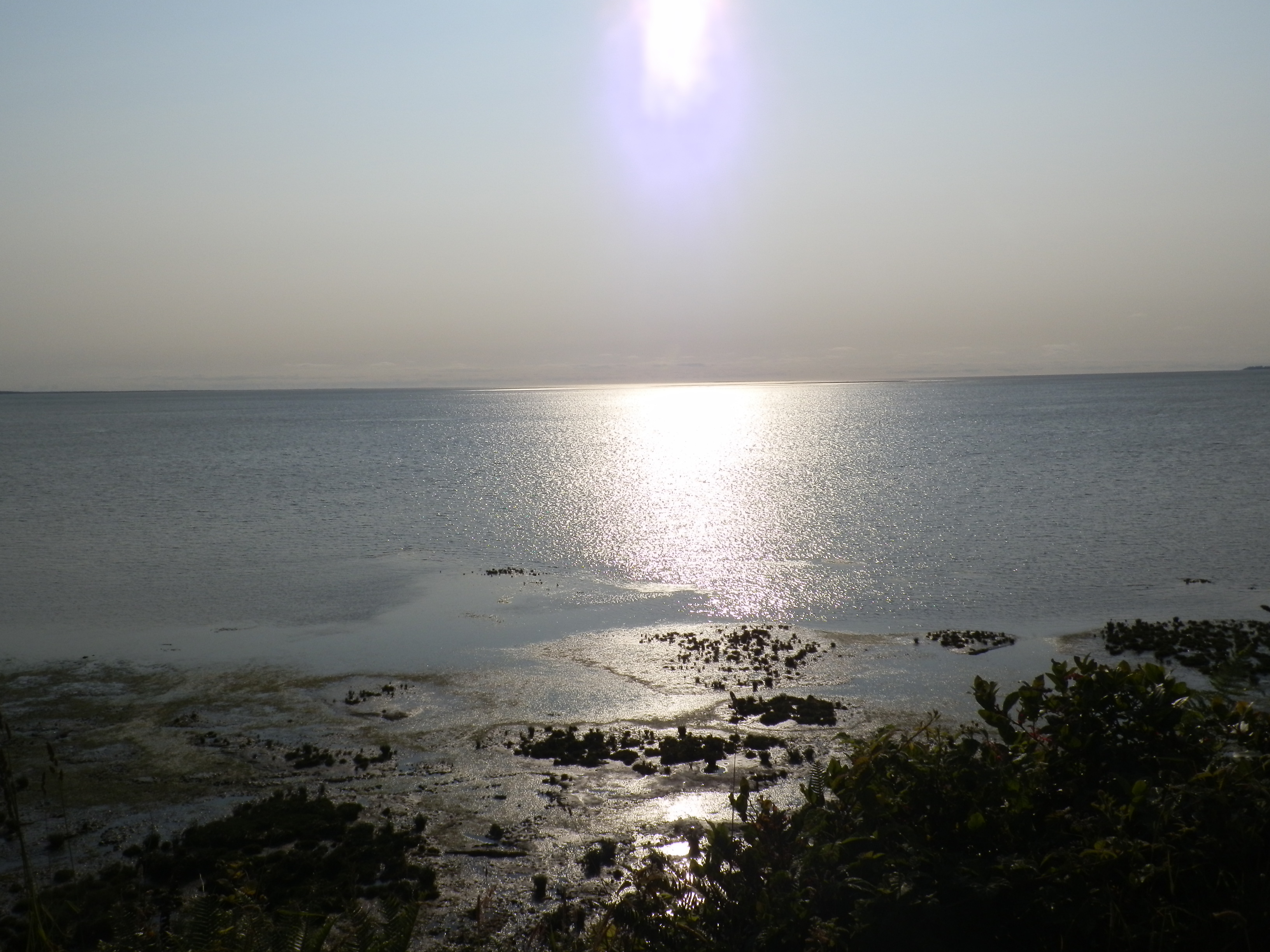
Willapa Bay
California Bike Tour Day 06-03 - Andy Solo.jpg
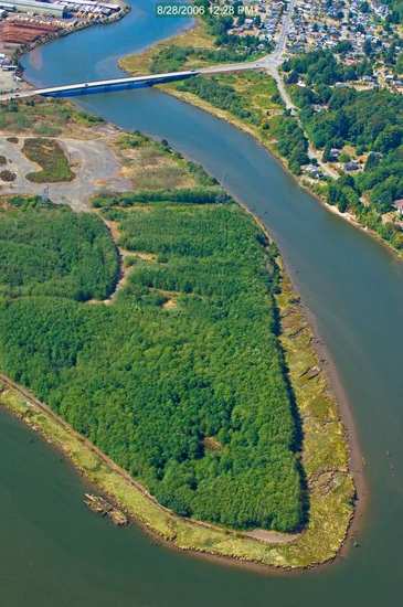
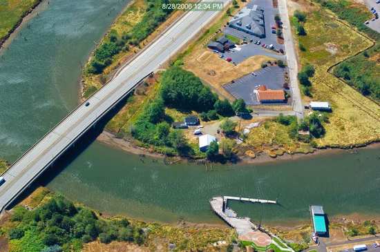
South Bend, Washington
Willapa Bay_2239

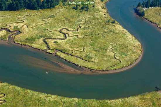
Willipa River

Route 101 Landscape

Olympic National Park (22)

5" x 8" Painting Collage
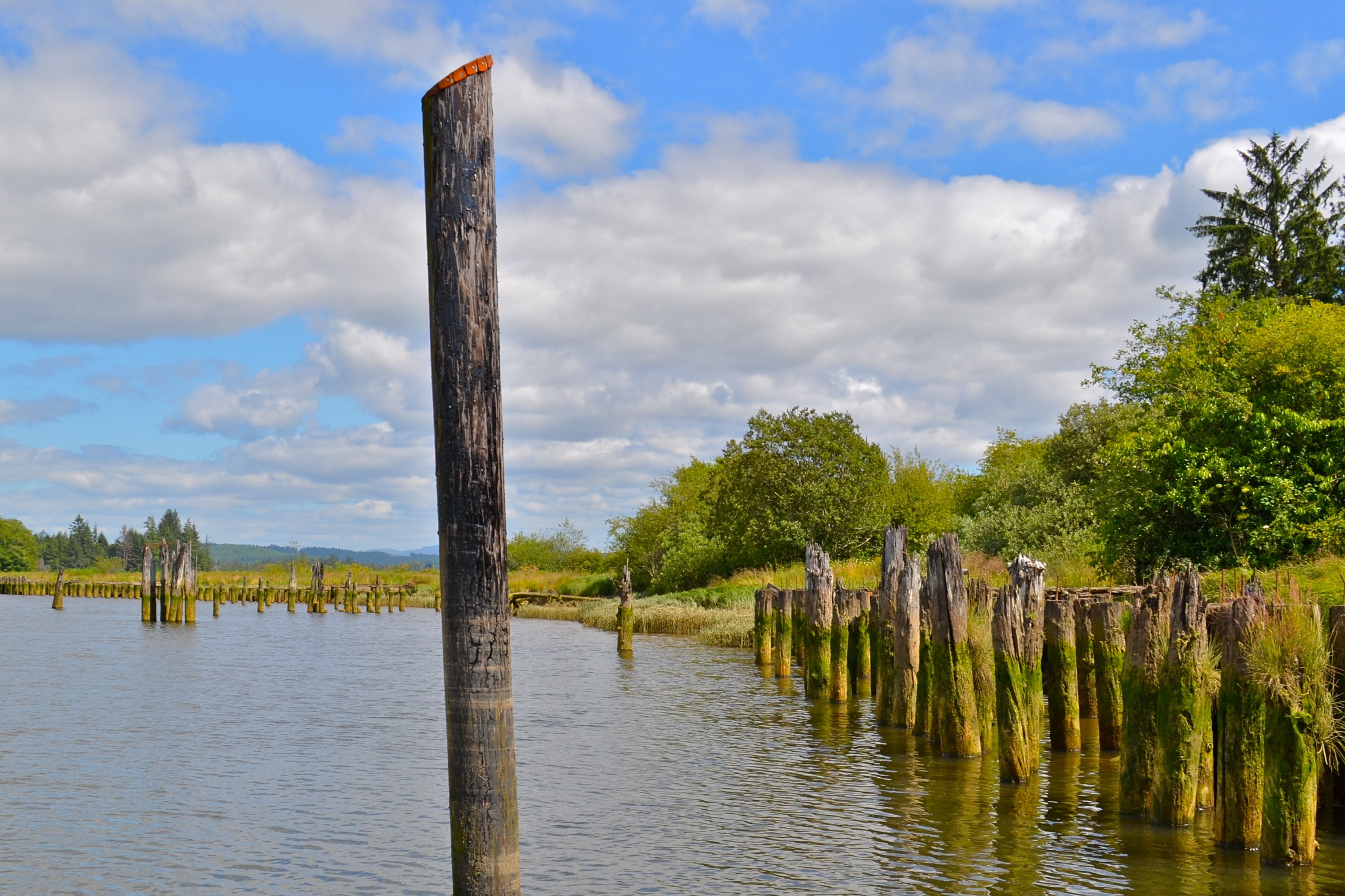
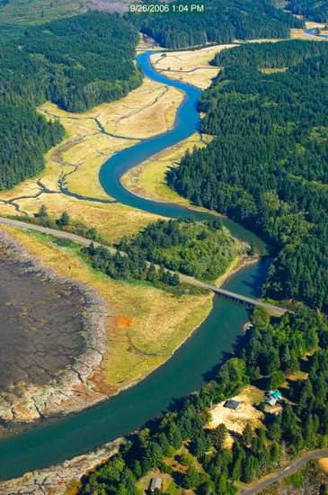
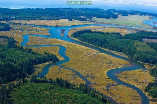
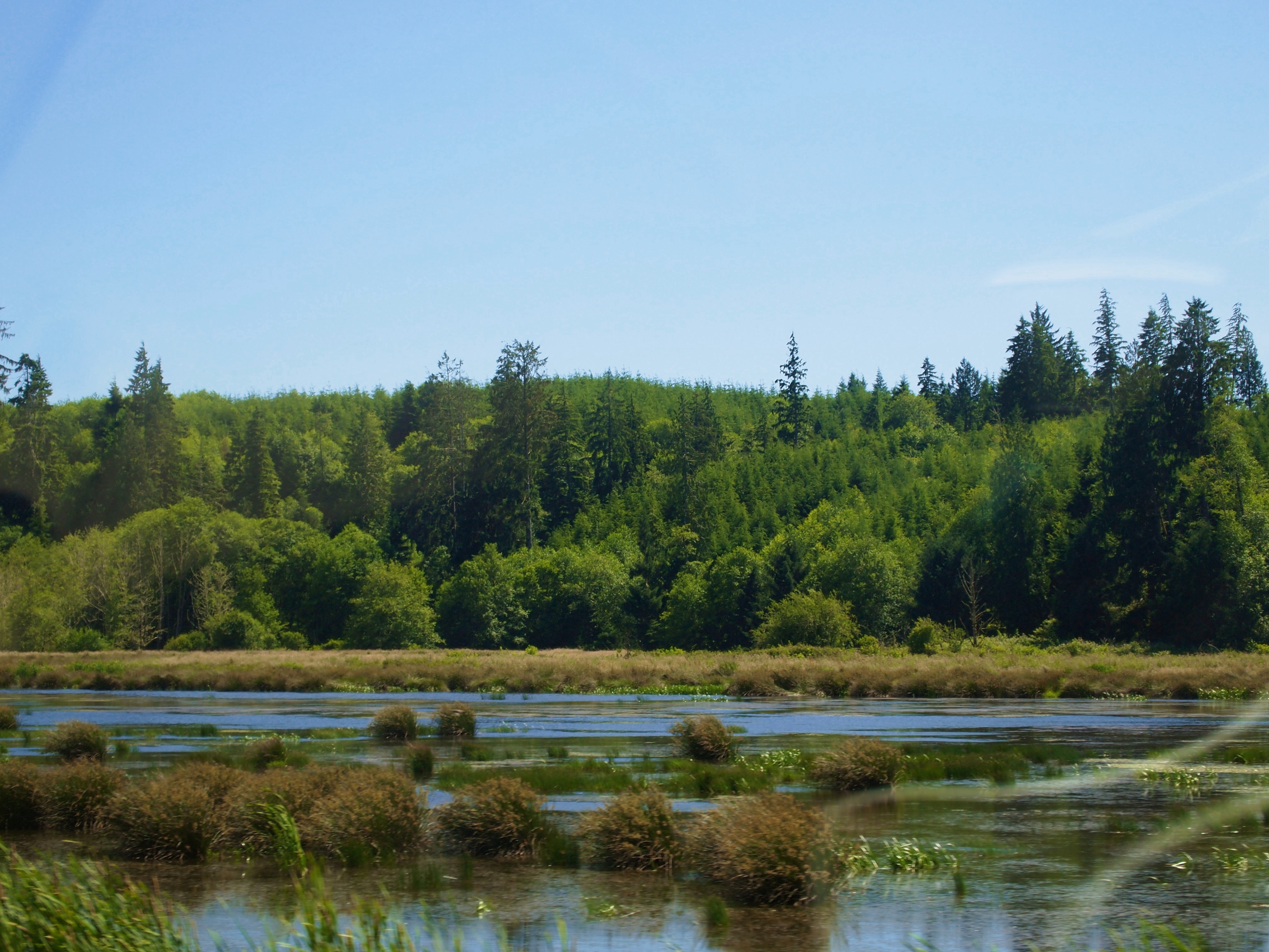
Willapa River

Washington Fields
sh7 quiet

iPhone shooting in the rain. South Bend, WA
P7027278 HWY 101 20130702

Olympic National Park (14)

Olympic National Park (15)
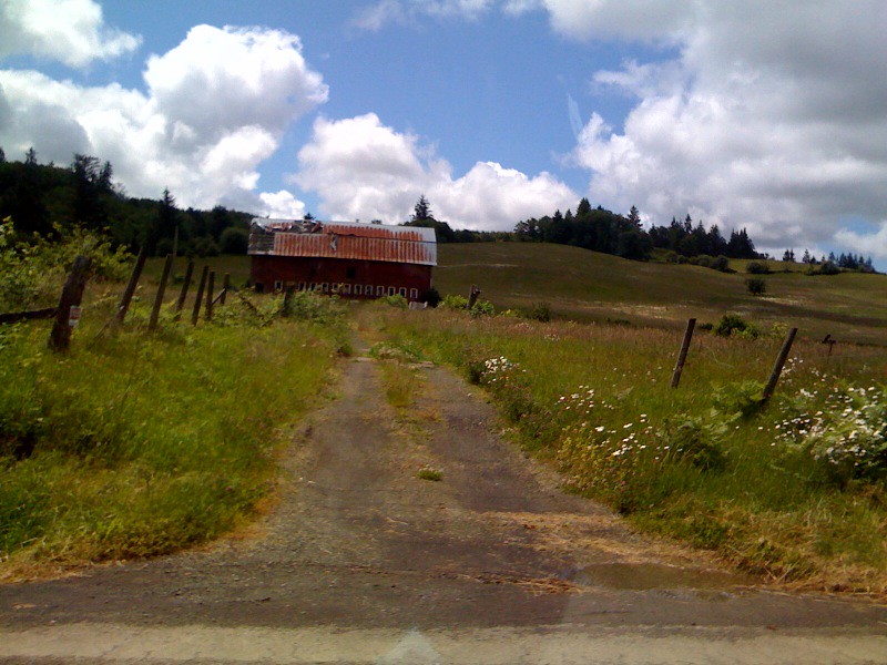
photo.jpg
South Bend, WA

Olympic National Park (16)
P7027279 HWY 101 20130702
Topographic Map of Duryea St, Raymond, WA, USA
Find elevation by address:

Places near Duryea St, Raymond, WA, USA:
1301 Duryea St
Raymond
1607 Harvard St
75 Elk Creek Rd
305 Fir St
62 Urych Rd
270 Joe Rocky Rd
1025 Poplar Ln
631 Wa-6
175 S Fork Rd
Raymond, WA, USA
Mill Creek Rd, Raymond, WA, USA
955 Mill Creek Rd
995 Mill Creek Rd
1020 Mill Creek Rd
Cosmopolis
Sutico
68 Melbourne Rd, Montesano, WA, USA
7104 Central Park Dr
806 Clarke Rd
Recent Searches:
- Elevation of Rojo Ct, Atascadero, CA, USA
- Elevation of Flagstaff Drive, Flagstaff Dr, North Carolina, USA
- Elevation of Avery Ln, Lakeland, FL, USA
- Elevation of Woolwine, VA, USA
- Elevation of Lumagwas Diversified Farmers Multi-Purpose Cooperative, Lumagwas, Adtuyon, RV32+MH7, Pangantucan, Bukidnon, Philippines
- Elevation of Homestead Ridge, New Braunfels, TX, USA
- Elevation of Orchard Road, Orchard Rd, Marlborough, NY, USA
- Elevation of 12 Hutchinson Woods Dr, Fletcher, NC, USA
- Elevation of Holloway Ave, San Francisco, CA, USA
- Elevation of Norfolk, NY, USA