Elevation of Dunmore, WV, USA

Location: United States > West Virginia > Pocahontas County > Greenbank > Dunmore >

Longitude: -79.896879

Latitude: 38.3213961

Elevation: 802m / 2631feet

Barometric Pressure: 92KPa

Elevation Map:

elevation map of Dunmore, WV, USA

Satellite Map:

Satellite map of Dunmore, WV, USA

Related Photos:

By Request
nrqz westvirginia robertcbyrdgreenbanktelescope nrao greenbankobservatory backalleghenymountain farms dgvr vw clouds appalachians pocahontascounty greenbriarrivervalley appalachia nationalradioastronomyobservatory mountaintrees durbinandgreenbriervalleyrailroad forest mountains cassscenicrailroadstatepark baldknob ridges gbt appalachianmountains unitedstatesnationalradioquietzone
View from Bald Knob
railroad mountain shop river log state meadow logging steam historical cass lumber association powered senic skidder ranelle msrlha
Steam Powered Log Skidder before restoration
reflection train photoshop smoke allrightsreserved steamlocomotive ©allrightsreserved cassscenicrailroad rcvernors cassscenicrailroadstatepark casswv rickchilders scenicextreme geardrivensteamlocomotive
Scenic Extreme
summer usa mountains view scenic wv westvirginia vista appalachianmountains spruceknob pocahontascounty wildwonderfulwestvirginia ©allrightsreserved cassscenicrailroad whittakerstation rcvernors cassscenicrailroadstatepark rickchilders elevation3280
Whittaker Station - Elevation 3280
cameraphone winter snow snowshoe skiing westvirginia snowshoewestvirginia snowshoemountain
Snowshoe Mountain Shops
cameraphone winter lake snow snowshoe frozen skiing view westvirginia snowshoewestvirginia snowshoemountain
Snowshoe Lake
paddyknob bathcounty virginia warbler woodwarbler woodwarblers chestnutsidedwarbler animal creature nature outdoor outdoors outside nikon nikond500 birdwatching birding bird birder birds
Chestnut-sided Warbler
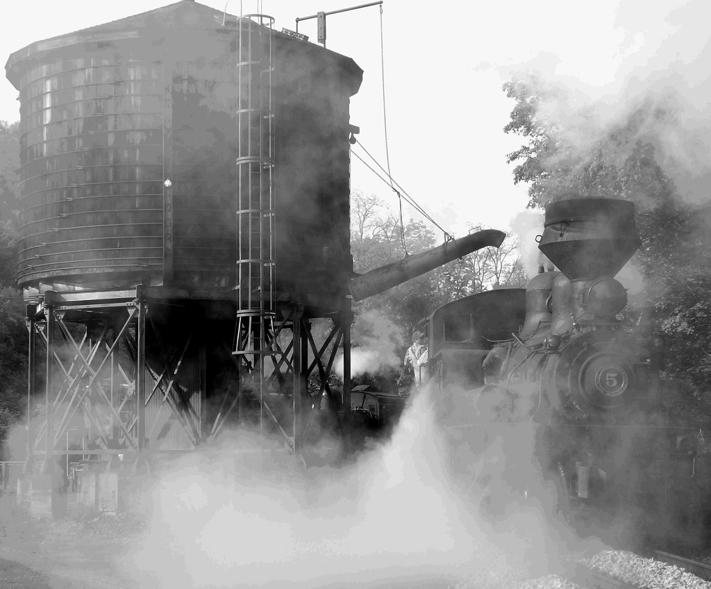
Shay #11 at Spruce
They appear alive, Shay #11 at Cass
Video of passenger cars backing clear of photo runbuys
sky night dark stars view wv overlook cass milkyway
Overlook at Bald Knob - Cass, WV
Greenbank Observatory
steamdome westvirginia cablecar smoke mountian appalachians locomotive dgvr vw greenbriarrivervalley pocahontascounty durbinandgreenbriervalleyrailroad shay2 cassscenicrailroadstatepark appalachianmountains forest appalachia steamengine engineer
Railroad with a View
trees train woods smoke passengers wv westvirginia locomotive appalachia railcars steamtrain appalachianmountains steamlocomotive passengercar pocahontascounty coalfired ©allrightsreserved steamdriven cassscenicrailroad rcvernors cassscenicrailroadstatepark casswv rickchilders openrailcars
Pushing A Load
geotagged cass hdr geo:lat=38406473333 geo:lon=79947558333
Whittaker View
casswv roncogswell whittakerloggingcampcassscenicrailroadwv viewfromwhittakeronthecassscenicrailroadwvmay2013
View from Whittaker on the Cass Scenic Railroad (WV) May 2013
statepark railroad train wv cass greenbriar cassscenicrailroad greenbriarcounty greenbriarvalley
CassRR-5186.jpg
tamronaf28300mmf3563xrdivc
3450 River View
cassscenicrailroad
The View from Bald Knob
gbt 140ft
BIWF GBT-140_Aerial_hi
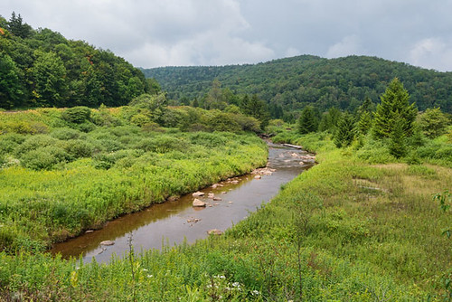
trees water forest river woods rocks rustic fork boulders westvirginia flowing shallow spruce cheat cheatriver shaversfork shavers rushing townsite
Shavers Fork
senecastateforest westvirginia nationalradioquietzone camping firetower yextwestvirginia
Fall in West Virginia
naturesimagephotographyworkshop photography workshop cass wv westvirginia barns wildflowers geotag gps cassscenicrailroadstatepark ir infrared 720nm
Photo Workshop -Infrared 06
freighttrain roncogswell casswvscenicrailroad casswvscenicrailroadstatepark freighttrainoutofcassstationwvmay2013 2013casswvrailfanweekend
Freight Train Out Of Cass Station (WV) May 2013
U.S. Geological Survey, Stream Gage, Little Back Creek, Little Mountain, George Washington National Forest, Bath County, Virginia 2
Little Back Creek, Little Mountain, George Washington National Forest, Bath County, Virginia 3
Little Back Creek, Little Mountain, George Washington National Forest, Bath County, Virginia 1
naturesimagephotographyworkshop photography workshop cass wv westvirginia barns wildflowers geotag gps cassscenicrailroadstatepark
Photo Workshop -KATHY 28
naturesimagephotographyworkshop photography workshop cass wv westvirginia barns wildflowers geotag gps cassscenicrailroadstatepark ir infrared 720nm
Photo Workshop -Infrared 08
naturesimagephotographyworkshop photography workshop cass wv westvirginia barns wildflowers geotag gps cassscenicrailroadstatepark
Photo Workshop -JOE 09
mist fog barn rural landscape farm wv westvirginia pocahontascounty
West Virginia Mists
naturesimagephotographyworkshop photography workshop cass wv westvirginia barns wildflowers geotag gps cassscenicrailroadstatepark
Photo Workshop -JOE 24
naturesimagephotographyworkshop photography workshop cass wv westvirginia barns wildflowers geotag gps cassscenicrailroadstatepark
Photo Workshop -JOE 17
naturesimagephotographyworkshop photography workshop cass wv westvirginia barns wildflowers geotag gps cassscenicrailroadstatepark
Photo Workshop -JOE 08
autumn trees fall nature canon unitedstates dish shed science wv westvirginia 7d receiver airstrip nas radiotelescope greenbank gbt arbovale
The 100-meter Antenna
morning trees sun mist mountains fog sunrise wv cass
Bald Knob Sunrise
satellite dish listening space westvirginia
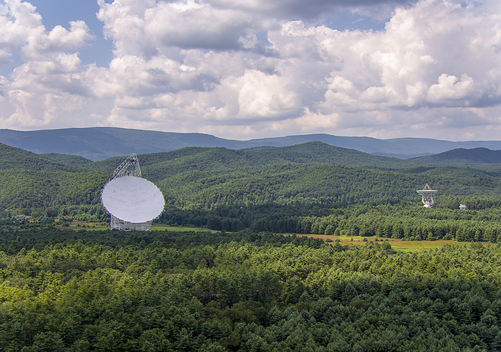
Green Bank Observatory
mill westvirginia drone inspire1pro
Spruce Knob-Seneca Rocks
usa clouds barn bluesky september wv telescope westvirginia greenbank 2014 squirrelgirl nationalradioastronomyobservatory barbaraamende barbaraaamende barbaraanneamende
National Radio Astronomy Observatory, Green Bank, WV