Elevation of Dunk River Rd, Summerside, PE C1N 4J9, Canada
Location: Canada > Prince Edward Island > Prince County > Summerside >
Longitude: -63.660890
Latitude: 46.3301167
Elevation: 30m / 98feet
Barometric Pressure: 101KPa
Elevation Map:
Satellite Map:
Related Photos:

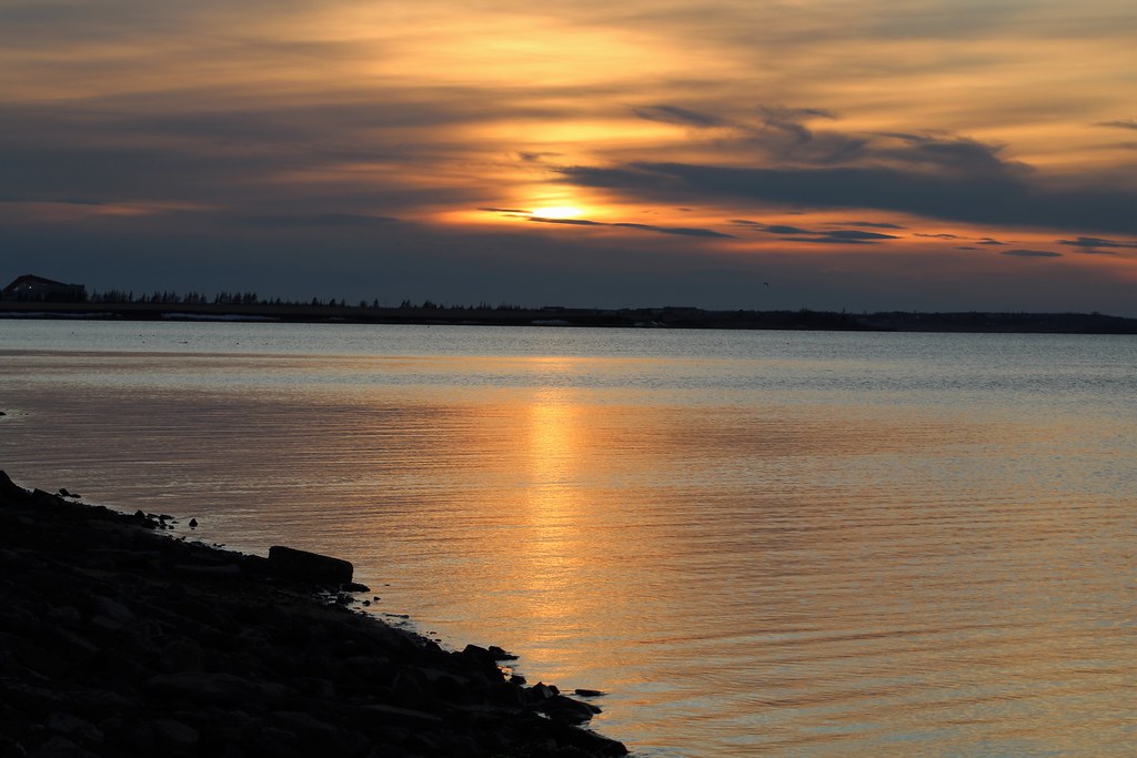
Sunset over the Water

Confederation Bridge at Dusk

Sunset at the River

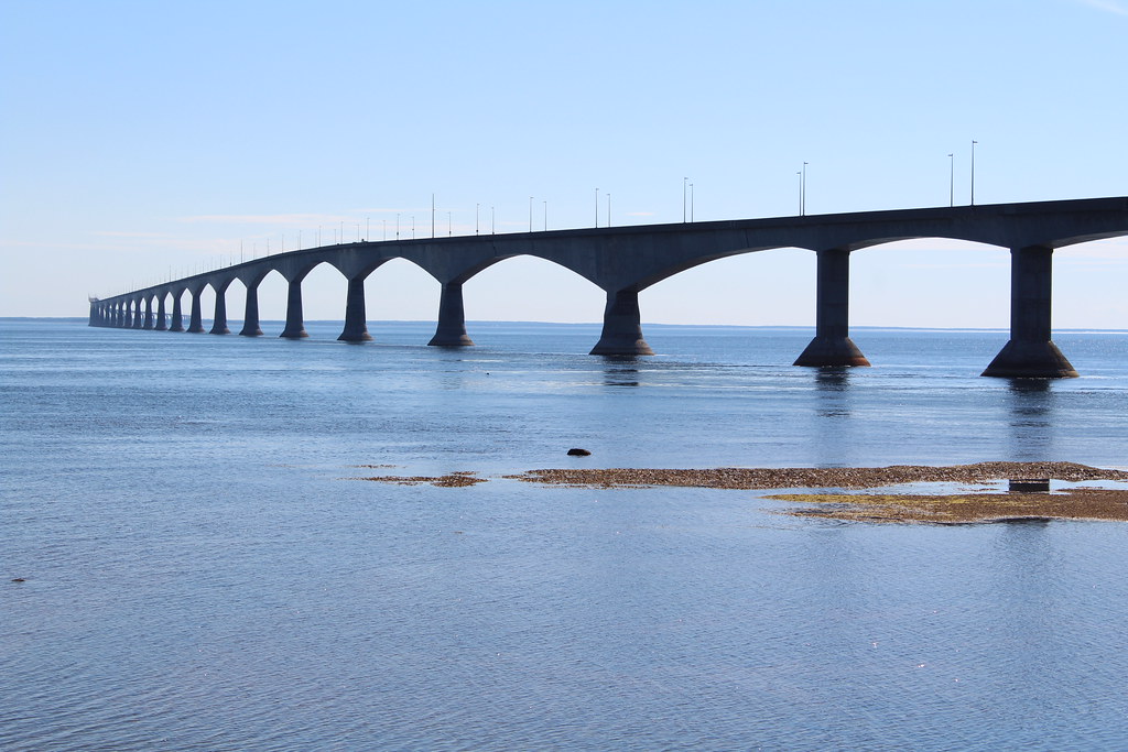
Confederation Bridge

Sunset at Locke Shore

Confederation Bridge

Shamrock, PEI

Lefurgey Cultural Centre, 205 Prince Street, Summerside, PEI

Lower Bedeque, PEI
Sunset 2

Confederation Bridge

Sunset 1
Confederation Bridge

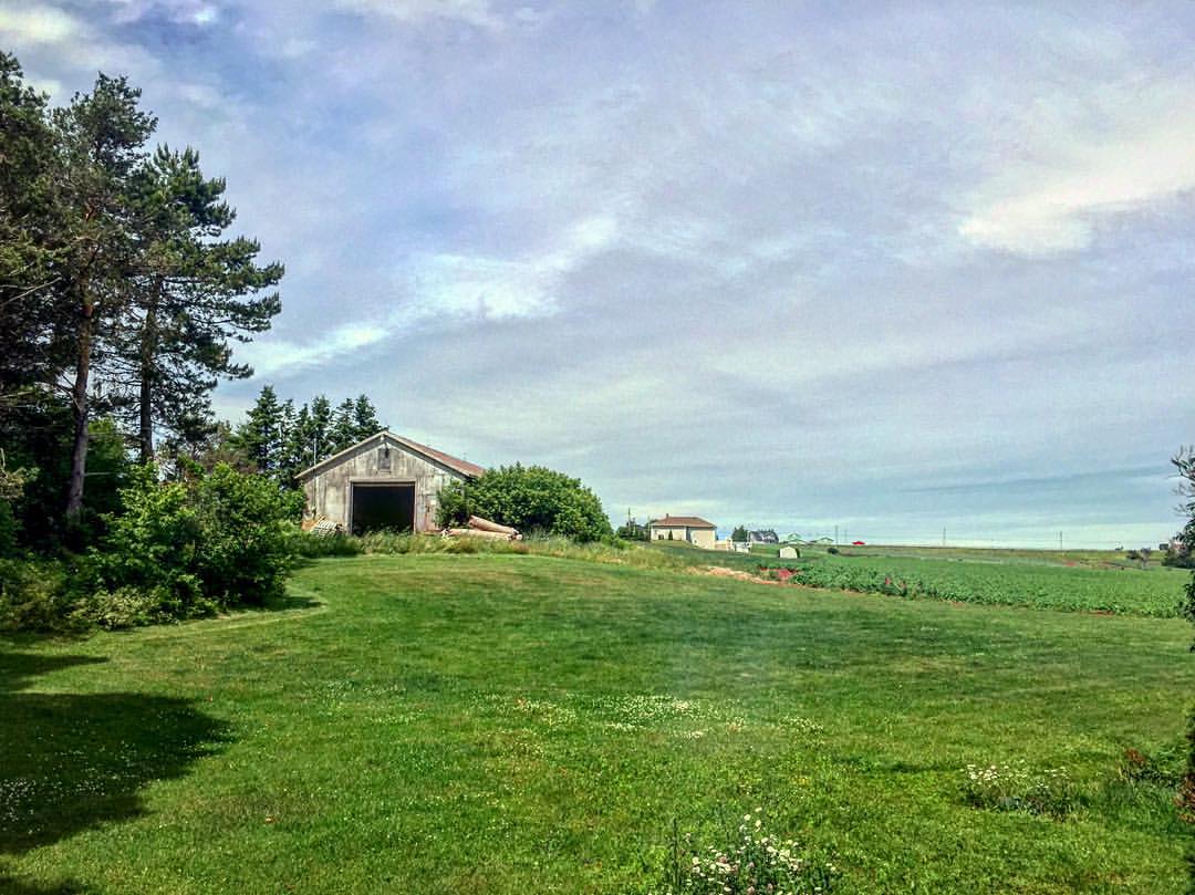
Farm Fields- Newton, PEI

Farm Fields- Newton, PEI

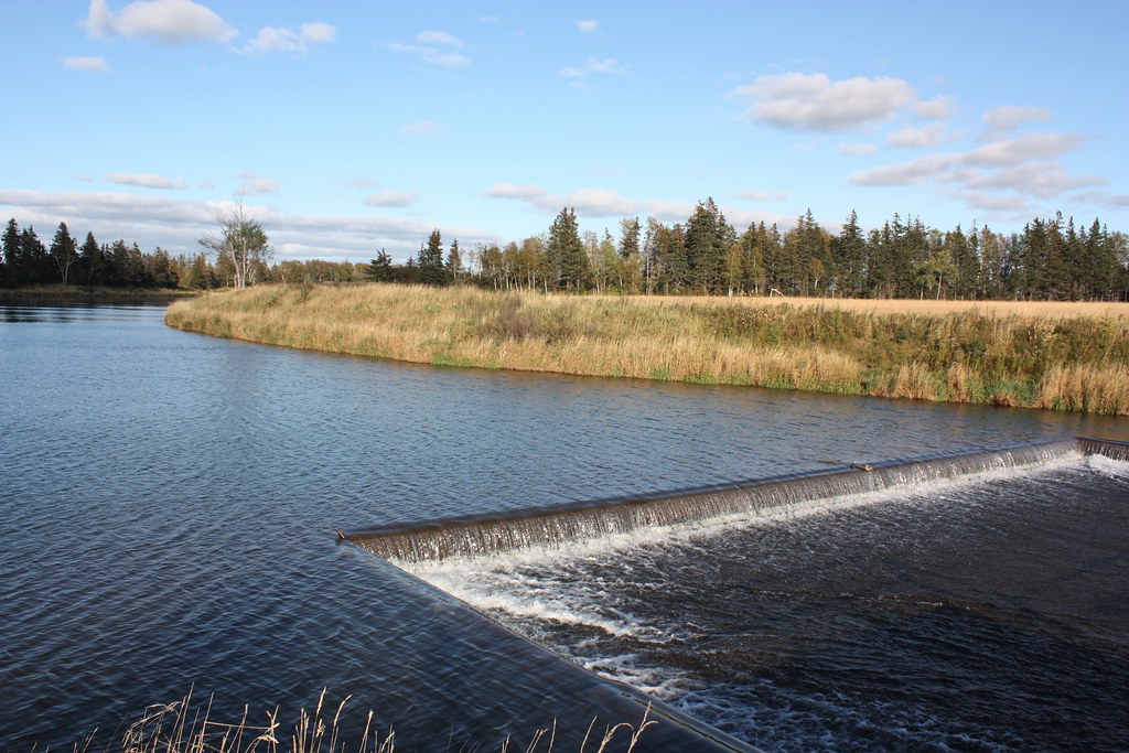
Scales Pond- South Freetown, PEI

Scales Pond- South Freetown, PEI
Scales Pond- South Freetown, PEI

Springfield, PEI

Breadalbane, PEI

Springfield, PEI

Windy Island Sunset II

Hay Rolls

Winter Evening
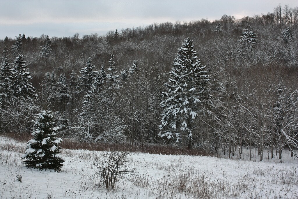
Winter Forest

Along the River

Storm Clouds

Clouds over Canola, Rose Valley, Prince Edward Island

Prince Edward Island

Mustard Field in Tryon, PEI

Confederation Bridge

Potato field and Confederation Bridge from Seven Mile Bay, Prince Edward Island

Seen in a distant fog, the Confederation Bridge spans the strait between New Brunswick and Prince Edward Island.

Prince Edward Island

PEI "rain forest" beside Confederation Trail near Borden, PEI

The Confederation Bridge spanning the Northumberland Strait between New Brunswick and Prince Edward Island
Nicer than New York. #PEI #explorecanada #eastcoast #nature #farmlife

Ready for Planting, Kinkora, Prince Edward Island

Confederation Bridge, PEI

Stormy Skies 1

KM 133, between Kensignton and Emerald Confederation Trail, PEI

Confederation Bridge
Topographic Map of Dunk River Rd, Summerside, PE C1N 4J9, Canada
Find elevation by address:

Places near Dunk River Rd, Summerside, PE C1N 4J9, Canada:
Mill Rd, Freetown, PE C0B 1L0, Canada
3979 N Carleton - Rte 10 Rd
3979 N Carleton - Rte 10 Rd
Lot 25
Albany
Callbeck St, Bedeque, PE C0B 1C0, Canada
16 Stavert Shore Rd, Summerside, PE C1N 4J9, Canada
43 Waugh Rd
1202 Blue Shank Rd
Borden-carleton
Cape Traverse United Church Cemetery
26 Wharf Rd
Lot 27
PE-, Bedeque, PE C0B 1C0, Canada
266 Read Dr
204 Crozier Dr
104 Crozier Dr
734 Water St E
C1n 4h7
633 Murphy St
Recent Searches:
- Elevation of Great Brook Sports, Gold Star Hwy, Groton, CT, USA
- Elevation of 10 Mountain Laurels Dr, Nashua, NH, USA
- Elevation of 16 Gilboa Ln, Nashua, NH, USA
- Elevation of Laurel Rd, Townsend, TN, USA
- Elevation of 3 Nestling Wood Dr, Long Valley, NJ, USA
- Elevation of Ilungu, Tanzania
- Elevation of Yellow Springs Road, Yellow Springs Rd, Chester Springs, PA, USA
- Elevation of Rēzekne Municipality, Latvia
- Elevation of Plikpūrmaļi, Vērēmi Parish, Rēzekne Municipality, LV-, Latvia
- Elevation of 2 Henschke Ct, Caboolture QLD, Australia