Elevation of Dunby Rd, Mono, ON L9W 3V1, Canada
Location: Canada > Ontario > Dufferin County > Mono >
Longitude: -80.056157
Latitude: 44.0065939
Elevation: 429m / 1407feet
Barometric Pressure: 96KPa
Elevation Map:
Satellite Map:
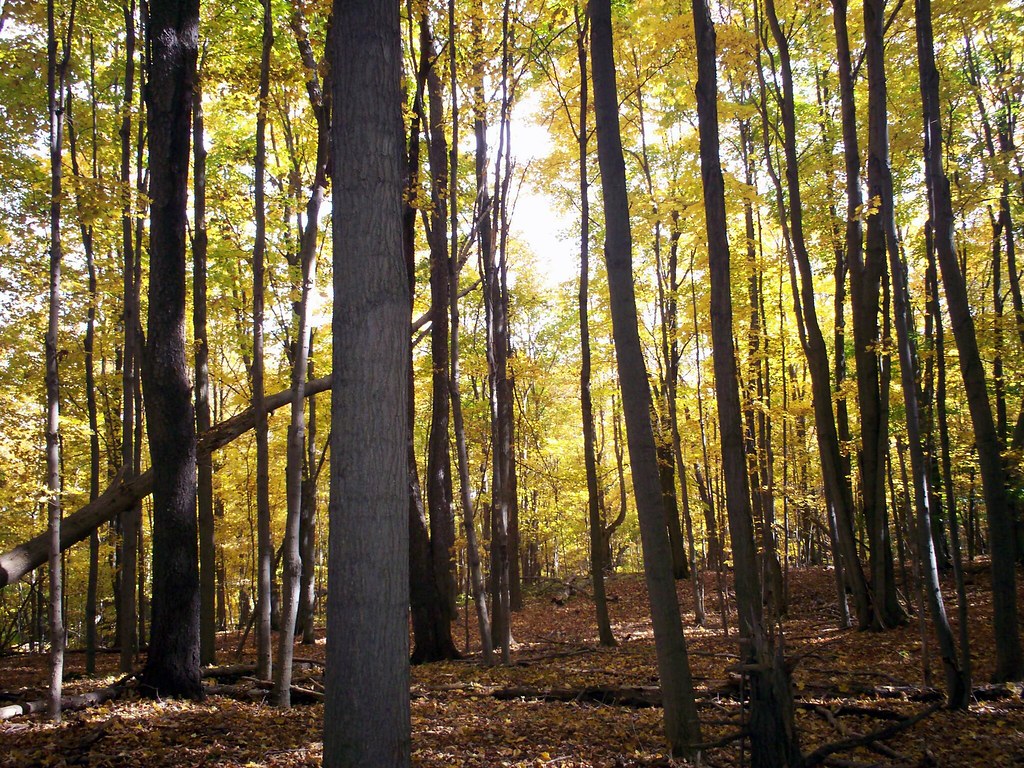
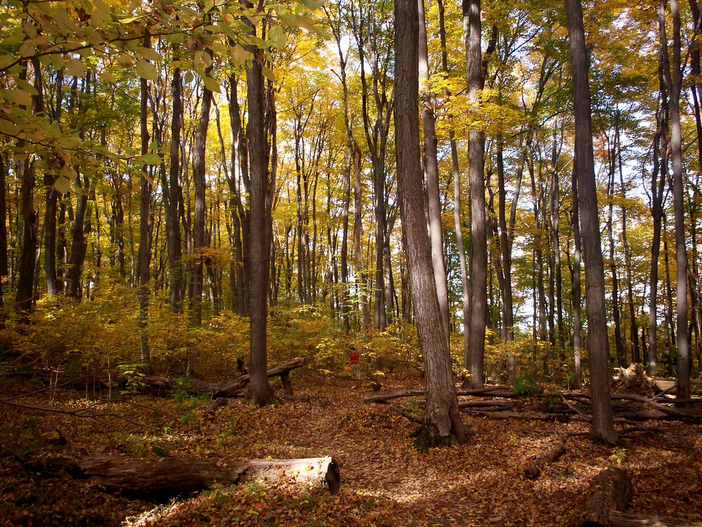
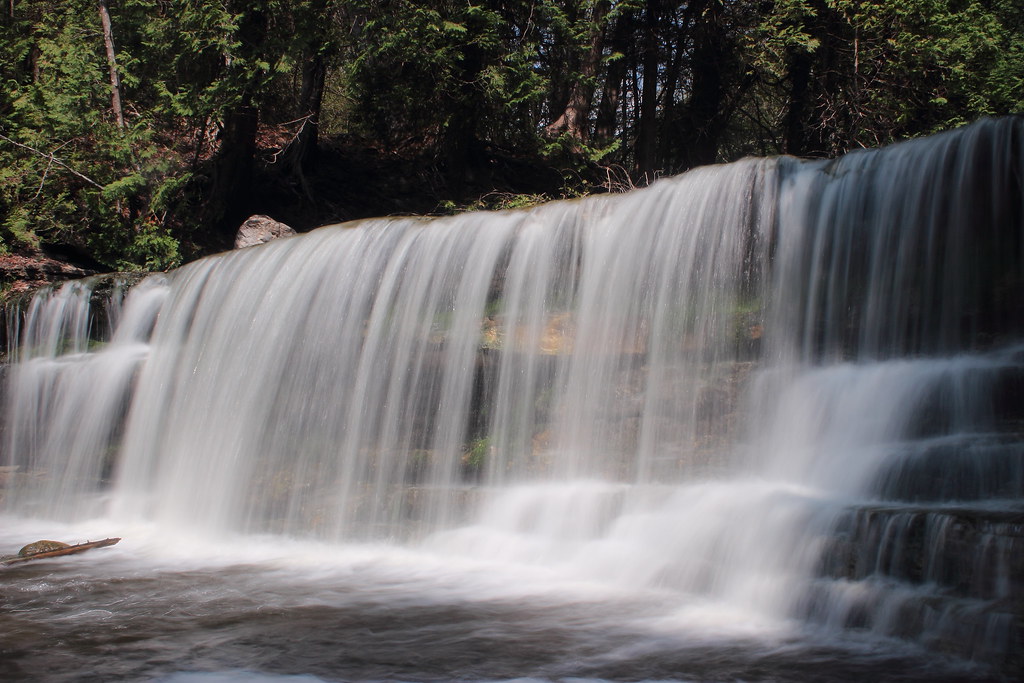
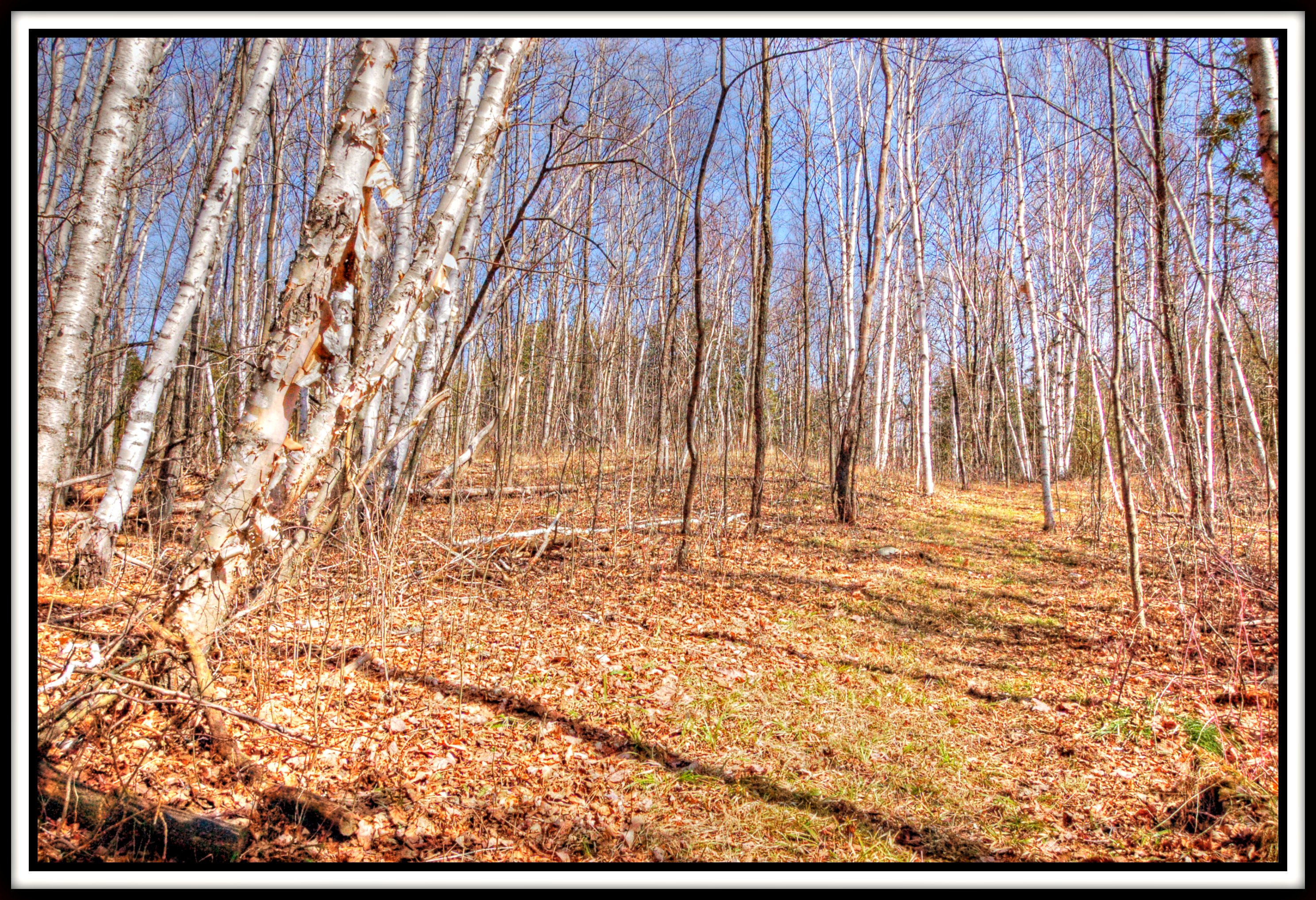
Related Photos:
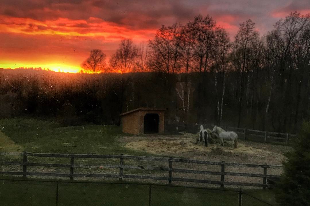
Stunning #sunset and #horses ... gawd I love our view!!! #livingthedream #farmlife #thisviewnevergetsold

Really Driftin
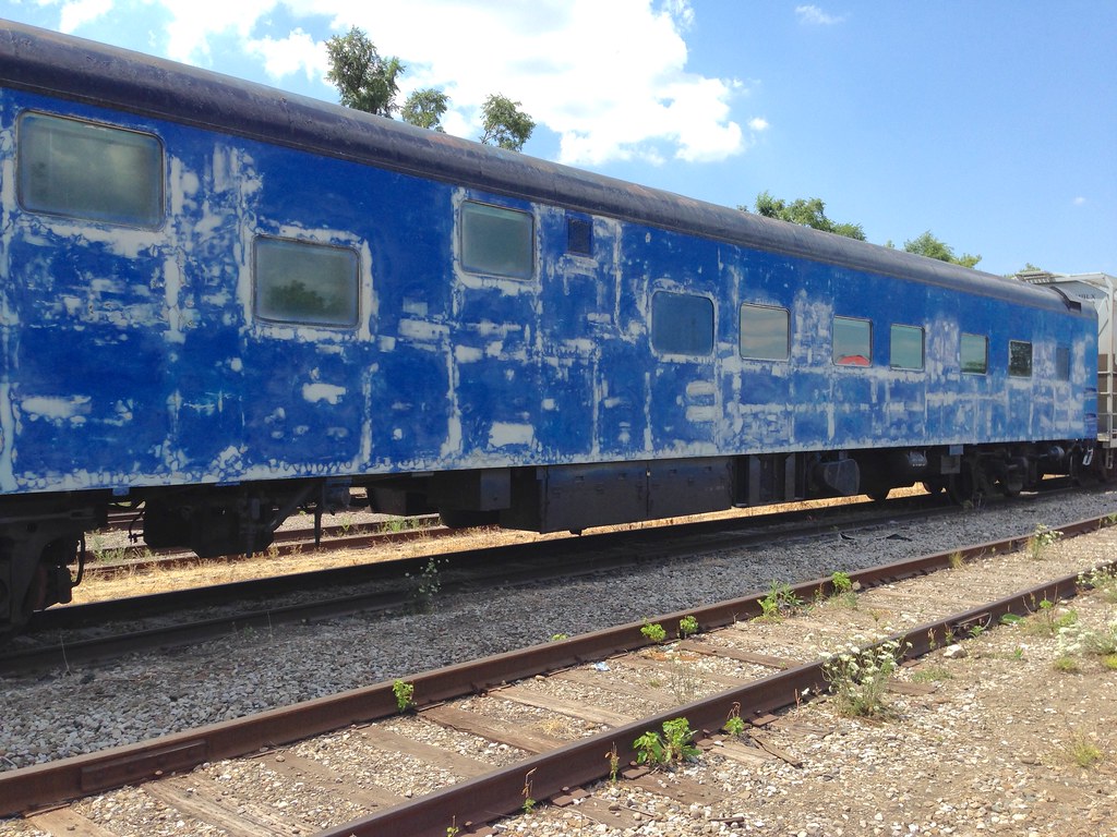
Ex-CN/VIA Sleeping car "Edmundston" in Orangeville, Ontario, undergoing restoration under the auspices of Rapido Trains, Inc. Pullman Standard Co. Product of 1954. It will be in the colours of Via Rail Canada , its last operator in public conveyance.

Garden view

Phalenopsis bird’s-eye view
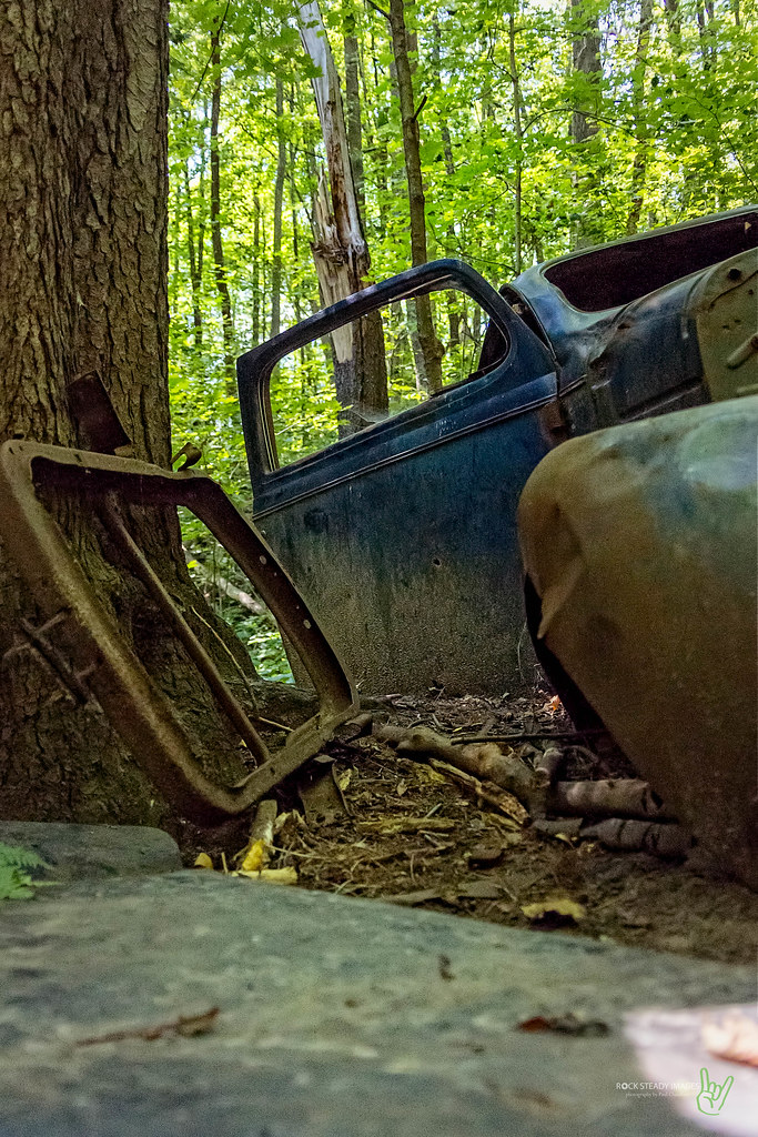
I Think the Trees Are Starting to Take Her
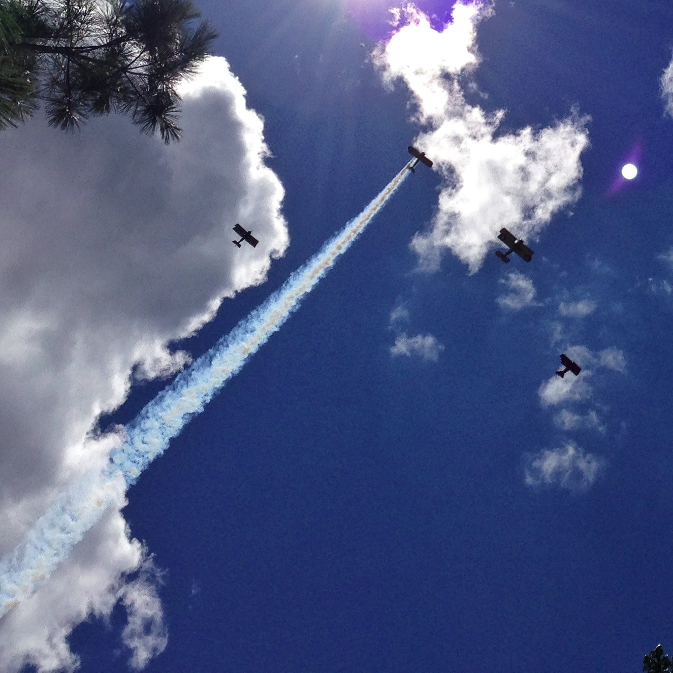
Another view of the fly past for Roz Robinson

Another view of the quirky dotting along one side of the petals of St John’s-wort
Trail view outside my room
Close view of large boulders
Trail view outside my room
The view from here …
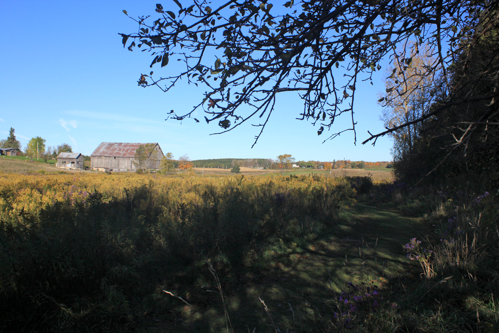
Upper Credit CA - View along the entrance trail.

The bee’s-eye view while approaching glory
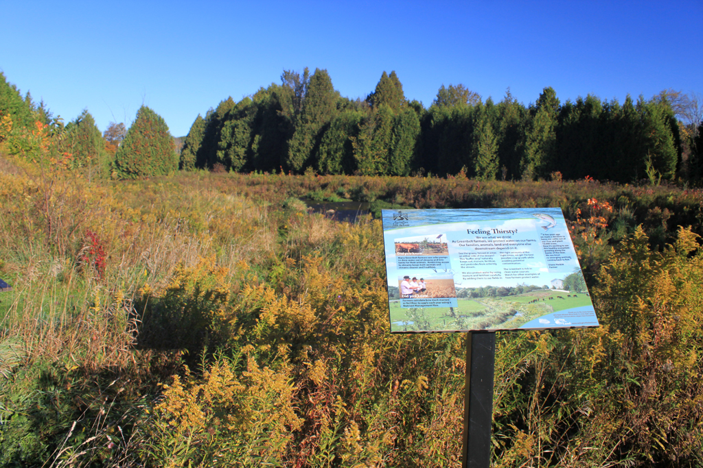
Upper Credit CA - View along the entrance trail

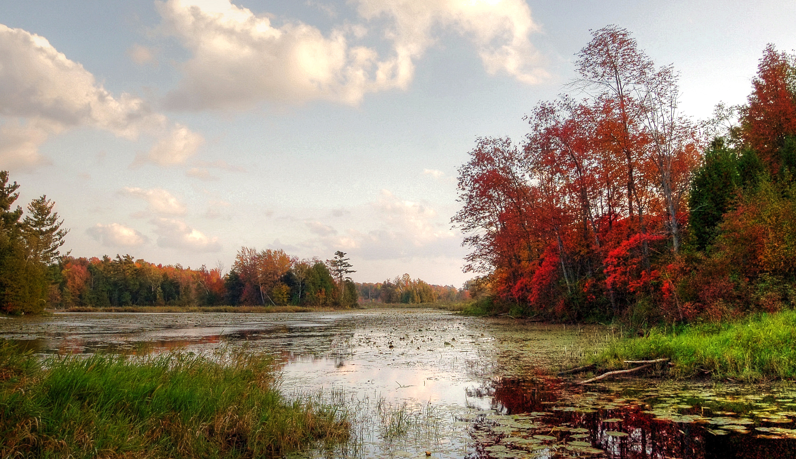
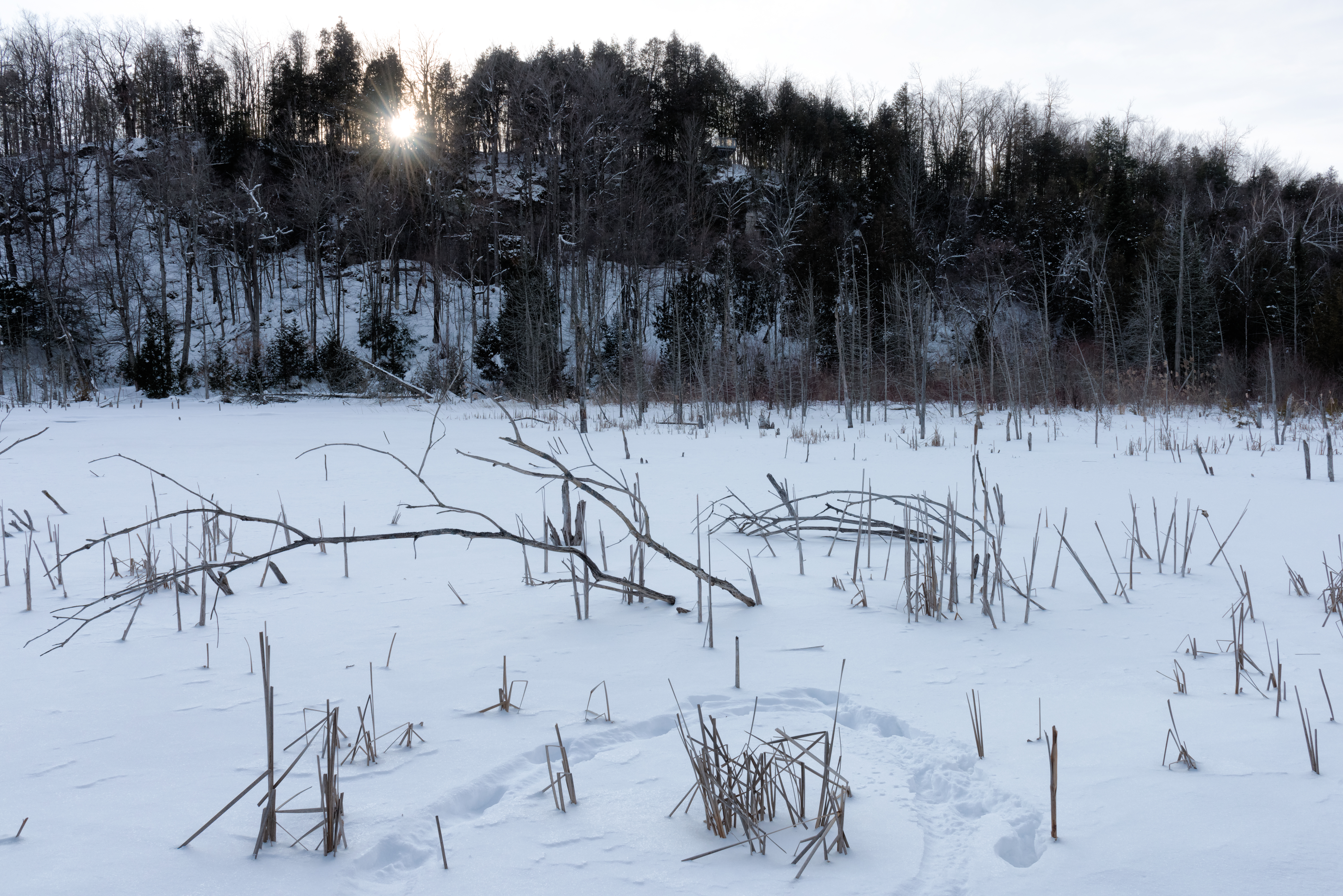
McCallum's Pond Sunset
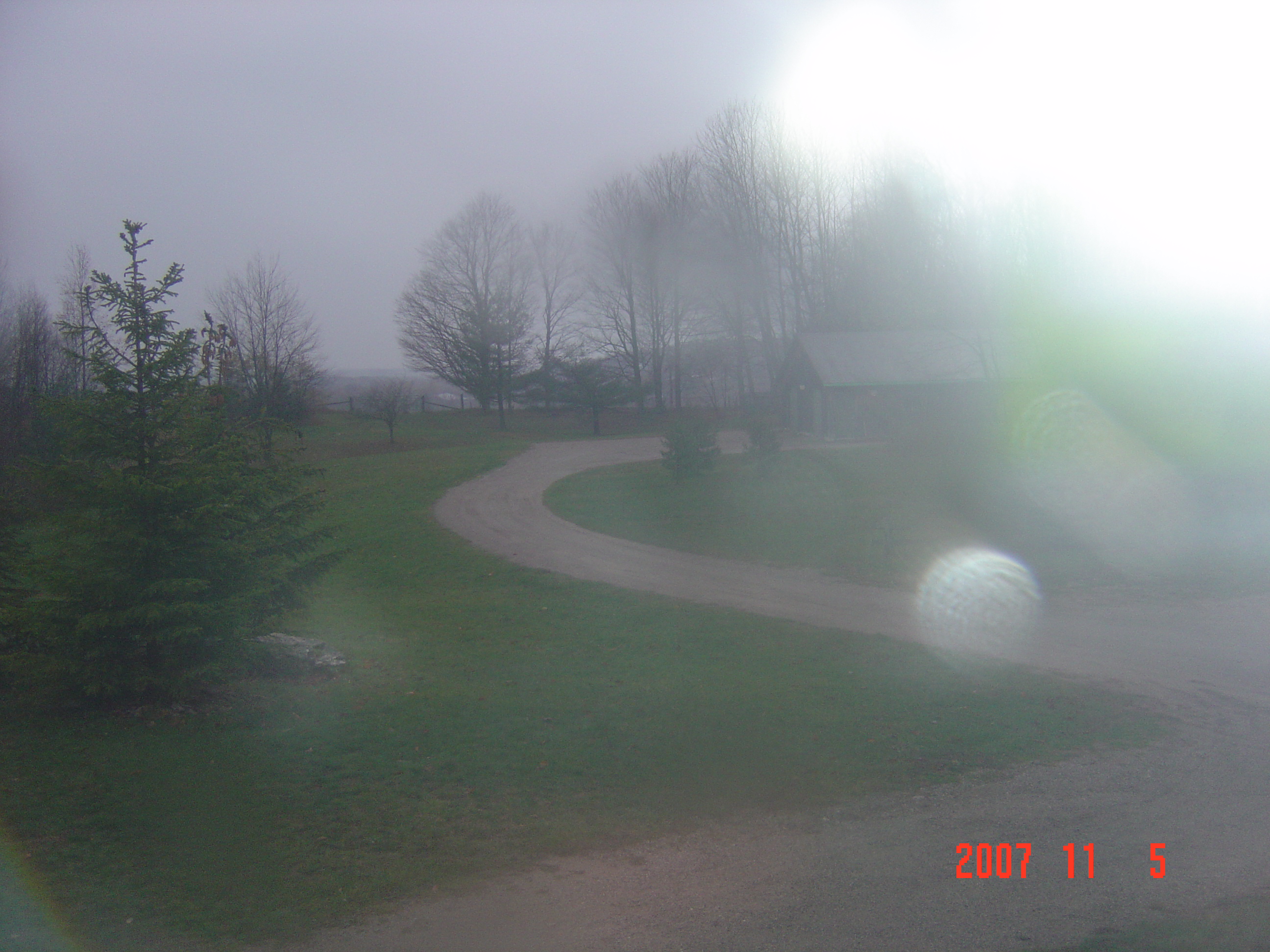
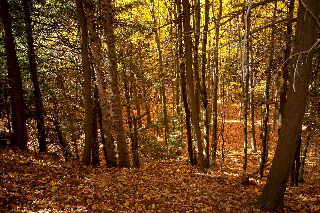
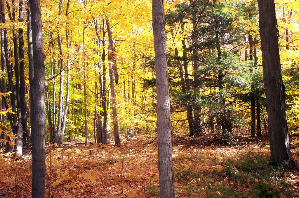
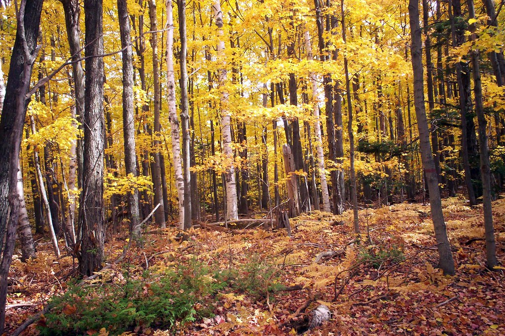
Trees in the Mist
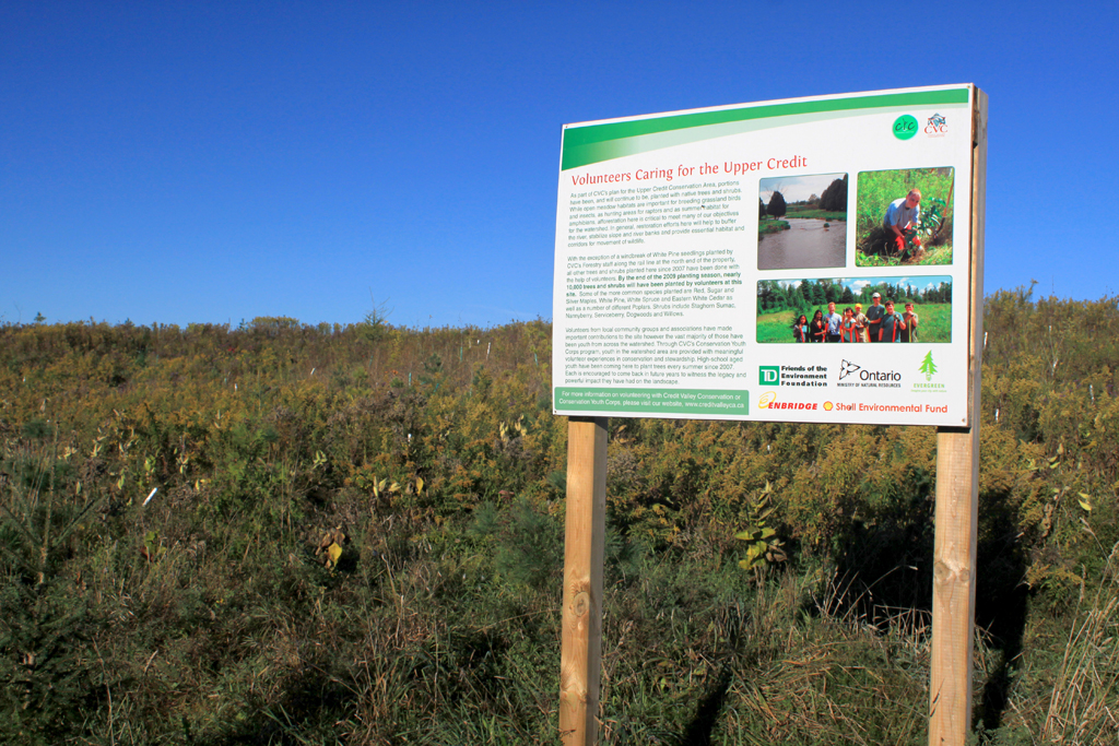
Upper Credit CA - View along the entrance trail

Upper Credit CA - View along the entrance trail
Upper Credit CA - View along the entrance trail
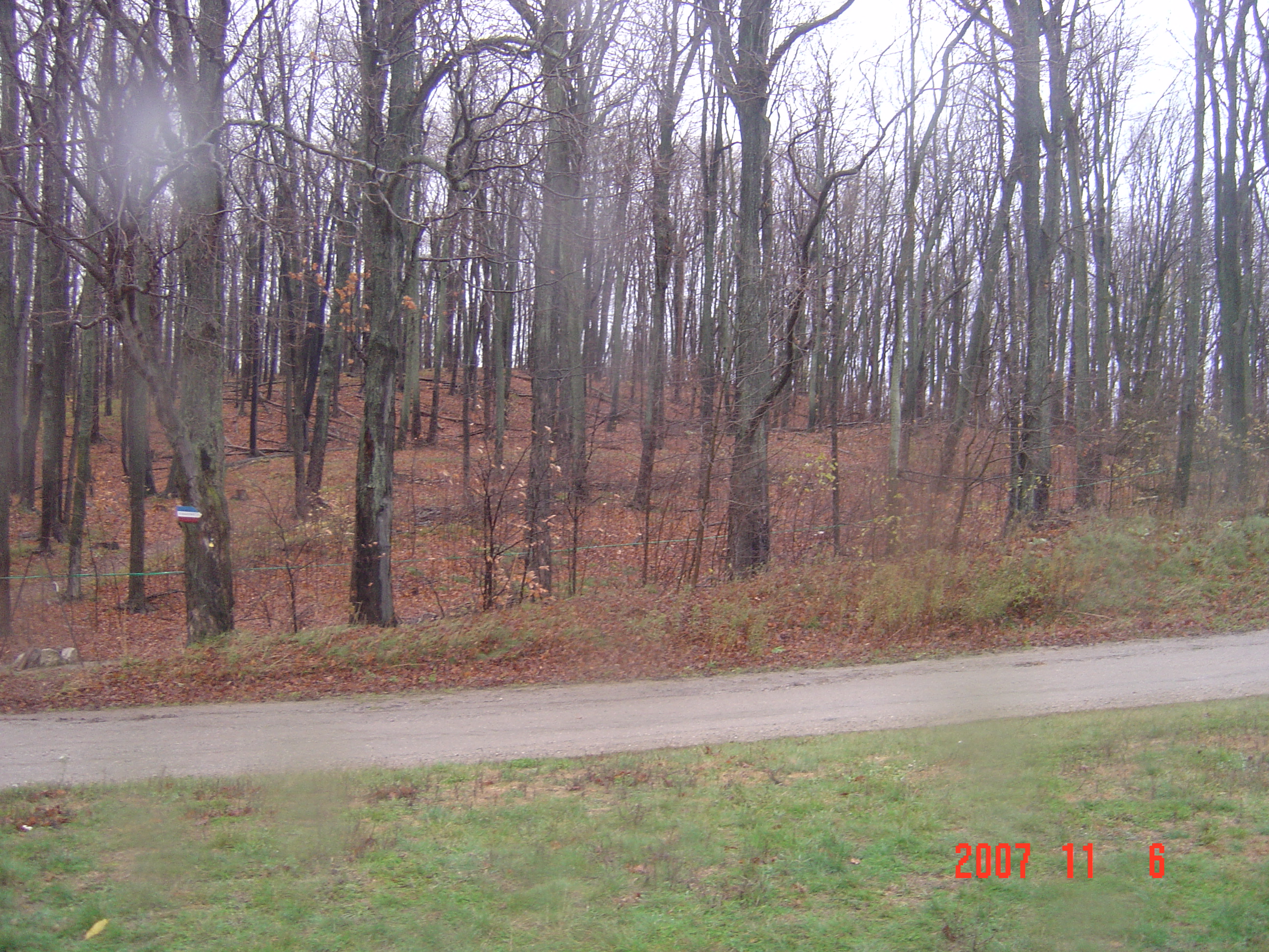
View of outside from my room
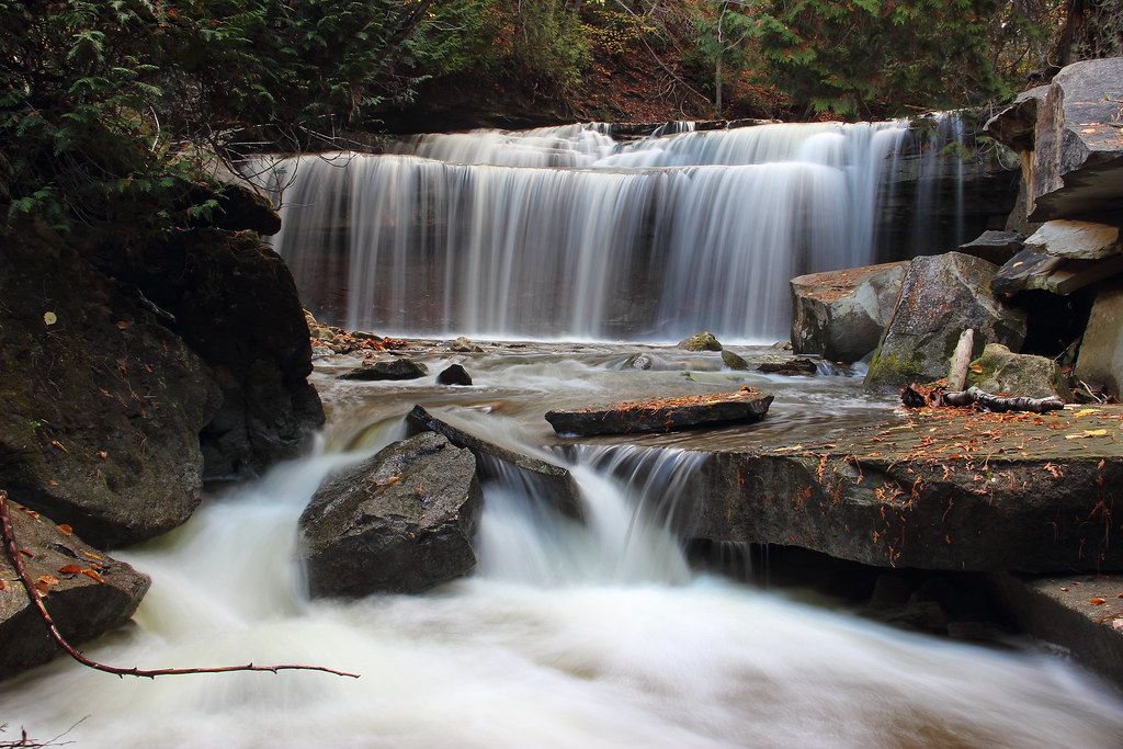
Beneath Cannings Falls

Boulders Downstream
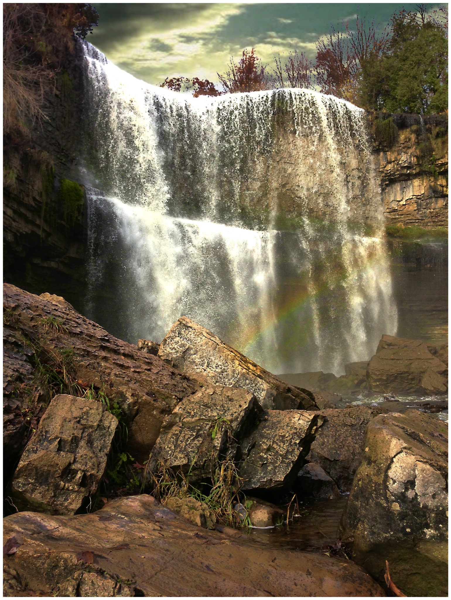
Websters Fall ~ Ontario Canada
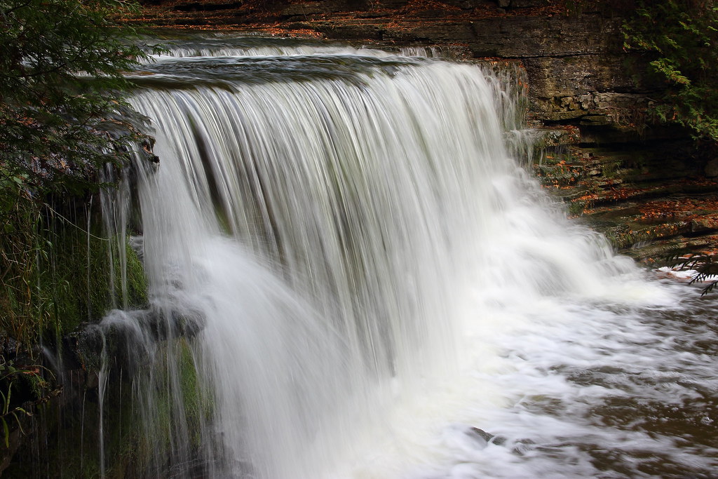
Cannings Cascade
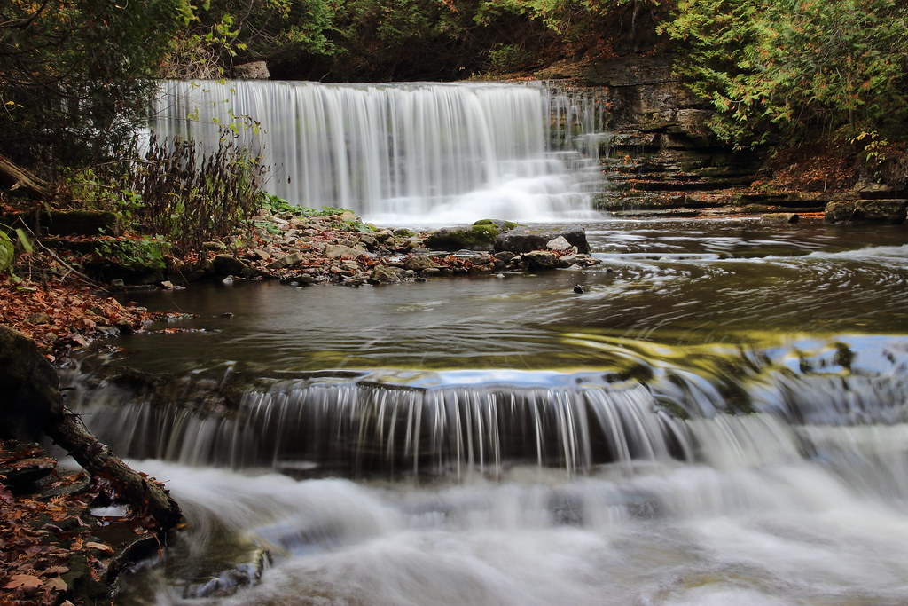
Scotts Falls
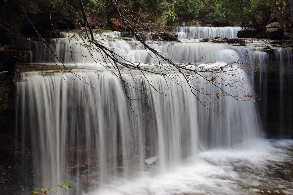
The Falls
img 208

The Pumpkin Patch

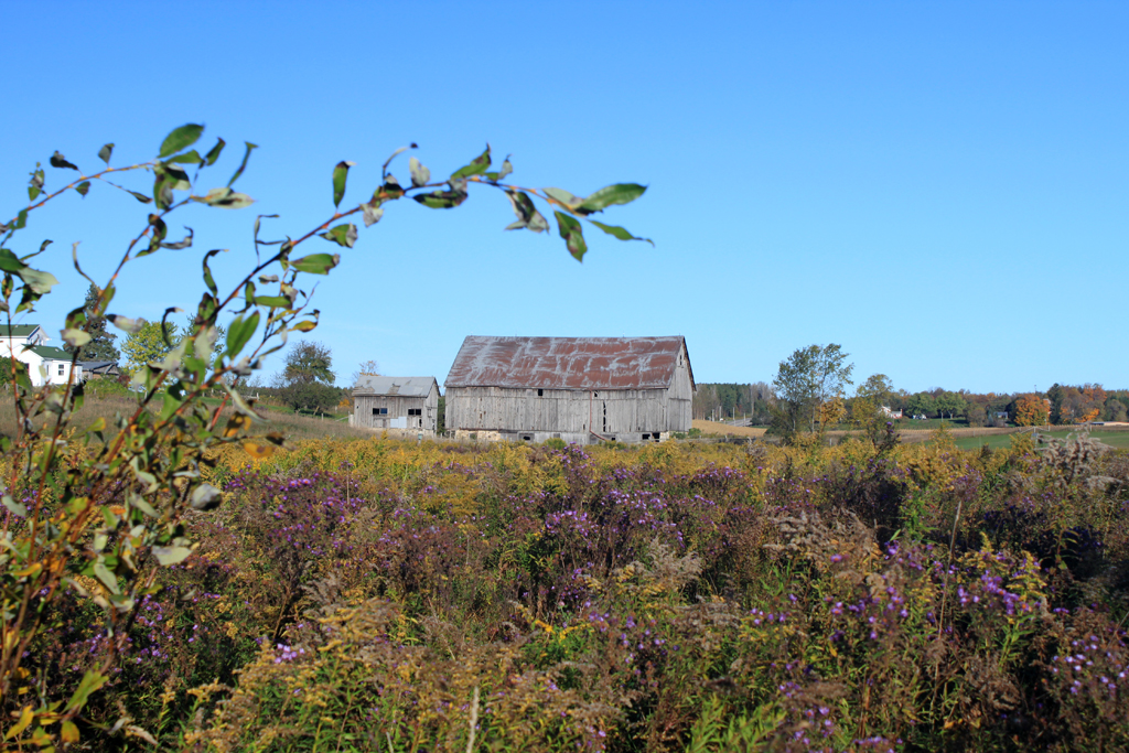
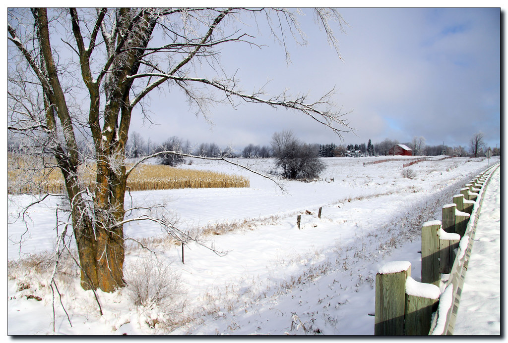
Snowy Barn
img 226

Mono Hills Provincial Park
img 239
Upper Canning

Reflections!
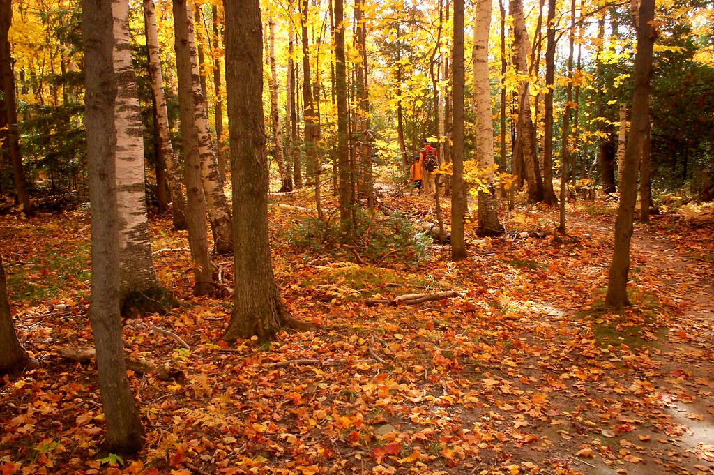
Pathway to Birch Hill.
At the Narrows #1
Looking Back
img 194
img 182
Mono Hills Provincial Park
img 191
Topographic Map of Dunby Rd, Mono, ON L9W 3V1, Canada
Find elevation by address:

Places near Dunby Rd, Mono, ON L9W 3V1, Canada:
Mono
4 Line East
Mono Centre
714503 1st Line Ehs
875527 5 Line E
875527 5 Line E
833401 4 Line E
674383 Hurontario St
2 Line E, Orangeville, ON L9W 2Z2, Canada
Hurontario Street
833329 4 Line E
Side Rd 10, Orangeville, ON L9W 2Z1, Canada
247319 5th Sideroad
715156 1st Line Ehs
833201 4 Line E
934499 Airport Rd
933460 Airport Rd
633520 On-10
875527 5 Line E
875527 5 Line E
Recent Searches:
- Elevation of Tenjo, Cundinamarca, Colombia
- Elevation of Côte-des-Neiges, Montreal, QC H4A 3J6, Canada
- Elevation of Bobcat Dr, Helena, MT, USA
- Elevation of Zu den Ihlowbergen, Althüttendorf, Germany
- Elevation of Badaber, Peshawar, Khyber Pakhtunkhwa, Pakistan
- Elevation of SE Heron Loop, Lincoln City, OR, USA
- Elevation of Slanický ostrov, 01 Námestovo, Slovakia
- Elevation of Spaceport America, Co Rd A, Truth or Consequences, NM, USA
- Elevation of Warwick, RI, USA
- Elevation of Fern Rd, Whitmore, CA, USA