Elevation of Duke Dr, Farmville, NC, USA
Location: United States > North Carolina > Pitt County > Farmville > Farmville >
Longitude: -77.581144
Latitude: 35.602742
Elevation: 18m / 59feet
Barometric Pressure: 101KPa
Elevation Map:
Satellite Map:
Related Photos:

view across the dance floor

first view of the reception hall

a good view to watch the limo
FullSizeRender (1)
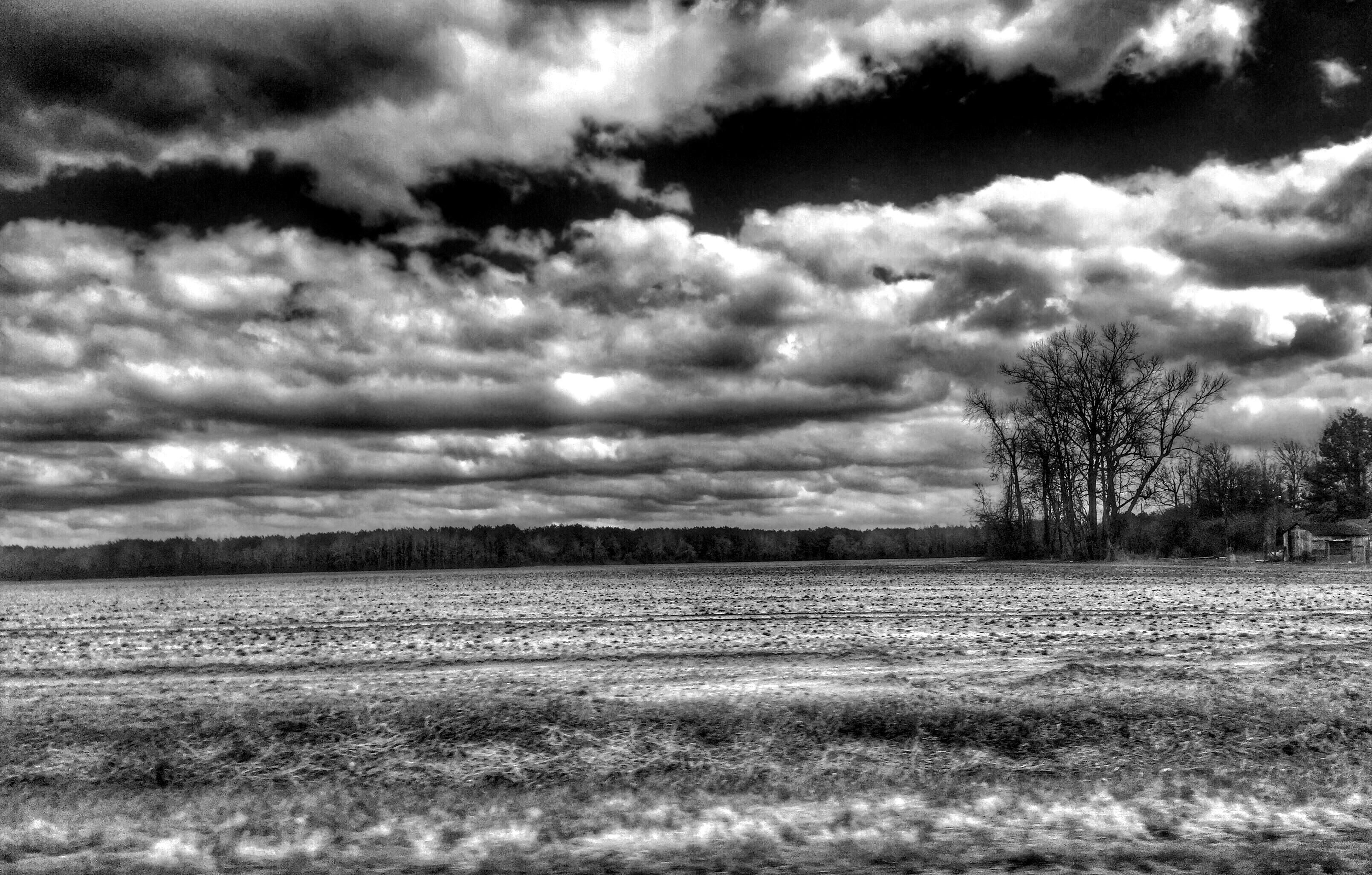
U.S. 264, Pitt Co.
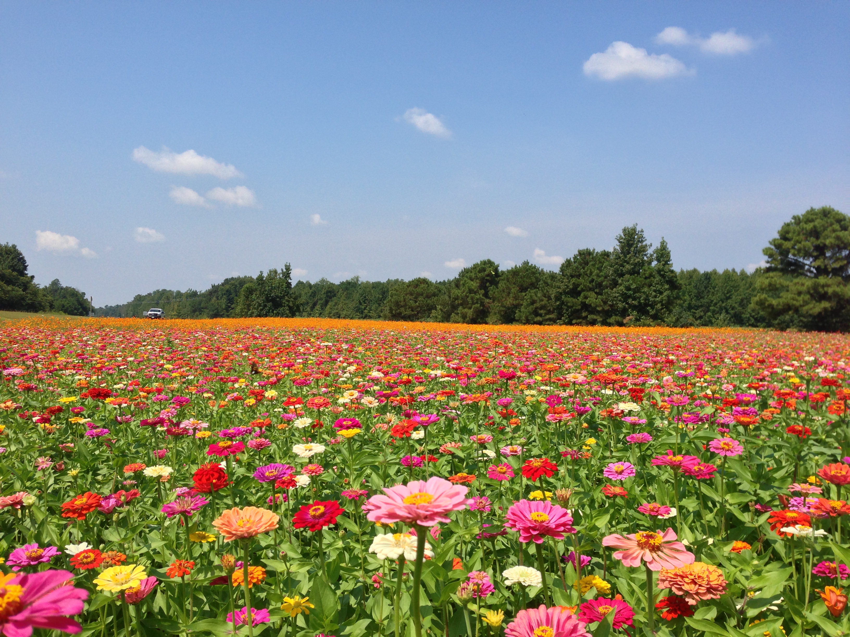
May 2013 - Farmville
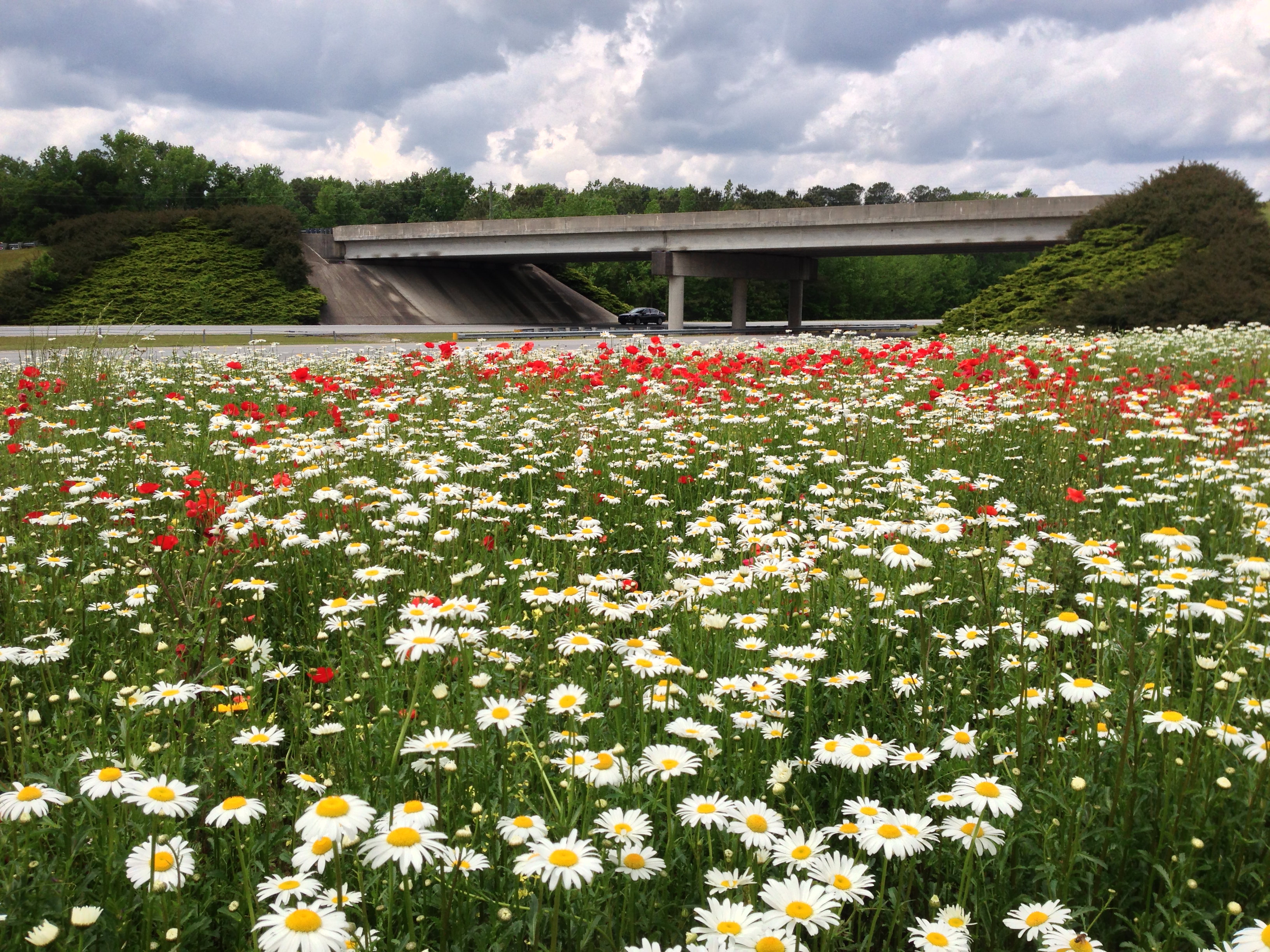
May 2013 - Greenville

Ironwood Swamp
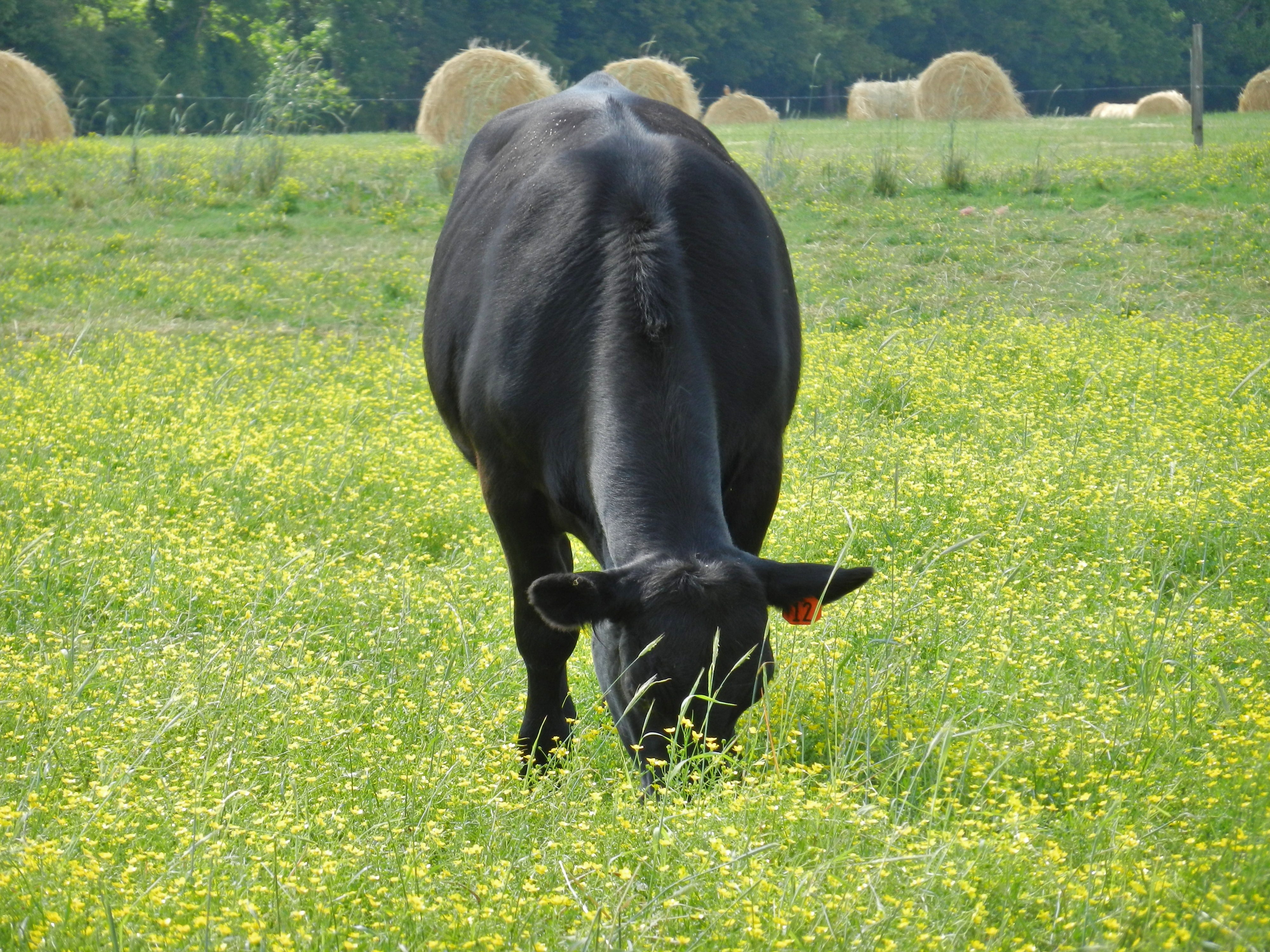
Angus Cow
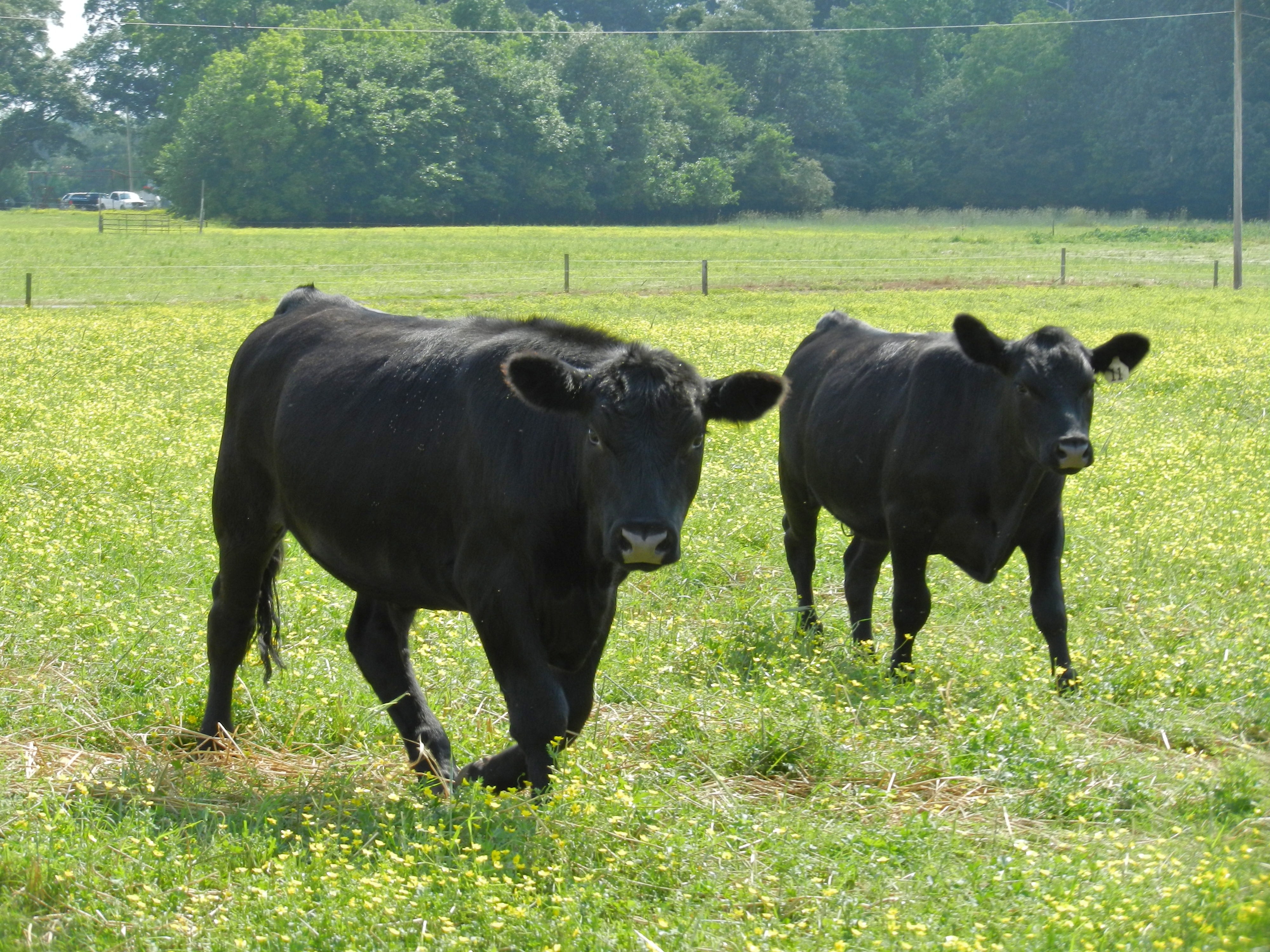
Angus Cattle
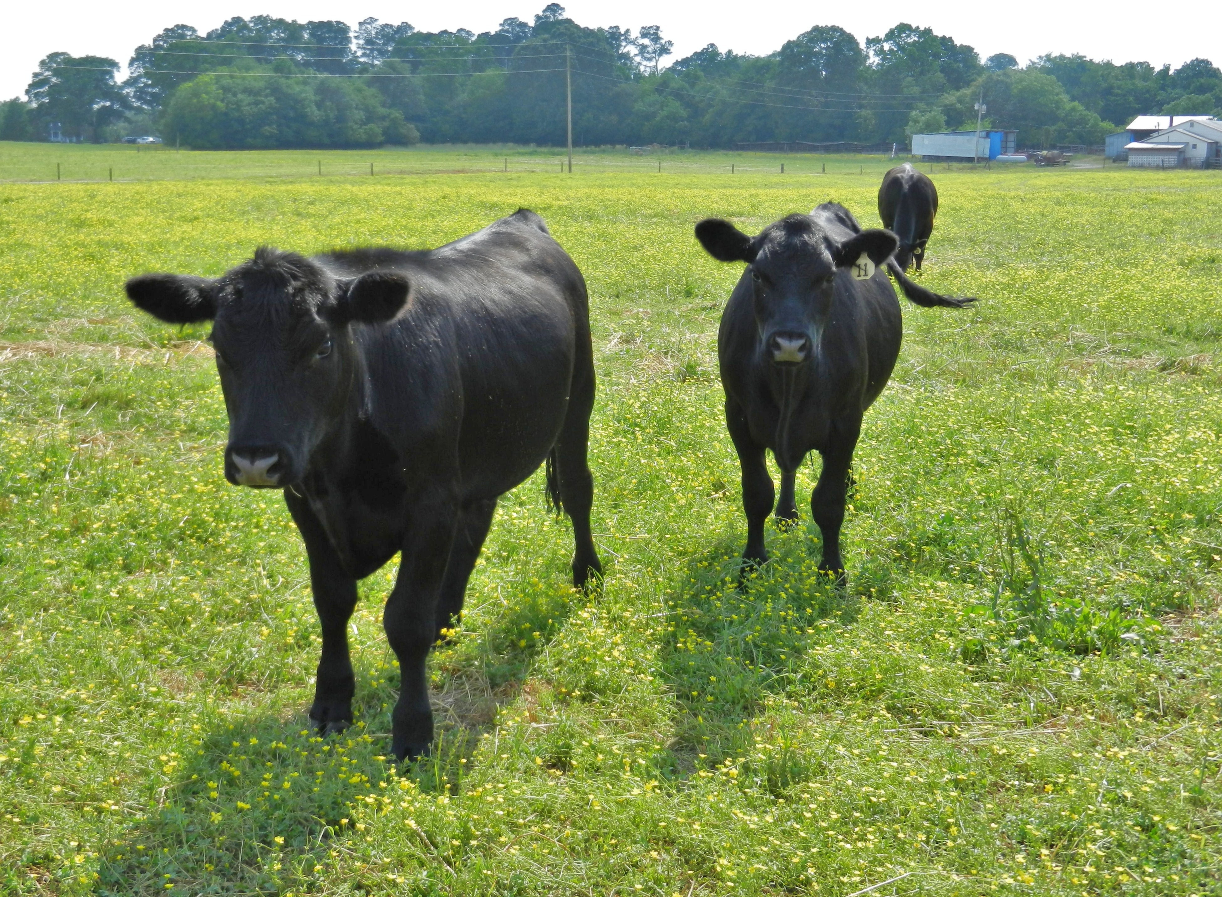
Angus Cattle
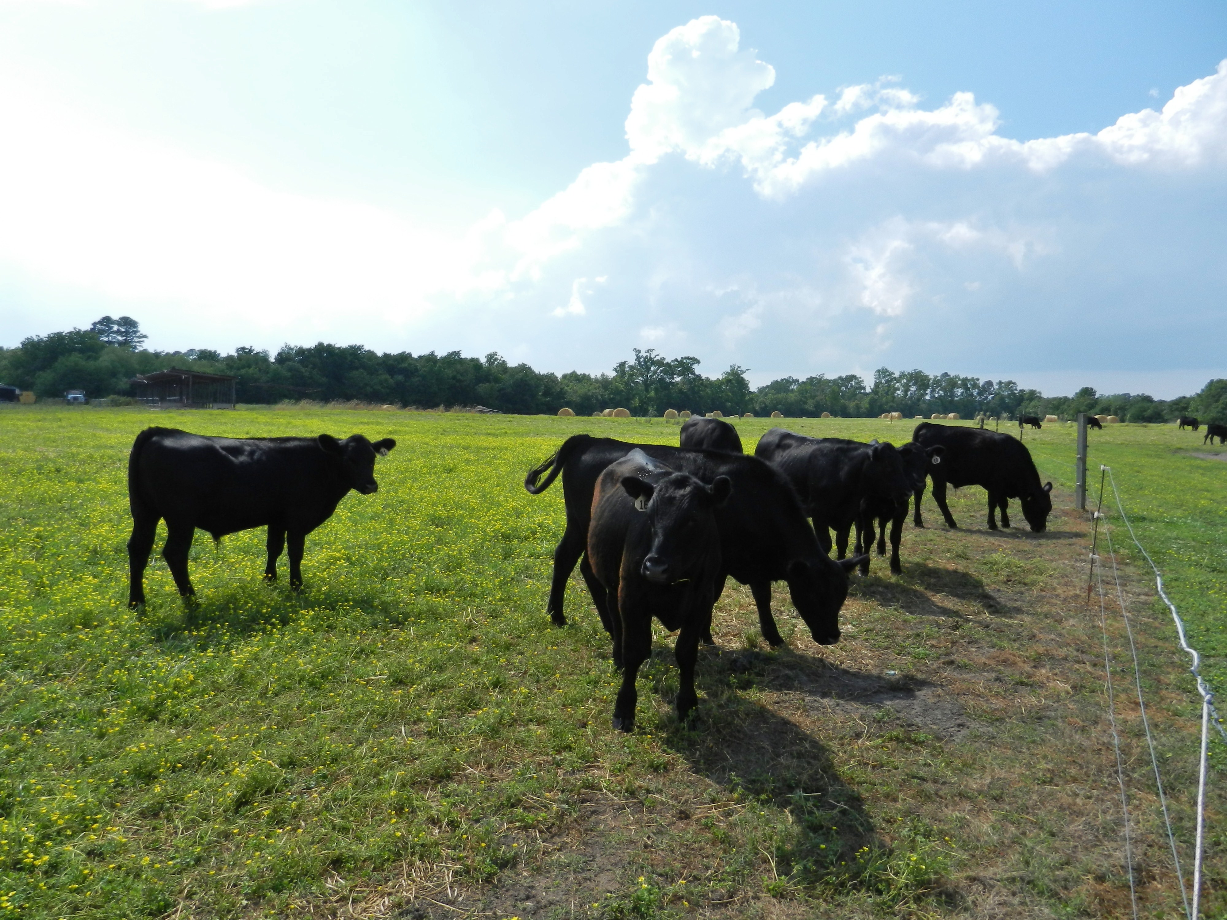
Angus Cattle

Morning Fog
Topographic Map of Duke Dr, Farmville, NC, USA
Find elevation by address:

Places near Duke Dr, Farmville, NC, USA:
3235 Duke Dr
Farmville
7063 Stantonsburg Rd
Nicks Nook, Farmville, NC, USA
Farmville
Bruce Strickland Rd, Farmville, NC, USA
105 Lewis Store Rd
Lewis Store Rd, Farmville, NC, USA
425 Dunwoody Rd
Falkland
Arthur
Fountain
US-13, Farmville, NC, USA
Carrs
1718 Oak Pointe Dr
NC-, Greenville, NC, USA
Chatham Way, Greenville, NC, USA
NC-91, Snow Hill, NC, USA
675 Jordan Dr
Huckleberry Lane
Recent Searches:
- Elevation of Shibuya Scramble Crossing, 21 Udagawacho, Shibuya City, Tokyo -, Japan
- Elevation of Jadagoniai, Kaunas District Municipality, Lithuania
- Elevation of Pagonija rock, Kranto 7-oji g. 8"N, Kaunas, Lithuania
- Elevation of Co Rd 87, Jamestown, CO, USA
- Elevation of Tenjo, Cundinamarca, Colombia
- Elevation of Côte-des-Neiges, Montreal, QC H4A 3J6, Canada
- Elevation of Bobcat Dr, Helena, MT, USA
- Elevation of Zu den Ihlowbergen, Althüttendorf, Germany
- Elevation of Badaber, Peshawar, Khyber Pakhtunkhwa, Pakistan
- Elevation of SE Heron Loop, Lincoln City, OR, USA