Elevation of Dugspur, VA, USA
Location: United States > Virginia > Carroll County >
Longitude: -80.609790
Latitude: 36.8179084
Elevation: 812m / 2664feet
Barometric Pressure: 92KPa
Elevation Map:
Satellite Map:
Related Photos:
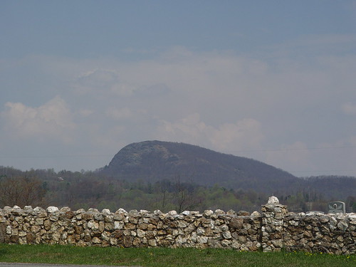
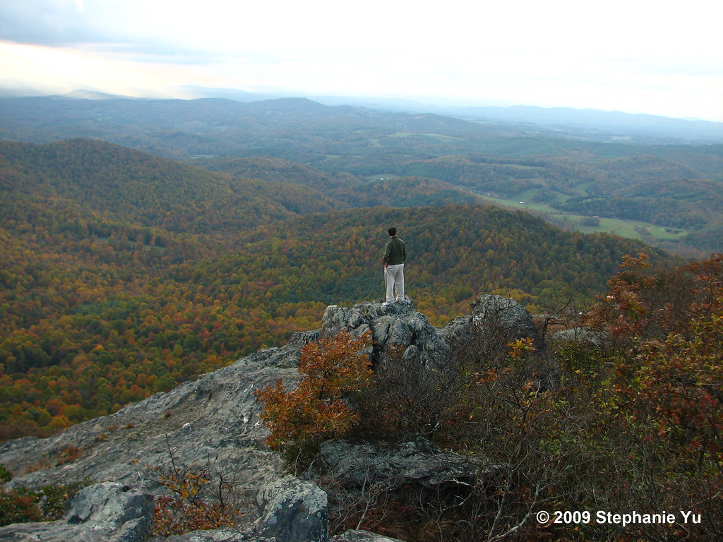
BUFFALO MOUNTAIN
Top of the World
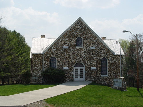
BUFFALO MTN. PRESBYTERIAN
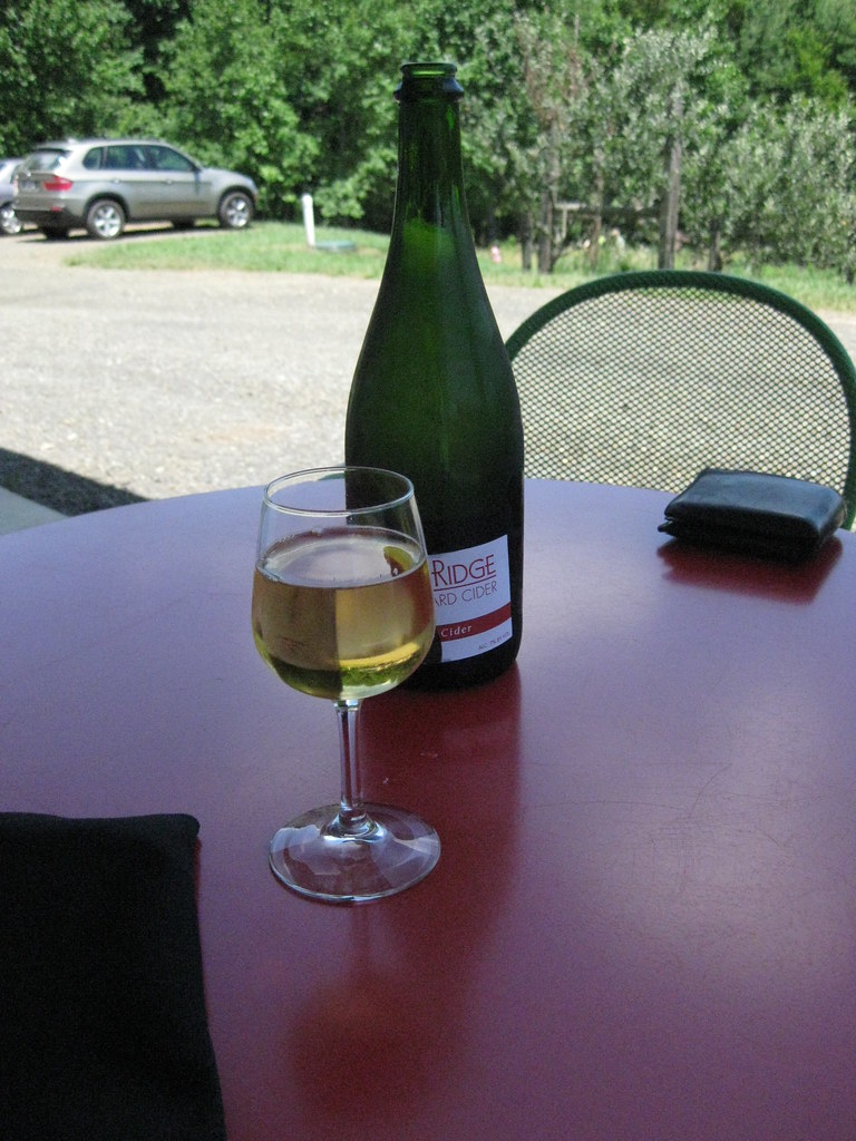
The view from my seat.
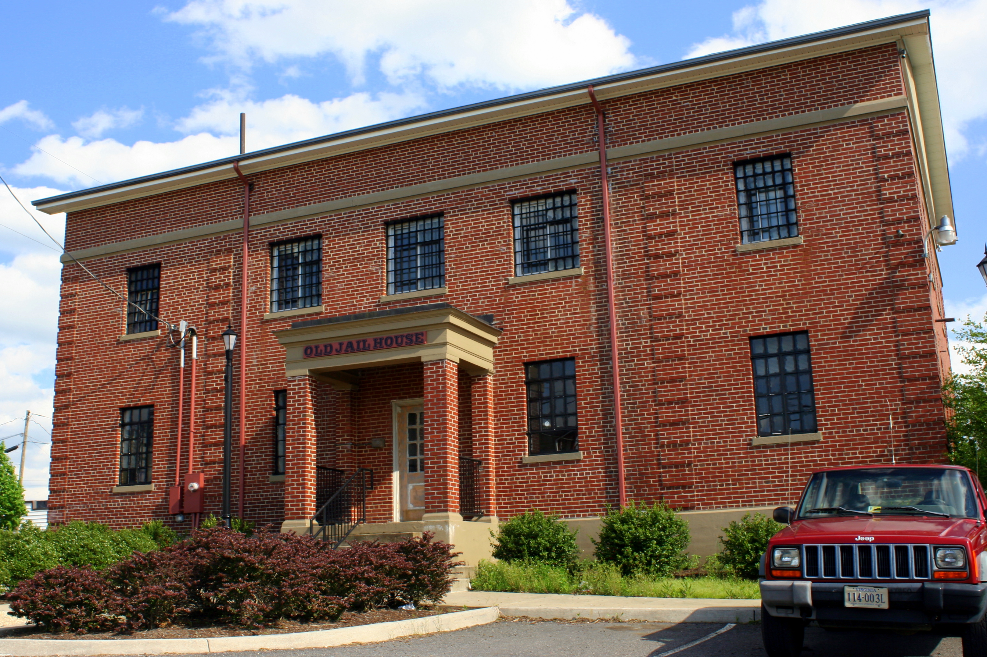
Old Carroll County Jail - Hillsville, VA
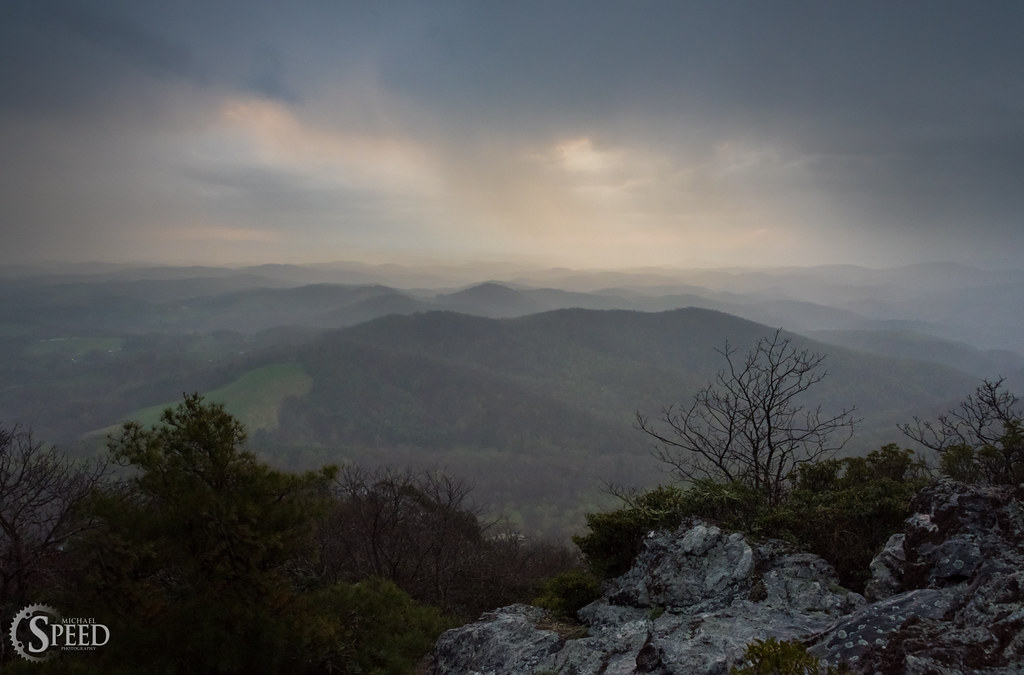
April Showers - Buffalo Mountain Natural Area
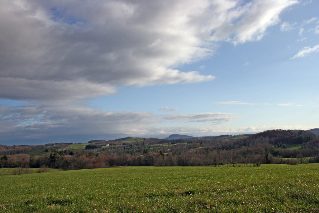
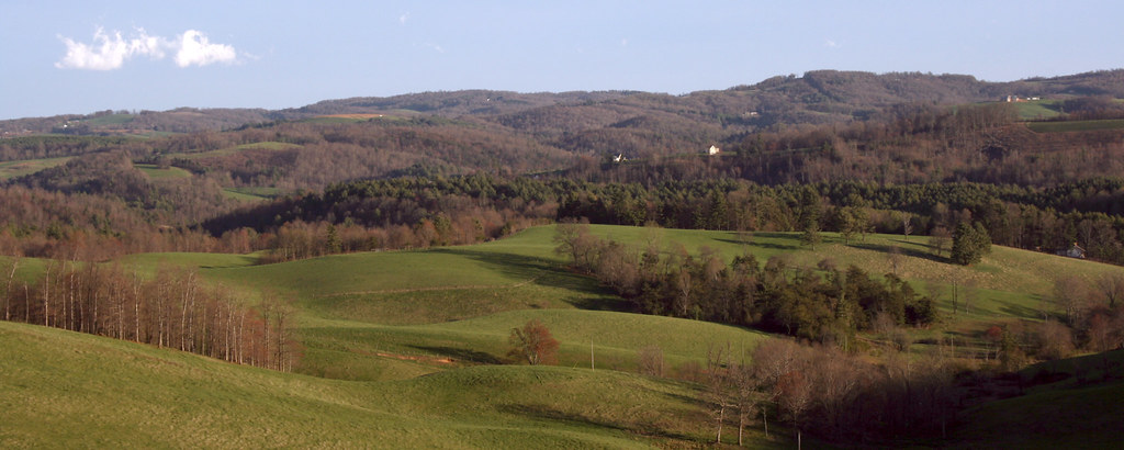
The Rolling Blue Ridge Mountians
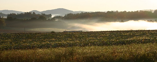
the morning fog
Fall colors
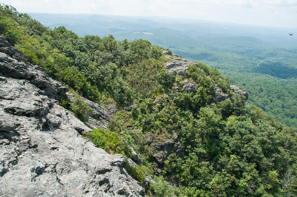
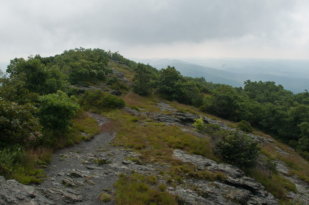
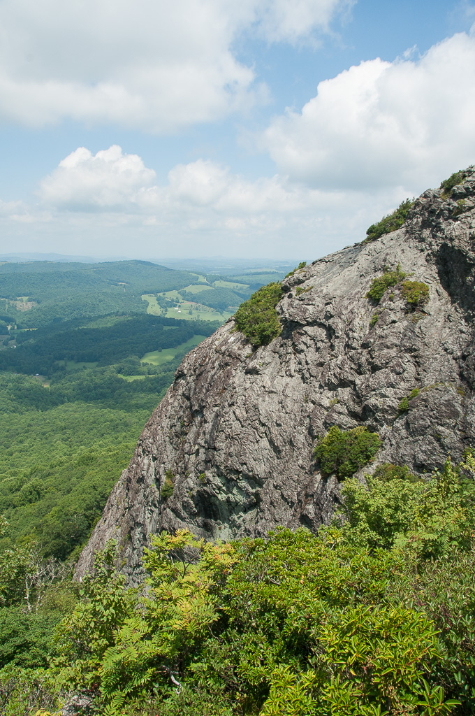
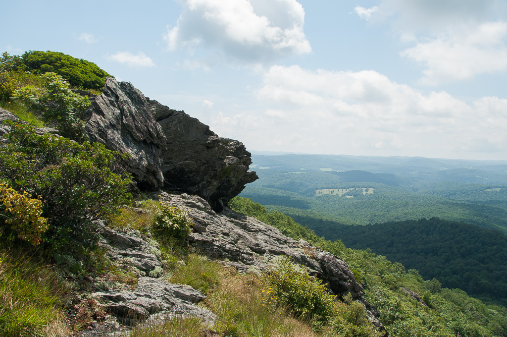
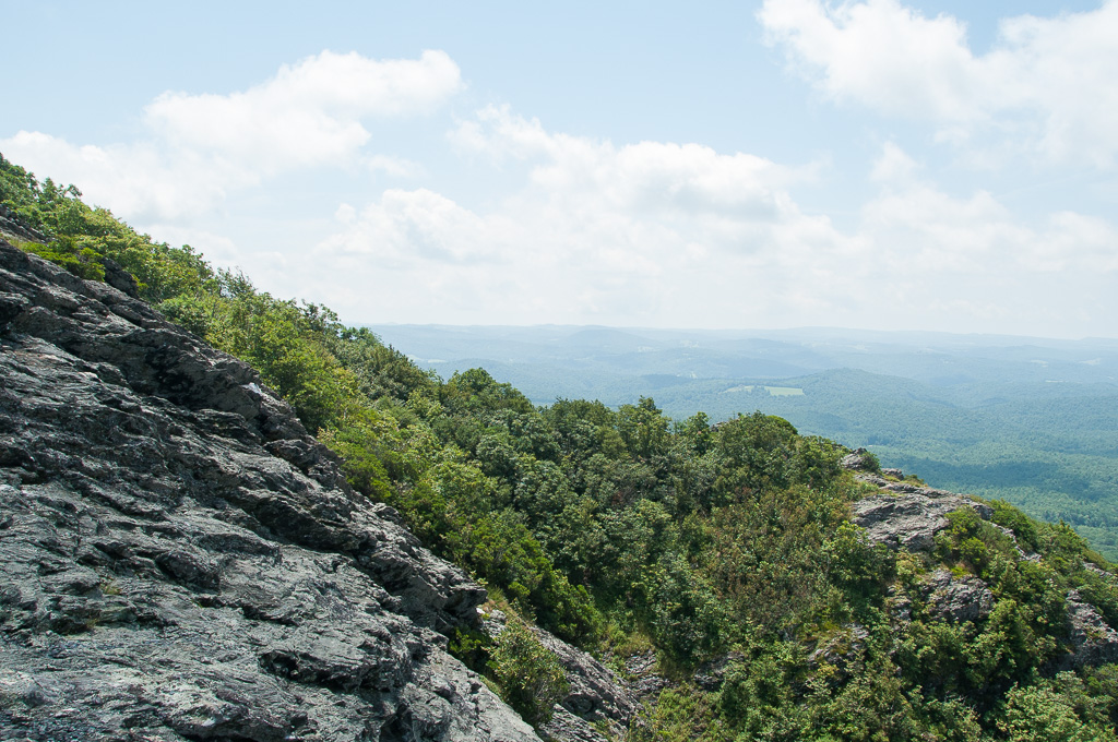
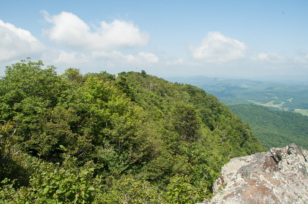
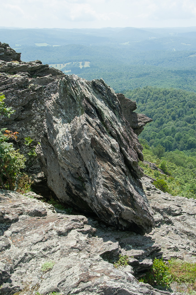
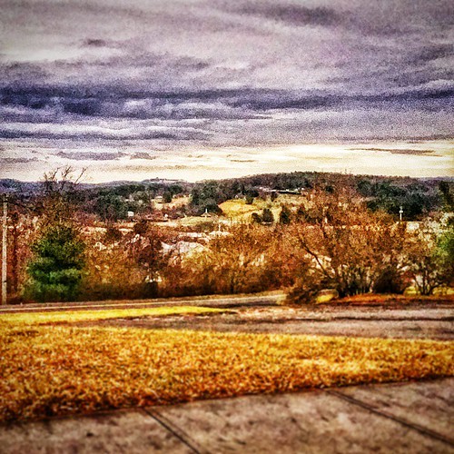
W4V/FC-005 - Buffalo Mtn View
W4V/FC-005 - Buffalo Mtn View

W4V/FC-005 - Buffalo Mtn View
W4V/FC-005 - Buffalo Mtn View

W4V/FC-005 - Buffalo Mtn View

W4V/FC-005 - Buffalo Mtn View
W4V/FC-005 - Buffalo Mtn View

W4V/FC-005 - Buffalo Mtn View
W4V/FC-005 - Buffalo Mtn View

W4V/FC-005 - Buffalo Mtn View
W4V/FC-005 - Buffalo Mtn View
W4V/FC-005 - Buffalo Mtn View
Hillsville, West Virginia. #theroadlesstraveled # landscape
Foggy Spring Day
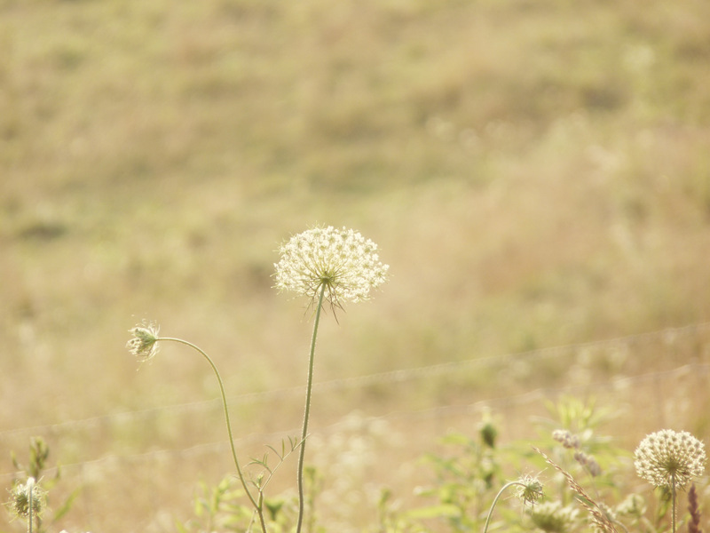
Queen Anne's Lace in the Meadow
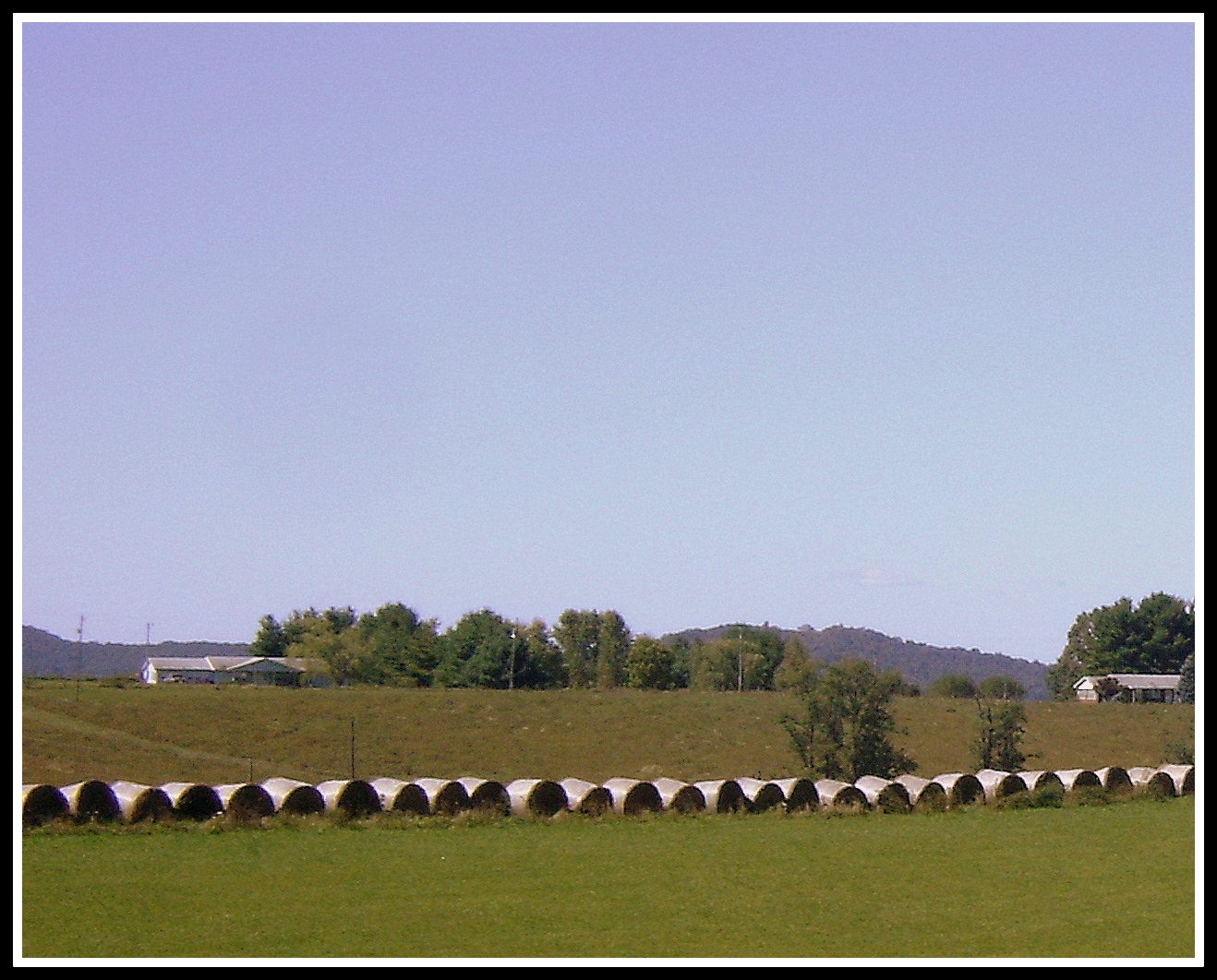
Hay Rolls, Fancy Gap Va, Carroll County

Buffalo Mountain Floyd, VA
Big Reed River

BUFFALO MOUNTAIN

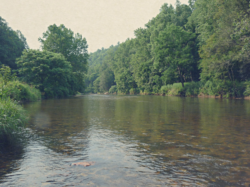
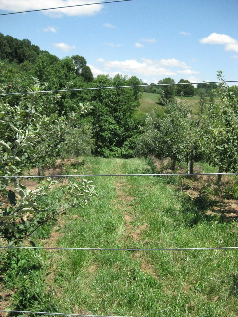
Stream in Dugspur, VA

BUFFALO MOUNTAIN
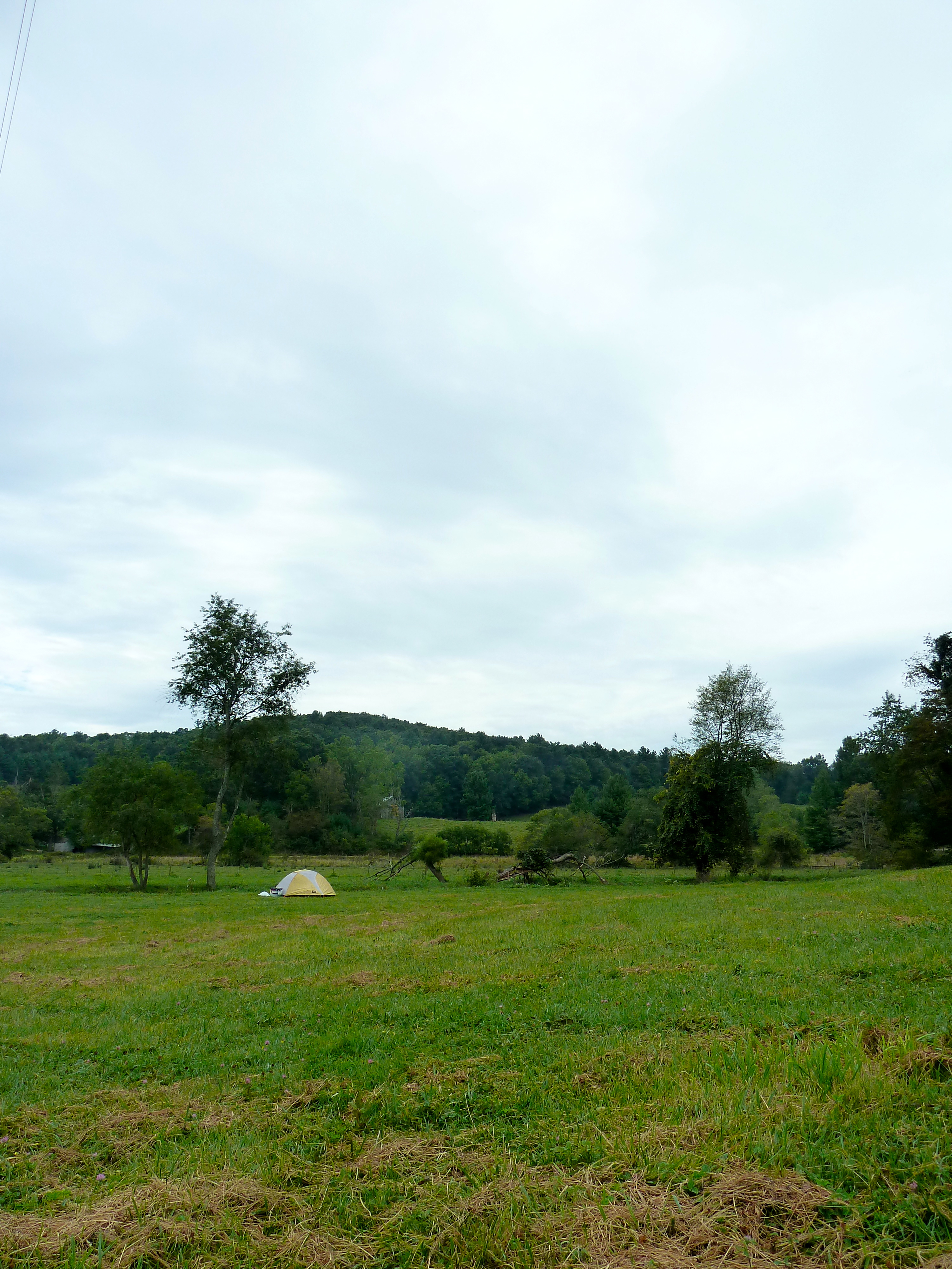
Camp Introvert at Antisocial Point
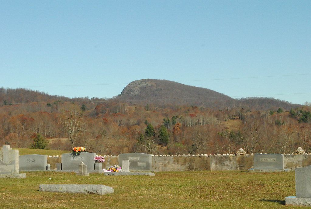
BUFFALO MOUNTAIN PRESBYTERIAN CEMETERY
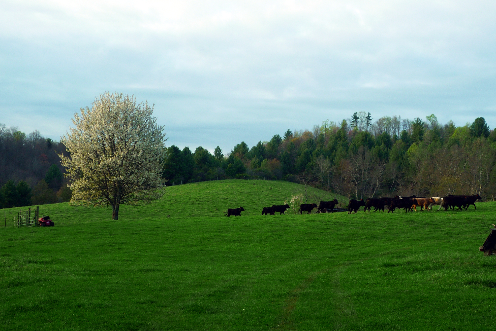
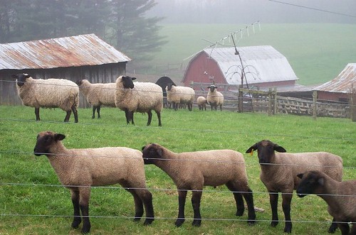
Morning Cows
All heirlooms. All individuals.
Topographic Map of Dugspur, VA, USA
Find elevation by address:

Places in Dugspur, VA, USA:
Lindsey Mill Road
Deepwater Road
Poplar Hill Road
Poplar Hill Road
Poplar Hill Road
Poplar Hill Drive
Poplar Hill Drive
Deepwater Road
Deepwater Road
Deepwater Road
Places near Dugspur, VA, USA:
886 Double Cabin Rd
Poplar Hill Road
Poplar Hill Road
Poplar Hill Road
1745 Hunters Ridge Rd
102 Harbor Ln
1346 State Rd 624
87 Journey Ln
Poplar Hill Drive
Poplar Hill Drive
1181 Panther Creek Rd
513 Shemp Hollow Rd
Lindsey Mill Road
Big Reed Island Creek
341 Creekside Dr
155 Creekside Dr
95 Creekside Dr
672 Marian Rd
672 Marian Rd
88 Creekside Dr
Recent Searches:
- Elevation of Unnamed Road, Respublika Severnaya Osetiya — Alaniya, Russia
- Elevation of Verkhny Fiagdon, North Ossetia–Alania Republic, Russia
- Elevation of F. Viola Hiway, San Rafael, Bulacan, Philippines
- Elevation of Herbage Dr, Gulfport, MS, USA
- Elevation of Lilac Cir, Haldimand, ON N3W 2G9, Canada
- Elevation of Harrod Branch Road, Harrod Branch Rd, Kentucky, USA
- Elevation of Wyndham Grand Barbados Sam Lords Castle All Inclusive Resort, End of Belair Road, Long Bay, Bridgetown Barbados
- Elevation of Iga Trl, Maggie Valley, NC, USA
- Elevation of N Co Rd 31D, Loveland, CO, USA
- Elevation of Lindever Ln, Palmetto, FL, USA