Elevation of Dudipat Lake, Pakistan
Location: Pakistan > Khyber Pakhtunkhwa > Manshera > Balakot Tehsil >
Longitude: 74.090226
Latitude: 35.0185981
Elevation: 3897m / 12785feet
Barometric Pressure: 62KPa
Elevation Map:
Satellite Map:
Related Photos:
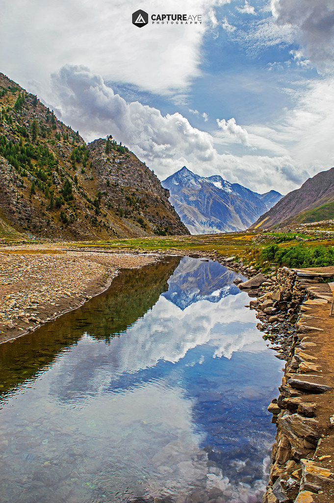
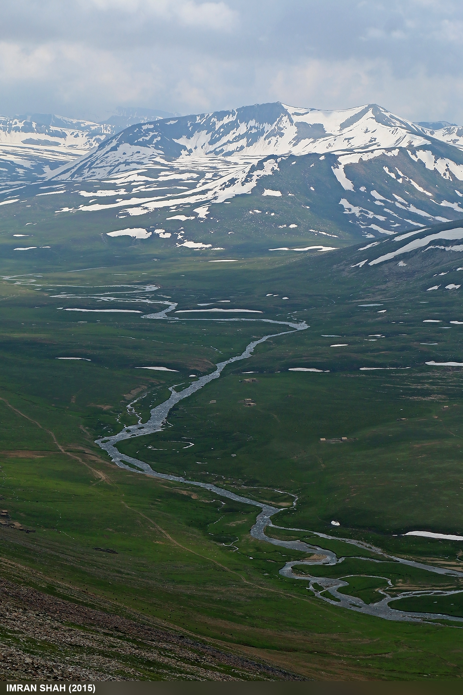
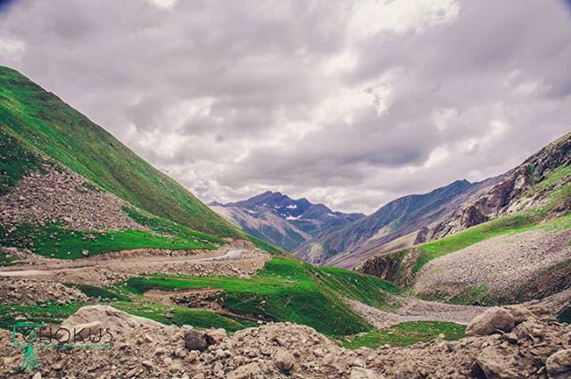
Malika Parbat View
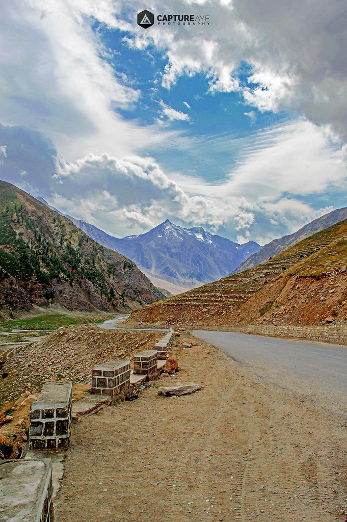
Malika Parbat View

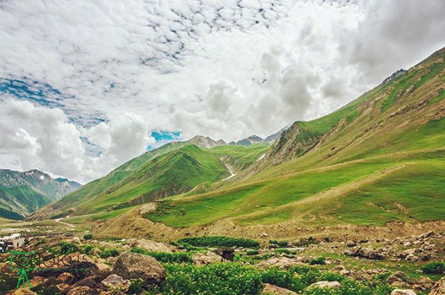
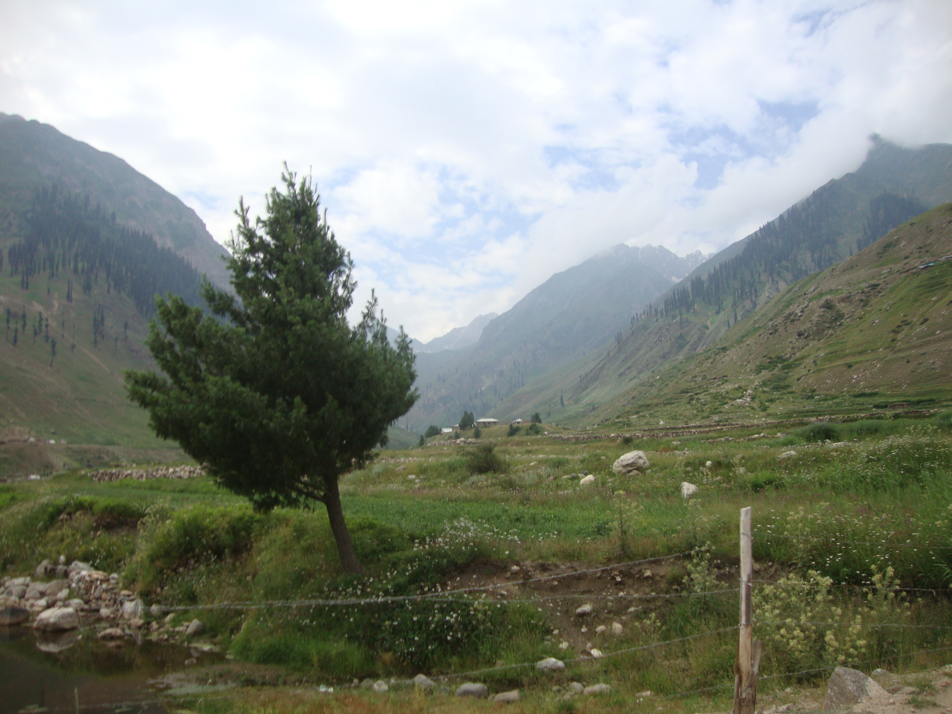
Kaghan Valley, Pakistan
Bliss. Besal, Kyber Pakhtunkhwa. #Entouragetonorth #Pakistan

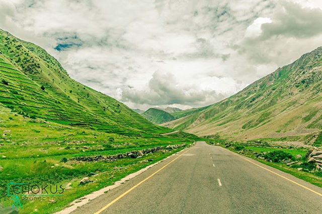
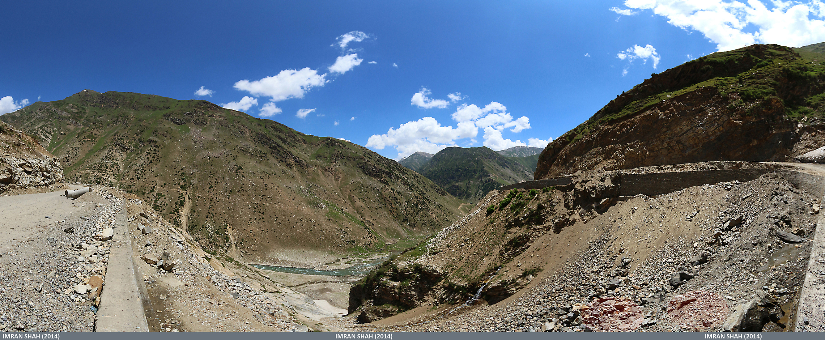
Babusar Pass, Pakistan
Kaghan Valley, Pakistan

Babusar, Pakistan
Babusar, Diamer, Gilgit-Baltistan, Pakistan

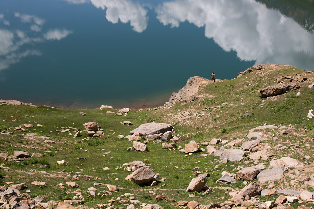
Lulusar Lake, Pakistan
Road to Babusar Pass. Besal, Kyber Pakhtunkhwa. #Entouragetonorth #Pakistan
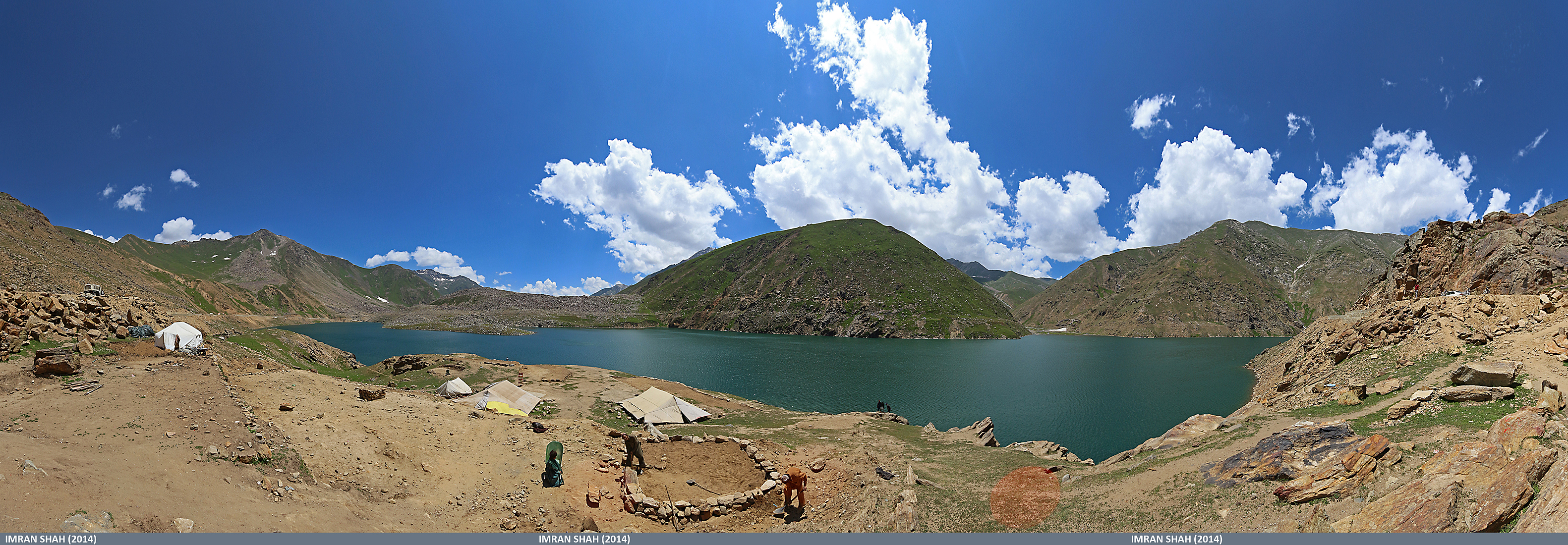
Lulusar Lake, Babusar in Gilgit-Baltistan, Pakistan
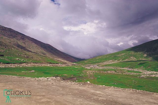
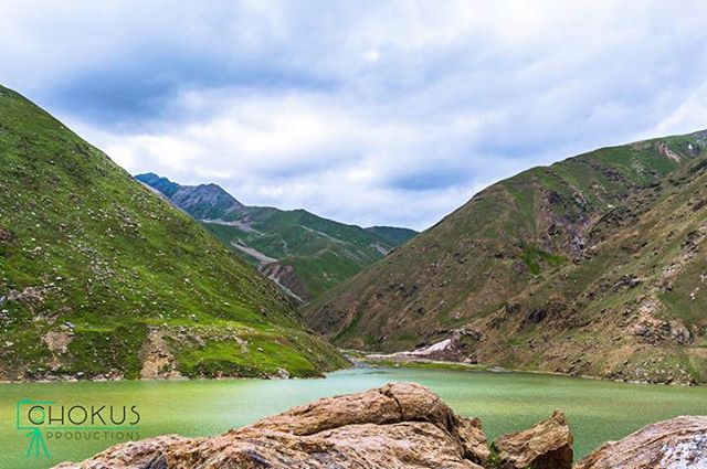
Grass is still green on the other side. Lulusar-Dudipatsar National Park, Kyber Pakhtunkhwa. #Entouragetonorth #Pakistan
Èpoustouflant. Lulusar-Dudipatsar National Park, Kyber Pakhtunkhwa. #Entouragetonorth #Pakistan

Babusar Top (July 2014) in Gilgit-Baltistan, Pakistan
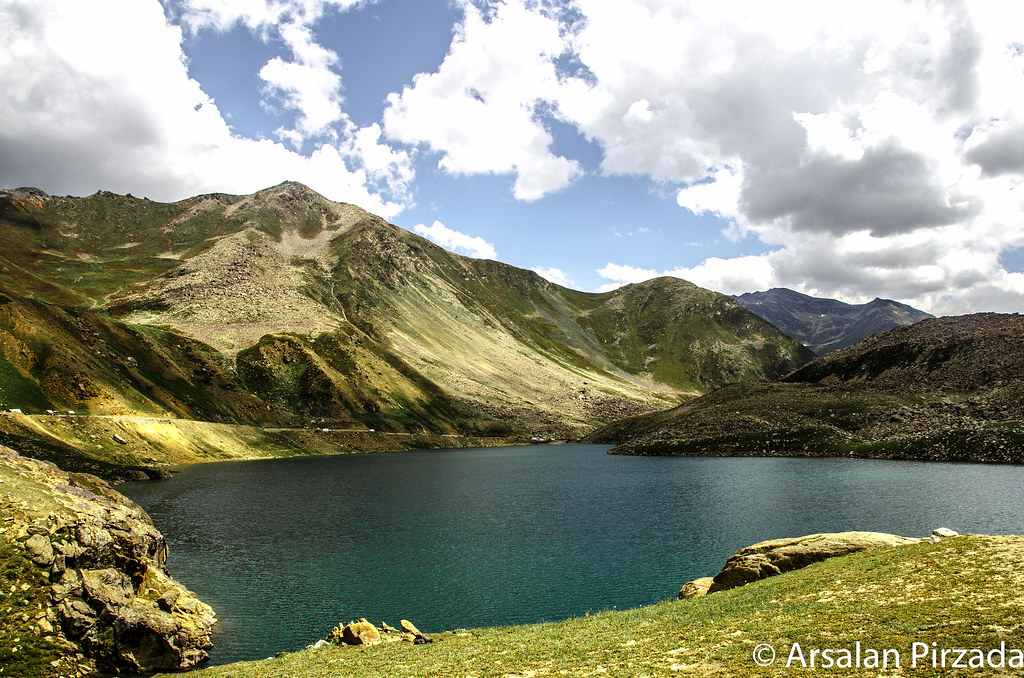
Lake Lulu Sar, Pakistan
Babusar Top (July 2014) in Gilgit-Baltistan, Pakistan
Lulusar lake, the starting point of river kunhar. Lulusar, Kyber Pakhtunkhwa. #Entouragetonorth #Pakistan
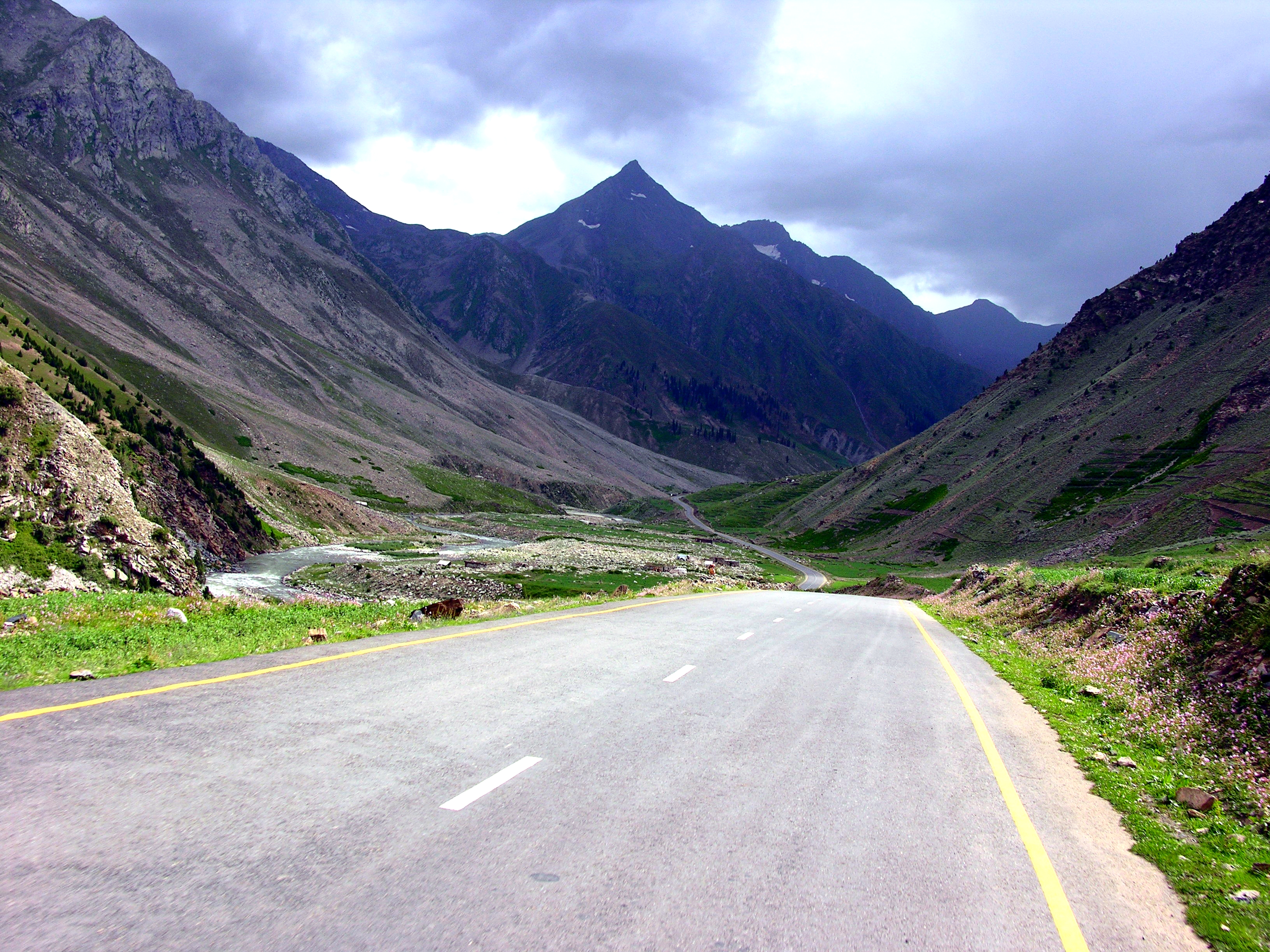
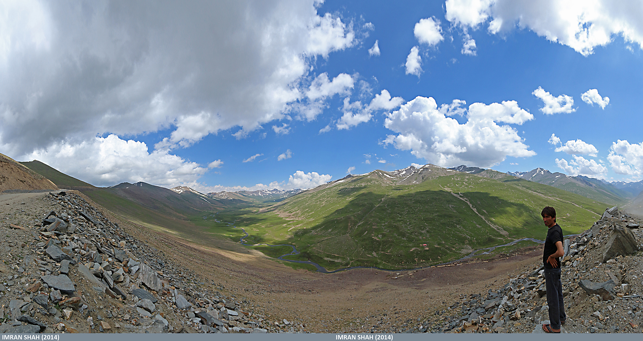
Beautiful Raod from Naran to Jalkhad
Babusar Top (July 2014) in Gilgit-Baltistan, Pakistan
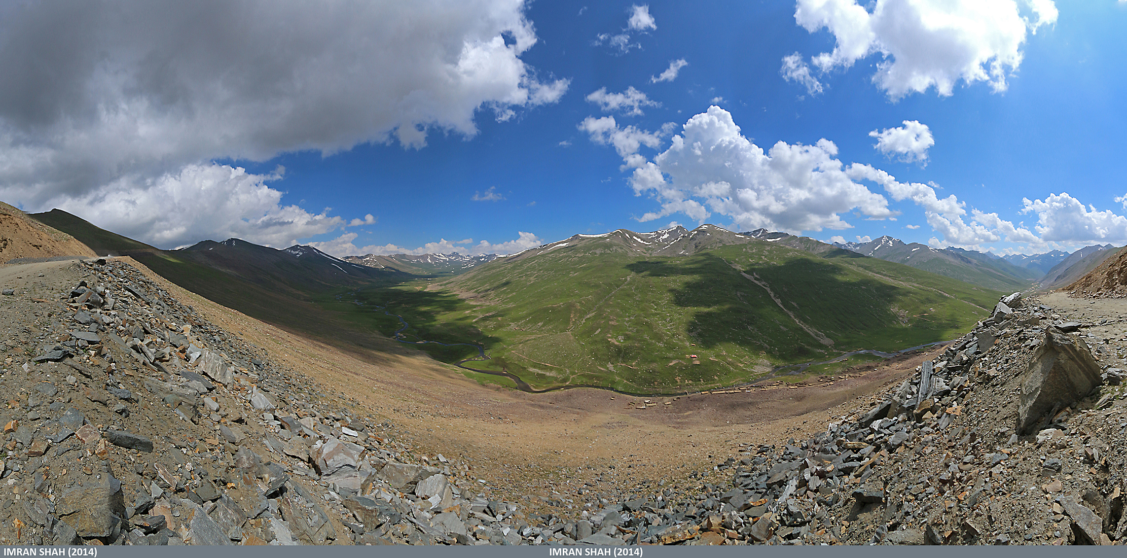
Road to Babusar Top in Gilgit-Baltistan, Pakistan
Lalazar - Naran - Pakistan
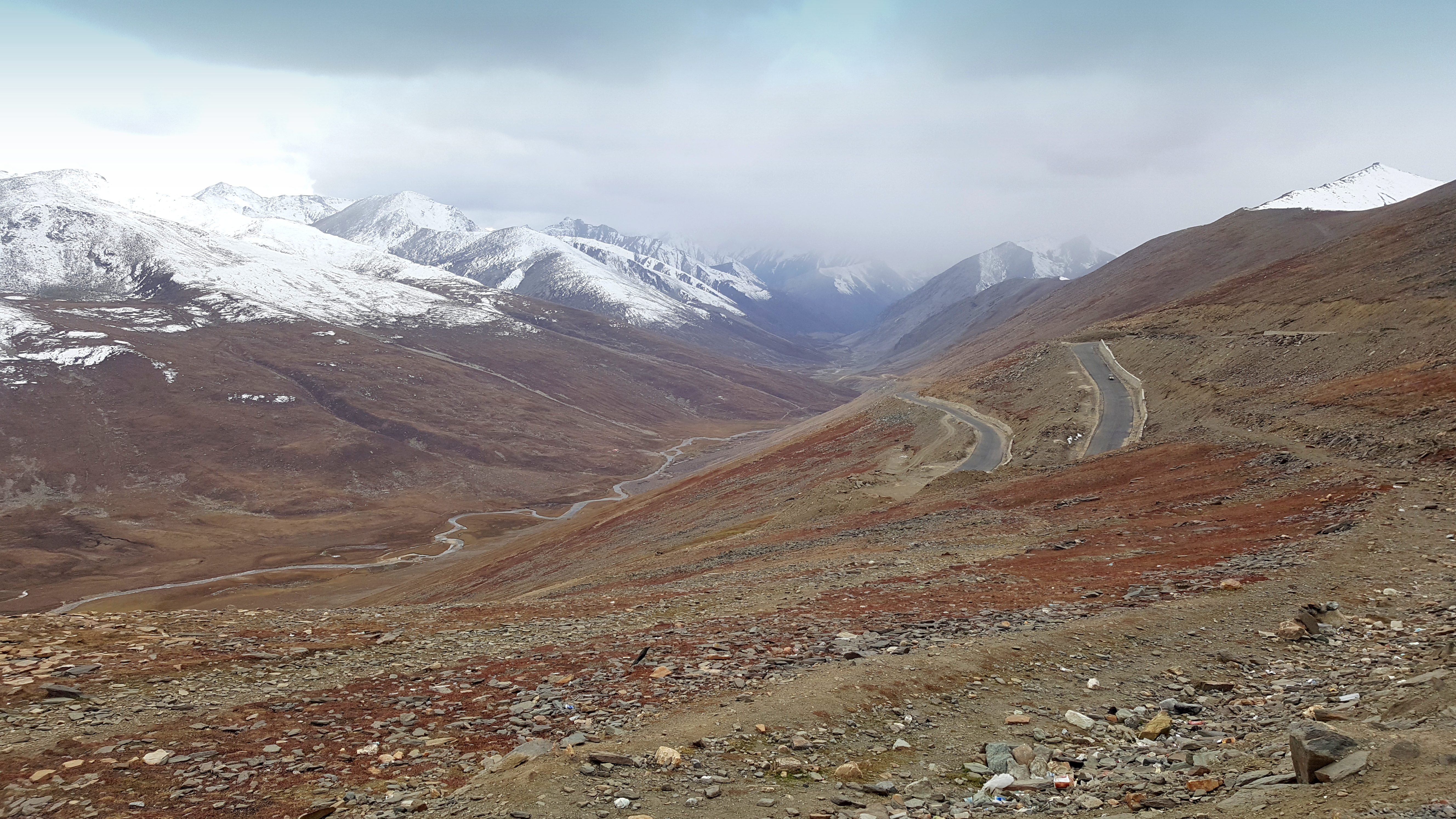
Babusar Pass
Topographic Map of Dudipat Lake, Pakistan
Find elevation by address:

Places near Dudipat Lake, Pakistan:
Saral Lake
Sambaksar Lake
Noori Top
Lulusar-dudipatsar National Park
Babusar Pass
Babusar Top, Naran
Lalazar Lake
Hans Raj Kala Sar
Gattian Lake
Ratti Gali Lake
Batakundi
Pine Top Resort Batakundi
Kel
Lalazar Road
Balakot Tehsil
Balakot
Chitta Katha
Saeed Hotel Naran
Saif-ul-maluk Lake
Chitta Katha Lake
Recent Searches:
- Elevation of Pykes Down, Ivybridge PL21 0BY, UK
- Elevation of Jalan Senandin, Lutong, Miri, Sarawak, Malaysia
- Elevation of Bilohirs'k
- Elevation of 30 Oak Lawn Dr, Barkhamsted, CT, USA
- Elevation of Luther Road, Luther Rd, Auburn, CA, USA
- Elevation of Unnamed Road, Respublika Severnaya Osetiya — Alaniya, Russia
- Elevation of Verkhny Fiagdon, North Ossetia–Alania Republic, Russia
- Elevation of F. Viola Hiway, San Rafael, Bulacan, Philippines
- Elevation of Herbage Dr, Gulfport, MS, USA
- Elevation of Lilac Cir, Haldimand, ON N3W 2G9, Canada