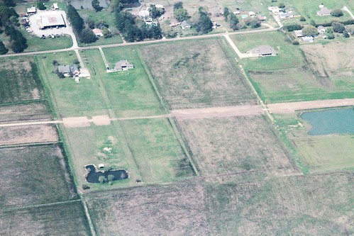
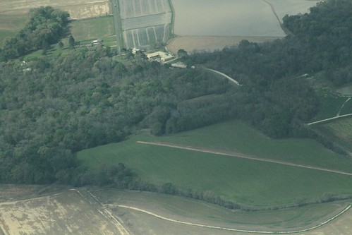
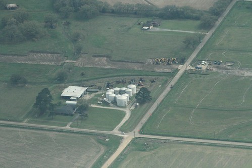
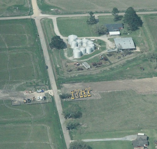
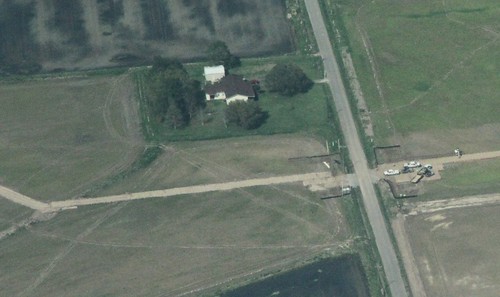
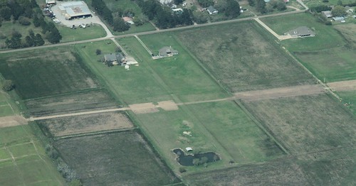
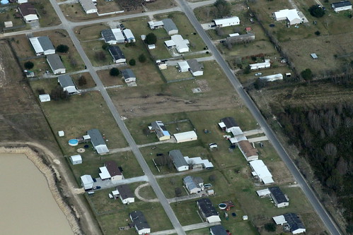
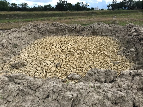
Elevation of Dubose Rd, Rayne, LA, USA
Location: United States > Louisiana > Acadia Parish > > Rayne >
Longitude: -92.258807
Latitude: 30.1096877
Elevation: 6m / 20feet
Barometric Pressure: 101KPa
Related Photos:
Topographic Map of Dubose Rd, Rayne, LA, USA
Find elevation by address:

Places near Dubose Rd, Rayne, LA, USA:
2936 Dubose Rd
801 La-700
5420 La-700
LA-, Kaplan, LA, USA
LA-, Kaplan, LA, USA
20310 Gib Rd
20310 Gib Rd
339 Monceaux Rd
Heritance Circle
2, LA, USA
Leroy Road
LA-, Maurice, LA, USA
2314 Wades Rd
311 Lakefront Dr
4, LA, USA
2534 La-343
147 Domingue Rd
2567 Abbeville Hwy
5529 Trailwood Rd
5802 Trailwood Rd
Recent Searches:
- Elevation of Shibuya Scramble Crossing, 21 Udagawacho, Shibuya City, Tokyo -, Japan
- Elevation of Jadagoniai, Kaunas District Municipality, Lithuania
- Elevation of Pagonija rock, Kranto 7-oji g. 8"N, Kaunas, Lithuania
- Elevation of Co Rd 87, Jamestown, CO, USA
- Elevation of Tenjo, Cundinamarca, Colombia
- Elevation of Côte-des-Neiges, Montreal, QC H4A 3J6, Canada
- Elevation of Bobcat Dr, Helena, MT, USA
- Elevation of Zu den Ihlowbergen, Althüttendorf, Germany
- Elevation of Badaber, Peshawar, Khyber Pakhtunkhwa, Pakistan
- Elevation of SE Heron Loop, Lincoln City, OR, USA


