Elevation of Dry Pond Rd, Allisonia, VA, USA
Location: United States > Virginia > Carroll County > Pine Creek >
Longitude: -80.690332
Latitude: 36.8763189
Elevation: 767m / 2516feet
Barometric Pressure: 92KPa
Elevation Map:
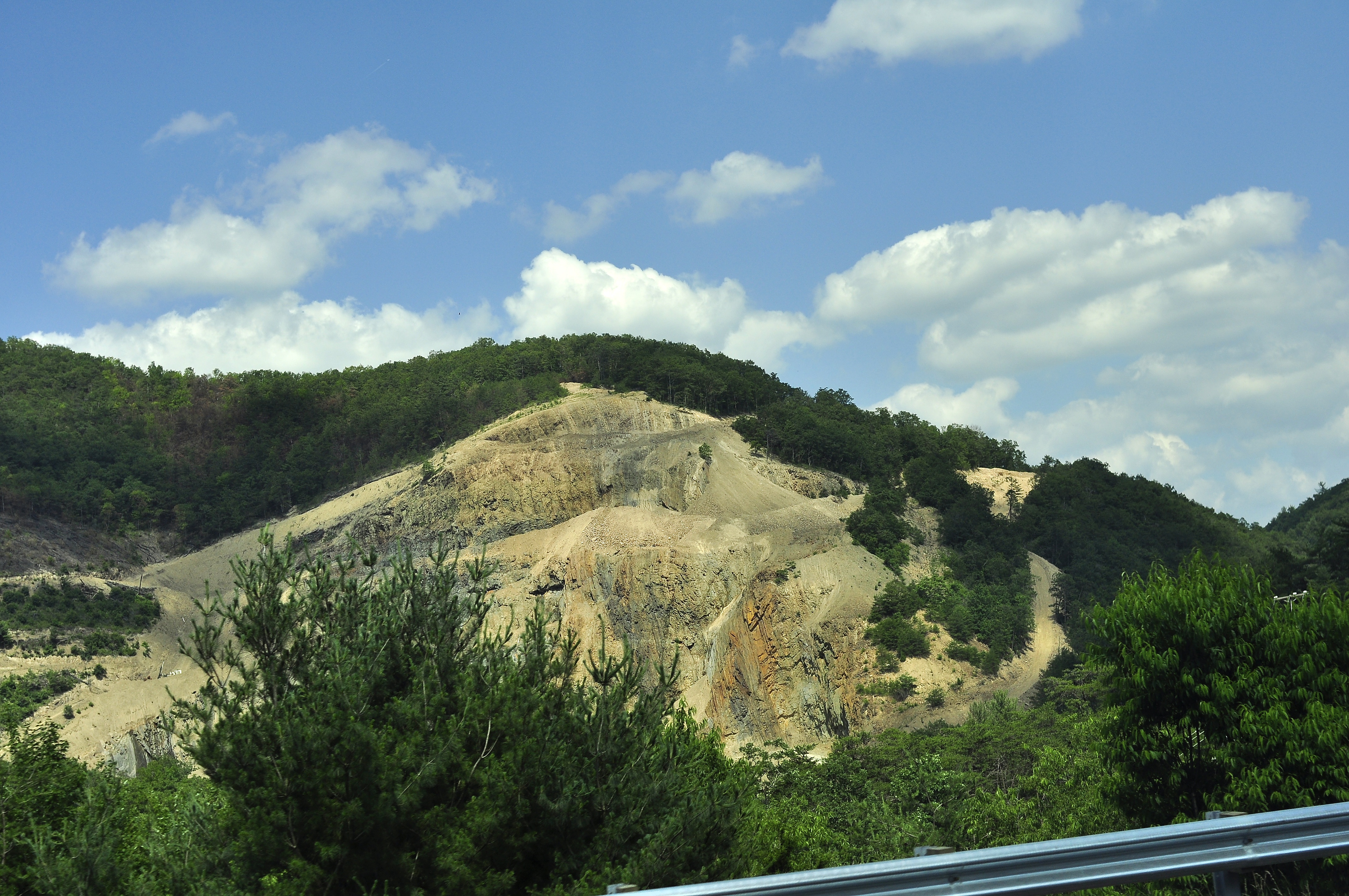
Satellite Map:
Related Photos:
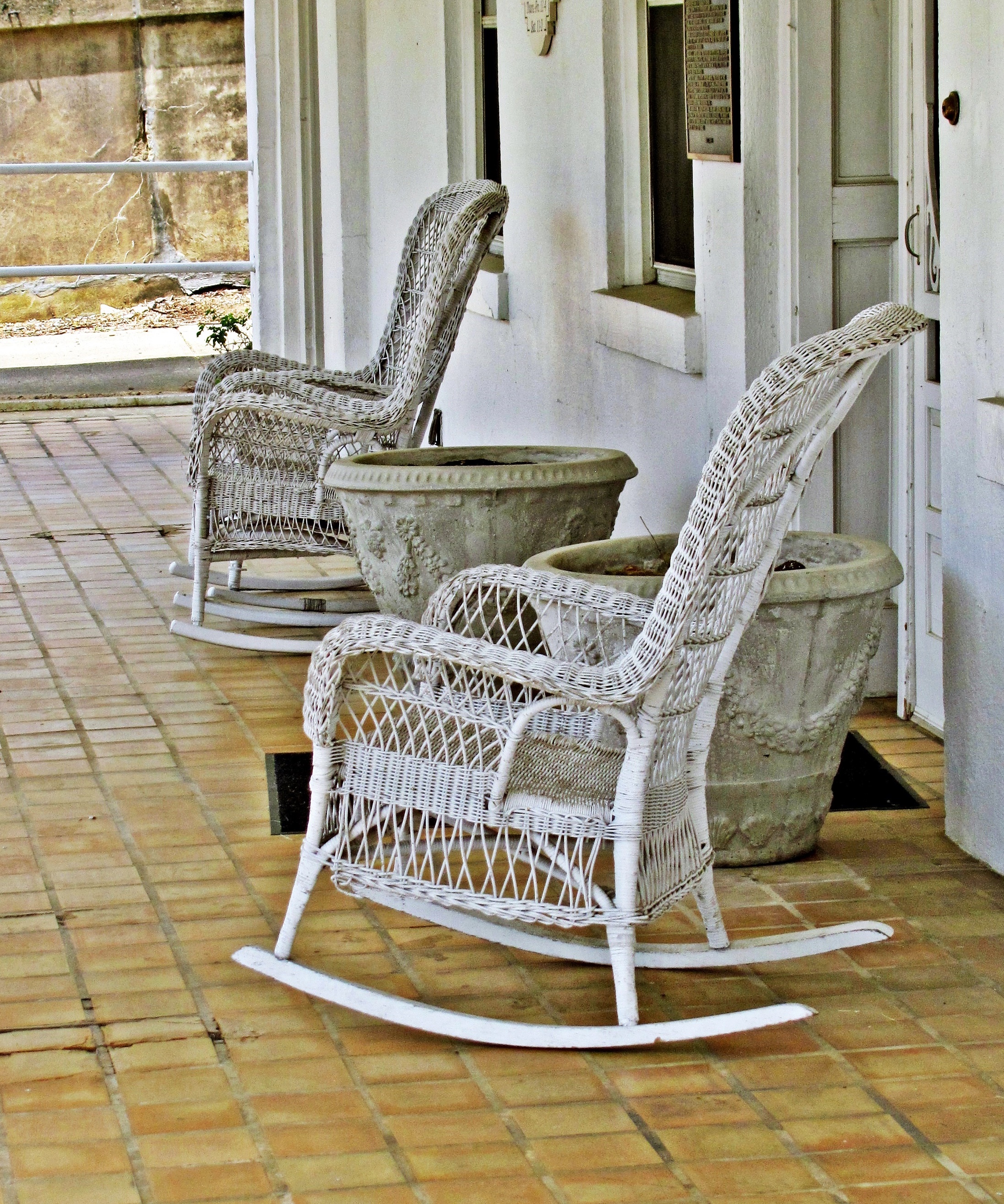
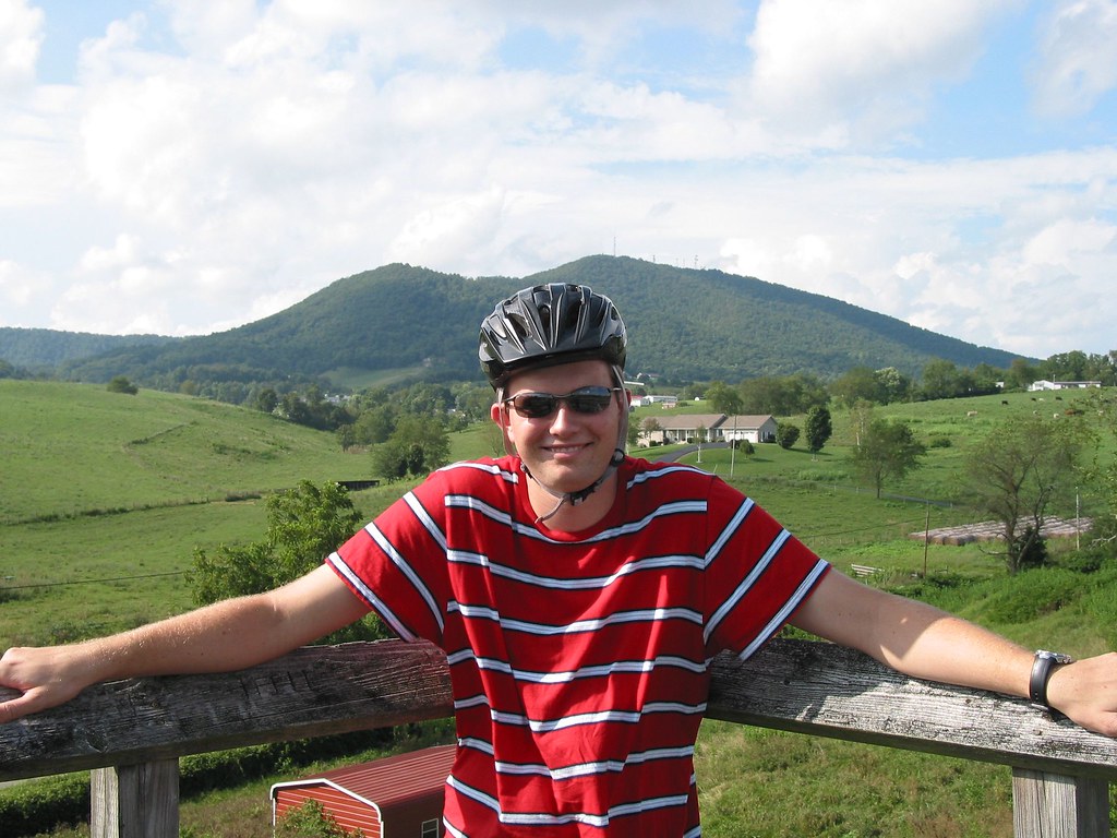
Wicker Rocking Chairs--Hale-Wilkinson-Carter Home, Hillsville, Va 10
View from Cobb House Bench
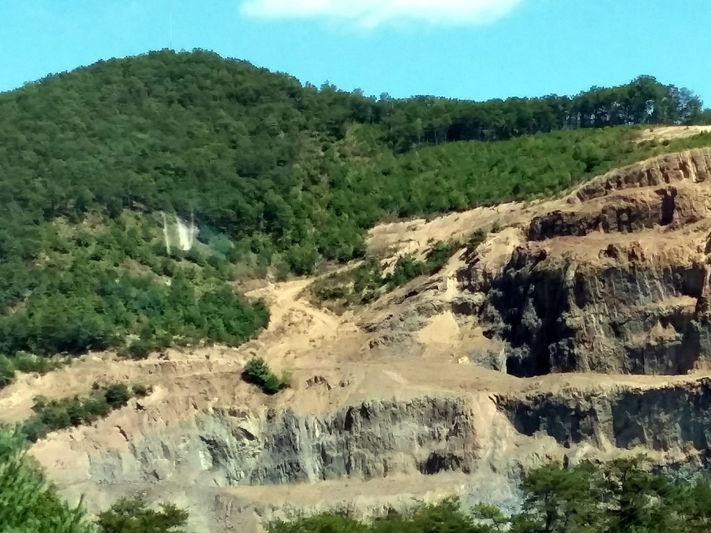
Shot Tower Historical State Park, Wythe County (Va.), 4 August 1978

Cobb house bench view
New River Trail State Park
New River Trail State Park
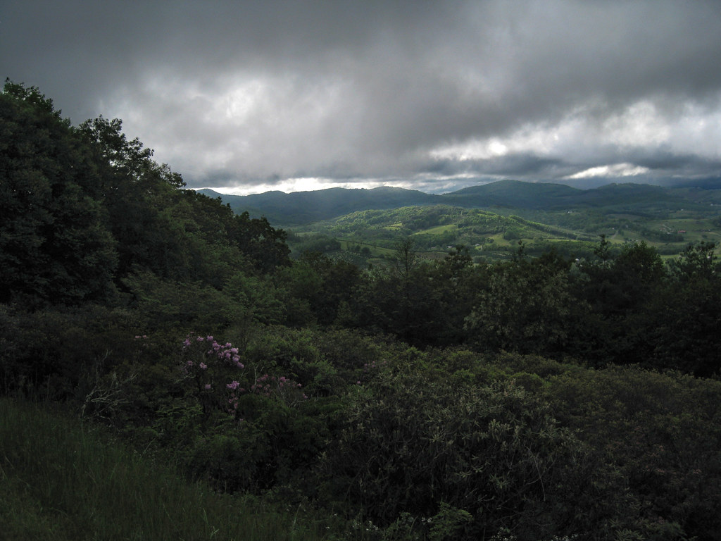
Blue Ridge Parkway View
What a nice view.
View from 1st Bridge

morning at foster falls

Jacob with the Flash Sloan Creek
Jacob at Sloan Creek Bridge
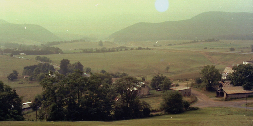
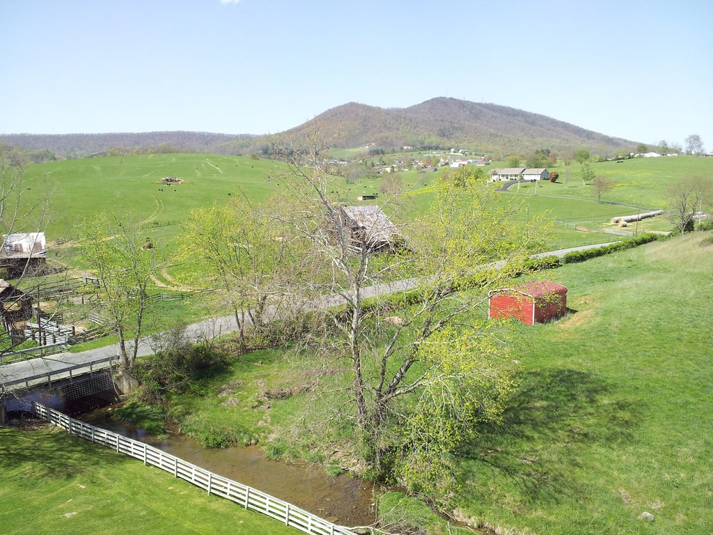
Virginia Countryside.
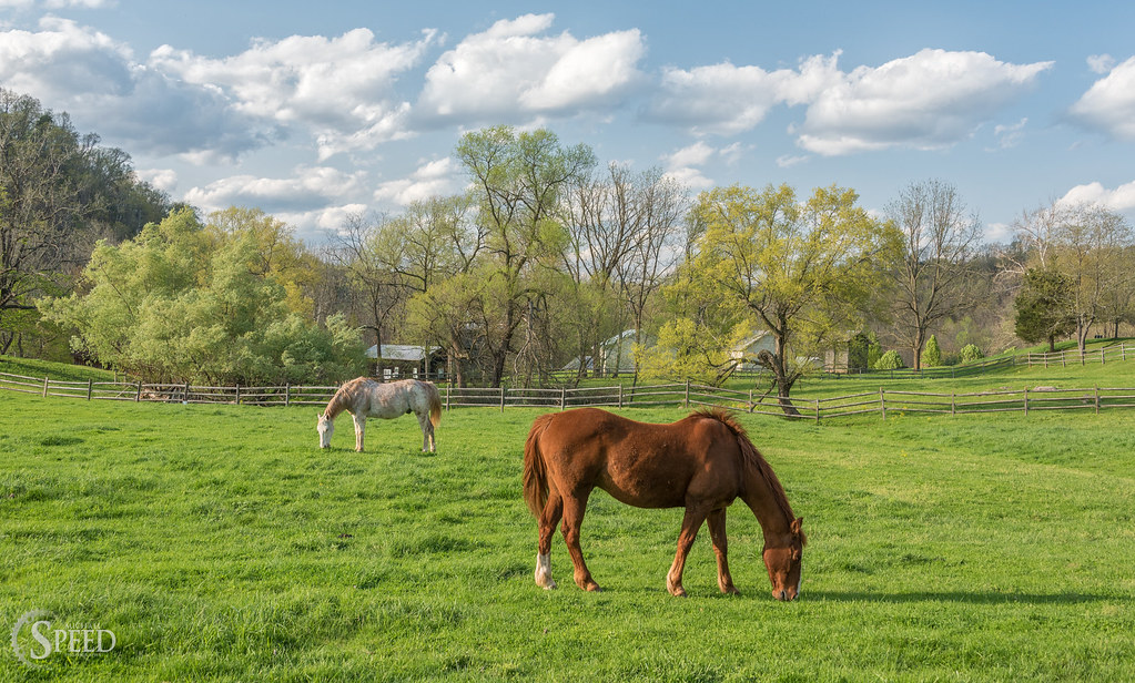
Springtime at Foster Falls Horse Livery
New River Trail 004
10-NewRiverFosterFalls

double rainbow
2-FrostyMorningNearShotTower
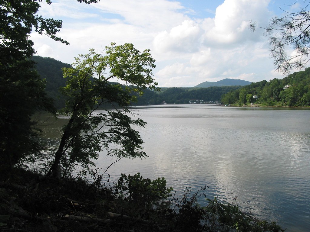
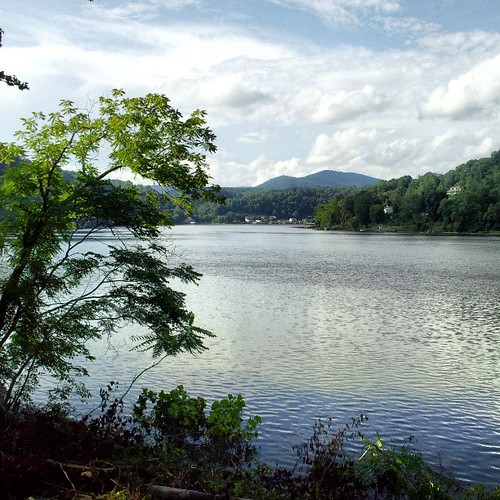
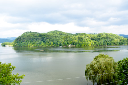
Claytor Lake, Va
Big Reed River
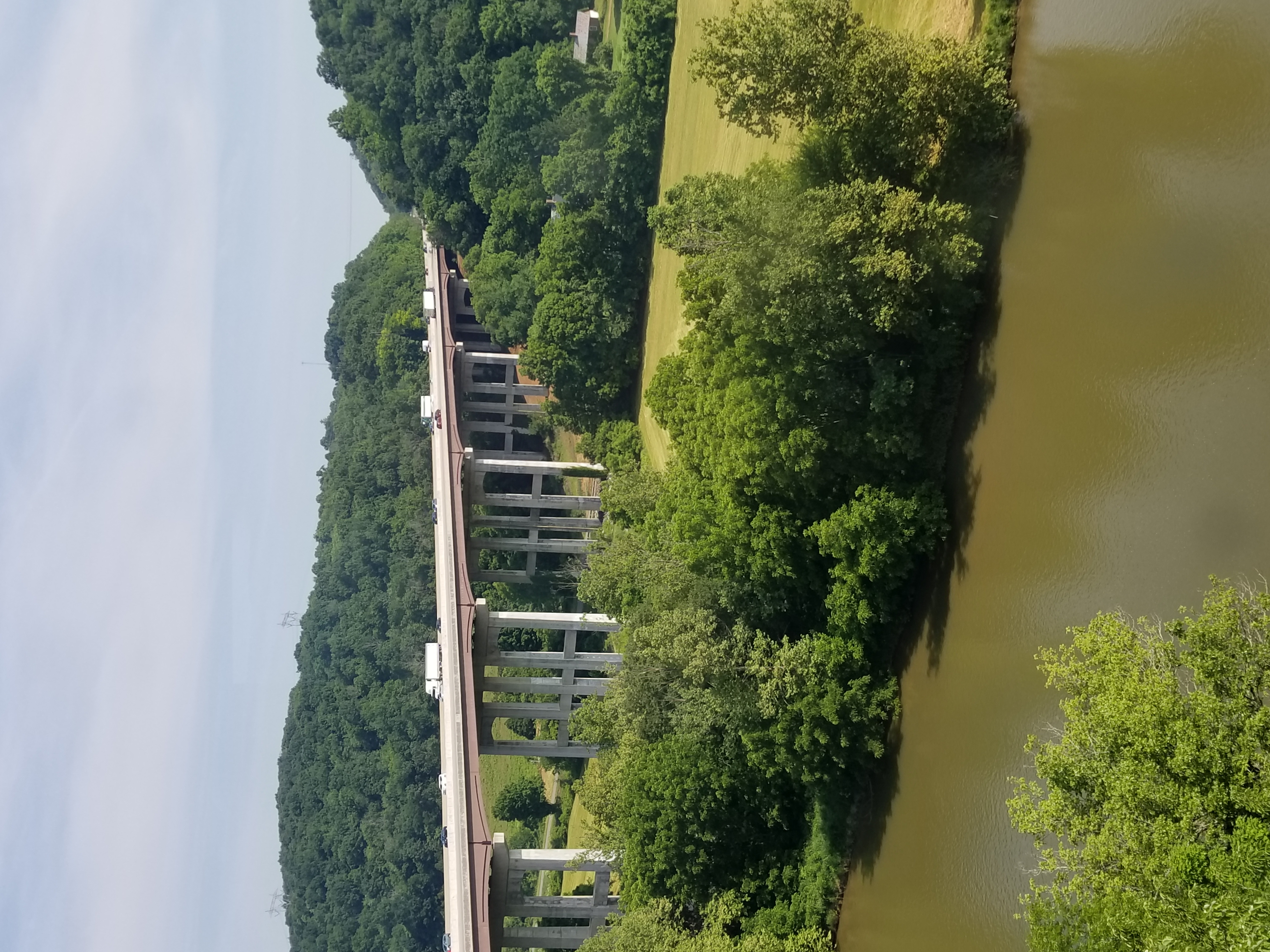
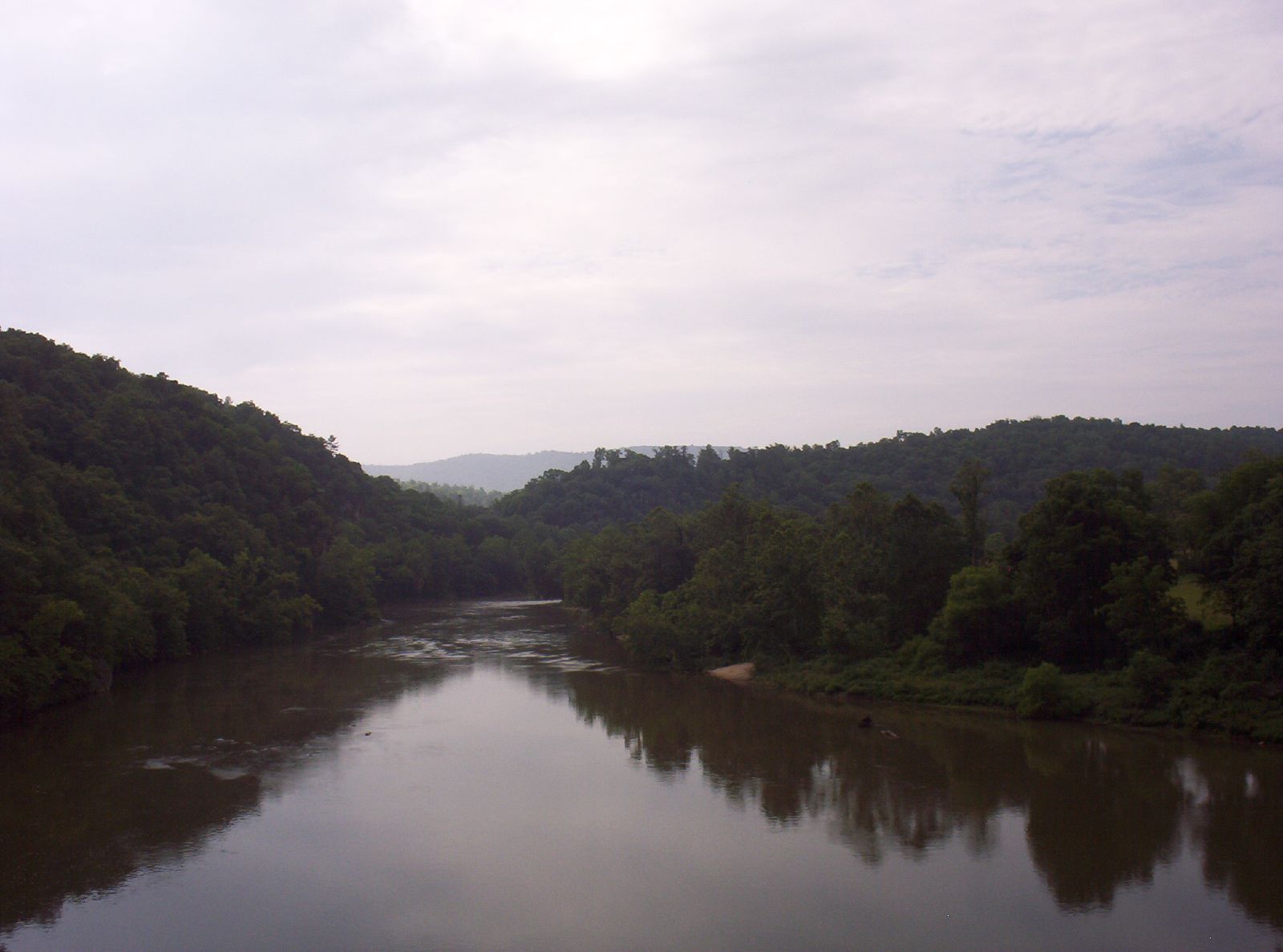
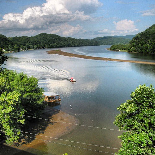
New River
We went biking on the New River Trail.

Looking at New river from Cobb house
Sloan Creek

New River from Bridge3
Top of the World
Give me back my mountain!
Topographic Map of Dry Pond Rd, Allisonia, VA, USA
Find elevation by address:

Places near Dry Pond Rd, Allisonia, VA, USA:
896 Chestnut Oak Ln
3294 Sutphintown Rd
5727 Panther Creek Rd
584 Old Wildcat Trail
1245 Sutphintown Rd
1245 Sutphintown Rd
547 Farris Mines Rd
4000 Dowery Ln
3571 Panther Creek Rd
371 Country Woods Dr
371 Country Woods Dr
4964 Double Cabin Rd
Lindsey Mill Road
Farris Mines Road
Allison Hill Road
Pine Creek
Moorewood Lane
Gator Mountain Road
Gator Mountain Road
1008 Farris Mines Rd
Recent Searches:
- Elevation of Jalan Senandin, Lutong, Miri, Sarawak, Malaysia
- Elevation of Bilohirs'k
- Elevation of 30 Oak Lawn Dr, Barkhamsted, CT, USA
- Elevation of Luther Road, Luther Rd, Auburn, CA, USA
- Elevation of Unnamed Road, Respublika Severnaya Osetiya — Alaniya, Russia
- Elevation of Verkhny Fiagdon, North Ossetia–Alania Republic, Russia
- Elevation of F. Viola Hiway, San Rafael, Bulacan, Philippines
- Elevation of Herbage Dr, Gulfport, MS, USA
- Elevation of Lilac Cir, Haldimand, ON N3W 2G9, Canada
- Elevation of Harrod Branch Road, Harrod Branch Rd, Kentucky, USA