Elevation of Dry Dock Vacation Club, S Lake Park Blvd, Carolina Beach, NC, USA
Location: United States > North Carolina > New Hanover County > Federal Point > Carolina Beach >
Longitude: -77.895425
Latitude: 34.0308884
Elevation: 1m / 3feet
Barometric Pressure: 101KPa
Elevation Map:
Satellite Map:
Related Photos:
Early Bird Gets the Worm
Bitches Brew (Part 2)
Ciudad en las Nubes

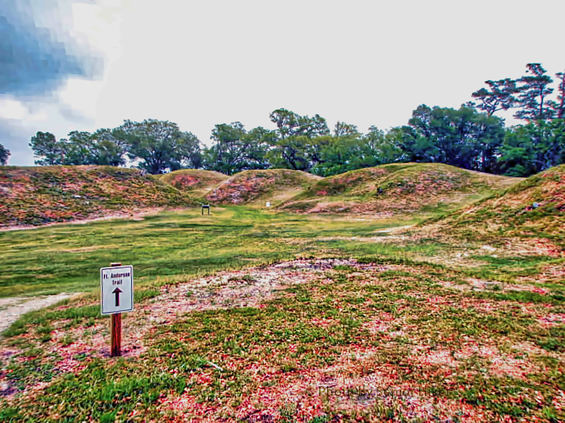
One of the batteries of Fort Anderson.
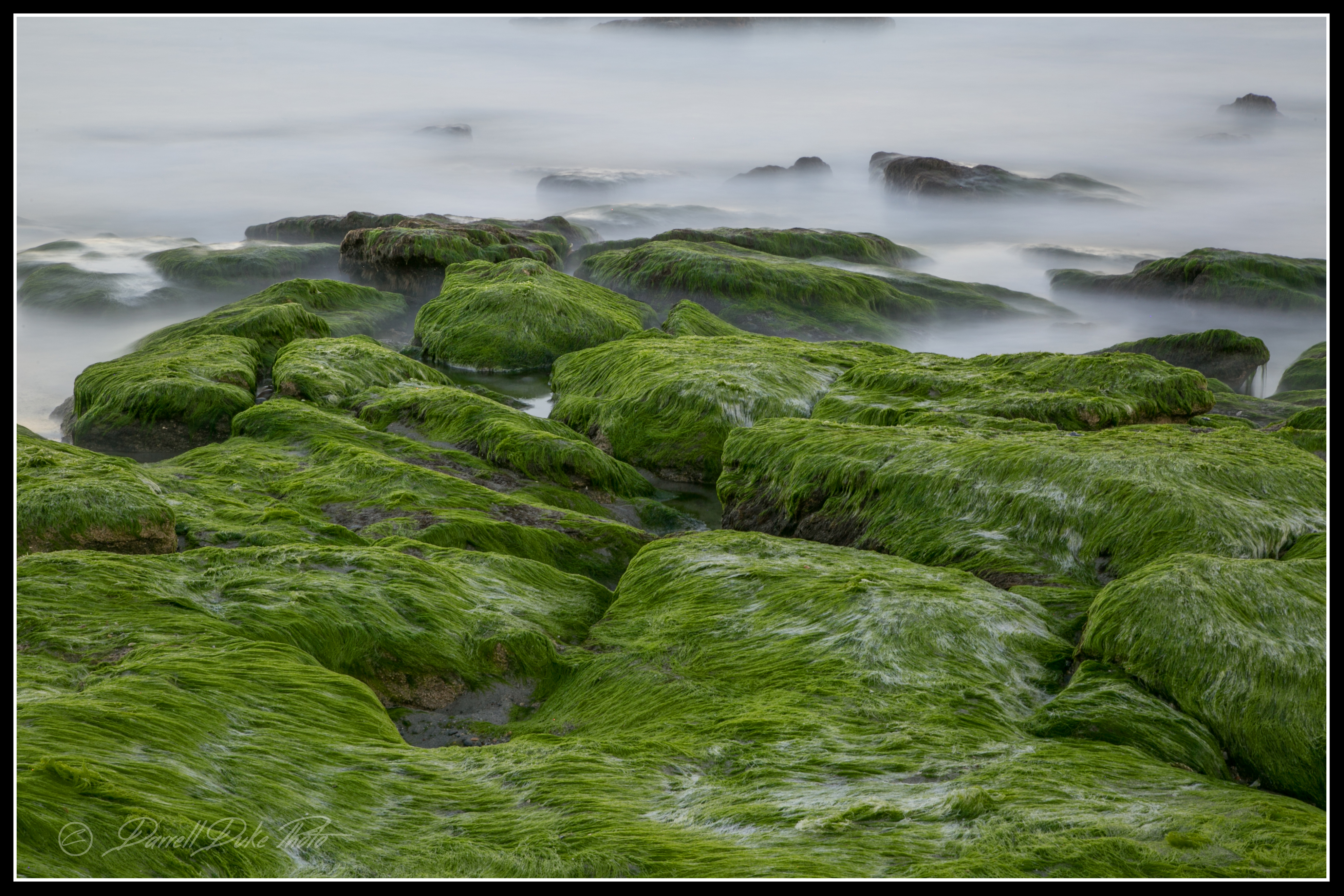
Altered States
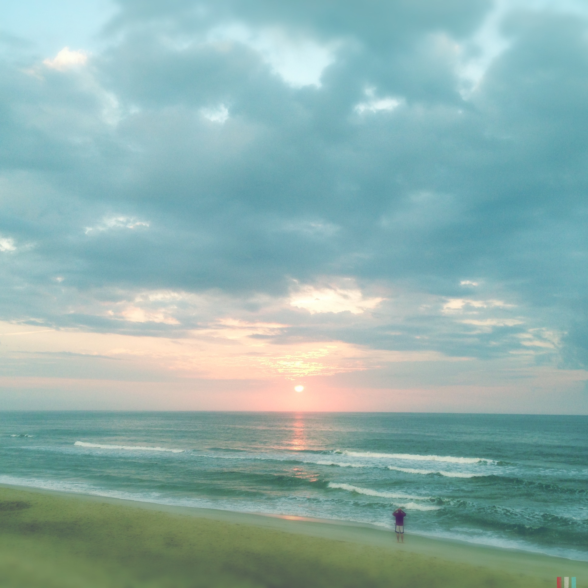
Summer Sunrise
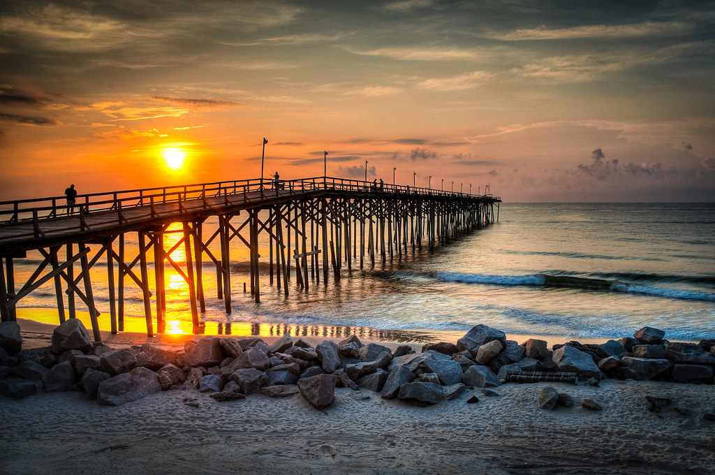
Fort Fisher Sunrise
A Summer Memory
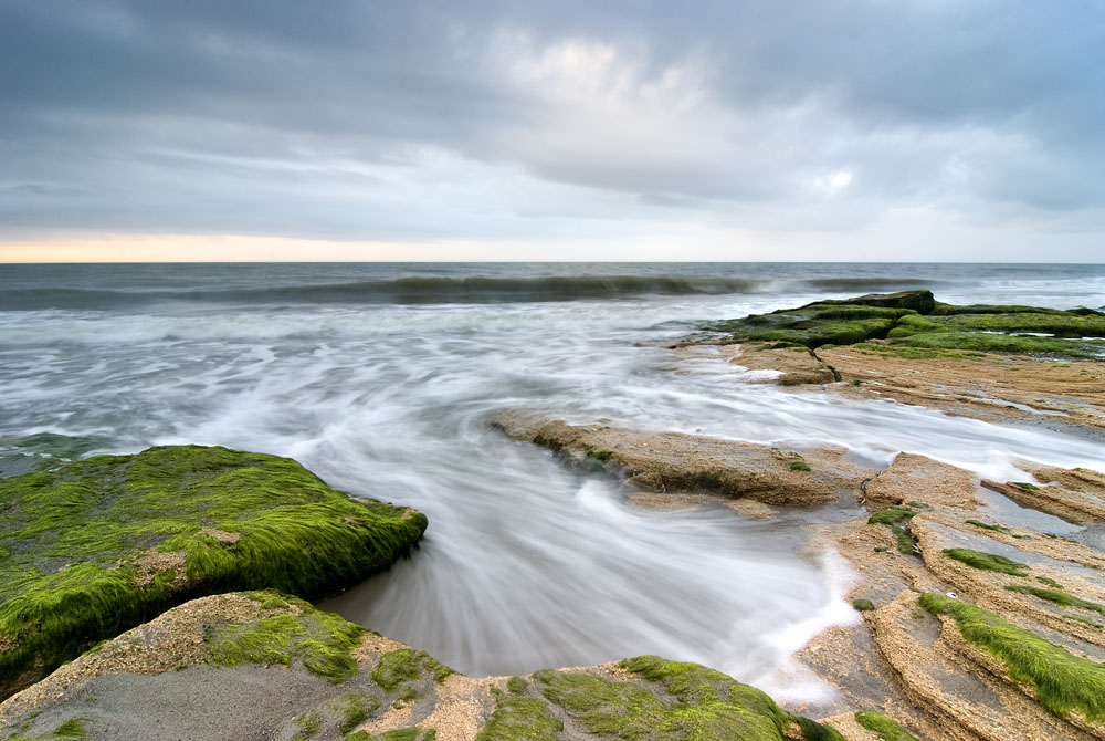
Creepy Fog
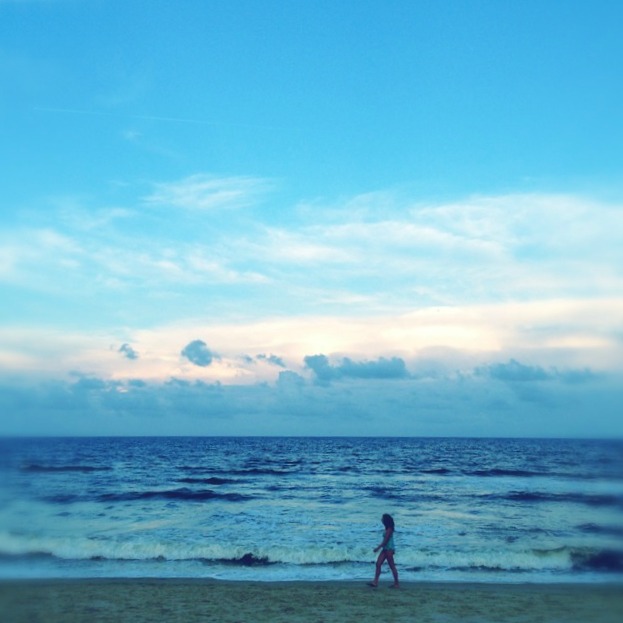
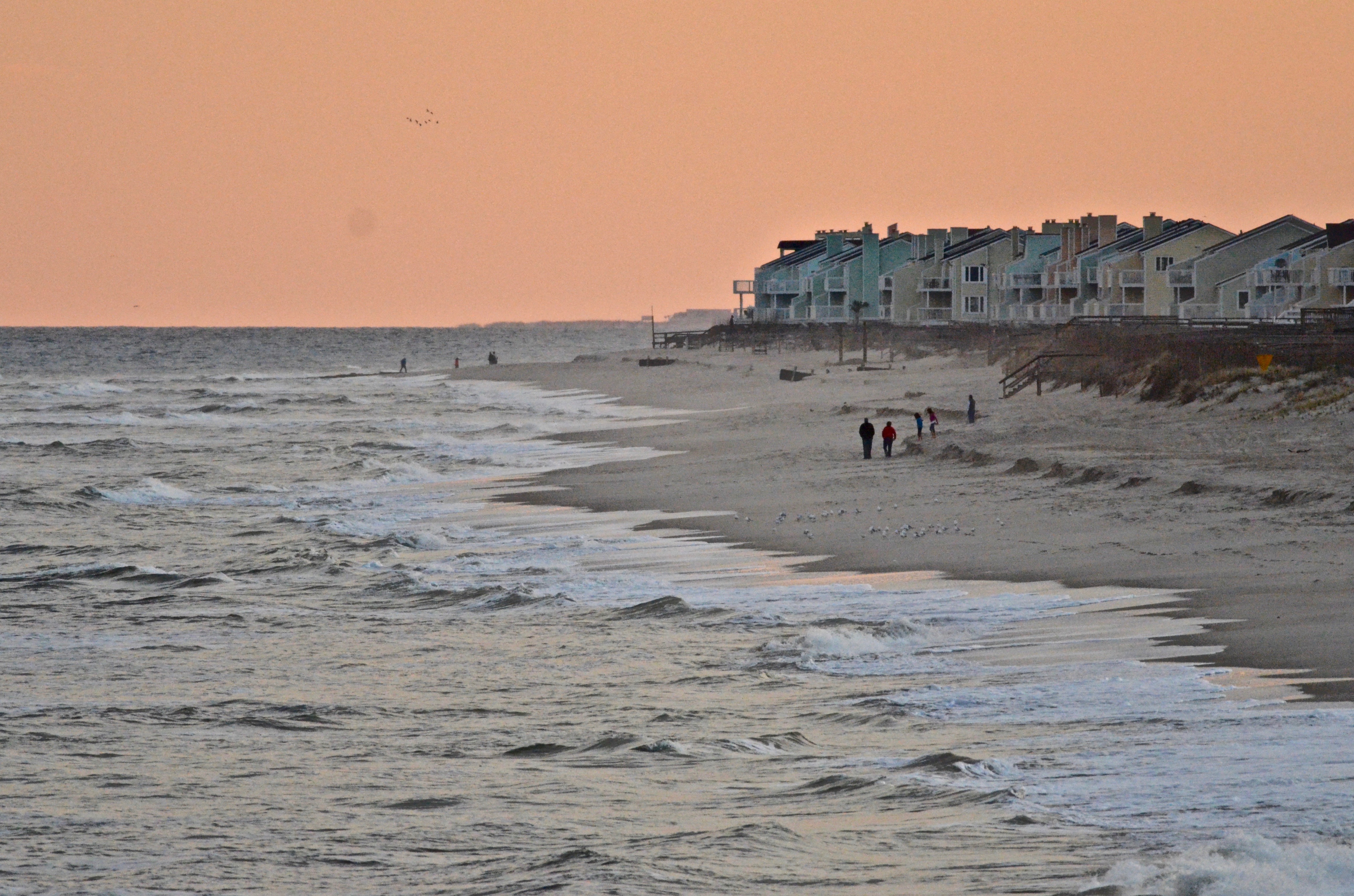
A Walk on the Beach
Yesterday Morning
Fort Fisher Panorama

Kaia @ Sunrise
Windy Lane
Sunset on the beach

Sun Washed

Fort Fisher Sunset
Carolina Beach Sunrise
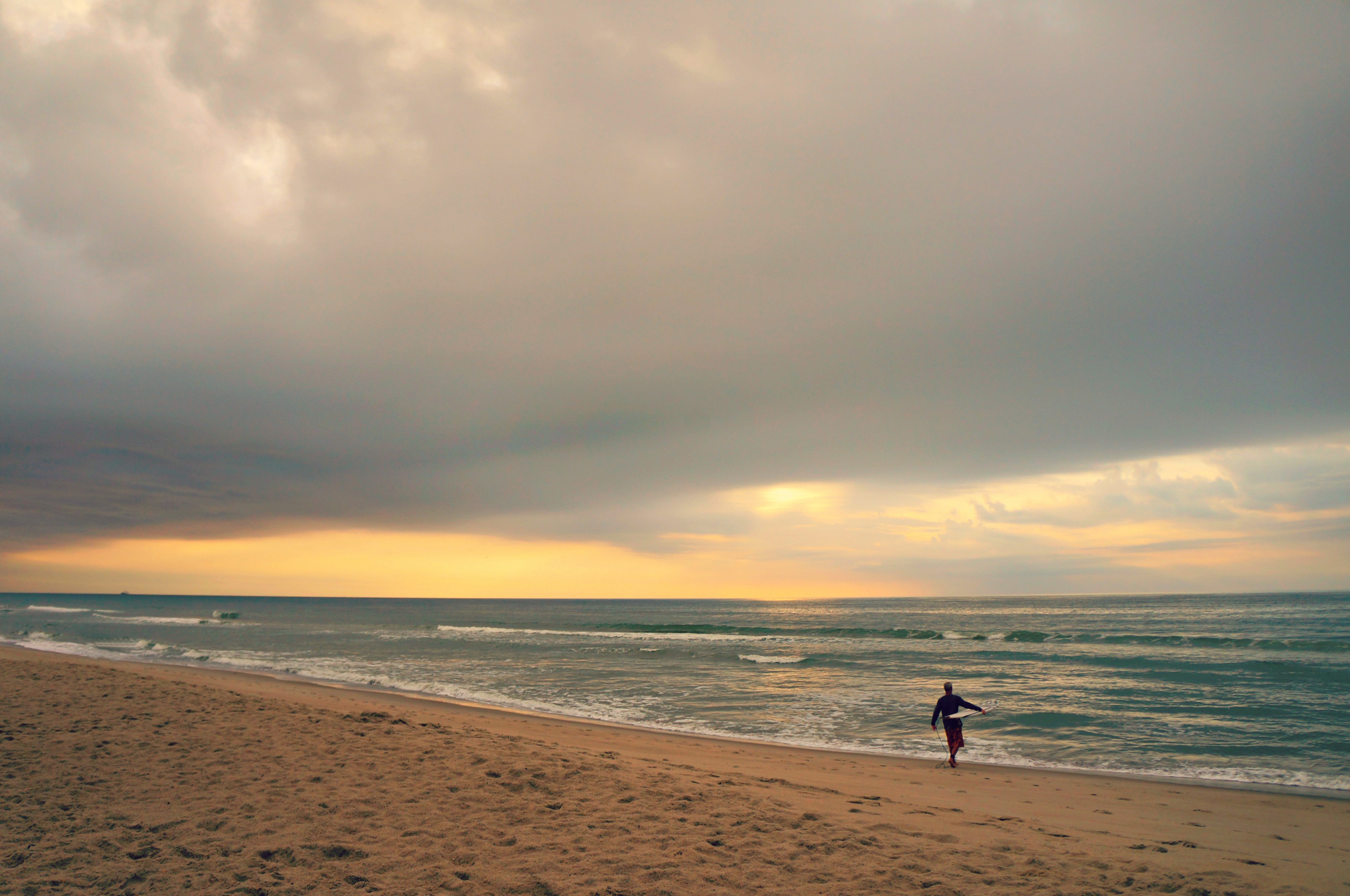
Sunrise Surf
Another look at Fort Anderson's winter barracks.
The Oz man cometh....
Topographic Map of Dry Dock Vacation Club, S Lake Park Blvd, Carolina Beach, NC, USA
Find elevation by address:

Places near Dry Dock Vacation Club, S Lake Park Blvd, Carolina Beach, NC, USA:
207 Hamlet Ave
213 Hamlet Ave
401 S Third St
208 Charlotte Ave
601 Carolina Beach Ave S
1 Cape Fear Blvd
15 Carolina Beach Ave N
301 Harper Ave
805 S 2nd St
200 Spartanburg Ave
Carolina Beach
301 Fifth St
308 Harper Ave #2b
304 Harper Ave
403 Harper Ave
504 Fayetteville Ave
500 Cape Fear Blvd
506 Cape Fear Blvd
513 Hamlet Ave
300 Seafarer Dr
Recent Searches:
- Elevation of Leguwa, Nepal
- Elevation of County Rd, Enterprise, AL, USA
- Elevation of Kolchuginsky District, Vladimir Oblast, Russia
- Elevation of Shustino, Vladimir Oblast, Russia
- Elevation of Lampiasi St, Sarasota, FL, USA
- Elevation of Elwyn Dr, Roanoke Rapids, NC, USA
- Elevation of Congressional Dr, Stevensville, MD, USA
- Elevation of Bellview Rd, McLean, VA, USA
- Elevation of Stage Island Rd, Chatham, MA, USA
- Elevation of Shibuya Scramble Crossing, 21 Udagawacho, Shibuya City, Tokyo -, Japan