Elevation of Dry Brook Rd, Arkville, NY, USA
Location: United States > New York > Ulster County > Hardenburgh >
Longitude: -74.54875
Latitude: 42.069286
Elevation: 580m / 1903feet
Barometric Pressure: 95KPa
Elevation Map:
Satellite Map:
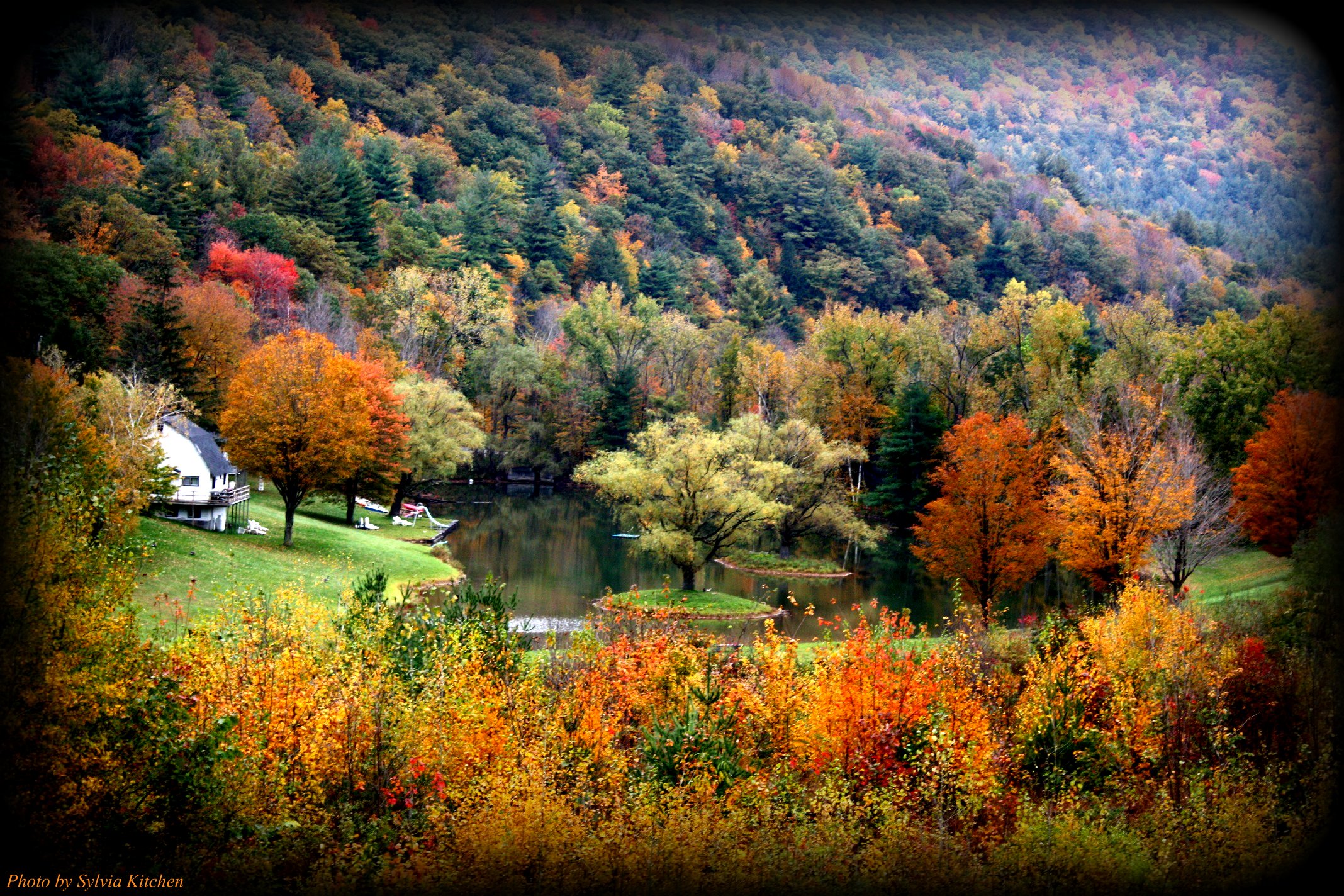
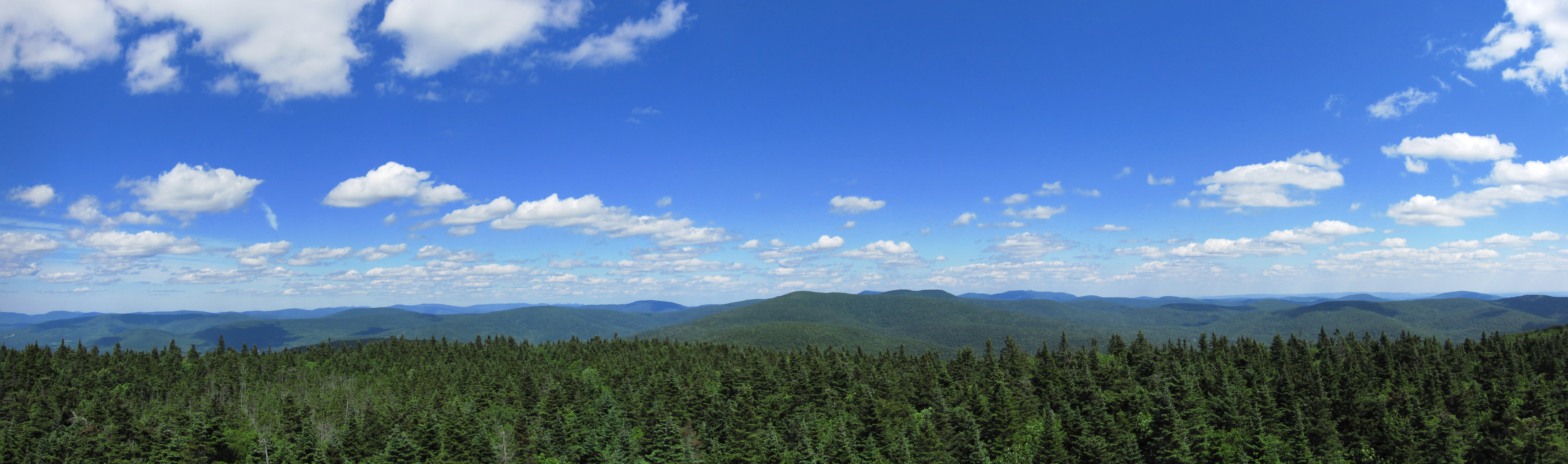
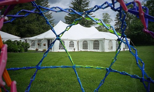
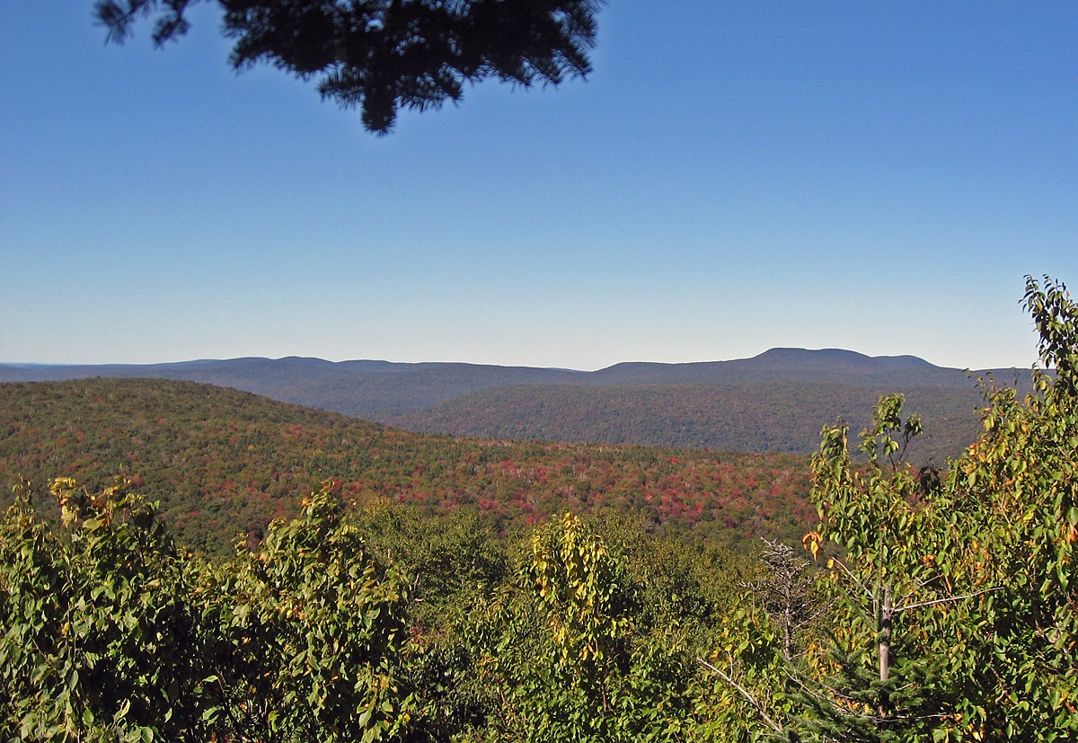
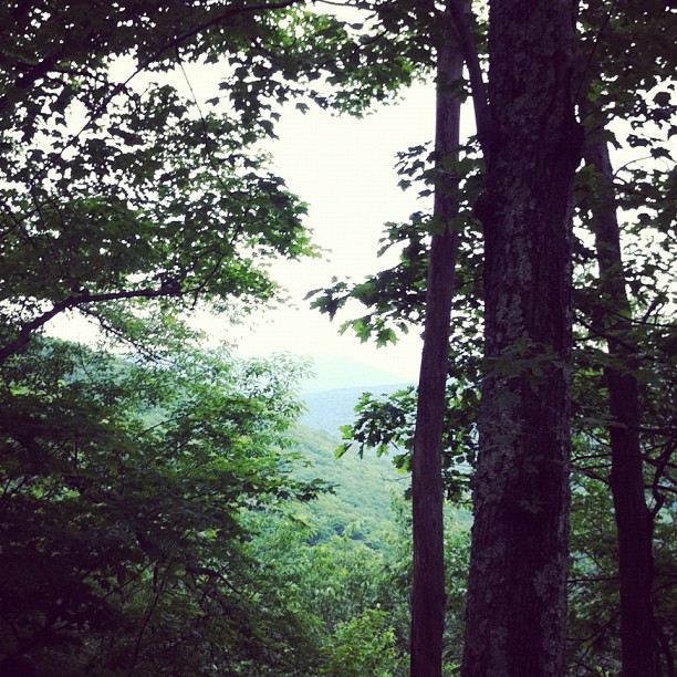
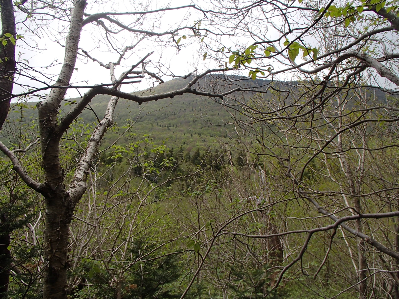
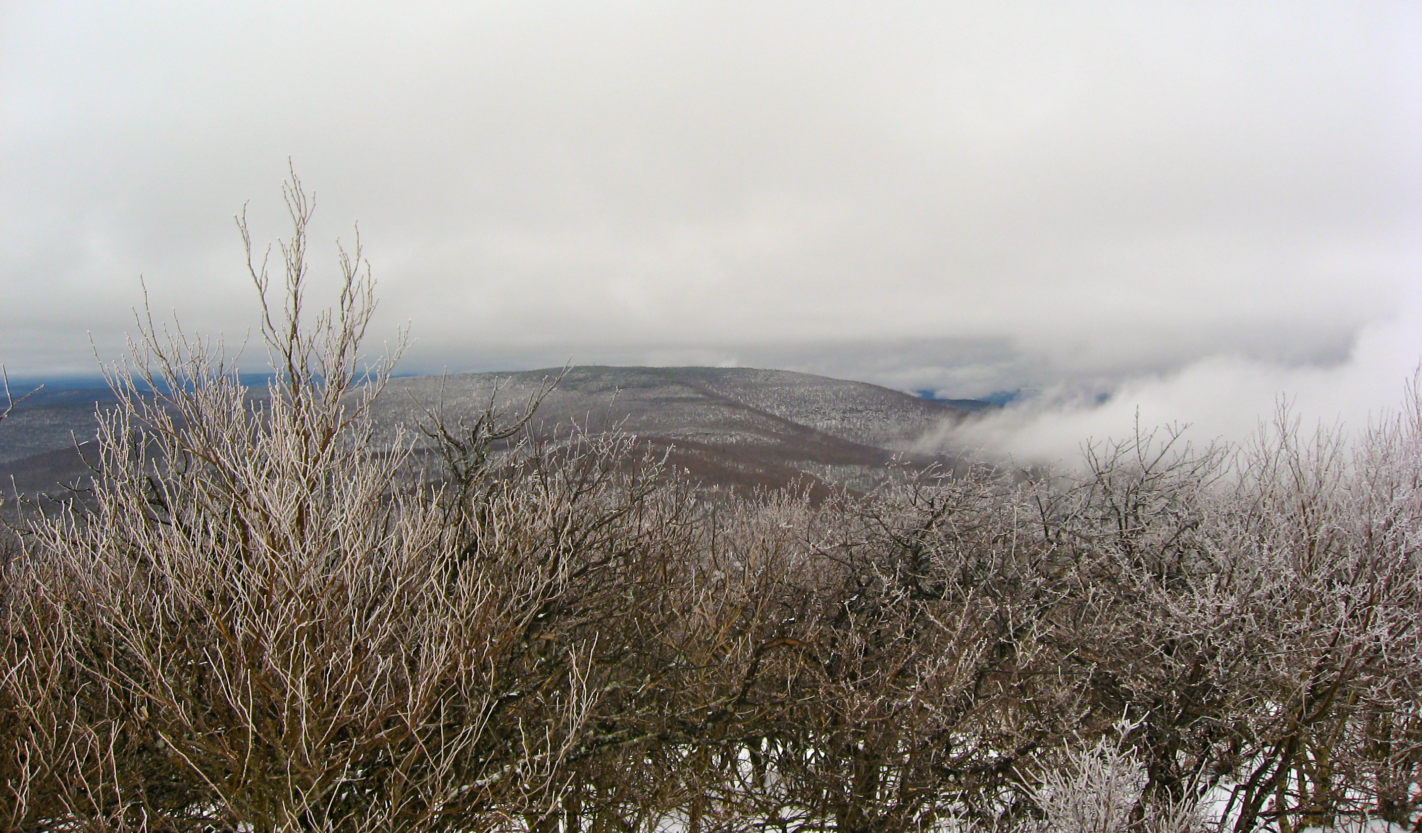
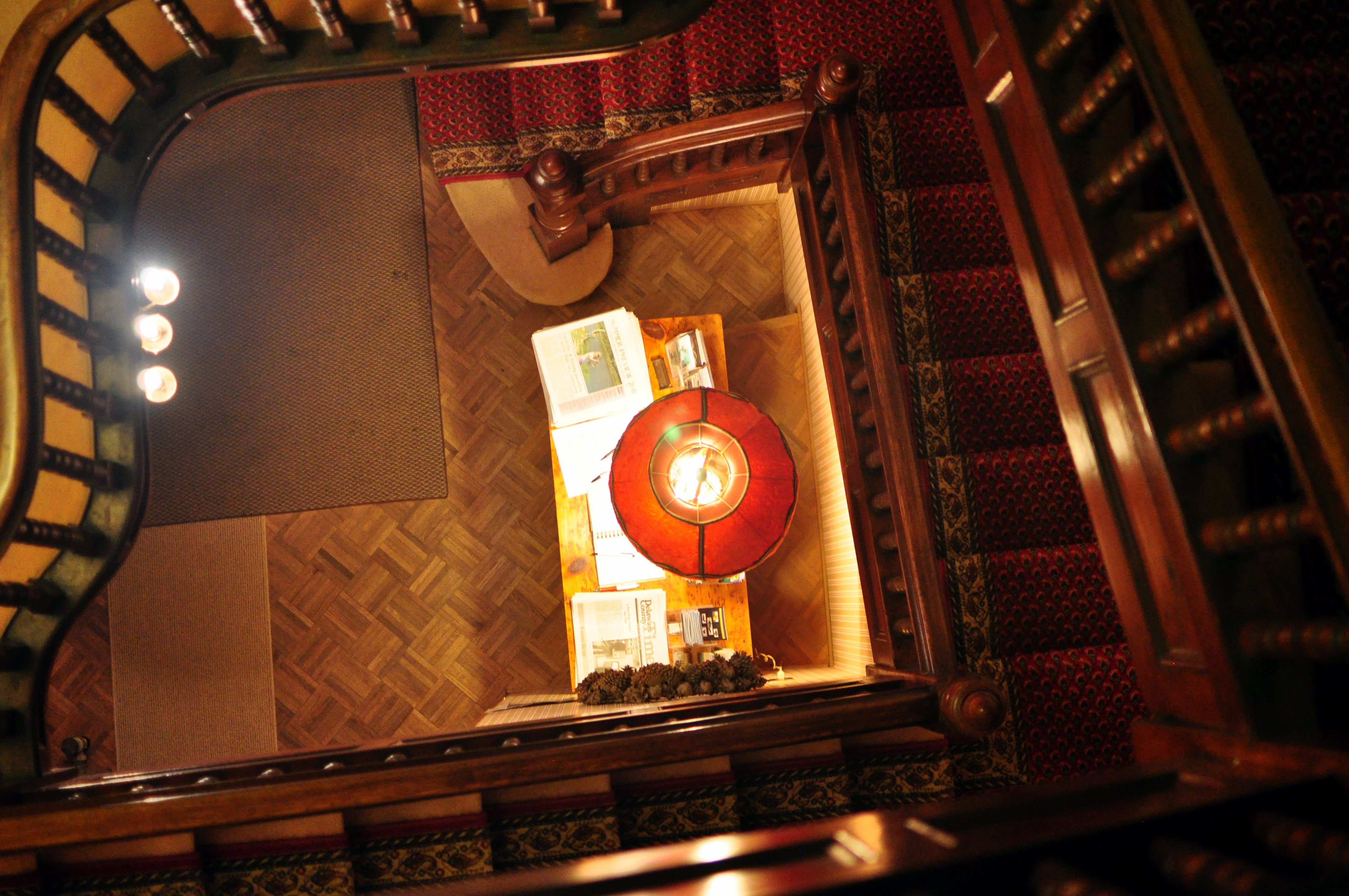
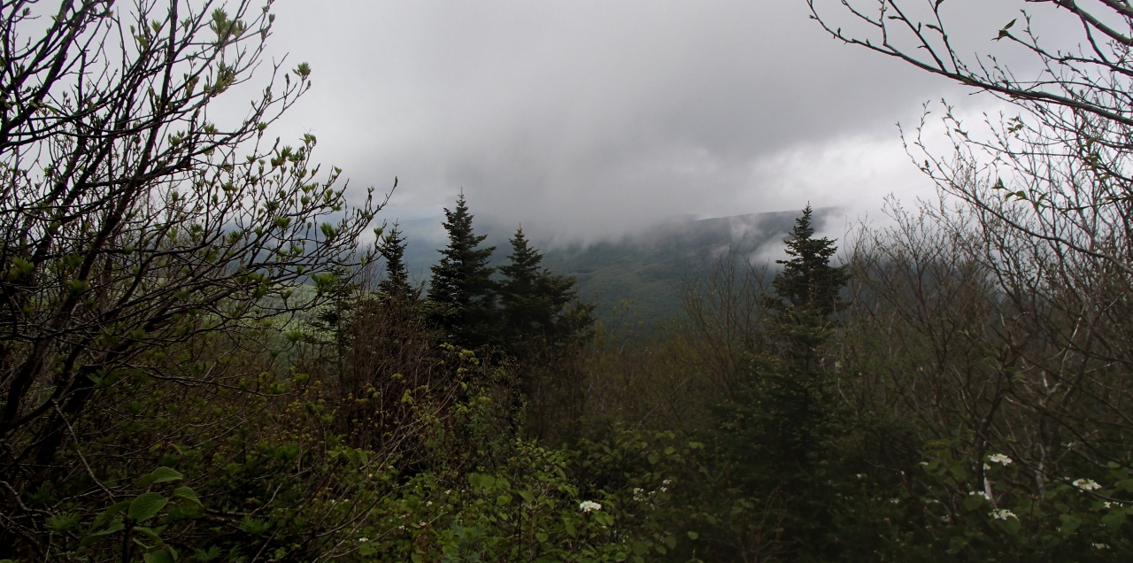
Related Photos:
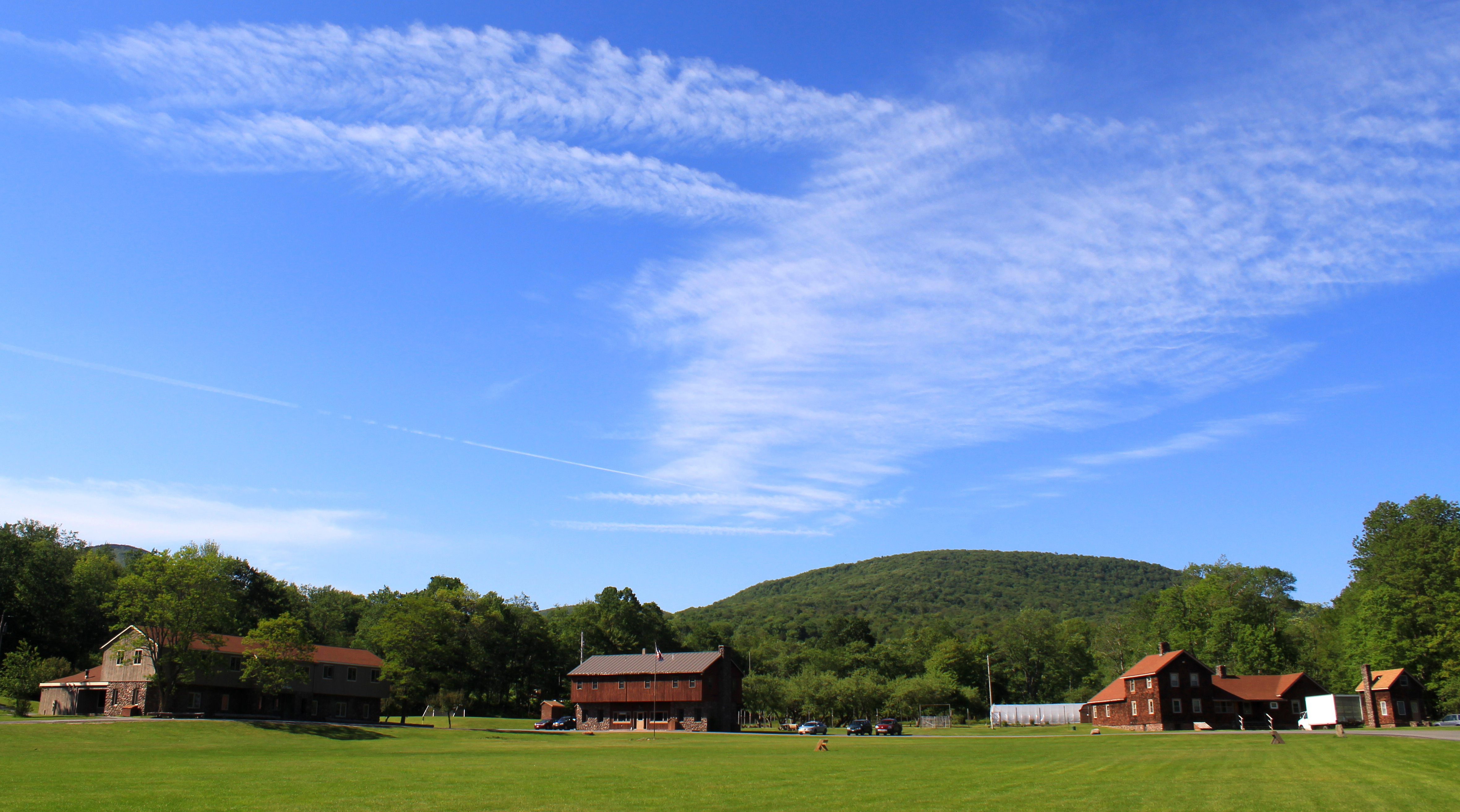
Sky Over Frost Valley **Explored**
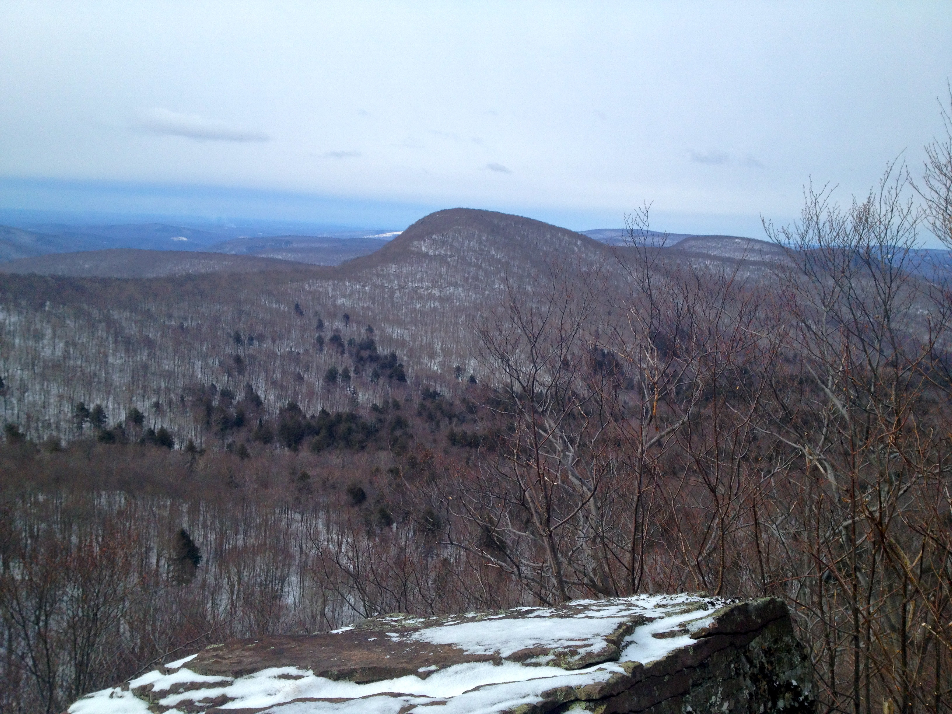
Views from the Woods
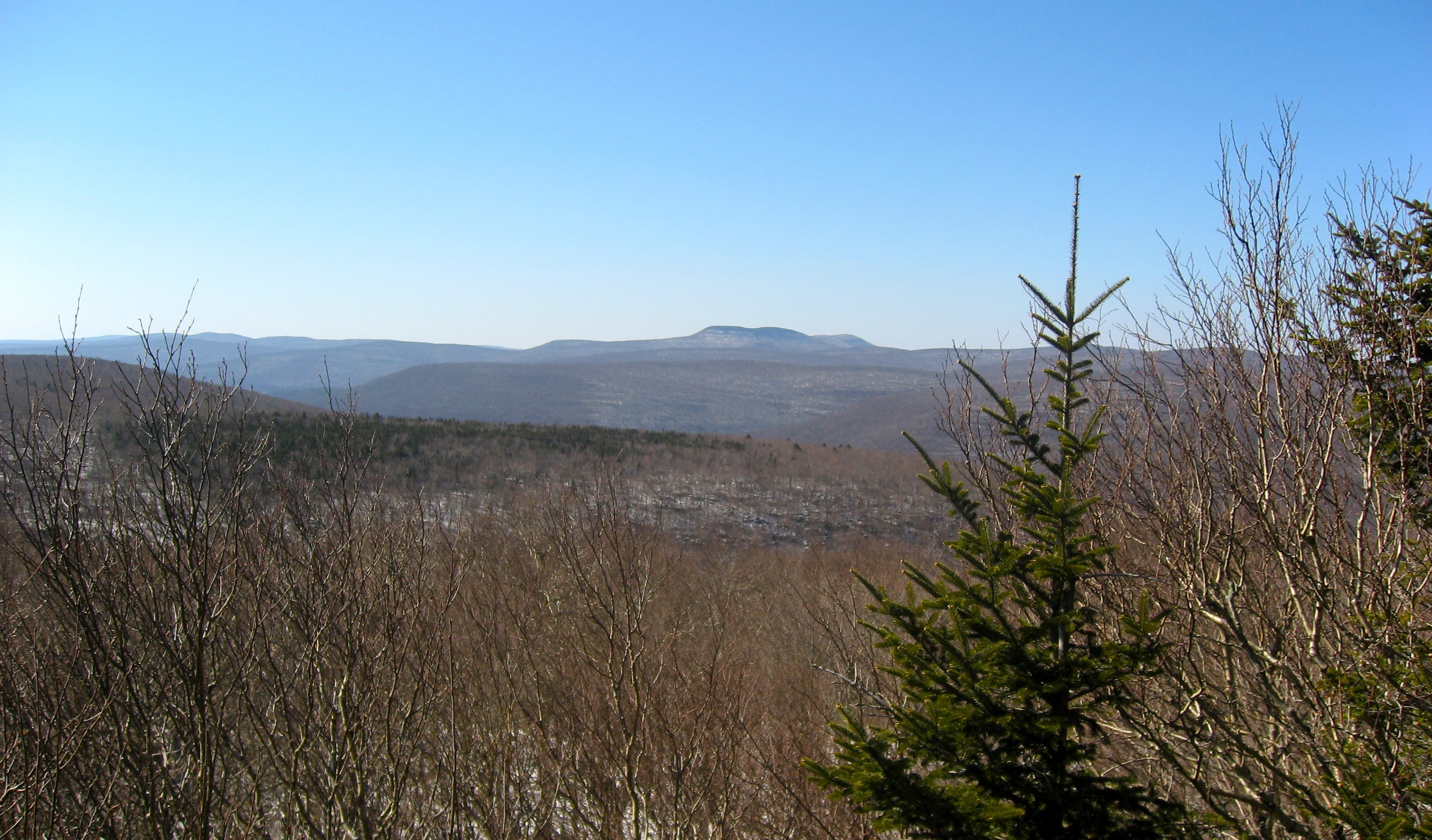
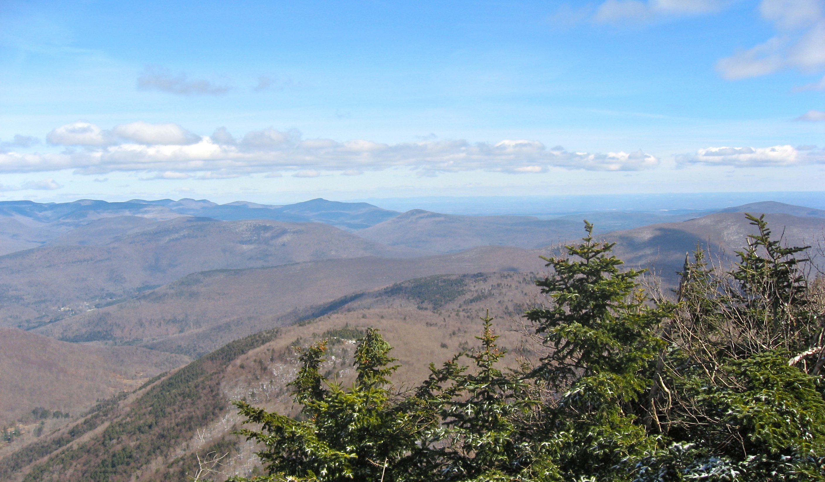
1st View
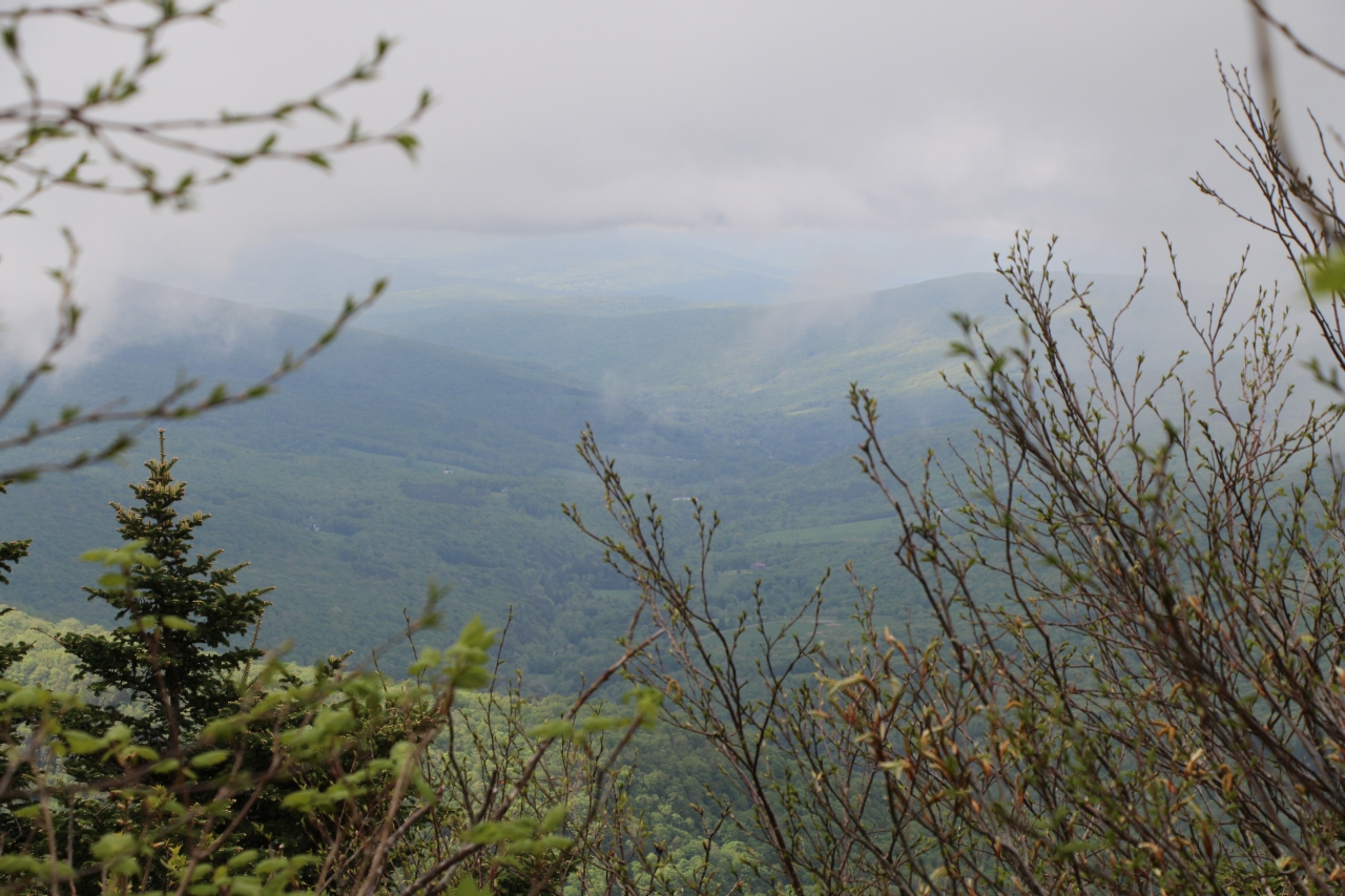
view from panther mountain
Near Highmount, NY

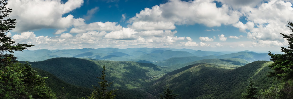
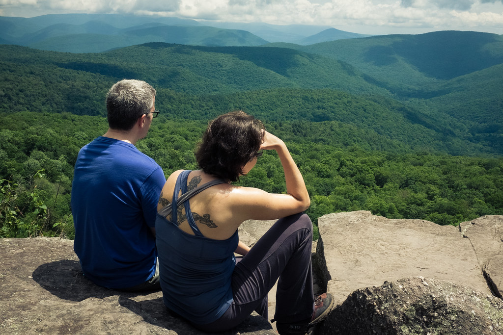
The View
Balsam Lake Mountain
view from within
1st View
View on Way to Table
panther mountain
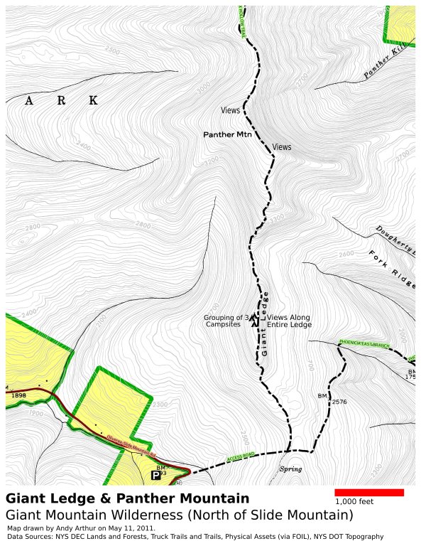
Panther Mountain and Giant Ledge Maps
266 Zoomed-In view back down Dry Brook Road from Doubletop Mountain
View from the hike. #yttp #latergram
226 We finally get a view of Doubletop Mountain as we bushwhack down to the saddle
View from Graham

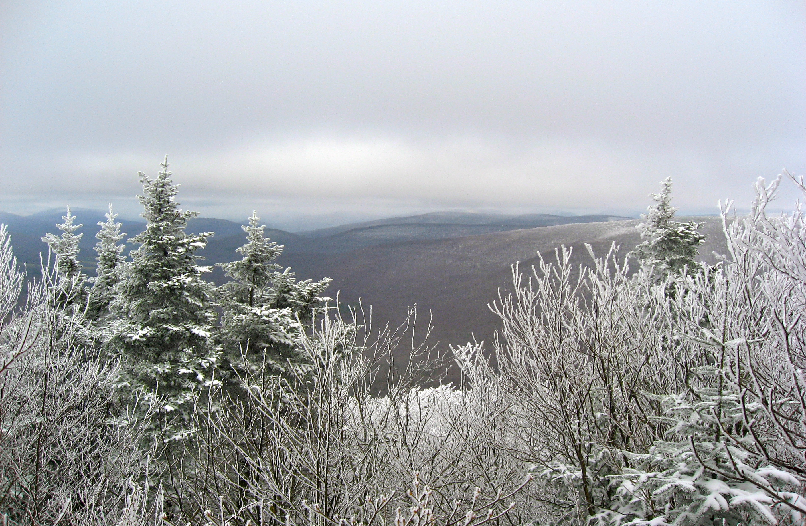
Cold view
View From Above
263 A brief view toward the clouds back on Fir Mountain from Doubletop Mountain
A View (of sorts)
More Lunch Views

Frost Valley Road, waterfall
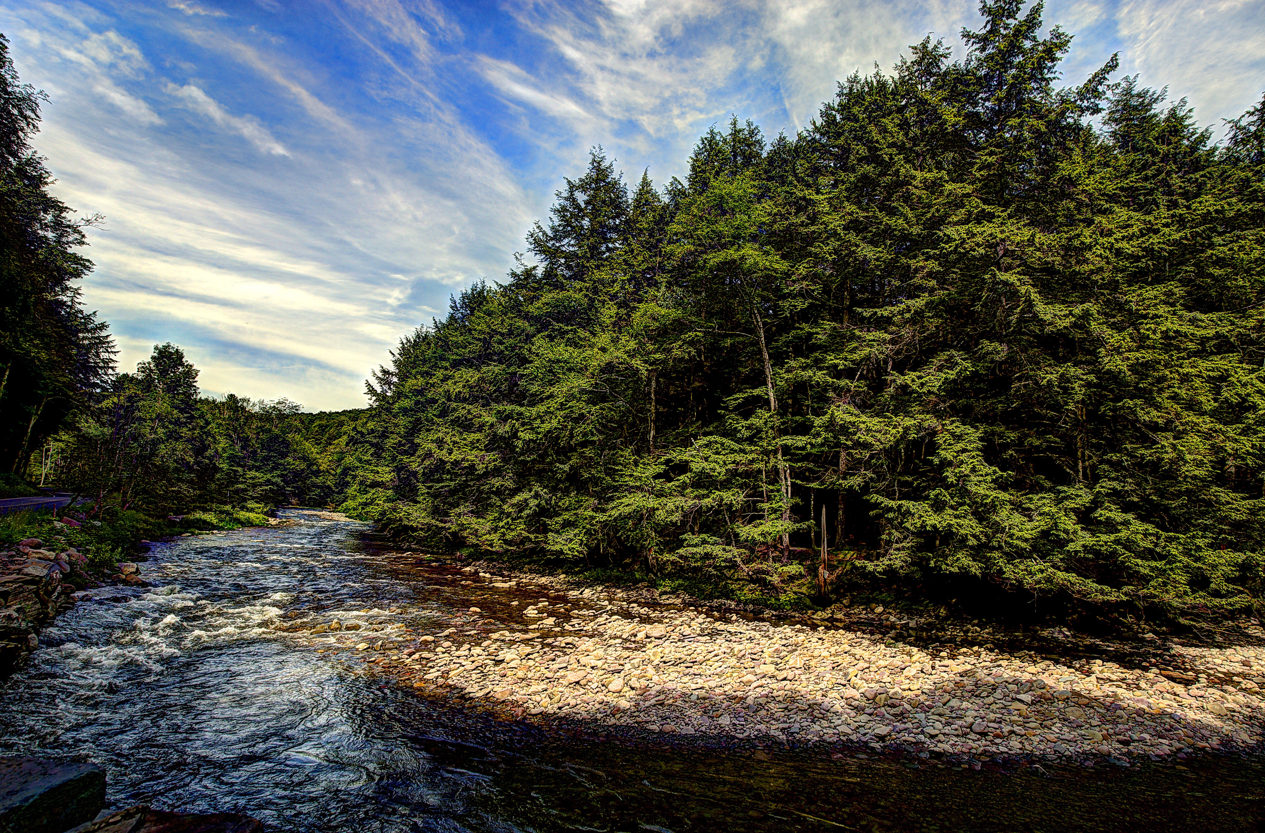
Frost Valley Road
Rolling Hills in Delaware County
BlazeCatskills-9713

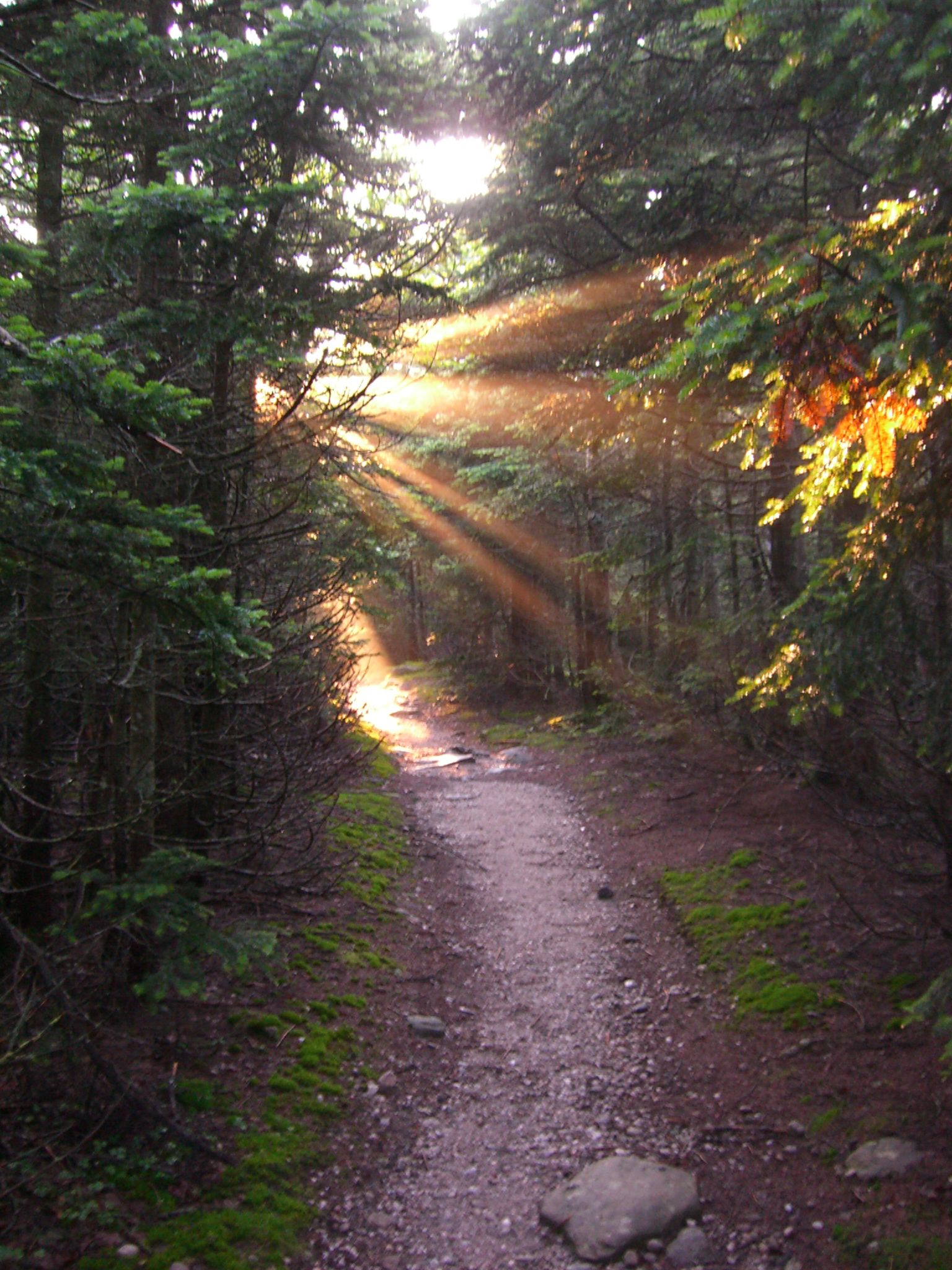
103 Hiking uphill on the Seagar Trail
Big Pond
IMG_2865.JPG (2)

Frost Valley Road, waterfall

DSCF8697.jpg
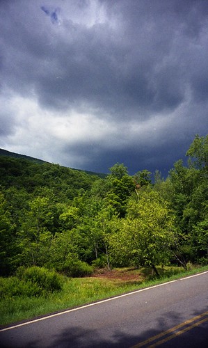
impending storm

Lower Birch Creek
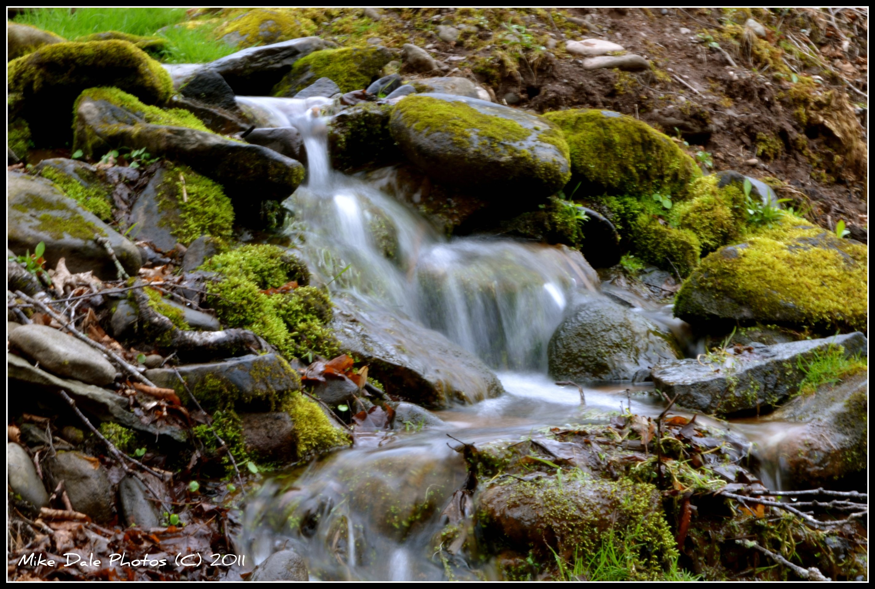
Mountain stream
Slide 7-13-06 004
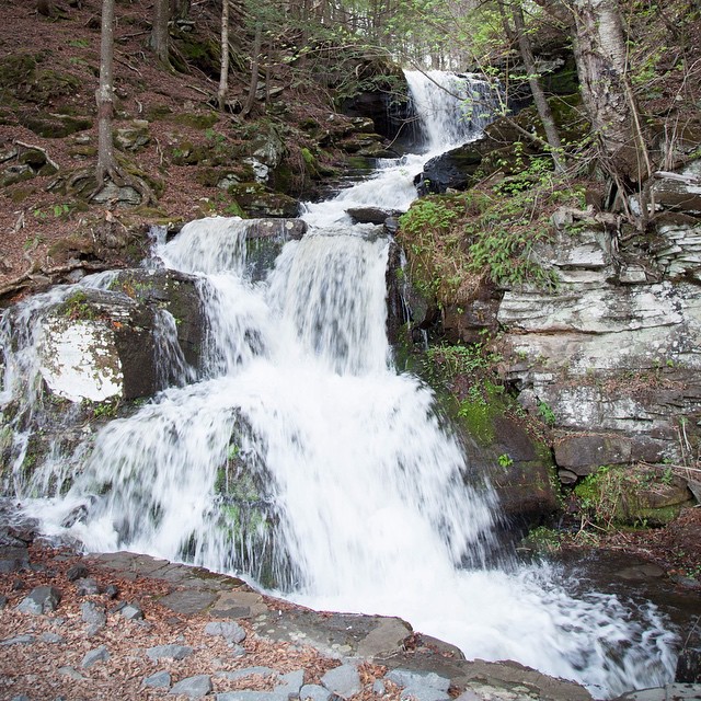
And on the way back I found a waterfall. Which was excellent.

2014-10-18 15.21.11-1.jpg

#NewKingston, #NY - 7/25/2013
BlazeCatskills-9732
Rain is coming
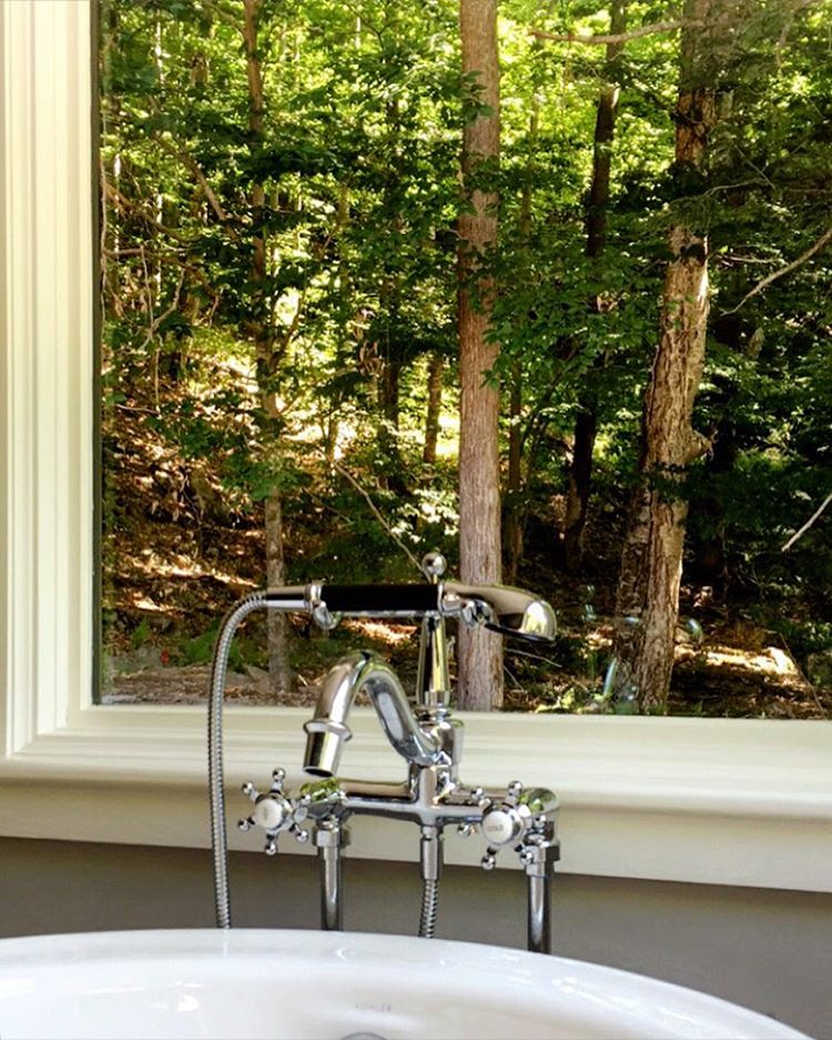
Cabin in the woods
Topographic Map of Dry Brook Rd, Arkville, NY, USA
Find elevation by address:

Places near Dry Brook Rd, Arkville, NY, USA:
5493 Dry Brook Rd
Seager
22 Hiram Todd Rd
7123 Mill Brook Rd
Todd Mountain Rd, Arkville, NY, USA
6969 Mill Brook Rd
Margaretville, NY, USA
Hardenburgh
173 Wagner Ave
Fleischmanns
762 Main St
46031 Ny-28
Floyd Finch Road
Arkville
Middletown
890 Hogg Mountain Rd
County Road 38
998 Streeter Hill Rd
890 Hog Mountain Cir
890 Hog Mountain Cir
Recent Searches:
- Elevation of 7 Waterfall Way, Tomball, TX, USA
- Elevation of SW 57th Ave, Portland, OR, USA
- Elevation of Crocker Dr, Vacaville, CA, USA
- Elevation of Pu Ngaol Community Meeting Hall, HWHM+3X7, Krong Saen Monourom, Cambodia
- Elevation of Royal Ontario Museum, Queens Park, Toronto, ON M5S 2C6, Canada
- Elevation of Groblershoop, South Africa
- Elevation of Power Generation Enterprises | Industrial Diesel Generators, Oak Ave, Canyon Country, CA, USA
- Elevation of Chesaw Rd, Oroville, WA, USA
- Elevation of N, Mt Pleasant, UT, USA
- Elevation of 6 Rue Jules Ferry, Beausoleil, France