Elevation of Drury Ridge Road, Drury Ridge Rd, Lafayette, TN, USA
Location: United States > Tennessee > Macon County >
Longitude: -86.067382
Latitude: 36.5055526
Elevation: 306m / 1004feet
Barometric Pressure: 98KPa
Elevation Map:
Satellite Map:
Related Photos:

Trousdale County Courthouse at Night (2013)

Trousdale County Courthouse at Night (2013 Alternate View)

20180927-RD-LSC-0744

20180927-RD-LSC-0743

20180927-RD-LSC-0718

Trousdale County, TN Courthouse - Hartsville, TN

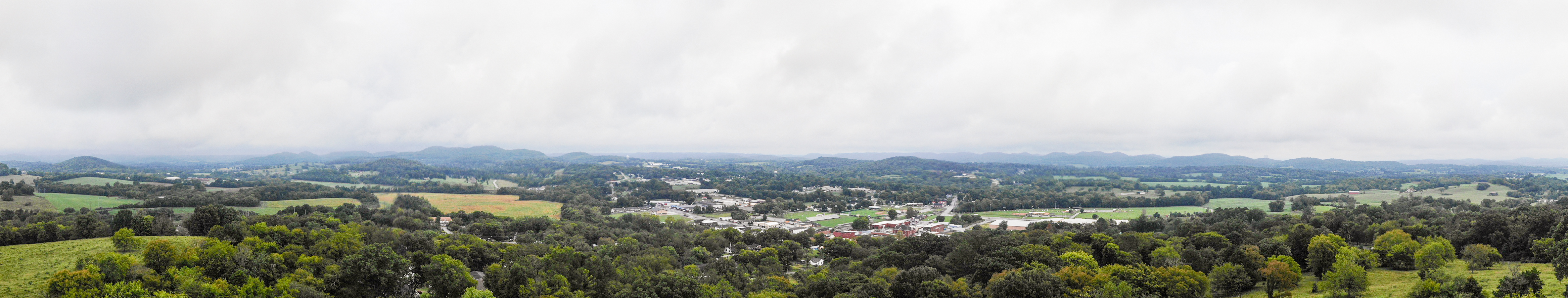
Macon County, TN Courthouse - Lafayette, TN
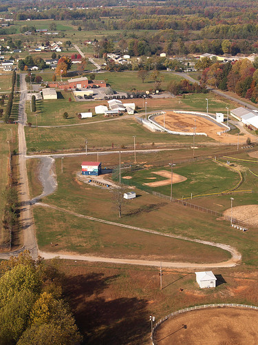
Lafayette, Macon County, Tennessee
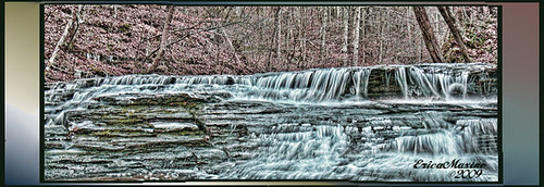
12-12-2009 0154 Union Camp Falls - HDR
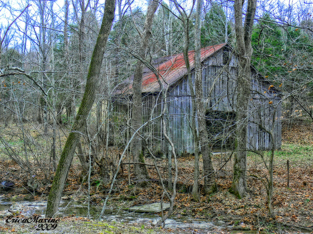
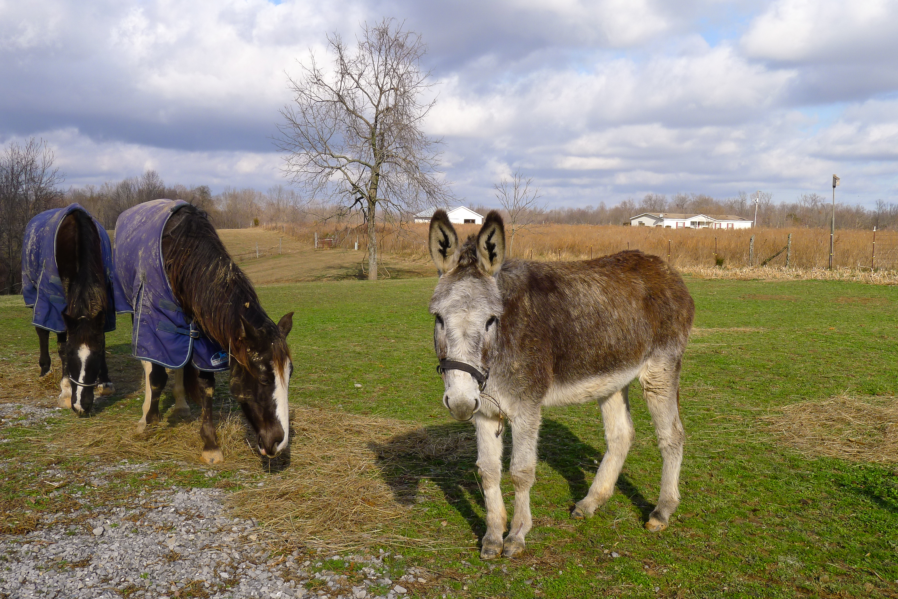
12-12-2009 0025 Barn-HDR
20180926-RD-LSC-0002
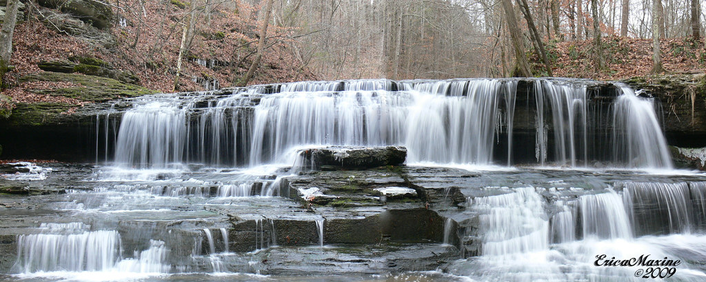
12-12-2009 0154 Union Camp Falls Panorama

Steps of Water: Union Camp Falls

Union Camp Falls
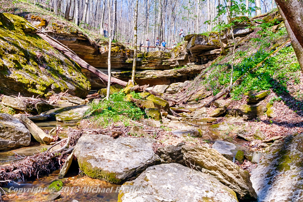
Taylor Hollow State Natural Area - April 13, 2013
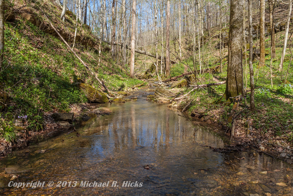
Taylor Hollow State Natural Area - April 13, 2013
Pilar's pets
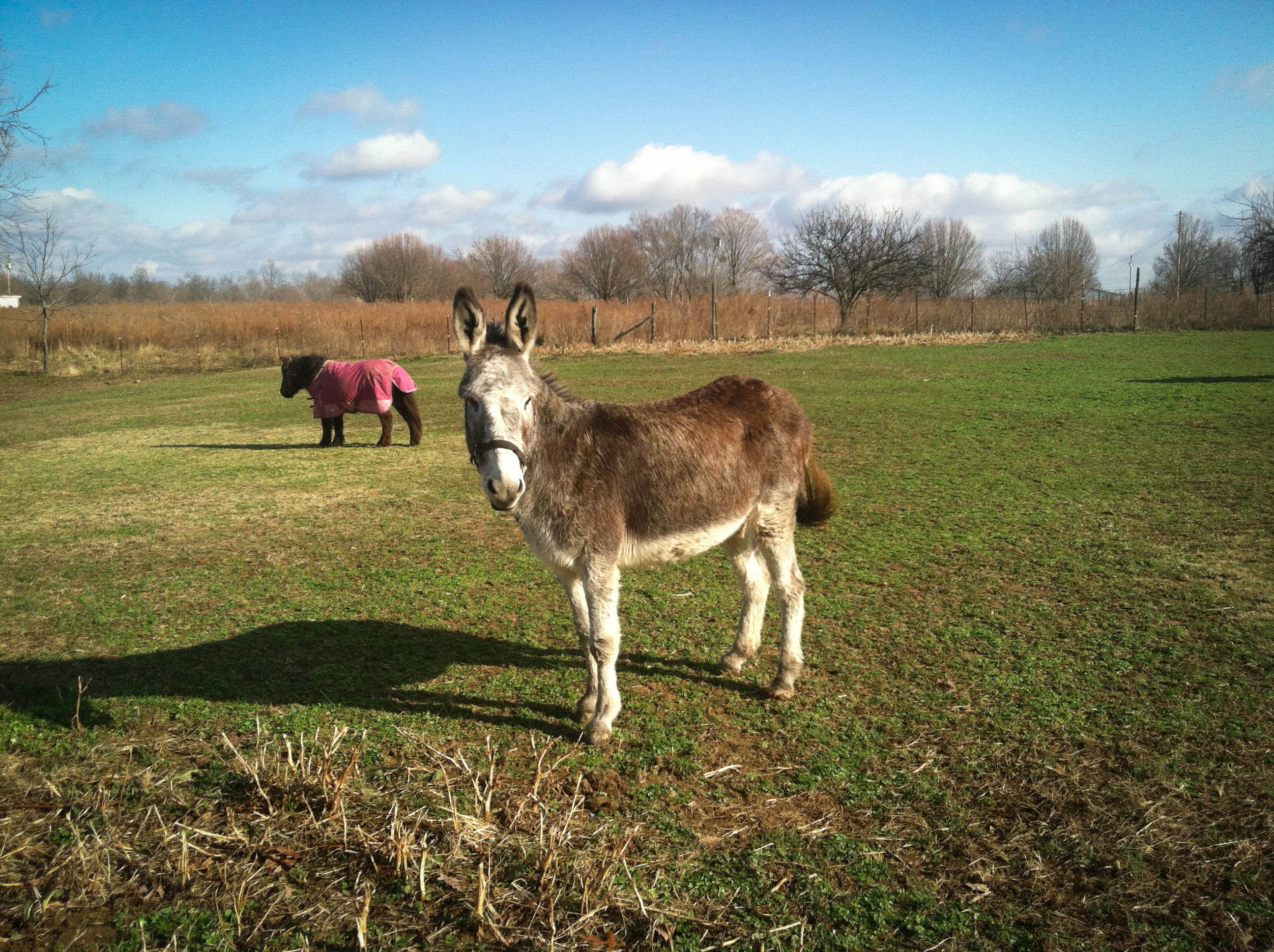
Jackie & Pisco
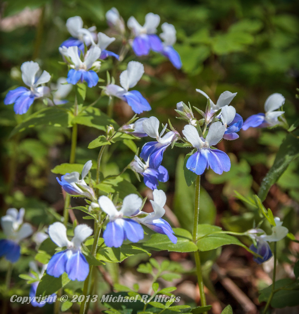
Blue-Eyed Mary
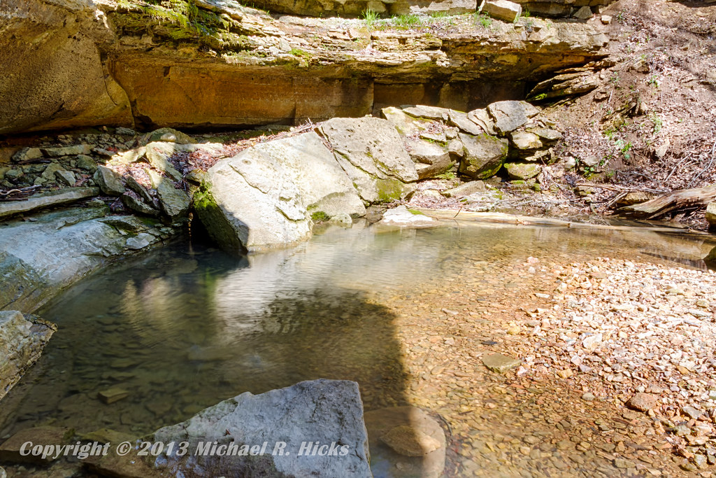
Taylor Hollow State Natural Area - April 13, 2013
Topographic Map of Drury Ridge Road, Drury Ridge Rd, Lafayette, TN, USA
Find elevation by address:

Places near Drury Ridge Road, Drury Ridge Rd, Lafayette, TN, USA:
966 Key Rd
915 Carter Branch Rd
Lafayette
Scottsville Rd, Lafayette, TN, USA
250 Kristen Drive
87 Hillsdale Cir, Dixon Springs, TN, USA
250 Hackberry Ln
250 Hackberry Ln
915 Rock Crusher Rd
915 Celsor Rd
15 Celsor Rd
Macon County
215 Old Coleytown Ln
1010 Woodard Rd
8531 Red Boiling Springs Rd
1069 Pleasant Shade Hwy
Clay's Lane
Hispanic Association
Red Boiling Springs
7 Carver Loop, Pleasant Shade, TN, USA
Recent Searches:
- Elevation of Congressional Dr, Stevensville, MD, USA
- Elevation of Bellview Rd, McLean, VA, USA
- Elevation of Stage Island Rd, Chatham, MA, USA
- Elevation of Shibuya Scramble Crossing, 21 Udagawacho, Shibuya City, Tokyo -, Japan
- Elevation of Jadagoniai, Kaunas District Municipality, Lithuania
- Elevation of Pagonija rock, Kranto 7-oji g. 8"N, Kaunas, Lithuania
- Elevation of Co Rd 87, Jamestown, CO, USA
- Elevation of Tenjo, Cundinamarca, Colombia
- Elevation of Côte-des-Neiges, Montreal, QC H4A 3J6, Canada
- Elevation of Bobcat Dr, Helena, MT, USA