Elevation of Downey Rd, Fort Mohave, AZ, USA
Location: United States > Arizona > Mohave County > Fort Mohave >
Longitude: -114.60560
Latitude: 35.0104857
Elevation: 164m / 538feet
Barometric Pressure: 99KPa
Elevation Map:
Satellite Map:
Related Photos:

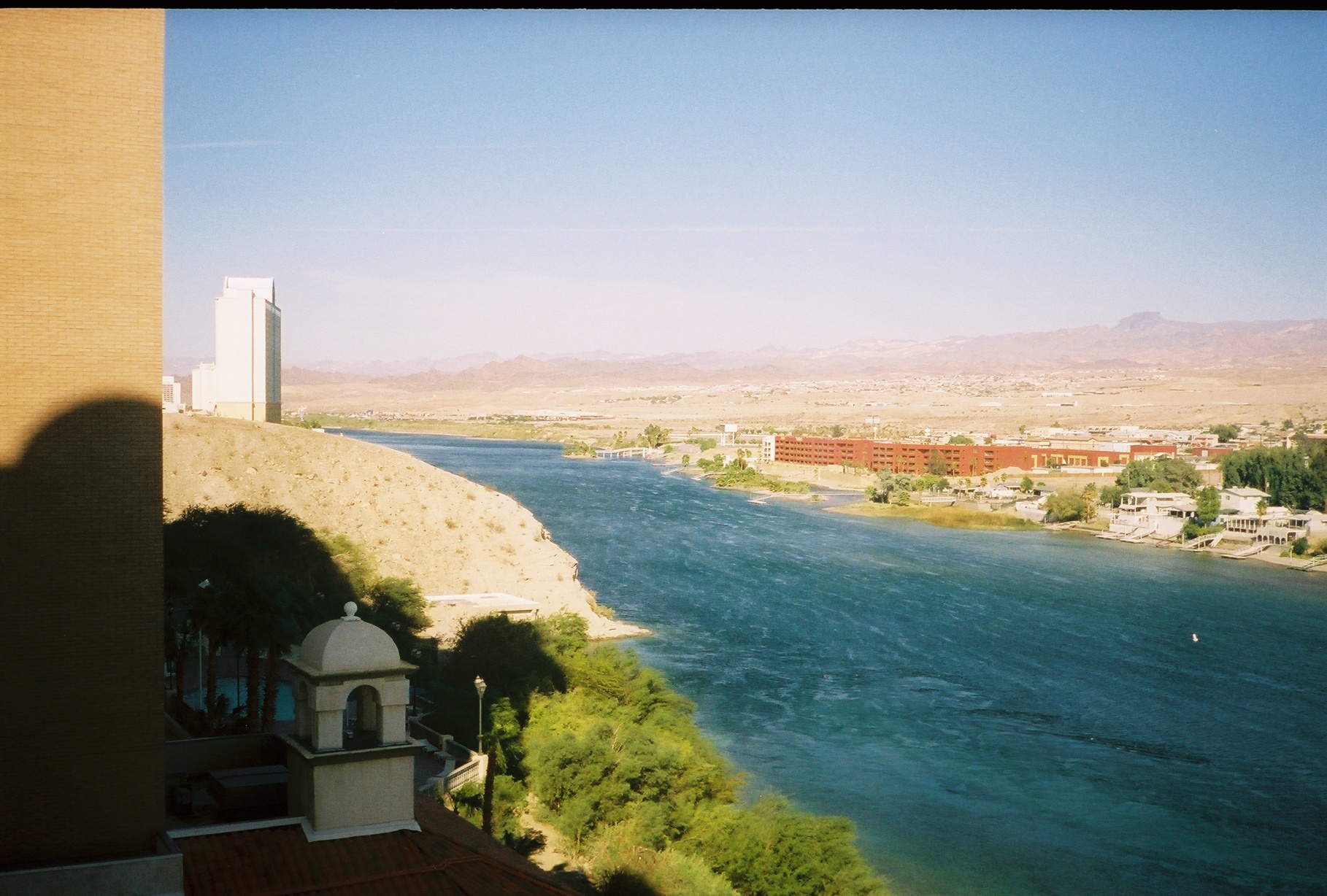
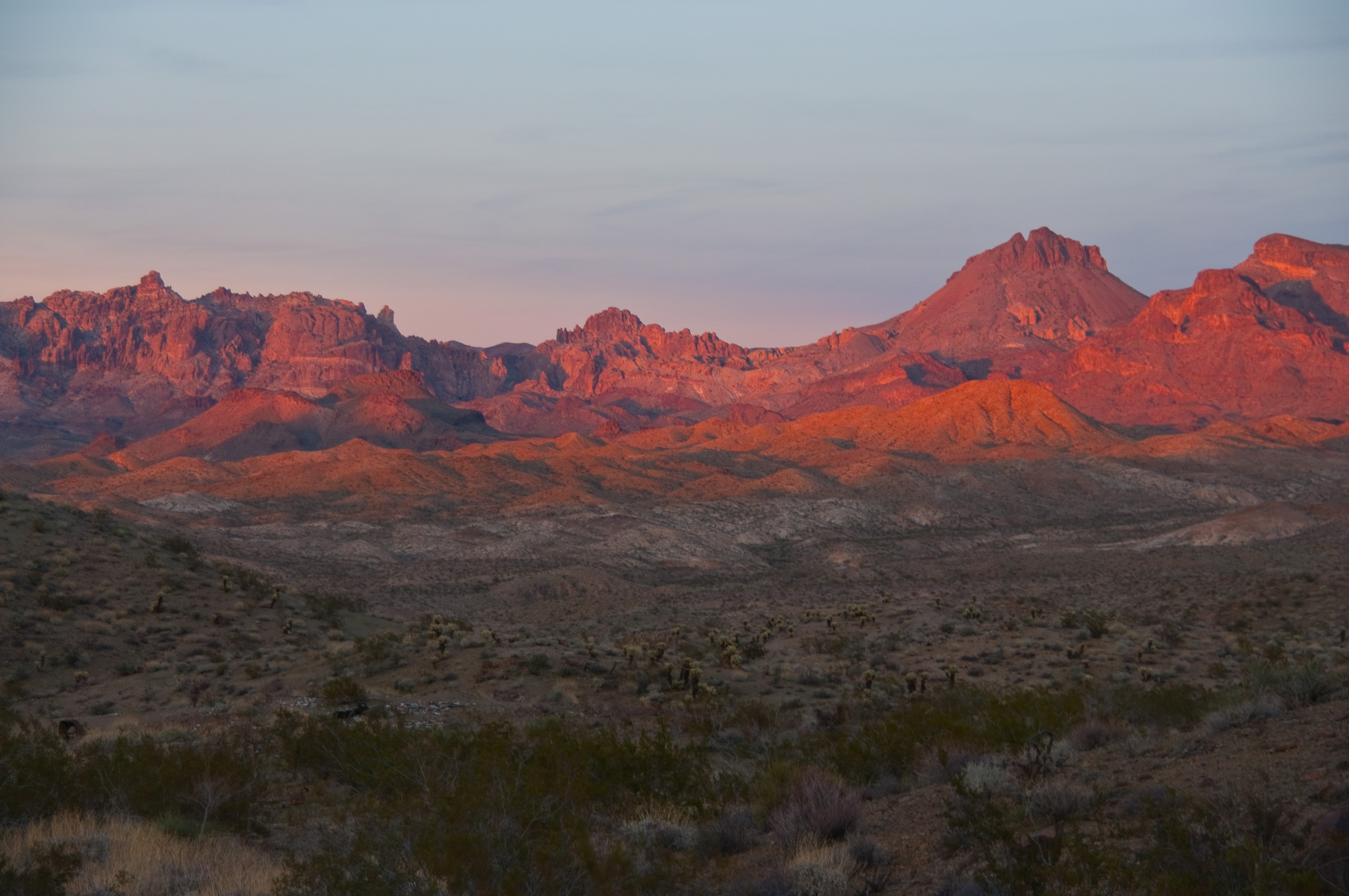
Bullhead View
Burn you up, burn you down

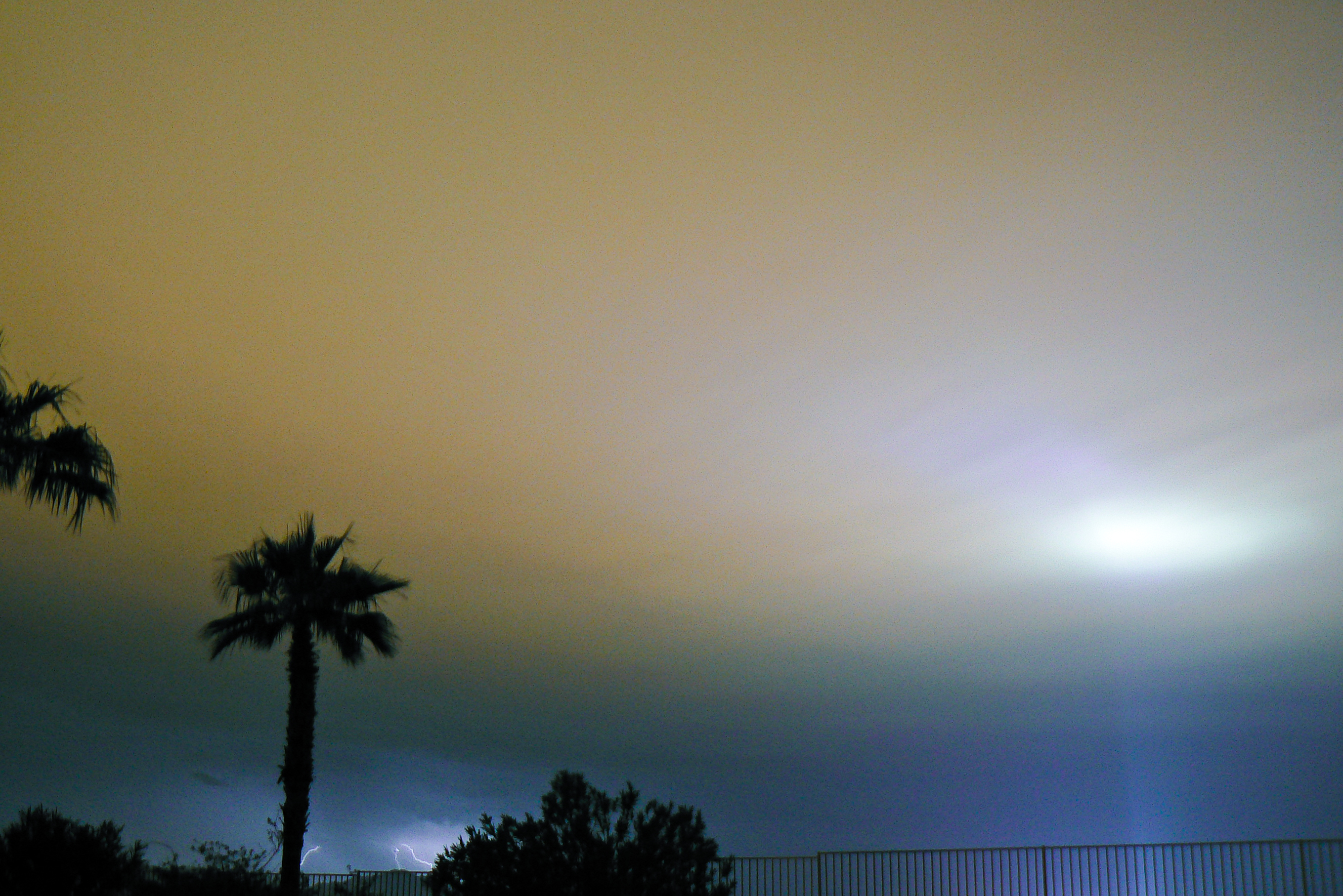
Lightning show outside of Laughlin, NV
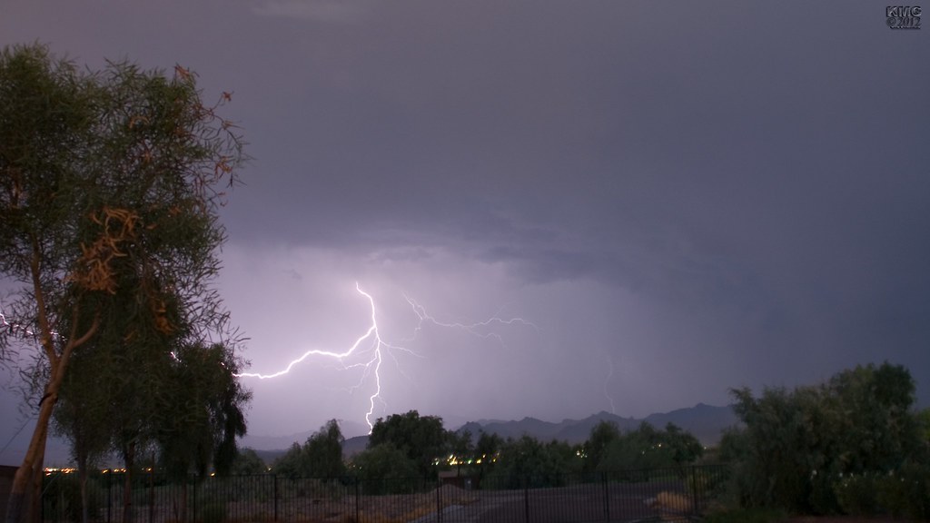
Lightning Travels
From Barstow to Flagstaff, Views
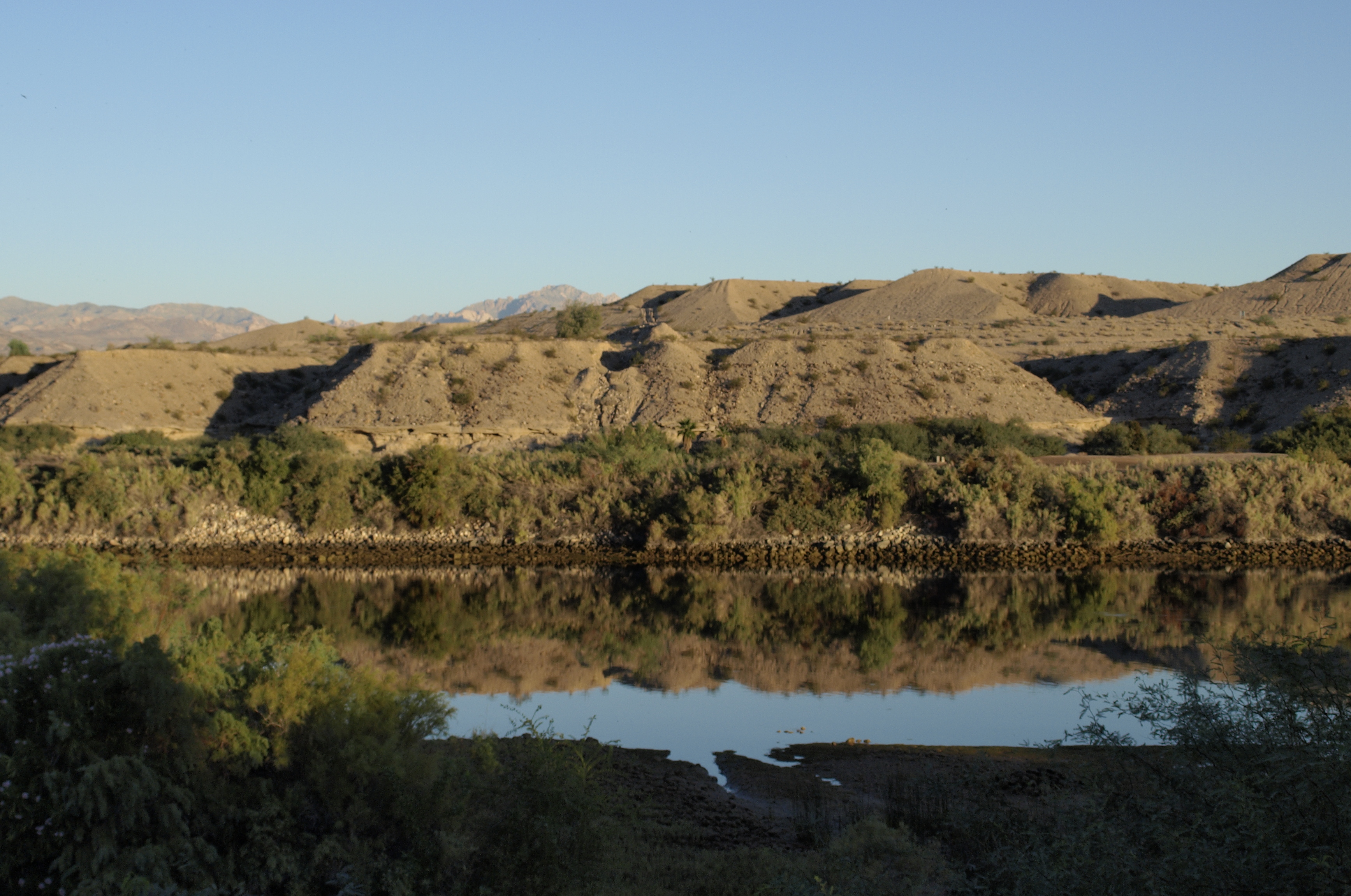
Morning on the river
76089-R1-11-12_012

Rear View Mojave Road

From Barstow to Flagstaff, Views

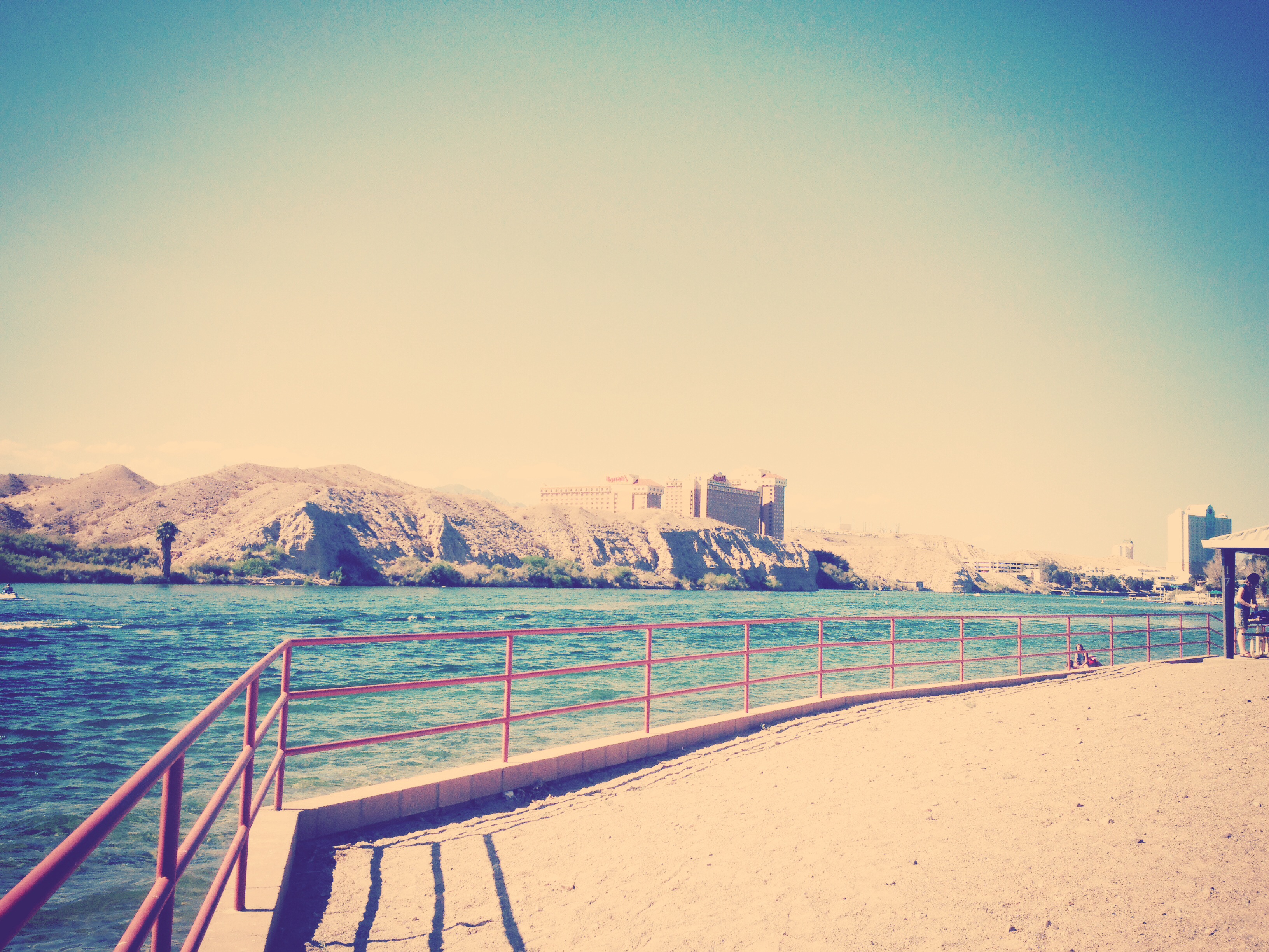
Laughlin, casino level
76089-R1-12-13_013

Happy New Year!
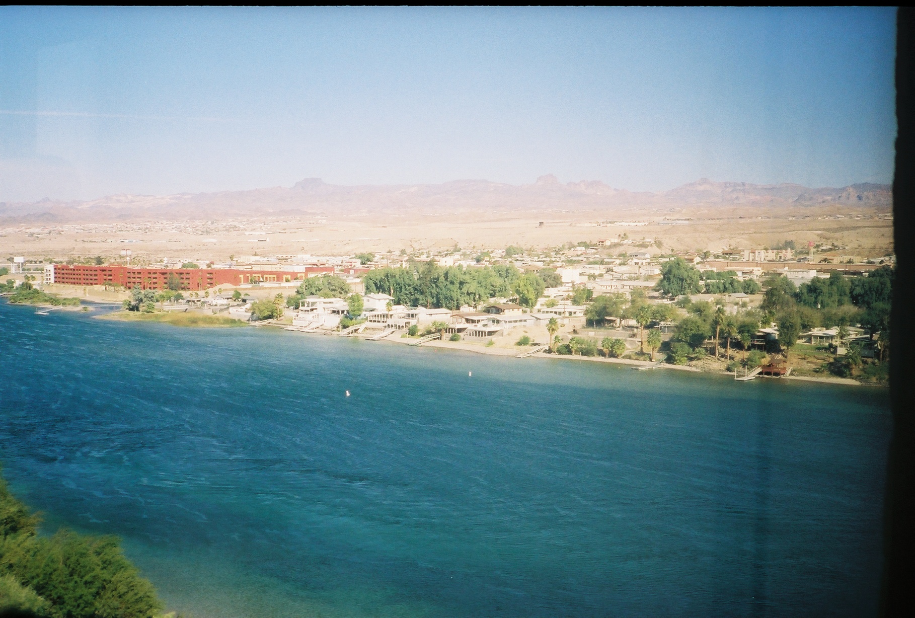
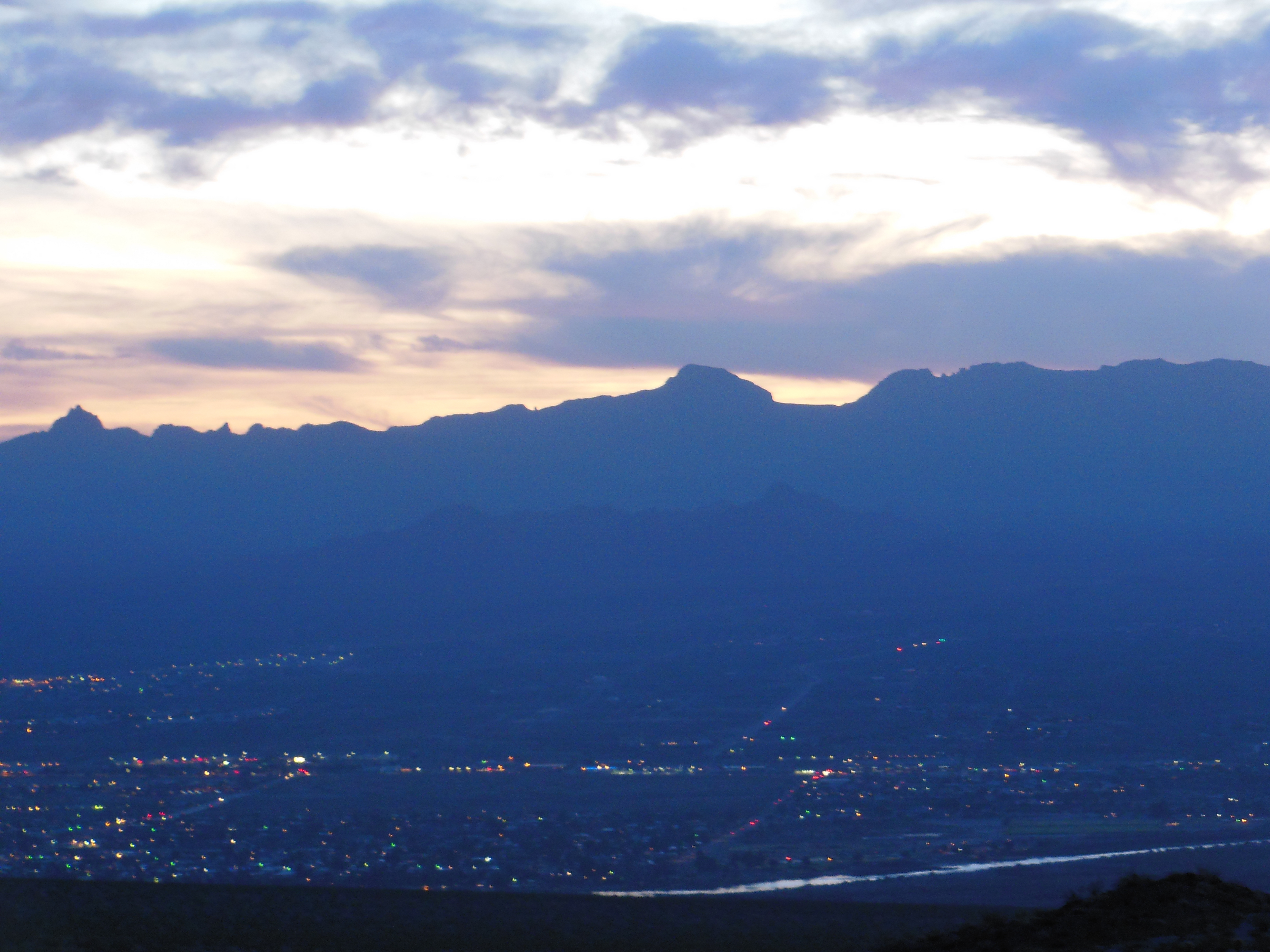
View of Bullhead City and Laughlin, Nevada from Needles Highway, Laughlin, Nevada
View of Bullhead City and Laughlin, Nevada from Needles Highway, Laughlin, Nevada

76089-R1-15-16_016
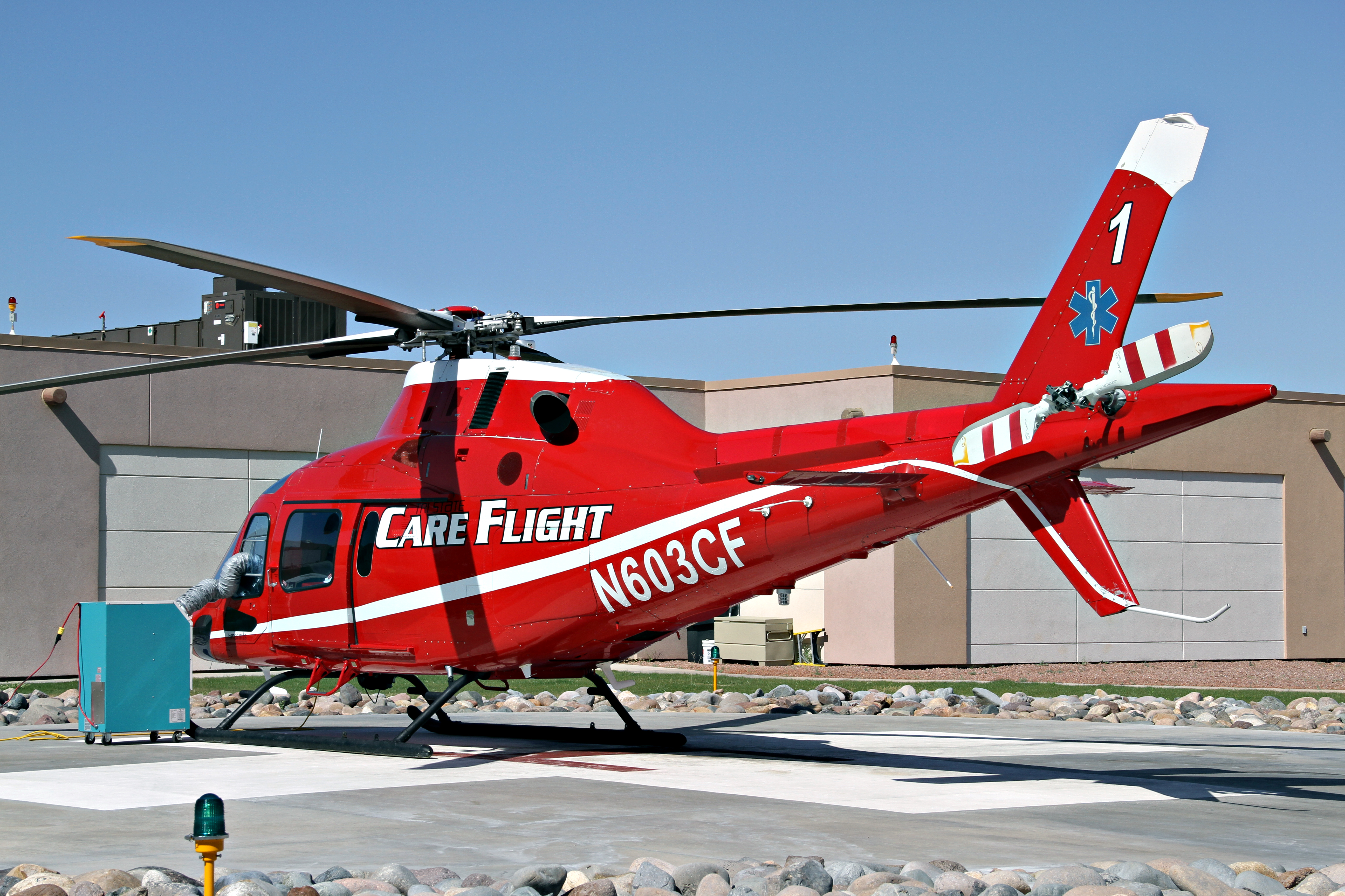
"Care Flight One" - Fort Mohave, AZ USA

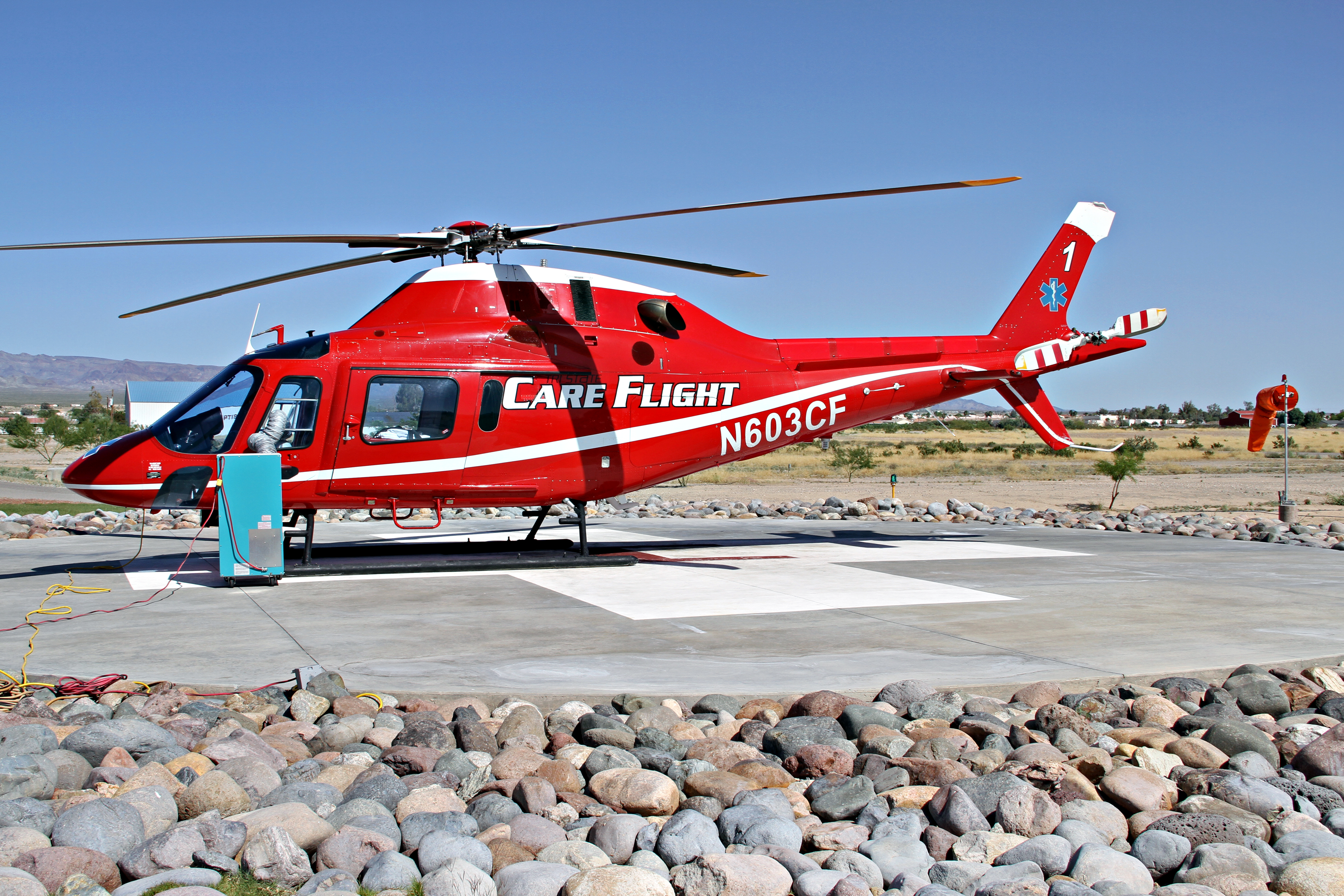
Hella Pad - Fort Mohave, AZ USA
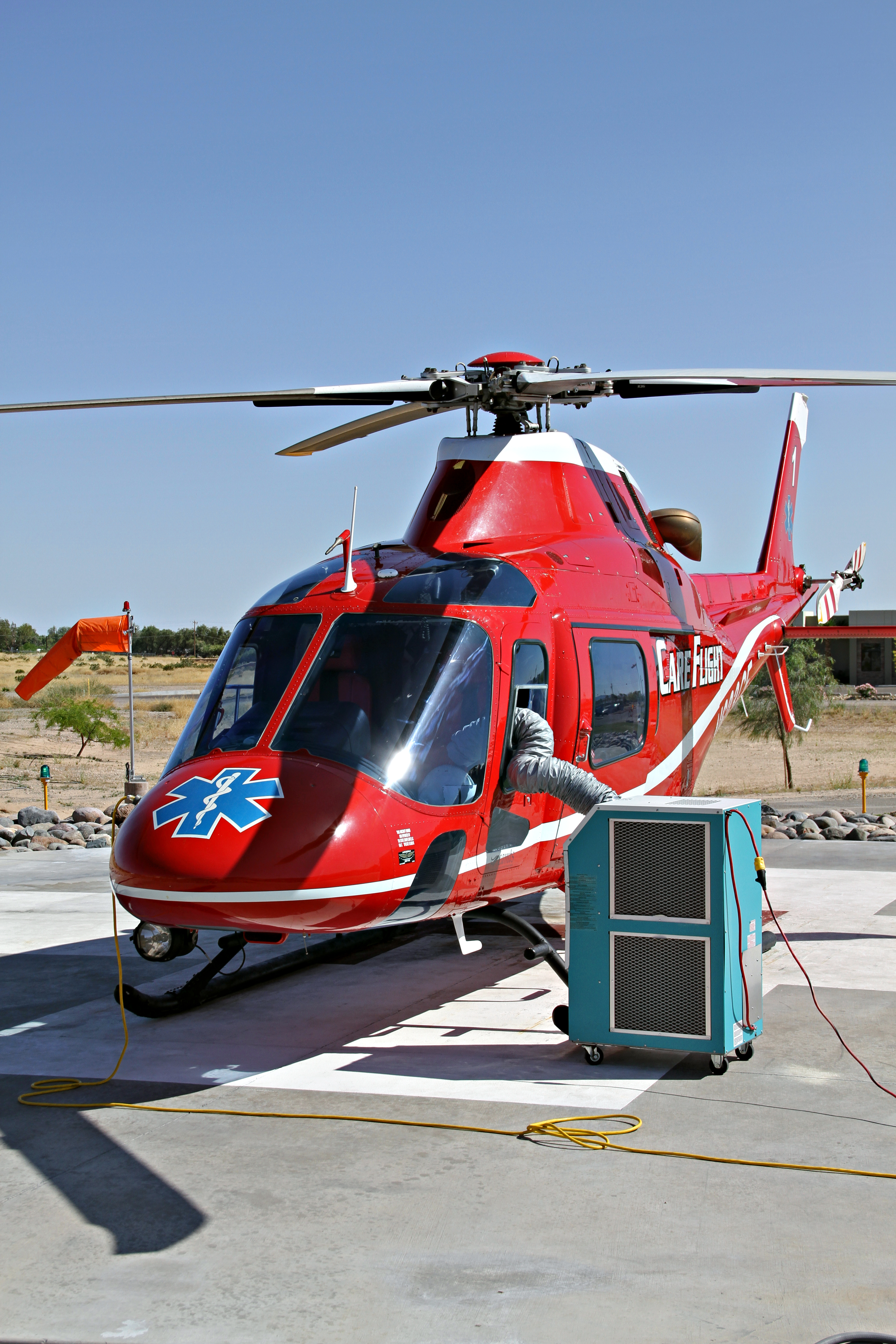
Always Ready - Fort Mohave, AZ USA
Crosswind Component - Fort Mohave, AZ USA
Third and fourth grades have gone to the dogs

View of Bullhead City and Laughlin, Nevada from Needles Highway, Laughlin, Nevada

0309 IMG_7066

on target

DSCN1640.jpg
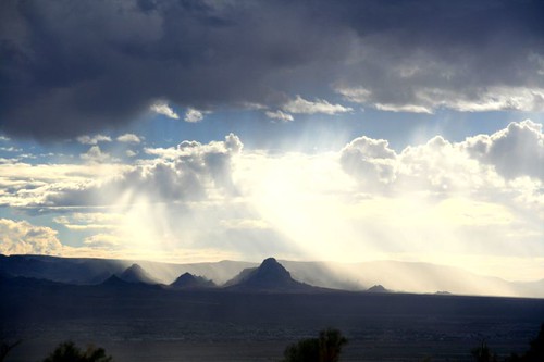
Rain in Piute Valley

DSCN1709.jpg

The Colorado River! Can't wait to go 'play' in it! #casinos #LaughlinNV #coloradoriver

IMG_1991.jpg
fort mohave sunrise

Laughlin Ranch ~ sunrise

13_07_27_EOS650_04629-13_07_27_EOS650_04633_geschaerft

Lightning near Laughlin

DSCN1709.jpg
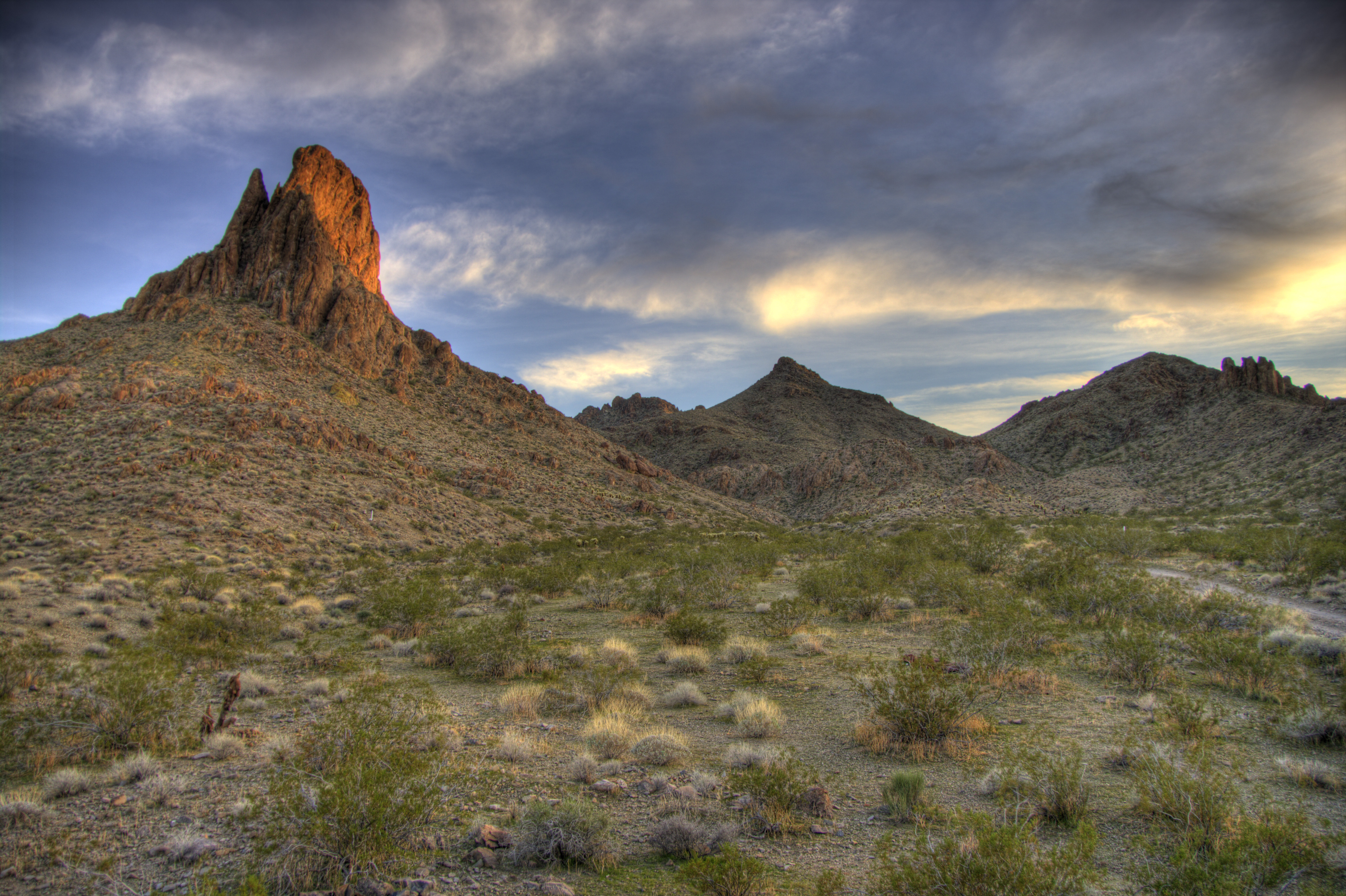
Cathedral Rock
DSCN1657.jpg

13_07_27_EOS650_04629-13_07_27_EOS650_04633_G

Sunset over Laughlin

Laughlin Ranch hot hot hot
Cathedral Rock

Cathedral Rock
The river
Topographic Map of Downey Rd, Fort Mohave, AZ, USA
Find elevation by address:

Places near Downey Rd, Fort Mohave, AZ, USA:
4810 Castilla Dr
4782 Tracy Ln
Fort Mohave
Fort Mohave, AZ, USA
4363 Los Maderos Dr
5660 Tableau Rd
2169 Hammer Ln
4413 Franklin St
2080 Jamie Rd
Clearwater Hills
3805 Nancy St
1535 Jose Ave
3622 Terra Loma
3622 Terra Loma
North Avenue
1787 North Ave
2131 Joann Ave
2225 E Corwin Rd
Bullhead City, AZ, USA
2349 Soaring Eagle Dr
Recent Searches:
- Elevation of Congressional Dr, Stevensville, MD, USA
- Elevation of Bellview Rd, McLean, VA, USA
- Elevation of Stage Island Rd, Chatham, MA, USA
- Elevation of Shibuya Scramble Crossing, 21 Udagawacho, Shibuya City, Tokyo -, Japan
- Elevation of Jadagoniai, Kaunas District Municipality, Lithuania
- Elevation of Pagonija rock, Kranto 7-oji g. 8"N, Kaunas, Lithuania
- Elevation of Co Rd 87, Jamestown, CO, USA
- Elevation of Tenjo, Cundinamarca, Colombia
- Elevation of Côte-des-Neiges, Montreal, QC H4A 3J6, Canada
- Elevation of Bobcat Dr, Helena, MT, USA