Elevation of Dove Ranch Rd, Bayfield, CO, USA
Location: United States > Colorado > Bayfield >
Longitude: -107.59908
Latitude: 37.247677
Elevation: 2139m / 7018feet
Barometric Pressure: 78KPa
Elevation Map:
Satellite Map:
Related Photos:
View from the Deck

D&RGW "San Juan" (View 2)

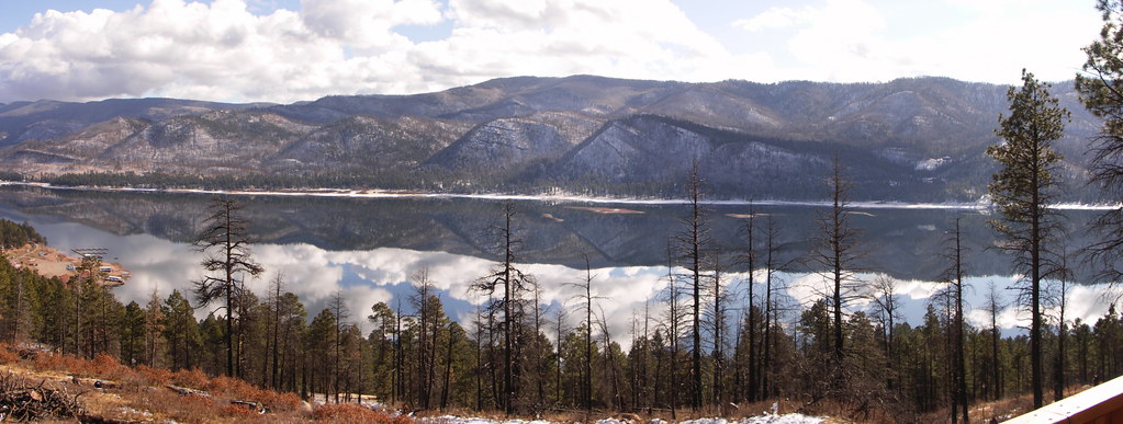
Vallecito Resevoir
The view from the cabin

Vallecito Resevoir
Lurching Cloud Dragon

Bayfield Barn
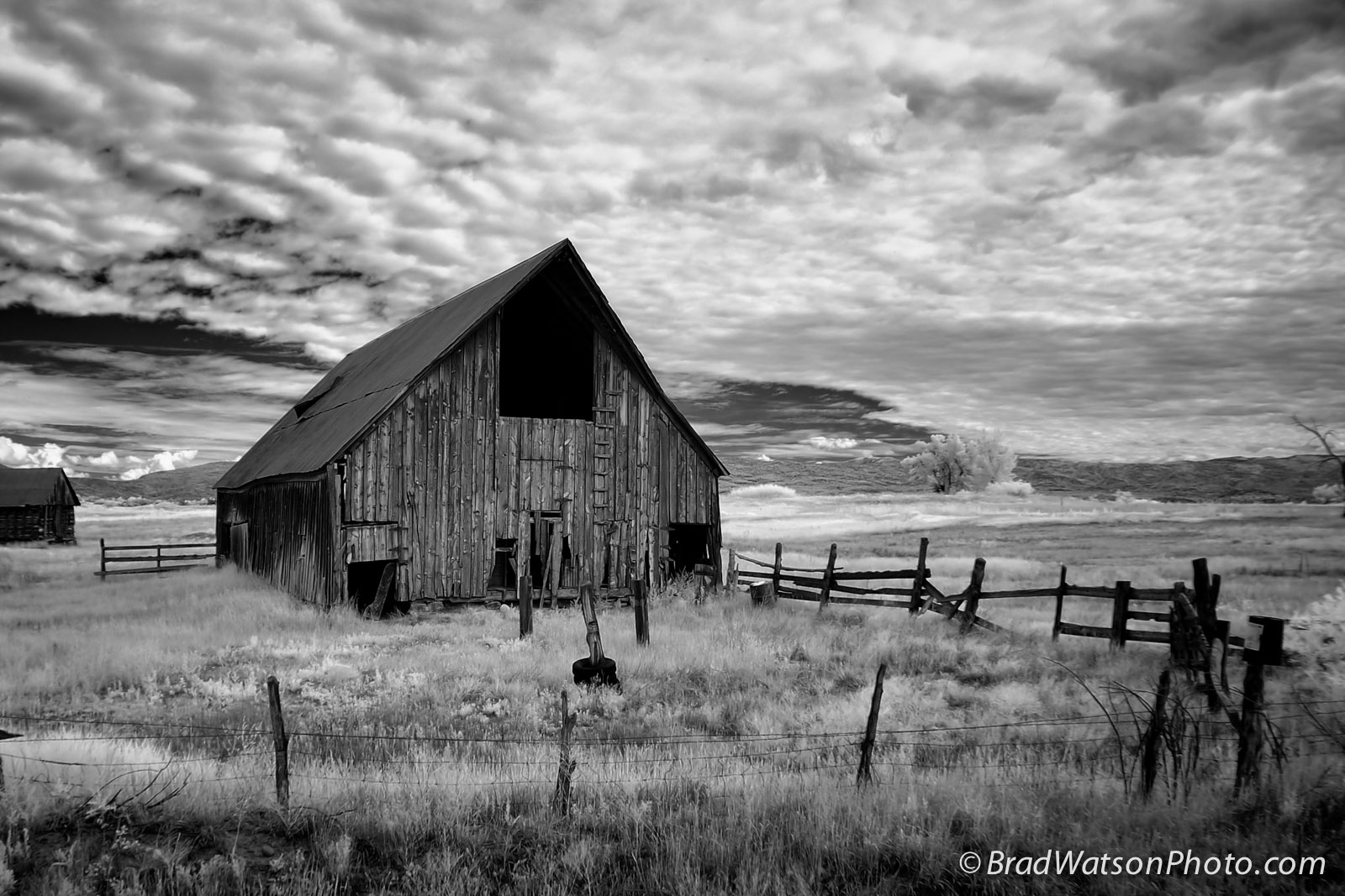
Bayfield Barn
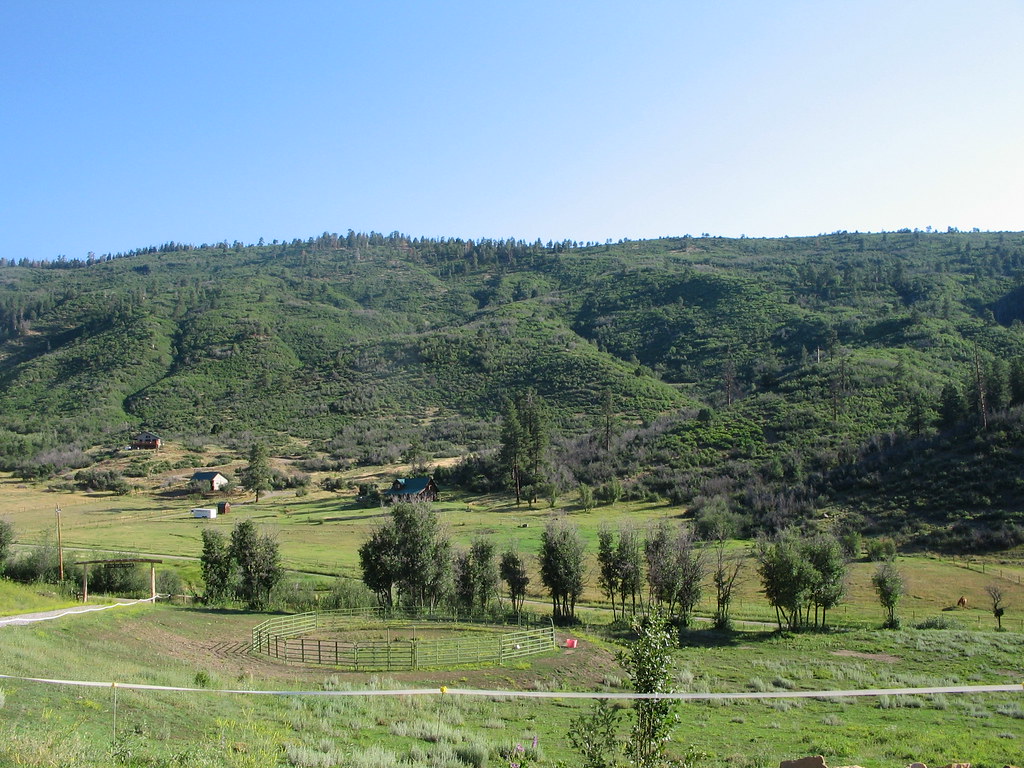
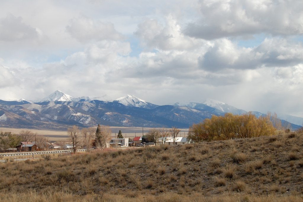
Pine River Valley

Sheep on a country road

Sunset out in the sticks
Mesa Verde Trip-3

P1010779.jpg

P1010780.jpg
FourCorners 061
Fencing in, Fencing out

Mesa Verde Trip-2
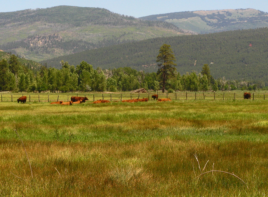
Red Angus: River Ranch: North of Bayfield, Colorado (CO)
Mesa Verde Trip-6
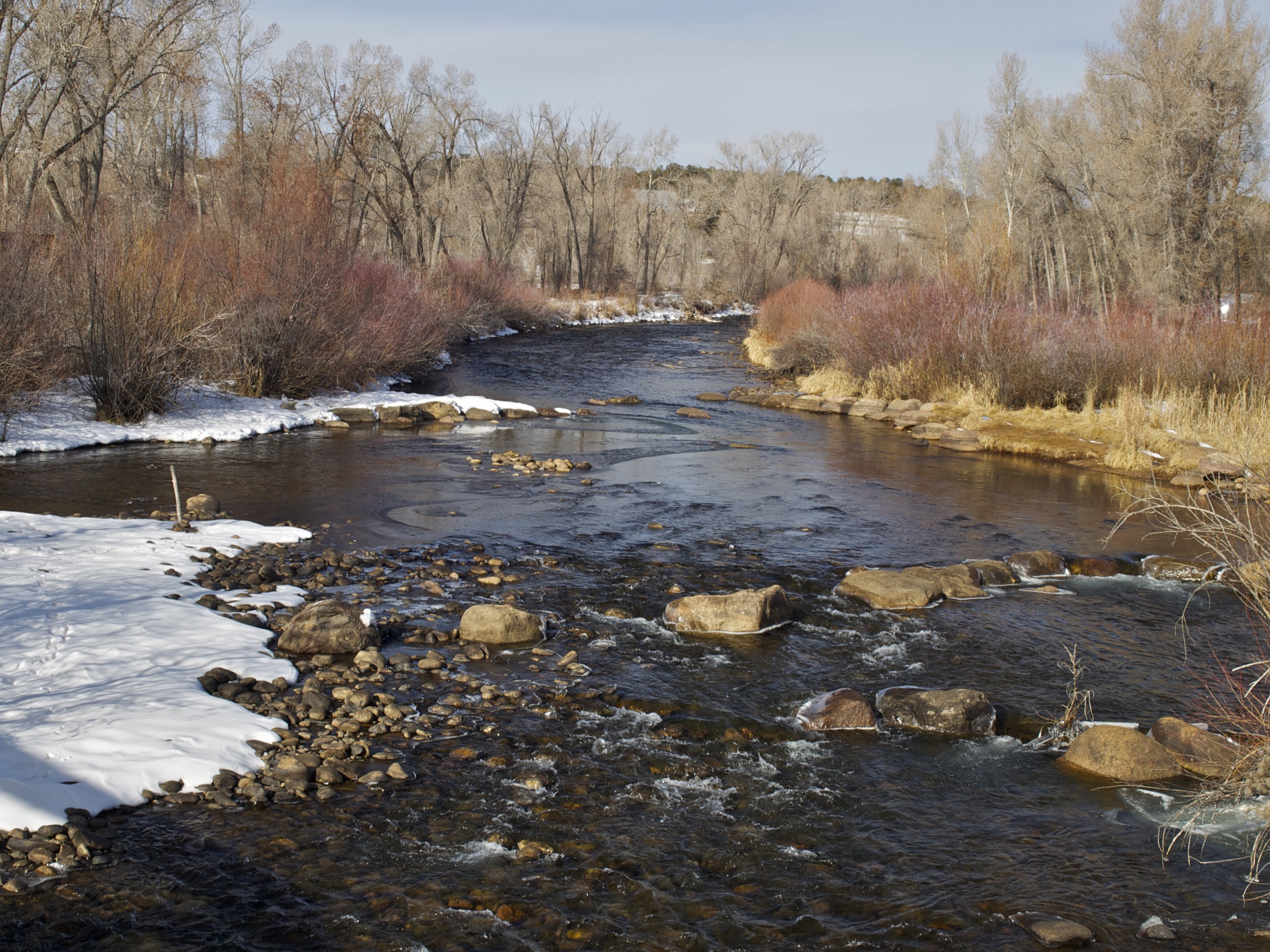
Los Pinos River C
2013-07-31 Four Corners and Beyond - 140
Brokenly Beautiful

[earth-marathon-blog:00852] 山。

Mt.

IMG_5691.jpg
Topographic Map of Dove Ranch Rd, Bayfield, CO, USA
Find elevation by address:

Places near Dove Ranch Rd, Bayfield, CO, USA:
Forest Lakes Metro District
Bayfield
US-, Bayfield, CO, USA
12467 Co-172
805 Co Rd 316
35011 Us-160
139 Payne Ln
178 Sundance Hills Rd
512 Arboles St
Ignacio
Co Rd, Ignacio, CO, USA
710 Ranchos Florida Dr
Southern Ute Reservation
1364 E Pioneer Dr
Brice Canyon
Co Rd, Durango, CO, USA
260 E Pioneer Dr
La Plata County
10 Encantado Ct
2292 Co Rd 228
Recent Searches:
- Elevation of Kreuzburger Weg 13, Düsseldorf, Germany
- Elevation of Gateway Blvd SE, Canton, OH, USA
- Elevation of East W.T. Harris Boulevard, E W.T. Harris Blvd, Charlotte, NC, USA
- Elevation of West Sugar Creek, Charlotte, NC, USA
- Elevation of Wayland, NY, USA
- Elevation of Steadfast Ct, Daphne, AL, USA
- Elevation of Lagasgasan, X+CQH, Tiaong, Quezon, Philippines
- Elevation of Rojo Ct, Atascadero, CA, USA
- Elevation of Flagstaff Drive, Flagstaff Dr, North Carolina, USA
- Elevation of Avery Ln, Lakeland, FL, USA