Elevation of Douglassville, TX, USA
Location: United States > Texas > Cass County >
Longitude: -94.353527
Latitude: 33.1920712
Elevation: 120m / 394feet
Barometric Pressure: 100KPa
Elevation Map:
Satellite Map:
Related Photos:
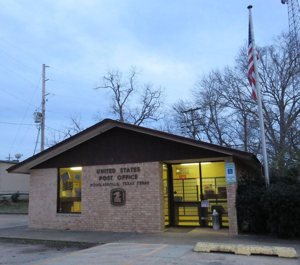
Post Office 75560 (Douglassville, Texas)

Pleasant Hill School Historical Marker (iPhone)

Pleasant Hill School Historical Marker (iPhone)

20140504-PANO_2014P1000548

20140504-PANO_2014P1000549

20140504-PANO_2014P1000553

20140504-PANO_2014P1000554

20140504-PANO_2014P1000555

20140503-PANO_2014P1000496

20140503-PANO_2014P1000494

20140503-PANO_2014P1000482

20140503-PANO_2014P1000473
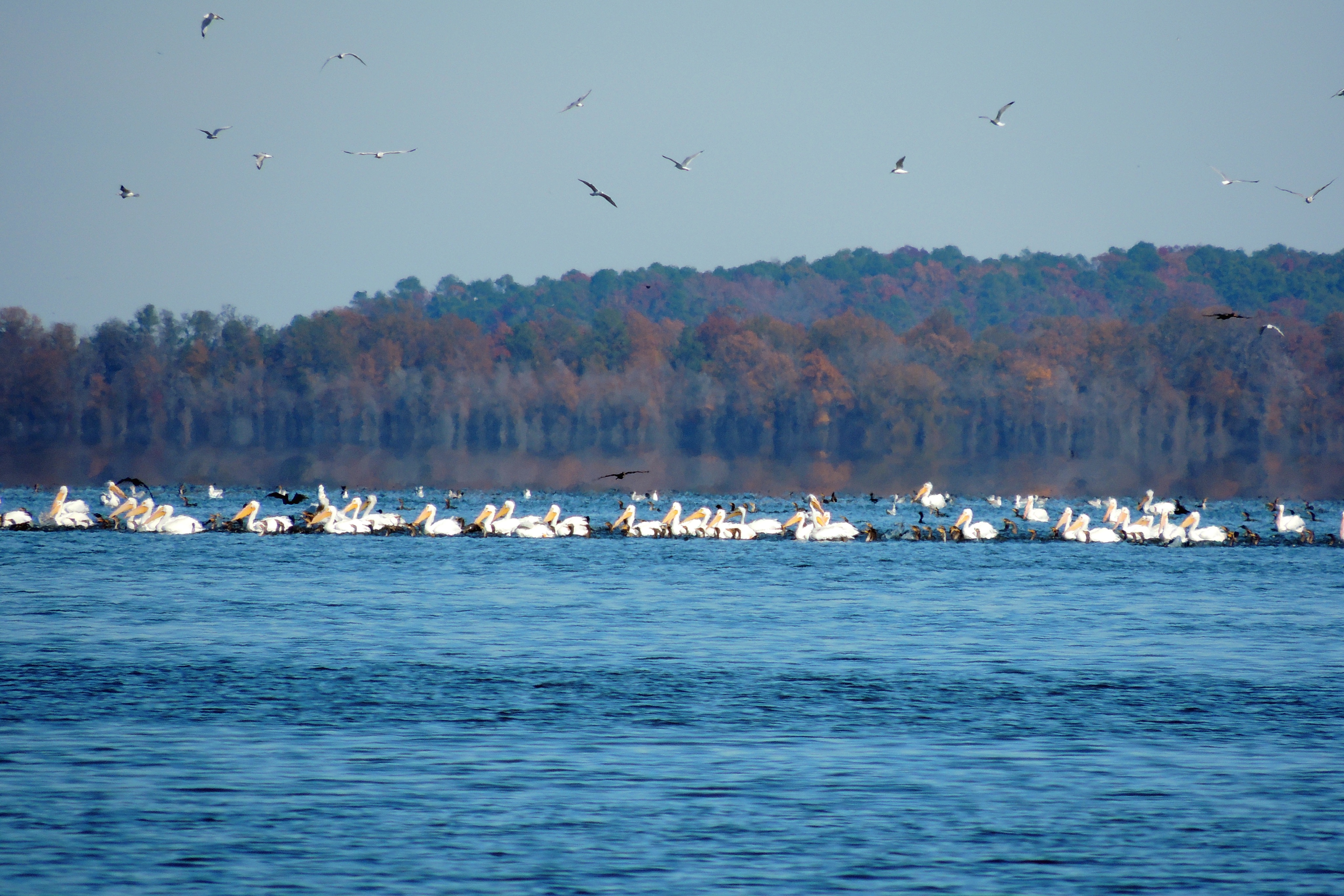
Comorants And American White Pelicans, Wright Patman Lake

Blue Hour

Clinging to Spring
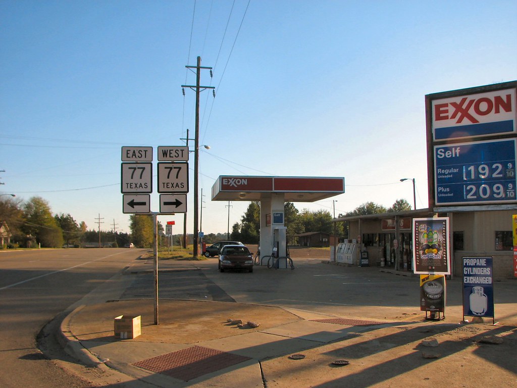
East-West 77

Abandoned Gas Station

Abandoned Gas Station

Abandoned Gas Station
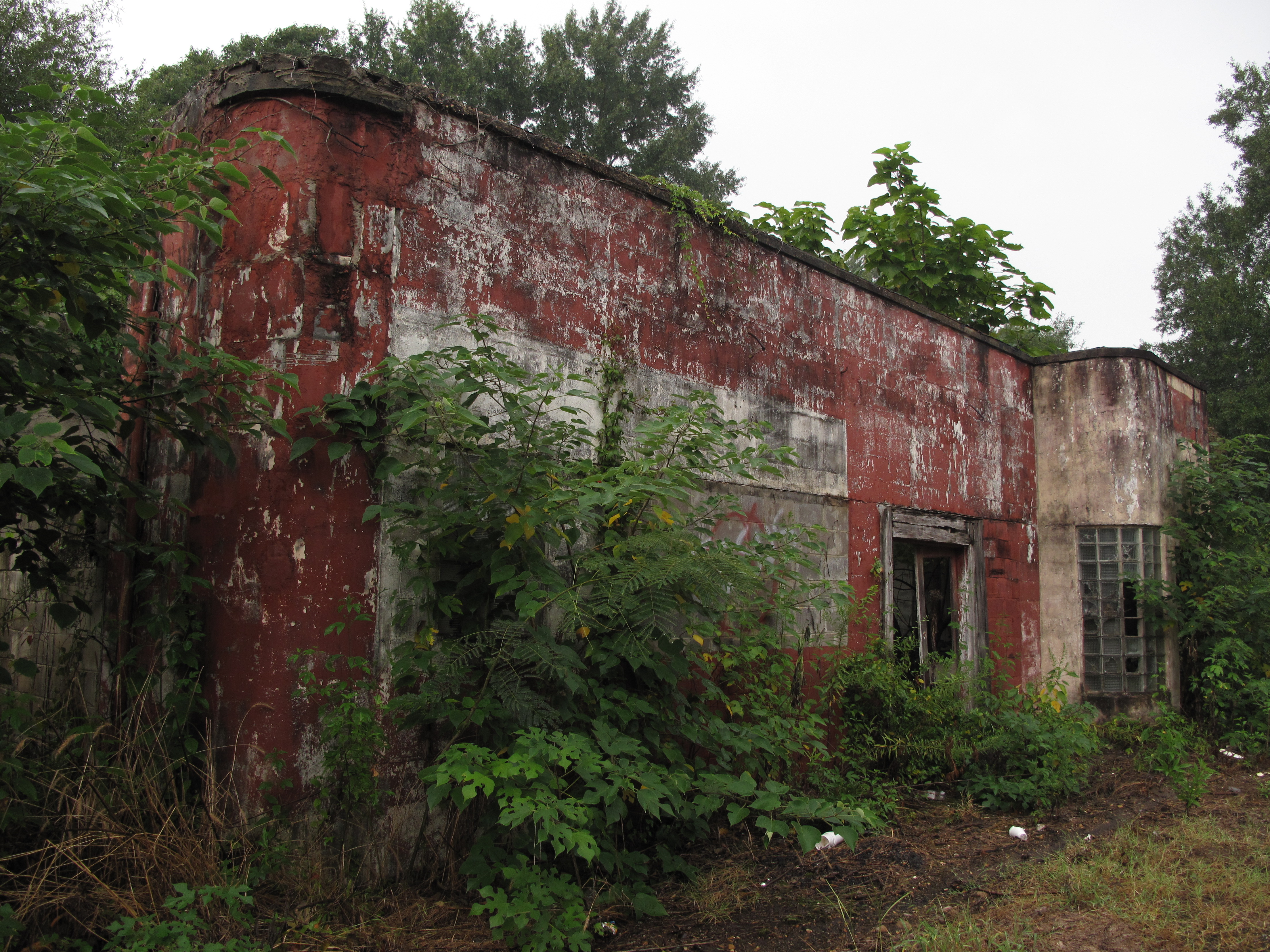
Abandoned Gas Station

Abandoned Gas Station
Topographic Map of Douglassville, TX, USA
Find elevation by address:

Places in Douglassville, TX, USA:
Places near Douglassville, TX, USA:
TX-8, Douglassville, TX, USA
810 Co Rd 2228
Cass County
Farm to Market Rd Hwy, Maud, TX, USA
FM, Marietta, TX, USA
Maud
568 Co Rd 2361
896 Co Rd 1349
Linden, TX, USA
5544 Tx-8
N Main St, Linden, TX, USA
Linden
1000 W Houston St
US-67, Simms, TX, USA
Marietta
Arkadelphia Baptist Church
201 Co Rd 1752
4209 Fm 2149
Simms
County Road 1465
Recent Searches:
- Elevation of Fern Rd, Whitmore, CA, USA
- Elevation of 62 Abbey St, Marshfield, MA, USA
- Elevation of Fernwood, Bradenton, FL, USA
- Elevation of Felindre, Swansea SA5 7LU, UK
- Elevation of Leyte Industrial Development Estate, Isabel, Leyte, Philippines
- Elevation of W Granada St, Tampa, FL, USA
- Elevation of Pykes Down, Ivybridge PL21 0BY, UK
- Elevation of Jalan Senandin, Lutong, Miri, Sarawak, Malaysia
- Elevation of Bilohirs'k
- Elevation of 30 Oak Lawn Dr, Barkhamsted, CT, USA